The best road cycling routes in Col Basset (Sestriere)
4.7
(122)
8,752
riders
43
rides
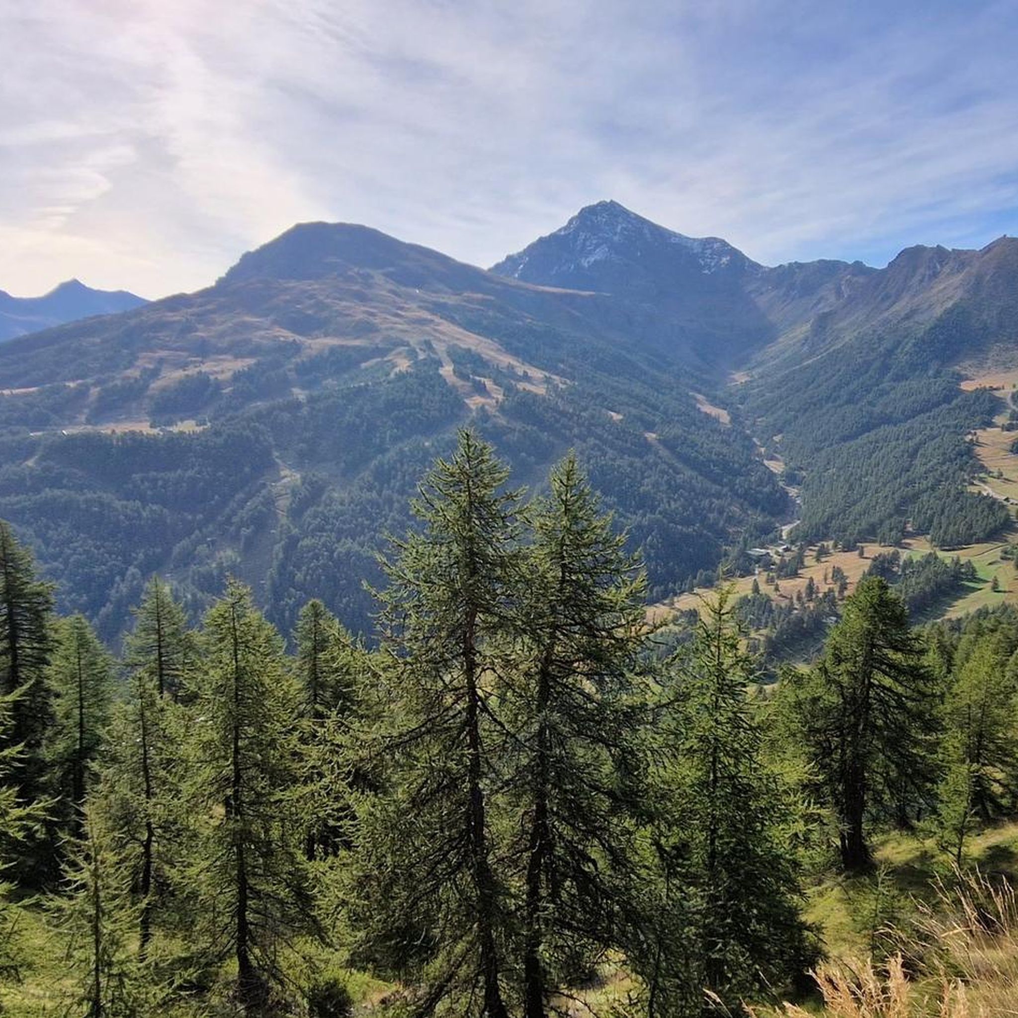
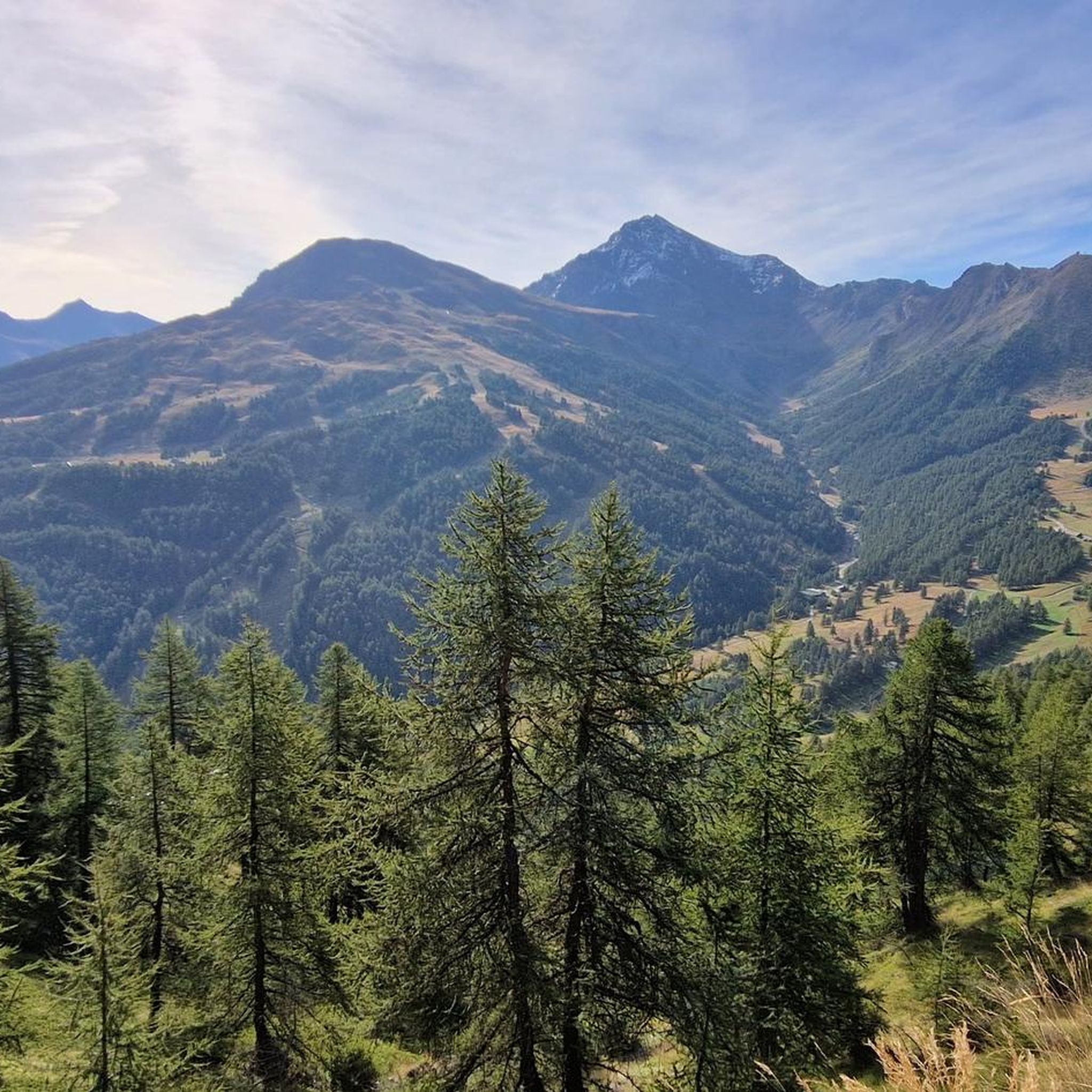
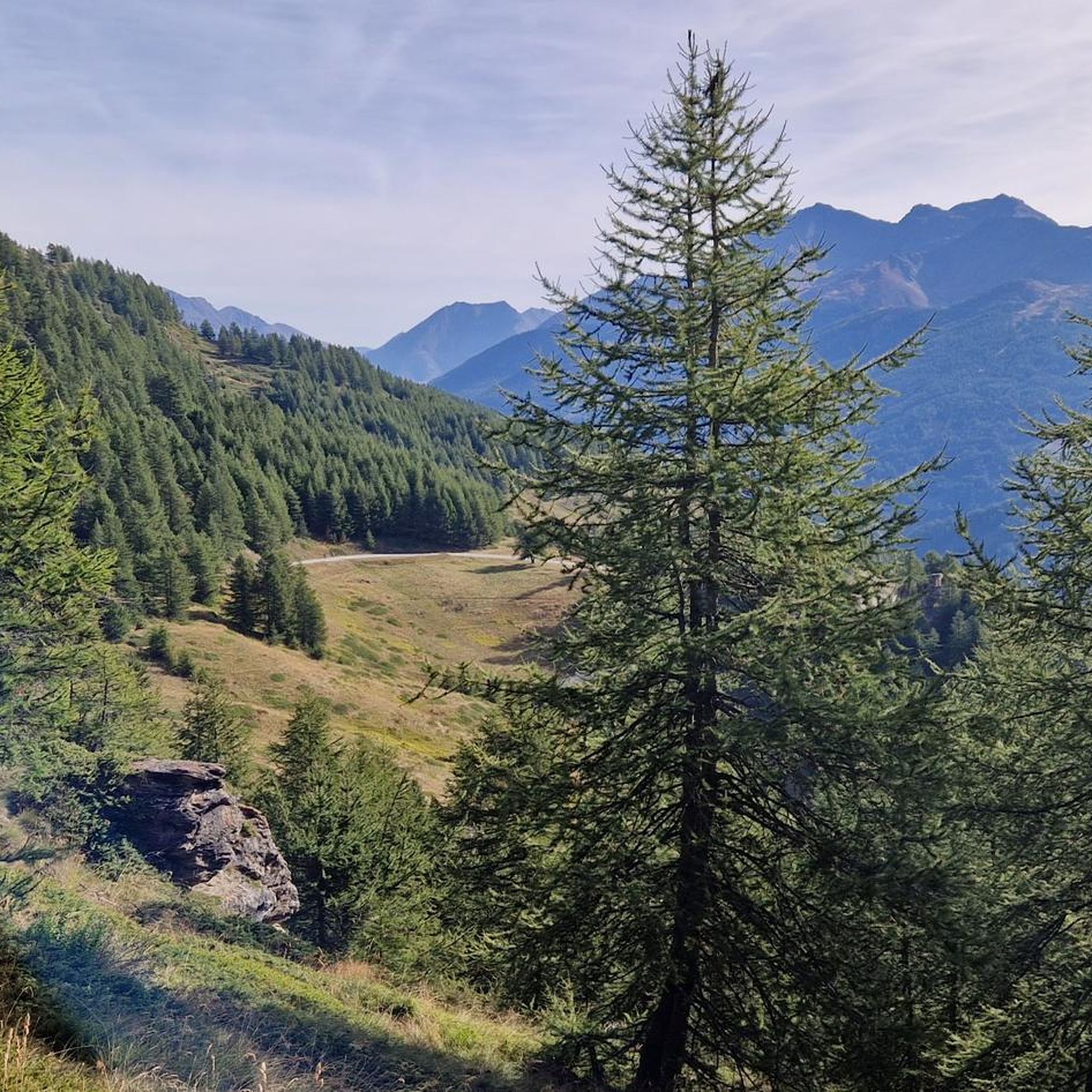
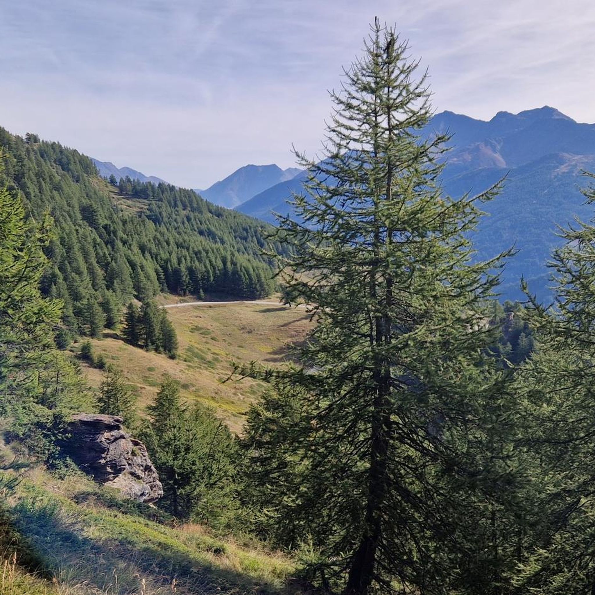
Road cycling in Col Basset (Sestriere) offers challenging alpine terrain with significant elevation gains and high mountain paths. The region is characterized by sweeping panoramic views of the Alpine arc, transitioning from alpine meadows to rocky scree at higher elevations. Historic military dirt roads, locally known as "white roads," connect the Susa and Chisone Valleys, providing unique cycling surfaces. Sestriere itself is situated at 2,036 meters above sea level, surrounded by peaks exceeding 3,000 meters.
Best road cycling routes in…
Last updated: July 15, 2026
4.8
(8)
1,566
riders
93.8km
05:57
2,530m
2,530m
Hard road ride. Very good fitness required. Some segments of this route may be unpaved and difficult to ride.
4.7
(3)
404
riders
34.3km
02:06
910m
910m
Hard road ride. Very good fitness required. Mostly well-paved surfaces and easy to ride.

Sign up for free
4.7
(6)
285
riders
92.4km
04:48
1,640m
1,640m
Hard road ride. Very good fitness required. Some segments of this route may be unpaved and difficult to ride.
5.0
(1)
78
riders
22.9km
01:23
580m
580m
Moderate road ride. Good fitness required. Mostly well-paved surfaces and easy to ride.
27
riders
26.1km
01:44
800m
800m
Moderate road ride. Good fitness required. Some segments of this route may be unpaved and difficult to ride.
Get access to more routes and recommendations from other explorers.
Sign up for free
Already have an account?
Our route recommendations are based on thousands of hikes, rides, and runs completed by other people on komoot.
Start today with a free account
Your next adventure awaits.
Login or Signup


Tips from the Community

starting point for various Alpine tours
0
0

To reach the bench, you have to walk along a path for the last stretch, leaving your bike near the road, which actually continues for a bit, but as I climbed, I didn't get the impression that it reached the bench.
0
0

Here is the itinerary for the ascent of Colle del Sestriere starting from Pragelato
1
0

A beautiful climb to the famous Piedmontese ski resort; never prohibitive but moderately long.
4
0


Although the flag parade seen in some of the photos (which various users have uploaded to the highlight) could theoretically fit into a memorial for the victims of the two world wars – who came from many different nationalities – they do not belong in any context with the “Monumento ai caduti”.
0
0

A beautiful stretch that allows you to reach the Argentera Valley more easily, or with more effort Cima del Bosco
1
0

Rest stop before tackling the final 8 km climb to Sestriere (2035 m). Eat some protein and remember to bring water. The climb is always exposed to the sun. The average gradient is 6%.
0
0
Frequently Asked Questions
What kind of terrain can I expect when road cycling in Col Basset (Sestriere)?
Road cycling in Col Basset (Sestriere) is characterized by challenging alpine terrain with significant elevation gains and high mountain paths. You'll encounter sweeping panoramic views of the Alpine arc. Some routes also feature historic military dirt roads, locally known as "white roads," which connect the Susa and Chisone Valleys, offering a unique surface experience.
Are there road cycling routes suitable for beginners or those looking for an easier ride?
Yes, while the region is known for its challenging climbs, there are options for various skill levels. Out of 31 total road cycling routes, 3 are classified as easy and 14 as moderate. For example, the Sestriere Town Center – Poggio Capret loop from Sestriere is a moderate 27.2 km (16.9 miles) path with a mix of ascents and descents, offering great views without extreme difficulty.
What is the best time of year for road cycling in Col Basset (Sestriere)?
The best time for road cycling in Col Basset (Sestriere) is typically during July and August. During these months, the weather conditions are generally most favorable for tackling the high-altitude routes and enjoying the alpine landscapes.
What are some notable landmarks or viewpoints I can see along the road cycling routes?
The region offers breathtaking panoramic vistas. From Col Basset itself, you can admire a sweeping view of the Alpine arc, stretching from Mount Chaberton to Seguret, and encompassing Sestriere and Sauze d'Oulx. Mount Fraiteve is another prominent peak offering spectacular scenery. Many routes also pass by historical fortifications and military roads, adding a layer of intrigue to the natural beauty.
How many road cycling routes are available in Col Basset (Sestriere)?
There are over 30 road cycling routes available in Col Basset (Sestriere) on komoot, catering to various difficulty levels from easy to difficult. This includes 3 easy, 14 moderate, and 14 difficult routes.
Are there any long-distance or challenging routes for experienced road cyclists?
Absolutely. Col Basset (Sestriere) is renowned for its challenging routes, often featuring in professional races. For experienced cyclists, routes like the Arch of Augustus in Susa – Pian dell'Alpe loop from Sestriere, a difficult 93.8 km (58.3 miles) trail with over 2,500 meters of elevation gain, offer substantial climbs through alpine landscapes. Another challenging option is the Fort of Fenestrelle – View of Perosa Argentina loop from Sestriere, an 82.0 km (51.0 miles) route through historical military paths.
What do other road cyclists enjoy most about the routes in Col Basset (Sestriere)?
The road cycling routes in Col Basset (Sestriere) are highly rated by the komoot community, with an average score of 4.5 stars from over 90 reviews. Cyclists often praise the challenging alpine climbs, the stunning panoramic views of the Alpine arc, and the unique experience of riding on historic military roads.
Are there any circular road cycling routes in the area?
Yes, many of the routes in Col Basset (Sestriere) are designed as loops, allowing you to start and finish in the same location. Examples include the Arch of Augustus in Susa – Pian dell'Alpe loop from Sestriere and the Fountain in Pragelato – Fort of Fenestrelle loop from Sestriere, providing diverse experiences from moderate to difficult.
Can I find information about the historic mountain routes in the Col Basset area?
Yes, the region is rich in historical significance, with routes that include ancient military paths. For more detailed information on these historic mountain routes, you can explore resources like the VisitPiemonte website, which provides insights into the historic mountain routes around Sestriere and Col Basset.
What is the typical elevation of the road cycling routes in Col Basset (Sestriere)?
Sestriere itself is situated at 2,036 meters above sea level, and the surrounding peaks can exceed 3,000 meters. Road cycling routes in this area feature significant elevation gains. For instance, the Arch of Augustus in Susa – Pian dell'Alpe loop from Sestriere involves over 2,500 meters of ascent, providing a true alpine climbing experience.
Are there any shorter road cycling routes for a quick ride?
Yes, if you're looking for a shorter ride, the Fountain in Pragelato – Approach Trail loop from Sestriere is a moderate 22.9 km (14.2 miles) route that can be completed in under 1 hour 30 minutes, offering a good option for a quicker outing.
Most popular routes in Col Basset (Sestriere)
Most popular attractions in Col Basset (Sestriere)

Get inspired with the komoot mobile app


Explore more
Browse the best Road cycling routes in other regions.
