The best cycling routes in Val D'Ozola, Monte Cusna
4.8
(94)
1,620
riders
86
rides
Touring cycling routes in Val D'Ozola, Monte Cusna traverse a landscape defined by dramatic mountain ranges and dense forests within the Apennines. The region features prominent peaks like Monte Cusna, the second-highest in Emilia-Romagna, and valleys such as Val D'Ozola, characterized by extensive high-trunk beech forests and continuous water flow from numerous streams. Routes often include winding panoramic roads that showcase the rugged terrain, with significant elevation changes. Some segments may be unpaved or challenging, requiring good fitness.
Best touring…
Last updated: August 23, 2026
111
riders
52.3km
05:25
1,780m
1,780m
Hard bike ride. Very good fitness required. You may need to push your bike for some segments of this route.
13
riders
57.6km
04:23
1,460m
1,450m
Hard bike ride. Very good fitness required. Mostly paved surfaces. Suitable for all skill levels.

Sign up for free
11
riders
30.6km
02:24
840m
840m
Hard bike ride. Very good fitness required. Mostly paved surfaces. Suitable for all skill levels.
5.0
(1)
5
riders
21.6km
01:57
740m
740m
Hard bike ride. Very good fitness required. Mostly paved surfaces. Suitable for all skill levels.
2
riders
54.8km
05:22
1,950m
1,950m
Hard bike ride. Very good fitness required. You may need to push your bike for some segments of this route.
Get access to more routes and recommendations from other explorers.
Sign up for free
Already have an account?
Our route recommendations are based on thousands of hikes, rides, and runs completed by other people on komoot.
Start today with a free account
Your next adventure awaits.
Login or Signup
Popular around Val D'Ozola, Monte Cusna

Berceto to Abetone – Alta Via dei Parchi (part 1)
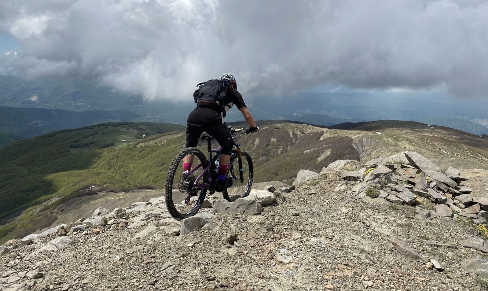
On the Giant's summits — Italy's Mount Cusna by mountain bike
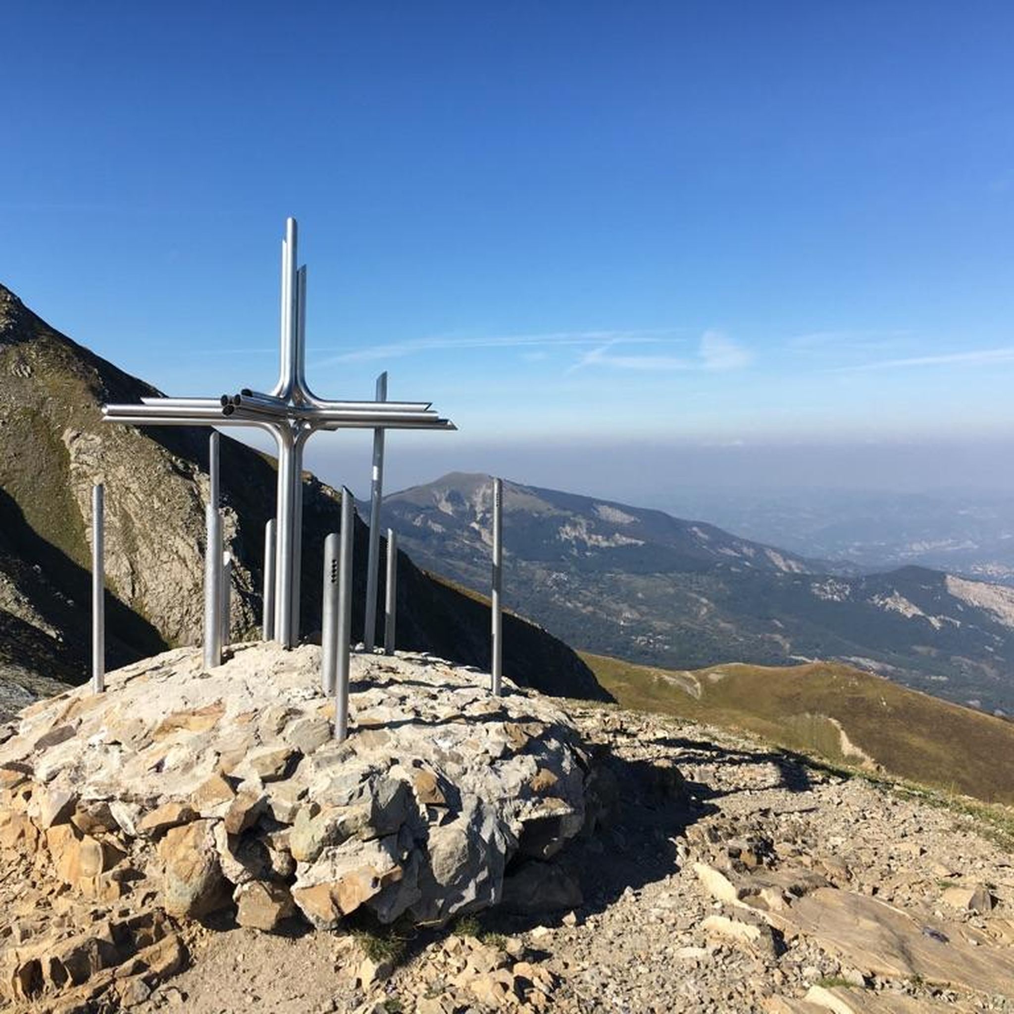
Hiking in Val D'Ozola, Monte Cusna
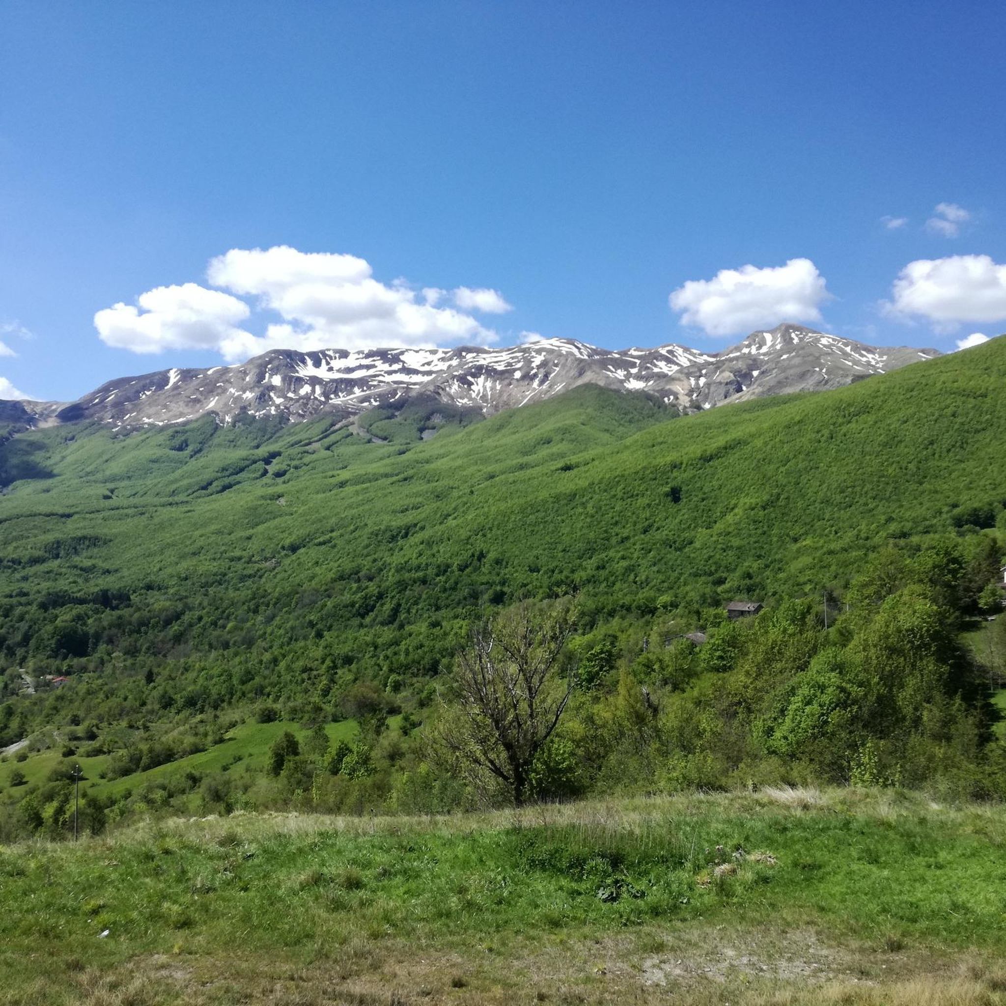
Road Cycling Routes in Val D'Ozola, Monte Cusna
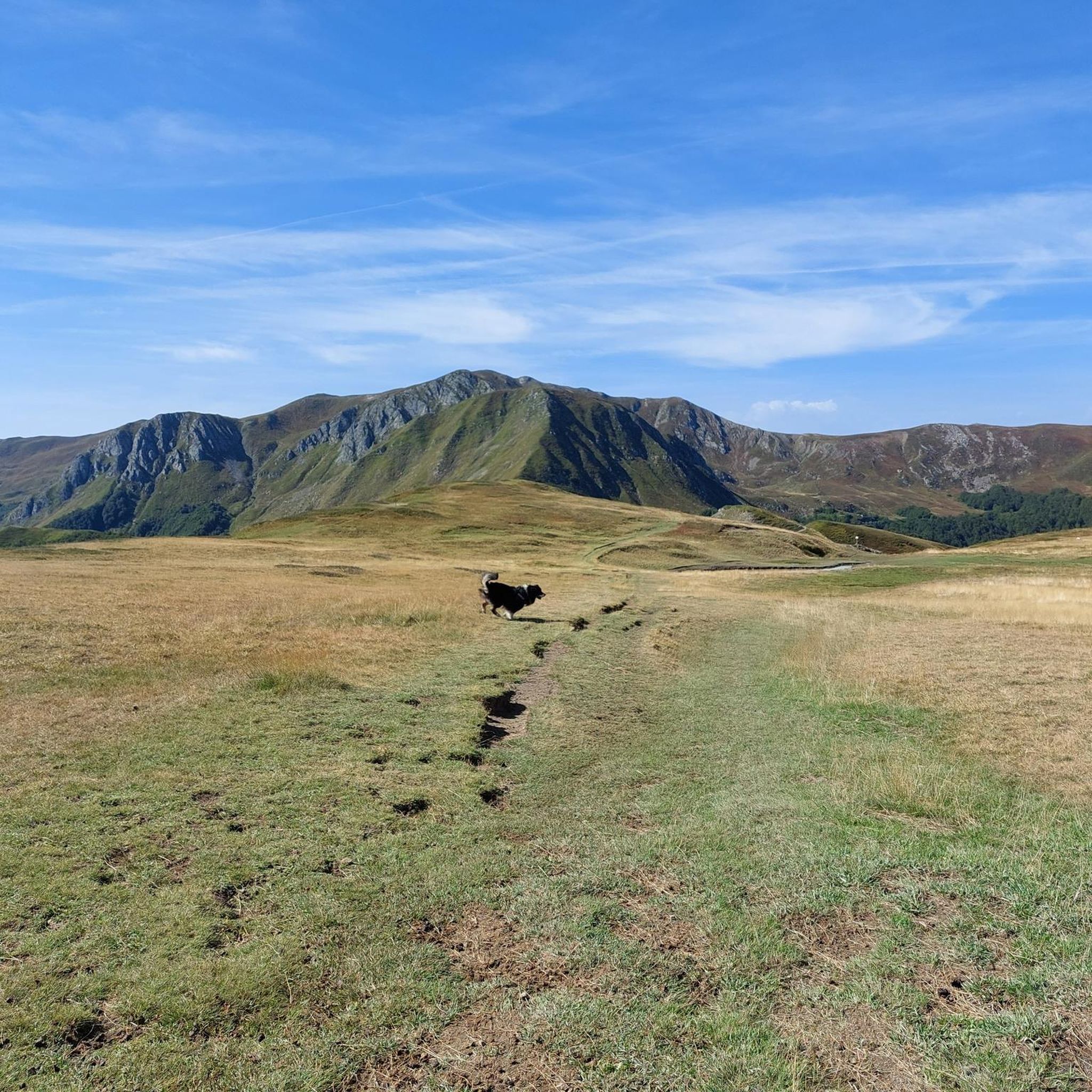
MTB Trails in Val D'Ozola, Monte Cusna
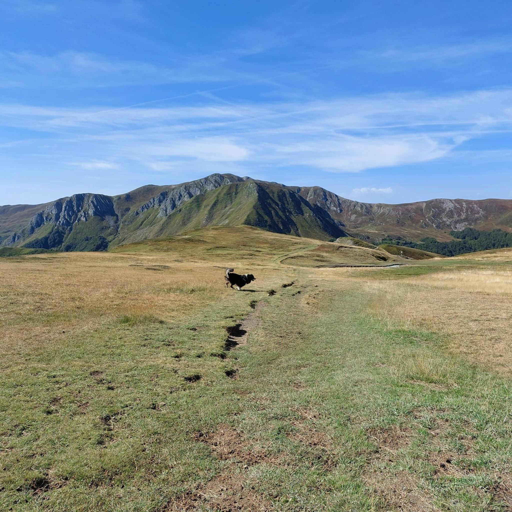
Running Trails in Val D'Ozola, Monte Cusna

Gravel biking in Val D'Ozola, Monte Cusna
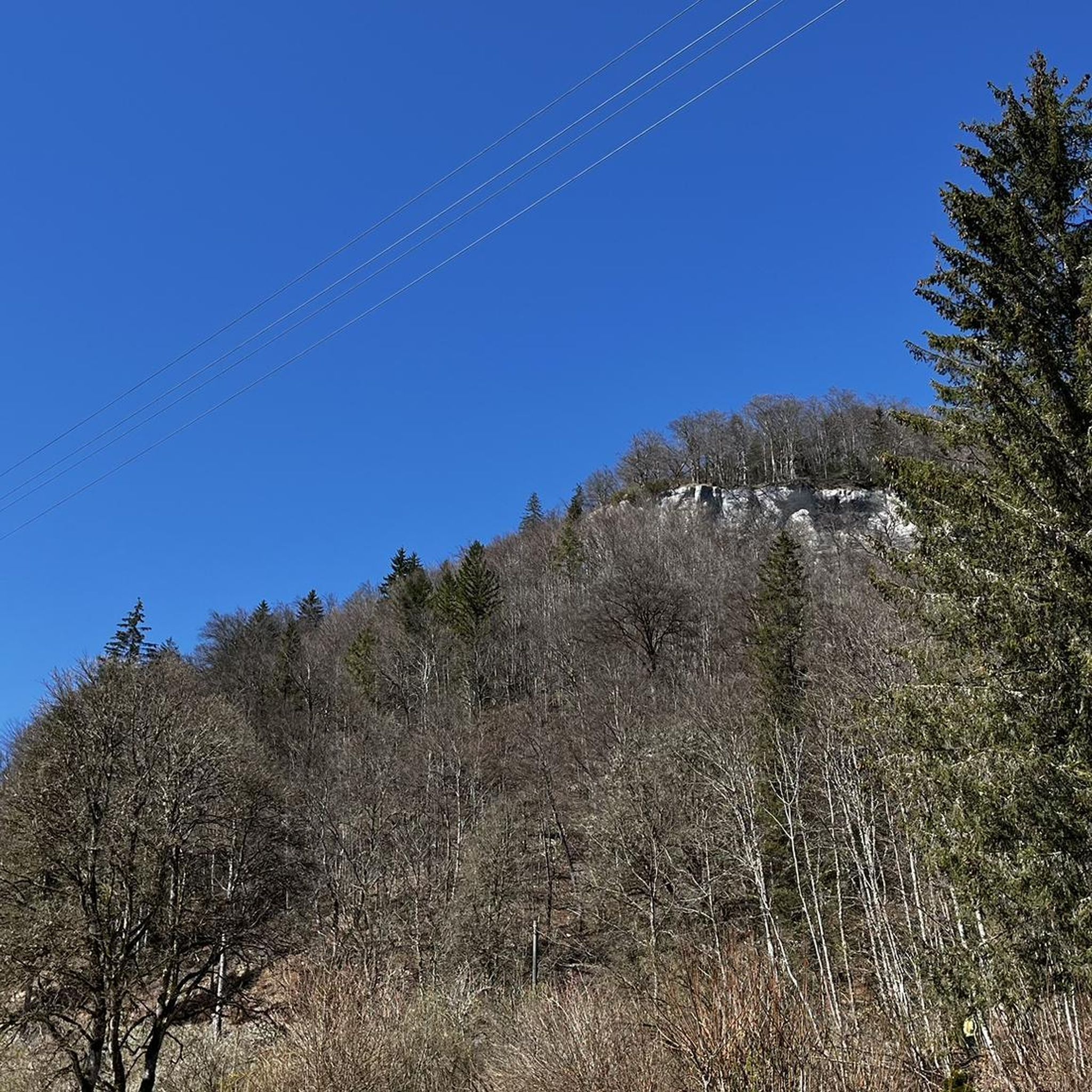
Mountain Hikes in Val D'Ozola, Monte Cusna


Tips from the Community

Ligonchio is a splendid mountain resort located at 1,000 meters above sea level in the Reggiano Apennines, today part of the scattered municipality of Ventasso in the province of Reggio Emilia. It is the highest inhabited center of the entire Reggiano ridge, nestled in the spectacular scenery of the Tuscan-Emilian Apennine National Park. Historically known as the "village of eagles" (paese delle aquile), this village boasts a strong identity linked to water and energy.
0
0
The Rocca di Minozzo is an ancient medieval fortress located in the hamlet of the same name in the municipality of Villa Minozzo (Reggio Emilia), perched on a striking volcanic cliff of basaltic ophiolite in the heart of the Reggiano Apennines. Today, its imposing perimeter ruins and the remains of the tower are still visible, historical symbols so important that they are depicted on the municipal coat of arms itself.
1
0

Minozzo, with its scenic Rocca, is a balcony towards the Apennines and towards the plain with a view also of the Pietra di Bismantova.
4
0


It can be reached both on asphalt and on a path. Always pleasant.
0
0

crossroads of paths coming from the royal fir forest on the right you go to the refuge. Battisti and Monte Cusna, continuing you arrive at the Bargetana lake and climb to Monte Prado on the left you return to the Rif. Segheria
2
0

From Piazza al Serchio you climb for 20 km with an altitude gain of 1000 m with fairly constant gradients.
0
0

Taking a lunch break at the Refuge is truly delicious and spectacular.
1
0
Frequently Asked Questions
What is the general difficulty level of touring cycling routes in Val D'Ozola, Monte Cusna?
The touring cycling routes in Val D'Ozola, Monte Cusna are predominantly challenging. Out of over 70 routes available, the vast majority are rated as difficult, with only a few moderate options. Cyclists should expect significant elevation changes, winding panoramic roads, and potentially unpaved segments that require good fitness and advanced riding skills.
Are there any circular touring cycling routes in Val D'Ozola, Monte Cusna?
Yes, many routes in the region are designed as loops, allowing you to start and finish in the same location. Examples include the challenging Villa Minozzo and Monte Cusna Loop, which offers expansive views, and the Monte Cusna Loop from Ligonchio, which takes you through dense forests.
What kind of terrain can I expect on touring cycling routes in Val D'Ozola, Monte Cusna?
You can expect a diverse terrain featuring winding panoramic roads, often showcasing rugged mountain landscapes. While many routes are on paved roads, some segments may be unpaved or gravel, requiring a touring bike capable of handling varied surfaces. The region is characterized by dramatic mountains, dense beech and fir forests, and alpine prairies.
What natural features and landmarks can I see along the touring cycling routes?
The region is rich in natural beauty and notable landmarks. You can encounter the dramatic Monte Cusna Summit, known as the 'Dead Man' due to its shape, and enjoy panoramic views from spots like the Sella delle Porraie Ridge View. The Val D'Ozola itself is characterized by extensive high-trunk beech forests and continuous water flow from numerous streams. You might also pass by the Lavacchiello Waterfall.
Are there any mountain huts or refuges along the touring cycling routes for rest or sustenance?
Yes, the area features several mountain huts and refuges that serve as excellent points for rest and refreshment. Notable ones include the Cesare Battisti Hut, often described as the 'beating heart of the Reggio Apennines,' Rifugio Adamo, and the Monte Orsaro Hut. These can be vital stops on longer tours.
What do other touring cyclists enjoy most about cycling in Val D'Ozola, Monte Cusna?
The touring cycling routes in Val D'Ozola, Monte Cusna are highly rated by the komoot community, with an average score of 4.8 stars from over 60 reviews. Cyclists frequently praise the dramatic mountain landscapes, the challenge of the routes, and the immersive experience of cycling through dense forests and along winding panoramic roads that offer expansive views.
How many touring cycling routes are available in Val D'Ozola, Monte Cusna?
There are over 70 touring cycling routes available in Val D'Ozola, Monte Cusna. This extensive network provides a wide range of options for cyclists looking to explore the Apennine landscape, though most routes are geared towards experienced riders due to their challenging nature.
Are there any shorter touring cycling routes for a quicker ride?
While most routes are longer and more challenging, there are some shorter options. For instance, the Ligonchio and Monte Cusna Loop is a difficult route that covers approximately 20.3 km (12.6 miles) and can be completed in about 1 hour 38 minutes, offering a condensed experience of the region's terrain.
What is the best time of year for touring cycling in Val D'Ozola, Monte Cusna?
The best time for touring cycling in Val D'Ozola, Monte Cusna is generally during the warmer months, from late spring through early autumn. This period offers more stable weather conditions, less chance of snow at higher elevations, and the full beauty of the region's forests and alpine prairies. Always check local weather forecasts before heading out, as mountain weather can change rapidly.
Are there any routes that pass through the historic narrow-gauge railway track in Val D'Ozola?
The Ozola valley features a unique historical attraction: a segment of an old narrow-gauge railway track. This path offers impressive drops overlooking the Ozola torrent. While specific touring cycling routes directly on this track may be limited or unpaved, the general area of Val D'Ozola will allow you to experience the natural charm of the valley and its continuous water flow from numerous streams.
What kind of elevation gain can I expect on these touring cycling routes?
Given the mountainous nature of Val D'Ozola and Monte Cusna, you can expect significant elevation gain on most touring cycling routes. For example, the Monte Cusna Loop from Ligonchio involves nearly 1945 meters (6,381 feet) of ascent, indicating that routes are designed for cyclists who are prepared for substantial climbing.
Most popular routes in Val D'Ozola, Monte Cusna
Most popular attractions in Val D'Ozola, Monte Cusna

Get inspired with the komoot mobile app


Explore more
Browse the best Cycling routes in other regions.
