The best walks and hikes in Val D'Ozola, Monte Cusna
4.5
(2978)
15,643
hikers
52
hikes
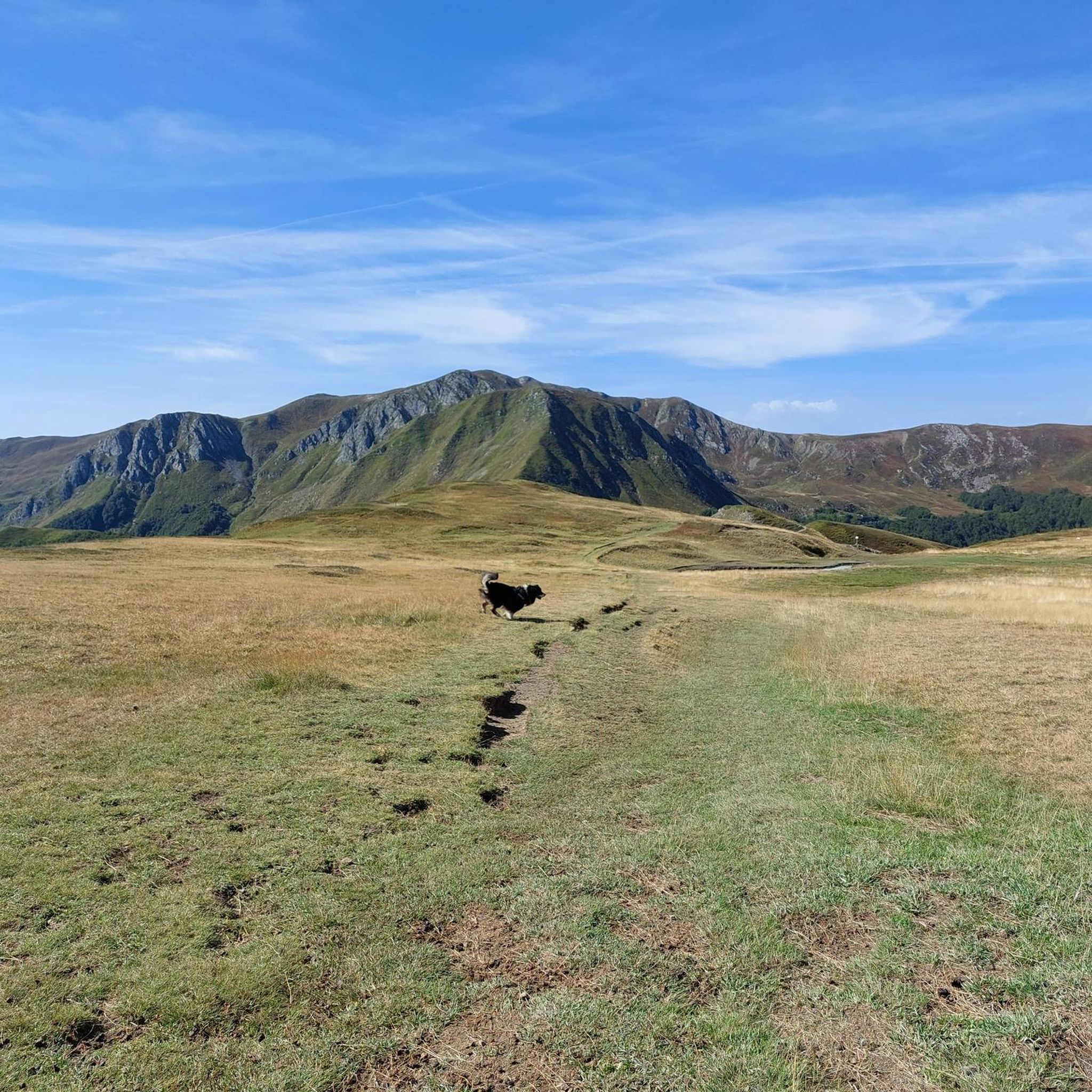
Hiking in Val D'Ozola, Monte Cusna is characterized by diverse landscapes within the Monte Cusna massif, which includes Monte Cusna, the second-highest peak in Emilia-Romagna at 2,120 meters. The region features the Ozola Valley, carved by the Ozola stream, and the Schiocchi dell'Ozola, steep sandstone cliffs. Hikers encounter dense beech forests, high-altitude meadows, and small lakes such as Lago del Capriolo and Lago della Bargetana.
Best hiking trails in Val D'Ozola, Monte Cusna
- The most popular hiking route is Monte Cusna from Rifugio Monte Orsaro – loop hike, a 6.6 miles (10.7 km) trail that takes 4 hours 26 minutes to complete. This difficult route features significant elevation gain towards the summit.
- Another top favourite among local hikers is Monte Cisa e Monte Prampa – loop from Rifugio Monte Orsano, a moderate 4.8 miles (7.7 km) path. This route offers varied scenery and takes approximately 2 hours 55 minutes.
- Local hikers also love the Monte Asinara, Le Porraie e Passo Romecchio – loop tour, a 13.0 miles (20.9 km) trail leading through diverse terrain, often completed in about 7 hours 4 minutes.
- Hiking in Val D'Ozola, Monte Cusna is defined by imposing peaks, deep valleys, and ancient beech forests. The network offers options for various ability levels, from moderate paths to challenging summit ascents.
- The routes in Val D'Ozola, Monte Cusna are highly rated by the komoot community with an average score of 4.6 stars from more than 400 reviews. More than 2500 hikers have used komoot to explore Val D'Ozola, Monte Cusna's varied terrain.
Last updated: August 31, 2026
4.7
(109)
479
hikers
10.7km
04:26
810m
820m
Embark on the challenging Monte Cusna from Rifugio Monte Orsaro loop hike, a difficult route that takes you through diverse terrain in the Tuscan-Emilian Apennines. As you ascend, the majestic Monte Cusna, often called the "Sleeping Man" due to its profile, remains a constant visual anchor. This trail covers 6.7 miles (10.7 km) with a significant elevation gain of 2655 feet (809 metres), typically requiring around 4 hours and 25 minutes to complete. You will experience a mix of natural, unpaved mountain paths and exposed alpine sections, demanding good physical fitness and sure-footedness.
Starting from Rifugio Monte Orsaro, which is easily accessible by car, this loop offers a true alpine hiking experience. Be prepared for varied conditions, including rocky areas and steep climbs, especially on the descent. Some parts of the trail, like the northern ridge (sentiero 625) or the direct ascent via path 607, are highly technical and recommended for experienced hikers. Always ensure you have sturdy shoes and prior alpine experience before setting out on this demanding route.
Monte Cusna is the highest peak in the Reggiano Apennines, making its summit a significant achievement. From the top, you can enjoy a splendid 360-degree panorama that, on clear days, extends all the way to the Alps and includes the Apuan Alps. The hike is situated within the beautiful Tuscan-Emilian Apennines National Park, an area known for its ancient beech forests and natural attractions. The summit itself is marked by a metallic cross and a statue of the Madonna, providing a focal point for your efforts.
4.5
(19)
71
hikers
7.69km
02:56
520m
520m
Embark on a moderately challenging hike through the Tuscan-Emilian Apennines on the Monte Cisa e Monte Prampa loop. This 4.8-mile (7.7 km) route features a significant 1706 feet (520 metres) of elevation gain, taking you through magnificent chestnut groves, beech forests, and over open grassy ridges. From the summits of Monte Cisa and Monte Prampa, you will enjoy expansive panoramic views, with the prominent Monte Cusna often visible in the distance.
Plan for approximately 2 hours and 55 minutes to complete this loop, which starts and ends conveniently at Rifugio Monte Orsano. The trail generally follows well-marked CAI paths, making navigation straightforward. While accessible, some sections, particularly the ascent to Monte Cisa from Passo della Cisa, are steep and best attempted in dry conditions. In winter, snow and ice can increase the difficulty, potentially requiring snowshoes or crampons.
This area is known for its diverse terrain and geological features, offering a distinct experience in every season. The summit of Monte Prampa holds a small menhir and a niche with a Madonna statue, adding a unique touch to the natural beauty. The trail's primary draw remains the stunning, extensive panoramas you will encounter, showcasing the high valleys of Ozola, Secchia, Secchiello, and Dolo.

Sign up for free
4.8
(9)
33
hikers
12.0km
04:29
780m
780m
Embark on the Monte Bagioletto from Ligonchio loop tour, a moderate hiking route spanning 7.4 miles (12.0 km). You will gain 2557 feet (779 metres) in elevation, with an estimated duration of 4 hours and 29 minutes. This trail guides you through varied landscapes, from peaceful beech woods to expansive open meadows, following ancient paths. A key highlight is reaching the summit of Monte Bagioletto, where you can enjoy wide panoramic views of the Apennine arch and the Po Valley. You will also encounter the beautiful Lavacchiello Waterfall and the high-altitude Prati di Sara, home to the scenic Lago del Caricatore. The route offers a rewarding experience for hikers in the Appennino Tosco-Emiliano National Park.
This moderate hike requires a good level of training and sure footing. Make sure you are equipped with appropriate mountain footwear for the varied terrain. Parking is generally available near the starting point in Casalino, which is part of Ligonchio. Plan your visit to allow ample time to complete the route comfortably before dusk, especially given its duration and elevation gain.
The trail is notable for its diverse natural environment, showcasing both dense woodlands and open alpine meadows. It provides a unique opportunity to explore the geological features of the Apennines and observe the local ecosystem. The path connects several natural landmarks, making it a comprehensive journey through the region's beauty. This loop offers a distinct perspective on the Appennino Tosco-Emiliano National Park, combining natural beauty with a satisfying physical challenge.
4.8
(14)
59
hikers
9.04km
04:07
910m
910m
Classic summit trail to Emilia Romagna's highest peak with marmots and views to Corsica.
4.9
(13)
55
hikers
20.9km
07:04
940m
940m
Hard hike. Very good fitness required. Mostly accessible paths. Sure-footedness required.
Get access to more routes and recommendations from other explorers.
Sign up for free
Already have an account?
Our route recommendations are based on thousands of hikes, rides, and runs completed by other people on komoot.
Start today with a free account
Your next adventure awaits.
Login or Signup
Popular around Val D'Ozola, Monte Cusna

Berceto to Abetone – Alta Via dei Parchi (part 1)
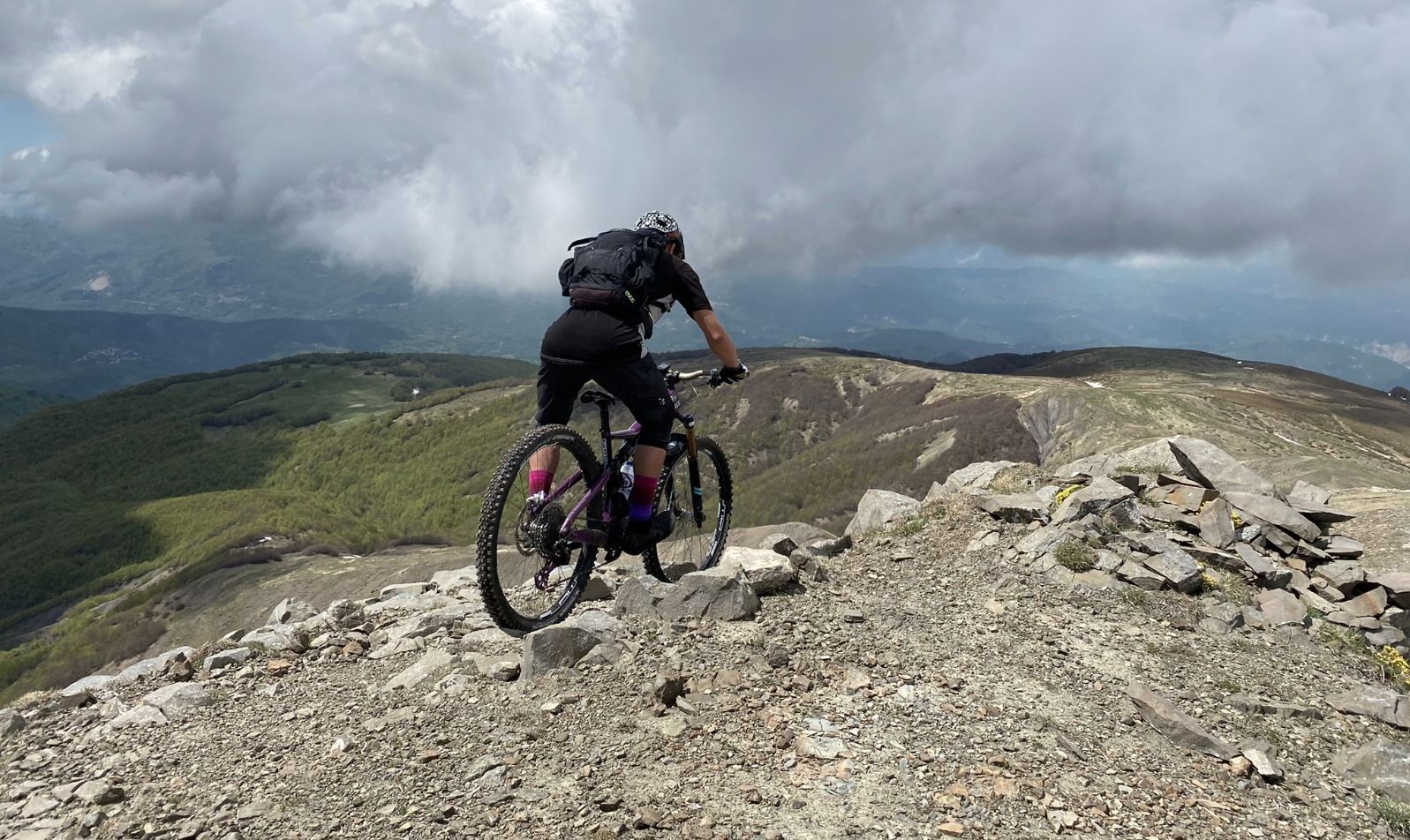
On the Giant's summits — Italy's Mount Cusna by mountain bike
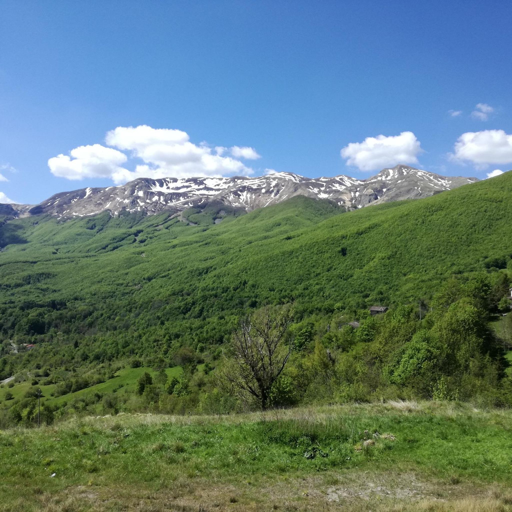
Road Cycling Routes in Val D'Ozola, Monte Cusna
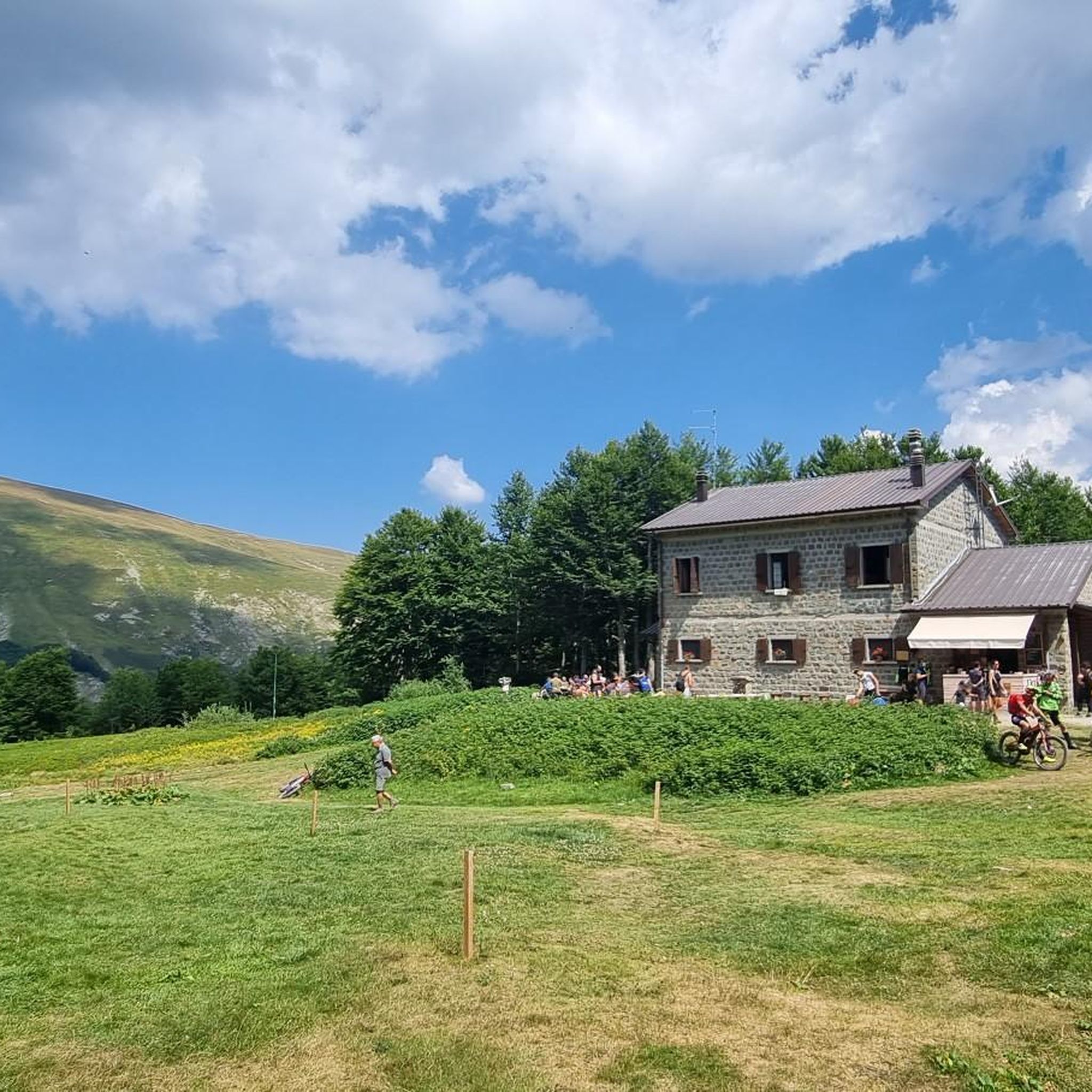
Cycling in Val D'Ozola, Monte Cusna
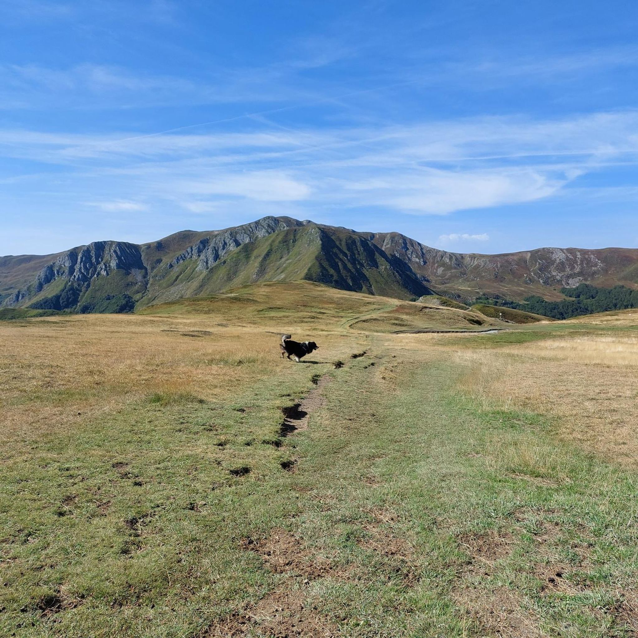
MTB Trails in Val D'Ozola, Monte Cusna
Running Trails in Val D'Ozola, Monte Cusna

Gravel biking in Val D'Ozola, Monte Cusna
Mountain Hikes in Val D'Ozola, Monte Cusna


Tips from the Community

There isn't much to say about Sui Prati di Sara other than that they must be seen! A beautiful high-altitude meadow with a view of Monte Cusna is one of the most evocative destinations in the area.
0
0

Nice ride. The initial track took me to a path no longer passable near Santonio.
1
0

Mount Cusna is a very beautiful mountain. Exceptional panorama from which you can admire the Apuan Alps
2
0
Sara's Meadows are beautiful. Wonderful
1
0
Be careful ⚠️ ascent or descent for experts only
1
0

What is the least difficult climb to reach the summit? Starting from the Reggiano, Febbio or Rifugio Monte Orsaro side (for example)?
1
0

In autumn the vaccine is beautiful.
0
0

In the Ozola valley, near the Lavacchiello canal, a series of waterfalls (particularly suggestive during the melting of the snow) create a pool a couple of meters wide.
1
0
Frequently Asked Questions
What kind of hiking trails can I expect in Val D'Ozola, Monte Cusna?
Val D'Ozola, Monte Cusna offers a diverse range of hiking trails, from accessible paths to challenging multi-day treks. You'll find paths winding through dense, high-trunk beech forests, leading to vast high-altitude meadows and heathlands, and ascending rocky inclusions, scree, and cliffs. The region is dominated by the imposing Monte Cusna, the second-highest peak in Emilia-Romagna, and features the beautiful Ozola Valley carved by the Ozola stream.
How many hiking routes are available in Val D'Ozola, Monte Cusna?
There are over 50 hiking routes available in Val D'Ozola, Monte Cusna. These include 6 easy trails, 21 moderate trails, and 23 difficult trails, catering to various fitness levels and preferences.
Are there any circular hiking routes in Val D'Ozola, Monte Cusna?
Yes, Val D'Ozola, Monte Cusna features several circular hiking routes. A popular option is the Monte Cusna Loop Trail, which is a moderate 12.0 km route. Another is the Monte Cusna from Rifugio Monte Orsaro – loop hike, a more difficult 10.7 km trail.
What natural landmarks or attractions can I see while hiking in Val D'Ozola, Monte Cusna?
The region is rich in natural attractions. You can discover numerous waterfalls, including the eye-catching Lavacchiello Waterfall. Other notable features include the impressive Schiocchi dell'Ozola (steep sandstone cliffs), and picturesque lakes such as Lago del Capriolo and Lago della Bargetana. The Monte Cusna Summit itself offers expansive views, and the Sella delle Porraie Ridge View provides stunning panoramas.
Are there any trails suitable for beginners in Val D'Ozola, Monte Cusna?
Yes, there are 6 easy trails available in Val D'Ozola, Monte Cusna, perfect for beginners or those looking for a less strenuous walk. These routes often lead through ancient beech forests or along serene streams, offering a gentle introduction to the region's natural beauty.
What is the best time of year to go hiking in Val D'Ozola, Monte Cusna?
The best time to hike in Val D'Ozola, Monte Cusna is typically from late spring through early autumn (May to October). During these months, the weather is generally milder, and the high-altitude meadows are vibrant. Winter hiking is possible but requires specific gear and experience due to snow and potentially harsh conditions, especially on higher peaks like Monte Cusna.
What do other hikers enjoy most about Val D'Ozola, Monte Cusna?
The area is highly rated by the komoot community, with an average score of 4.6 stars from over 400 reviews. Hikers often praise the region's diverse landscapes, from dense beech forests to high-altitude meadows, and the challenging yet rewarding summit ascents. The well-marked trails and stunning natural features like waterfalls and lakes are also frequently highlighted.
Are there any trails that offer panoramic views?
Absolutely. Many trails in Val D'Ozola, Monte Cusna offer breathtaking panoramic views, especially those that ascend to higher elevations. The Monte Cusna Summit provides expansive vistas across the Apennines. The Sella delle Porraie Ridge View is another excellent spot for panoramic scenery.
Can I find mountain huts or refuges along the trails?
Yes, the region has mountain huts that provide essential resting points and amenities for trekkers. For instance, Rifugio Bargetana is a known hut in the area, offering a place to rest during longer treks.
What kind of wildlife and plant life can I observe in Val D'Ozola, Monte Cusna?
Val D'Ozola, Monte Cusna is a Natura 2000 site, indicating its rich biodiversity. You might spot notable plant species like Primula apennina. The fauna is equally diverse, with sightings of birds such as Dotterel and Collared Flycatcher during migration, and nesting species like Scops Owl and Wheatear. Amphibians like the fire salamander and alpine newt, along with reptiles such as the Aesculapian snake, can also be found.
Are there any trails that lead to lakes?
Yes, the region features small, picturesque lakes that can be reached via hiking trails. Notable examples include Lago del Capriolo in Val d'Ozola and Lago della Bargetana, which is nestled in a glacial cirque beneath Monte Prado.
Most popular routes in Val D'Ozola, Monte Cusna
Most popular attractions in Val D'Ozola, Monte Cusna

Get inspired with the komoot mobile app


Explore more
Browse the best Hikes in other regions.
