The best cycling routes in Monte Gottero - Passo Del Lupo
4.8
(37)
368
riders
40
rides
Touring cycling in Monte Gottero - Passo Del Lupo features a diverse topography, including the summit of Monte Gottero (1639 meters), Passo del Lupo (1252 meters), and Foce dei Tre Confini (1410 meters). The landscape transitions from high-altitude pastures to mixed and extensive beech forests, with geological formations of "Arenarie del Gottero" flysch. Routes often traverse challenging ascents through forested paths, opening to open ridges and valleys, providing varied terrain for touring cyclists.
Best touring cycling routes in Monte Gottero…
Last updated: July 13, 2026
5.0
(3)
16
riders
56.0km
03:54
1,060m
1,060m
Hard bike ride. Very good fitness required. Mostly paved surfaces. Suitable for all skill levels.
7
riders
Hard bike ride. Very good fitness required. You may need to push your bike for some segments of this route.

Sign up for free
4.0
(3)
7
riders
31.6km
02:19
700m
700m
Hard bike ride. Very good fitness required. Mostly paved surfaces. Suitable for all skill levels.
4.0
(1)
6
riders
23.8km
01:55
710m
710m
Hard bike ride. Very good fitness required. Mostly paved surfaces. Suitable for all skill levels.
23
riders
40.5km
03:09
1,040m
1,040m
Hard bike ride. Very good fitness required. Mostly paved surfaces. Suitable for all skill levels.
Get access to more routes and recommendations from other explorers.
Sign up for free
Already have an account?
Our route recommendations are based on thousands of hikes, rides, and runs completed by other people on komoot.
Start today with a free account
Your next adventure awaits.
Login or Signup
Tips from the Community

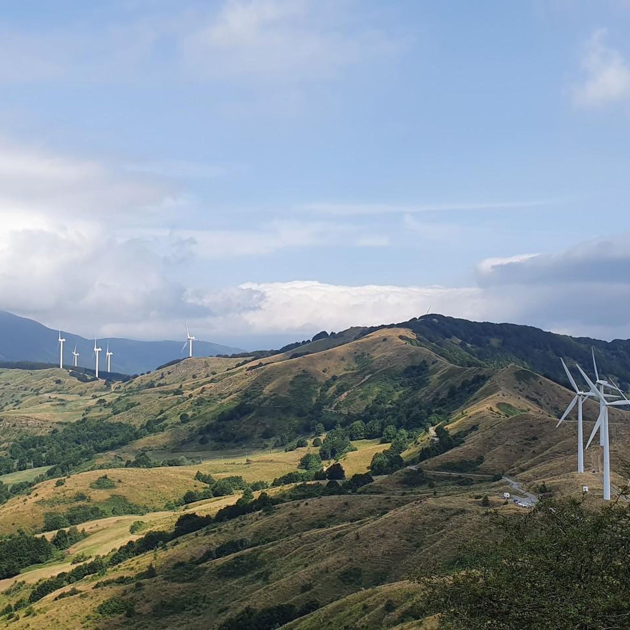
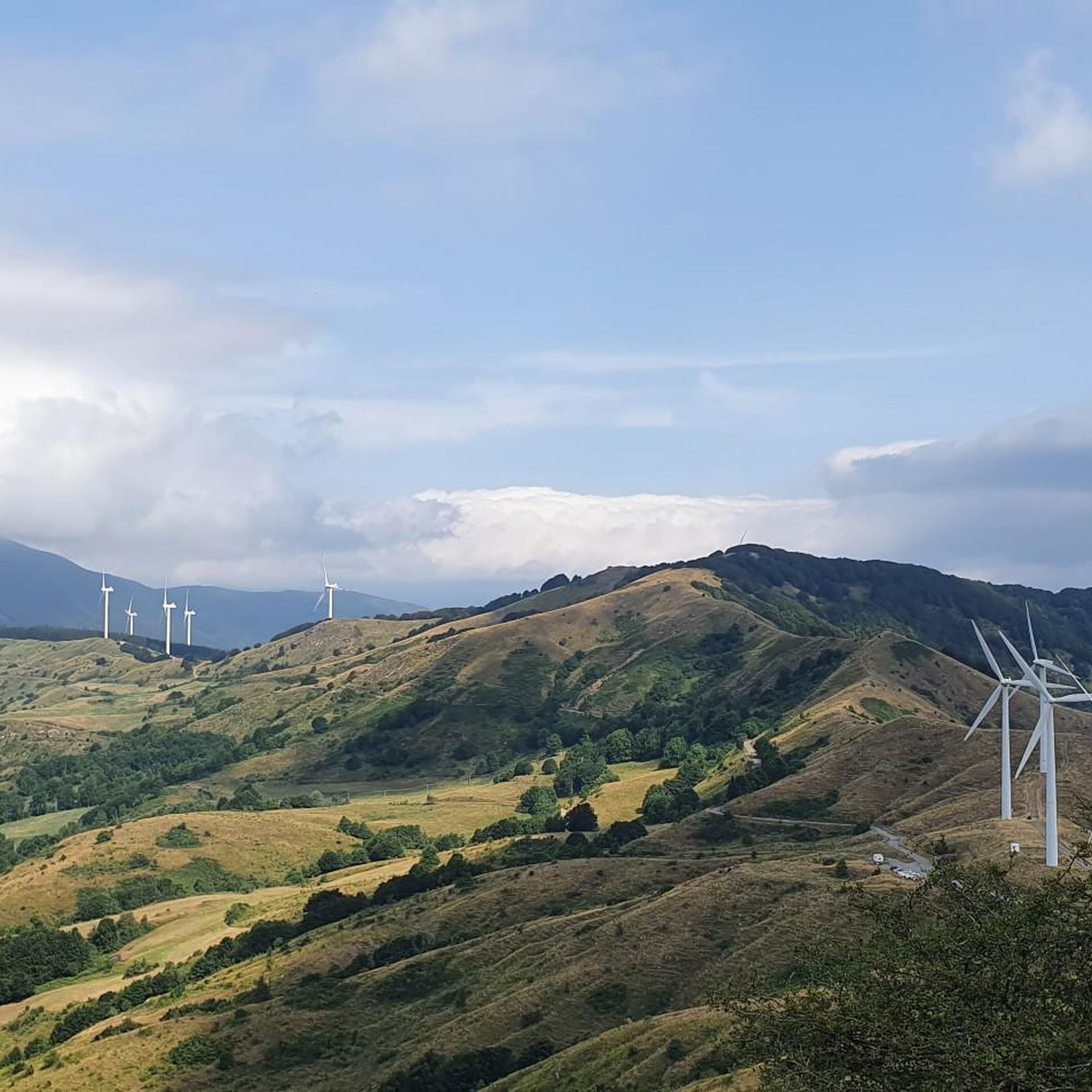
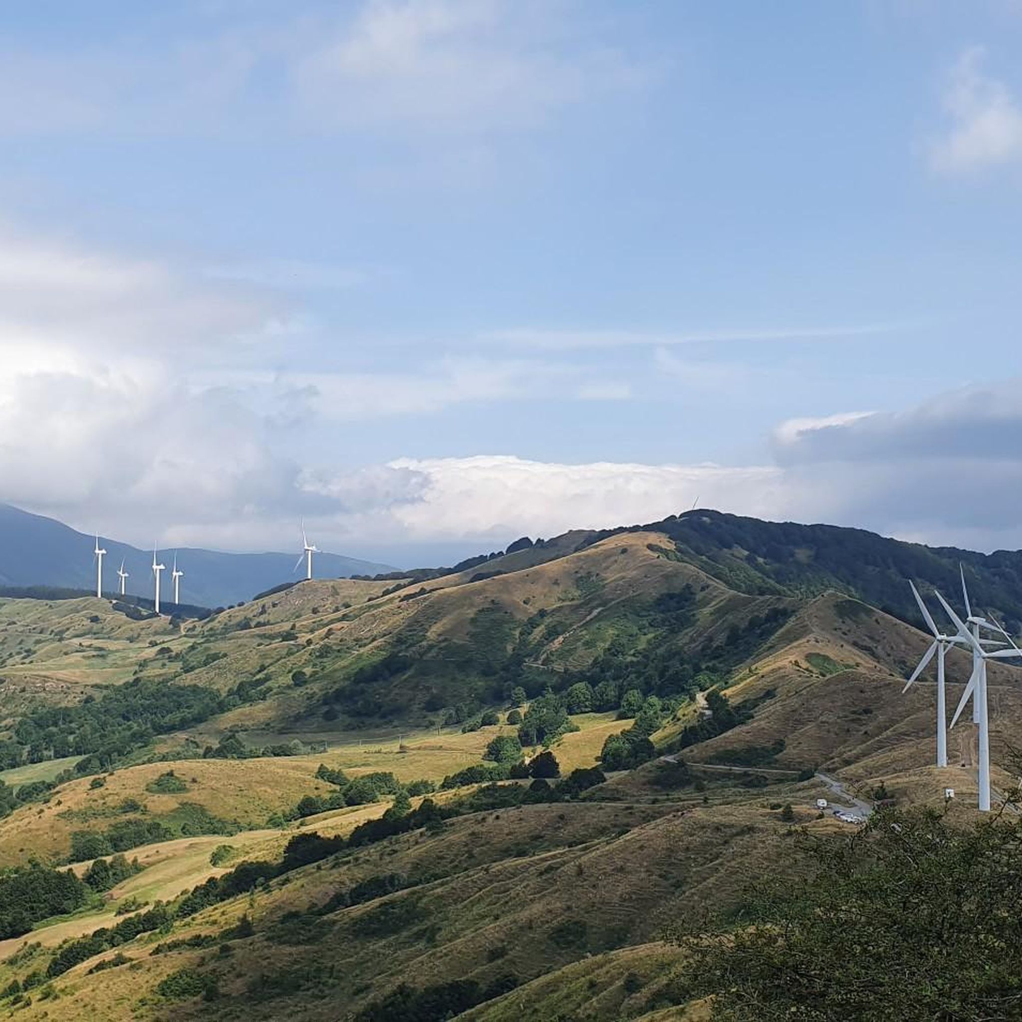
The Passo della Cappelletta (1,085 m a.s.l.) is a charming Apennine pass located on the border between Emilia-Romagna (province of Parma/Piacenza) and Liguria. It is famous for its imposing wind turbines and its proximity to Monte Gottero.
0
0

The Pianpintardo Pass is located at 1120 meters on the ridge that separates the Vara Valley from the Taro Valley.
0
0

small village but very suggestive and picturesque to pass by bicycle
0
0

Village historically linked to the tradition of transhumance The ancient village of Noce is one of the first villages you encounter when entering the Zeri Valleys. In ancient times, the village of Noce was completely rural, historically linked to the work of shepherds and with them to the beautiful tradition of transhumance towards the town of Formentara. This took place through the ancient road called "Trianara", recently restored. During the Second World War, the village of Noce suffered a terrible roundup, during which almost the entire village was burned down. Today, the current village is very different from the original, which in ancient times was built almost entirely of stone arches and vaults.
0
0
The Ponte della Cresa is a stone bridge built in the 14th century and despite the frequent flooding of the Verde river, it has maintained its original structure to this day. The bridge connects the new neighborhoods with the historic center. The bridge is located along the Verde river near Porta San Francesco. Under the arch of this bridge, on January 31, the characteristic fire of San Geminiano takes place. The Ponte della Cresa is considered by many to be the true symbol of the city of Pontremoli. It is also interesting to note that the name Pontremoli derives from the Latin 'Pons Tremulus', which means 'unsafe bridge'. This was a term used to describe the original conurbation of the city.
0
0
Entrance to Pontremoli from Porta San Francesco
0
0

Beautiful path along the river to enjoy nature and relax
0
0
Arriving from Segno on the bridge that crosses the Vara river, an enchanting view opens up over the village of San Pietro Vara. In front, stands the Church of San Pietro, the oldest in the valley, which houses works of art from the sixteenth century. Next to it, the Oratory of Nostra Signora della Spianata. The view from the bridge also includes the surrounding valley floor, with its cultivated fields and the green hills that frame the village.
0
0
Frequently Asked Questions
How many touring cycling routes are available in Monte Gottero - Passo Del Lupo?
There are over 40 touring cycling routes available in Monte Gottero - Passo Del Lupo, offering a wide range of experiences for cyclists. These routes traverse diverse terrain, from high-altitude pastures to extensive beech forests.
What is the general difficulty level of touring cycling routes in Monte Gottero - Passo Del Lupo?
The majority of touring cycling routes in Monte Gottero - Passo Del Lupo are classified as difficult, with 33 out of 41 routes falling into this category. There are also 8 moderate routes. Cyclists should expect challenging ascents and varied terrain, often requiring good fitness.
Are there any family-friendly touring cycling routes in the Monte Gottero - Passo Del Lupo area?
While many routes in Monte Gottero - Passo Del Lupo feature challenging ascents and are rated difficult, some sections through forested areas or along wider mule tracks might be suitable for families with older, experienced children. However, there are no routes specifically classified as easy, so careful planning and assessment of the route's profile are recommended.
What are some notable landmarks or viewpoints I can expect to see along the touring cycling routes?
The region offers several significant landmarks and breathtaking viewpoints. You can visit the Monte Gottero Summit for expansive 360-degree panoramic views. Another historically significant point is the Three Borders Marker, which marks the border triangle between Emilia Romagna, Liguria, and Tuscany. You might also encounter the Annibale Taddei Memorial Cross or the Term - Boundary stone, adding historical context to your ride.
Are there any circular touring cycling routes in Monte Gottero - Passo Del Lupo?
Yes, many routes in the area are circular. For example, the Pianpintardo Pass – Cento Croci Pass loop from Albareto is a popular difficult route covering 31.3 km. Another option is the Gravel Road Towards Albareto loop from Albareto, a 32.0 km difficult path featuring diverse landscapes.
What is the best season for touring cycling in Monte Gottero - Passo Del Lupo?
The best season for touring cycling in Monte Gottero - Passo Del Lupo is generally from late spring to early autumn. During these months, the weather is more stable, and the high-altitude pastures and forested paths are most accessible. The panoramic views are particularly stunning on clear days, extending to the Tuscan coast and even Corsica.
What kind of terrain can I expect on the touring cycling routes?
The terrain in Monte Gottero - Passo Del Lupo is highly varied. You'll encounter challenging ascents through dense beech forests, open ridges with expansive views, and valleys like Val di Vara. Some routes feature gravel sections, while others follow wide mule tracks. The geology is marked by "Arenarie del Gottero" flysch, consisting of sandstone, argillite, and siltstone, adding to the unique landscape.
Is public transport available to access the touring cycling routes in Monte Gottero - Passo Del Lupo?
While the region is known for its natural beauty, public transport options directly to the trailheads in Monte Gottero - Passo Del Lupo can be limited. It's advisable to research local bus services or consider driving to a starting point, especially for routes that begin in more remote areas or smaller villages like Albareto or Zeri.
Where can I find parking for touring cycling routes in Monte Gottero - Passo Del Lupo?
Parking is generally available in the villages and towns that serve as starting points for the routes, such as Albareto or Zeri. For routes that venture into more remote areas, look for designated parking spots near trailheads or inquire locally about suitable places to leave your vehicle. Always ensure you park responsibly and do not obstruct local access.
What kind of wildlife might I encounter while cycling in Monte Gottero - Passo Del Lupo?
The region is rich in biodiversity. You might spot wolves (Canis lupus), golden eagles (Aquila chrysaetos), yellow-bellied toads (Bombina pachypachus), and stag beetles (Lucanus cervus). The area is also home to numerous endemic invertebrates. Cyclists should remain aware of their surroundings and respect the natural habitat of these animals.
Are there any cafes or refreshment stops along the touring cycling routes?
While the routes often traverse natural and sometimes remote areas, you may find cafes or small eateries in the villages and towns near the starting or ending points of the tours, such as Albareto or Pontremoli. It's always a good idea to carry sufficient water and snacks, especially on longer routes, as amenities can be sparse between settlements.
What do other touring cyclists enjoy most about touring cycling in Monte Gottero - Passo Del Lupo?
The area is highly rated by the komoot community, with an average score of 4.7 stars from over 30 reviews. Reviewers often praise the diverse and striking landscapes, the challenging ascents that lead to rewarding panoramic views, and the opportunity to explore significant natural and historical features like the Monte Gottero Summit and the Three Borders Marker.
Can you recommend a challenging long-distance touring cycling route in the area?
For a challenging long-distance experience, consider the Passo di Cento Croci (1,055 m) – Cento Croci Pass loop from Prate di là. This difficult route spans 98.2 km with over 2100 meters of elevation gain, typically taking over 7 hours to complete, offering an immersive journey through the region's varied terrain.
Most popular routes in Monte Gottero - Passo Del Lupo
Most popular attractions in Monte Gottero - Passo Del Lupo

Get inspired with the komoot mobile app


Explore more
Browse the best Cycling routes in other regions.
