The best running trails in Parco Regionale Dell'Aveto
4.9
(10)
487
runners
31
runs
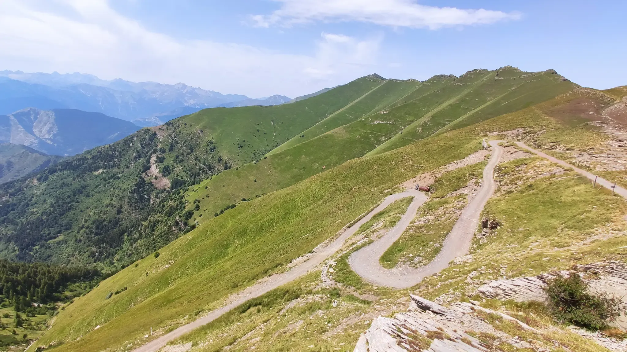
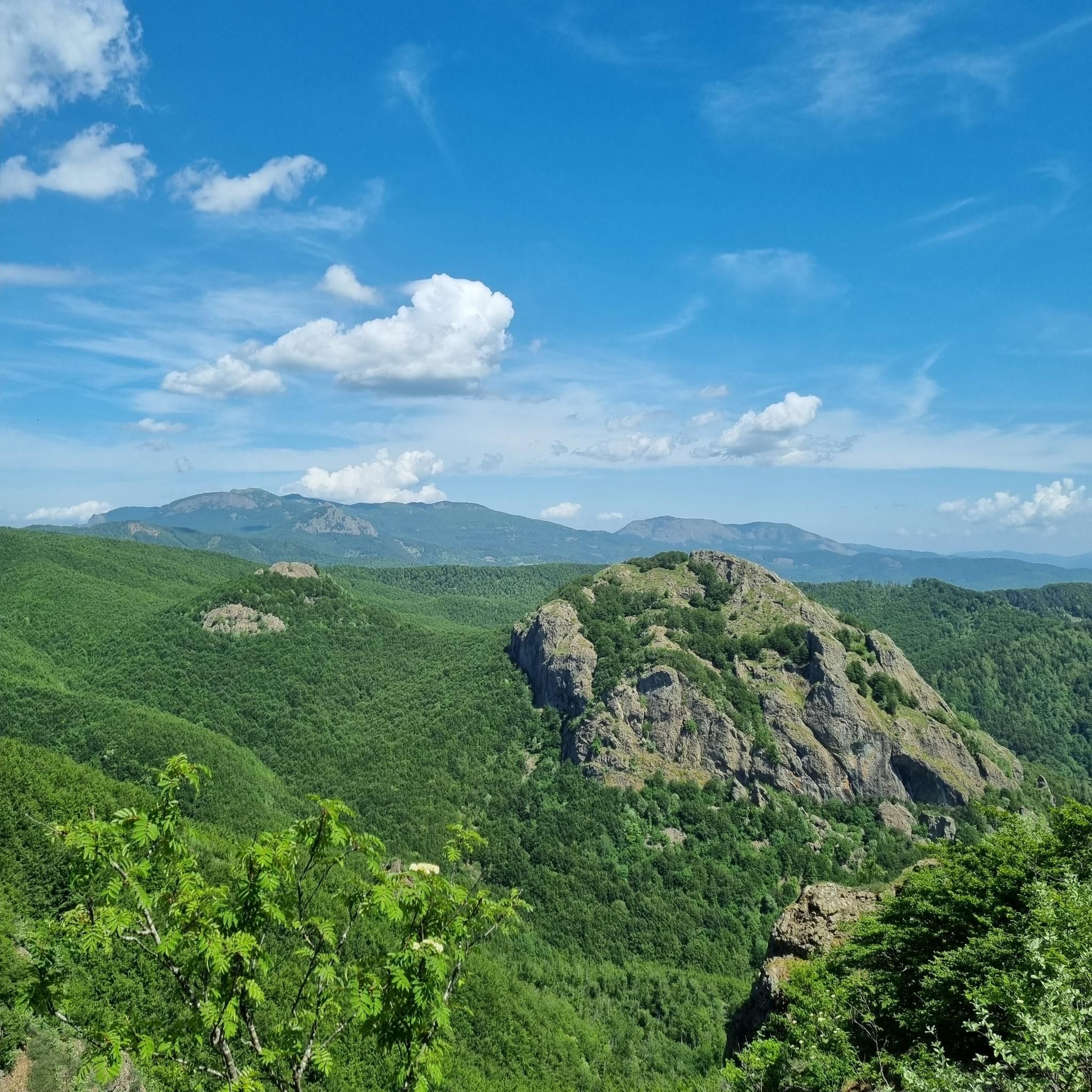
Jogging in Parco Regionale Dell'Aveto offers diverse landscapes across the Ligurian Apennines. The park features high-mountain scenery with extensive grazing lands and large beech tree woods in the Aveto Valley. The Sturla Valley provides paths through meadows, chestnut forests, and olive groves, alongside the Giacopiane Dam and Lake. The Graveglia Valley offers a rural setting with olive groves and vineyards, while notable natural features include the Lame Lakes and unique ophiolite rock formations.
Best jogging routes in Parco Regionale Dell'Aveto
…Last updated: June 29, 2026
12
runners
50.8km
07:50
2,310m
2,310m
Hard run. Very good fitness required. Sure-footedness, sturdy shoes and alpine experience required.
8
runners
27.6km
03:38
870m
860m
Hard run. Very good fitness required. Sure-footedness, sturdy shoes and alpine experience required.

Sign up for free
3.64km
00:42
240m
240m
This difficult ring run takes you from Passo dell'Incisa to Monte Penna, covering 2.3 miles (3.6 km) with a significant 781 feet (238 metres) of elevation gain, typically taking about…
10
runners
17.2km
02:24
540m
540m
Hard run. Very good fitness required. Sure-footedness, sturdy shoes and alpine experience required.
8
runners
5.33km
00:40
180m
180m
Hard run. Good fitness required. Sure-footedness, sturdy shoes and alpine experience required.
Get access to more routes and recommendations from other explorers.
Sign up for free
Already have an account?
Our route recommendations are based on thousands of hikes, rides, and runs completed by other people on komoot.
Start today with a free account
Your next adventure awaits.
Login or Signup
Other adventures in Parco Regionale Dell'Aveto

Tips from the Community

It is easily well marked along the forest road.
0
0
Beautiful hiking structure located at 1,400 meters, surrounded by beech trees and positioned on the border with the municipalities of Bedonia and Tornolo for the province of Parma, and Santo Stefano d'Aveto for the metropolitan city of Genoa. Too bad it is never open despite the structure being recent and in good condition.
0
0
Beautiful pass of the Ligurian Apennines located at 1,468 meters. Strategic point that offers various alternatives to start a walk or a long hike.
0
0
Pass of the Ligurian Apennines located at an altitude of 1,452 m, it is reachable by car and is a crossroads where various hiking trails branch off.
0
0
Born from the recovery of old barracks, it is a beautiful refuge where you can both eat and stay overnight. The location is stunning and makes it a must-stop when visiting these areas.
0
0

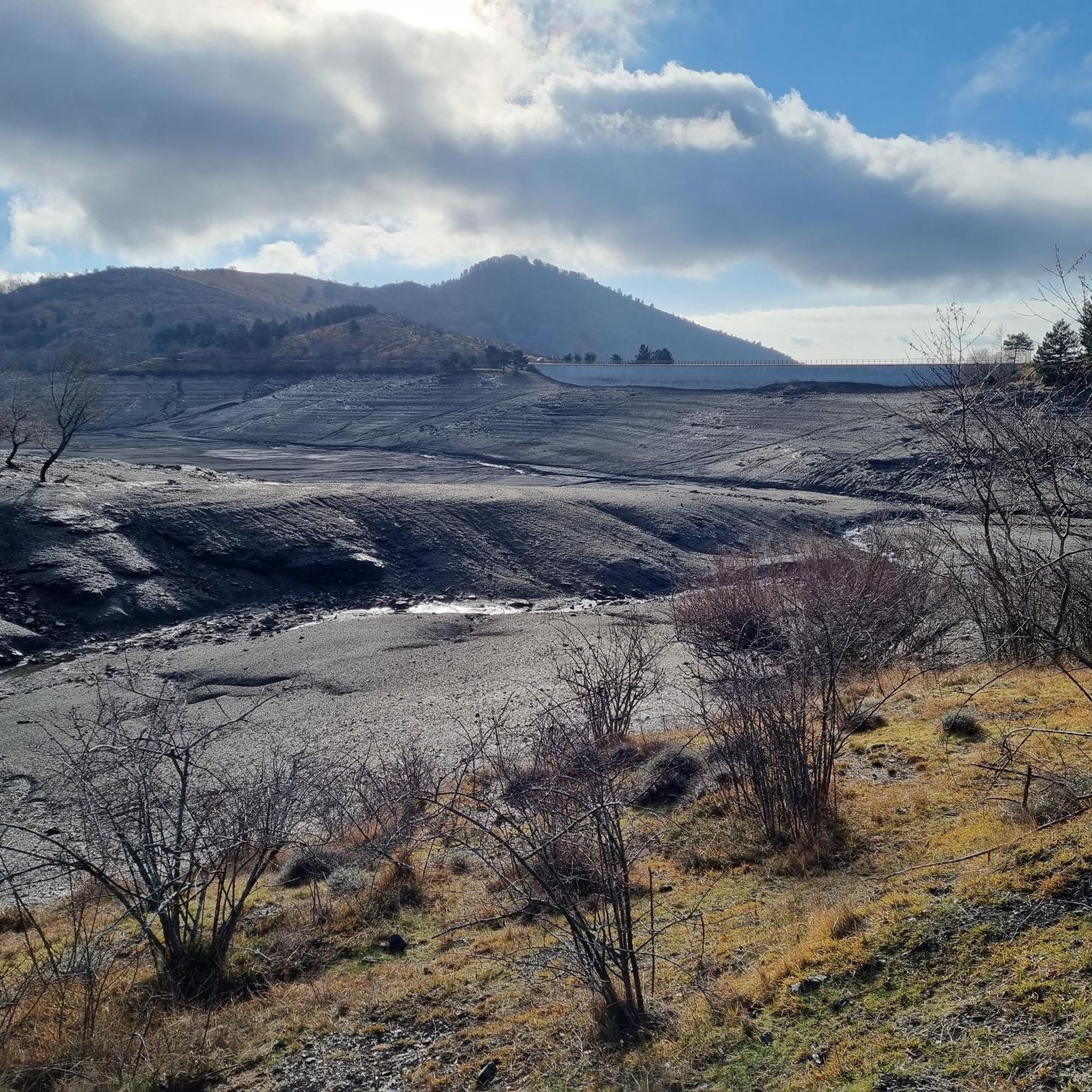
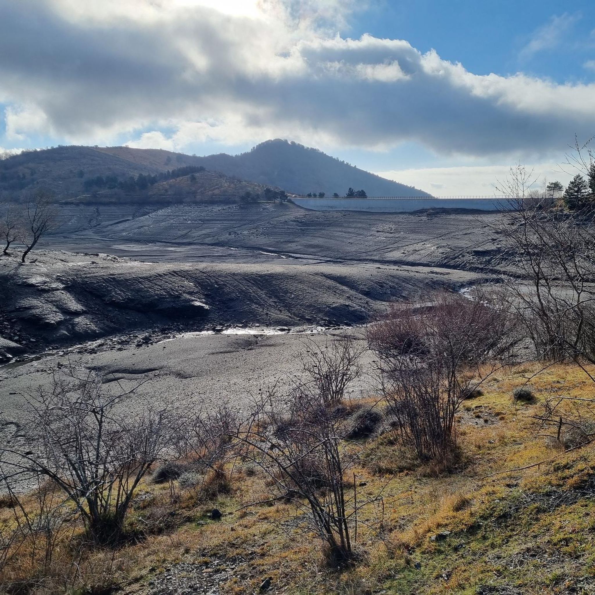
The Lago di Giacopiane is a charming artificial basin located at 1,015 meters above sea level in the municipality of Borzonasca, within the Aveto Regional Natural Park in Liguria. Built in the 1920s for hydroelectric purposes, the reservoir is famous for being surrounded by dense woods and for hosting herds of wild Aveto horses that graze freely along its shores.
1
0


Pria Burgheisa (Pietra Borghese) is a massive outcrop of mantle peridotites, among the best-known and most significant in the area. It lies on the southwestern edge of the Prato Mollo plateau, on the southern slopes of Mount Aiona, at an altitude of 1,465 m. It is a geosite of considerable petrographic, mineralogical, and regional geological interest, allowing us to study the evolution of a portion of the lithospheric mantle subsequently involved in the Apennine orogeny. The outcrop has a highly irregular shape: 30 m long, 10 m wide at its maximum, and 7–8 m high. The rocks are dark in color, ranging from blackish to brownish; the mass is affected by three main fracture systems, more or less orthogonal to each other, which fragment it into numerous square-shaped blocks. The surface of the blocks has a pitted appearance, as the pyroxene crystals, more resistant to erosion than olivine, remain prominent. At the outcrop, mantle foliation is evident, due to the presence of frequent pyroxenite bands. Source: Liguria Geosite Registry.
0
0
Frequently Asked Questions
How many running routes can I find in Parco Regionale Dell'Aveto?
Parco Regionale Dell'Aveto offers a diverse network of 36 running routes. These include 2 easy trails, 5 moderate options, and 29 more challenging routes, catering to various fitness levels and preferences.
Are there any easy or family-friendly jogging trails in the park?
Yes, while many routes are challenging, there are options suitable for easier runs and families. For instance, the Lago di Giacopiane loop from Borzonasca is an easy 4.0 km trail that takes about 28 minutes to complete, offering pleasant lake surroundings. The park's varied terrain, from meadows to chestnut woods, provides gentle sections ideal for a relaxed pace.
What kind of scenery can I expect on the running routes in Parco Regionale Dell'Aveto?
The park boasts incredibly diverse scenery. You'll encounter high-mountain landscapes with extensive grazing lands and vast beech forests in the Aveto Valley, transitioning to meadows and chestnut woods in the Sturla Valley. The Graveglia Valley offers a rural setting with olive groves and vineyards. Expect stunning views of peaks like Monte Penna and Monte Aiona, serene lakes such as Lago di Giacopiane, and unique geological formations.
Are there any circular running routes in Parco Regionale Dell'Aveto?
Yes, many of the park's trails are designed as loops, perfect for a continuous running experience. Examples include the Pietra Borghese – Lakes of Agoraie loop from Temossi, which explores the beautiful Agoraie lakes, and the Monte Zatta di Levante – Monte Zatta di Ponente loop from Passo del Bocco, offering mountain views.
What are some notable natural attractions or landmarks I might see while jogging?
The park is rich in natural beauty. You might pass by the unique ophiolite rock formations on peaks like Monte Penna, or the crucial wet habitats of the Lame lakes. Keep an eye out for the impressive rock waterfall near Lago delle Lame or the accessible Ravezza waterfall. Highlights such as Pietra Borghese and the Giacopiane Dam and Lake are also along various routes.
Is Parco Regionale Dell'Aveto suitable for dog-friendly running?
The park's extensive trail system and natural environment make it generally suitable for running with dogs. However, it's always recommended to keep your dog on a leash, especially in areas with wildlife or grazing animals, and to check specific trail regulations before you go. The varied terrain offers plenty of space for both you and your canine companion to enjoy.
When is the best time of year to go jogging in Parco Regionale Dell'Aveto?
The park is enjoyable year-round, but each season offers a unique experience. Summer provides a cooler escape from the heat, making it ideal for longer runs. Autumn transforms the park with vibrant foliage, creating a stunning backdrop for outdoor exercise. Spring brings fresh greenery and blooming flora, while winter offers a serene, snow-covered landscape for those prepared for colder conditions.
Are there opportunities for wildlife spotting during a run?
Absolutely. Parco Regionale Dell'Aveto is known for its rich biodiversity. A unique feature is the presence of wild horses, which you might spot in their natural habitat. The diverse ecosystems, from high-mountain areas to forests and wetlands, also support a variety of other wildlife, offering a chance for observation during your run.
What do other runners say about the trails in Parco Regionale Dell'Aveto?
The running routes in Parco Regionale Dell'Aveto are highly rated by the komoot community, with an average score of 5.0 stars from over 3 reviews. Runners often praise the diverse terrain, from challenging mountain ascents to serene lake loops, and the stunning natural beauty that makes every run an engaging experience.
Can I access the jogging trails using public transport?
While the park is primarily accessed by car, some villages and starting points for trails may be reachable by local bus services. For example, routes starting from Borzonasca, like the Lago di Giacopiane loop, might be more accessible. It's advisable to check local public transport schedules and routes in advance to plan your journey to specific trailheads.
Are there any trails that lead to viewpoints or offer panoramic vistas?
Many routes in Parco Regionale Dell'Aveto offer spectacular panoramic views, especially those traversing higher elevations. Trails around peaks like Monte Penna, Monte Aiona, and Monte Zatta provide expansive vistas of the Ligurian Apennines and even glimpses of the Ligurian Sea. The View of Monte Aiona and the Ligurian Sea is a specific highlight offering such a perspective.
Most popular routes in Parco Regionale Dell'Aveto
Most popular attractions in Parco Regionale Dell'Aveto

Get inspired with the komoot mobile app


Explore more
Browse the best Running Trails & Routes in other regions.
