The best running trails in Monte Carpasina
4.2
(20)
605
runners
59
runs
Jogging in Monte Carpasina offers a diverse mountainous landscape within the Liguria Region, characterized by established trails. The area features prominent peaks such as Monte Fenaira (1,459 meters), Monte Grande (1,418 meters), and Monte Carpasina (1,408 meters). Joggers can expect varied terrain including ridges, rocky mountain formations, and extensive wooded areas. The network of paths provides options for exploring this natural environment.
Best jogging routes in Monte Carpasina
- The most popular jogging route is Beautiful Picnic Spot – Wooden Fence…
Last updated: June 29, 2026
7
runners
26.8km
02:56
440m
440m
Hard run. Very good fitness required. Sure-footedness, sturdy shoes and alpine experience required.
5.0
(1)
56
runners
9.80km
01:41
650m
650m
Hard run. Very good fitness required. Sure-footedness, sturdy shoes and alpine experience required.

Sign up for free
25
runners
21.4km
03:21
1,350m
1,350m
Hard run. Very good fitness required. Sure-footedness, sturdy shoes and alpine experience required.
9
runners
4.77km
00:32
110m
110m
Moderate run. Good fitness required. Mostly paved surfaces. Suitable for all skill levels.
4.0
(2)
15
runners
11.0km
01:35
520m
520m
Hard run. Very good fitness required. Mostly paved surfaces. Suitable for all skill levels.
Get access to more routes and recommendations from other explorers.
Sign up for free
Already have an account?
Our route recommendations are based on thousands of hikes, rides, and runs completed by other people on komoot.
Start today with a free account
Your next adventure awaits.
Login or Signup

Tips from the Community

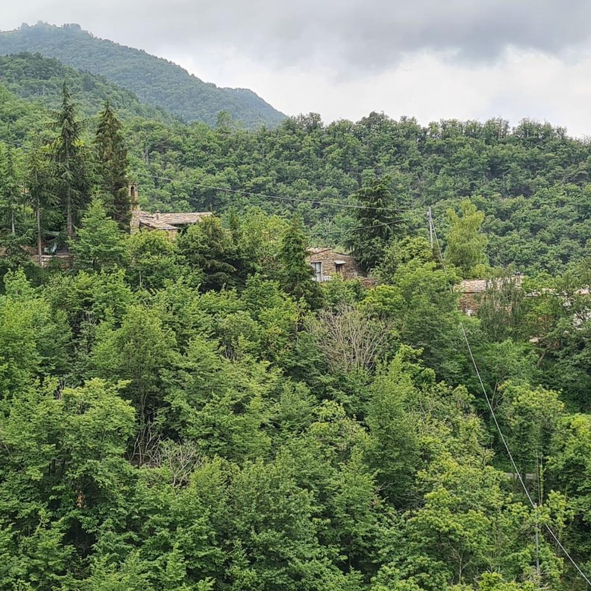
Village at the foot of Triora
0
0


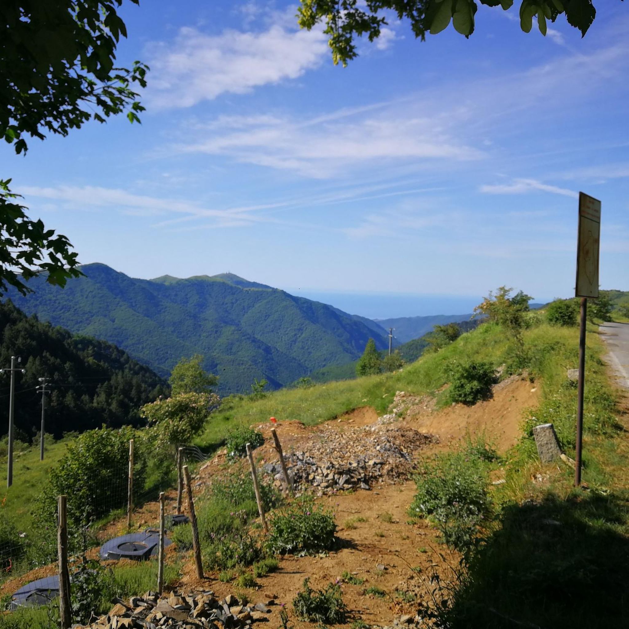
Itinerary for experts with good training, follow the path carefully. At the Garezzo tunnel turn right. At the Mezzaluna Pass, leave the road and go up a few meters to the right, near the sign turn left onto a narrow path and follow it into the woods, from here the path becomes more technical and through the beautiful beech forest leads to the Teglia pass, from which you can reach Molini by road.
0
0

Mountain bike Mecca for connoisseurs and lovers of enduro trails in the alpine nature
0
0
Bar me good paninis, I would avoid the pasta
0
0

Villatalla: perhaps of origin prior to the Roman occupation. The toponyms with the Semitic-Aryan root "tala", "tel", "tula" which means "mountain, support" date back to the first inhabitants of the area. The toponym for some is of Provençal origin "small bicocca" or fortress, castle, located on the top of the mountain. - for observation, defense, fortress, etc., for others it means "flowered villa" from taleia which in Greek means flowered, but for most, and very probably with some foundation, Villa della Vallata from a total German etymology ... Wilhelm-thal, from the Lombard thal. Its parish church, already separated from the matrix of S. Giacomo di Prela in 1341, is dedicated to St. Michael the Archangel, a saint beloved by the Lombards, to whom they attributed their victory of Siponto in 663 over the Saracens. Note: until the 17th century, the Piedmontese used to call the Western Ligurians "i ficoni" meaning eaters, planters, fig traders. In Villatalla, an area behind the parish church is still called "vizzai" because in those lands the "vizze" (woven reeds) were placed with figs on top to dry in the sun. Cycling-wise, however, the view is worth all the effort to get to the village.
0
0
this ancient Romanesque (medieval) bridge leads into the old part of the town. It is worth a visit or a detour from the road, even by bike. You come out further ahead
1
0
Frequently Asked Questions
How many running routes are available in Monte Carpasina?
Monte Carpasina offers a selection of over 25 running routes, providing diverse options for various skill levels and preferences.
What kind of terrain can I expect on the jogging trails in Monte Carpasina?
Joggers in Monte Carpasina will encounter a diverse mountainous landscape featuring ridges, rocky mountain formations, and extensive wooded areas. The trails can range from steep sections to grassy slopes, offering a dynamic experience.
Are there any moderate or easier running routes in Monte Carpasina?
While many routes are challenging, there are some moderate options available. For instance, the Borgomaro loop from Borgomaro is a moderate 4.6-mile path that offers a scenic experience without extreme difficulty.
What are some challenging running routes in the Monte Carpasina area?
For those seeking a challenge, routes like the Beautiful Picnic Spot – Wooden Fence on Forest Trail loop from Molini di Triora, a 17-mile difficult trail, provide significant elevation gain and distance. Another demanding option is the Poggio della Croce – Chiesa di San Bernardo loop from Vasia, which covers 7.8 miles through varied terrain.
Are there any circular jogging routes in Monte Carpasina?
Yes, many of the running paths in Monte Carpasina are designed as loops, allowing you to start and finish in the same location. Examples include the Pietrabruna - Monte Follia Loop and the Borgomaro loop from Borgomaro.
What can I see along the running routes in Monte Carpasina?
Beyond the stunning natural beauty of the mountains and forests, you can discover interesting points of interest. Consider visiting the Colle d'Oggia mountain pass or enjoying the panoramic views from the Monte Grande Summit. The area also features cultural highlights like the Lavender Museum or the Sanctuary of Our Lady of Ciazzime.
What do other runners enjoy most about jogging in Monte Carpasina?
The running routes in Monte Carpasina are highly rated by the komoot community, with an average score of 4.4 stars from 8 reviews. Runners often praise the varied terrain, from ridgelines to wooded paths, and the opportunity to explore a diverse natural environment.
Are there any dog-friendly trails for jogging in Monte Carpasina?
Monte Carpasina's natural environment, with its extensive trails and wooded areas, is generally welcoming for dogs. However, it's always recommended to keep your dog on a leash, especially in areas with wildlife or near livestock, and to check local regulations for specific trails.
What is the best time of year for jogging in Monte Carpasina?
The region offers beautiful scenery throughout the year. In autumn, some valleys in the broader area are known for their vibrant, colorful beech, spruce, and larch forests, providing a particularly scenic backdrop for a run. Spring and early summer also offer pleasant temperatures and blooming flora.
Are there any places to eat or refresh near the jogging routes?
Yes, after your run, you might find options for refreshment. For example, Bar Ristorante Trunette in Carpasio is a highlight in the area where you can refuel.
What are the highest peaks in the Monte Carpasina area that I might encounter on a run?
The region is characterized by several notable peaks. You might encounter Monte Fenaira, the highest at 1,459 meters (4,787 feet), Monte Grande at 1,418 meters (4,652 feet), and Monte Carpasina itself at 1,408 meters (4,619 feet), offering challenging ascents and rewarding views.
Most popular routes in Monte Carpasina
Most popular attractions in Monte Carpasina

Get inspired with the komoot mobile app


Explore more
Browse the best Running Trails & Routes in other regions.
