The best road cycling routes in Spirkenwälder Saminatal
4.4
(387)
12,097
riders
88
rides
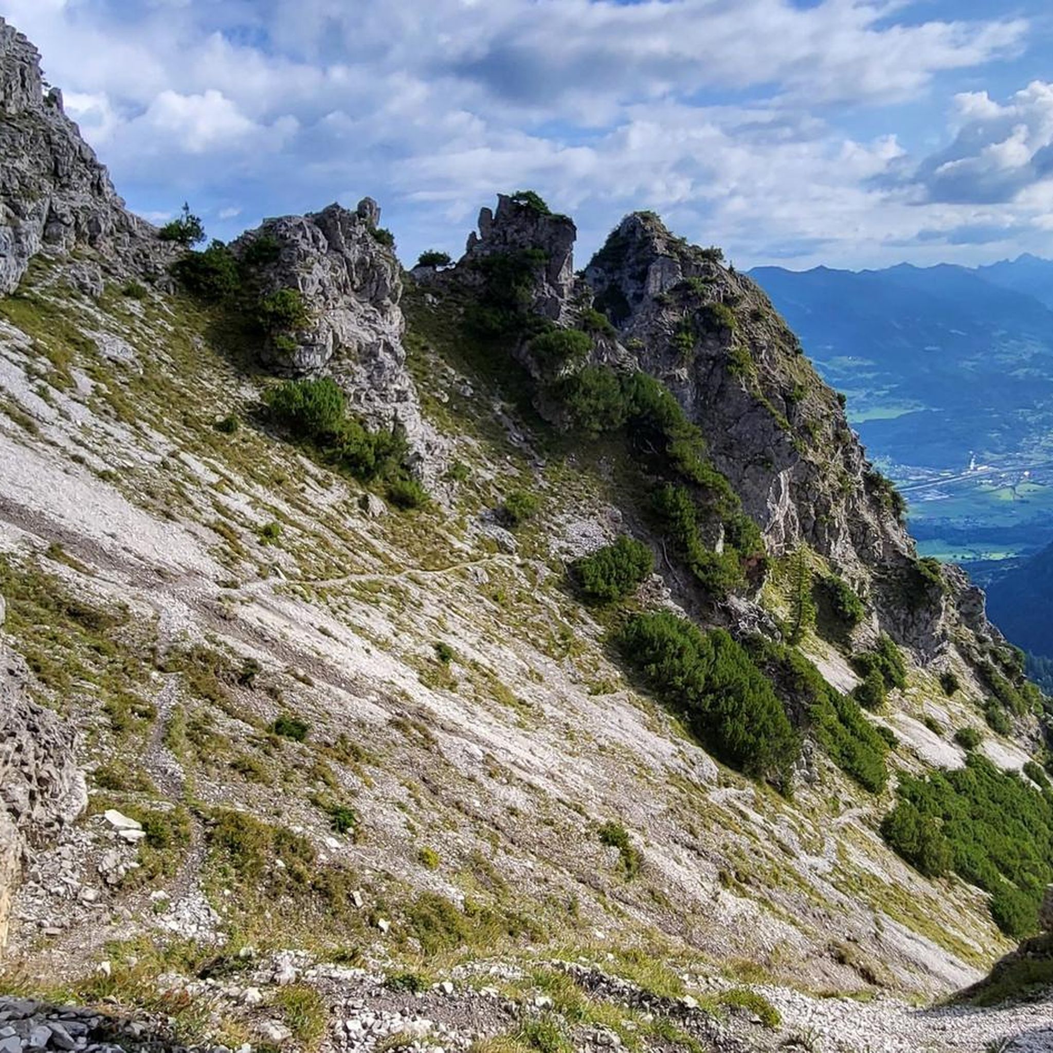
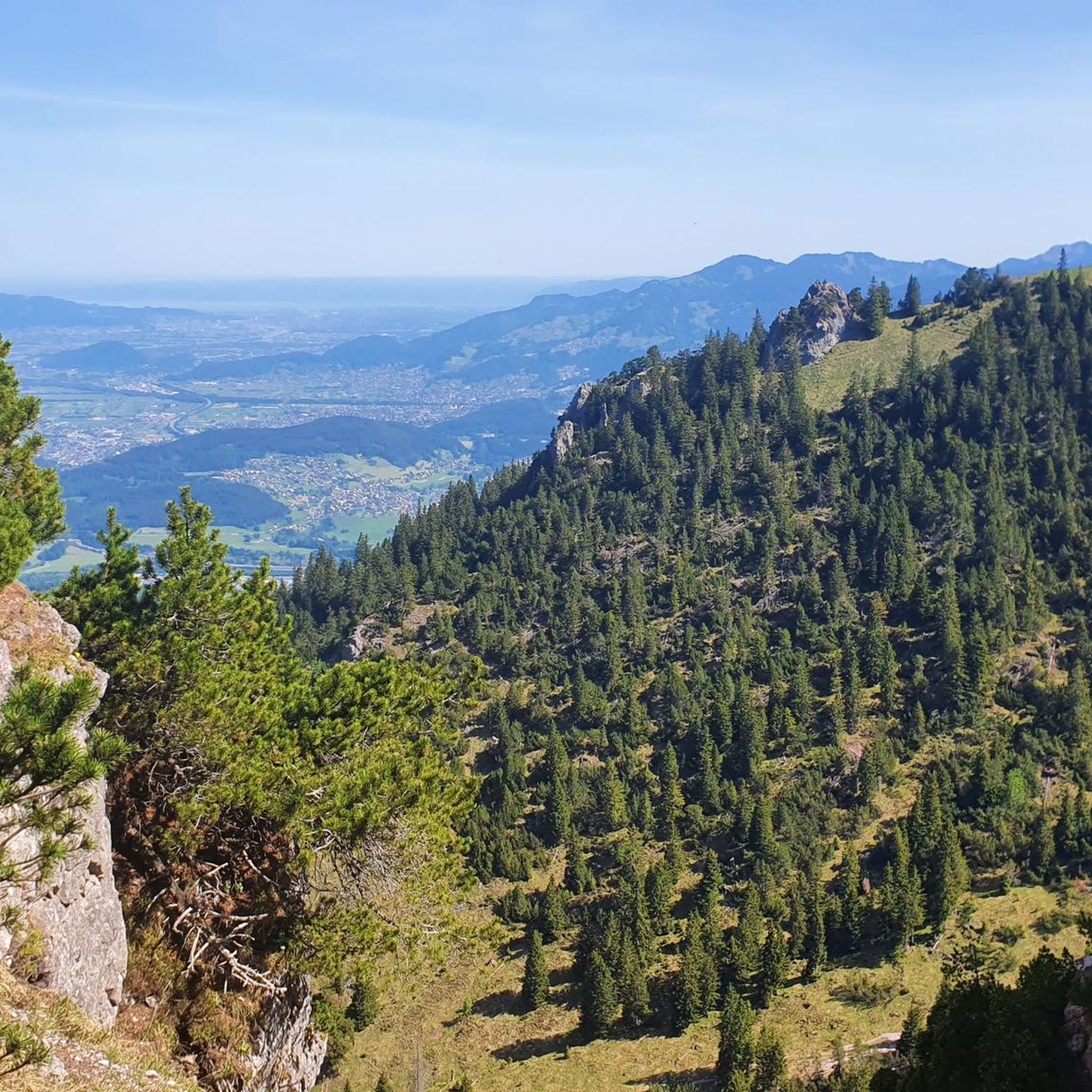
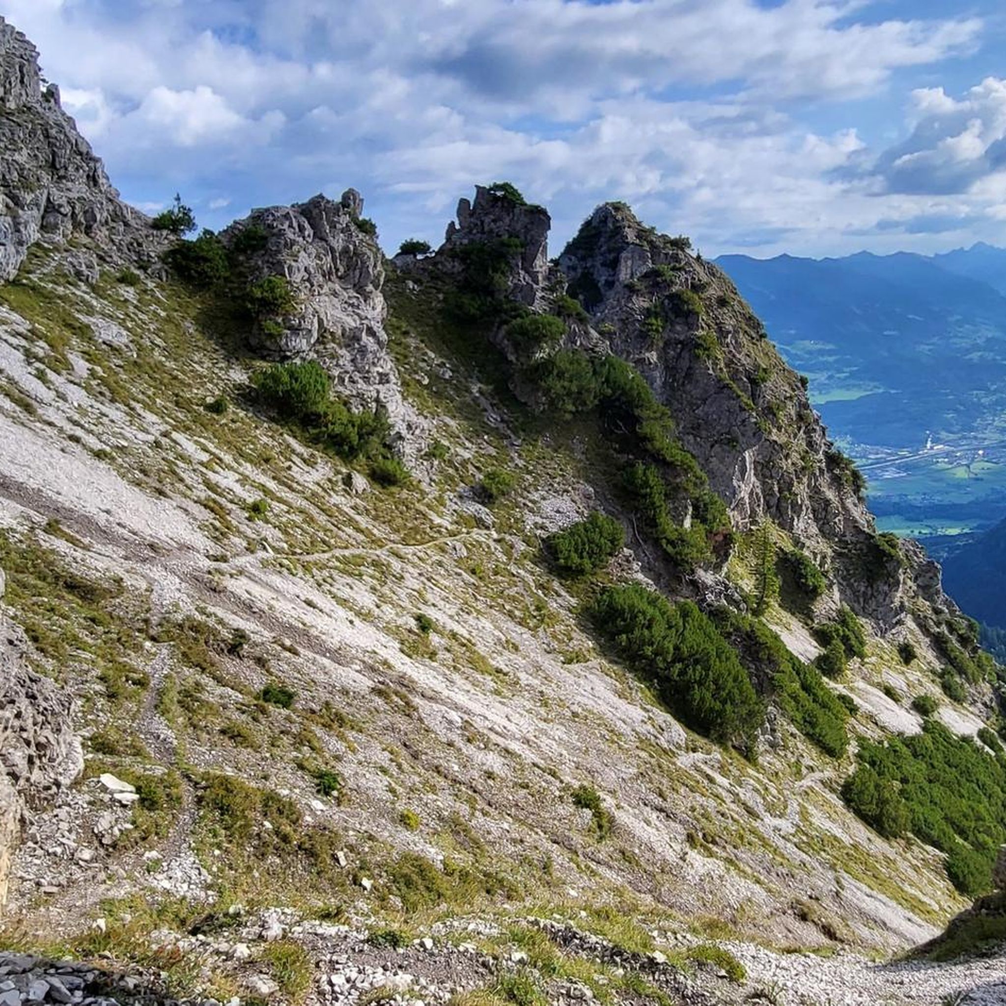
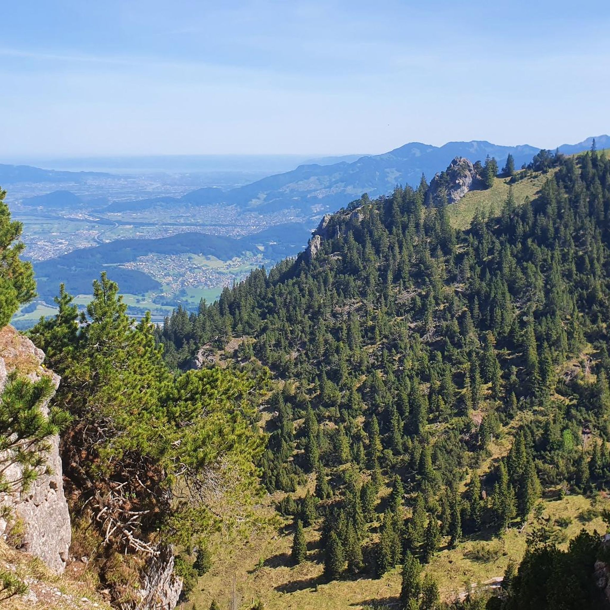
Road cycling in Spirkenwälder Saminatal, a Natura 2000 protected area within the Rätikon mountain range, features a diverse topography with elevations ranging from approximately 830 meters to 2,200 meters. The region is characterized by its unique Spirkenwälder (mountain pine forests) and alpine landscapes. While direct public road access into the protected core area is limited, surrounding routes offer challenging climbs and scenic passages. The Saminatal itself, with the Samina river, forms a significant natural corridor.
Best road cycling routes in Spirkenwälder Saminatal
- The most popular road cycling route is Lake Galina – Lake Nachbauer loop from Frastanz, a 42.7 miles (68.7 km) trail that takes 3 hours 40 minutes to complete. This difficult route features significant elevation gain around alpine lakes.
- Another top favourite among local road cyclists is Dornbirner Ach – View of the Allgäu from Buch loop from Frastanz, a difficult 55.5 miles (89.4 km) path. This route offers expansive views towards the Allgäu region.
- Local road cyclists also love the Lake Nachbauer – Lake Galina loop from Tisis, a 49.4 miles (79.6 km) trail leading through mountainous terrain and past alpine lakes, often completed in about 4 hours 36 minutes.
- Road cycling in Spirkenwälder Saminatal is defined by the Rätikon mountain range, Spirkenwälder (mountain pine forests), and alpine pastures. The network offers options for easy, moderate, and difficult ability levels.
- The routes in Spirkenwälder Saminatal are highly rated by the komoot community with an average score of 4.5 stars from over 380 reviews. More than 13,000 road cyclists have used komoot to explore Spirkenwälder Saminatal's varied terrain.
Last updated: July 5, 2026
5.0
(7)
138
riders
68.7km
03:40
1,280m
1,280m
Hard road ride. Very good fitness required. Mostly well-paved surfaces and easy to ride.
4.0
(2)
111
riders
89.8km
04:06
930m
930m
Hard road ride. Very good fitness required. Mostly well-paved surfaces and easy to ride.

Sign up for free
4.8
(6)
454
riders
79.5km
04:36
1,870m
1,870m
Hard road ride. Very good fitness required. Mostly well-paved surfaces and easy to ride.
4.6
(9)
414
riders
44.8km
02:07
100m
100m
Moderate road ride. Good fitness required. Some segments of this route may be unpaved and difficult to ride.
4.5
(31)
842
riders
Moderate road ride. Good fitness required. Mostly well-paved surfaces and easy to ride.
Get access to more routes and recommendations from other explorers.
Sign up for free
Already have an account?
Our route recommendations are based on thousands of hikes, rides, and runs completed by other people on komoot.
Start today with a free account
Your next adventure awaits.
Login or Signup

Tips from the Community

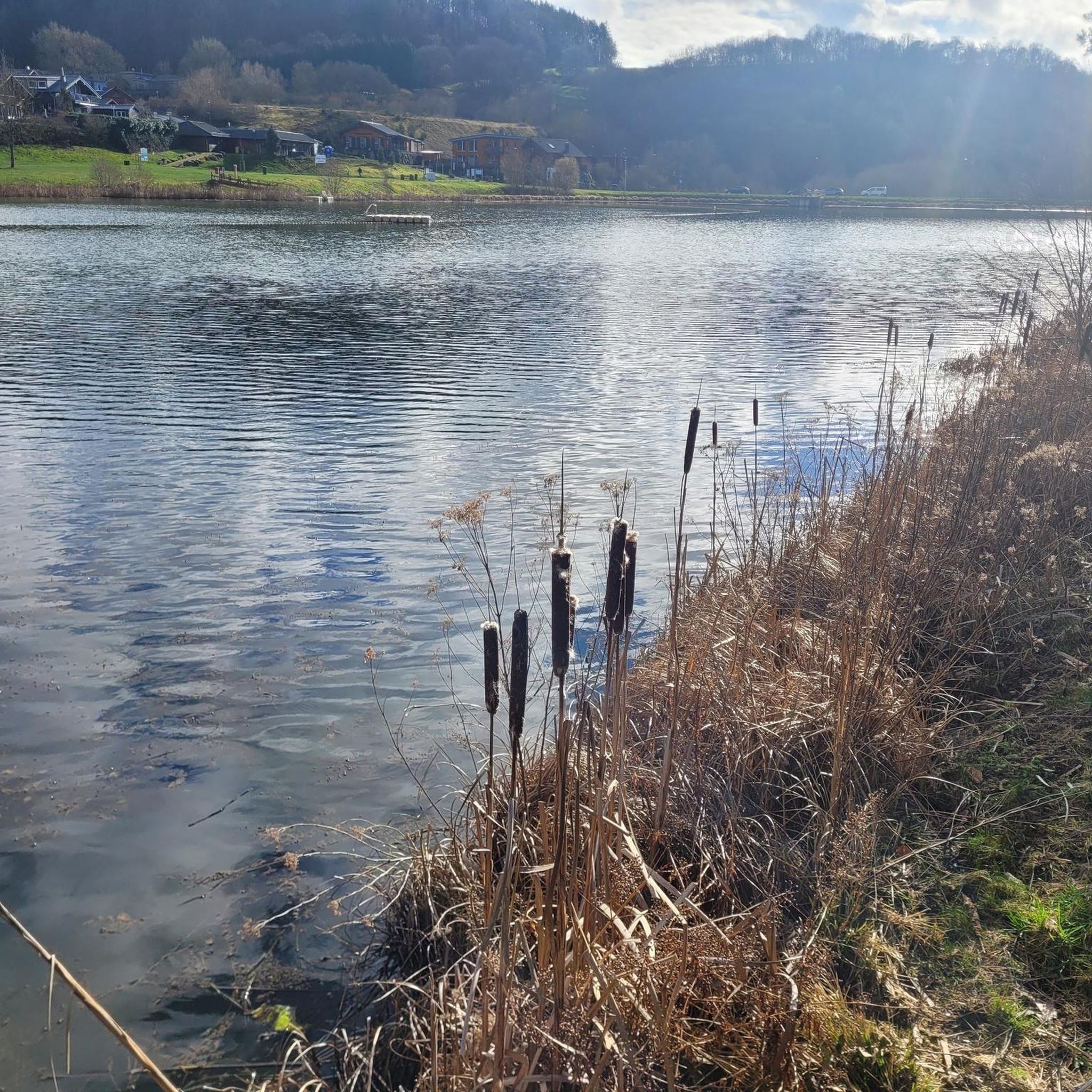
Good place to take a break - careful, please don't disturb the anglers, to each their own hobby :-)
0
0

A really big, breaded schnitzel for everyone.
0
0
Everyone wishing to enter Switzerland at this point must pass through this low and narrow gate. It somehow makes you aware that you are entering federal military territory and that we, as Switzerland, have an army for national defense.
0
0

It is the parliament of the Principality of Liechtenstein and consists of 25 members in one chamber. First session: 1818 Legislative term: 4 years Representatives: 25 Further information De.wikipedia.org
1
0

From 2002, stands in front of the town hall
8
0

Very nice building at the south entrance to the pedestrian zone
4
0

Beautiful view of the Bregenzerwald, it is worth a stop
1
0

A small model of the castle, nice to look at.
5
0
Frequently Asked Questions
What is the general terrain like for road cycling in Spirkenwälder Saminatal?
The Spirkenwälder Saminatal region, nestled within the Rätikon mountain range, offers a diverse and challenging topography for road cycling. You can expect significant elevation changes, with routes ranging from approximately 830 meters to 2,200 meters above sea level. The landscape features unique Spirkenwälder (mountain pine forests) and alpine pastures, providing scenic but demanding climbs.
Are there many road cycling routes available in the Spirkenwälder Saminatal area?
Yes, the broader Spirkenwälder Saminatal area offers a good selection of routes. There are nearly 100 road cycling routes available, catering to various skill levels. Approximately 25 are considered easy, 54 moderate, and 15 are difficult, providing options for most cyclists.
Can I road cycle directly into the protected Spirkenwälder Saminatal area?
It's important to note that there is no public road access directly into the core protected Spirkenwälder Saminatal area. While surrounding routes offer challenging climbs and scenic passages, the protected zone itself is more suited for hiking or mountain biking on designated forest roads.
What kind of natural features or landmarks can I expect to see on road cycling routes around Spirkenwälder Saminatal?
Road cycling routes in the vicinity of Spirkenwälder Saminatal often provide views of the dramatic alpine scenery of the Rätikon mountain range. You might encounter impressive peaks like Galinakopf Summit or Hohe Köpfe Summit. The region is also characterized by its unique mountain pine forests and alpine pastures.
What do other road cyclists enjoy most about the routes in Spirkenwälder Saminatal?
The road cycling routes in the Spirkenwälder Saminatal area are highly rated by the komoot community, with an average score of 4.5 stars from over 380 reviews. Cyclists often praise the challenging climbs, the expansive views, and the immersive experience within the unique alpine and forest ecosystems.
Are there any circular road cycling routes in the region?
Yes, many routes in the area are designed as loops. For example, the Lake Galina – Lake Nachbauer loop from Frastanz is a popular difficult route featuring significant elevation gain around alpine lakes. Another option is the Lake Nachbauer – Lake Galina loop from Tisis, which also leads through mountainous terrain.
What is the best time of year for road cycling in Spirkenwälder Saminatal?
Given the mountainous terrain and elevations up to 2,200 meters, the best time for road cycling in Spirkenwälder Saminatal is typically from late spring through early autumn. During these months, you'll find more favorable weather conditions, less snow at higher altitudes, and open mountain passes. Always check local weather forecasts before heading out.
Are there any family-friendly road cycling options in the Spirkenwälder Saminatal area?
While many routes in the immediate mountainous area are challenging, there are easier road cycling options available. Approximately 25 routes are rated as easy, which might be suitable for families or those seeking a more relaxed ride. These routes generally feature less elevation gain and are often found in the valleys or on flatter sections surrounding the protected area.
Is the Spirkenwälder Saminatal region more suitable for road biking or mountain biking?
Due to the limited public road access directly into the protected core area and the presence of forest roads, the Spirkenwälder Saminatal region is often considered more appealing for mountain biking or gravel biking. However, the surrounding areas still offer a good network of challenging road cycling routes, particularly for those who enjoy significant climbs and alpine scenery.
Are there any routes that offer expansive views towards other regions?
Yes, some routes provide far-reaching vistas. The Dornbirner Ach – View of the Allgäu from Buch loop from Frastanz is a difficult route that offers expansive views towards the Allgäu region, making for a very rewarding ride.
What are the typical distances and durations for road cycling routes in this area?
The routes vary significantly in length and duration. For instance, a moderate route like the Old Rhine Bridge Vaduz–Sevelen – Vaduz Castle loop from Nendeln covers about 45 kilometers and takes around 2 hours. More difficult routes, such as the Lake Galina – Lake Nachbauer loop from Frastanz, can be over 68 kilometers and take nearly 4 hours to complete, depending on your pace and elevation gain.
Can I find routes that cross into neighboring areas or countries?
Yes, the region's location near the border allows for routes that extend into neighboring areas. For example, the Old Rhine Bridge Vaduz–Sevelen – Vaduz Castle loop from Nendeln takes you past the Old Rhine Bridge and Vaduz Castle, offering a glimpse into Liechtenstein.
Most popular routes in Spirkenwälder Saminatal
Most popular attractions in Spirkenwälder Saminatal

Get inspired with the komoot mobile app


Explore more
Browse the best Road cycling routes in other regions.
