The 12 Most Amazing Peaks in Europaschutzgebiet Verwall
Best mountain peaks in Europaschutzgebiet Verwall are found within a Natura 2000 nature reserve, spanning parts of Vorarlberg and Tyrol in Austria. This protected area covers approximately 120 km² and features a mountainous landscape with a harsh climate and rocky terrain. The region is characterized by resilient flora and fauna, providing a habitat for rare bird species. Visitors can explore a diverse range of peaks, mountain lakes, and tundra-like fields, offering extensive panoramic views.
Best mountain peaks in Europaschutzgebiet Verwall
…Last updated: July 5, 2026
Versalspitze
Highlight • Summit
Translated by Google •
Tip by

Summit Cross Grappeskopf
Highlight • Summit
Translated by Google •
Tip by

Sign up now to discover places like this
Get recommendations on the best single tracks, peaks, & plenty of other exciting outdoor places.
Sign up for free
Fädnerspitze
Highlight (Segment) • Summit
Translated by Google •
Tip by

Burtschakopf Summit
Highlight • Summit
Translated by Google •
Tip by

Westlicher Maroikopf (2,522 meters)
Highlight • Summit
Translated by Google •
Tip by
Sign up for free to discover even more peaks in Europaschutzgebiet Verwall.
Sign up for free
Already have an account?
Start today with a free account
Your next adventure awaits.
Login or Signup
Popular around Europaschutzgebiet Verwall
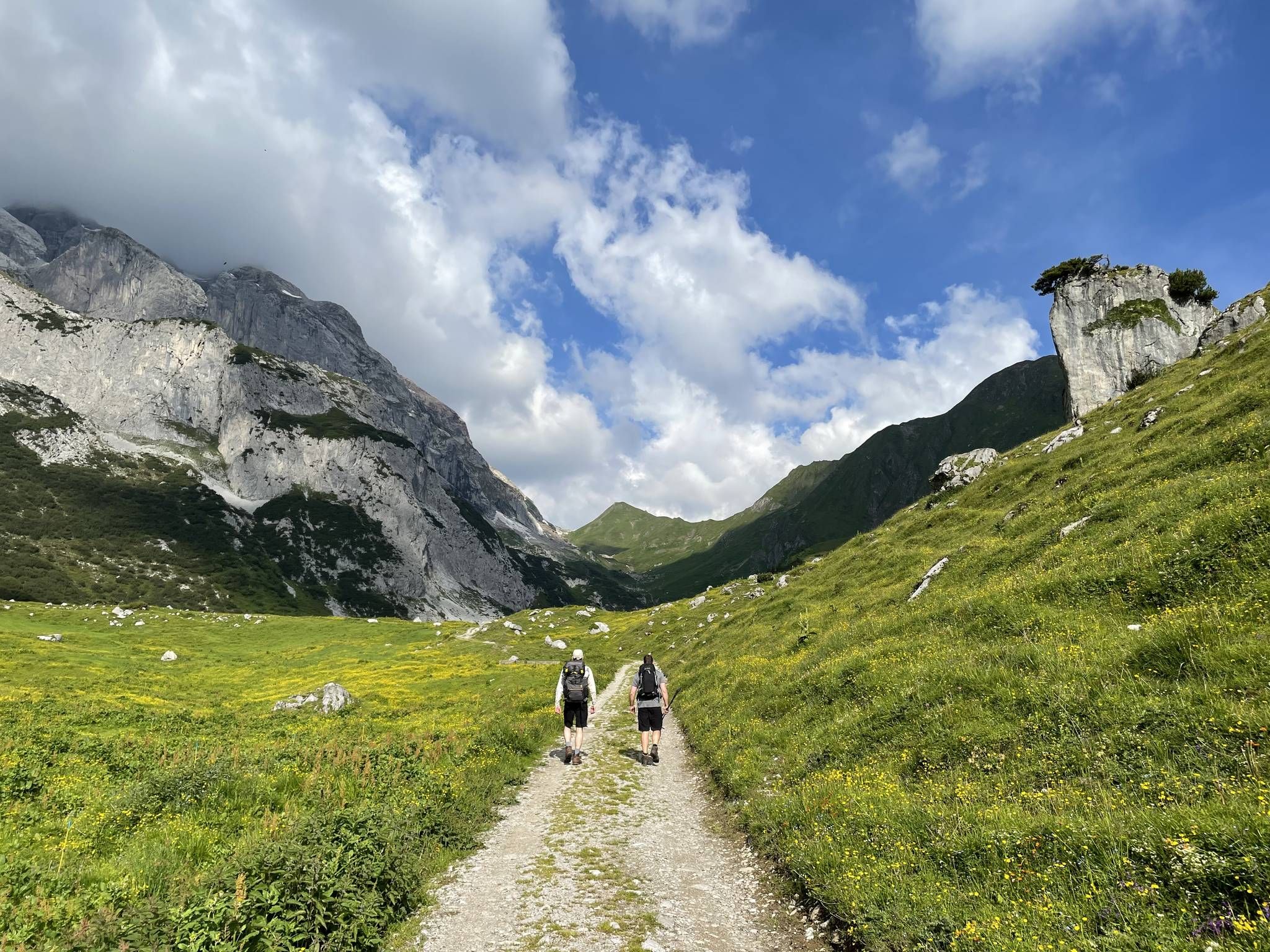
Montafon Hut-to-Hut Hiking Trail – 13 days in Western Austria
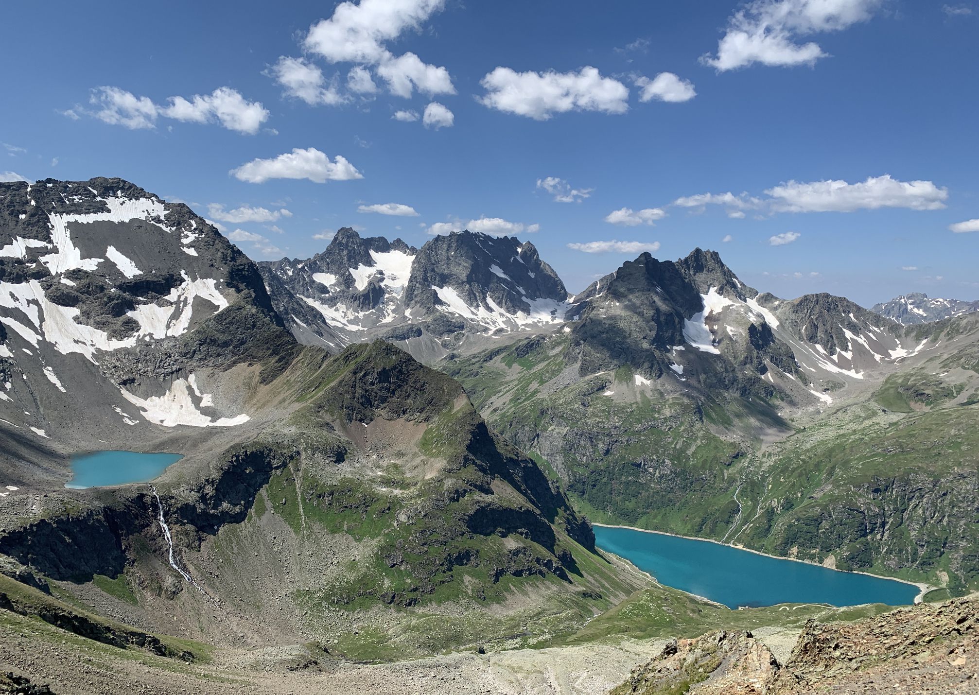
Wild and untouched – Austria’s Verwall-Runde hiking trail
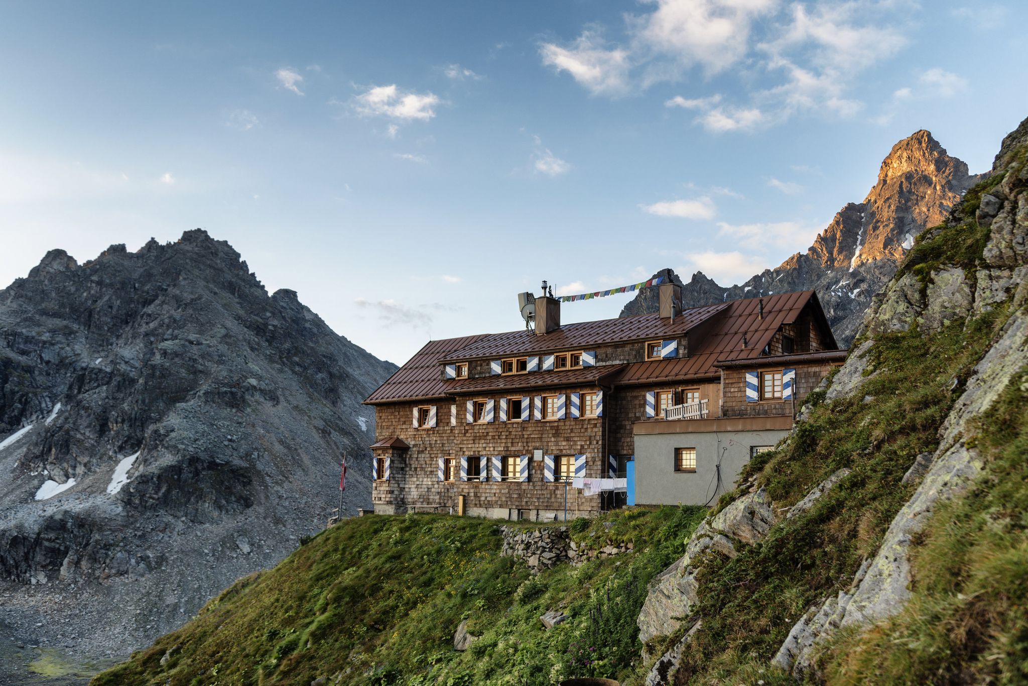
Alpenmosaik Montafon - The Montafoner Hüttenrunde
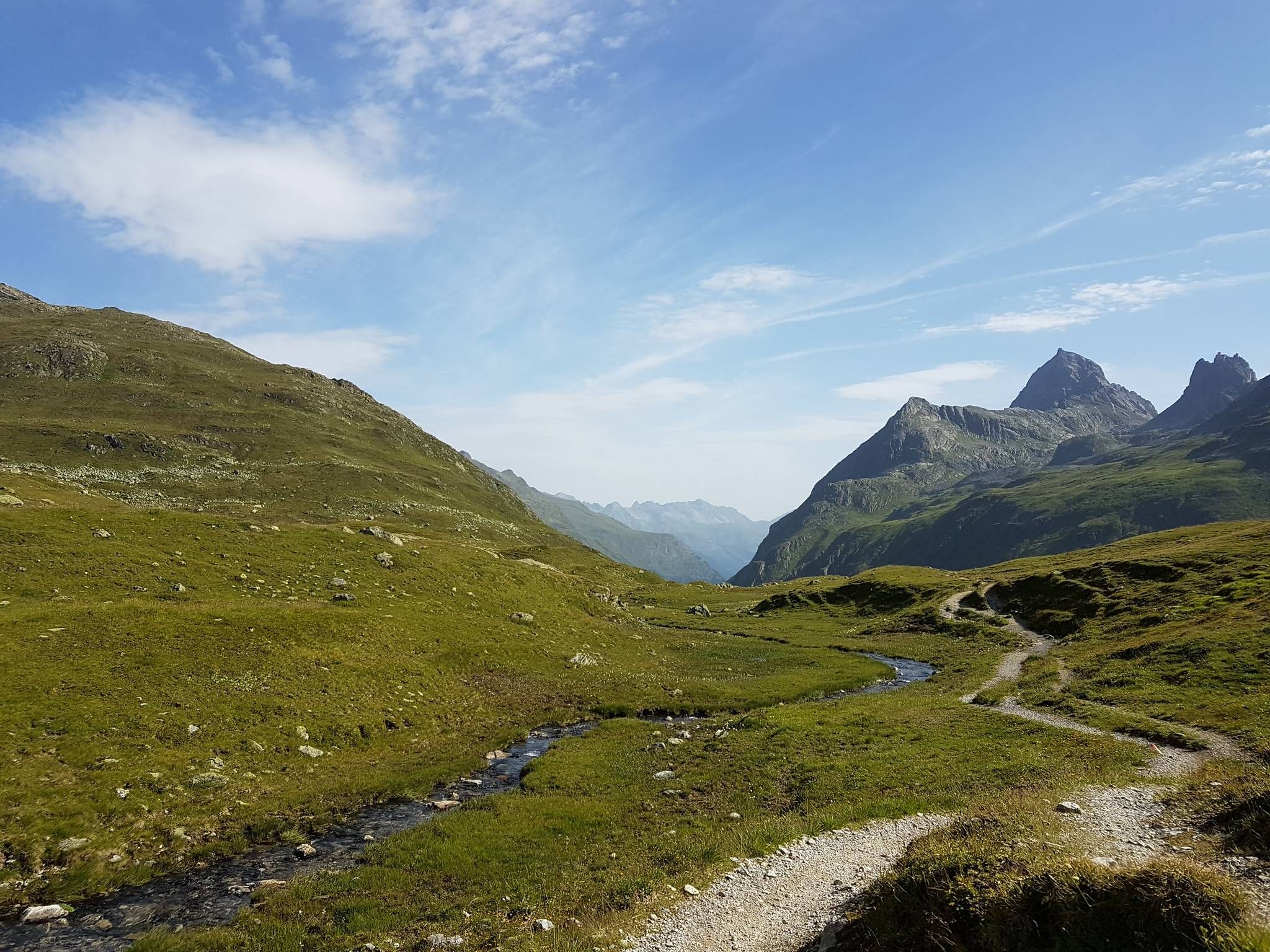
Crossing the Alps over a weekend - 3 days in the Rätikon
Alpine overnighters with kids
Cycling in Europaschutzgebiet Verwall
MTB Trails in Europaschutzgebiet Verwall
Road Cycling Routes in Europaschutzgebiet Verwall
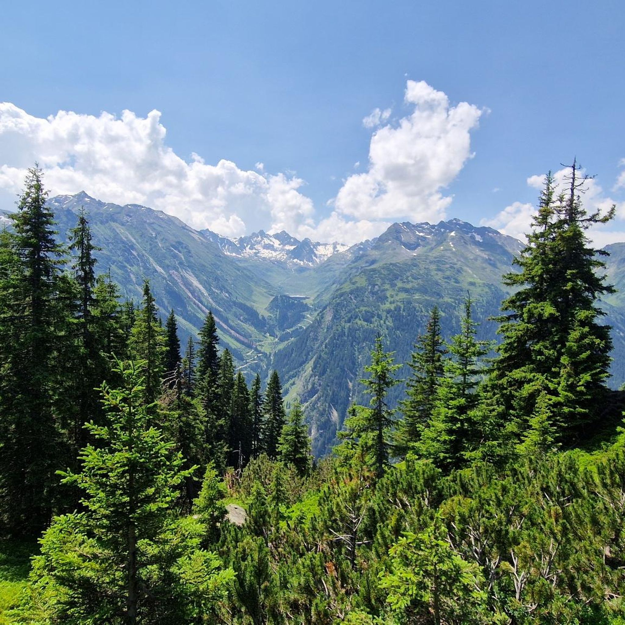
Running Trails in Europaschutzgebiet Verwall
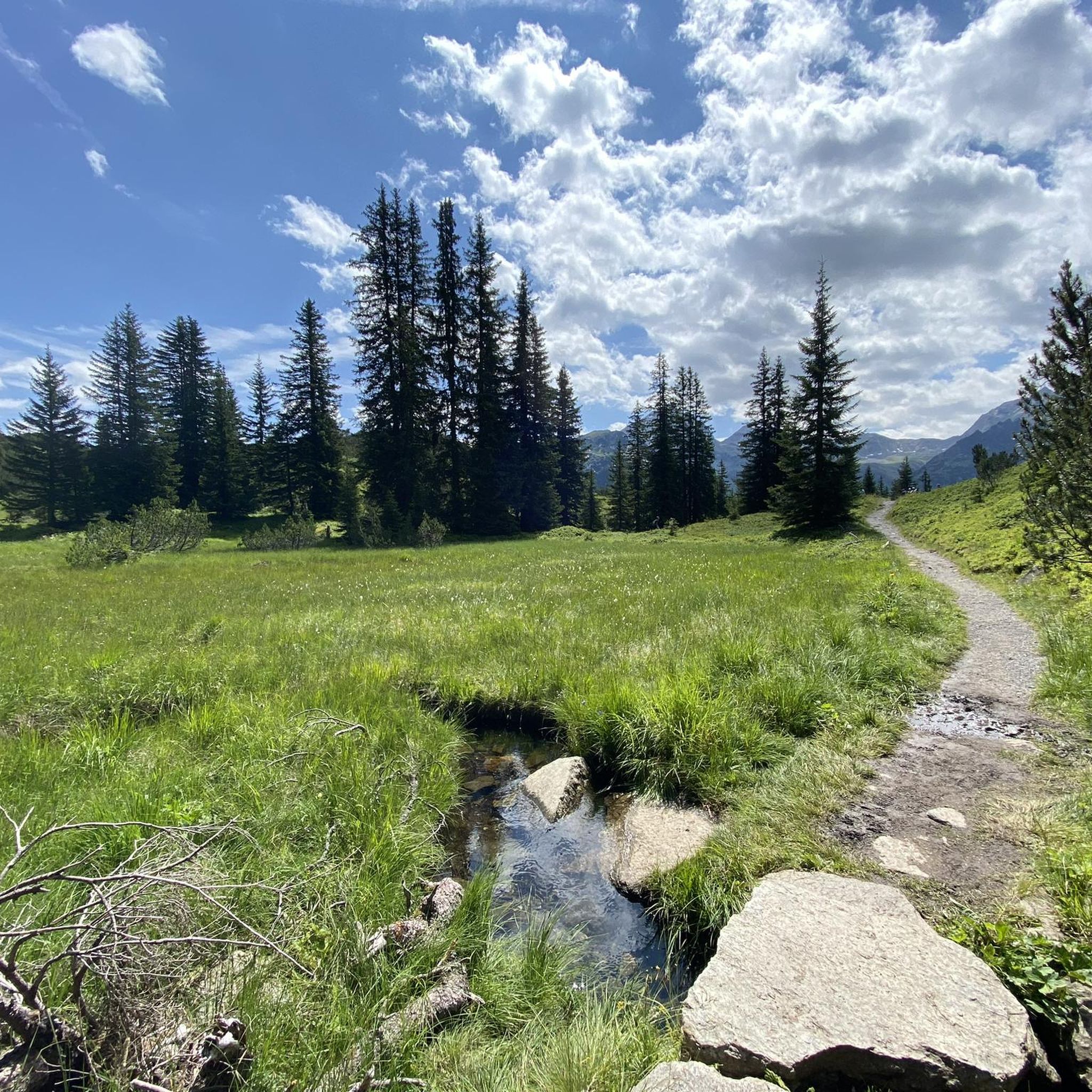
Hiking in Europaschutzgebiet Verwall
Other adventures in Europaschutzgebiet Verwall


Tips from the Community

Very beautiful peaks! The path to the summit requires surefootedness.
0
0


Great panorama but only for those with a head for heights.
0
0

The way up there alone is worth it ... beautiful landscape, great paths and (in good weather) a great view of the valley and the lake below.
0
0


In good weather you have a good view from the summit in all directions
1
0

From the parking lot and the bus stop at Zeinisjoch you hike on the trail across the steep grassy slopes with the name Wang always up the Fädnerspitze. In the further course, the mountain trail swings slightly to the right and stops at the long summit ridge. Now quite steep over the ridge and directly on a smooth Felsen.In a crevice you will find good kicks and so you overcome this short, but for the inexperienced but somewhat critical place until you arrive at the summit. Back it goes exactly on the ascent route.
1
0
Frequently Asked Questions
What makes Europaschutzgebiet Verwall a special place for mountain peaks?
Europaschutzgebiet Verwall is a Natura 2000 nature reserve known for its wild, untouched mountainous landscape. It features a harsh climate, rocky terrain, and resilient flora and fauna, providing a crucial habitat for rare bird species. The area offers mystical mountain lakes, moors, and vast fields reminiscent of the tundra, providing a profound sense of peace and extensive panoramic views.
What is the highest mountain peak in Europaschutzgebiet Verwall?
The highest and most prominent mountain within the Europaschutzgebiet Verwall is Pflunspitzen, standing at 2,912 meters. It offers a significant challenge and rewarding views for experienced hikers and climbers seeking panoramic vistas of the protected area.
Which mountain peaks offer the best panoramic views in the region?
For excellent panoramic views, consider Versalspitze (2,462 m), which provides extensive views of the Verwall Group and the Montafon region. From here, you can also extend your hike to the nearby Tavamunter Augstenberg (2,489 m) for additional scenic rewards. Burtschakopf Summit also offers a gigantic all-around view, including into Bludenz, the Brandnertal, Montafon, and directly opposite the Spullersee, Gehrengrat, and Rote Wand.
Are there any family-friendly mountain peaks or trails in Europaschutzgebiet Verwall?
While many peaks offer challenging ascents, the trails around Westlicher Maroikopf (2,522 meters) provide an adventurous experience for all ages in summer. The descent towards the Kaltenbergalpe is also enjoyable, making it a good option for families looking for an engaging hike.
What unique features can I find on the mountain peaks?
On Westlicher Maroikopf (2,522 meters), you'll find a distinctive, seemingly precarious stone figure that has withstood the elements for years, adding a unique point of interest. The area also features mystical mountain lakes like Langsee and Wiegensee, and vast fields reminiscent of the tundra.
When is the best time to visit the mountain peaks in Europaschutzgebiet Verwall?
The summer months are generally ideal for hiking and exploring the mountain peaks, offering the best weather conditions and accessibility. However, the descent from Westlicher Maroikopf towards the Kaltenbergalpe is particularly enjoyable in winter, suggesting opportunities for winter sports enthusiasts as well.
How challenging are the ascents to the mountain peaks in this region?
The difficulty varies. Peaks like Summit Cross Grappeskopf involve a relatively steep climb, with small trickles in summer potentially making rocks slippery. The ascent to Fädnerspitze includes a short, challenging section over a smooth rock face near the summit, which might be critical for less experienced climbers. Many peaks are considered challenging, but some offer intermediate options.
Are there hiking routes available near these mountain peaks?
Yes, Europaschutzgebiet Verwall offers a variety of hiking routes. For example, you can find routes like the 'New Heilbronner Hut – Konstanzer Hut loop' or the 'Wiegensee Nature Reserve – Wiegensee loop'. You can explore more options on the Hiking in Europaschutzgebiet Verwall guide.
What other outdoor activities can I do near the mountain peaks?
Beyond hiking, the region offers opportunities for mountain biking and road cycling. You can find various routes, such as the 'Gargellen – Climb to Gargellen loop' for road cycling or the 'Kaltenberg Hut, 2,089 m – Maroiköpfe Summit loop' for mountain hikes. Discover more details in the Mountain Hikes in Europaschutzgebiet Verwall guide and the Road Cycling Routes in Europaschutzgebiet Verwall guide.
Where can I park when visiting peaks like Fädnerspitze?
For peaks like Fädnerspitze, you can typically find parking at accessible points such as the Zeinisjoch, which also serves as a bus stop. From there, trails lead directly to the summit.
What do visitors enjoy most about the mountain peaks in Europaschutzgebiet Verwall?
Visitors consistently praise the breathtaking panoramic views from summits like Versalspitze and Burtschakopf Summit. The untouched natural beauty, diverse landscapes, and the sense of seclusion and silence are also highly appreciated, making a hike here feel like a journey through various natural wonders.
Most popular routes in Europaschutzgebiet Verwall
Most popular attractions in Europaschutzgebiet Verwall

Get inspired with the komoot mobile app


Explore more
See even more amazing summits in Europaschutzgebiet Verwall with these guides:
