The best cycling routes in Hoher Ifen
4.5
(7480)
49,733
riders
274
rides
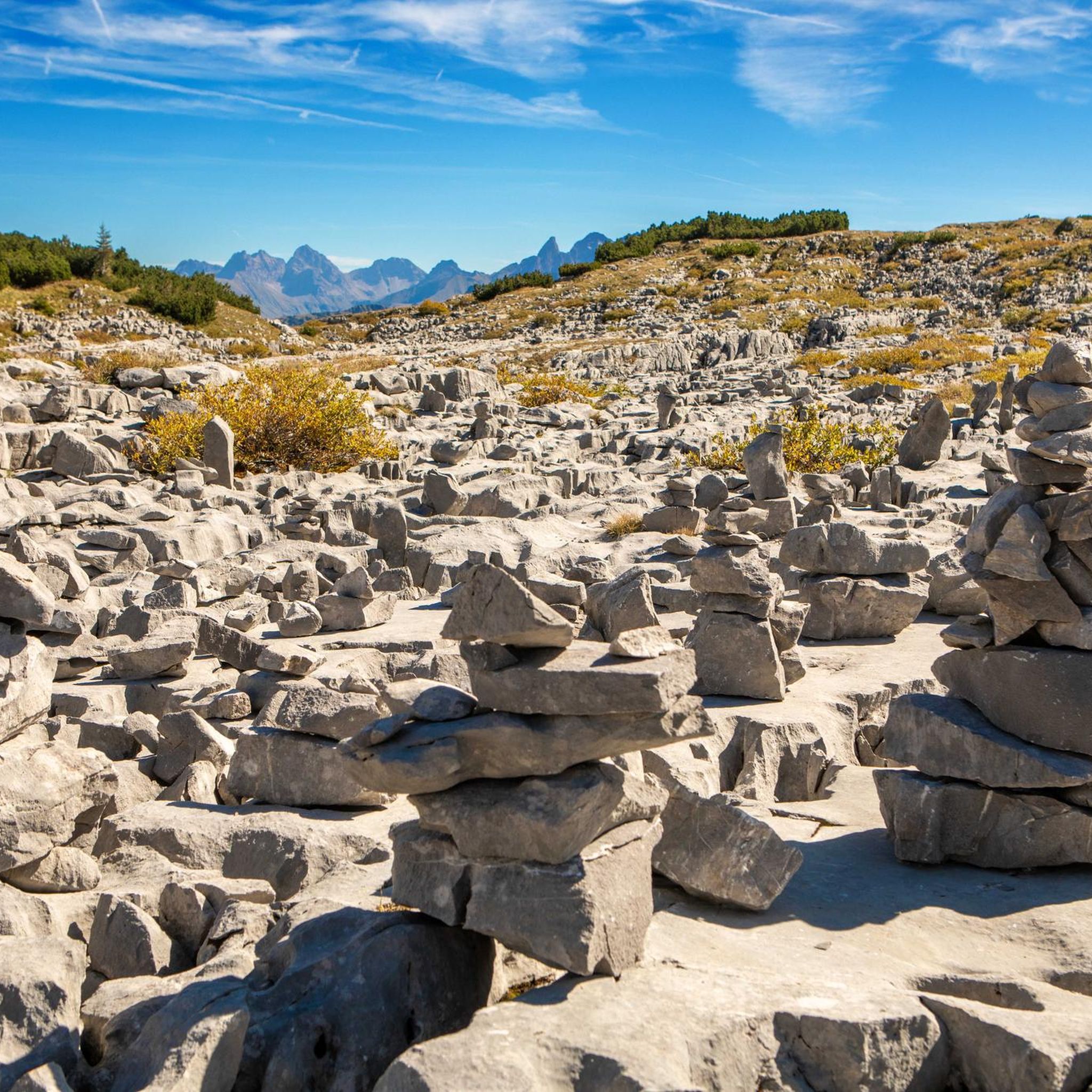
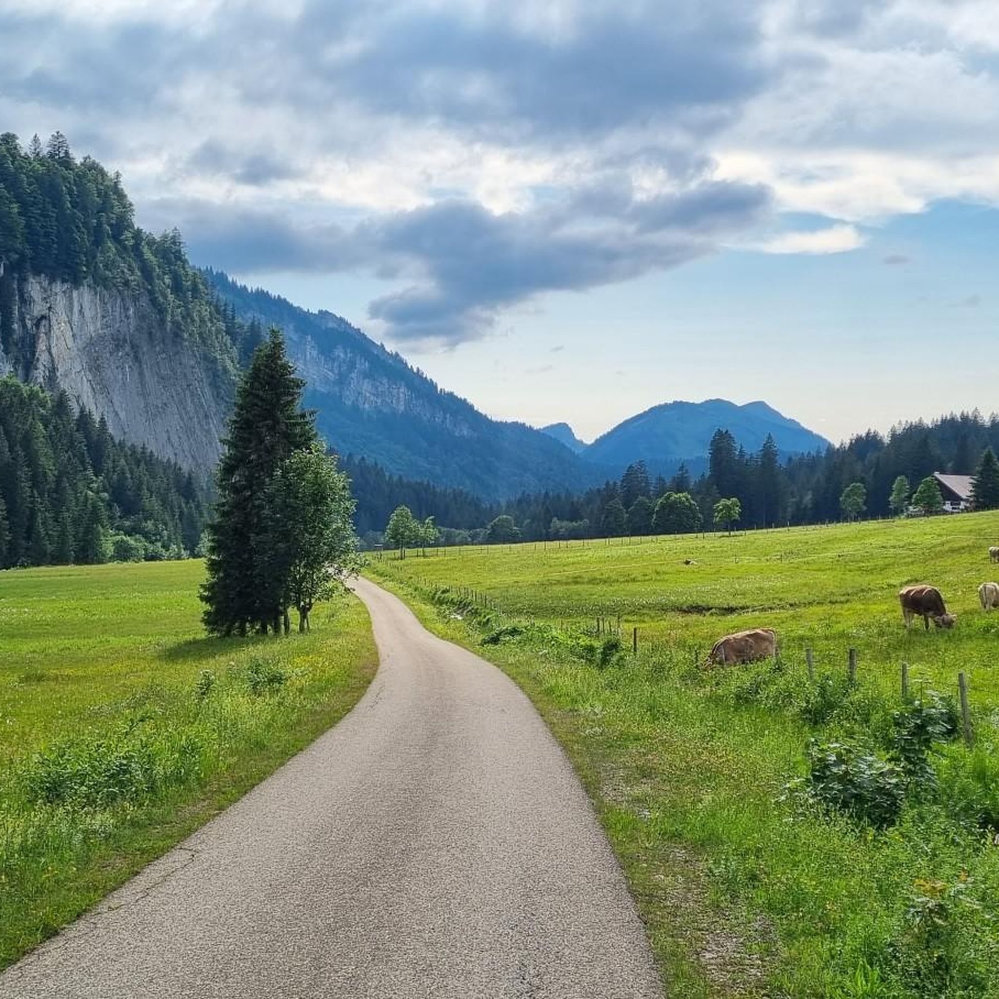
Touring cycling in Hoher Ifen is characterized by its diverse alpine landscape, encompassing the distinctive Hoher Ifen massif with its vertical rock bands and the rugged karst formations of the Gottesacker Plateau. The region also features the lush Schwarzwassertal valley, with its ancient moors, alongside extensive mountain forests and alpine meadows. These varied terrains offer a range of cycling experiences, from valley routes to more challenging ascents.
Best touring cycling routes in Hoher Ifen
- The most popular touring cycling route…
Last updated: July 4, 2026
5.0
(54)
326
riders
45.0km
03:59
1,100m
1,100m
Hard bike ride. Very good fitness required. Mostly paved surfaces. Suitable for all skill levels.
5.0
(4)
34
riders
17.8km
01:11
280m
280m
Moderate bike ride. Good fitness required. Mostly paved surfaces. Suitable for all skill levels.

Sign up for free
4.1
(7)
55
riders
17.6km
01:13
320m
320m
Moderate bike ride. Good fitness required. Mostly paved surfaces. Suitable for all skill levels.
5.0
(3)
11
riders
Moderate bike ride. Good fitness required. Mostly paved surfaces. Suitable for all skill levels.
4.7
(164)
839
riders
35.3km
02:30
640m
640m
Hard bike ride. Very good fitness required. Mostly paved surfaces. Suitable for all skill levels.
Get access to more routes and recommendations from other explorers.
Sign up for free
Already have an account?
Our route recommendations are based on thousands of hikes, rides, and runs completed by other people on komoot.
Start today with a free account
Your next adventure awaits.
Login or Signup

Tips from the Community

The Nebelhornstraße is the direct access road to the best view in the region. Take the train at the station, go up to the summit at 2,224 meters and enjoy the famous "400-summit view" and the deep view at the spectacular
7
0
At the end of the street (Nebelhornstraße 67C) is the valley station of the Nebelhornbahn. Already from the parking lots there and the terraces of the cafés (like the Café Restaurant Bergblick) you look directly up the steep grassy slopes of the Schattenberg and the cable car routes.
7
0
The view from below (village center): As you stroll along Nebelhornstraße (for example, at the level of the well-known inn Zum Franzlwirt), the Rubihorn rises steeply in front of you. Further back, the mountain stations of the ski area rise up.
7
0
The Nebelhornstraße in Oberstdorf (Allgäu) offers the best view of the mighty Nebelhorn as well as the striking Rubihorn, if you turn your gaze upwards and towards the east.
7
0
Relaxation for tired feet, very refreshing 😉
8
0

Main ticket office Kanzelwandbahn cable car and gondola station.
4
0
A wonderful adventure across the Breitach river. The suspension bridge saves a considerable amount of elevation gain.
2
0

A very nice mountain railway.
0
0
Frequently Asked Questions
How many touring cycling routes are available in Hoher Ifen?
Hoher Ifen offers a wide selection of touring cycling routes, with over 270 options available. These routes cater to various preferences, ranging from leisurely valley rides to more challenging mountain ascents.
What is the general difficulty level for touring cycling in Hoher Ifen?
The touring cycling routes in Hoher Ifen present a diverse range of difficulties. You'll find approximately 65 easy routes, 110 moderate routes, and nearly 100 difficult routes. This variety ensures that both beginners and experienced cyclists can find suitable challenges, often with significant elevation gains in the more demanding areas.
Are there any circular touring cycling routes in Hoher Ifen?
Yes, many touring cycling routes in Hoher Ifen are designed as loops, allowing you to start and finish at the same point. For example, the Herzsee (Heart Lake) – Melköde Alp loop from Riezlern is a popular difficult circular route, and the Breitach Suspension Bridge – Breitach Bridge in Riezlern loop from Riezlern offers a moderate option.
What kind of terrain can I expect on touring cycling routes around Hoher Ifen?
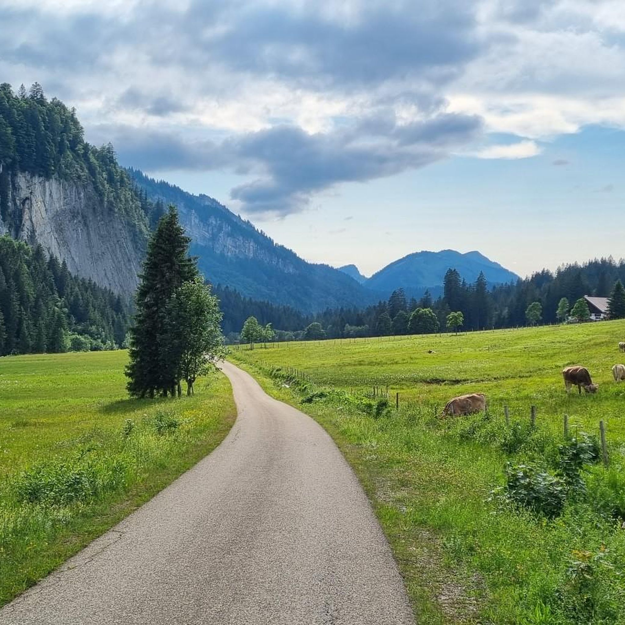
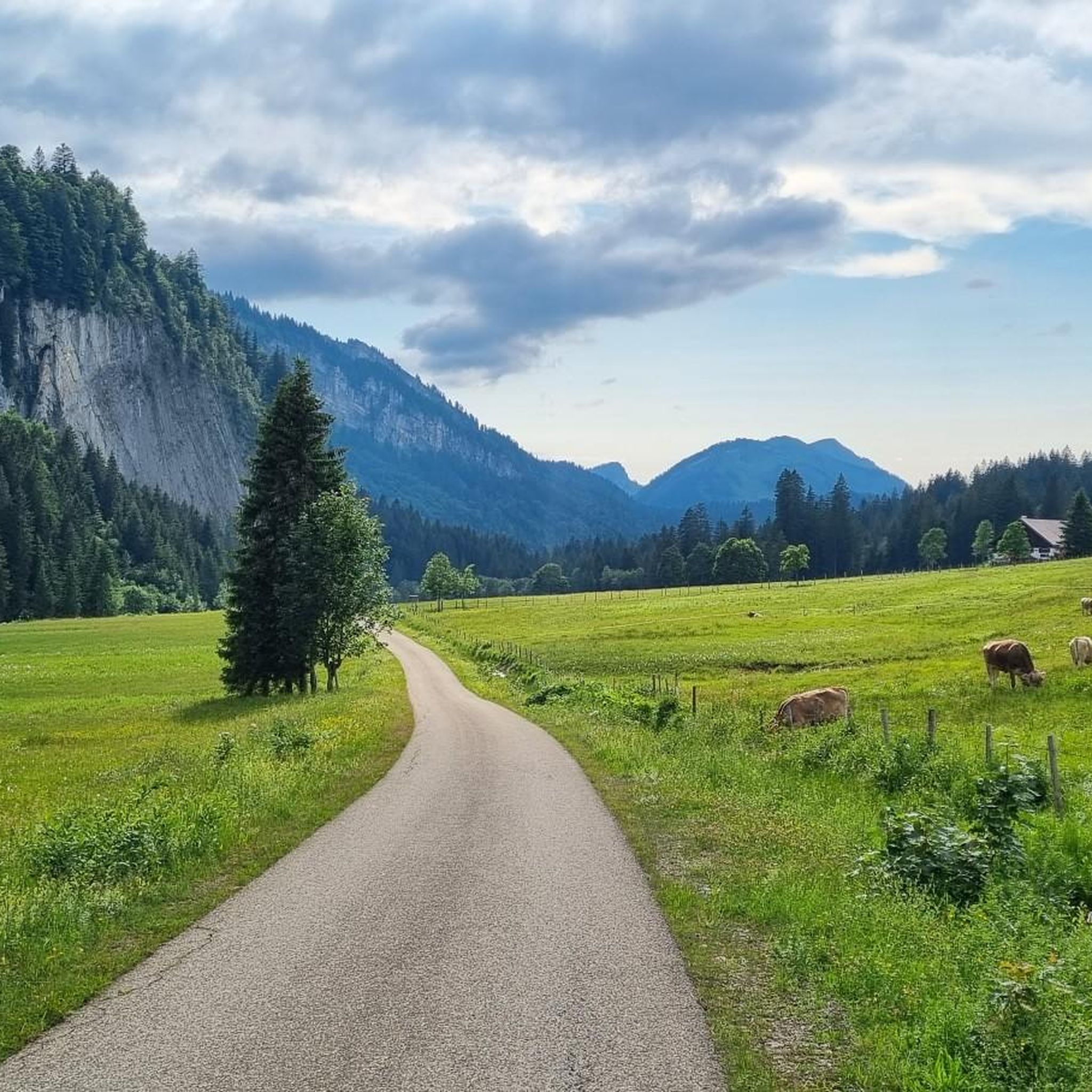
The terrain for touring cycling in Hoher Ifen is quite varied. You can expect routes that traverse lush valley floors, ascend through shady mountain forests, and open up to expansive alpine meadows. While the immediate Hoher Ifen massif and Gottesacker Plateau are rugged and more suited for hiking or mountain biking, the broader Kleinwalsertal region offers well-suited paths for touring, often featuring hilly sections that provide scenic views.
What are the typical distances and elevation gains for touring cycling routes in Hoher Ifen?
Distances for touring cycling routes in Hoher Ifen vary significantly. You can find shorter routes like the Breitach Suspension Bridge – Breitach Bridge in Riezlern loop from Riezlern, which is about 9.3 miles (15 km) with around 200 meters of elevation gain. Longer, more challenging routes, such as the Herzsee (Heart Lake) – Melköde Alp loop from Riezlern, can extend to 28.0 miles (45 km) with over 1,100 meters of climbing.
Are there family-friendly touring cycling routes in Hoher Ifen?
Yes, Hoher Ifen offers family-friendly touring cycling options, particularly in the valley areas and lower elevations of the Kleinwalsertal. These routes tend to be less strenuous, allowing for a more relaxed pace suitable for families. Look for routes categorized as 'easy' or 'moderate' for the best family experience.
What natural features and landmarks can I see along the touring cycling routes?
While cycling, you'll be treated to views of the distinctive Hoher Ifen massif and the unique karst formations of the Gottesacker Plateau. You might also pass through the tranquil Schwarzwassertal valley with its ancient moors. Notable landmarks and viewpoints include the Summit Cross of Hoher Ifen (visible from many routes), the Hahnenköpfle Summit, and the Rohrmoos Saddle (1,120 m). The View of the Allgäu Mountains – Rohrmoos Valley loop from Rohrmoos specifically highlights scenic mountain views.
What is the best time of year for touring cycling in Hoher Ifen?
The best time for touring cycling in Hoher Ifen is generally from late spring through early autumn (May to October). During these months, the weather is typically milder, and the routes are free of snow. Summer offers lush green landscapes, while autumn provides stunning fall foliage. Always check local weather conditions before heading out, as mountain weather can change rapidly.
Are there places to eat or drink along the touring cycling routes?
Yes, the Kleinwalsertal region, which encompasses Hoher Ifen, has various cafes, restaurants, and traditional alpine huts (Alpen) where you can stop for refreshments. Many routes are designed to pass by these establishments, offering opportunities to refuel and enjoy local cuisine. For instance, the 'Kleiner Grenzverkehr' mountain bike tour, which shares some terrain with touring routes, features refreshment stops.
What do other touring cyclists enjoy most about cycling in Hoher Ifen?
The touring cycling experience in Hoher Ifen is highly rated by the komoot community, with an average score of 4.5 stars from over 7,000 reviews. Cyclists often praise the diverse alpine scenery, the well-maintained paths, and the variety of routes that cater to different fitness levels. The panoramic views of the Allgäu and Kleinwalsertal are frequently highlighted as a major draw.
Is public transport available to access touring cycling routes in Hoher Ifen?
Yes, the Kleinwalsertal region is well-connected by public transport, making it possible to access various starting points for touring cycling routes. Buses often run through the main towns like Riezlern and provide access to different parts of the valley. This allows for flexible planning, including one-way rides or reaching trailheads without a car.
Where can I find parking for touring cycling routes in Hoher Ifen?
Parking is generally available at various points throughout the Kleinwalsertal, especially in and around the main villages like Riezlern and Rohrmoos, which serve as common starting points for many touring cycling routes. Look for designated parking areas near trailheads or town centers. Some routes, such as the View of the Allgäu Mountains – Rohrmoos Valley loop from Rohrmoos, start directly from areas with parking facilities.
Most popular routes in Hoher Ifen
Most popular attractions in Hoher Ifen

Get inspired with the komoot mobile app


Explore more
Browse the best Cycling routes in other regions.
