Taufach- Und Fetzachmoos Mit Urseen
Taufach- Und Fetzachmoos Mit Urseen
The best road cycling routes in Taufach- Und Fetzachmoos Mit Urseen
4.5
(610)
8,592
riders
425
rides
Road cycling routes in Taufach- Und Fetzachmoos Mit Urseen traverse a unique moorland landscape in the Württemberg Allgäu. The region features expansive moorlands, including diverse vegetation and serene lakes such as the Großer Ursee and Kleiner Ursee, which originated from kettle holes. Road cyclists can find less-trafficked side roads and cycle paths, offering varied terrain within a hilly landscape. This area provides a network of routes through natural features like the Badsee and different stages of moor development.
Best road…
Last updated: July 12, 2026
4.8
(8)
97
riders
73.2km
03:36
880m
880m
Moderate road ride. Good fitness required. Some segments of this route may be unpaved and difficult to ride.
4.0
(8)
96
riders
Moderate road ride. Great for any fitness level. Some segments of this route may be unpaved and difficult to ride.

Sign up for free
4.0
(3)
31
riders
Moderate road ride. Great for any fitness level. Some segments of this route may be unpaved and difficult to ride.
23
riders
Moderate road ride. Great for any fitness level. Some segments of this route may be unpaved and difficult to ride.
15
riders
Moderate road ride. Great for any fitness level. Some segments of this route may be unpaved and difficult to ride.
Get access to more routes and recommendations from other explorers.
Sign up for free
Already have an account?
Our route recommendations are based on thousands of hikes, rides, and runs completed by other people on komoot.
Start today with a free account
Your next adventure awaits.
Login or Signup

Tips from the Community

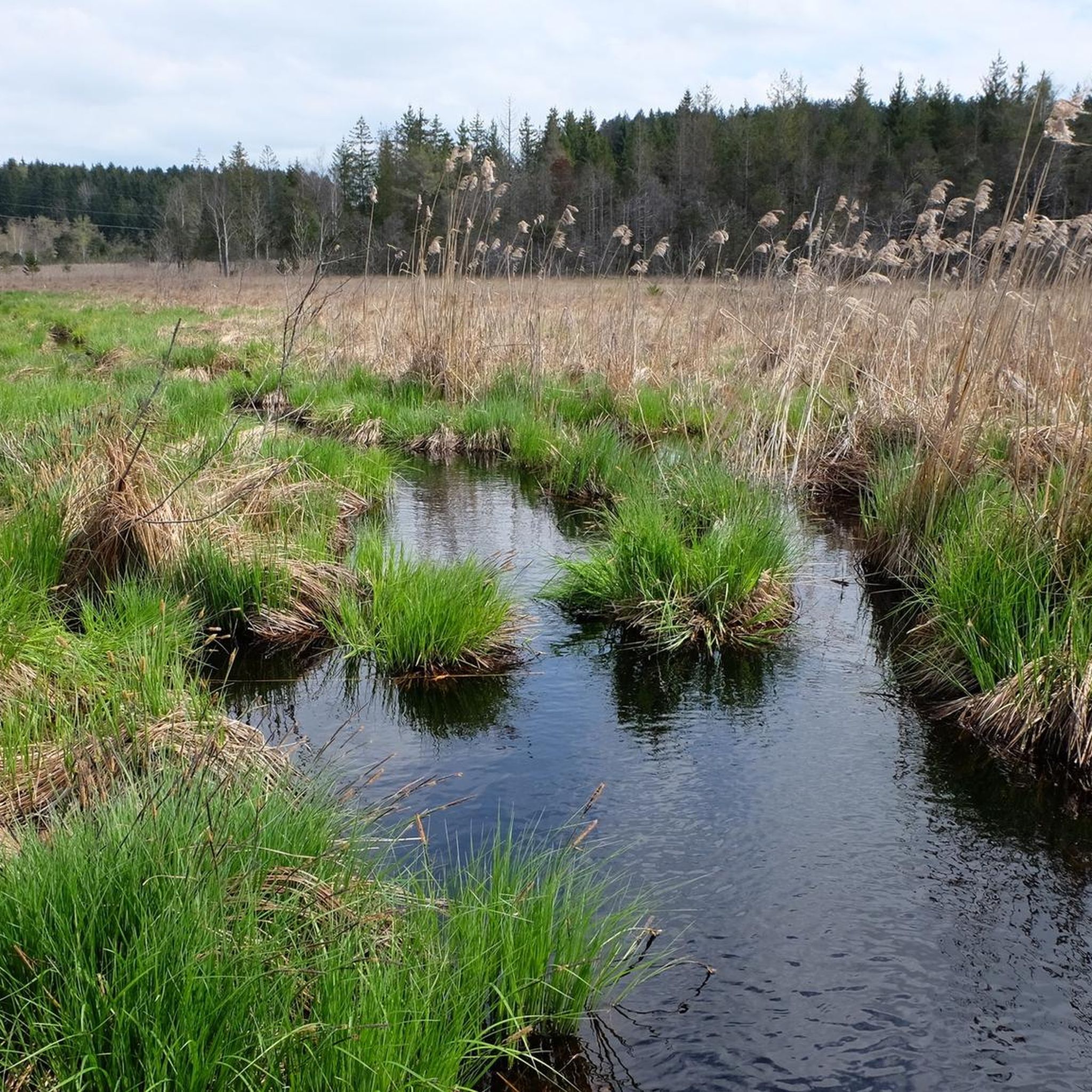
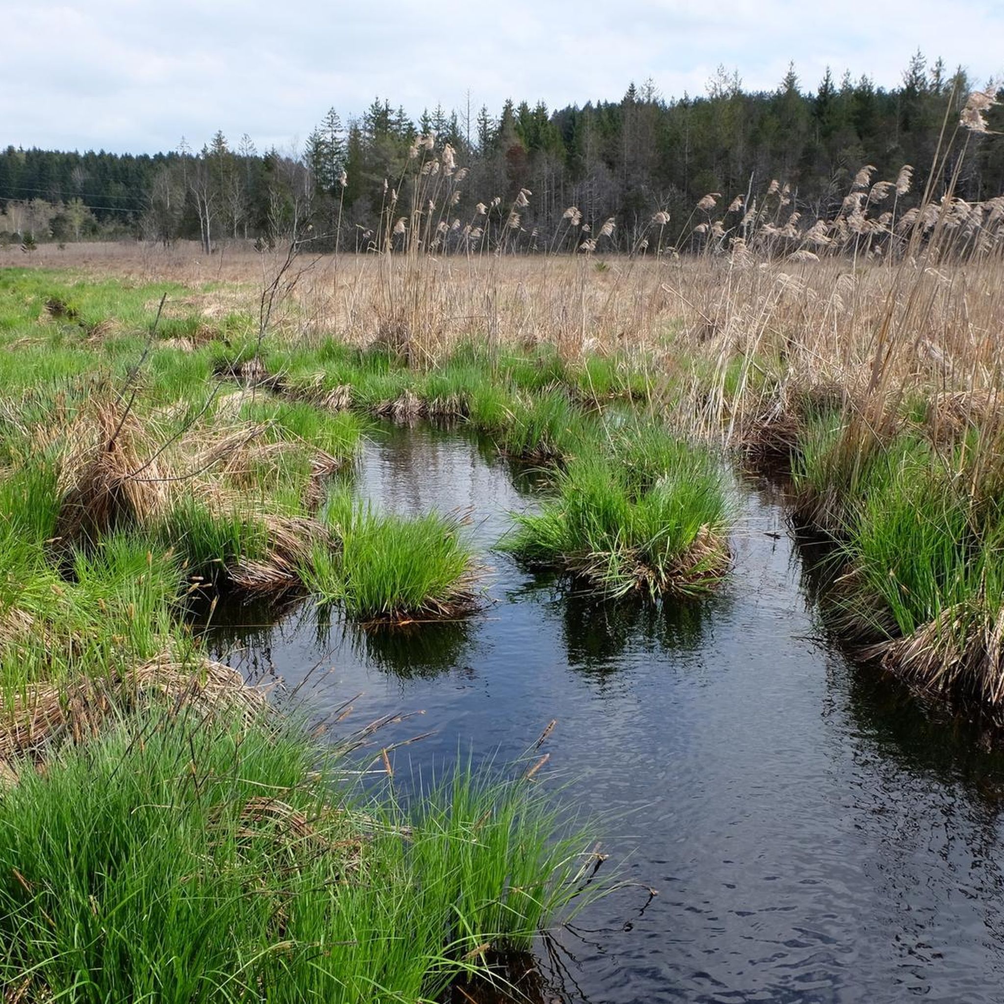
A beautifully situated pond with two benches that invite you to take a break.
0
0

Worth it and very tasty food
1
0
Nice bench to rest
1
0

In Germany, it is very rare – at least in my experience – to come across a shrine dedicated to the Mother of God that bears the name "LA SALETTE" as its patron saint. Many visitors will therefore be unfamiliar with the name. The original Marian shrine referred to here – between Engerazhofen and Engelboldshofen – is located in the French Alps (Grenoble district) and is an important Marian shrine, even if it has not achieved the same level of fame as other pilgrimage sites honoring the Mother of God, such as Lourdes in the French Pyrenees or Fatima in Portugal. The Marian shrine of "La Salette" is, of course, also included in the komoot system. It can be visited – at least virtually – at the following link. If you are interested, see =>> https://www.komoot.com/de-de/highlight/1861054
0
0
Frequently Asked Questions
What kind of terrain can I expect on road cycling routes in Taufach- und Fetzachmoos mit Urseen?
The region offers a varied landscape, characterized by the "hügligen Landschaft des Württembergischen Allgäus" (hilly landscape of the Württemberg Allgäu). You'll find routes on less-trafficked side roads and cycle paths that traverse expansive moorlands, serene lakes, and diverse vegetation. While some routes are leisurely, others, like the "Radtour um Isny mit Kugel," can include a "heftige Abfahrt" (steep descent), indicating a mix of gentle and more challenging sections.
How many road cycling routes are available in Taufach- und Fetzachmoos mit Urseen?
There are over 400 road cycling routes available in Taufach- und Fetzachmoos mit Urseen. These include a wide range of options, with 109 easy routes, 283 moderate routes, and 37 difficult routes, catering to various skill levels.
What natural features and landmarks can I see while road cycling in the region?
Road cycling routes often pass through the unique moorland landscape, offering views of the Taufach and Fetzachmoos Nature Reserve. You can also glimpse the picturesque Großer Ursee and Kleiner Ursee, which are ancient lakes formed from kettle holes. The area also features a significant Flood Retention Basin, which is a point of interest.
What is the best time of year for road biking in Taufach- und Fetzachmoos mit Urseen?
The region is generally pleasant for road cycling from spring through autumn. The nearby Badsee warms up quickly in summer, suggesting good weather for outdoor activities. The moor landscape is particularly beautiful when in full bloom, making late spring and summer ideal for scenic rides.
Are there any family-friendly road cycling routes in Taufach- und Fetzachmoos mit Urseen?
Yes, the region offers routes suitable for families, particularly those described as "Genusstour auf wenig befahrenen Nebenstraßen und Radwegen" (leisurely tours on less-trafficked side roads and cycle paths). Many of the 109 easy routes are ideal for families looking for a relaxed ride through the scenic landscape.
Can I bring my dog on road cycling routes in Taufach- und Fetzachmoos mit Urseen?
While the nature reserve is popular for walks, specific rules for dogs on road cycling routes are not explicitly stated. It's generally advisable to keep dogs on a leash, especially in nature reserves like Taufach- und Fetzachmoos mit Urseen, to protect the fragile ecosystem and wildlife. Always check local signage for any specific restrictions.
What do other road cyclists enjoy most about road cycling in Taufach- und Fetzachmoos mit Urseen?
The area is highly rated by the komoot community, with an average score of 4.5 stars from over 500 reviews. Reviewers often praise the unique moorland landscapes, the serene lakes, and the opportunity for peaceful rides on less-trafficked side roads through the hilly Allgäu terrain.
Are there any specific routes that offer beautiful views?
Many routes in the "hügligen Landschaft des Württembergischen Allgäus" offer "schöne Aussichten" (beautiful views). For instance, the Eschach Valley – View of the Eschacher Weiher loop from Urlau provides scenic vistas of the Eschach Valley. You can also find viewpoints like the Bench with a field cross and a view of the Taufach-Fetzach Moor along some trails.
Where can I find parking for road cycling in Taufach- und Fetzachmoos mit Urseen?
While specific parking locations for road cyclists are not detailed, the region is well-known for outdoor activities, suggesting that parking facilities are available near popular access points or trailheads. It's recommended to check maps or local information for designated parking areas before your visit.
Is public transport available to access road cycling routes in the region?
The region is generally accessible, but specific public transport options for reaching road cycling routes directly are not extensively detailed. It's advisable to research local bus or train services that connect to towns like Isny im Allgäu or Urlau, from where you can start your cycling tours.
Are there any cafes or pubs along the road cycling routes in Taufach- und Fetzachmoos mit Urseen?
The region is part of the Allgäu, which is known for its hospitality. While specific cafes or pubs directly on the routes are not listed, towns and villages within and around the Taufach- und Fetzachmoos mit Urseen area, such as Urlau or Isny, will offer various options for refreshments and meals for cyclists.
What is a good moderate route to explore the area?
A great moderate option is the Historic centre of Urlau – Quiet Road in Allgäu loop from Taufach- und Fetzachmoos mit Urseen. This 33.4 km route utilizes quiet roads through the Allgäu and passes by the historic center of Urlau, offering a pleasant ride without extreme difficulty.
Are there any long-distance road cycling routes available?
For those seeking a longer ride, the Eschach Valley – View of the Eschacher Weiher loop from Urlau is a substantial option. This moderate route spans 73.3 km and takes approximately 3 hours and 37 minutes to complete, offering extensive views of the Eschach Valley and the hilly Allgäu landscape.
Most popular routes in Taufach- Und Fetzachmoos Mit Urseen
Most popular attractions in Taufach- Und Fetzachmoos Mit Urseen

Get inspired with the komoot mobile app


Explore more
Browse the best Road cycling routes in other regions.
