Landschaftsschutzgebiet Schurwaldrand Altbach-Plochingen-Reichenbach
Landschaftsschutzgebiet Schurwaldrand Altbach-Plochingen-Reichenbach
The best running trails in Landschaftsschutzgebiet Schurwaldrand Altbach-Plochingen-Reichenbach
4.4
(1855)
22,982
runners
1,019
runs
Jogging in Landschaftsschutzgebiet Schurwaldrand Altbach-Plochingen-Reichenbach offers diverse terrain for runners. The region is characterized by the natural hillside forests of the Schurwald, which slope towards the Neckar and Fils valleys. This landscape provides a mix of ascents and descents, including distinctive Schurwald ravines and extensive scattered fruit orchards. The Baltmannsberg, a prominent hill, contributes to the varied topography within the area.
Best jogging routes in Landschaftsschutzgebiet Schurwaldrand Altbach-Plochingen-Reichenbach
- The most popular jogging route is Small Rapids in the Neckar –…
Last updated: July 15, 2026
4.2
(12)
305
runners
Hard run. Very good fitness required. Mostly paved surfaces. Suitable for all skill levels.
56
runners
10.9km
01:08
70m
70m
Moderate run. Good fitness required. Mostly paved surfaces. Suitable for all skill levels.

Sign up for free
5.0
(2)
44
runners
Moderate run. Good fitness required. Mostly paved surfaces. Suitable for all skill levels.
3.0
(1)
46
runners
4.89km
00:31
80m
80m
Easy run. Great for any fitness level. Mostly paved surfaces. Suitable for all skill levels.
4.9
(8)
305
runners
Moderate run. Good fitness required. Mostly paved surfaces. Suitable for all skill levels.
Get access to more routes and recommendations from other explorers.
Sign up for free
Already have an account?
Our route recommendations are based on thousands of hikes, rides, and runs completed by other people on komoot.
Start today with a free account
Your next adventure awaits.
Login or Signup
Popular around Landschaftsschutzgebiet Schurwaldrand Altbach-Plochingen-Reichenbach
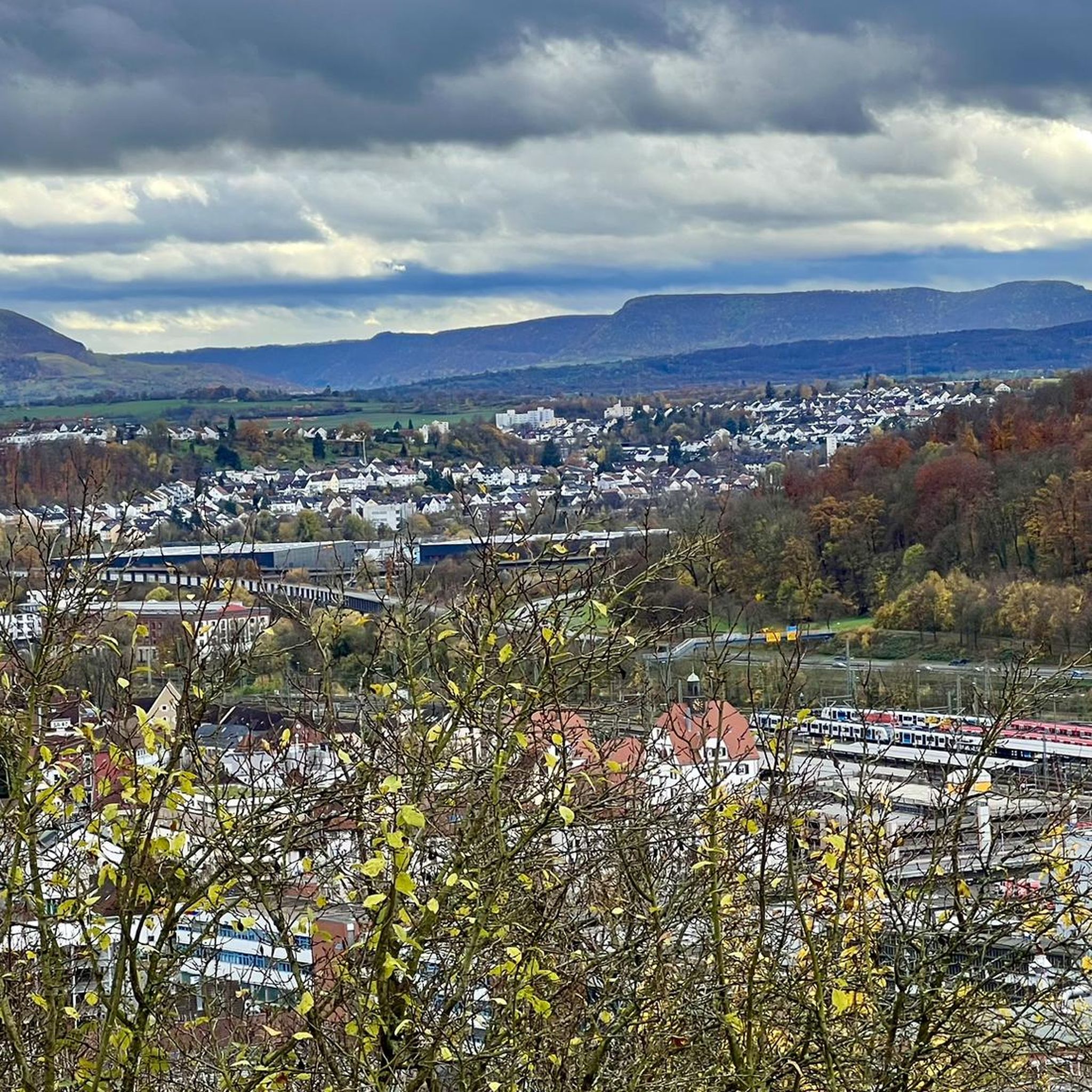
Cycling in Landschaftsschutzgebiet Schurwaldrand Altbach-Plochingen-Reichenbach
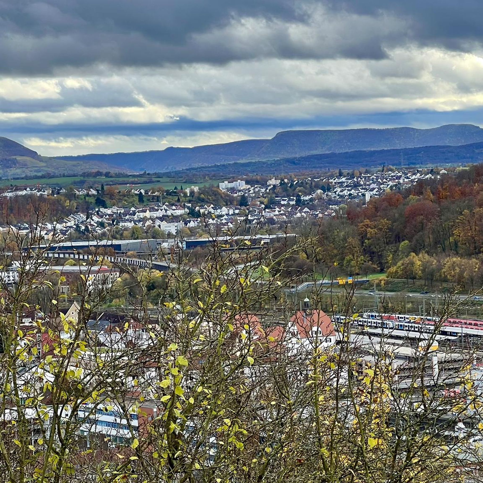
Road Cycling Routes in Landschaftsschutzgebiet Schurwaldrand Altbach-Plochingen-Reichenbach
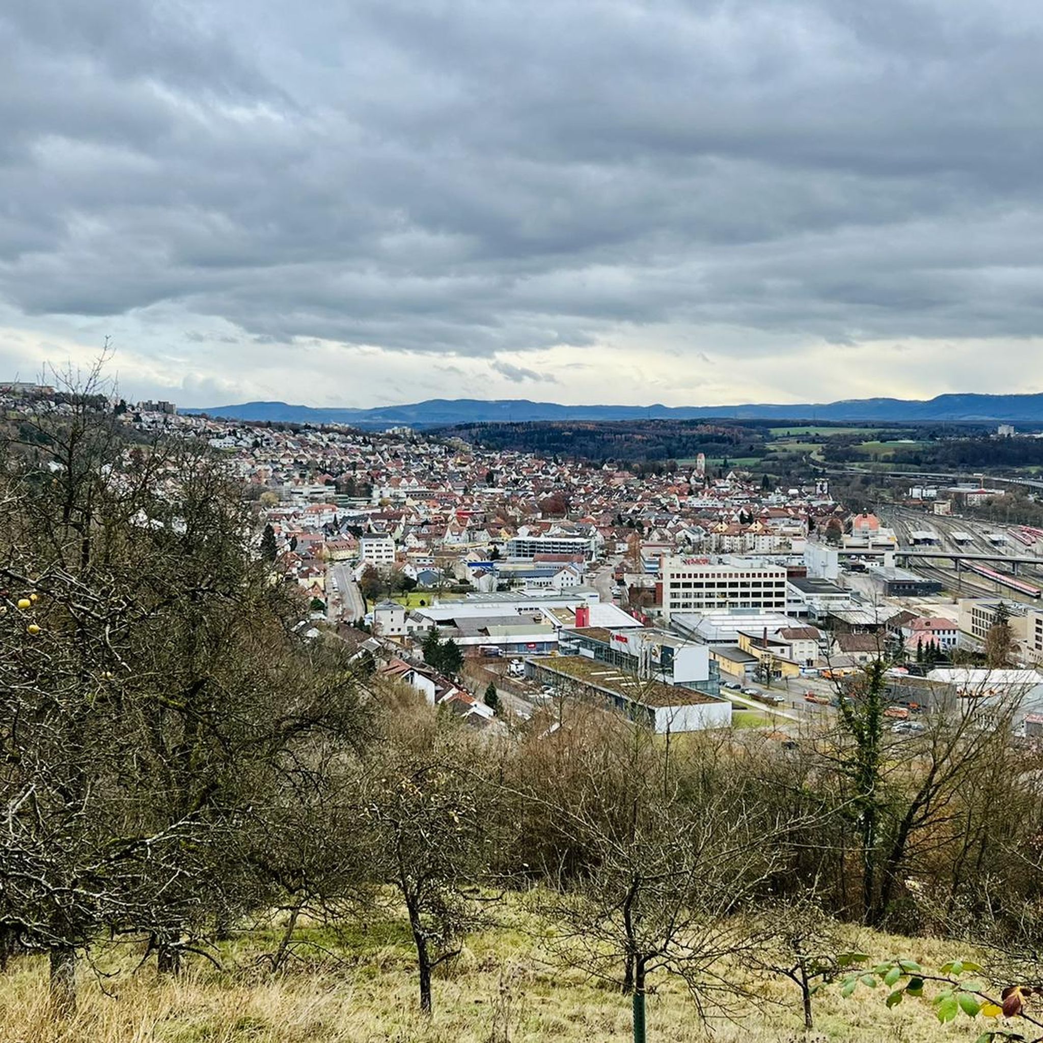
MTB Trails in Landschaftsschutzgebiet Schurwaldrand Altbach-Plochingen-Reichenbach
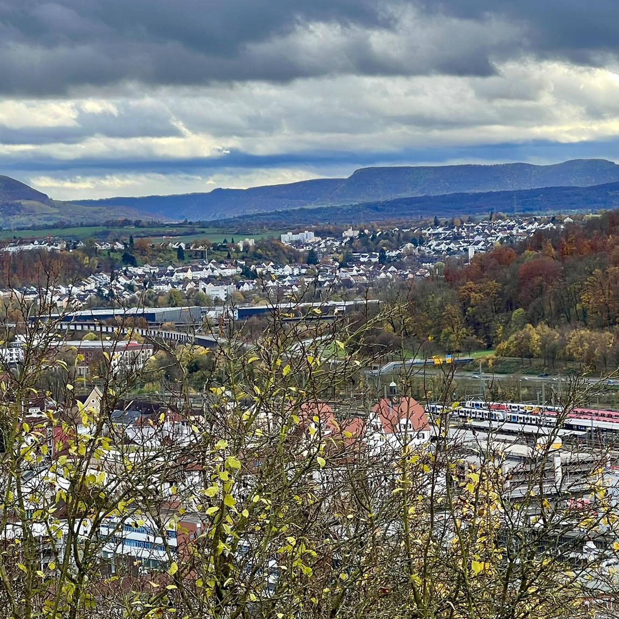
Hiking in Landschaftsschutzgebiet Schurwaldrand Altbach-Plochingen-Reichenbach

Gravel biking in Landschaftsschutzgebiet Schurwaldrand Altbach-Plochingen-Reichenbach
Tips from the Community


Those who are interested will find it great
0
0

Recently reopened, with new operator and new opening hours: Monday: Closed Tuesday - Friday: 14:00 - 21:30 Saturday: 11:30 -21:30 Sunday: 10:30 - 20:30
0
0

Beautifully landscaped park on the Neckar riverbank with Villa Merkel and the old gardener's house. But the old trees and the art objects are also worth seeing.
0
0

Merkelpark is always worth a trip
0
0
Merkelpark with a view of the Neckar
0
0

Throughout the country, you can find such gauging stations along the larger rivers.
0
0
Frequently Asked Questions
How many running routes are available in Landschaftsschutzgebiet Schurwaldrand Altbach-Plochingen-Reichenbach?
There are over 990 running routes in Landschaftsschutzgebiet Schurwaldrand Altbach-Plochingen-Reichenbach, offering a wide variety of options for all fitness levels. The region's diverse terrain, including hillside forests and ravines, ensures a unique experience for every runner.
What do other runners say about the trails in this region?
The running routes in Landschaftsschutzgebiet Schurwaldrand Altbach-Plochingen-Reichenbach are highly rated by the komoot community, with an average score of 4.4 stars from over 1600 reviews. More than 21,000 runners have explored the varied terrain, often praising the scenic beauty of the Schurwald ravines and extensive fruit orchards.
Are there running routes suitable for beginners or those looking for an easy jog?
Yes, the region offers a good selection of easier running routes. You'll find over 130 easy trails that are perfect for beginners or those seeking a relaxed jog through the picturesque landscape. These routes often feature gentler inclines and well-maintained paths.
What kind of terrain can I expect on the running trails here?
The terrain in Landschaftsschutzgebiet Schurwaldrand Altbach-Plochingen-Reichenbach is quite varied. You can expect a mix of ascents and descents through natural hillside forests of the Schurwald, distinctive Schurwald ravines, and extensive scattered fruit orchards. The Baltmannsberg, a prominent hill, also contributes to the diverse topography, providing a good workout for runners.
Can I find challenging running routes for experienced runners?
Absolutely. For experienced runners seeking a challenge, there are over 100 difficult routes available. One such demanding trail is the Plochingen Tawny Owl Sculpture – Jägerhaus loop from Plochingen, which covers 12.2 miles (19.6 km) and features significant elevation gain through forested areas.
Are there circular running routes in Landschaftsschutzgebiet Schurwaldrand Altbach-Plochingen-Reichenbach?
Yes, many of the running routes in the area are circular, allowing you to start and finish at the same point. An example is the Philips' Wooden Frog Sculpture loop from Plochingen, a 6.8-mile (10.9 km) trail that takes you through varied landscapes.
What natural features or landmarks can I see while jogging in the area?
While jogging, you can enjoy the distinctive Schurwald ravines and extensive scattered fruit orchards. You might also encounter unique natural monuments such as the Four Giant Sequoias near Gschlägwiese, Baltmannsweiler, or the ancient Old Bühleiche (Plochingen-Stumpenhof). The Landschaftsschutzgebiet Schurwaldrand Altbach-Plochingen-Reichenbach itself is a protected landscape, ensuring natural beauty.
Are there any running routes that follow the Neckar or Fils rivers?
Yes, the region's landscape slopes towards the Neckar and Fils valleys, offering routes that run alongside these rivers. A popular option is the Small Rapids in the Neckar – Gauge Facility on the Neckar loop from Plochingen, a 7.2-mile (11.6 km) trail that provides pleasant riverside views.
Are the running trails in Landschaftsschutzgebiet Schurwaldrand Altbach-Plochingen-Reichenbach suitable for families?
Many of the easier and moderate routes are suitable for families, especially those with older children. The diverse natural features like fruit orchards and ravines can make for an engaging experience. For specific family-friendly options, look for routes marked as 'easy' or 'moderate' on komoot.
Can I bring my dog on the running trails?
Generally, dogs are welcome on trails in natural areas like Landschaftsschutzgebiet Schurwaldrand Altbach-Plochingen-Reichenbach, provided they are kept on a leash and you adhere to local regulations regarding protected landscapes and wildlife. It's always a good idea to check specific route details for any restrictions.
What is the best time of year for running in this region?
The region is enjoyable for running throughout much of the year. Spring and autumn offer pleasant temperatures and beautiful scenery with blooming orchards or colorful foliage. Summer is also great, especially for shaded forest trails. Even in winter, some routes can be suitable, though conditions may vary.
Are there any viewpoints along the running trails?
Given the varied topography and prominent hills like the Baltmannsberg, many routes offer scenic viewpoints. While specific viewpoints aren't detailed for every route, the elevation changes and natural clearings often provide expansive views over the valleys and surrounding landscape. Look for routes with higher elevation gain for the best chances of panoramic vistas.
Where can I find parking for the running routes?
Parking is generally available near the starting points of many routes, particularly in towns like Plochingen, Altbach, and Reichenbach. Since the area is a recreational space, local communities often provide designated parking areas for visitors accessing the trails. Specific parking information can often be found in the route descriptions on komoot.
Most popular routes in Landschaftsschutzgebiet Schurwaldrand Altbach-Plochingen-Reichenbach
Most popular attractions in Landschaftsschutzgebiet Schurwaldrand Altbach-Plochingen-Reichenbach

Get inspired with the komoot mobile app


Explore more
Browse the best Running Trails & Routes in other regions.
