Landschaftsschutzgebiet Schurwaldrand Altbach-Plochingen-Reichenbach
Landschaftsschutzgebiet Schurwaldrand Altbach-Plochingen-Reichenbach
The best road cycling routes in Landschaftsschutzgebiet Schurwaldrand Altbach-Plochingen-Reichenbach
4.6
(1527)
24,548
riders
362
rides
Road cycling routes in Landschaftsschutzgebiet Schurwaldrand Altbach-Plochingen-Reichenbach traverse a landscape characterized by river valleys, rolling hills, and forested areas. The region offers varied terrain suitable for road cyclists, from flatter sections along the Neckar River to more undulating paths through the Schurwald foothills. Elevation gains are generally moderate, with some routes featuring sustained climbs. The area provides a network of paved roads and dedicated cycle paths connecting towns like Altbach, Plochingen, and Reichenbach.
Best road cycling routes in Landschaftsschutzgebiet Schurwaldrand…
Last updated: July 17, 2026
4.7
(47)
385
riders
45.5km
01:55
270m
270m
Moderate road ride. Great for any fitness level. Some segments of this route may be unpaved and difficult to ride.
4.1
(14)
194
riders
Easy road ride. Great for any fitness level. Mostly well-paved surfaces and easy to ride.

Sign up for free
4.6
(7)
176
riders
48.3km
02:03
160m
160m
Moderate road ride. Good fitness required. Some segments of this route may be unpaved and difficult to ride.
4.3
(3)
120
riders
Moderate road ride. Good fitness required. Some segments of this route may be unpaved and difficult to ride.
4.4
(11)
105
riders
Moderate road ride. Good fitness required. Mostly well-paved surfaces and easy to ride.
Get access to more routes and recommendations from other explorers.
Sign up for free
Already have an account?
Our route recommendations are based on thousands of hikes, rides, and runs completed by other people on komoot.
Start today with a free account
Your next adventure awaits.
Login or Signup
Popular around Landschaftsschutzgebiet Schurwaldrand Altbach-Plochingen-Reichenbach
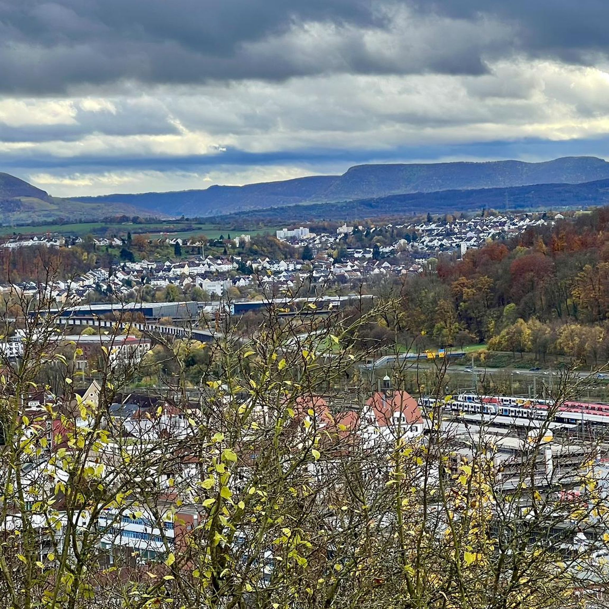
Cycling in Landschaftsschutzgebiet Schurwaldrand Altbach-Plochingen-Reichenbach
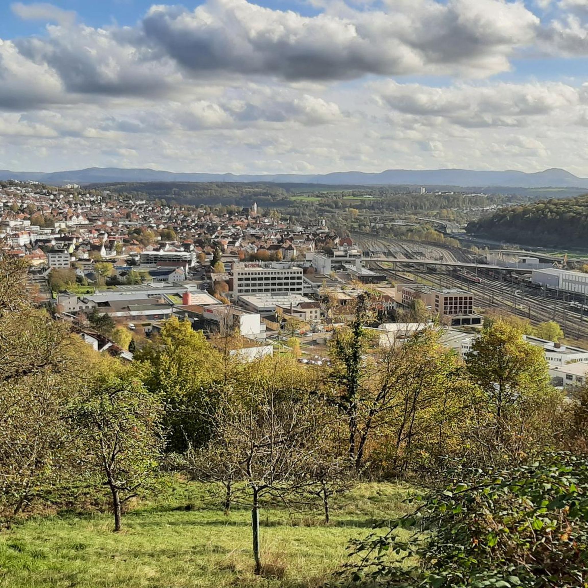
Running Trails in Landschaftsschutzgebiet Schurwaldrand Altbach-Plochingen-Reichenbach
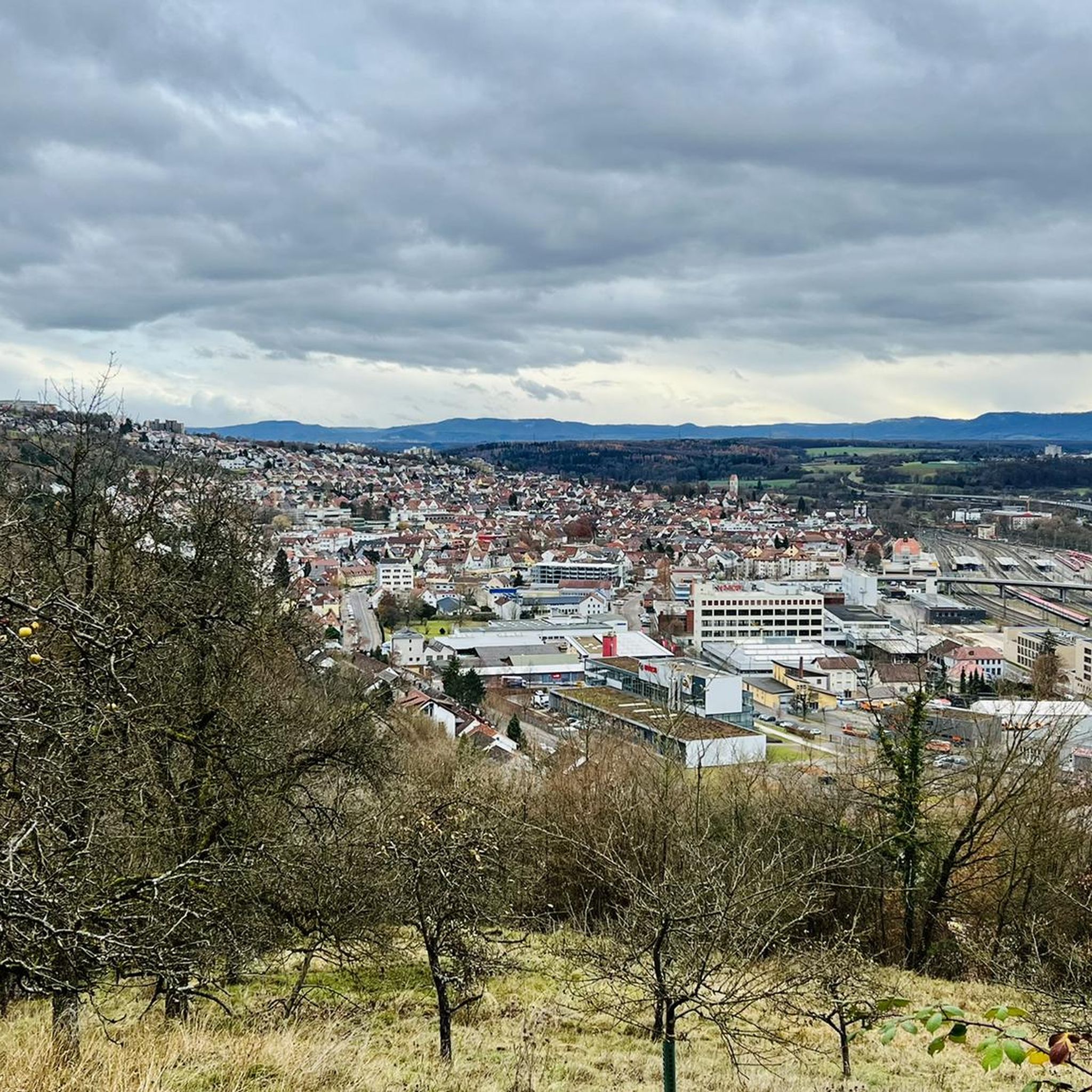
MTB Trails in Landschaftsschutzgebiet Schurwaldrand Altbach-Plochingen-Reichenbach
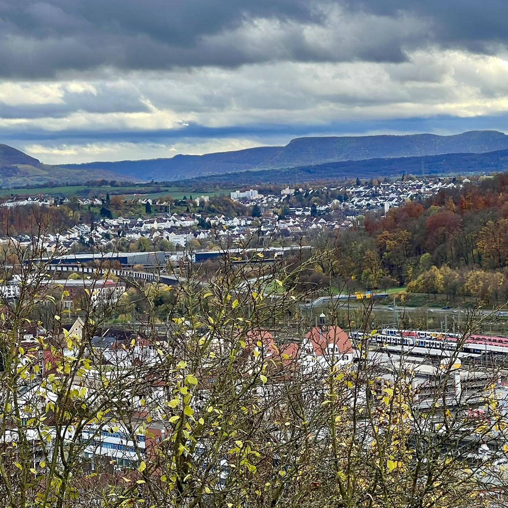
Hiking in Landschaftsschutzgebiet Schurwaldrand Altbach-Plochingen-Reichenbach

Gravel biking in Landschaftsschutzgebiet Schurwaldrand Altbach-Plochingen-Reichenbach
Tips from the Community

When the Neckar carries a lot of water in spring, it can already roar and foam violently.
2
0

This cycle path from the Panzerkaserne to Schönaich also runs parallel to the main road, always along the barracks fence
4
0

House- Bridge over the Neckar side arm
0
0

It's always good when there's a bridge...
4
0
Frequently Asked Questions
How many road cycling routes are available in Landschaftsschutzgebiet Schurwaldrand Altbach-Plochingen-Reichenbach?
There are over 360 road cycling routes in the Landschaftsschutzgebiet Schurwaldrand Altbach-Plochingen-Reichenbach region, offering a wide variety of options for different skill levels and preferences.
What is the best time of year for road cycling in this region?
The best time for road cycling in Landschaftsschutzgebiet Schurwaldrand Altbach-Plochingen-Reichenbach is generally from spring to autumn. Summer offers warm conditions, while spring and autumn provide pleasant temperatures and beautiful scenery, especially with the changing foliage. Always check local weather forecasts before heading out.
Are there easy road cycling routes suitable for beginners or families?
Yes, the region offers several easy road cycling routes. A great option for a relaxed ride is the Neckarinsel Pedestrian Bridge – Heinrich-Mayer-Park loop from Plochingen, which follows the Neckar River and is relatively flat, making it ideal for beginners or families.
Are there challenging road cycling routes in Landschaftsschutzgebiet Schurwaldrand Altbach-Plochingen-Reichenbach?
For those seeking a challenge, the region provides routes with more significant elevation gains. The Waldenbuch Old Town – Römerstraße Cycle Superhighway loop from Plochingen is a longer, moderate route that includes sustained climbs, offering a good workout and rewarding views.
Can I find circular road cycling routes in the area?
Yes, many of the road cycling routes in Landschaftsschutzgebiet Schurwaldrand Altbach-Plochingen-Reichenbach are designed as loops. For instance, the popular View of Burg Teck – View of Burg Teck loop from Plochingen offers a scenic circular tour with varied terrain.
What scenic viewpoints or natural attractions can I discover along the road cycling routes?
The region is rich in natural beauty. Along your rides, you might encounter highlights such as the Four Giant Sequoias near Gschlägwiese, Baltmannsweiler, or the serene Schachenbach Stream and Schachen Forest. These natural monuments and forested areas offer picturesque stops.
Are there road cycling routes with low traffic in the region?
Many routes in the Landschaftsschutzgebiet Schurwaldrand Altbach-Plochingen-Reichenbach utilize dedicated cycle paths and quieter country roads, especially those away from major towns. Routes that traverse through the Schurwald foothills often provide a more tranquil cycling experience with less vehicle traffic.
What do other road cyclists enjoy the most about road cycling in Landschaftsschutzgebiet Schurwaldrand Altbach-Plochingen-Reichenbach?
The area is highly rated by the komoot community, with an average score of 4.5 stars from over 1400 reviews. Reviewers often praise the varied terrain, from flat river paths to rolling hills, and the beautiful natural landscapes, including views towards landmarks like Burg Teck.
Are there any routes that connect to nearby towns or points of interest?
Absolutely. Many routes are designed to connect different towns and attractions. For example, the Scenic Road Cycling Route – Neckar Bridge in Nürtingen loop from Altbach leads through riverine landscapes and connects to Nürtingen, allowing you to explore beyond the immediate area.
What are the typical distances and durations for road cycling routes here?
Route distances vary significantly, from shorter, easy rides around 12 miles (20 km) like the Neckarinsel Pedestrian Bridge – Heinrich-Mayer-Park loop, to longer, more challenging tours exceeding 55 miles (90 km), such as the Waldenbuch Old Town – Römerstraße Cycle Superhighway loop. Durations range from under 2 hours to over 4 hours, depending on the route and your pace.
Are there places to stop for refreshments or cafes along the road cycling routes?
Yes, as the routes often pass through or near towns like Altbach, Plochingen, and Reichenbach, you'll find various opportunities for refreshments. Many villages along the way also have local cafes or bakeries where you can take a break and refuel.
Most popular routes in Landschaftsschutzgebiet Schurwaldrand Altbach-Plochingen-Reichenbach
Most popular attractions in Landschaftsschutzgebiet Schurwaldrand Altbach-Plochingen-Reichenbach

Get inspired with the komoot mobile app


Explore more
Browse the best Road cycling routes in other regions.
