The best mountain hikes in Michelbachtal (Lsg)
5.0
(4)
20
hikers
5
hikes
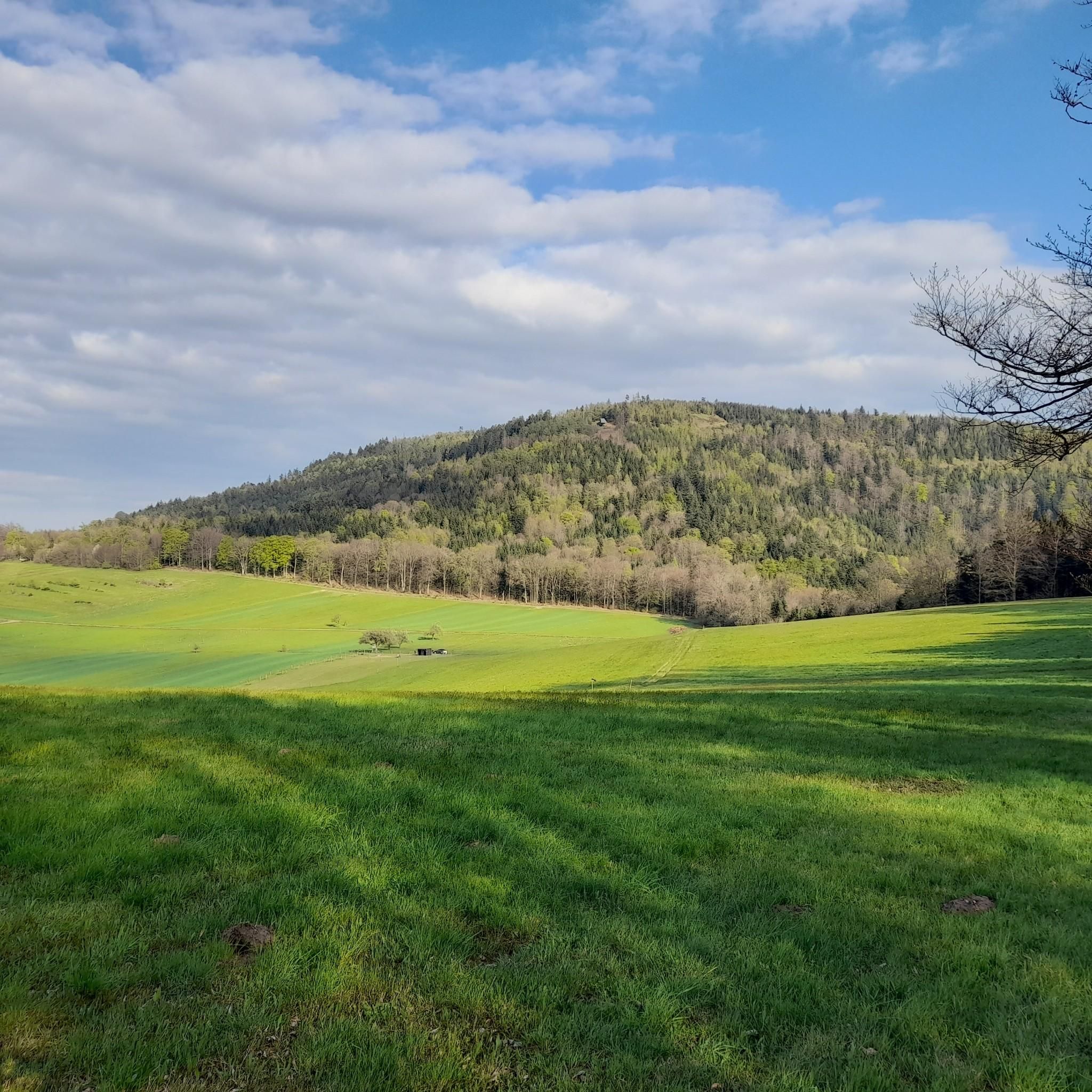
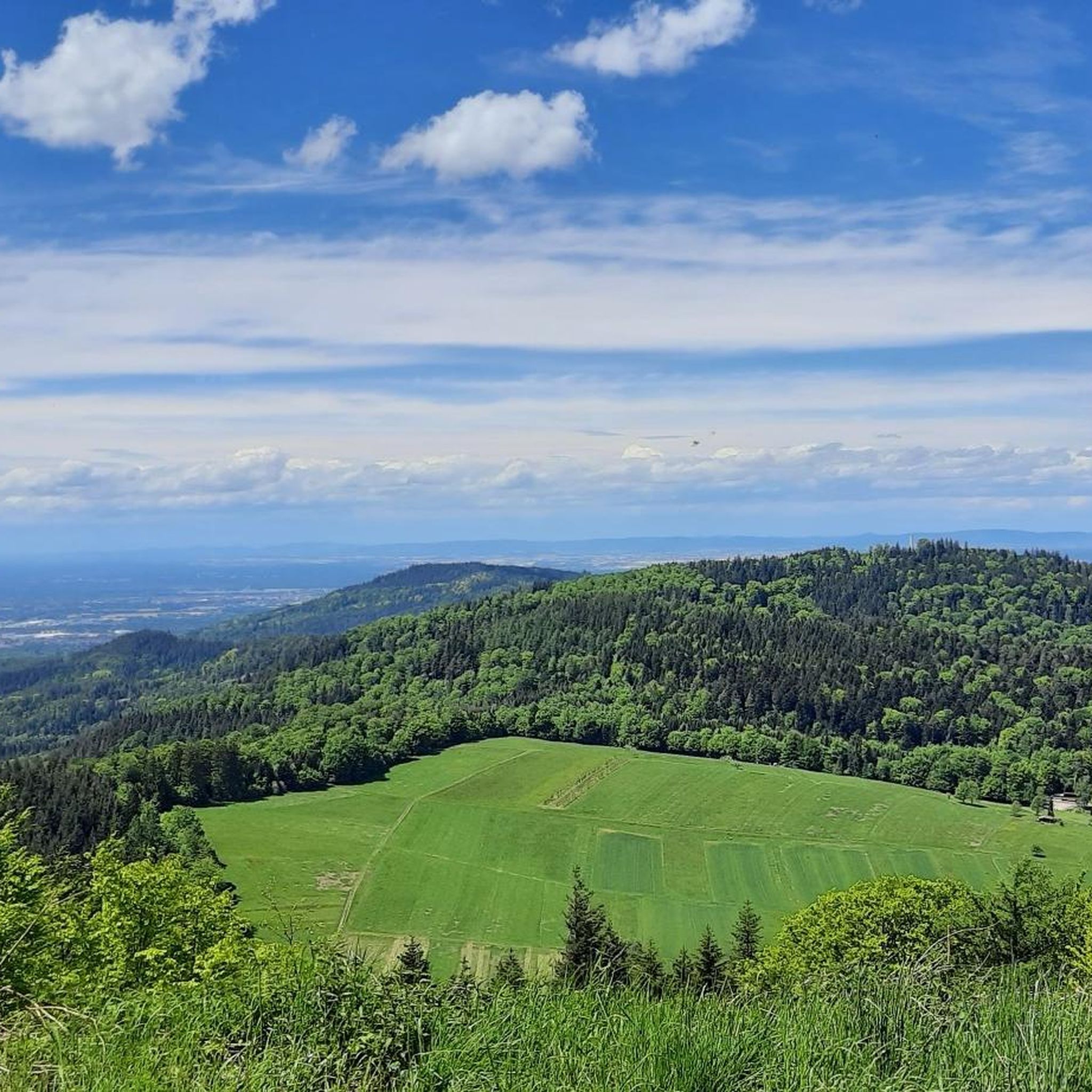
Mountaineering in Michelbachtal (Lsg) offers routes through varied terrain, characterized by dense woodlands and river valleys. The region features moderate elevation changes, with paths often traversing forested slopes and open areas. These mountaineering routes provide opportunities to explore the natural landscape of the Michelbachtal (Lsg) area. The trails are generally well-defined, suitable for those seeking a mix of forest and valley exploration.
Best mountaineering routes in Michelbachtal (Lsg)
- The most popular mountaineering route is Bad Herrenalb monastery ruins – Bad…
Last updated: July 5, 2026
1
hikers
Hard mountaineering route. Very good fitness required. Sure-footedness, sturdy shoes and alpine experience required.
1
hikers
Moderate mountaineering route. Good fitness required. Mostly accessible paths. Sure-footedness required.

Sign up for free
1
hikers
Moderate mountaineering route. Good fitness required. Easily-accessible paths. Suitable for all skill levels.
5.0
(2)
8
hikers
Moderate mountaineering route. Good fitness required. Mostly accessible paths. Sure-footedness required.
5.0
(2)
2
hikers
Moderate mountaineering route. Good fitness required. Mostly accessible paths. Sure-footedness required.
Our route recommendations are based on thousands of hikes, rides, and runs completed by other people on komoot.
Start today with a free account
Your next adventure awaits.
Login or Signup
Tips from the Community

Resembles an open-air museum. You can read all sorts of things about a legal dispute of the owner of this mill on large banners and collected newspaper clippings. If you want to read everything, you need to bring more time than I had.
0
0

Below this spot, an aircraft crashed on November 1, 1945, shortly after the end of the war. In the most severe air disaster ever to occur in our region, 26 American military personnel lost their lives. The aircraft was a Douglas C-47 (DC3) transport aircraft in its military version. It was put into service a year earlier and participated in "D-Day", the Normandy invasion, as a paratrooper transport. It had space for up to 32 people and was also known as a "raisin bomber" during the Berlin Airlift. On the day of the accident, 4 crew members and 26 U.S. Air Force soldiers were on board. They had been on vacation in London and were supposed to return to their units at the Oberschleißheim Air Force Base near Munich. Despite bad weather over the mainland, the 23-year-old pilot and his 22-year-old navigator decided to fly. Shortly after takeoff, the pilot had to climb above the cloud cover due to dense cloudiness and continue the flight using instruments. According to the navigator's calculations, a point near Augsburg should have been reached after 3 hours of flight, where the pilot could descend below the cloud cover and begin the approach using visual orientation. Due to strong headwinds, the calculated position was missed by more than 200 km. Consequently, the cloud cover was descended through north of Karlsruhe, and the navigator lost orientation. They followed the Rhine in a southwesterly direction until near Wintersdorf, a 90-degree correction was made to the original course towards Munich. The DC3 thus steered directly towards the 693-meter-high Bernstein. The pilot and navigator continued to try to determine the correct position from low altitude, which became increasingly difficult due to the approaching fog. Despite the dense fog, the silhouette of the aircraft was recognizable when flying over Michelbach. Around 4:30 PM, the aircraft crashed at an altitude of 620 meters, where it broke into several pieces and went up in flames after explosions. Many victims died because help arrived too late. That help arrived at all four hours after the accident is thanks to three survivors who, despite severe injuries, made their way to Sulzbach and Bernbach. Until now, only rumors had surrounded this event, and it eventually fell into oblivion.
5
0
Small bridge over the Alb as a connection between Schweizer Wiese and the Falkensteinfelsen, as well as a beautiful view of the water.
3
0
The spa park in the heart of the city is characterized by its historic trees and spacious green spaces, making it a place to recharge your batteries. Its design offers two atmospheres: a "classic" one with cultivated park meadows, and a "wildly romantic" one with blooming riverside and forest meadows. The two sections are connected by bridges over the renaturalized Alb River.
4
0
A hall church with a recessed, Gothic choir with a three-eighth-window end. The church hall has a barrel-vaulted wooden ceiling with a three-part trefoil arch. The porch (Paradise) was built around 1200, now a ruin. The Paradise was raised in 1462 (tracery), the choir was built in 1478, and the tower and nave were built in 1739 (after extensive damage). Remodeled in 1903 by Heinrich Dolmetsch, painted by Wörnle, and renovated in 1987/1988.
4
0
On the facade of the former monastery administration building is the stone sculpture "Devil of Herrenalb." The sculpture was donated in 1999 by the Gernsbach artist Rolf Michels for the premiere of the medieval open-air play "The Devil of Bad Herrenalb."
4
0
The monastery tavern, probably founded in 1148, is one of the oldest inns in southern Germany. At the entrance, there's a distinctive sign featuring a dragon figure.
4
0
The serving of Bad Herrenalb's healing waters at the drinking pavilion by the spa building has a long tradition. Thermal springs were suspected to exist in Bad Herrenalb long ago. In 1963, the healing waters were discovered at a depth of 600 meters during drilling on the Schweizer Wiese (Swiss Meadow). Construction of the drinking pavilion began in the summer of 1965, and by September of that year, the healing water was flowing from the taps. This allowed the first drinking cures to be offered.
5
0
Frequently Asked Questions
What is the general difficulty level of mountaineering routes in Michelbachtal (Lsg)?
The mountaineering routes in Michelbachtal (Lsg) are predominantly moderate, offering a good balance for most hikers. There is also one challenging route for those seeking a more strenuous experience. Currently, there are no easy routes listed for this area.
How long do mountaineering routes in Michelbachtal (Lsg) typically take to complete?
The duration of mountaineering routes in Michelbachtal (Lsg) varies. For example, the Bad Herrenalb Spa Park – Bad Herrenalb monastery ruins loop from Bad Herrenalb can be completed in about 4 hours 12 minutes, while the more challenging Bad Herrenalb monastery ruins – Bad Herrenalb Spa Park loop from Bad Herrenalb typically takes around 6 hours 44 minutes.
Are there any challenging mountaineering routes available in Michelbachtal (Lsg)?
Yes, for experienced mountaineers seeking a challenge, the Bad Herrenalb monastery ruins – Bad Herrenalb Spa Park loop from Bad Herrenalb is classified as difficult. This 13.2-mile (21.3 km) route features significant elevation gain.
Are the mountaineering routes in Michelbachtal (Lsg) suitable for beginners?
While there are no routes specifically rated as 'easy' in Michelbachtal (Lsg), many of the moderate routes, such as the Bernstein Hut (654 m) – Stone Cairns on the Alb River loop from Bad Herrenalb, could be suitable for beginners with a reasonable level of fitness. These routes offer diverse scenery through forested areas and river sections.
What kind of natural landmarks or points of interest can I see along the routes?
Along the mountaineering routes, you can discover several interesting natural landmarks. Notable spots include the Upper or Red Quarry and the Karl-Schwarz Spring (Source of the Michelbach). The Teufelsmühle Observation Tower – Teufelskammern Sandstone Caves loop from Loffenau route specifically passes by the Teufelskammern Sandstone Caves.
Are there any circular mountaineering routes in Michelbachtal (Lsg)?
Yes, many of the mountaineering routes in Michelbachtal (Lsg) are designed as loops. Examples include the View from the Teufelsmühle – Teufelsmühle Mountain Inn loop from Rißwasenhütte and the Teufelsmühle Observation Tower – Teufelskammern Sandstone Caves loop from Loffenau, allowing you to start and end at the same point.
What do other mountaineers say about the routes in Michelbachtal (Lsg)?
The mountaineering routes in Michelbachtal (Lsg) are highly regarded by the komoot community, holding an average rating of 5.0 stars from over 4 reviews. Mountaineers often praise the varied terrain, which includes dense woodlands and river valleys, and the well-defined paths that offer a mix of forest and valley exploration.
Are the mountaineering routes in Michelbachtal (Lsg) dog-friendly?
Michelbachtal (Lsg) is generally a welcoming region for dogs. Most trails traverse natural landscapes like forests and river valleys, which are usually suitable for well-behaved dogs on a leash. However, always check local regulations or specific route descriptions for any restrictions, especially around nature reserves or protected areas.
What is the best season for mountaineering in Michelbachtal (Lsg)?
The Michelbachtal (Lsg) region, with its dense woodlands and river valleys, is beautiful throughout spring, summer, and autumn. Spring offers blooming flora, summer provides lush greenery, and autumn showcases vibrant fall colors. While winter mountaineering is possible, conditions can be challenging with snow and ice, so appropriate gear and experience are essential.
Are there any historical sites or cultural landmarks along the mountaineering trails?
Yes, some routes pass by historical and cultural landmarks. For instance, the Bad Herrenalb Spa Park – Bad Herrenalb monastery ruins loop from Bad Herrenalb leads past the Bad Herrenalb monastery ruins. Additionally, the Historic Border Trail Between Württemberg and Baden is a notable point of interest in the region.
Where can I find parking or trailheads for mountaineering in Michelbachtal (Lsg)?
Many routes in Michelbachtal (Lsg) start from towns like Bad Herrenalb or Loffenau, which typically offer public parking facilities. For example, routes like the Bad Herrenalb monastery ruins – Bad Herrenalb Spa Park loop begin directly from Bad Herrenalb, making it a convenient starting point.
Most popular routes in Michelbachtal (Lsg)
Most popular attractions in Michelbachtal (Lsg)

Get inspired with the komoot mobile app


Explore more
Browse the best Mountain Hikes & Routes in other regions.
