The best mountain hikes in Kostgefäll
5.0
(1)
7
hikers
3
hikes
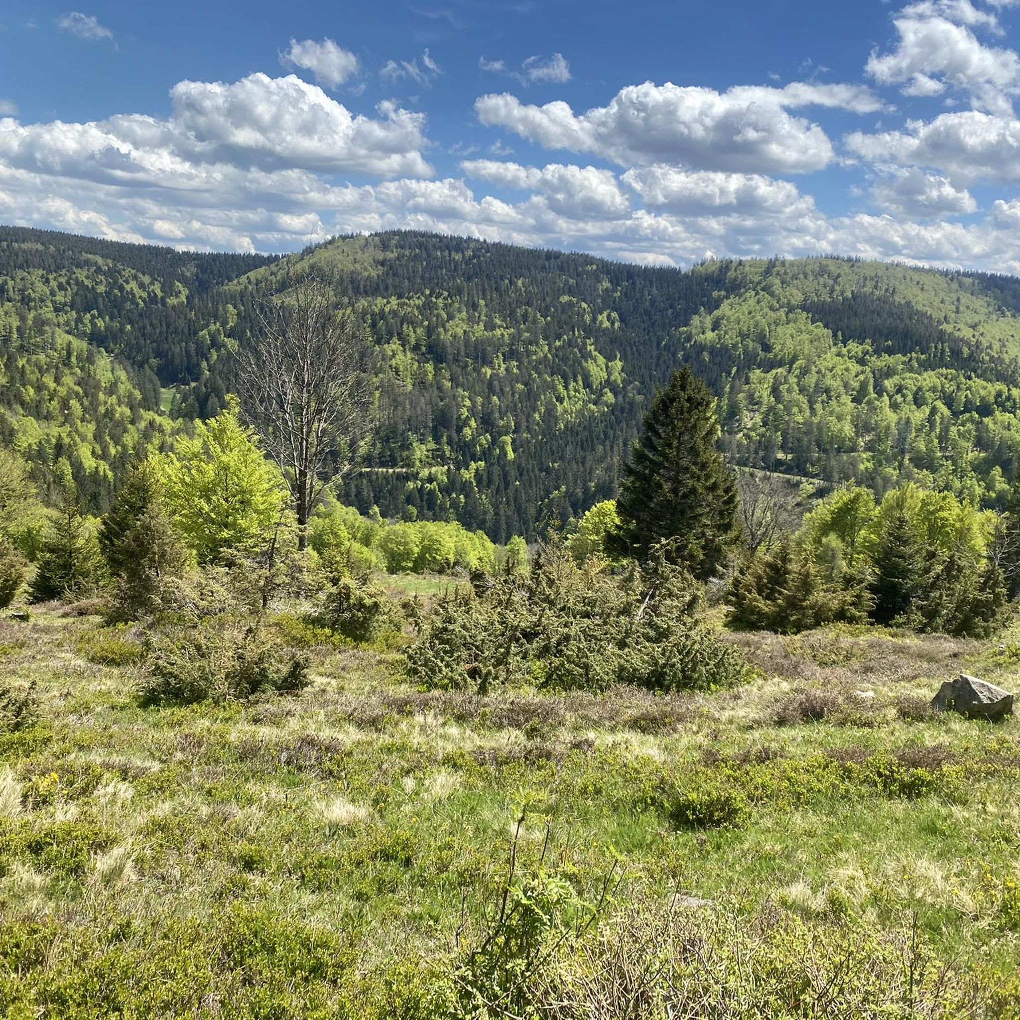
Mountaineering routes in Kostgefäll traverse a landscape characterized by forested hills, deep valleys, and notable peaks such as Schultiskopf, reaching over 1,000 meters. The region features a mix of challenging ascents and moderate paths, often leading past natural landmarks like waterfalls and mountain huts. Elevations vary, offering diverse terrain for mountaineers.
Best mountaineering routes in Kostgefäll
- The most popular mountaineering route is Wehrlehof Mill – Schultiskopf (1,072 m) loop from Simonswald, a difficult 13.5 miles (21.7 km) trail that…
Last updated: October 18, 2026
2
hikers
7.83km
02:09
130m
130m
Moderate mountaineering route. Good fitness required. Easily-accessible paths. Suitable for all skill levels.
1
hikers
5.02km
02:18
360m
360m
Moderate mountaineering route. Good fitness required. Mostly accessible paths. Sure-footedness required.

5.0
(1)
2
hikers
6.96km
02:19
220m
220m
Moderate mountaineering route. Good fitness required. Mostly accessible paths. Sure-footedness required.
2
hikers
14.1km
04:11
420m
420m
Moderate mountaineering route. Good fitness required. Easily-accessible paths. Suitable for all skill levels.
Our route recommendations are based on thousands of hikes, rides, and runs completed by other people on komoot.
Start today with a free account
Your next adventure awaits.
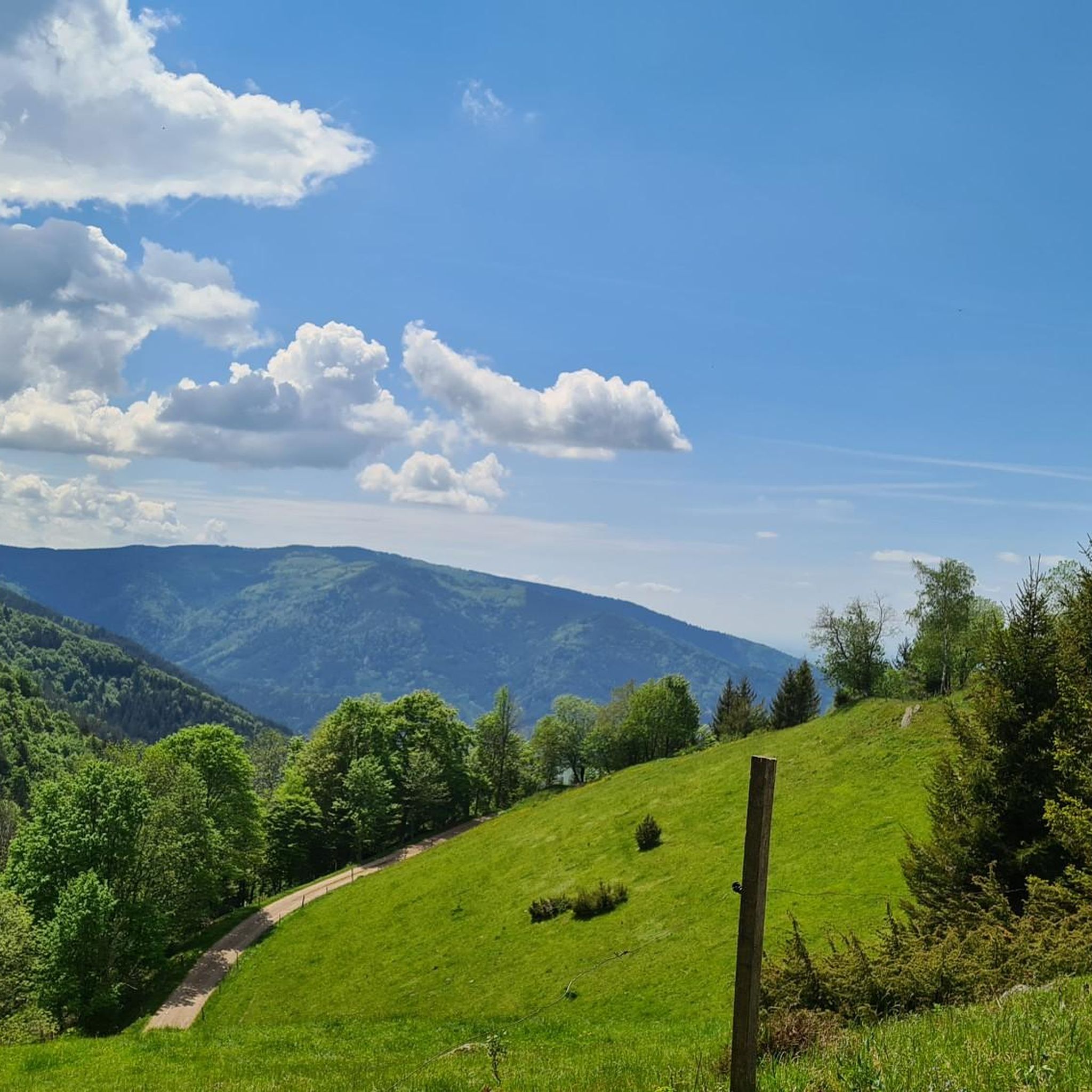
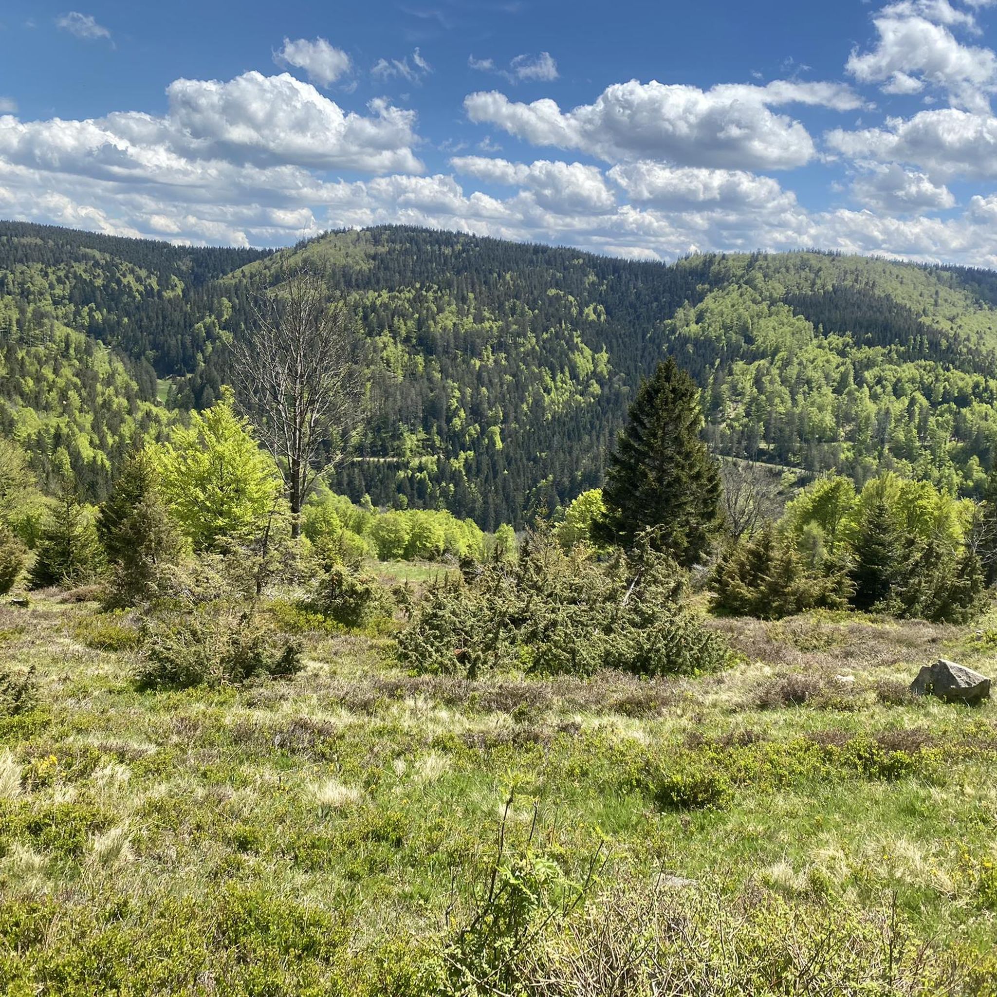
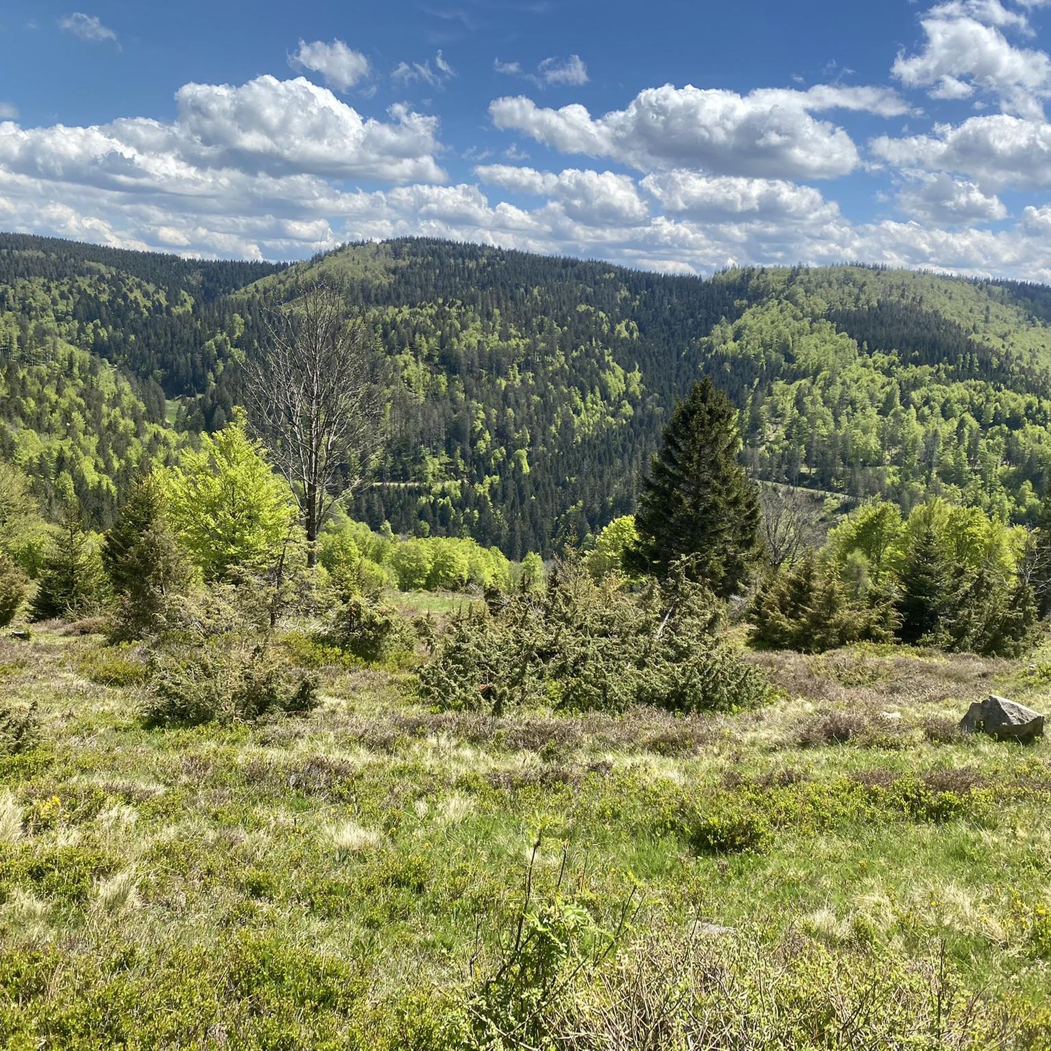
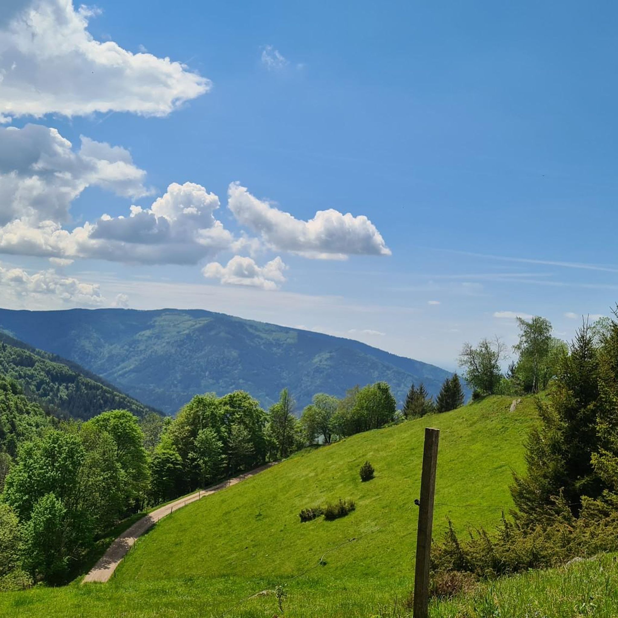
Tips from the Community


The view of the ski jumping facility and down into the valley is impressive!
0
0

the watershed between the Danube and the Rhine
0
0

The European watershed at Martinskapelle near Furtwangen in the Black Forest separates the catchment area of the North Sea (via the Rhine) from that of the Black Sea (via the Danube) at an altitude of around 1,085 meters. Course of the watershed Rhine catchment area (northwestern side): The Elz rises here, which ultimately flows into the North Sea via the Rhine. Danube catchment area (southeastern side): Only about 100 meters from the watershed lies the Breg spring. The Breg is considered the longest source river of the Danube, whose waters flow into the Black Sea. The separation: A ridge only a few meters wide decides here whether a water droplet begins its journey west to the Rhine or east to the Danube.
0
0

Unfortunately, the Hintereck is temporarily closed.
0
0

Hut closed from the end of 2025
0
0
Frequently Asked Questions
How many mountaineering routes are available in Kostgefäll?
Kostgefäll offers a selection of 6 mountaineering routes, catering to various skill levels. You'll find a mix of moderate and difficult paths to explore the region's diverse terrain.
Are there any beginner-friendly mountaineering routes in Kostgefäll?
While there are no routes specifically graded as 'easy', Kostgefäll features 5 moderate mountaineering routes that can be suitable for beginners with a reasonable level of fitness. For example, the Schönwälder Urhüttle – Blindensee loop from Schönwald im Schwarzwald is a moderate 4.8-mile trail that takes about 2 hours 9 minutes.
What kind of terrain can I expect on mountaineering routes in Kostgefäll?
Mountaineering routes in Kostgefäll primarily traverse forested hills and deep valleys. You'll encounter paths leading to notable peaks like Schultiskopf, often passing natural landmarks such as waterfalls and traditional mountain huts. The terrain offers a mix of challenging ascents and more moderate sections.
Are there any circular mountaineering routes in Kostgefäll?
Yes, many of the routes in Kostgefäll are circular, allowing you to start and end at the same point. A popular option is the Wehrlehof Mill – Schultiskopf (1,072 m) loop from Simonswald, which is a challenging 13.5-mile route. Another moderate circular trail is the Hintereck Hut – Wildgutach Waterfall loop from Beim Engel.
What attractions or landmarks can I see along the mountaineering routes?
Along the routes, you can discover several interesting landmarks and natural features. Highlights include the Obereck Summit (1,177 m), the Braunhörnle Summit Cross, and the impressive Kostgfäll Gorge. You might also pass by traditional mountain huts like Dorerbühl Hut.
What is the best time of year for mountaineering in Kostgefäll?
The best time for mountaineering in Kostgefäll is typically from late spring through early autumn (May to October) when the weather is generally mild and trails are clear of snow. During these months, you'll experience the full beauty of the forested landscapes and waterfalls.
Are there any routes that feature waterfalls?
Yes, the region is known for its waterfalls. The Hintereck Hut – Wildgutach Waterfall loop from Beim Engel is a moderate trail that specifically passes by the Wildgutach Waterfall, offering scenic views.
What do other mountaineers enjoy most about Kostgefäll?
The mountaineering routes in Kostgefäll are highly rated by the komoot community, with an average score of 5.0 stars. Reviewers often praise the diverse terrain, the presence of natural landmarks like waterfalls, and the well-maintained paths that lead through beautiful forested areas.
Are there any advanced or challenging mountaineering routes?
Yes, Kostgefäll offers challenging routes for experienced mountaineers. The Wehrlehof Mill – Schultiskopf (1,072 m) loop from Simonswald is a difficult 13.5-mile trail with significant elevation gain towards the Schultiskopf summit, taking approximately 7 hours 31 minutes to complete.
What should I wear for mountaineering in Kostgefäll?
Given the varied terrain and potential for changing weather in mountainous regions, it's advisable to wear sturdy hiking boots with good ankle support, layered clothing suitable for different temperatures, and waterproof outerwear. Don't forget sun protection, a hat, and plenty of water.
Are there any hidden gems or less-trafficked routes in Kostgefäll?
While all routes offer unique experiences, for a slightly less-trafficked option that still provides beautiful scenery, consider the Hintereck Hut – Wildsaupfad Trail loop from Gütenbach. This moderate 3-mile route offers a pleasant experience through forested areas.
Is it possible to find food or refreshments along the routes?
Some routes pass by mountain huts, such as the Hintereck Hut, which may offer refreshments. It's always a good idea to check opening times in advance or carry sufficient snacks and drinks for your tour, especially on longer routes.
Most popular routes in Kostgefäll
Most popular attractions in Kostgefäll

Get inspired with the komoot mobile app


Explore more
Browse the best Mountain Hikes & Routes in other regions.
