The best MTB trails in Kostgefäll
4.6
(1881)
5,664
riders
216
rides
Mountain biking in Kostgefäll offers a diverse landscape within the natural park around Landkreis Emmendingen. The region features rolling hills, dense woodlands, and river valleys, providing varied terrain for mountain bike enthusiasts. Trails often follow the contours of the land, with some routes exploring scenic viewpoints and others winding through forested areas. The area is characterized by its natural beauty, making it suitable for both leisurely rides and more challenging ascents.
Best mountain bike trails in Kostgefäll
- The most popular…
Last updated: August 13, 2026
4.5
(4)
12
riders
32.1km
02:32
740m
740m
Moderate mountain bike ride. Good fitness required. Suitable for all skill levels.
5.0
(4)
13
riders
35.5km
03:16
1,000m
1,000m
Hard mountain bike ride. Very good fitness required. Advanced riding skills necessary.

Sign up for free
5.0
(1)
14
riders
Moderate mountain bike ride. Good fitness required. Suitable for all skill levels.
4.0
(1)
15
riders
11.9km
00:49
80m
80m
Moderate mountain bike ride. Great for any fitness level. Advanced riding skills necessary.
4.3
(3)
11
riders
28.9km
02:49
820m
820m
Moderate mountain bike ride. Good fitness required. Suitable for all skill levels.
Get access to more routes and recommendations from other explorers.
Sign up for free
Already have an account?
Our route recommendations are based on thousands of hikes, rides, and runs completed by other people on komoot.
Start today with a free account
Your next adventure awaits.
Login or Signup
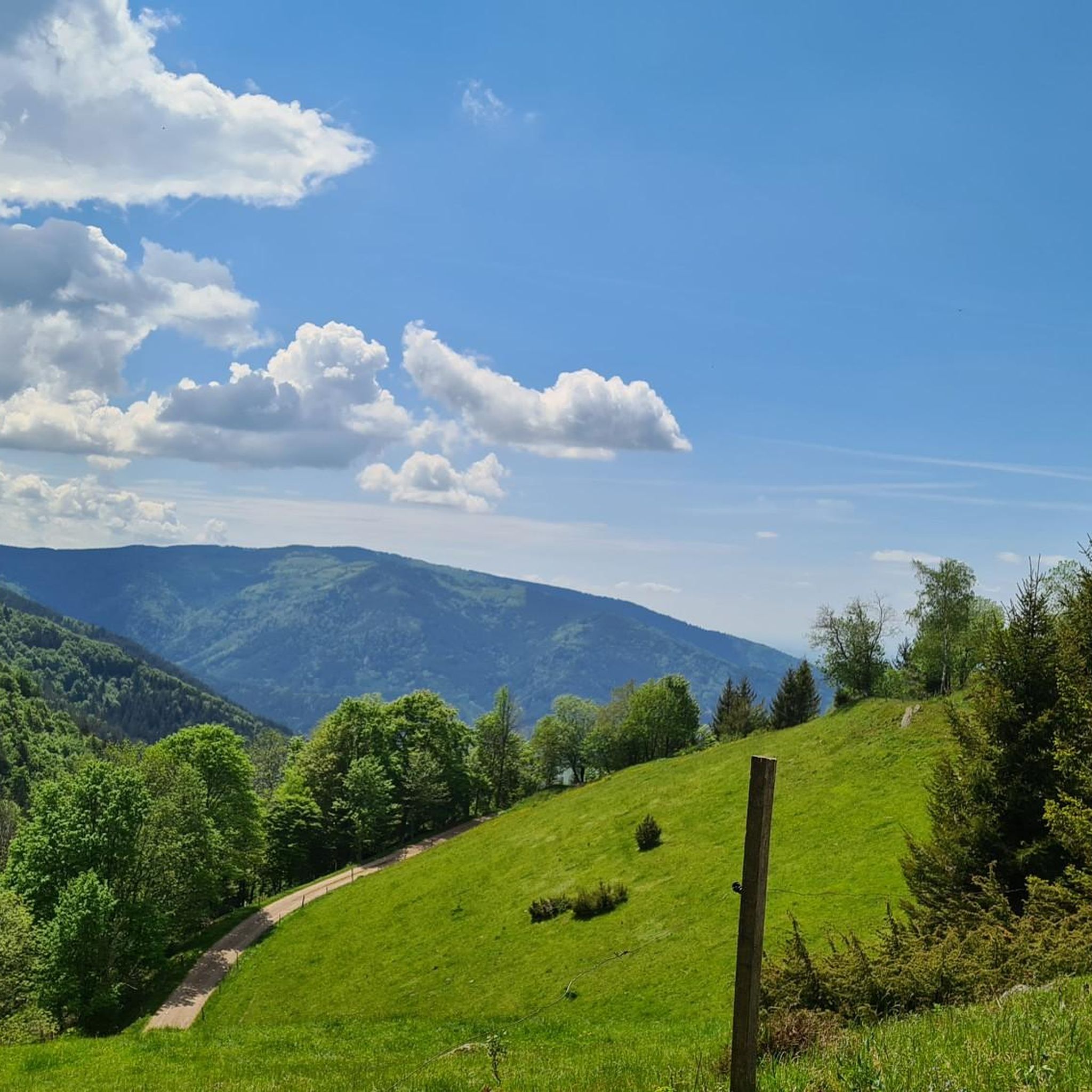
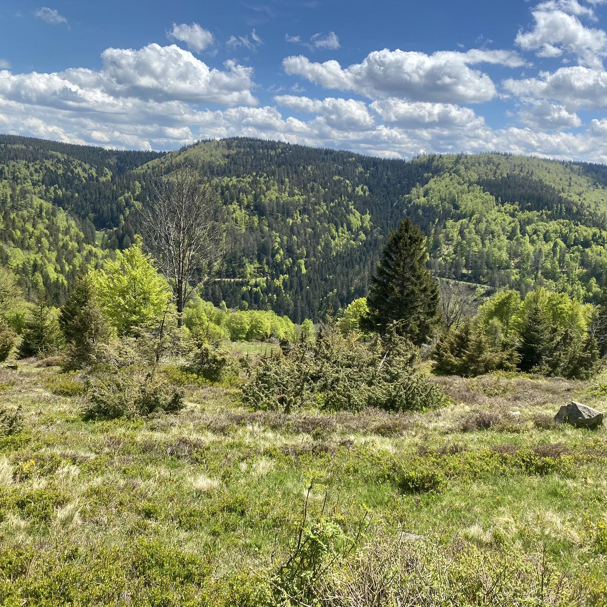
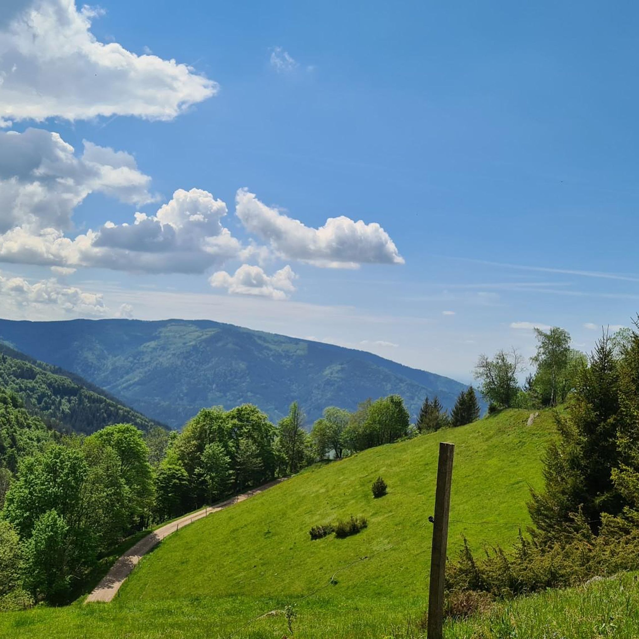
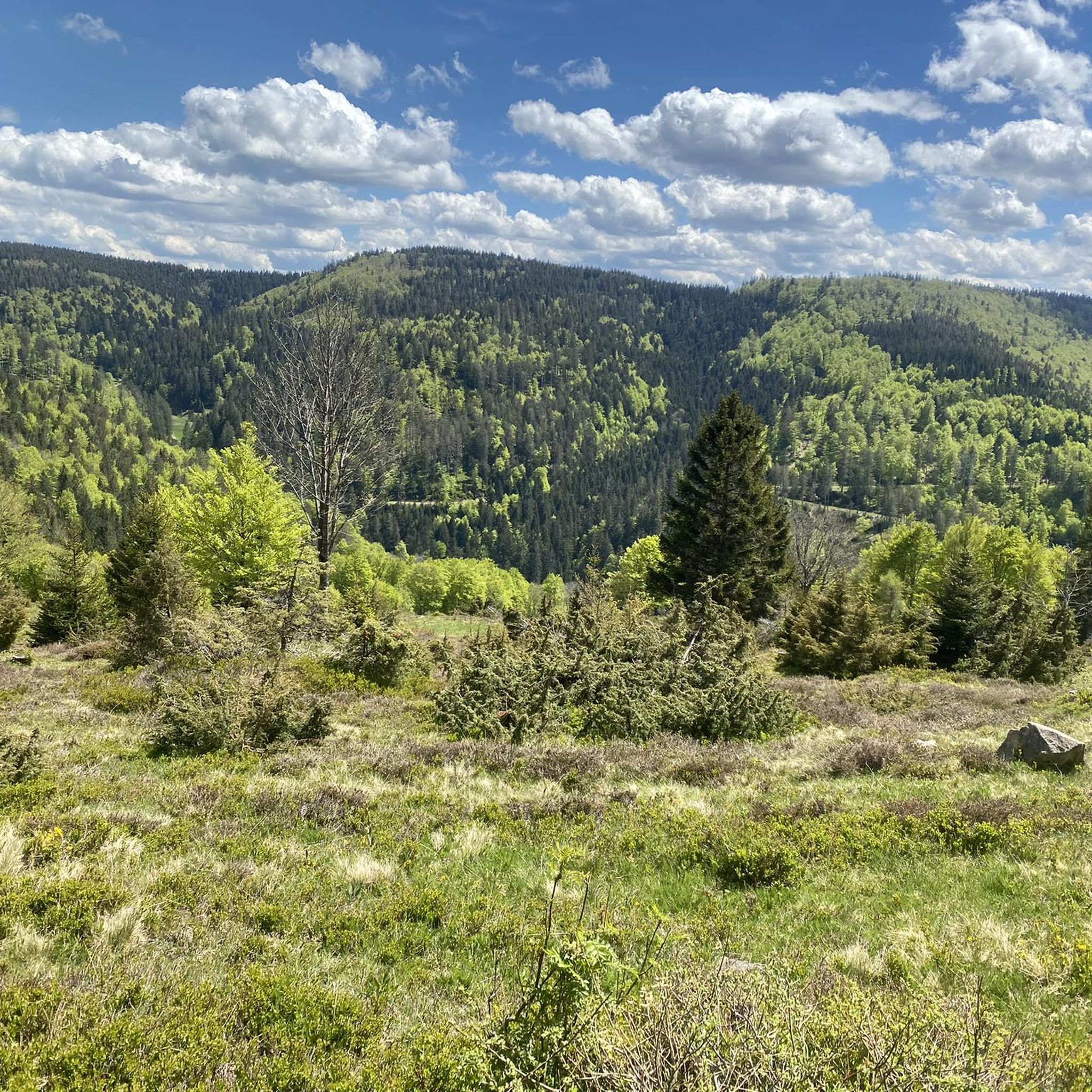

Tips from the Community

The asphalt has now been redone, and the butt-o-meter is no longer in the red. However, the valley only becomes truly beautiful when there is a lot of water roaring in the streambed. Unfortunately, due to the "forest conversion", the shading on the road has also significantly decreased. Alternatively, you can turn towards Zweribergfälle and gravel up to St.Märgen.
0
0

The European watershed at the Martinskapelle near Furtwangen in the Black Forest separates the catchment area of the North Sea (via the Rhine) from that of the Black Sea (via the Danube) at an altitude of around 1,085 meters. Course of the watershed Rhine catchment area (northwest side): Here the Elz originates, which flows via the Rhine ultimately into the North Sea. Danube catchment area (southeast side): Only about 100 meters from the watershed lies the source of the Breg. The Breg is considered the longest headstream of the Danube, whose water flows into the Black Sea. The separation: A ridge only a few meters wide decides here whether a water droplet begins its journey west to the Rhine or east to the Danube.
0
0

another highlight of the day
0
0
Furtwangen's local mountain, the Brend, with a height of 1149 m above sea level, is the highest elevation in the city and, at the same time, the second-highest mountain in the Schwarzwald-Baar district. From its observation tower, built in 1905 and extended to 15 meters in 1983, one can enjoy, with good visibility, not only the view of the Rhine plain, the Black Forest and Vosges peaks, but also the Swabian Jura and the Swiss Alps.
0
0

Pleasant incline along the wild Gutach, it gets steeper from Hexenlochmühle
0
0

Even without snow (cross-country skiing starts here most days), it's a lovely place to linger.
0
0

Nice and friendly
1
0

A wonderful place to rest and cool off
0
0
Frequently Asked Questions
What types of mountain bike trails can I find in Kostgefäll?
Kostgefäll offers a diverse range of mountain bike trails, from easy, family-friendly paths to more challenging routes. The region features rolling hills, dense woodlands, and river valleys, providing varied terrain suitable for different skill levels. You'll find a good mix, with over 200 routes available, including 31 easy, 126 moderate, and 47 difficult trails.
Are there any easy mountain bike trails suitable for beginners or families in Kostgefäll?
Yes, Kostgefäll has several easy mountain bike trails perfect for beginners or families. One such route is the View of Yach Village – View of Vorderzinken loop from Yach, an easy 10.1 km path that offers panoramic views of Yach Village and the surrounding landscape.
Where can I find challenging mountain bike routes in Kostgefäll?
For those seeking a challenge, Kostgefäll offers 47 difficult mountain bike routes. These trails often feature significant elevation changes and technical sections through dense woodlands and varied terrain. You can explore routes that climb towards scenic viewpoints for a rewarding experience.
What is the best season for mountain biking in Kostgefäll?
The region's diverse landscape of rolling hills, woodlands, and river valleys makes it enjoyable for mountain biking through much of the year. Spring and autumn typically offer pleasant temperatures and vibrant scenery, while summer provides longer daylight hours. Always check local weather conditions before heading out.
Are there any mountain bike trails that are loop routes in Kostgefäll?
Yes, many mountain bike trails in Kostgefäll are designed as loops, allowing you to start and finish at the same point. Examples include the Hexenlochmühle – Wildgutach Valley loop from Obersimonswald, a 31.7 km moderate route, and the Simonswald Oil Mill – Along the Wilde Gutach River loop from Obersimonswald, which is 31.2 km long.
What are some scenic viewpoints or attractions I can see along the mountain bike trails?
Kostgefäll offers several scenic viewpoints and natural attractions. You might encounter the Obereck Summit (1,177 m), the Braunhörnle Summit Cross, or the impressive Kostgfäll Gorge. Some routes also lead to the Viewpoint Rock: Rhine Valley and Vosges, offering expansive vistas.
Are there any less crowded mountain bike trails in Kostgefäll?
While some popular routes can see more traffic, Kostgefäll has over 200 mountain bike trails, providing ample opportunity to find quieter paths. Exploring trails slightly off the main tourist hubs or riding during off-peak hours can help you discover more secluded routes through the region's dense woodlands and river valleys.
What do other mountain bikers enjoy most about the trails in Kostgefäll?
The mountain bike trails in Kostgefäll are highly rated by the komoot community, with an average score of 4.6 stars from over 1400 reviews. Riders often praise the diverse landscape, the well-maintained paths through dense woodlands and river valleys, and the rewarding scenic viewpoints found along the routes.
Are there any long-distance mountain bike tours available in Kostgefäll?
Yes, for those looking for longer rides, Kostgefäll has several extended mountain bike tours. The View of Kandel – View of Hochburg Castle Ruins loop from Obersimonswald is a substantial 50.2 km route, offering a full day's adventure through varied terrain.
What should I bring for a mountain bike trip in Kostgefäll?
When mountain biking in Kostgefäll, it's advisable to bring appropriate safety gear, including a helmet, gloves, and protective eyewear. Carry sufficient water and snacks, a basic repair kit, and a fully charged phone. Given the varied terrain and woodlands, navigation tools like komoot can be very helpful.
Are there any huts or places to rest along the mountain bike trails?
Yes, you might find places to rest or take a break along some routes. For instance, the Dorerbühl Hut and the Kohlhütte and Florian Memorial are notable spots that could be encountered on certain trails, offering a chance to pause and enjoy the surroundings.
Most popular routes in Kostgefäll
Most popular attractions in Kostgefäll

Get inspired with the komoot mobile app


Explore more
Browse the best MTB trails in other regions.
