The best running trails in Taubergießen
4.9
(6)
126
runners
13
runs
Jogging routes in Taubergießen traverse a significant nature reserve characterized by extensive wetland forests and a dense network of watercourses. The terrain is generally flat, offering minimal elevation changes, making it suitable for various fitness levels. Runners can explore diverse meadow and forest landscapes, with many paths leading through tranquil, natural forest sections typical of floodplains. This region, situated between Freiburg and Offenburg, provides a serene environment for outdoor activities.
Best jogging routes in Taubergießen
- The most popular jogging route…
Last updated: July 1, 2026
5.0
(1)
31
runners
21.1km
02:13
40m
40m
Hard run. Very good fitness required. Mostly accessible paths. Some sure footedness required.
4.7
(3)
17
runners
Moderate run. Good fitness required. Mostly paved surfaces. Suitable for all skill levels.

Sign up for free
5.0
(1)
12
runners
5.64km
00:36
10m
10m
Moderate run. Good fitness required. Mostly paved surfaces. Suitable for all skill levels.
14
runners
8.06km
00:50
10m
10m
Moderate run. Good fitness required. Mostly paved surfaces. Suitable for all skill levels.
5.0
(1)
12
runners
10.5km
01:05
20m
20m
Moderate run. Good fitness required. Mostly paved surfaces. Suitable for all skill levels.
Get access to more routes and recommendations from other explorers.
Sign up for free
Already have an account?
Our route recommendations are based on thousands of hikes, rides, and runs completed by other people on komoot.
Start today with a free account
Your next adventure awaits.
Login or Signup
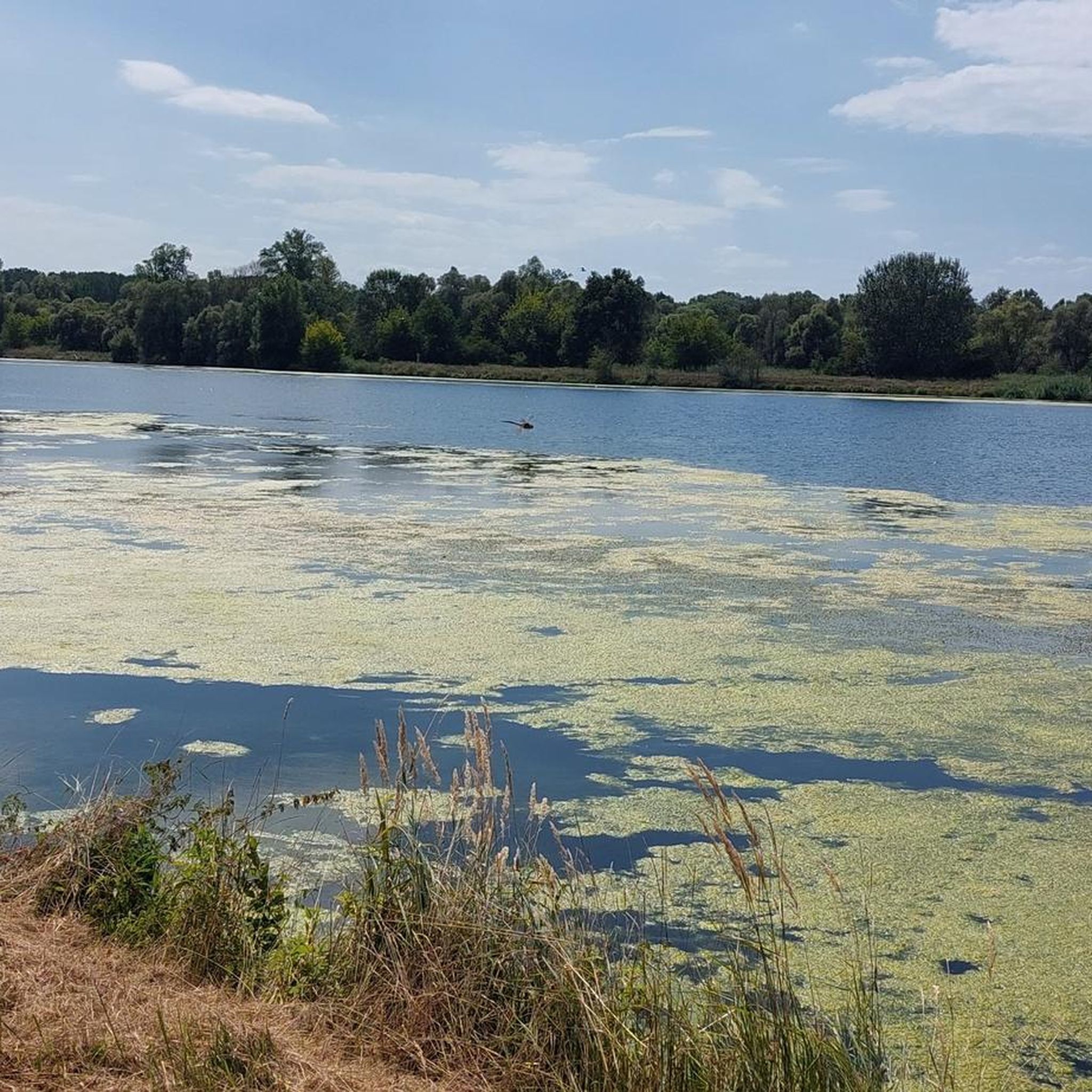
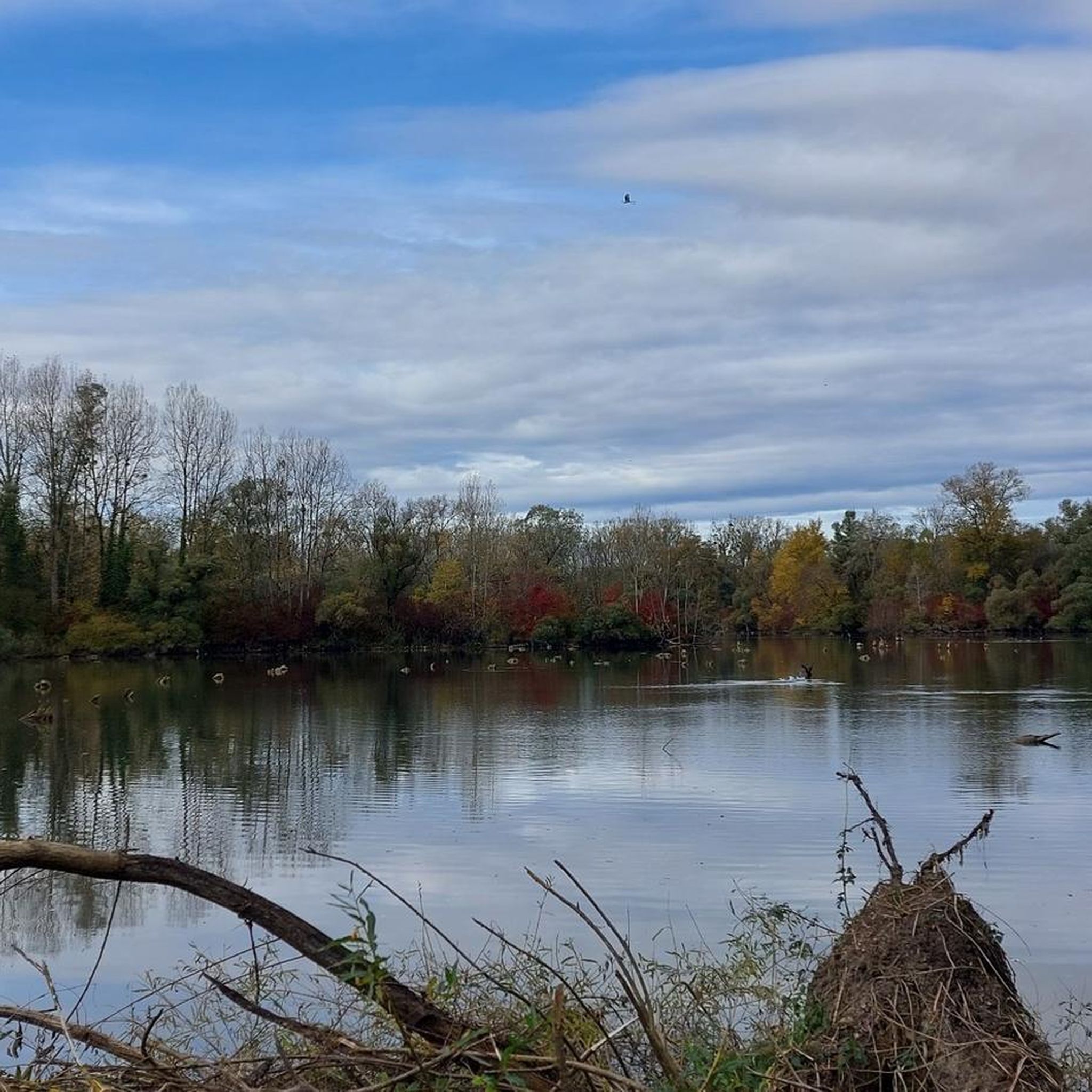
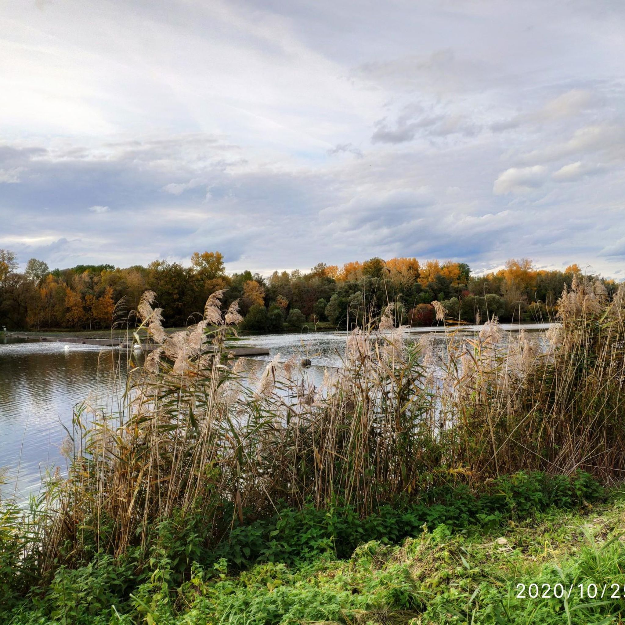
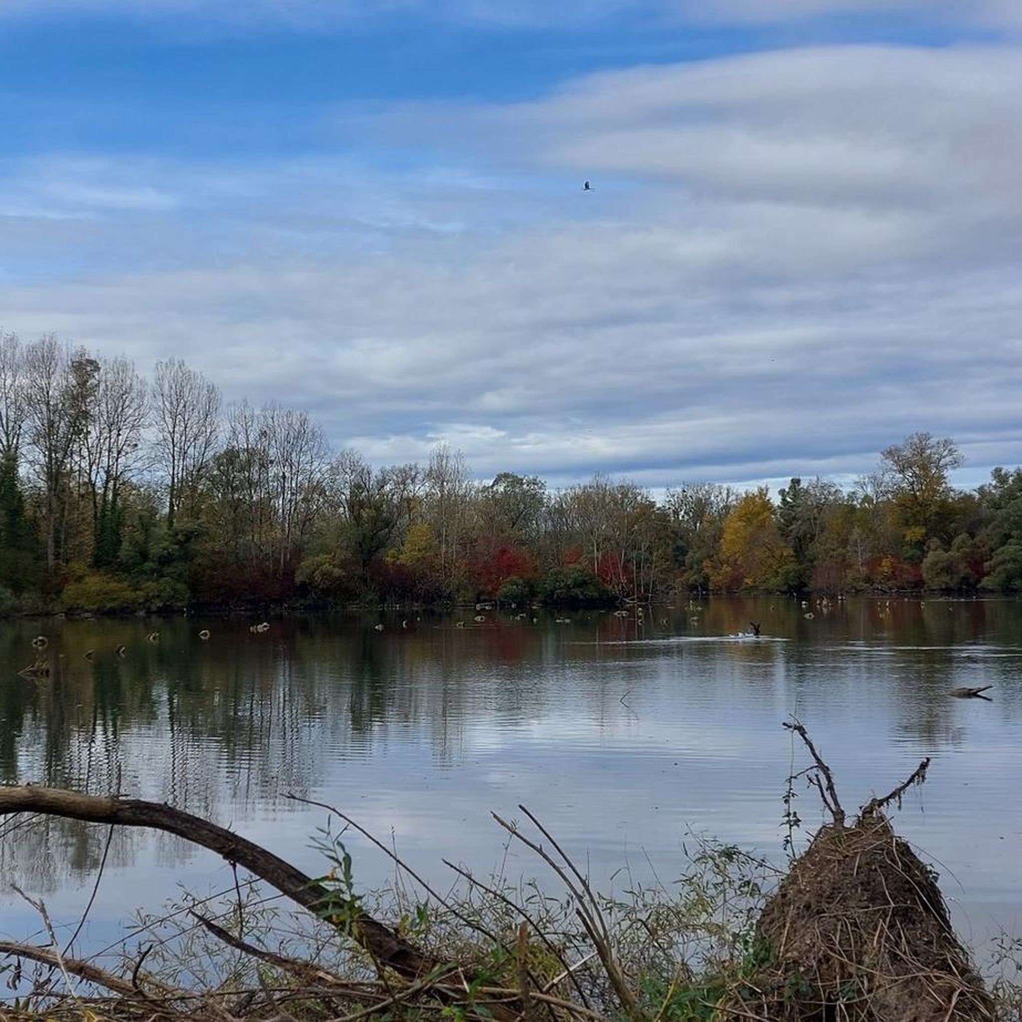
Tips from the Community

Particularly striking is the imposing Silver Star roller coaster, which, at 73 meters high, is one of the tallest and fastest steel roller coasters in Europe. From here, you can see the distinctive silhouette of the ride.
8
0

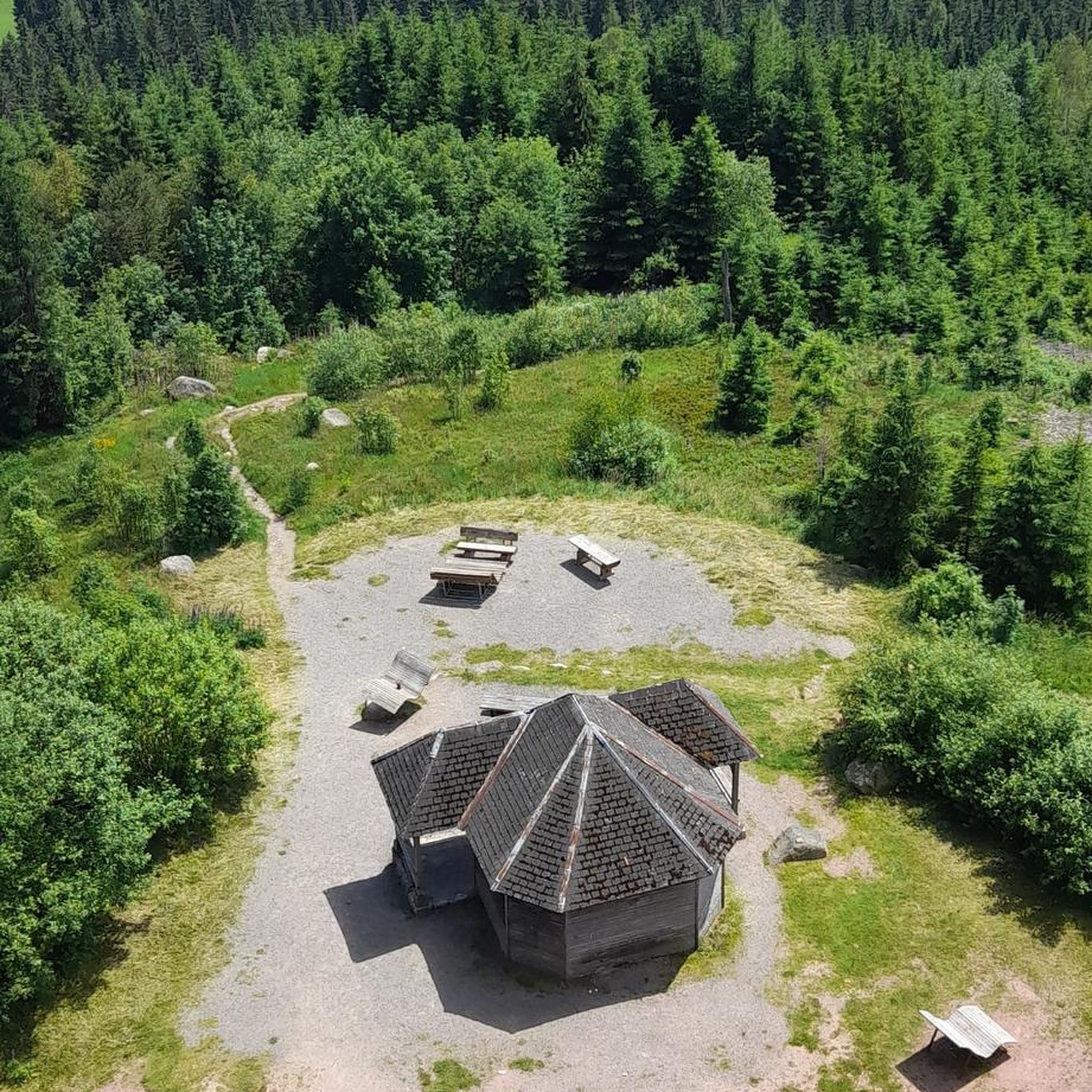
A beautiful tower for birdwatching. Spacious with seating for observing or photographing the birds.
0
0


Closed, no access available. Interesting point along the way.
0
0


The cycle path runs for miles, often directly along the Rhine, so you have a constant view of the river. Unfortunately, it's not clear what makes the spot marked here a highlight.
0
0

Take off your shoes and get ready for some fun… 🤪
0
0

The Rhine is 1,232 km long. It originates in the canton of Graubünden and flows into the North Sea in the Netherlands.
0
2
Frequently Asked Questions
How many running routes are available in Taubergießen?
Taubergießen offers a diverse selection of over 10 running routes. These include a mix of easy, moderate, and difficult trails, ensuring options for various fitness levels.
What is the typical terrain like for jogging in Taubergießen?
The terrain in Taubergießen is generally flat, with minimal elevation changes, making it ideal for a less strenuous run. You'll primarily jog through extensive wetland forests and meadow landscapes, often on well-maintained gravel paths. The area is characterized by a dense network of watercourses and old parts of the Rhine, providing a unique natural backdrop.
Are there running routes suitable for beginners or those looking for an easy run?
Yes, Taubergießen has routes suitable for beginners. While most trails are moderate, there is at least one easy route available. The flat terrain throughout the reserve makes many paths accessible for those seeking a gentle run.
What kind of challenges can I expect on the more difficult running trails?
The more difficult running trails in Taubergießen, such as the Taubergießen Weir – View of the Rhine loop from Rhinau, are typically longer, extending over 13 miles (21 km). While the elevation changes remain minimal, the primary challenge comes from the extended distance, requiring good endurance to complete.
Are there any circular running routes in Taubergießen?
Yes, many of the running routes in Taubergießen are circular, allowing you to start and end at the same point. For example, the popular Taubergießen Stream – Start Taubergießen Run loop from Rheinhausen is a moderate 3.9-mile loop that guides you through the heart of the nature reserve's watercourses and forests.
What can I see along the jogging routes in Taubergießen?
As you jog through Taubergießen, you can experience its rich biodiversity and unique natural features. Keep an eye out for rare flora like orchids and various bird species. Notable sights include the Taubergießen Floodplain, the Fish Ladder at the Taubergießen Weir, and the Taubergießen Birdwatching Tower. You might also spot beaver lodges and coypu near the Confluence of the Rhine and the Leopold Canal.
Is Taubergießen a good place for wildlife spotting while running?
Absolutely. Taubergießen is a significant nature reserve known for its vast array of rare and endangered species. Joggers often have opportunities to spot diverse wildlife, including amphibians, dragonflies, butterflies, and numerous bird species like kingfishers and cormorants, especially in the tranquil wetland areas.
What do other runners enjoy the most about jogging in Taubergießen?
The area is highly rated by the komoot community, with an average score of 5.0 stars. Runners often praise the tranquil environment, the feeling of being immersed in untouched nature, and the diverse landscapes of wetland forests and meadows. The well-maintained, flat paths also contribute to a refreshing outdoor experience.
Are there any specific themed trails that can be used for running?
Yes, Taubergießen features seven sign-posted themed trails designed to guide visitors to picturesque spots. These structured routes are excellent for exploration and can also be utilized for jogging, offering a focused way to experience the reserve's highlights.
Can I bring my dog on the running trails in Taubergießen?
As Taubergießen is a nature reserve, specific rules regarding dogs may apply to protect wildlife. While many nature areas allow dogs on a leash, it's always best to check local regulations or signage at trailheads to ensure compliance and respect for the protected environment.
Are there any moderate-difficulty running routes that are popular?
Yes, many runners enjoy the moderate routes. A local favorite is the Rheindamm Near Kappel – Elzwehr near Wittenweier loop from Rhinau, an 8 km (5 miles) trail that offers a pleasant run through varied landscapes.
What is the best time of year to go running in Taubergießen?
Taubergießen offers a unique experience year-round. During warmer months, the extensive wetland forests provide shaded paths, making it comfortable for running. The rich biodiversity, including blooming orchids and active wildlife, is particularly vibrant in spring and summer. The flat terrain also makes it accessible in most weather conditions.
Most popular routes in Taubergießen
Most popular attractions in Taubergießen

Get inspired with the komoot mobile app


Explore more
Browse the best Running Trails & Routes in other regions.
