The best walks and hikes in Taubergießen
4.5
(2872)
12,694
hikers
61
hikes
Hiking in Taubergießen offers exploration through one of Baden-Württemberg's largest nature reserves. The region is characterized by extensive floodplain forests, a network of rivers and streams, and diverse wetlands. These low-lying areas feature minimal elevation gain, making them accessible for various hiking experiences. The landscape also includes meadows and areas known for rare orchid species.
Best hiking trails in Taubergießen
- The most popular hiking route is Taubergießen Wetlands – Dornskopf in the Taubergießen loop from Rheinau (gemeindefreies Gebiet), a 5.1 miles (8.3 km) trail that takes 2 hours 5 minutes to complete, traversing through the heart of the wetlands.
- Another top favourite among local hikers is Old Rhine Taubergießen – Taubergießen Wetlands loop from Rheinhausen, an easy 3.7 miles (6.0 km) path. This route offers views of the Old Rhine and the diverse wetland ecosystems.
- Local hikers also love the Dornskopf in the Taubergießen – Taubergießen Wetlands loop from Rheinau (gemeindefreies Gebiet), a 3.1 miles (5.0 km) trail leading through floodplain forests and open wetlands, often completed in about 1 hour 15 minutes.
- Hiking in Taubergießen is defined by its floodplain forests, numerous watercourses, and diverse wetlands, offering a network of trails suitable for various ability levels.
- The routes in Taubergießen are highly rated by the komoot community with an average score of 4.5 stars from over 660 reviews. More than 2600 hikers have used komoot to explore Taubergießen's varied terrain.
Last updated: July 1, 2026
4.6
(132)
392
hikers
Moderate hike. Good fitness required. Easily-accessible paths. Suitable for all skill levels.
4.6
(135)
394
hikers
Moderate hike. Good fitness required. Easily-accessible paths. Suitable for all skill levels.

Sign up for free
4.8
(42)
164
hikers
Easy hike. Great for any fitness level. Easily-accessible paths. Suitable for all skill levels.
4.6
(21)
73
hikers
Moderate hike. Good fitness required. Easily-accessible paths. Suitable for all skill levels.
4.6
(14)
74
hikers
Moderate hike. Good fitness required. Easily-accessible paths. Suitable for all skill levels.
Get access to more routes and recommendations from other explorers.
Sign up for free
Already have an account?
Our route recommendations are based on thousands of hikes, rides, and runs completed by other people on komoot.
Start today with a free account
Your next adventure awaits.
Login or Signup
Tips from the Community

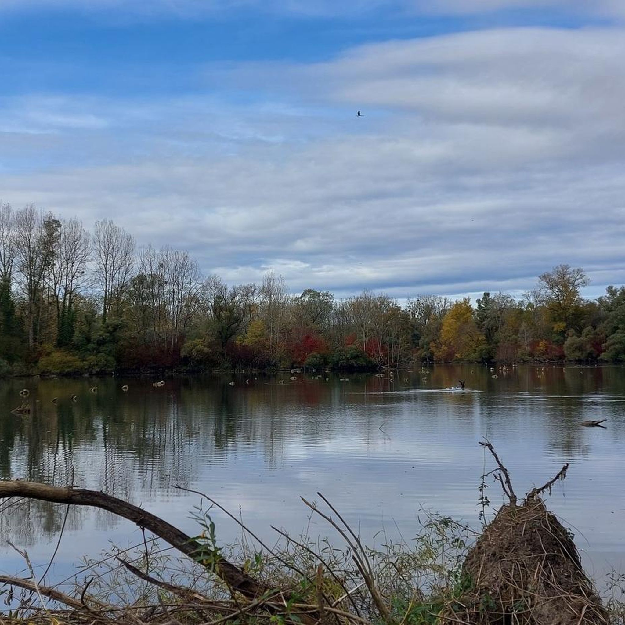
The Dornskopf is a striking spot in the Taubergießen nature reserve, known for its typical floodplain landscape. Here, waterways branch out, surrounded by dense woodland and wet meadows. The area is particularly pristine and conveys the character of the old Rhine floodplain as it existed before the Rhine was straightened. With a bit of luck, you might spot rare bird species or signs of beavers. It's a place that exudes tranquility and showcases the wild beauty of the Taubergießen.
9
0
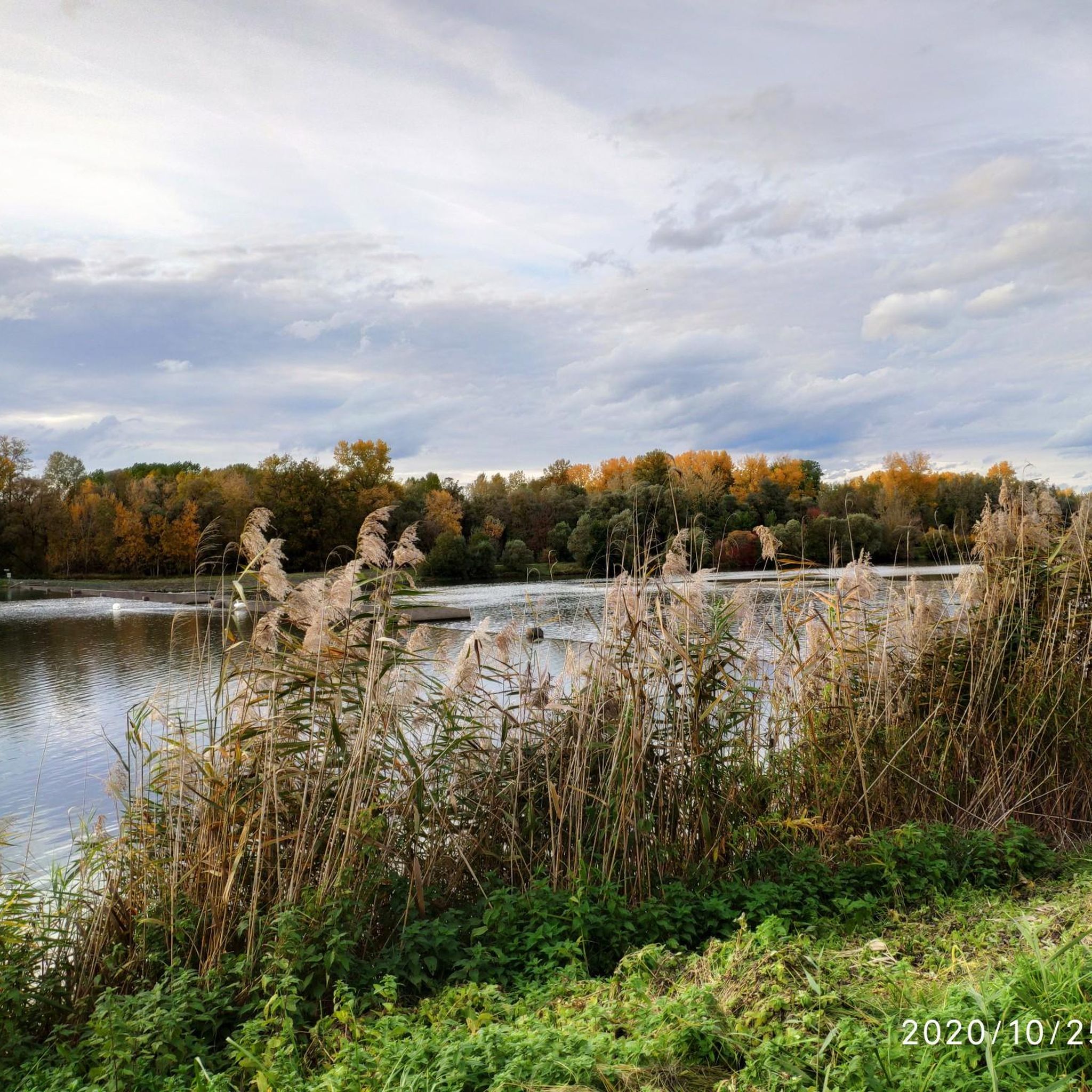
The Herrenkopf Bridge is a charming wooden bridge spanning one of the typical waterways of the Taubergießen nature reserve. Located in the heart of the nature reserve, it connects two idyllic sections of the floodplain landscape. From the bridge, there is a wonderful view of the clear water, surrounded by lush greenery and the typical features of the Rhine floodplain.
8
0
The path leads through a quiet, unspoiled section of forest, typical of the floodplain landscape. Tall trees line the trail on both sides, interspersed with small streams and damp patches that define the character of the area. The ground is muddy in places, especially after rain, but that's precisely what makes the path so authentic. Here you feel close to nature – birdsong, the rustling of leaves, and the scent of damp wood accompany every step.
8
0
A picturesque crossing in the heart of the nature reserve. The simple wooden bridge spans one of the typical waterways of the Taubergießen and offers a beautiful view of the floodplain landscape. Here you can often hear the gentle lapping of the water and, with a bit of luck, observe herons or other water birds.
8
0

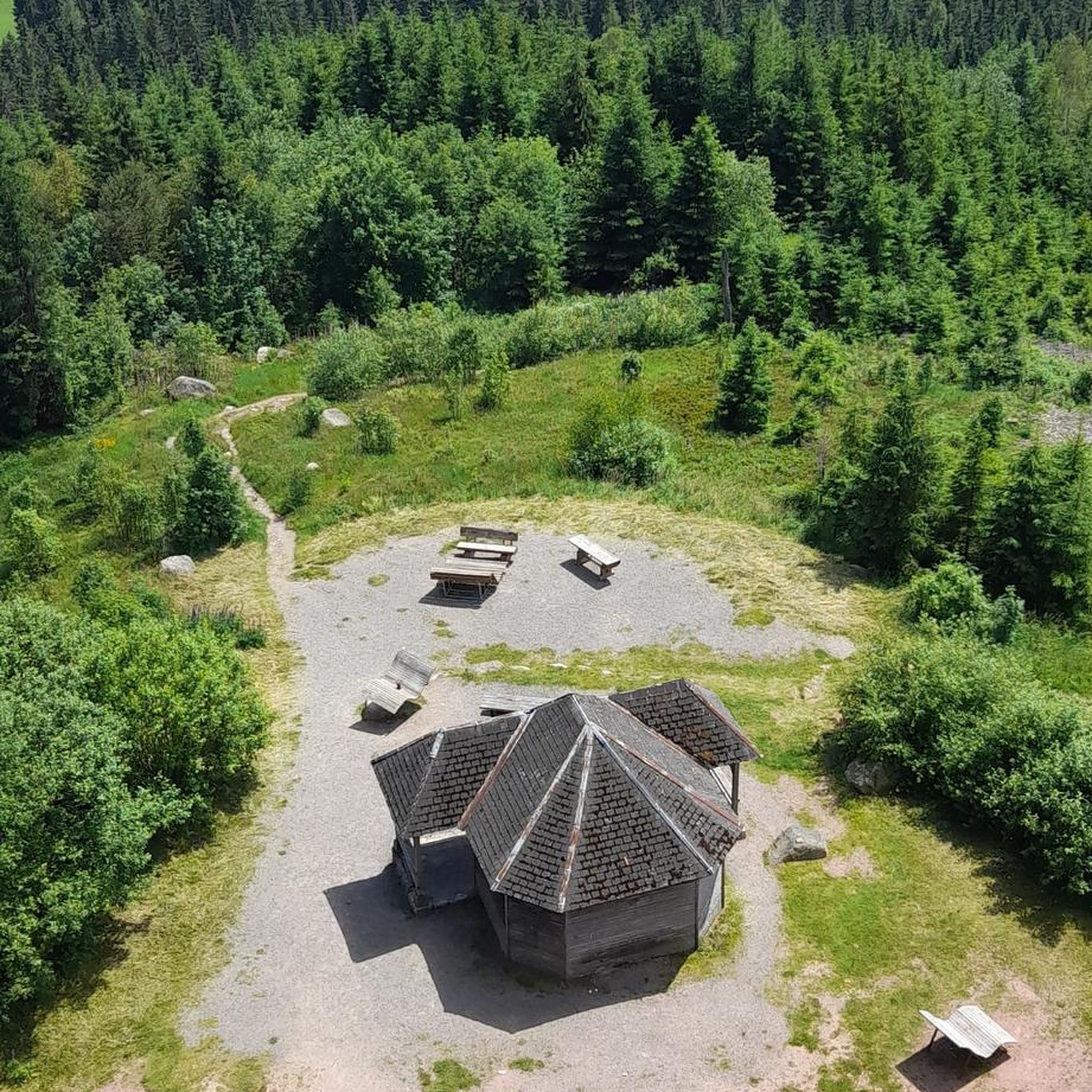
A beautiful tower for birdwatching. Spacious with seating for observing or photographing the birds.
0
0

Rough meadows with beautiful orchids
2
0

The access to the bridge is quite high and difficult with an electric wheelchair.
3
0

Frequently Asked Questions
How many hiking trails are available in Taubergießen?
Taubergießen offers a wide selection of hiking opportunities, with over 60 trails to explore. These routes cater to various preferences, ranging from easy strolls to more moderate hikes through the diverse floodplain landscape.
What is the typical terrain and elevation like for hiking in Taubergießen?
The terrain in Taubergießen is generally flat, characterized by minimal elevation gain. Hikers can expect to traverse extensive floodplain forests, meadows, and areas crisscrossed by numerous watercourses. This makes the trails accessible and pleasant for most fitness levels, even in summer when the forests provide cool, wind-protected conditions.
What natural features or landmarks can I expect to see while hiking in Taubergießen?
While hiking in Taubergießen, you'll encounter a rich tapestry of natural features. The reserve is famous for its 'jungle-like' floodplain forests and a network of streams and rivers. Keep an eye out for the Taubergießen Floodplain itself, and for birdwatchers, the Taubergießen Birdwatching Tower offers excellent views. In May and June, you might also spot rare orchid species in the calcareous grasslands.
Is Taubergießen a good place for birdwatching?
Yes, Taubergießen is an excellent destination for birdwatching. As a European bird sanctuary and a protected area of international importance, it serves as a vital breeding and resting place for numerous bird species. You might spot grey geese, ospreys, herons, black woodpeckers, and kingfishers among others.
Are there any circular hiking routes in Taubergießen?
Many of the hiking routes in Taubergießen are designed as loops, allowing you to start and end at the same point. For example, the Old Rhine Taubergießen – Taubergießen Wetlands loop from Rheinhausen is an easy 3.7-mile path, and the Dornskopf in the Taubergießen – Taubergießen Wetlands loop from Rheinau (gemeindefreies Gebiet) is a popular 3.1-mile option.
When is the best time of year to go hiking in Taubergießen?
Taubergießen offers pleasant hiking experiences throughout much of the year. The floodplain forests provide pleasantly cool and wind-protected conditions even in summer. For botanical enthusiasts, May and June are ideal to witness the blooming of rare orchid species. The rich biodiversity makes it engaging in spring and autumn as well.
Are dogs allowed on the hiking trails in Taubergießen?
As a nature reserve, specific rules apply to protect the wildlife. While dogs are generally allowed on designated trails, they must be kept on a leash at all times to prevent disturbance to the sensitive ecosystem and its inhabitants. Please ensure you clean up after your pet.
Are the hiking trails in Taubergießen suitable for families with children?
Yes, Taubergießen is well-suited for family hikes. The trails generally have minimal elevation gain and are often well-maintained, making them accessible for children. The diverse natural environment, with its 'jungle-like' forests and numerous watercourses, provides an engaging and educational experience for younger explorers.
How can I get to Taubergießen by public transport?
Public transport options to Taubergießen typically involve bus connections from nearby towns. While there isn't a direct train station within the reserve, you can often reach surrounding communities by train and then connect via local bus services. It's advisable to check local bus schedules from towns like Kappel-Grafenhausen or Rust for the most current information.
Is parking available for hikers in Taubergießen?
Yes, there are designated parking areas available at various entry points to the Taubergießen nature reserve. These parking lots are typically located near trailheads, providing convenient access for hikers. Follow local signage for specific parking instructions and any potential fees.
Are there any rules or permits required for hiking in the Taubergießen nature reserve?
As a significant nature reserve, Taubergießen has specific rules to protect its environment. While no special hiking permits are generally required for individual hikers on marked trails, it's crucial to stay on designated paths, keep dogs on a leash, and refrain from disturbing wildlife or picking plants. Always respect the signage and regulations of the protected area.
What do other hikers enjoy most about the trails in Taubergießen?
The trails in Taubergießen are highly rated by the komoot community, with an average score of 4.5 stars from over 660 reviews. Hikers frequently praise the serene and unspoiled nature, the unique 'jungle-like' atmosphere of the floodplain forests, and the abundance of wildlife. The well-marked, flat paths are also often highlighted as a positive aspect, making for a relaxing and immersive experience.
Are there easy hiking trails suitable for beginners in Taubergießen?
Absolutely. Taubergießen is an excellent choice for beginners and those seeking easy walks. Out of the over 60 available routes, 47 are classified as easy. These trails feature minimal elevation changes and well-defined paths, such as the Old Rhine Taubergießen – Taubergießen Wetlands loop from Rheinhausen, making them perfect for a relaxed introduction to the area's natural beauty.
Most popular routes in Taubergießen
Most popular attractions in Taubergießen

Get inspired with the komoot mobile app


Explore more
Browse the best Hikes in other regions.
