The best walks and hikes in Rheinhänge Von Burg Gutenfels Bis Zur Loreley
4.6
(22576)
82,113
hikers
25
hikes
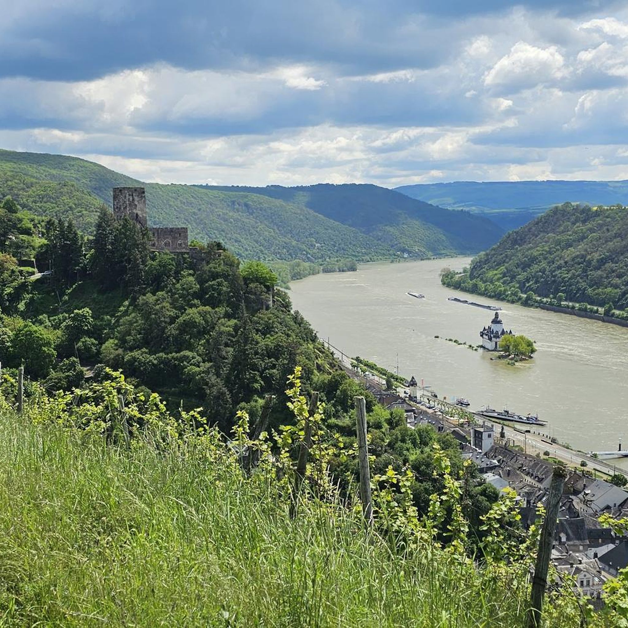
Hiking in Rheinhänge Von Burg Gutenfels Bis Zur Loreley traverses the UNESCO World Heritage Upper Middle Rhine Valley. This region is defined by a canyon-like Rhine Valley, carved through the Rhenish Slate Mountains, featuring steep, vineyard-covered hillsides and striking rock formations. Trails often pass through xerothermic biotopes and alongside traditional dry stone walls. The landscape also includes lush forests and diverse flora.
Best hiking trails in Rheinhänge Von Burg Gutenfels Bis Zur Loreley
- The most popular hiking route is Loreley…
Last updated: July 15, 2026
4.9
(1707)
6,237
hikers
29.8km
09:09
1,020m
1,020m
Hard hike. Very good fitness required. Mostly accessible paths. Sure-footedness required.
4.9
(549)
2,204
hikers
25.4km
07:32
690m
690m
Hard hike. Very good fitness required. Mostly accessible paths. Sure-footedness required.

Sign up for free
4.6
(5)
23
hikers
1.17km
00:24
50m
50m
Easy hike. Great for any fitness level. Easily-accessible paths. Suitable for all skill levels.
4.3
(16)
46
hikers
Moderate hike. Good fitness required. Easily-accessible paths. Suitable for all skill levels.
4.7
(41)
131
hikers
10.3km
03:09
340m
340m
Moderate hike. Good fitness required. Mostly accessible paths. Sure-footedness required.
Get access to more routes and recommendations from other explorers.
Sign up for free
Already have an account?
Our route recommendations are based on thousands of hikes, rides, and runs completed by other people on komoot.
Start today with a free account
Your next adventure awaits.
Login or Signup
Popular around Rheinhänge Von Burg Gutenfels Bis Zur Loreley
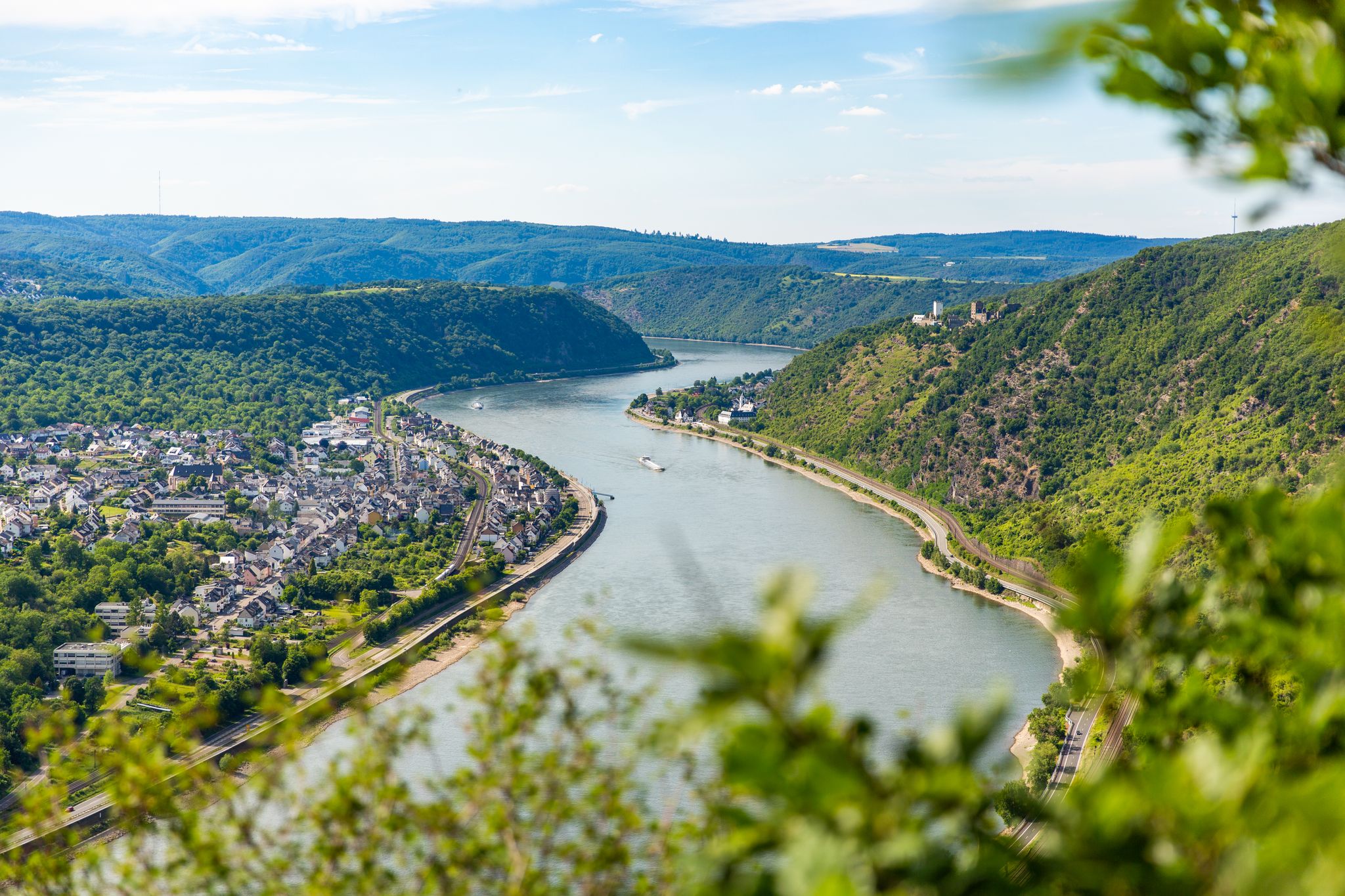
Bergauf und bergab entlang des Rheins – Abenteuer Rheinsteig
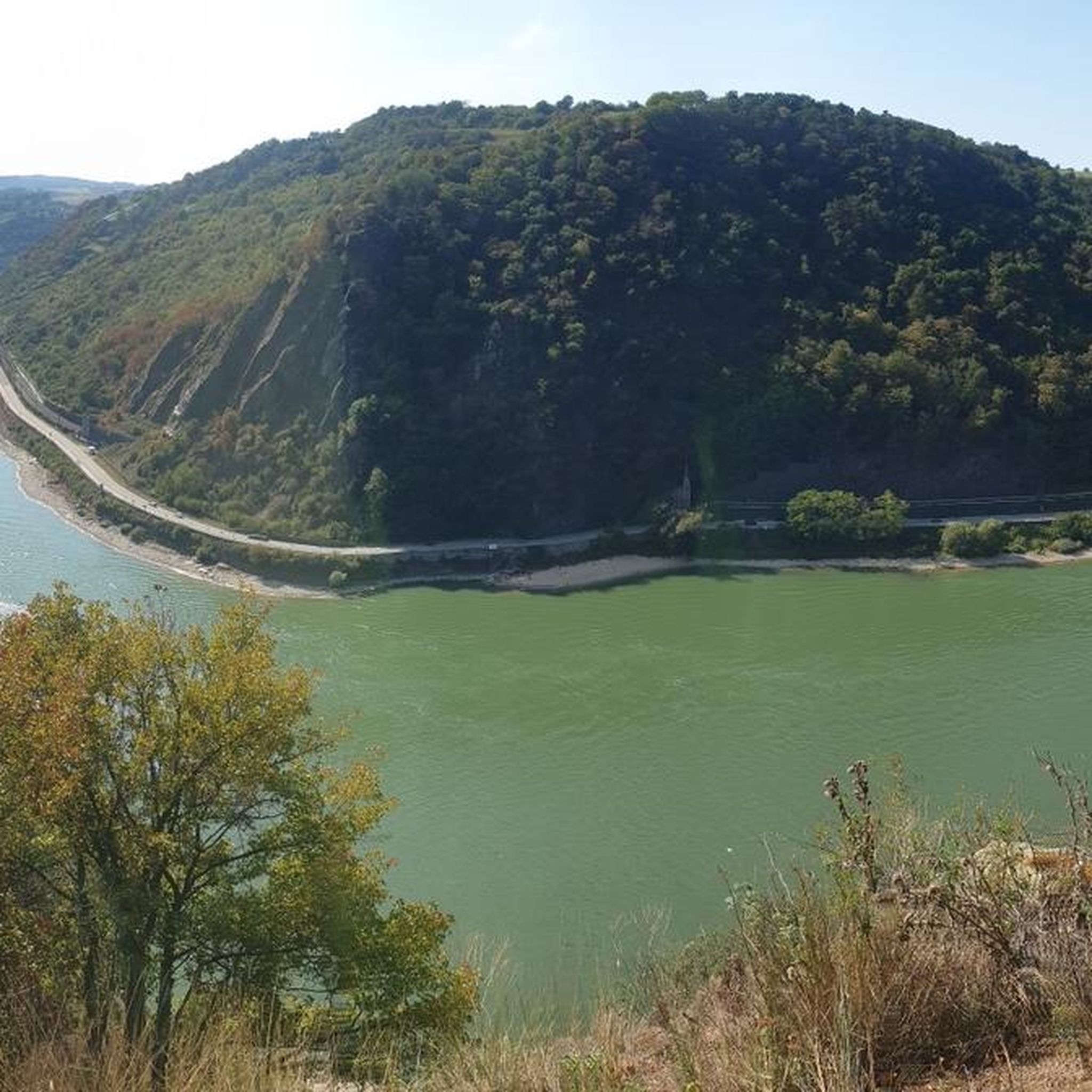
Cycling in Rheinhänge Von Burg Gutenfels Bis Zur Loreley
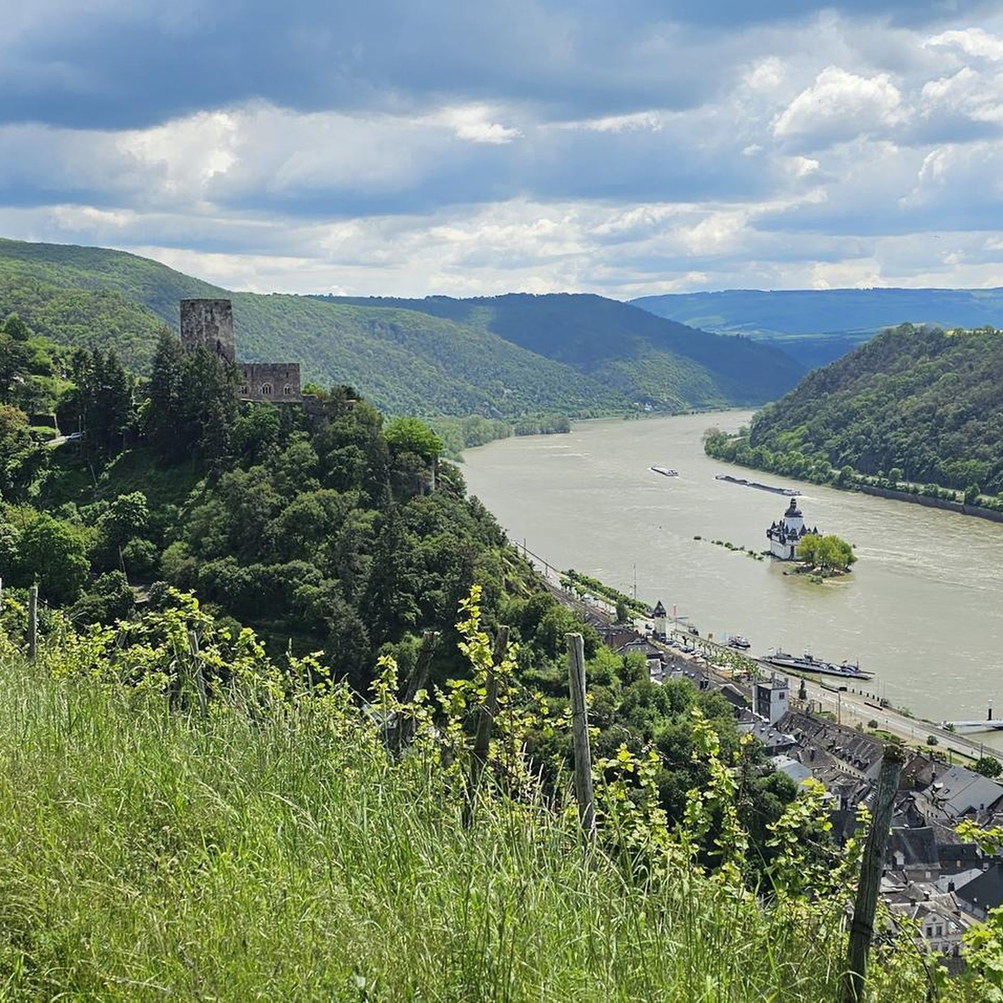
Road Cycling Routes in Rheinhänge Von Burg Gutenfels Bis Zur Loreley
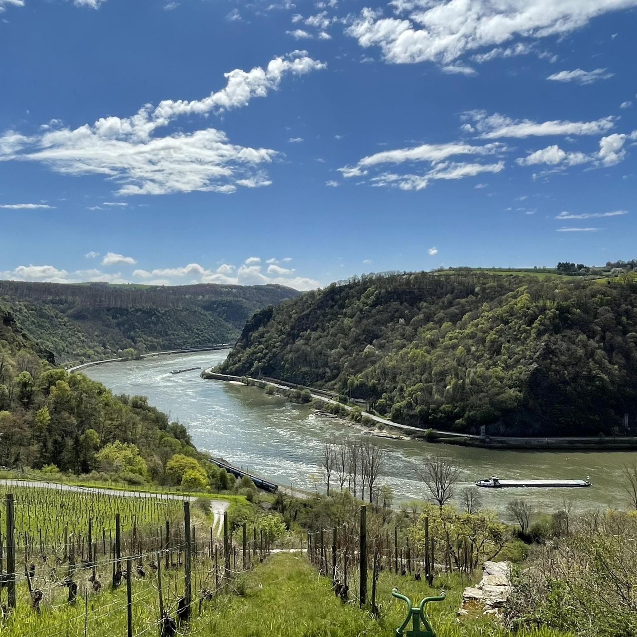
Running Trails in Rheinhänge Von Burg Gutenfels Bis Zur Loreley
MTB Trails in Rheinhänge Von Burg Gutenfels Bis Zur Loreley
Gravel biking in Rheinhänge Von Burg Gutenfels Bis Zur Loreley
Other adventures in Rheinhänge Von Burg Gutenfels Bis Zur Loreley

Tips from the Community

The Rhine is dreamily beautiful, nestled in the rocks and crowned with castles
2
0

The section before the Schwedenschanze was probably the most Alpine part of the track. Single trail and quite steep slopes (coming from the north). Very beautiful in dry weather with good visibility.
0
0

Unfortunately, in the front area of the Loreley rock, up on the plateau, everything is very commercialized, so that the real attraction of the beautiful view of one of the most beautiful landscapes in Germany is pushed into the background.
9
0

Near the visitor center at the Loreley Rock, there is a 3D model of the plateau. This provides a good overview, and visually impaired people can explore the surroundings by touch.
5
0

Be careful: it's very crowded during the day. But the views are very beautiful.
2
0

Very nice and interesting exhibition “Myth of Loreley” in a great atmosphere.
1
0
Frequently Asked Questions
How many hiking trails are available in Rheinhänge Von Burg Gutenfels Bis Zur Loreley?
There are over 20 hiking routes in the Rheinhänge Von Burg Gutenfels Bis Zur Loreley region, offering a variety of experiences from easy strolls to more challenging ascents through the dramatic Rhine Valley.
What types of terrain can I expect on the hiking trails?
The region features a canyon-like Rhine Valley with steep, vineyard-covered hillsides and dramatic rock formations. You'll encounter xerothermic biotopes, traditional dry stone walls, and paths that range from riverside strolls to strenuous climbs with rewarding vistas.
Are there any easy hiking trails suitable for beginners or families?
Yes, there are 13 easy routes in the area. An example is the Loreley Statue on the Pier – Loreley Statue loop from Sankt Goar, which is 4.0 km long and offers a pleasant walk.
What are the best viewpoints along the hiking trails?
The region is famous for its panoramic views. Notable viewpoints include the Loreley plateau itself, offering breathtaking views of the Rhine and Burg Katz. Other excellent spots are the "Fünf-Seenblick" (Five-Lakes View), "Felsenkanzel" (Rock Pulpit), and "Spitznack Aussicht". You can find the Felsenkanzel Viewpoint Overlooking the Rhine and the Loreley and the Schwedenschanze Pavilion with View of the Rhine Valley.
Are there any historical castles or landmarks to see while hiking?
Absolutely. The region is known for its unparalleled density of castles. You can see Gutenfels Castle perched above Kaub, and the View of Burg Stahleck – Bacharach Old Town loop from Kaub offers views of Burg Stahleck. The iconic Loreley Rock is also steeped in legend and a major draw.
Can I bring my dog on the hiking trails?
Many trails in the Rheinhänge Von Burg Gutenfels Bis Zur Loreley region are dog-friendly. However, it's always advisable to keep your dog on a leash, especially in nature reserves, near vineyards, or in areas with livestock, and to check specific trail regulations before you go.
Are there any circular hiking routes?
Yes, many routes are designed as circular walks. The Loreley Wine Trail – Loreley Plateau loop from Bornich is a popular moderate circular route. Another option is the Loreley Wine Trail – Spitznack Viewpoint loop from Sankt Goar, which offers challenging panoramas.
What is the best time of year to go hiking in this region?
The region is beautiful year-round, but spring and autumn are particularly popular for hiking due to milder temperatures and vibrant foliage. Spring brings blooming vineyards, while autumn offers stunning colors. Summer is also pleasant, though some trails can be more exposed to the sun.
How can I access the hiking trails using public transport?
The towns along the Rhine, such as Kaub, Sankt Goar, and Bacharach, are well-connected by train (MittelrheinBahn) and boat services, making it convenient to reach many trailheads. Public transport allows for one-way hikes along long-distance trails like the Rheinsteig and Rheinburgenweg.
Is there parking available near the trailheads?
Parking is generally available in the towns and villages along the Rhine, such as Bornich, Sankt Goar, and Kaub, which serve as starting points for many routes. Specific parking information can often be found on local tourism websites or komoot tour pages.
What do other hikers say about the trails in Rheinhänge Von Burg Gutenfels Bis Zur Loreley?
The trails in Rheinhänge Von Burg Gutenfels Bis Zur Loreley are highly rated by the komoot community, with an average score of 4.6 stars from over 4000 reviews. Hikers often praise the dramatic scenery, the historical castles, and the well-maintained paths that offer diverse experiences.
Are there any long-distance hiking trails that pass through this area?
Yes, the renowned Rheinsteig, a 320 km trail from Wiesbaden to Bonn, and the Rheinburgenweg both traverse this region. These trails offer extensive hiking opportunities with postcard-perfect views of the river and its many castles.
Can I find places to eat or drink near the hiking routes?
The charming villages nestled along the river and in the valleys, such as Bacharach and Sankt Goar, offer numerous opportunities for refreshments. You'll find cafes, restaurants, and traditional taverns where you can enjoy local cuisine and wines after your hike.
Most popular routes in Rheinhänge Von Burg Gutenfels Bis Zur Loreley
Most popular attractions in Rheinhänge Von Burg Gutenfels Bis Zur Loreley

Get inspired with the komoot mobile app


Explore more
Browse the best Hikes in other regions.
