The best running trails in Landschaftsschutzgebiet Kraftshofer Forst
4.4
(2577)
64,650
runners
971
runs
Jogging in Landschaftsschutzgebiet Kraftshofer Forst offers access to a protected natural space characterized by extensive forested areas within the larger Sebalder Reichswald. The region features varied topography, including the Buchenbühl hill at 390.8 meters, and is traversed by the Gründlach river. These natural elements provide diverse landscapes for running, from shaded forest paths to routes alongside water features.
Best jogging routes in Landschaftsschutzgebiet Kraftshofer Forst
- The most popular jogging route is Running loop from Loher Moos, a 3.7 miles…
Last updated: July 11, 2026
4.7
(3)
52
runners
5.93km
00:37
20m
20m
Moderate run. Good fitness required. Mostly paved surfaces. Suitable for all skill levels.
33
runners
11.4km
01:12
40m
40m
Moderate run. Good fitness required. Mostly paved surfaces. Suitable for all skill levels.

Sign up for free
3.0
(2)
22
runners
Moderate run. Good fitness required. Mostly paved surfaces. Suitable for all skill levels.
4.7
(3)
24
runners
11.2km
01:10
60m
60m
Moderate run. Good fitness required. Mostly paved surfaces. Suitable for all skill levels.
16
runners
Moderate run. Good fitness required. Mostly paved surfaces. Suitable for all skill levels.
Get access to more routes and recommendations from other explorers.
Sign up for free
Already have an account?
Our route recommendations are based on thousands of hikes, rides, and runs completed by other people on komoot.
Start today with a free account
Your next adventure awaits.
Login or Signup
Popular around Landschaftsschutzgebiet Kraftshofer Forst
Tips from the Community


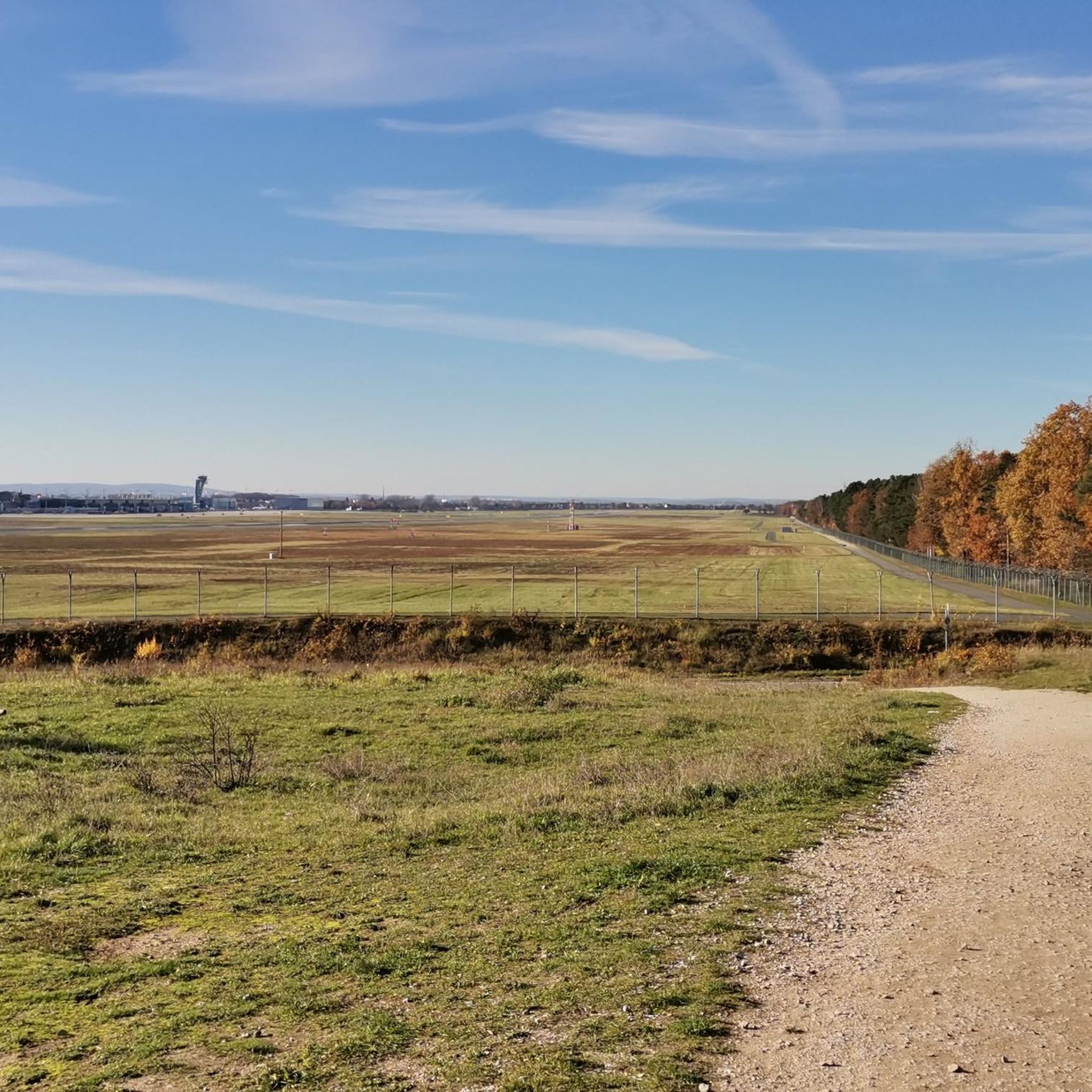
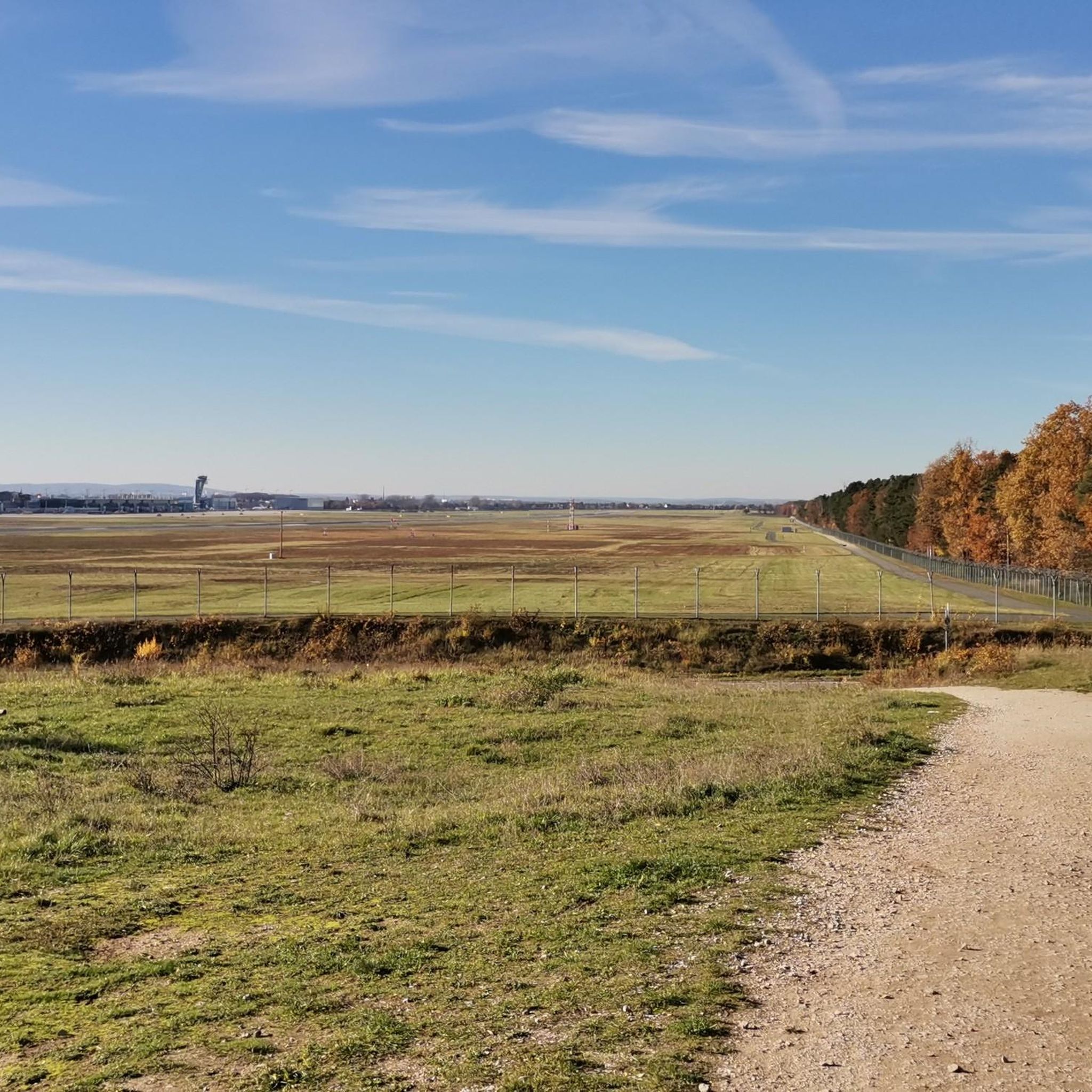
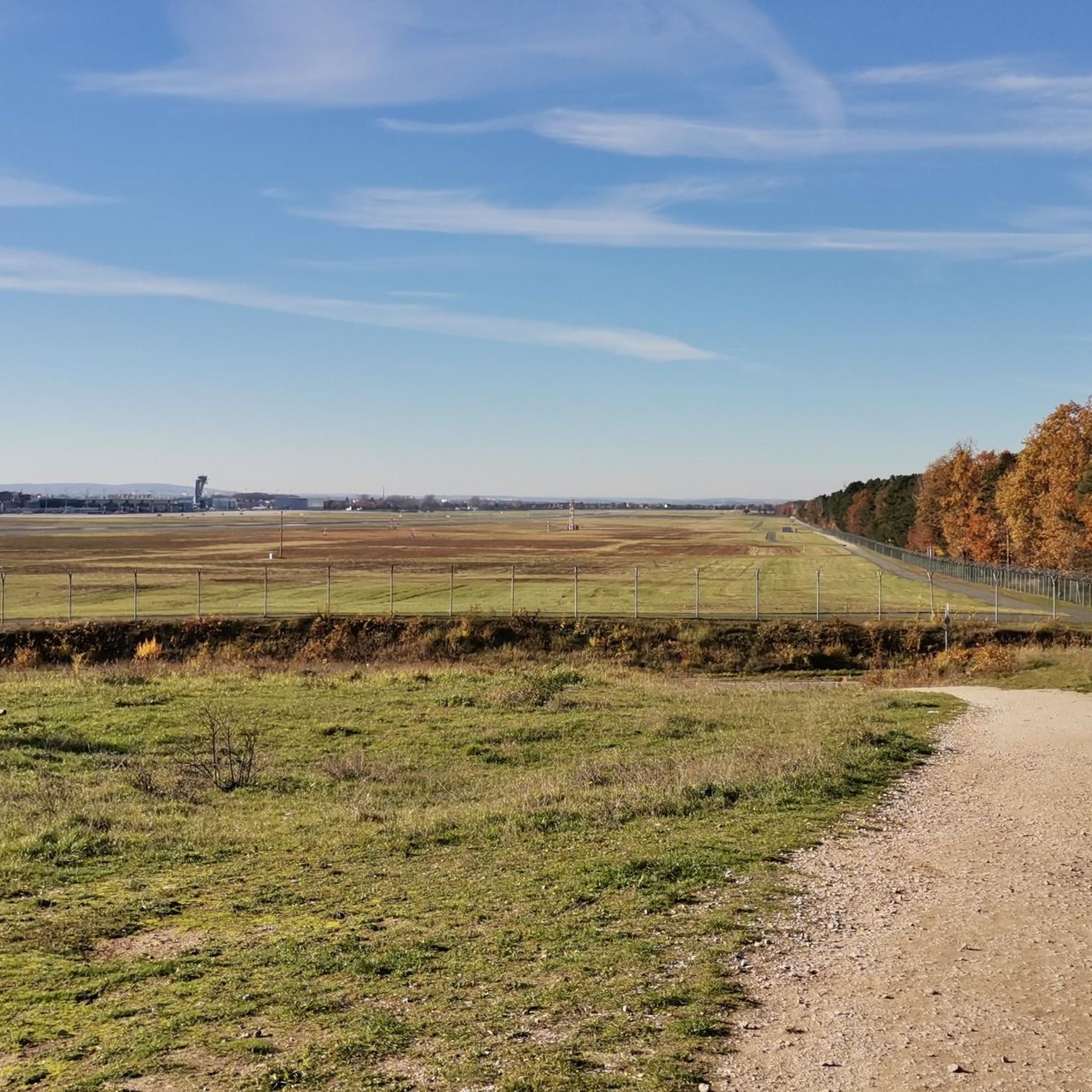
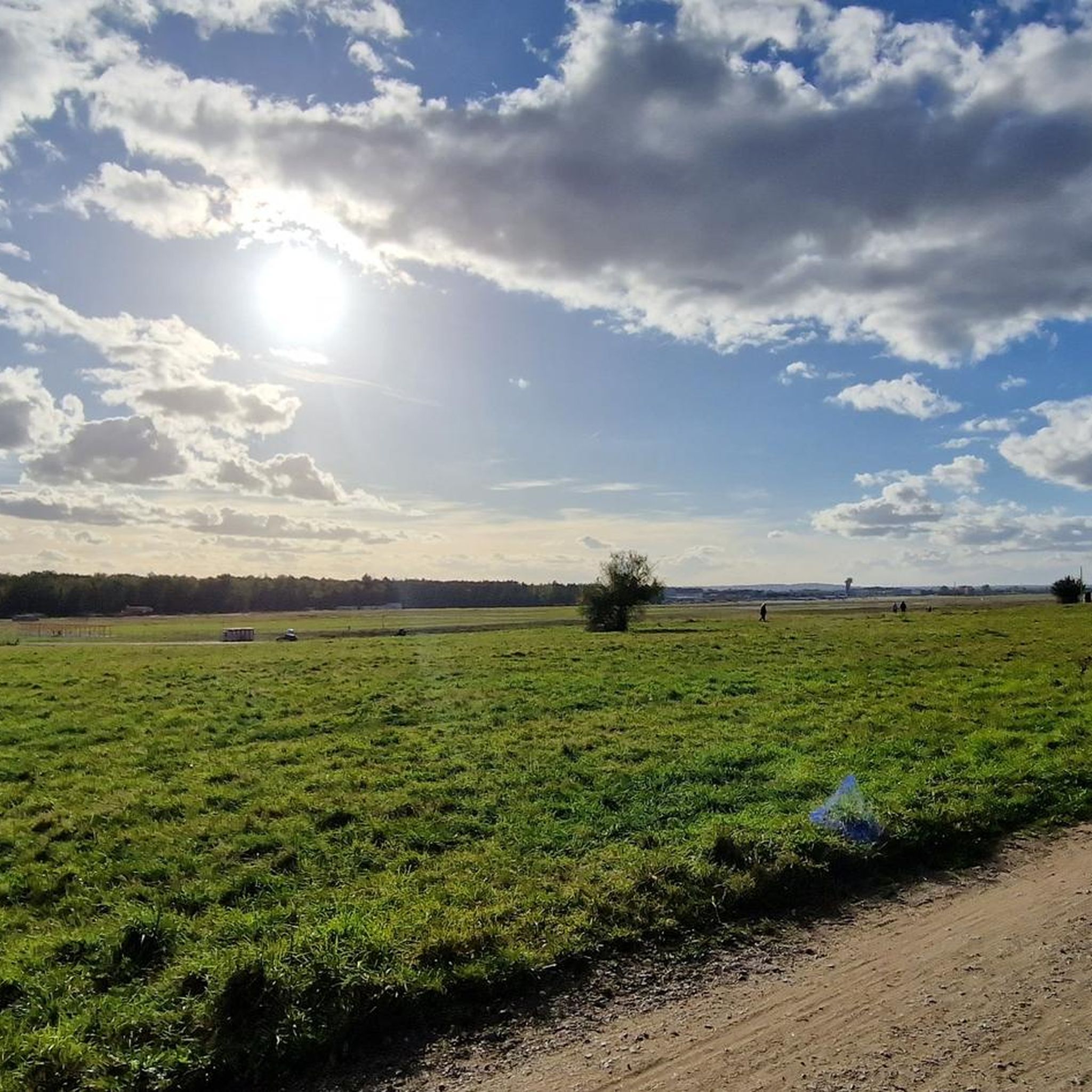
Space for plane spotters
0
0

The gateway to the world - for many residents, it is also the beginning of the evil. So opinions can differ. For me, it is a small, easy-to-understand airport that is suitable for many trips.
0
0
The gateway to the world - for many residents, it is also the beginning of the evil. So opinions can differ. For me, it is a small, easy-to-understand airport that is suitable for many trips.
0
0

From the Weißensee, walk about 100m towards Zapfweiher, then turn right into the forest and follow the hiking trail markings. These will take you back to the motorway bridge on a very narrow, winding single trail!
0
0

Water buffalo at Nuremberg Airport
0
0

Nuremberg Airport "Albrecht Dürer" is the international airport of the city of Nuremberg and the metropolitan region of the same name and the second largest airport in Bavaria. It began operations in 1955 as a replacement for Nuremberg-Marienberg Airport, which was destroyed in air raids during the Second World War.
0
1

could also be on the French coast :-)
1
0
Frequently Asked Questions
How many running routes are available in Landschaftsschutzgebiet Kraftshofer Forst?
The Landschaftsschutzgebiet Kraftshofer Forst offers a wide selection of running trails, with over 960 routes available. This includes a diverse range of options, from easy jogs to more challenging runs, ensuring there's something for every fitness level.
What kind of terrain can I expect on the running trails in Kraftshofer Forst?
You can expect predominantly forested areas with varied topography. The trails often wind through extensive woodlands, offering shaded paths. You'll also find routes that incorporate the Gründlach river and the Buchenbühl hill, providing a mix of flat sections and gentle ascents and descents for a more engaging experience.
Are there running routes suitable for beginners or those looking for an easy jog?
Yes, the Kraftshofer Forst has plenty of options for an easy jog. There are over 120 routes classified as easy, perfect for beginners or those seeking a relaxed run through the natural landscape. Many of these are well-maintained forest paths.
What about more challenging running options in the area?
For runners seeking a greater challenge, the Kraftshofer Forst offers over 110 difficult routes. These trails may feature more significant elevation changes, longer distances, or more rugged terrain, providing a demanding workout amidst the natural beauty of the landscape.
Are there circular running routes in the Kraftshofer Forst?
Yes, many of the running routes in Landschaftsschutzgebiet Kraftshofer Forst are circular, allowing you to start and finish at the same point. A popular moderate loop is the Marienberg North–South Path loop from Flughafen-Terminal, which covers 11.0 km. Another option is the Weißensee Picnic Area loop from Loher Moos, a 11.1 km moderate run.
What interesting sights or natural features can I discover while running?
While the Kraftshofer Forst is primarily known for its natural beauty, you can encounter several points of interest. The Buchenbühl Hill Forest Trail offers varied terrain, and you might come across the Kotbrunngraben Trail. The Gründlach river also flows through the area, adding picturesque water features to your run.
Are there any viewpoints along the running trails?
Yes, you can find specific viewpoints. For instance, the Airport viewpoint offers unique perspectives. A popular route that includes this is the View of Nuremberg Airport loop from Albrecht Dürer Airport Nuremberg, a 6.1 km trail through forested terrain.
Is the Kraftshofer Forst suitable for family runs?
The extensive network of trails, particularly the numerous easy and moderate routes, makes the Kraftshofer Forst a great place for family runs. The shaded forest paths and varied terrain offer an enjoyable outdoor experience for all ages, though specific 'family-friendly' designations would depend on the children's ages and fitness levels.
Are dogs allowed on the running trails in Landschaftsschutzgebiet Kraftshofer Forst?
As a landscape protection area, the Kraftshofer Forst generally welcomes dogs, making it a popular spot for dog owners. However, it's always recommended to keep dogs on a leash, especially in designated protection zones or during wildlife breeding seasons, to ensure the safety of both your pet and the local fauna.
What do other runners enjoy most about jogging in Landschaftsschutzgebiet Kraftshofer Forst?
The area is highly rated by the komoot community, with an average score of 4.4 stars from over 2500 reviews. Runners often praise the extensive forested areas, the peaceful natural environment, and the variety of trails that cater to different abilities. The presence of the Gründlach river and varied topography also contribute to a refreshing and engaging experience.
Is there public transport access to the running trails?
While the Kraftshofer Forst is a natural area, it is situated east of Nuremberg, suggesting proximity to urban infrastructure. Routes like the Marienberg North–South Path loop from Flughafen-Terminal indicate starting points accessible via public transport, such as the airport terminal, which typically has good connections.
When is the best time of year to go running in Kraftshofer Forst?
The Kraftshofer Forst is enjoyable year-round. Spring and autumn offer pleasant temperatures and beautiful scenery with changing foliage. Summer provides shaded paths through the extensive forests, ideal for escaping the heat. Even in winter, the trails can be beautiful, though conditions may vary, and appropriate footwear is advised.
Most popular routes in Landschaftsschutzgebiet Kraftshofer Forst
Most popular attractions in Landschaftsschutzgebiet Kraftshofer Forst

Get inspired with the komoot mobile app


Explore more
Browse the best Running Trails & Routes in other regions.
