The best road cycling routes in Landschaftsschutzgebiet Kraftshofer Forst
4.5
(4392)
57,217
riders
873
rides
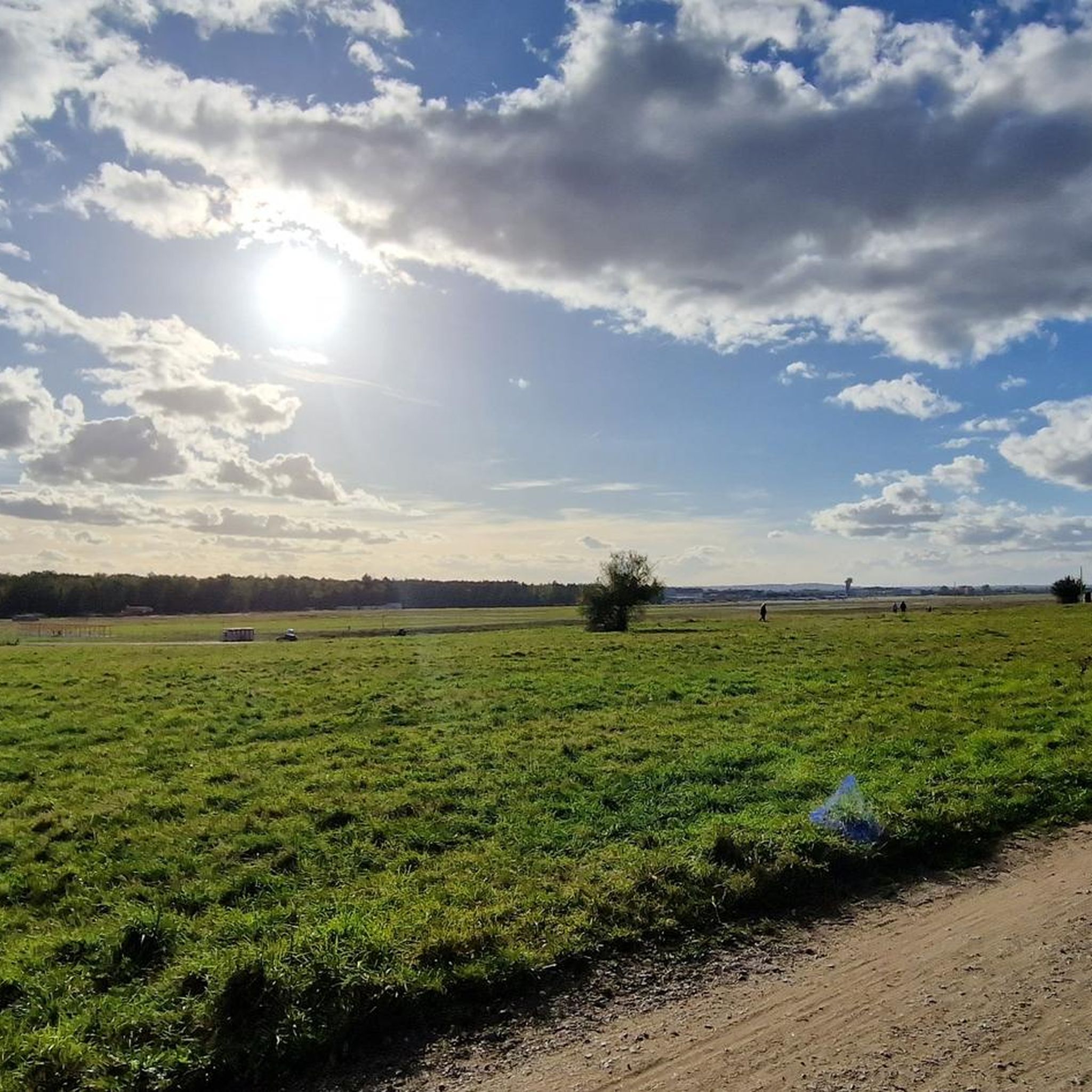
Road cycling routes in Landschaftsschutzgebiet Kraftshofer Forst are set within a protected natural environment in Middle Franconia. This area is characterized by a predominantly forested landscape, forming part of the larger Sebalder Reichswald. The Gründlach river flows through the forest, adding a natural water feature to the terrain. Buchenbühl, the highest elevation at 390.8 meters above sea level, provides some varied topography within the region.
Best road cycling routes in Landschaftsschutzgebiet Kraftshofer Forst
- The most popular road cycling route is Heroldsberg Historic Center loop from Kraftshofer Forst, a 13.9 miles (22.4 km) moderate trail that takes 1 hour 7 minutes to complete. This route explores the historic center of Heroldsberg.
- Another top favourite among local road cyclists is Pegnitz Riverside Cycle Path – Friedhofsteg Pathway loop from Flughafen, an easy 21.6 miles (34.8 km) path. This route follows the Pegnitz river, offering a flat and scenic ride.
- Local road cyclists also love the Kalchreuther Berg – View of Moritzberg loop from Ziegelstein, a 47.9 miles (77.2 km) trail leading through varied terrain with views towards Moritzberg, often completed in about 3 hours 33 minutes.
- Road cycling in Landschaftsschutzgebiet Kraftshofer Forst is defined by expansive forest landscapes, the Gründlach river, and the Buchenbühl peak. The network offers options for different ability levels, from easy riverside paths to more challenging routes with elevation changes.
- The routes in Landschaftsschutzgebiet Kraftshofer Forst are highly rated by the komoot community with an average score of 4.5 stars from over 4000 reviews. More than 58,000 road cyclists have used komoot to explore Landschaftsschutzgebiet Kraftshofer Forst's varied terrain.
Last updated: July 8, 2026
5.0
(1)
53
riders
Moderate road ride. Great for any fitness level. Some segments of this route may be unpaved and difficult to ride.
4.3
(4)
75
riders
35.0km
01:25
130m
130m
Easy road ride. Great for any fitness level. Mostly well-paved surfaces and easy to ride.

Sign up for free
85
riders
77.2km
03:33
770m
770m
Moderate road ride. Good fitness required. Mostly well-paved surfaces and easy to ride.
50
riders
Moderate road ride. Good fitness required. Some segments of this route may be unpaved and difficult to ride.
5.0
(4)
53
riders
75.1km
03:29
890m
890m
Moderate road ride. Good fitness required. Mostly well-paved surfaces and easy to ride.
Get access to more routes and recommendations from other explorers.
Sign up for free
Already have an account?
Our route recommendations are based on thousands of hikes, rides, and runs completed by other people on komoot.
Start today with a free account
Your next adventure awaits.
Login or Signup
Popular around Landschaftsschutzgebiet Kraftshofer Forst
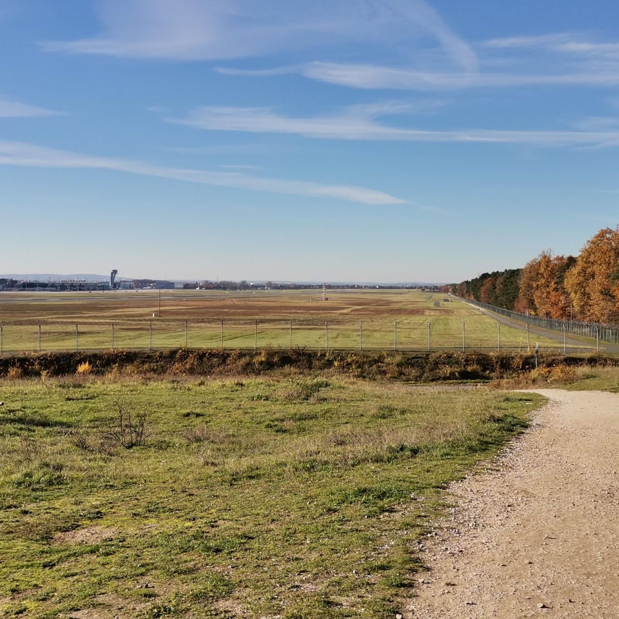
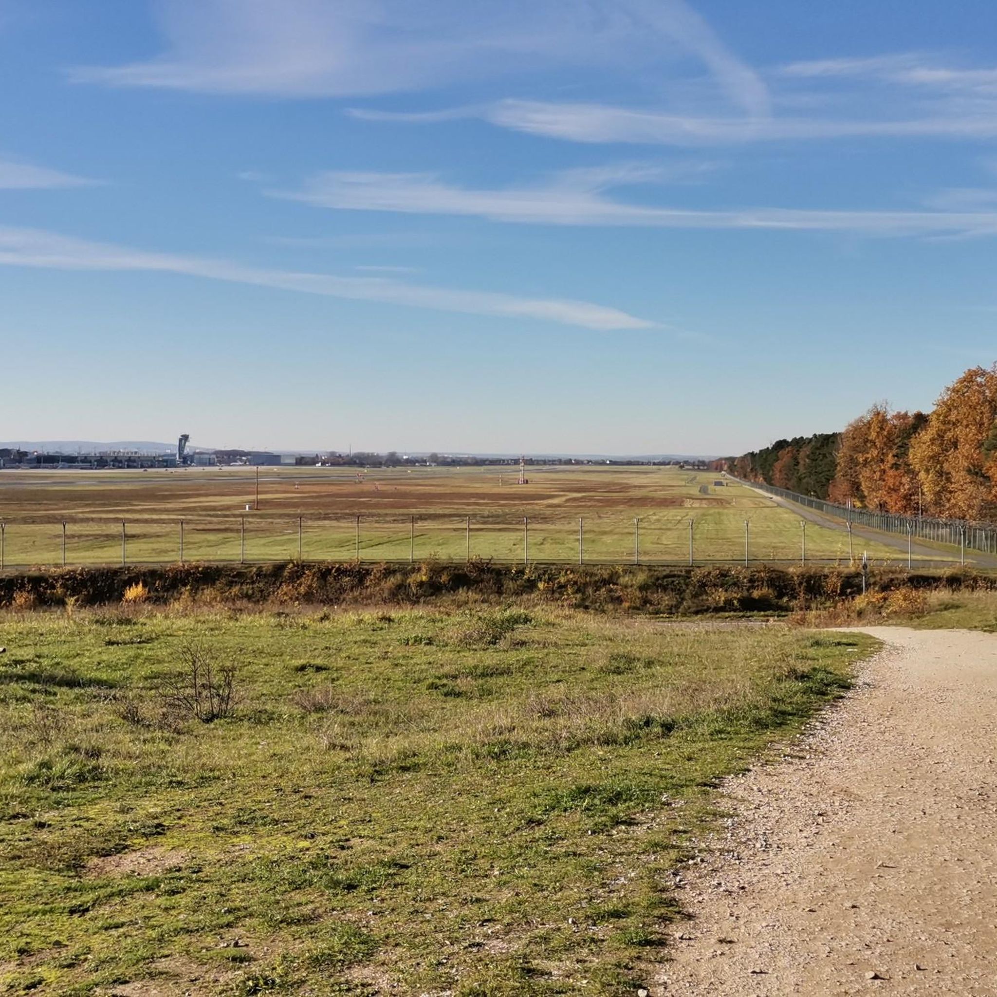
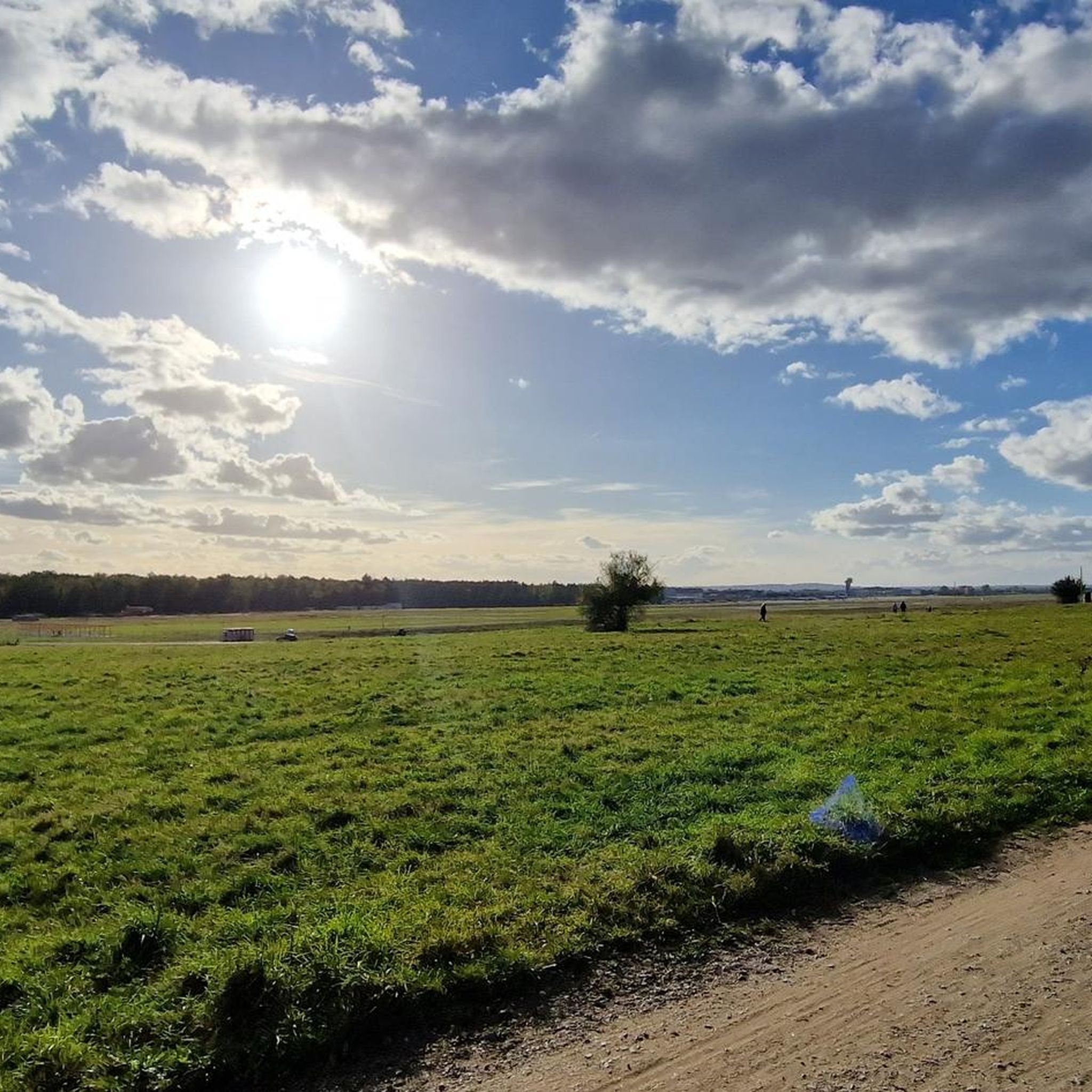
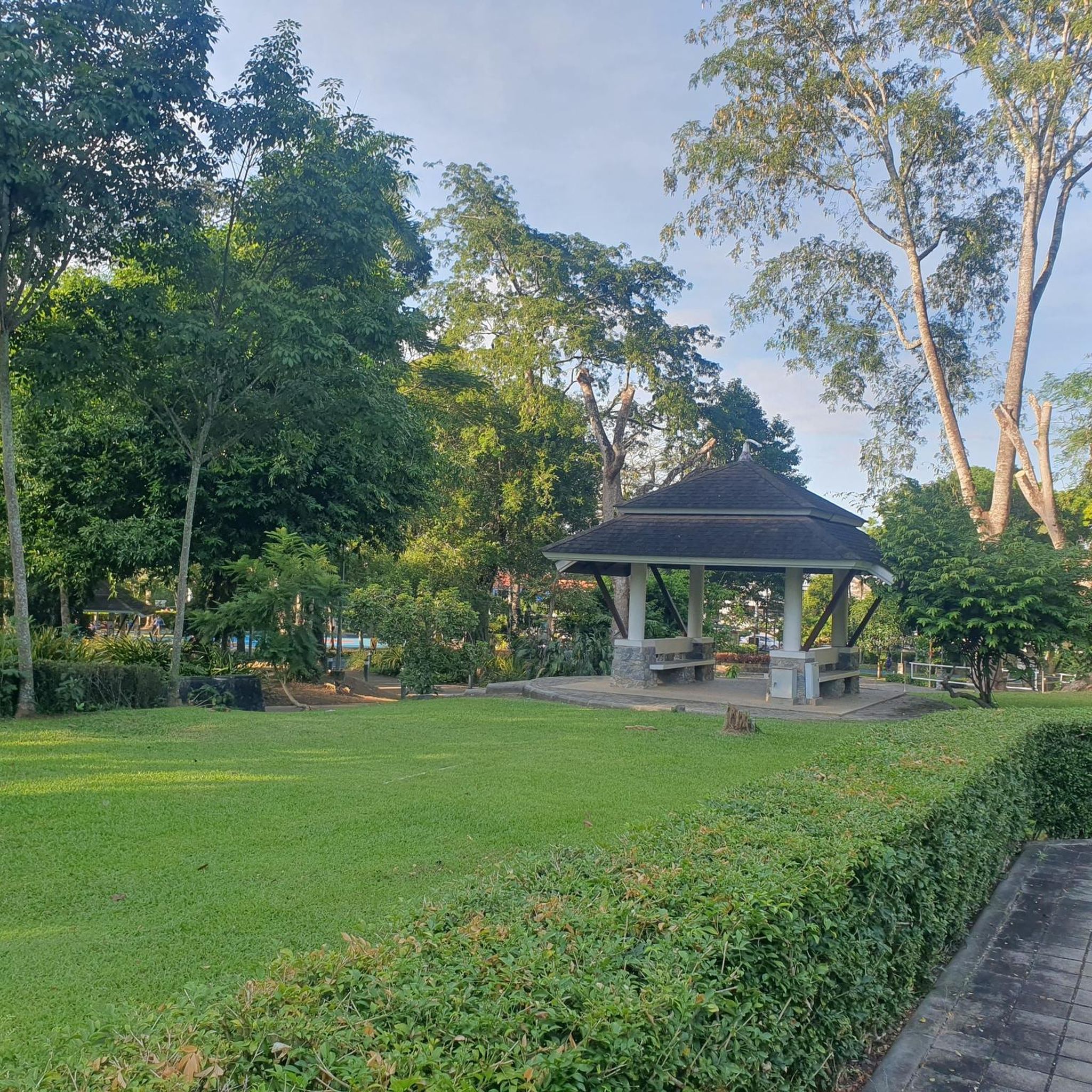
Tips from the Community

You can also stroll along comfortably.
0
0

The actual historical center of Heroldsberg is located around the Protestant St. Matthäus Church on Oberer Markt. The area around the fairground on Hauptstraße can be described as the geographical center of Heroldsberg.
0
0

A fantastic bike path if you're cycling from Solarberg towards Fürth city center or even further to Nuremberg. March 14, 2026: Currently closed in Fürth between the sewage treatment plant and the cemetery due to renovations; you have to detour to the main road. It's signposted.
1
0

Beautiful cycle path uphill to the rock cellar in Kalchreuth, on the right-hand side opposite the sports field.
0
0
A lovely cycle path along the Pegnitz river. You have to be careful at times, as it's quite busy and the path is rather narrow. The Solarberg hill is also a nice attraction – but you have to climb it :-)
0
0
Dismantled in winter. In summer, however, it's a nice place to rest and have a quick snack. ...
0
0


A nice, undulating back road in a beautiful landscape, no traffic. I'm happy to put up with the rough asphalt.
0
0
Frequently Asked Questions
How many road cycling routes are available in Landschaftsschutzgebiet Kraftshofer Forst?
There are over 900 road cycling routes in Landschaftsschutzgebiet Kraftshofer Forst, offering a wide variety of options for different skill levels and preferences.
What is the general terrain like for road cycling in this region?
The terrain in Landschaftsschutzgebiet Kraftshofer Forst is predominantly forested, characterized by well-paved surfaces suitable for road bikes. While much of the area offers serene, green environments, you'll also find varied topography, including the Gründlach river flowing through the forest and Buchenbühl, the highest elevation at 390.8 meters above sea level, providing some gentle climbs.
Are there easy road cycling routes for beginners or casual riders?
Yes, approximately 180 of the routes are classified as easy. An excellent example is the Pegnitz Riverside Cycle Path – Friedhofsteg Pathway loop from Flughafen, which is a flat and scenic ride following the Pegnitz river.
Are there more challenging road cycling routes with significant elevation changes?
Yes, for those seeking more challenge, there are about 160 difficult routes. The Kalchreuther Berg – View of Moritzberg loop from Ziegelstein is a longer route leading through varied terrain with views towards Moritzberg, involving more substantial elevation gains.
What interesting landmarks or natural features can I see along the road cycling routes?
While cycling, you can explore various points of interest. Notable natural features include the Kotbrunngraben Trail and the Buchenbühl Hill Forest Trail. You might also encounter the Airport viewpoint or the Memorial to the Prevented Airport Northern Link in the Reichswald.
What do other road cyclists enjoy most about cycling in Landschaftsschutzgebiet Kraftshofer Forst?
The area is highly rated by the komoot community, with an average score of 4.5 stars from over 4,000 reviews. Cyclists often praise the expansive, well-preserved forest landscapes, the serene environment away from urban hustle, and the variety of routes catering to different abilities, from easy riverside paths to more challenging rides.
Are there family-friendly road cycling options in the Kraftshofer Forst?
Yes, many of the easier routes, particularly those along the Gründlach or Pegnitz rivers, are suitable for families. These routes often feature mostly flat, well-paved surfaces, providing a safe and enjoyable experience for all ages. Consider routes like the Pegnitz Riverside Cycle Path – Friedhofsteg Pathway loop from Flughafen for a pleasant family outing.
Where can I find parking for road cycling in Landschaftsschutzgebiet Kraftshofer Forst?
Parking is generally available at various access points around the forest. Many routes start from locations with designated parking areas, especially near the edges of the protected area or in adjacent towns. Specific parking information can often be found on individual route pages on komoot.
Is public transport accessible for reaching road cycling routes?
Yes, the region is well-connected by public transport, particularly from nearby Nuremberg. You can often find bus or train stops that provide convenient access to starting points of various road cycling routes, allowing you to extend your ride or avoid driving to the trailhead.
Are there any circular road cycling routes available?
Yes, many of the road cycling routes in Landschaftsschutzgebiet Kraftshofer Forst are designed as loops, allowing you to start and end your ride at the same point. Examples include the Heroldsberg Historic Center loop from Kraftshofer Forst and the Pegnitz Riverside Cycle Path – Friedhofsteg Pathway loop from Flughafen.
What is the best time of year for road cycling in Landschaftsschutzgebiet Kraftshofer Forst?
Spring, summer, and early autumn generally offer the most pleasant conditions for road cycling. During these seasons, the weather is typically mild, and the forest is vibrant. While winter cycling is possible, be mindful of colder temperatures and potential icy patches on shaded routes.
Are there cafes or restaurants near the road cycling routes?
While the Kraftshofer Forst itself is a protected natural area, the surrounding towns and villages, such as Heroldsberg or areas bordering Nuremberg, offer various cafes, restaurants, and pubs where cyclists can refuel and relax. It's advisable to check specific route details or local maps for establishments along or near your chosen path.
Most popular routes in Landschaftsschutzgebiet Kraftshofer Forst
Most popular attractions in Landschaftsschutzgebiet Kraftshofer Forst

Get inspired with the komoot mobile app


Explore more
Browse the best Road cycling routes in other regions.
