Schmalwasser- Und Premichtal
Schmalwasser- Und Premichtal
The best mountain hikes in Schmalwasser- Und Premichtal
3.0
(3)
11
hikers
4
hikes
Mountaineering routes in Schmalwasser- Und Premichtal, located in the Bavarian district of Rhön-Grabfeld, offer demanding trails suitable for alpine hiking and strenuous trekking. The region features diverse terrain, including significant elevation changes, varied forest paths, and natural features like the Schmalwasser-Stausee and Röllchenschlucht. These routes require good fitness and sure-footedness, with some sections aligning with T2 and T3 levels of the SAC hiking scale. The area provides a network of paths that cater to those seeking challenging outdoor experiences within…
Last updated: July 2, 2026
5.0
(2)
6
hikers
13.6km
04:12
490m
490m
Moderate mountaineering route. Good fitness required. Easily-accessible paths. Suitable for all skill levels.
2
hikers
Moderate mountaineering route. Good fitness required. Easily-accessible paths. Suitable for all skill levels.

Sign up for free
2
hikers
Moderate mountaineering route. Good fitness required. Easily-accessible paths. Suitable for all skill levels.
1.0
(1)
1
hikers
Moderate mountaineering route. Good fitness required. Easily-accessible paths. Suitable for all skill levels.
Our route recommendations are based on thousands of hikes, rides, and runs completed by other people on komoot.
Start today with a free account
Your next adventure awaits.
Login or Signup
Popular around Schmalwasser- Und Premichtal
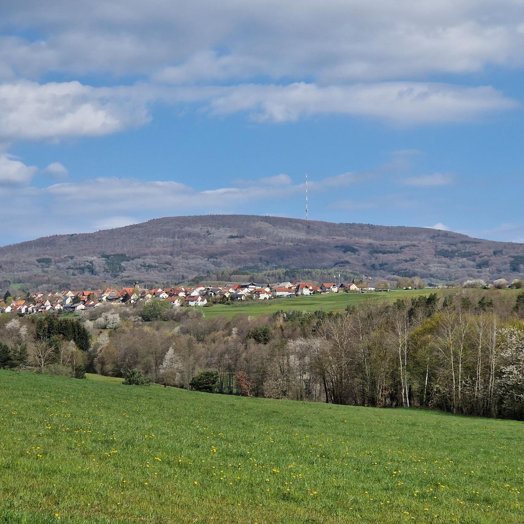
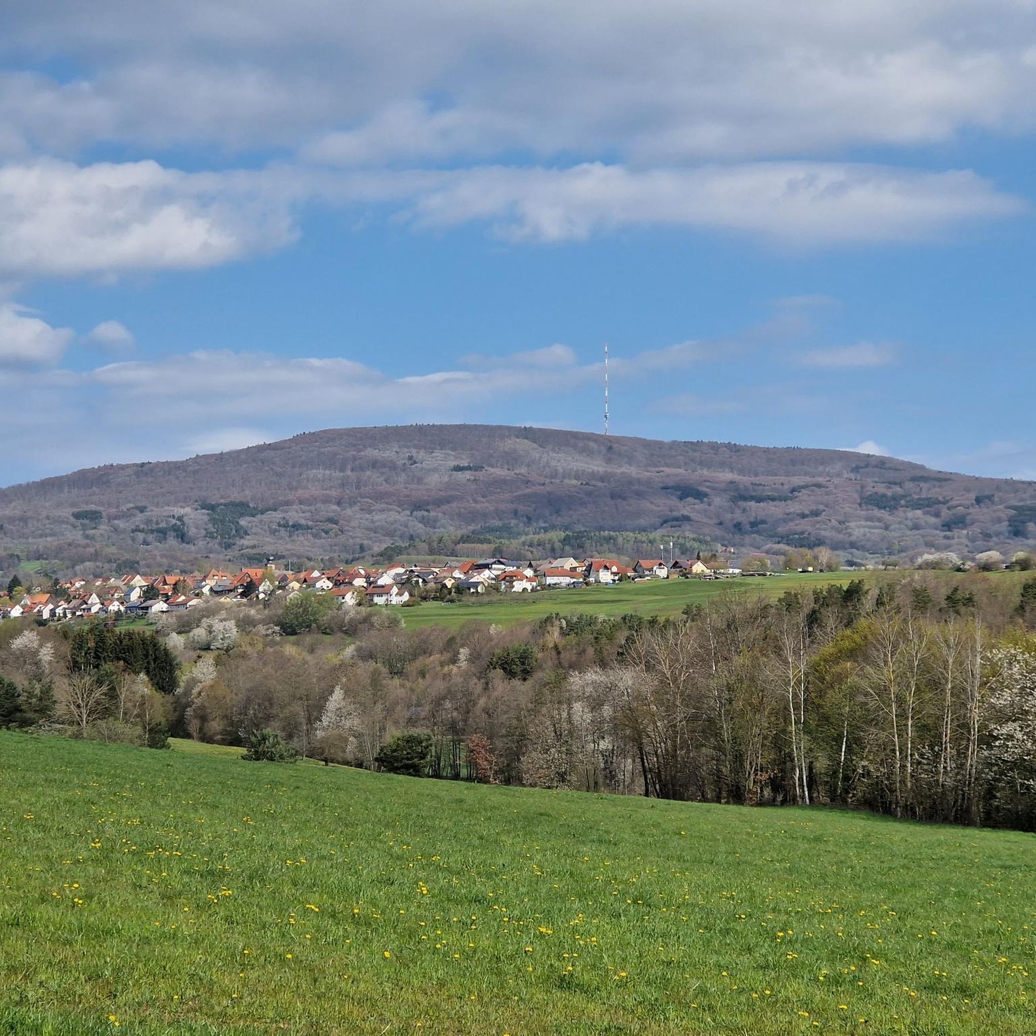
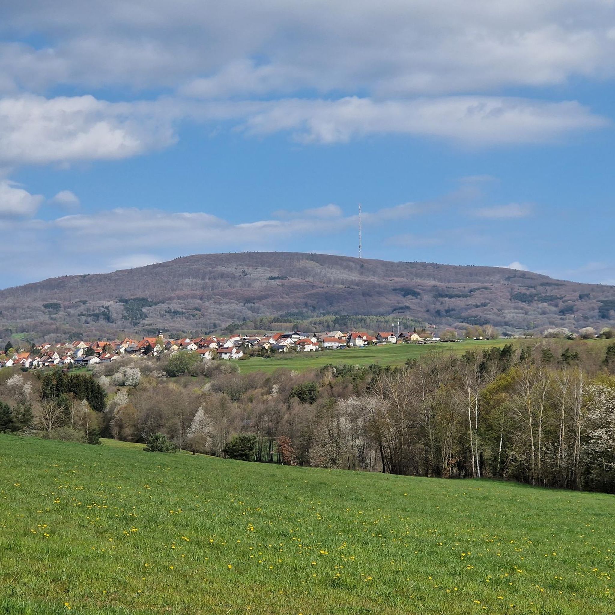
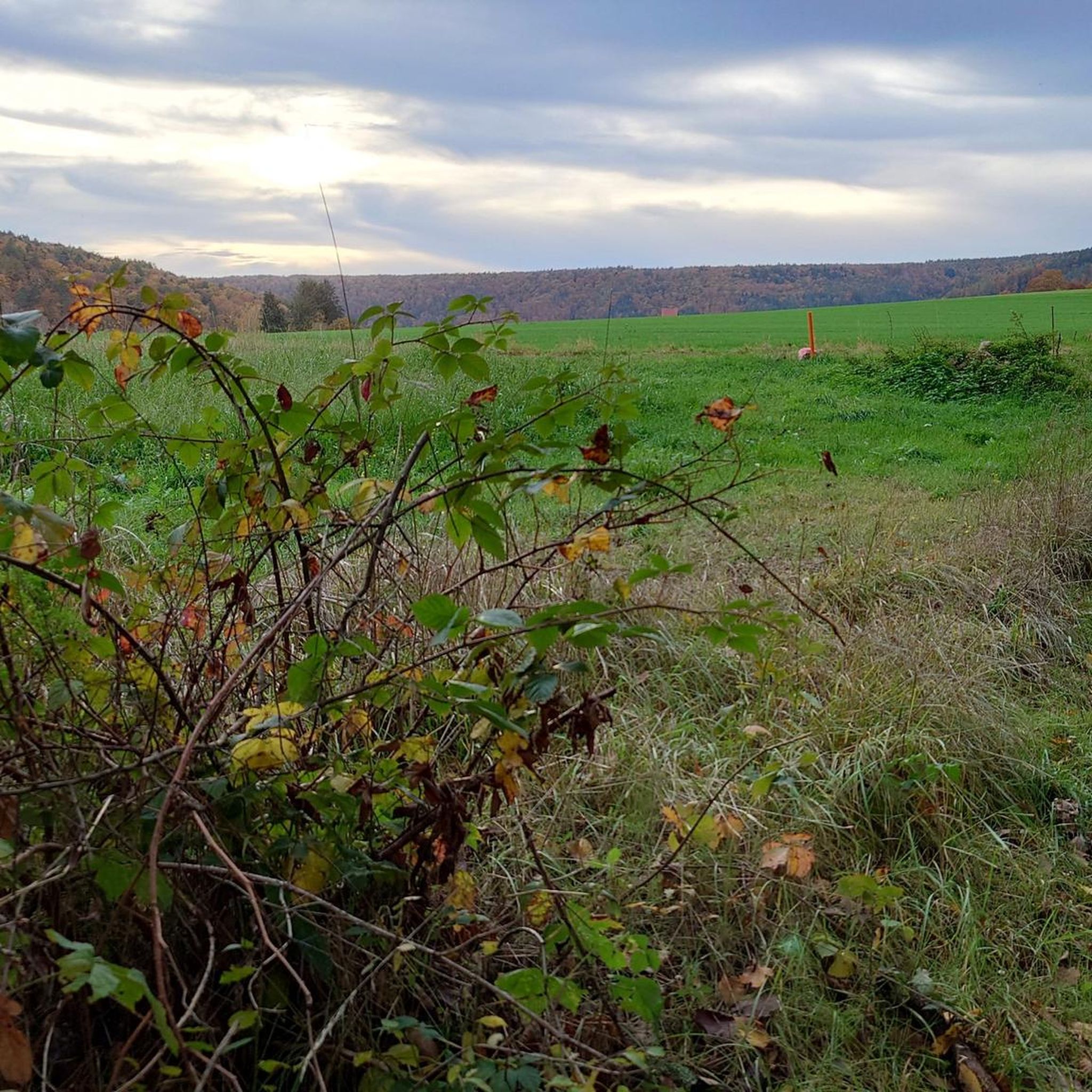
Tips from the Community

Great view from the Osterburg
0
0


You can stop by
3
0

Really nice and quiet in the morning. From 12pm onwards it is often very busy.
1
1

This small fountain is located on the way down from Kreuzberg to Neustädter Haus.
0
0

Very nice town with town hall.
5
0

Frequently Asked Questions
What level of fitness is required for mountaineering in Schmalwasser- Und Premichtal?
The mountaineering routes in Schmalwasser- Und Premichtal are generally considered demanding, suitable for alpine hiking and strenuous trekking. They often involve significant elevation changes and varied terrain, aligning with T2 and T3 levels of the Swiss Alpine Club (SAC) hiking scale. Therefore, good fitness and sure-footedness are essential for an enjoyable and safe experience.
Are there circular mountaineering routes in Schmalwasser- Und Premichtal?
Yes, many of the mountaineering routes in the region are circular. For example, you can explore the Marienbrünnlein – Kreuzberg Summit loop from Unterweißenbrunn, which offers a rewarding experience with an elevation gain of 488 meters over 13.6 km. Another popular option is the View from the summit of Kreuzberg – Kreuzberg Monastery loop from Bischofsheim in der Rhön, a 7.1 km path leading to the historic Kreuzberg Monastery.
What kind of terrain can I expect on these mountaineering routes?
You can expect diverse terrain, including varied forest paths and routes with significant elevation changes. Notable natural features include the Schmalwasser-Stausee (reservoir) and the Röllchenschlucht (gorge), which is a designated nature reserve. Some trails, like those around the reservoir, offer picturesque views from spots such as the Stummelberg rest area and the Meister-Eckhart Viewpoint.
What are some of the longer mountaineering routes in the region?
For those seeking longer challenges, the The steps up to Kreuzberg – Kreuzberg Monastery loop from Bischofsheim in der Rhön covers 15.1 km with over 500 meters of elevation gain. Another substantial route is the Marienbrünnlein – Kreuzberg Summit loop from Unterweißenbrunn, which is 13.6 km long.
Are there any interesting landmarks or natural features to see along the routes?
Absolutely. The region is rich in natural beauty and points of interest. You can encounter the scenic Schmalwasser-Stausee, the tranquil Walsbachtal, and the protected Röllchenschlucht nature reserve. While exploring, you might also come across amenities like a Drinking Water Fountain in Naturpark Bayerische Rhön, or specific trails like the Beerhahn Trail.
What do other mountaineers enjoy the most about mountaineering in Schmalwasser- Und Premichtal?
The routes in Schmalwasser- Und Premichtal are highly rated by the komoot community, with an average score of 3.0 stars. Mountaineers often praise the diverse terrain, the significant elevation changes that offer a good challenge, and the natural features like the Schmalwasser-Stausee and Röllchenschlucht that make for a rewarding outdoor experience.
Are the mountaineering routes in Schmalwasser- Und Premichtal suitable for families?
While the region offers demanding trails, some routes might be manageable for active families with older children who are accustomed to strenuous trekking and have good sure-footedness. However, the general character of these routes leans towards alpine hiking with potential for steep sections, so careful consideration of each family member's fitness level is advised. There are no specifically designated 'easy' routes in this mountaineering guide.
Can I bring my dog on the mountaineering routes?
The Schmalwasser- Und Premichtal region is generally dog-friendly, with many forest paths suitable for walks with your canine companion. However, given the demanding nature of some mountaineering routes, including potential steep sections and varied terrain, ensure your dog is fit enough for the challenge. Always keep your dog on a leash, especially in nature reserves like the Röllchenschlucht, and be mindful of local regulations and wildlife.
Are there any routes that lead to historical sites or monasteries?
Yes, several routes incorporate historical sites. The View from the summit of Kreuzberg – Kreuzberg Monastery loop from Bischofsheim in der Rhön leads directly to the historic Kreuzberg Monastery. Another option is the Osterburg castle ruins – Kreuzberg Monastery loop from Bischofsheim in der Rhön, which takes you past the Osterburg castle ruins before reaching the monastery.
What is the best time of year to go mountaineering in Schmalwasser- Und Premichtal?
The best time to go mountaineering in Schmalwasser- Und Premichtal is typically during the warmer months, from late spring to early autumn (May to October). During this period, the weather is generally more stable, and the trails are clear of snow and ice, making for safer and more enjoyable conditions. Always check local weather forecasts before heading out.
Are there facilities like cafes or pubs near the mountaineering routes?
The region, including areas around the Kreuzberg Monastery, often provides amenities such as cafes and pubs where you can refresh yourself after a strenuous hike. While specific locations vary, the presence of popular destinations like the monastery suggests that facilities for food and drink are available nearby.
How many mountaineering routes are available in Schmalwasser- Und Premichtal?
There are currently 4 mountaineering routes detailed in this guide for Schmalwasser- Und Premichtal, all of which are rated as moderate difficulty. These routes offer diverse experiences for those seeking challenging outdoor activities.
Most popular routes in Schmalwasser- Und Premichtal
Most popular attractions in Schmalwasser- Und Premichtal

Get inspired with the komoot mobile app


Explore more
Browse the best Mountain Hikes & Routes in other regions.
