The best MTB trails in Bayerische Hohe Rhön
4.9
(90)
304
riders
16
rides
Mountain biking in Bayerische Hohe Rhön offers diverse landscapes, characterized by rolling hills, expansive open plains, and dense forests. The region's volcanic origins have shaped varied terrain, including distinct basalt formations and high moors. Significant elevation changes, with trails ranging from 200 meters to over 900 meters, provide varied routes and challenges for mountain bikers. This UNESCO Biosphere Reserve ensures a well-preserved natural environment for outdoor pursuits.
Best mountain bike trails in Bayerische Hohe Rhön
- The most popular mountain bike…
Last updated: October 18, 2026
4.7
(74)
229
riders
Hard mountain bike ride. Very good fitness required. Advanced riding skills necessary.
5.0
(2)
12
riders
72.0km
06:13
1,490m
1,490m
Hard mountain bike ride. Very good fitness required. Advanced riding skills necessary.

5.0
(3)
12
riders
Hard mountain bike ride. Good fitness required. Advanced riding skills necessary. Some portions of the route may require you to push your bike.
4.5
(2)
4
riders
17.8km
01:25
320m
320m
Moderate mountain bike ride. Good fitness required. Advanced riding skills necessary.
4
riders
Moderate mountain bike ride. Good fitness required. Advanced riding skills necessary.
Get access to more routes and recommendations from other explorers.
Already have an account?
Our route recommendations are based on thousands of hikes, rides, and runs completed by other people on komoot.
Start today with a free account
Your next adventure awaits.
Popular around Bayerische Hohe Rhön

Extra tours South - Excellent premium hiking trails of the Rhön

Discover Rhön - Half-day tours through the biosphere reserve

Naturlehrpfade – Natur und Wissen

Discover the Green Belt in the Rhön with BUND

Hiking in the Rhön Mountains where nature and history combine
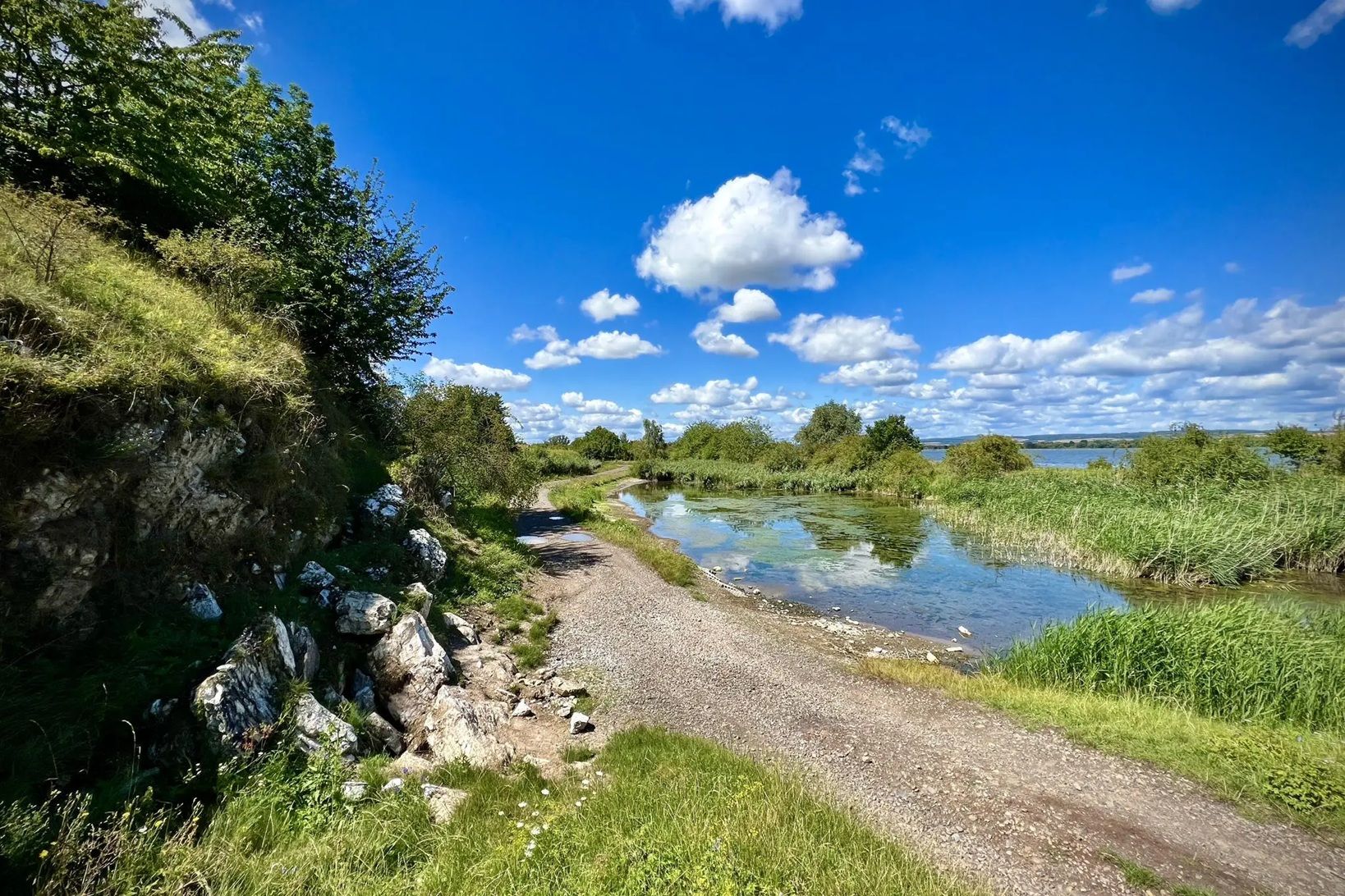
Die Nationalen Naturlandschaften in Thüringen

Rundwanderwege um Oberelsbach
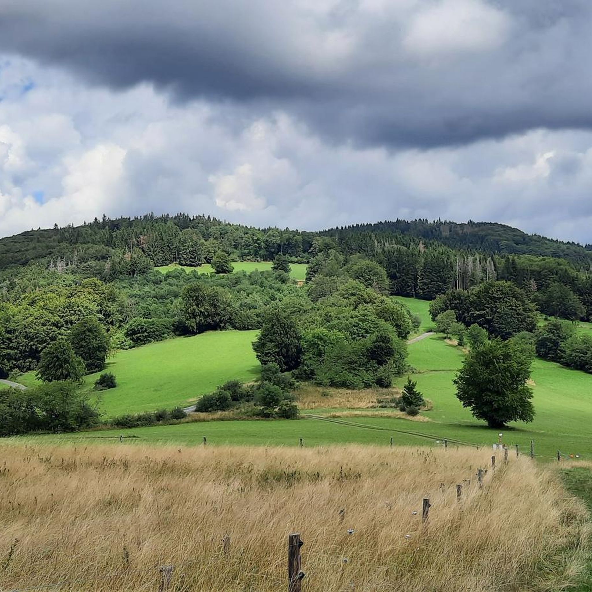
Hiking in Bayerische Hohe Rhön
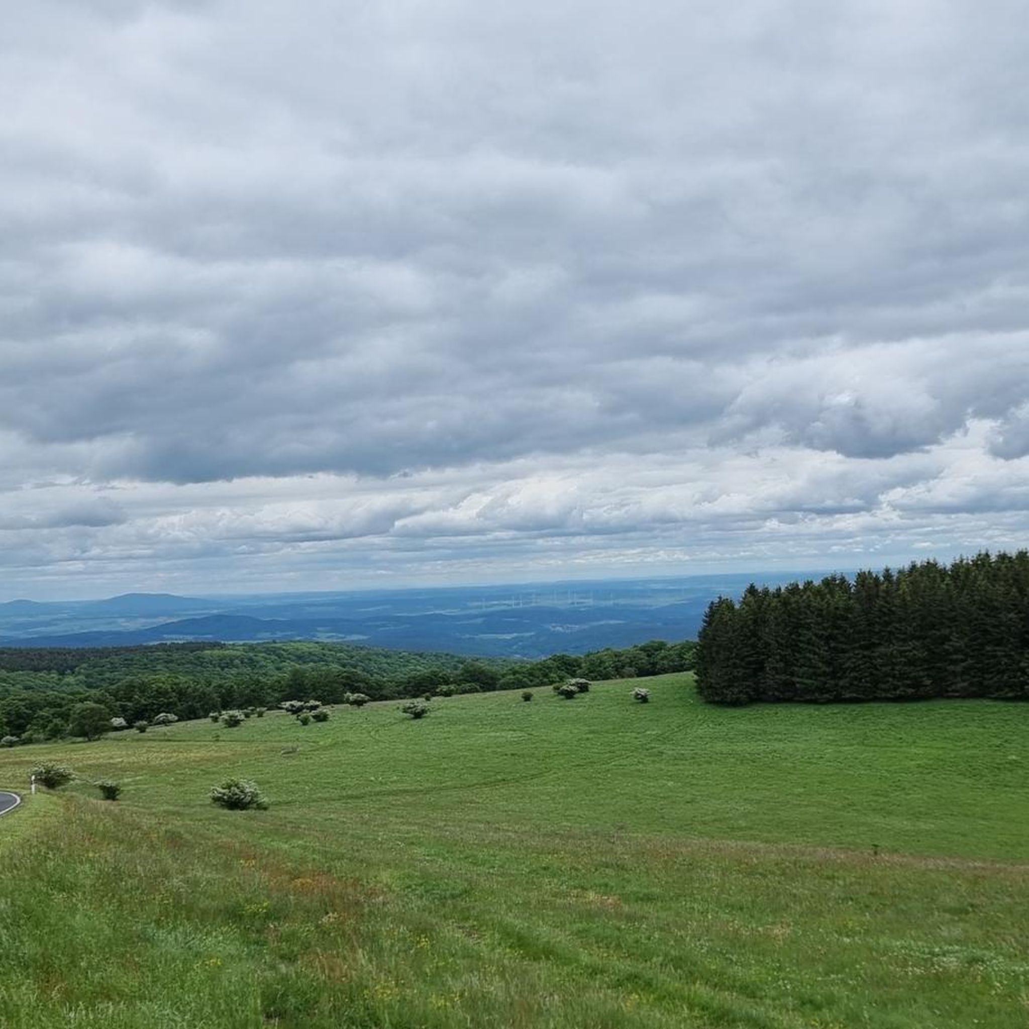
Road Cycling Routes in Bayerische Hohe Rhön
Cycling in Bayerische Hohe Rhön
Other adventures in Bayerische Hohe Rhön


Tips from the Community

View of the quarry! Simply great and impressive
0
0

Beautiful trail with a view over to the Kreuzberg, which leads directly up to the Osterburg.
1
0

Top friendly and helpful, simple accommodation with good, hearty food.
0
0

The place is called Schweinfurter Haus, but either you can't change it here or you need a degree in computer science for it!
0
0

Beer 🍺 is still brewed at the monastery.
0
0

Beautiful view into the Ulstertal valley
0
0

Hut with a beautiful view.
0
0

Beautiful path along the border to Gerstenstein
1
0
Frequently Asked Questions
How many mountain bike trails are available in Bayerische Hohe Rhön?
Bayerische Hohe Rhön offers a diverse network of nearly 20 mountain bike trails. These routes cater to various skill levels, including 4 easy, 13 moderate, and 2 difficult options, ensuring there's a suitable ride for almost everyone.
What kind of terrain can I expect when mountain biking in Bayerische Hohe Rhön?
The region's terrain is highly varied, shaped by its volcanic origins. You'll encounter rolling hills, expansive open plains, dense forests, and distinct basalt formations. Trails range from 200 to over 900 meters in elevation, offering significant vertical challenges and diverse landscapes for mountain bikers.
Are there any family-friendly mountain bike trails in Bayerische Hohe Rhön?
Yes, Bayerische Hohe Rhön has several easy and moderate trails suitable for families. While specific 'family-friendly' designations aren't always explicit, the 4 easy routes and many of the 13 moderate routes offer less technical terrain, allowing for enjoyable rides with varying fitness levels. Consider routes that explore the open plains or less steep forest paths.
What are some notable natural features or viewpoints to see while mountain biking?
The region is rich in natural beauty and panoramic views. You can explore unique high moors like the Schwarzes Moor, which is part of the UNESCO Biosphere Reserve. For breathtaking vistas, consider routes that pass by the Himmeldunkberg summit or the Heidelstein summit. The 'Lange Rhön' also offers extensive open mountain meadows with far-reaching views.
Are there any circular mountain bike trails in Bayerische Hohe Rhön?
Many of the mountain bike trails in Bayerische Hohe Rhön are designed as loops, allowing you to start and finish at the same point. Examples include the challenging Jagdschloss Holzberghof – Heidelstein Sender Trail loop or the moderate Jagdschloss Holzberghof – Black Moor loop, both starting from Feuchtbereiche am Steizbrunn-Graben.
What is the best time of year for mountain biking in Bayerische Hohe Rhön?
The best time for mountain biking in Bayerische Hohe Rhön is generally from spring through autumn. The region's elevation means cooler temperatures in the summer months, making for more comfortable rides. Spring offers blooming landscapes, while autumn provides vibrant foliage. Always check local weather conditions before heading out, as winter can bring snow and ice, making some trails impassable.
What do other mountain bikers say about the trails in Bayerische Hohe Rhön?
The mountain bike trails in Bayerische Hohe Rhön are highly regarded by the komoot community, holding an average rating of 4.8 stars from over 90 reviews. Over 300 mountain bikers have explored the region using komoot, often praising the diverse landscapes, challenging ascents, and the well-preserved natural environment of the UNESCO Biosphere Reserve.
Are there any historical sites or attractions accessible by mountain bike?
Yes, you can combine your mountain biking with visits to historical sites. For instance, the Osterburg castle ruins – Kreuzberg Monastery loop allows you to explore the historic Kreuzberg, known as the 'sacred mountain of the Franks' and a pilgrimage site, which also offers fantastic views.
Where can I find parking for mountain biking trails in Bayerische Hohe Rhön?
While specific parking locations for every trail are not detailed, many routes start from accessible points like Feuchtbereiche am Steizbrunn-Graben or Riedenberg, which typically offer designated parking areas for outdoor enthusiasts. It's advisable to check the starting points of individual routes on komoot for precise parking information.
Are there any challenging mountain bike trails for experienced riders?
Absolutely. Bayerische Hohe Rhön offers challenging routes for experienced mountain bikers. The region features significant elevation changes and some difficult single trails. A notable difficult route is the Jagdschloss Holzberghof – Heidelstein Sender Trail loop, which covers 45.9 km with over 900 meters of ascent, providing a demanding ride with panoramic views.
Can I access mountain bike trails using public transport in Bayerische Hohe Rhön?
While the region is well-suited for outdoor activities, direct public transport access to every trail start point can vary. Some larger towns and villages in the Rhön are served by buses, which might connect to areas near trailheads. For specific routes, it's recommended to check local public transport schedules and accessibility to the starting points mentioned in the tour descriptions.
Are there any unique geological formations to see on the trails?
Yes, the volcanic origins of the Rhön have left behind distinct geological features. You can encounter dark basalt rock formations, particularly in the 'Black Mountains' area. Some routes, like the View of the Teufels Tintenfass – Würzburger Karl-Straub-Haus loop, pass by features such as the Basalt Lake Tintenfass, showcasing the region's unique geology.
Most popular routes in Bayerische Hohe Rhön
Most popular attractions in Bayerische Hohe Rhön

Get inspired with the komoot mobile app


Explore more
Browse the best MTB trails in other regions.
