The best walks and hikes in Bayerische Hohe Rhön
4.6
(11232)
40,022
hikers
363
hikes
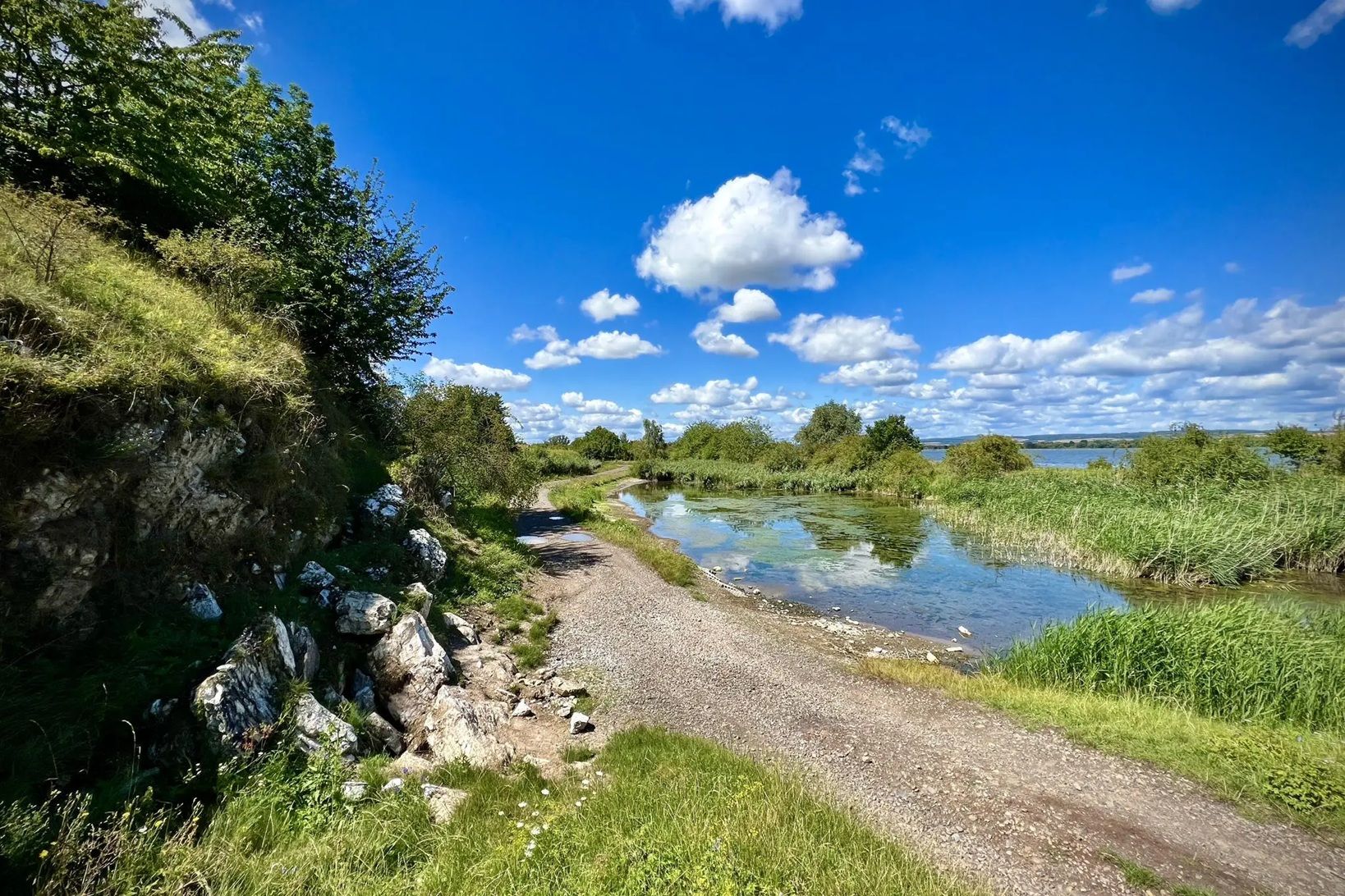
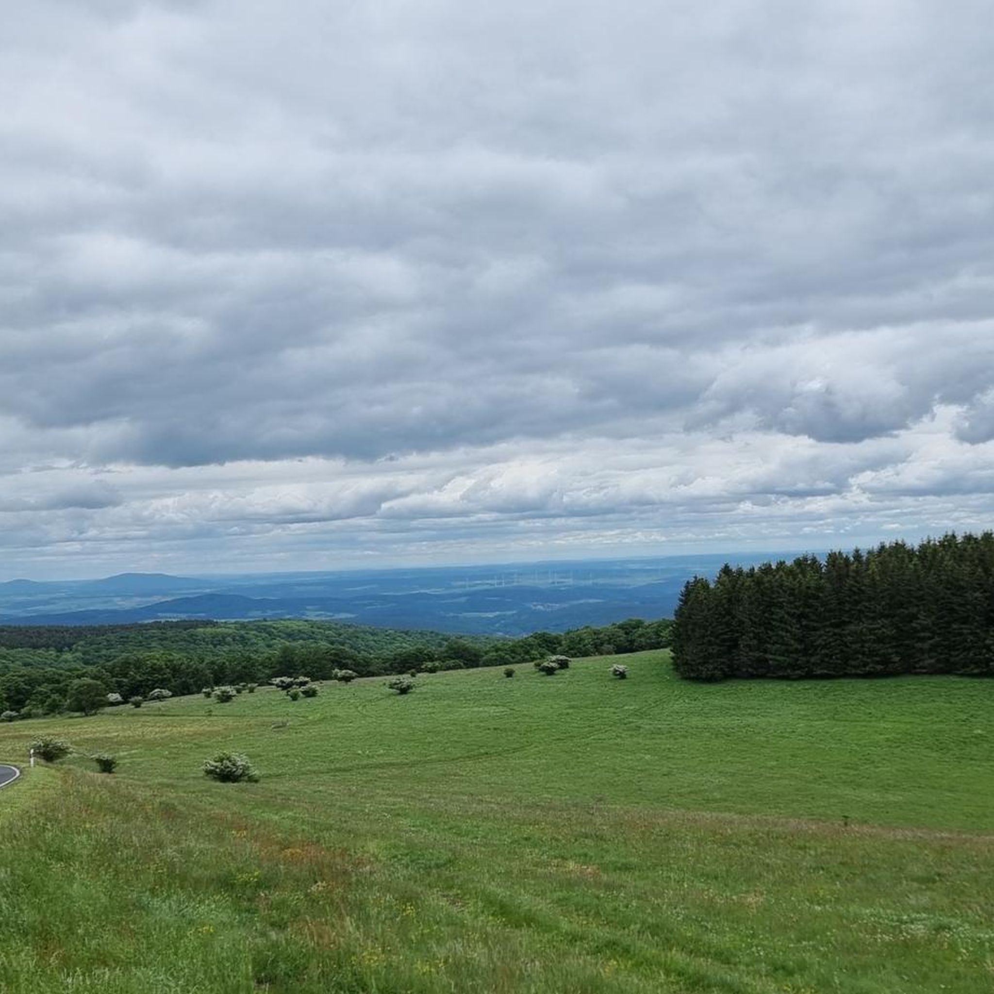
Hiking in Bayerische Hohe Rhön is characterized by its "land of open distances," featuring expansive, unforested mountain plateaus that offer panoramic views. The region's geology is shaped by ancient volcanic activity, resulting in distinctive basalt formations and high peaks like the Kreuzberg (928m). As a UNESCO Biosphere Reserve, it encompasses diverse ecosystems, including mixed forests, high moors, and grasslands. This varied terrain provides a range of hiking experiences across its elevations.
Best hiking trails in Bayerische Hohe Rhön
- The most popular hiking route is Extratour Kreuzbergtour - Bischofsheim - Rhön, an 8.2 miles (13.3 km) trail that takes 4 hours 1 minute to complete. This moderate route ascends towards the prominent Kreuzberg, offering views of the surrounding landscape.
- Another top favourite among local hikers is Extratour Hochrhöntour - Oberelsbach - Rhön, a moderate 9.2 miles (14.8 km) path. This trail traverses the open, rolling hills characteristic of the Hohe Rhön.
- Local hikers also love the Schwarzes Moor Nature Trail – nature and knowledge in the Rhön, a 2.0 miles (3.2 km) trail leading through the significant Black Moor, often completed in about 1 hour 8 minutes.
- Hiking in Bayerische Hohe Rhön is defined by its volcanic origins, expansive open plateaus, and diverse ecosystems including moors, grasslands, and forests. The network offers options for different ability levels, from easy nature trails to more challenging ascents.
- The routes in Bayerische Hohe Rhön are highly rated by the komoot community with an average score of 4.6 stars from over 9,000 reviews. More than 36,000 hikers have used komoot to explore Bayerische Hohe Rhön's varied terrain.
Last updated: July 7, 2026
4.8
(829)
2,901
hikers
13.3km
04:01
450m
450m
Moderate hike. Good fitness required. Mostly accessible paths. Sure-footedness required.
4.9
(1037)
3,029
hikers
14.8km
04:12
330m
320m
Moderate hike. Good fitness required. Easily-accessible paths. Suitable for all skill levels.

Sign up for free
4.8
(995)
4,086
hikers
Easy hike. Great for any fitness level. Easily-accessible paths. Suitable for all skill levels.
4.8
(344)
1,098
hikers
10.3km
03:05
330m
330m
Moderate hike. Good fitness required. Easily-accessible paths. Suitable for all skill levels.
4.6
(407)
1,225
hikers
10.5km
02:51
150m
150m
Moderate hike. Good fitness required. Easily-accessible paths. Suitable for all skill levels.
Get access to more routes and recommendations from other explorers.
Sign up for free
Already have an account?
Our route recommendations are based on thousands of hikes, rides, and runs completed by other people on komoot.
Start today with a free account
Your next adventure awaits.
Login or Signup
Popular around Bayerische Hohe Rhön

Extra tours South - Excellent premium hiking trails of the Rhön

Discover Rhön - Half-day tours through the biosphere reserve

Naturlehrpfade – Natur und Wissen

Discover the Green Belt in the Rhön with BUND

Hiking in the Rhön Mountains where nature and history combine
Die Nationalen Naturlandschaften in Thüringen

Rundwanderwege um Oberelsbach
Road Cycling Routes in Bayerische Hohe Rhön
Cycling in Bayerische Hohe Rhön
Running Trails in Bayerische Hohe Rhön
Other adventures in Bayerische Hohe Rhön


Tips from the Community

Just a bench! But with a nice view.
0
0

the picture is self-explanatory - simply wonderful for the soul
1
0
Every view on this tour over the "open distances" is an experience
0
0

The moss-covered stones lie right next to the hiking trail. A truly beautiful sight!
7
0


A great place to rest in slightly finer winter weather
15
0

If you are there at the right time of year, the cottongrass is impressively beautiful.
0
0
The Ulster Valley is beautiful and very typical for the Rhön. The very famous Rhön trout can be found here.
1
0
Frequently Asked Questions
How many hiking trails are there in Bayerische Hohe Rhön?
Bayerische Hohe Rhön offers a wide variety of hiking experiences with over 360 routes available. These include 145 easy trails, 179 moderate paths, and 41 challenging routes, catering to all skill levels.
What kind of terrain can I expect when hiking in Bayerische Hohe Rhön?
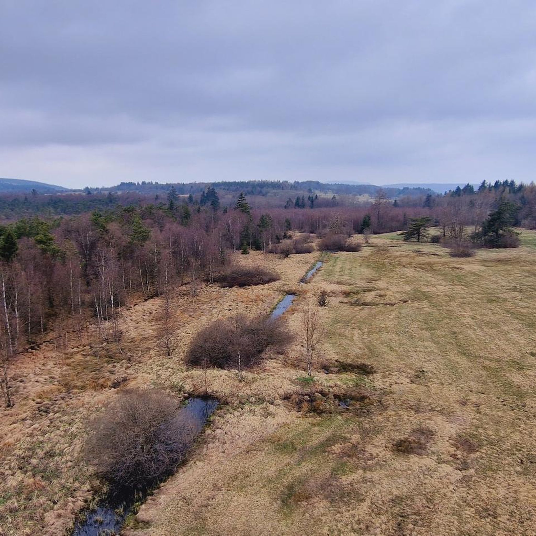
The region is known as the "land of open distances," featuring expansive, unforested mountain plateaus that provide sweeping panoramic views. You'll encounter diverse terrain shaped by ancient volcanic activity, including distinctive basalt formations, mixed forests, high moors like the Schwarzes Moor, grasslands, and dry biotopes.
Are there any family-friendly hiking trails in Bayerische Hohe Rhön?
Yes, Bayerische Hohe Rhön has numerous family-friendly options. The Schwarzes Moor Nature Trail is an easy 3.2 km route, perfect for families with children, offering an educational experience through a significant moor landscape. Many other easy trails are available, providing gentle walks suitable for all ages.
What are the best viewpoints in Bayerische Hohe Rhön?
The region's open plateaus and high peaks offer exceptional panoramic views. Prominent spots include the Kreuzberg (928m), known as the "Holy Mountain of the Franconians," and the Wasserkuppe (950.2m), the highest mountain in the Rhön range. You can also find stunning vistas from summits like Himmeldunkberg and Heidelstein.
Are there any circular walks available in Bayerische Hohe Rhön?
Yes, many routes in Bayerische Hohe Rhön are designed as circular walks. An example is the Rhön Circular Trail 1 Schwarzes Moor, a moderate 10.5 km loop. These trails allow you to start and end at the same point, making logistics easier.
What kind of natural features can I see while hiking?
As a UNESCO Biosphere Reserve, the Rhön boasts a rich variety of natural features. You can explore ancient volcanic basalt formations, high moors with unique Ice Age flora like the Schwarzes Moor, diverse mixed forests, and expansive grasslands. Keep an eye out for seasonal wildflowers such as orchids and autumn crocus.
What cultural landmarks or attractions can I find along the trails?
Hikers can discover several cultural and historical sites. The Franciscan monastery on the Kreuzberg offers spiritual significance and refreshments. You can also visit the Golgotha group (Three Crosses) on the Kreuzberg, or explore the historic Celtic oppidum on the volcanic Milseburg. Educational trails also explain geological and cultural history.
What do other hikers enjoy most about hiking in Bayerische Hohe Rhön?
The area is highly rated by the komoot community, with an average score of 4.6 stars from over 9,000 reviews. Hikers often praise the region's expansive panoramic views, the well-maintained trails, and the unique combination of volcanic landscapes and diverse ecosystems.
Are there any long-distance hiking trails in the region?
Yes, the acclaimed DER HOCHRHÖNER Premium Hiking Trail traverses the region. This long-distance trail, considered one of Germany's most beautiful, offers variants around 120-140 km and connects spa towns, providing varied landscapes and historical insights across three federal states.
Can I find places to eat or stay near the hiking trails?
Yes, you can find options for refreshments and accommodation. The Franciscan monastery on the Kreuzberg is known for offering refreshments. Additionally, the region has huts like the Gemündener Hut, and various towns and villages offer cafes, pubs, and accommodation for hikers.
What is the best time of year to hike in Bayerische Hohe Rhön?
The Bayerische Hohe Rhön is beautiful year-round, but spring and autumn are particularly popular. Spring brings vibrant wildflowers, while autumn offers stunning foliage. The open landscapes provide excellent visibility in clear weather, making it enjoyable across seasons, though some areas might be challenging in winter snow.
Are there any easy hikes for beginners?
Absolutely. With 145 easy routes, beginners have plenty of choices. The Schwarzes Moor Nature Trail is a prime example, offering a gentle 3.2 km walk through a unique natural landscape, ideal for those new to hiking or looking for a relaxed experience.
Most popular routes in Bayerische Hohe Rhön
Most popular attractions in Bayerische Hohe Rhön

Get inspired with the komoot mobile app


Explore more
Browse the best Hikes in other regions.
