Naturschutzgebiet Tetenhusener Moor
Naturschutzgebiet Tetenhusener Moor
The best road cycling routes in Naturschutzgebiet Tetenhusener Moor
4.6
(37)
501
riders
85
rides
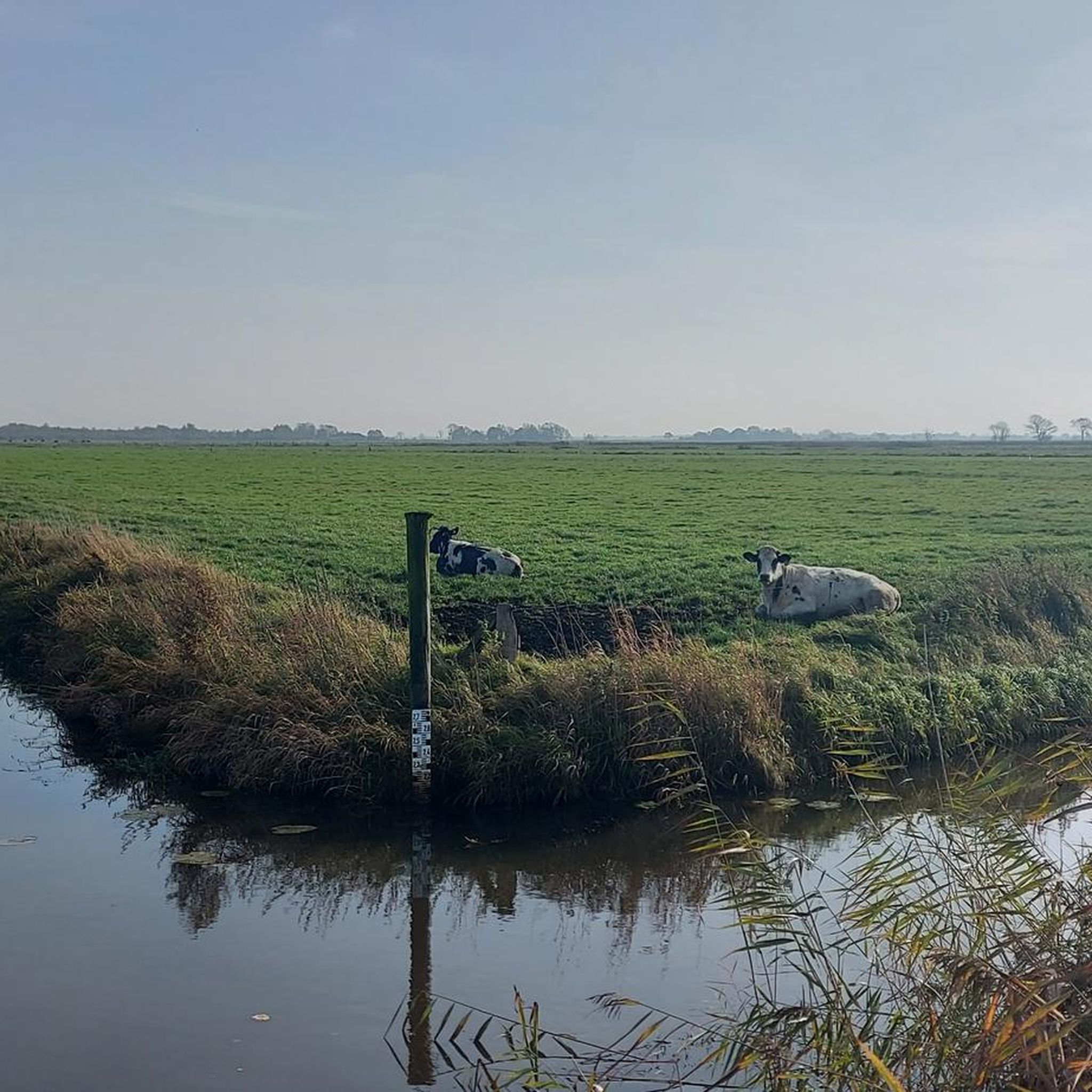
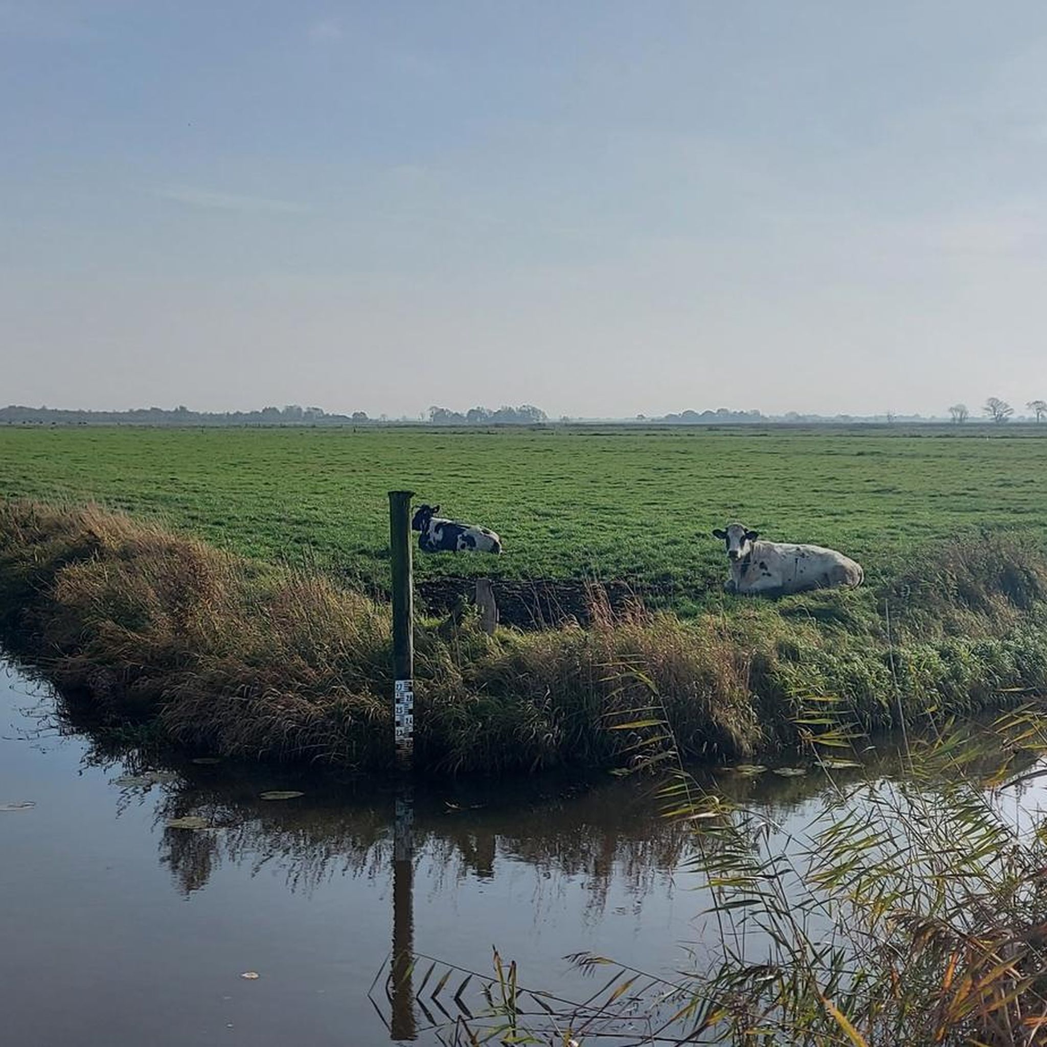
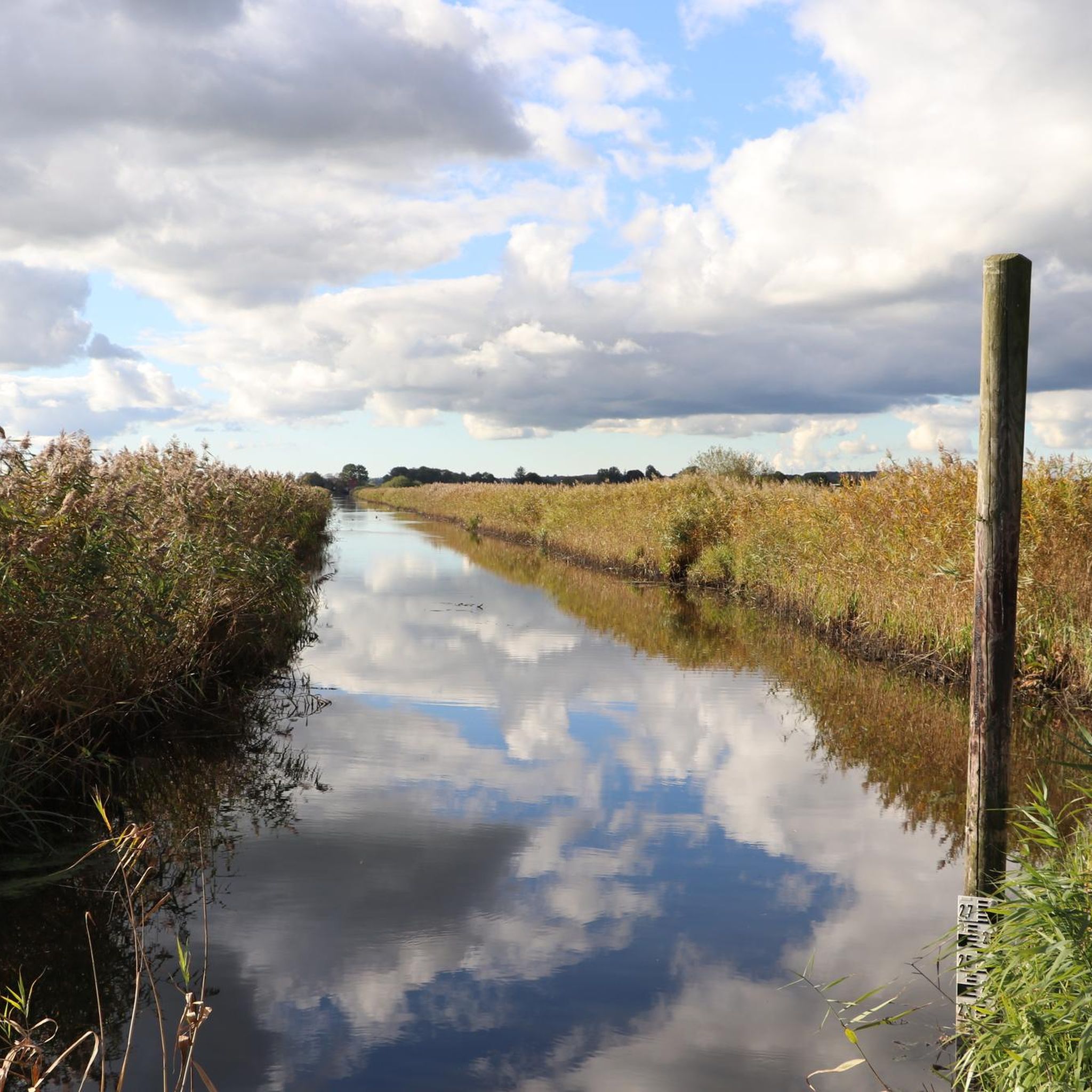
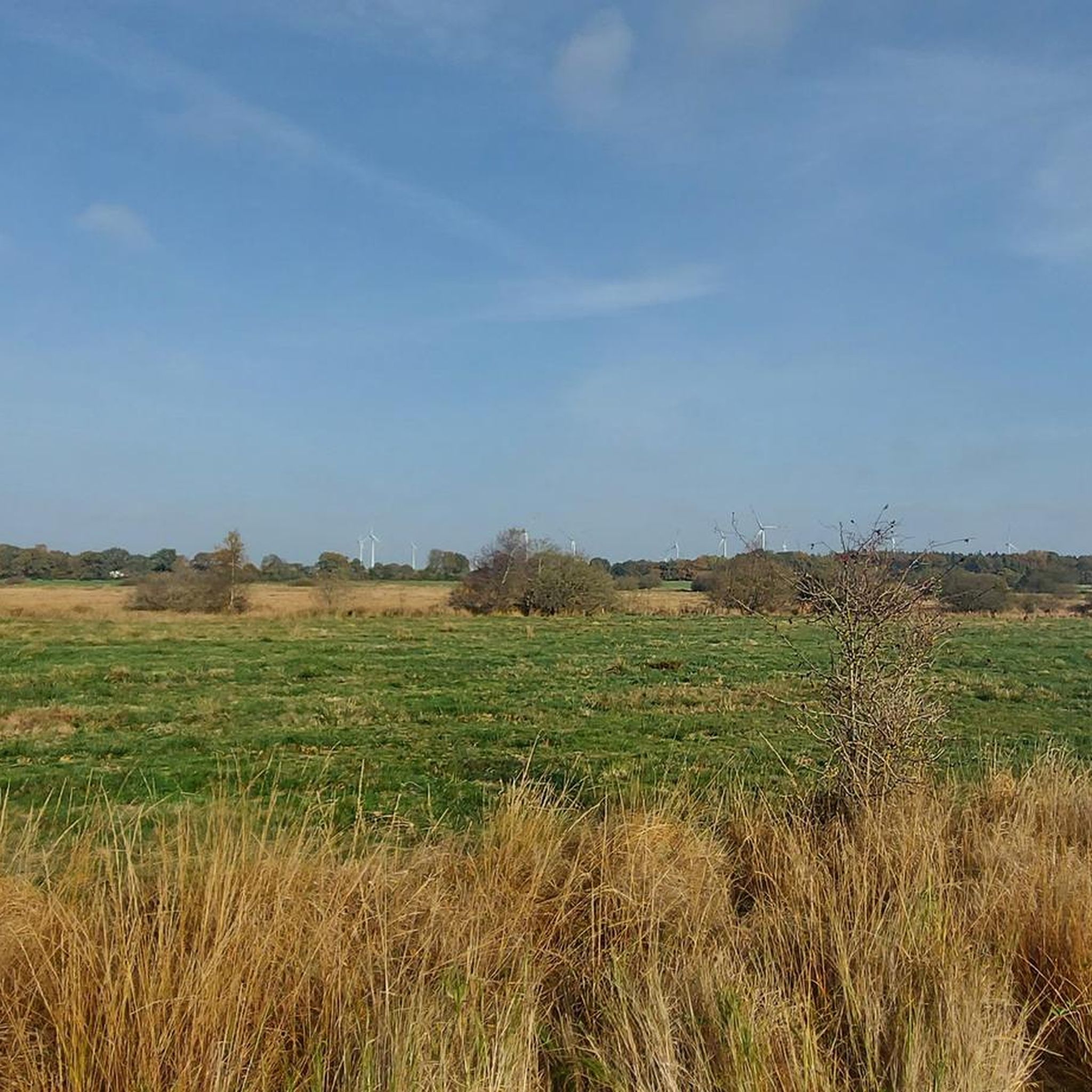
Road cycling routes in Naturschutzgebiet Tetenhusener Moor traverse a unique landscape characterized by an Atlantic raised bog and the surrounding Eider-Treene-Sorge river landscape. This low-lying region offers expansive, open views across moorlands, meadows, and some forested areas. While some paths directly within the moor can be challenging for road bikes, the broader area features mostly paved surfaces suitable for various road cycling routes.
Best road cycling routes in Naturschutzgebiet Tetenhusener Moor
- The most popular road cycling route is View of…
Last updated: July 10, 2026
3
riders
Easy road ride. Great for any fitness level. Mostly well-paved surfaces and easy to ride.
4
riders
70.8km
03:01
210m
210m
Moderate road ride. Good fitness required. Some segments of this route may be unpaved and difficult to ride.

Sign up for free
8
riders
Moderate road ride. Good fitness required. Some segments of this route may be unpaved and difficult to ride.
1
riders
50.9km
02:11
110m
110m
Moderate road ride. Good fitness required. Some segments of this route may be unpaved and difficult to ride.
3
riders
70.1km
03:01
170m
170m
Moderate road ride. Good fitness required. Mostly well-paved surfaces and easy to ride.
Get access to more routes and recommendations from other explorers.
Sign up for free
Already have an account?
Our route recommendations are based on thousands of hikes, rides, and runs completed by other people on komoot.
Start today with a free account
Your next adventure awaits.
Login or Signup
Popular around Naturschutzgebiet Tetenhusener Moor
Tips from the Community

Currently being rebuilt - currently looked closed (as of May/2025).
1
0

The short detour is worth it 👍
0
0

The name "North Sea port of Haithabu" arouses interest in the historical significance of Hollingstedt in the Middle Ages and during the Viking Age. The excavation results of the State Archaeological Office are permanently exhibited and explained in the "Hollinghuus" museum. The additional circular route "Around Hollinghuus", which is equipped with ten information boards, explains important points in the landscape of Hollingstedt.
0
0

Opening hours Saturdays and on request. See website. Village meeting every last Wednesday of the month.
0
0
A nice stopover for a chat. A place of education since 1876. A historic village school classroom. Many exhibits from the village community's learning environment.
0
0
A small museum showcasing the village's educational heritage. A historic schoolroom! The house, dating from 1876, is located just a few meters from Hollinghus. Open Saturdays or by appointment. A fascinating glimpse into village life during the Kaiser's reign. A classic, stately building constructed of yellow brick. The teacher's living room features a polyphonic record player. An entertaining stop. Admission is by donation, and coffee is available.
0
0

Nice place for a little break 👍
0
0

The Waldemarsmauer represents the most significant expansion phase of the Danevirke. In the 2nd half of the 12th century AD, the Danish King Waldemar I (*1131 – †1182) had the main rampart of the Danevirke reinforced with a brick wall. These were a novelty as a building material in Northern Europe. Waldemar wanted to protect the Danish realm from raids by the Slavs and Saxons and at the same time demonstrate foreign policy strength. The wall represents the largest and oldest secular building made of bricks in Northern Europe and can today be visited as a ruin 80 meters long. Source: https://www.kuladig.de/Objektansicht/KLD-275664
3
0
Frequently Asked Questions
How many road cycling routes are available in Naturschutzgebiet Tetenhusener Moor?
There are over 85 road cycling routes available in Naturschutzgebiet Tetenhusener Moor and its surrounding areas. These routes cater to various skill levels, with 33 easy and 54 moderate options.
What kind of terrain can I expect on road cycling routes in Naturschutzgebiet Tetenhusener Moor?
The region primarily offers routes with mostly paved surfaces, making them suitable for road bikes. While some paths directly within the core moorland might be sandy or uneven, the broader Eider-Treene-Sorge river landscape provides excellent, smooth cycling conditions through meadows and open areas.
Are there any family-friendly road cycling routes in the area?
Yes, many routes in Naturschutzgebiet Tetenhusener Moor are suitable for families, especially the easier ones. For example, the View of the Windmill – Painted Utility Box Kropp loop from Meggerdorf is an easy 19-mile route offering tranquil, open views that can be enjoyed by cyclists of varying abilities.
What natural features or wildlife can I see while road cycling here?
The region is known for its unique Atlantic raised bog ecosystem. You might spot specialized flora like sphagnum moss, cotton grass, and sundew. It's also a vital bird protection area, so keep an eye out for species such as cranes, curlews, and black terns, especially during resting periods when whooper and Bewick's swans can be seen.
What is the best time of year for road cycling in Naturschutzgebiet Tetenhusener Moor?
The best time for road cycling is generally from spring through autumn when the weather is mild and the natural landscape is most vibrant. The open moorland can be exposed, so checking weather forecasts is always a good idea.
Are there any circular road cycling routes available?
Yes, many of the road cycling routes in Naturschutzgebiet Tetenhusener Moor are designed as loops, allowing you to start and end at the same point. An example is the Stork Village Bergenhusen – Shaded Road Section loop from Meggerdorf, a moderate 44-mile path exploring the scenic river landscape.
Where can I find parking for road cycling routes?
While specific parking areas for each route vary, the broader region around Naturschutzgebiet Tetenhusener Moor, including towns like Meggerdorf and Klein Bennebek, typically offers public parking options suitable for accessing the cycling network. It's advisable to check local parking availability for your chosen starting point.
What do other road cyclists enjoy most about the routes in Naturschutzgebiet Tetenhusener Moor?
The routes are highly rated by the komoot community, with an average score of 4.7 stars from over 30 reviews. Cyclists often praise the expansive, open views across the moorlands and meadows, the tranquility of the Eider-Treene-Sorge river landscape, and the generally well-paved surfaces that make for enjoyable road biking.
Are there any specific landmarks or points of interest along the road cycling routes?
While the primary attraction is the unique natural landscape of the raised bog and river lowlands, routes often pass through charming villages and offer glimpses of local architecture. The St. Peter's Church, Ostenfeld – Stork Village Bergenhusen loop from Klein Bennebek, for instance, takes you past notable local sights.
Can I reach the road cycling routes using public transport?
Access to the region by public transport is possible, though it might require some planning. Regional bus services connect some of the smaller towns and villages surrounding Naturschutzgebiet Tetenhusener Moor. It's recommended to research specific bus routes and schedules that align with your chosen starting point.
Are there cafes or pubs near the road cycling routes for a break?
Yes, the villages and towns surrounding Naturschutzgebiet Tetenhusener Moor, such as Meggerdorf, Kropp, and Klein Bennebek, offer various options for refreshments, including cafes and pubs where you can take a break during your ride.
What is the difficulty level of road cycling in Naturschutzgebiet Tetenhusener Moor?
The area offers a range of difficulties. You'll find 33 easy routes, perfect for a relaxed ride, and 54 moderate routes that provide a bit more challenge. The terrain is generally low-lying with minimal elevation changes, making it accessible for most road cyclists.
Most popular routes in Naturschutzgebiet Tetenhusener Moor

Get inspired with the komoot mobile app


Explore more
Browse the best Road cycling routes in other regions.
