The best walks and hikes in Naturschutzgebiet Tetenhusener Moor
4.6
(712)
2,617
hikers
187
hikes
Hiking trails in Naturschutzgebiet Tetenhusener Moor traverse a distinctive Atlantic raised bog landscape, part of the Eider-Treene-Sorge river system in Schleswig-Holstein. This nature reserve, spanning 205 hectares, is characterized by nutrient-poor, acidic, and wet environments primarily fed by rainwater. Hikers will encounter typical high moor vegetation, including various sphagnum mosses, cotton grass, and insectivorous plants like sundew in former peat cuttings. The terrain is generally flat with minimal elevation gain, making it accessible for various fitness levels.
Best hiking trails…
Last updated: July 15, 2026
7
hikers
5.05km
01:17
10m
10m
Easy hike. Great for any fitness level. Easily-accessible paths. Suitable for all skill levels.
1
hikers
Moderate hike. Good fitness required. Easily-accessible paths. Suitable for all skill levels.

Sign up for free
3.8
(4)
25
hikers
5.17km
01:18
0m
0m
Easy hike. Great for any fitness level. Easily-accessible paths. Suitable for all skill levels.
4.6
(12)
24
hikers
Moderate hike. Good fitness required. Easily-accessible paths. Suitable for all skill levels.
4.8
(5)
14
hikers
Moderate hike. Good fitness required. Easily-accessible paths. Suitable for all skill levels.
Get access to more routes and recommendations from other explorers.
Sign up for free
Already have an account?
Our route recommendations are based on thousands of hikes, rides, and runs completed by other people on komoot.
Start today with a free account
Your next adventure awaits.
Login or Signup
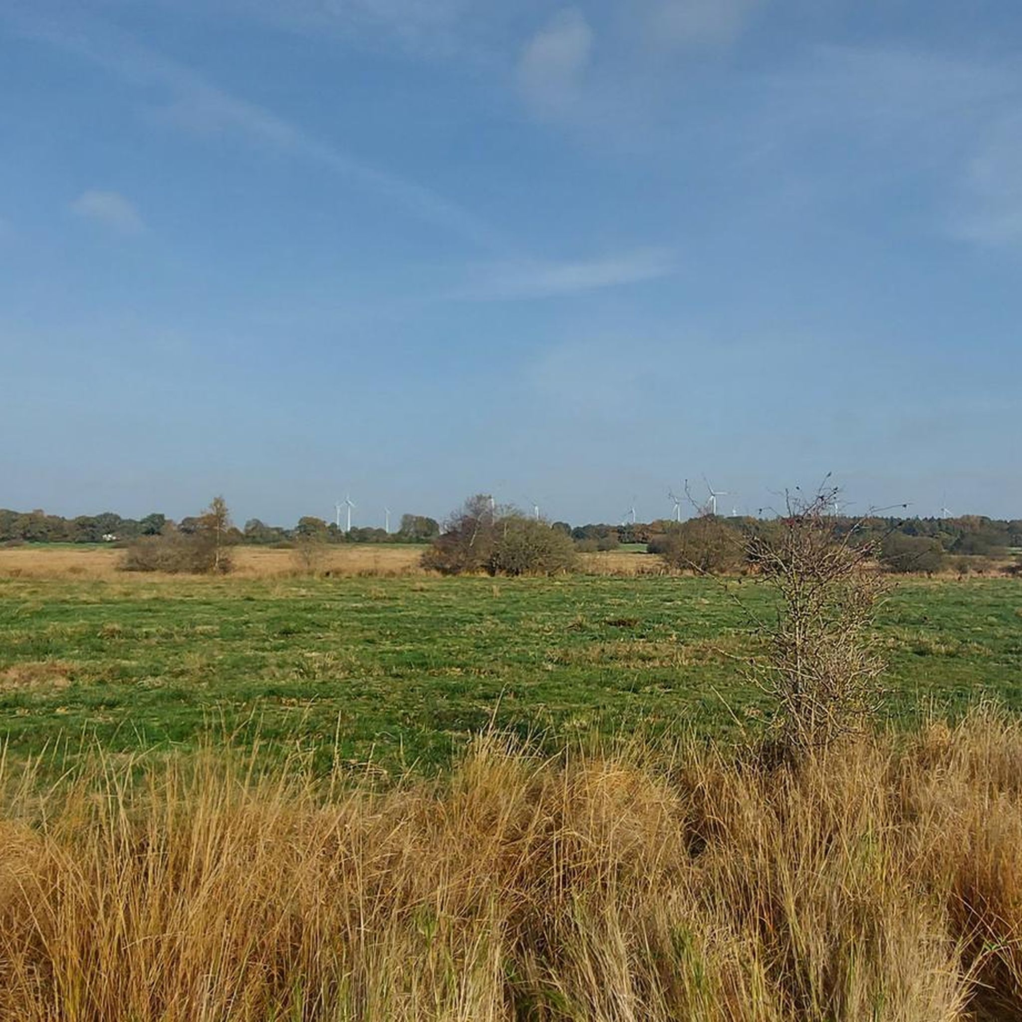
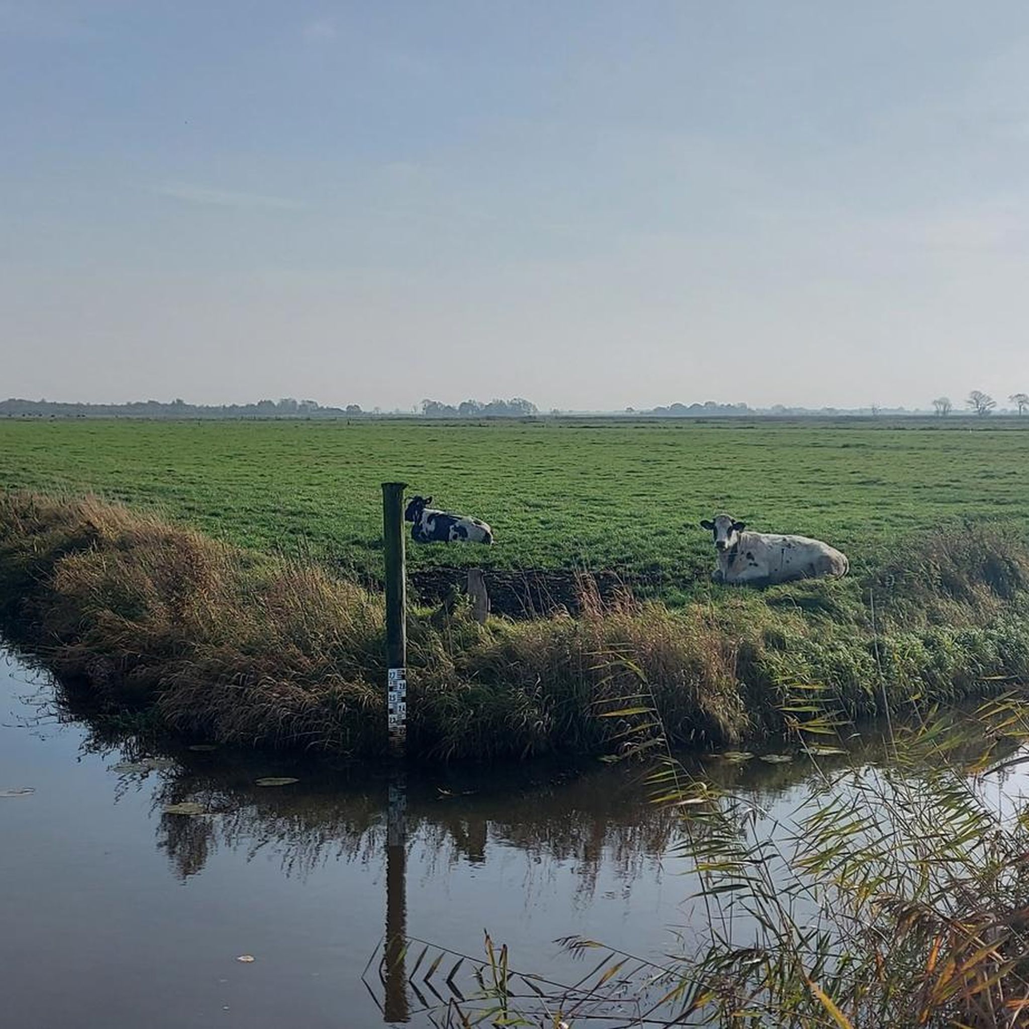
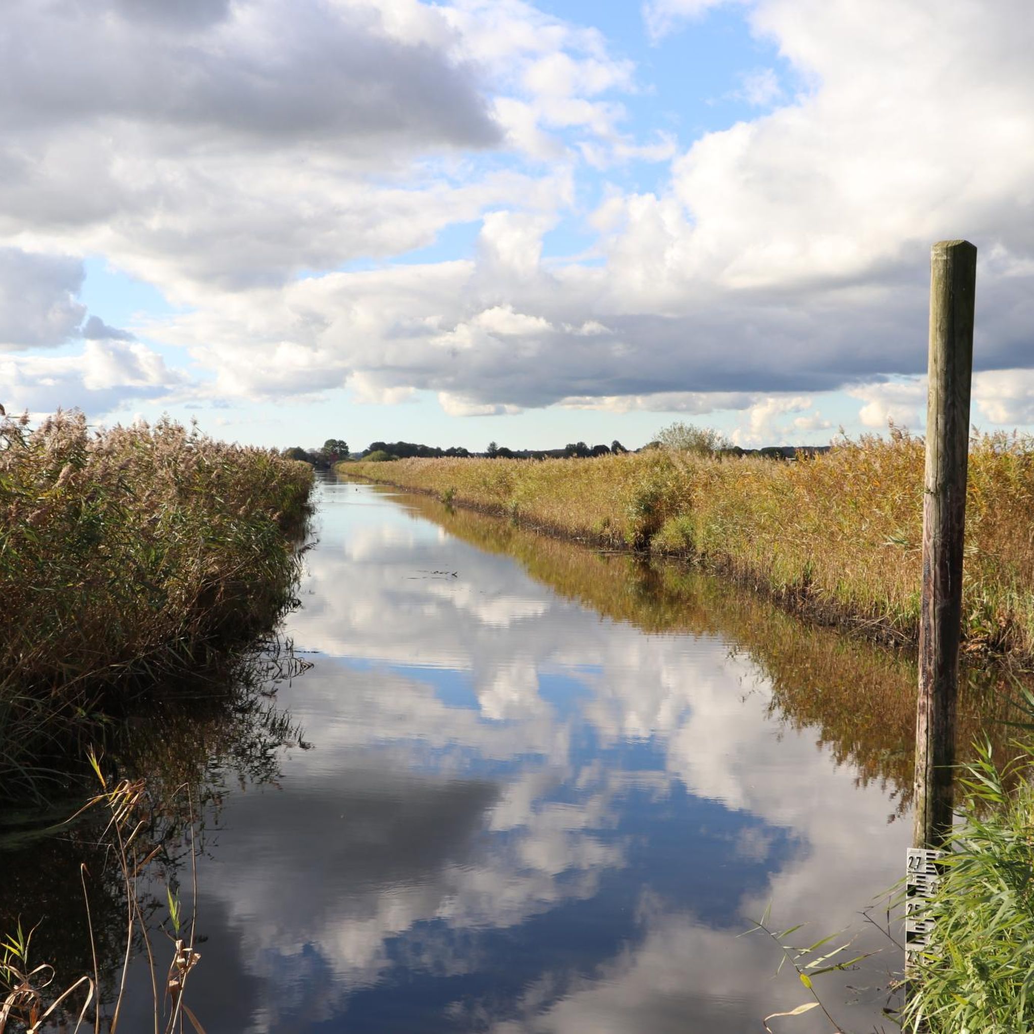
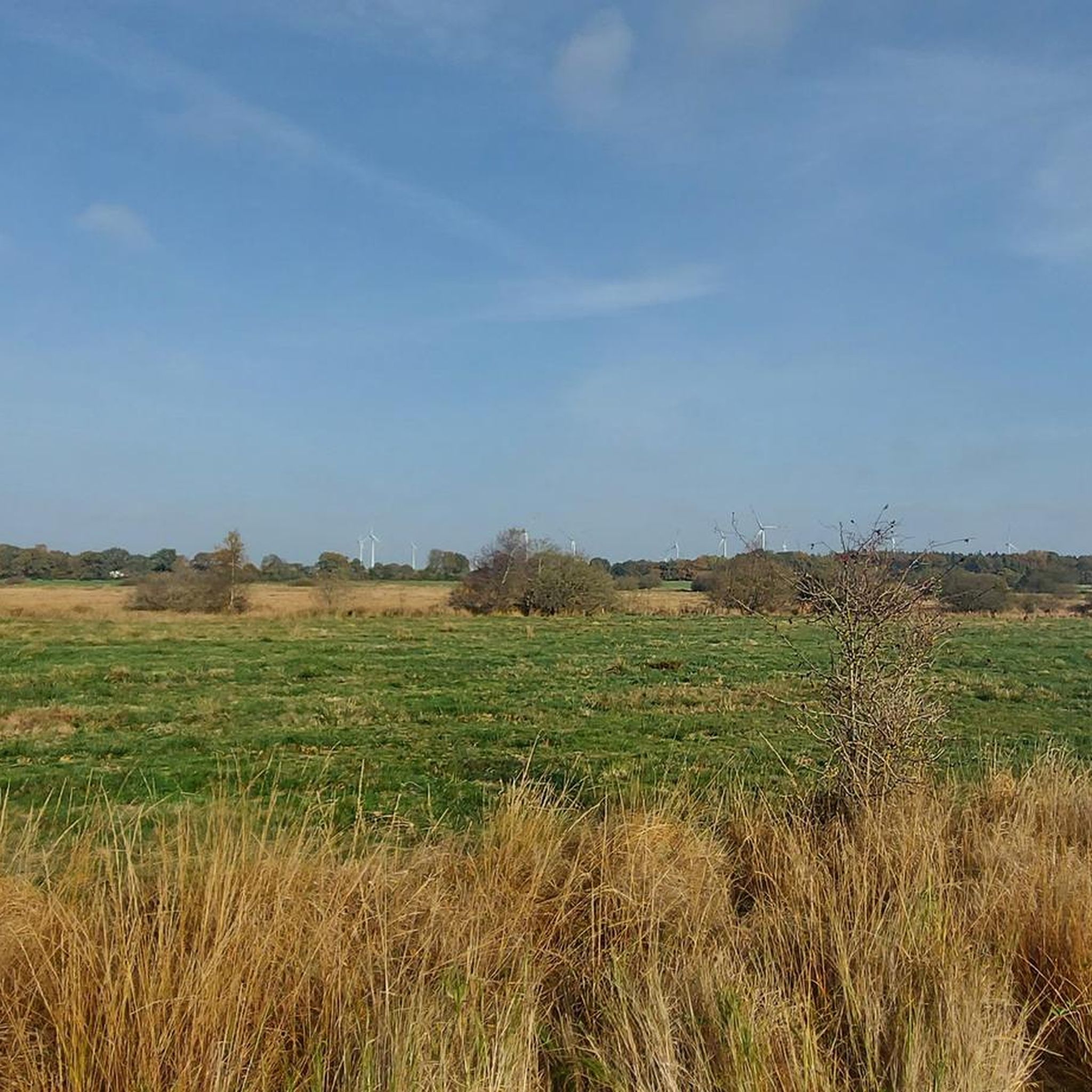
Tips from the Community


A forest man stands guard over this spot in the forest at the fork in the path. It's a perfect opportunity for a break.
1
0
The Sorge River marks the border between the districts of Rendsburg-Eckernförde and Schleswig-Flensburg. Although there's no sidewalk from the L 39 bridge, there's still a beautiful view of the river.
2
0
The balancing tree is unfortunately overgrown 😞, as of 08.2025
2
0
THE COLD HEART The well-known fairy tale "The Cold Heart" by Wilhelm Hauff deals with the difficult life of a charcoal burner. Peter, a charcoal burner in the depths of the Black Forest, is fed up with the poor and hard life of a charcoal burner and exchanges his heart with the evil Dutchman Michel for one made of stone, thereby becoming a wealthy man. But in doing so, he also becomes arrogant, stingy, and cruel, and incurs grave guilt. He is very unhappy, but with the help of the well-meaning glass man, he is able to win back his heart from Dutchman Michel, so that the eternal struggle between good and evil finally finds a happy ending.
2
0
The school forest was founded in 2004 by the then elementary school principal. With donations, he created an association that teaches students about the forest.
2
0

Signposts and the observation hut are located directly near the bench.
0
0

Always worth a hike
1
0
Frequently Asked Questions
How many hiking trails are available in Naturschutzgebiet Tetenhusener Moor?
There are over 190 hiking trails in Naturschutzgebiet Tetenhusener Moor, ranging from easy strolls to more moderate routes. This includes 124 easy trails and 61 moderate options, ensuring there's something for various fitness levels.
What is the typical terrain and elevation like for hiking in the moor?
The terrain in Naturschutzgebiet Tetenhusener Moor is generally flat with minimal elevation gain, making it accessible for most hikers. It primarily consists of paths through the distinctive Atlantic raised bog landscape, characterized by wet, nutrient-poor environments.
Are there any family-friendly hiking options in Naturschutzgebiet Tetenhusener Moor?
Yes, many trails are suitable for families due to their easy difficulty and flat terrain. An excellent option is the Countryside Pathway loop from Christiansholm, which is 3.1 miles (5.0 km) long and takes about 1 hour 17 minutes, offering pleasant views for all ages.
Can I bring my dog on the hiking trails?
While specific regulations for dogs can vary, generally, dogs are permitted on trails in nature reserves, often on a leash to protect wildlife. It's always advisable to check local signage upon arrival. The flat and well-maintained paths are usually suitable for dogs.
What kind of wildlife can I expect to see while hiking?
Naturschutzgebiet Tetenhusener Moor is a significant area for birdwatching, being part of an EU bird sanctuary. You might spot species like curlews, cranes, and black terns. The moor is also home to various dragonfly species and unique insectivorous plants like sundew, especially in former peat cuttings. Consider the View of Marsh Meadows and Cows – Birdwatching Hide at Hohner See loop from Christiansholm for dedicated observation spots.
Are there any circular walks available in the area?
Yes, many of the trails in Naturschutzgebiet Tetenhusener Moor are designed as circular routes. For example, the Hiking loop from Alte Sorge-Schleife is a 3.2 miles (5.2 km) circular trail that leads through the open moorland.
What is the best time of year to visit Naturschutzgebiet Tetenhusener Moor for hiking?
The moor offers unique beauty throughout the year. During summer, the heather blooms, transforming parts of the moor into a 'rose to lilac splendor,' which is a particularly beautiful time to visit. Spring and autumn also offer pleasant conditions for hiking and birdwatching.
Where can I park when visiting Naturschutzgebiet Tetenhusener Moor?
While specific parking areas are not detailed in the guide, common starting points for trails, such as Christiansholm or Tetenhusen, typically offer designated parking facilities for visitors. It's recommended to check local maps or komoot tour details for precise parking information near your chosen trailhead.
Are there any longer or more challenging hikes for experienced hikers?
While the majority of trails are easy to moderate, there are some longer options. The Rendsburg State Forest – Tetenhusen School Forest loop from Tetenhusen is a moderate 7.1 miles (11.4 km) route that provides a longer experience, though the elevation gain remains minimal.
What do other hikers say about the trails in Naturschutzgebiet Tetenhusener Moor?
The trails in Naturschutzgebiet Tetenhusener Moor are highly rated by the komoot community, with an average score of 4.6 stars from over 600 reviews. Hikers often praise the unique natural landscape, the quiet atmosphere, and the well-maintained paths suitable for various abilities.
Are there any specific natural features or plants to look out for?
Absolutely! The moor is known for its unique high moor vegetation, including various sphagnum mosses, cotton grass, cranberry, and bell heather. Keep an eye out for fascinating insectivorous plants like round-leaved and intermediate sundew, especially in former peat cuttings. The water-filled peat cuttings also provide habitats for diverse dragonfly species.
Is public transport available to reach Naturschutzgebiet Tetenhusener Moor?
Information on direct public transport links to the heart of the nature reserve is limited. However, the Eider-Treene-Sorge cycle path runs along the edge of the area, suggesting that nearby towns or villages might have public transport connections, from which you could access the moor by cycling or walking.
Are there any trails that offer viewpoints or opportunities for scenic photography?
While a former observation tower is no longer standing, the open moorland itself provides expansive views of the unique landscape. Trails like the Hohner Lake – Birdwatching Hide at Hohner See loop from Tetenhusen offer opportunities to observe the natural surroundings and capture the distinctive beauty of the raised bog and its wildlife.
Most popular routes in Naturschutzgebiet Tetenhusener Moor

Get inspired with the komoot mobile app


Explore more
Browse the best Hikes in other regions.
