The best running trails in Kaltenkirchener Heide
4.4
(542)
5,829
runners
548
runs
Jogging routes in Kaltenkirchener Heide traverse a diverse landscape, including a 510-hectare Fauna-Flora-Habitat area. The region features expansive open spaces from a former airfield, alongside a mix of heathland and wooded sections. A comprehensive network of predominantly consolidated paths makes it suitable for various running preferences and fitness levels.
Best jogging routes in Kaltenkirchener Heide
- The most popular jogging route is Former Kaltenkirchen Airfield loop from Moorkaten, a 3.1 miles (4.9 km) trail that takes 30 minutes to complete.…
Last updated: July 5, 2026
23
runners
Moderate run. Good fitness required. Mostly paved surfaces. Suitable for all skill levels.
11
runners
4.92km
00:30
10m
10m
Easy run. Great for any fitness level. Mostly paved surfaces. Suitable for all skill levels.

Sign up for free
7
runners
5.88km
00:36
10m
10m
Moderate run. Good fitness required. Mostly paved surfaces. Suitable for all skill levels.
6
runners
Moderate run. Good fitness required. Mostly paved surfaces. Suitable for all skill levels.
3
runners
10.1km
01:02
20m
20m
Moderate run. Good fitness required. Mostly paved surfaces. Suitable for all skill levels.
Get access to more routes and recommendations from other explorers.
Sign up for free
Already have an account?
Our route recommendations are based on thousands of hikes, rides, and runs completed by other people on komoot.
Start today with a free account
Your next adventure awaits.
Login or Signup

Tips from the Community

Kaltenkirchen Airfield was an airfield operated by the German Air Force in Kaltenkirchen in Schleswig-Holstein from December 1940 to May 1945. The construction and, above all, subsequent expansion measures were largely carried out with the help of forced labor. (Source: Wikipedia)
3
0

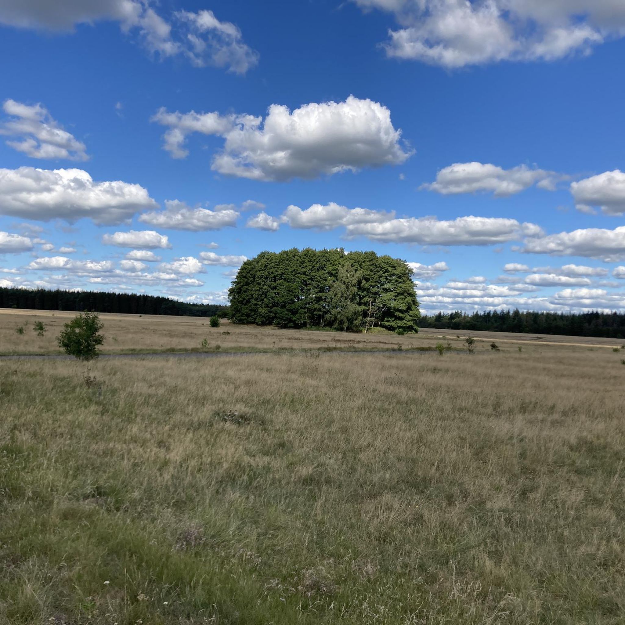
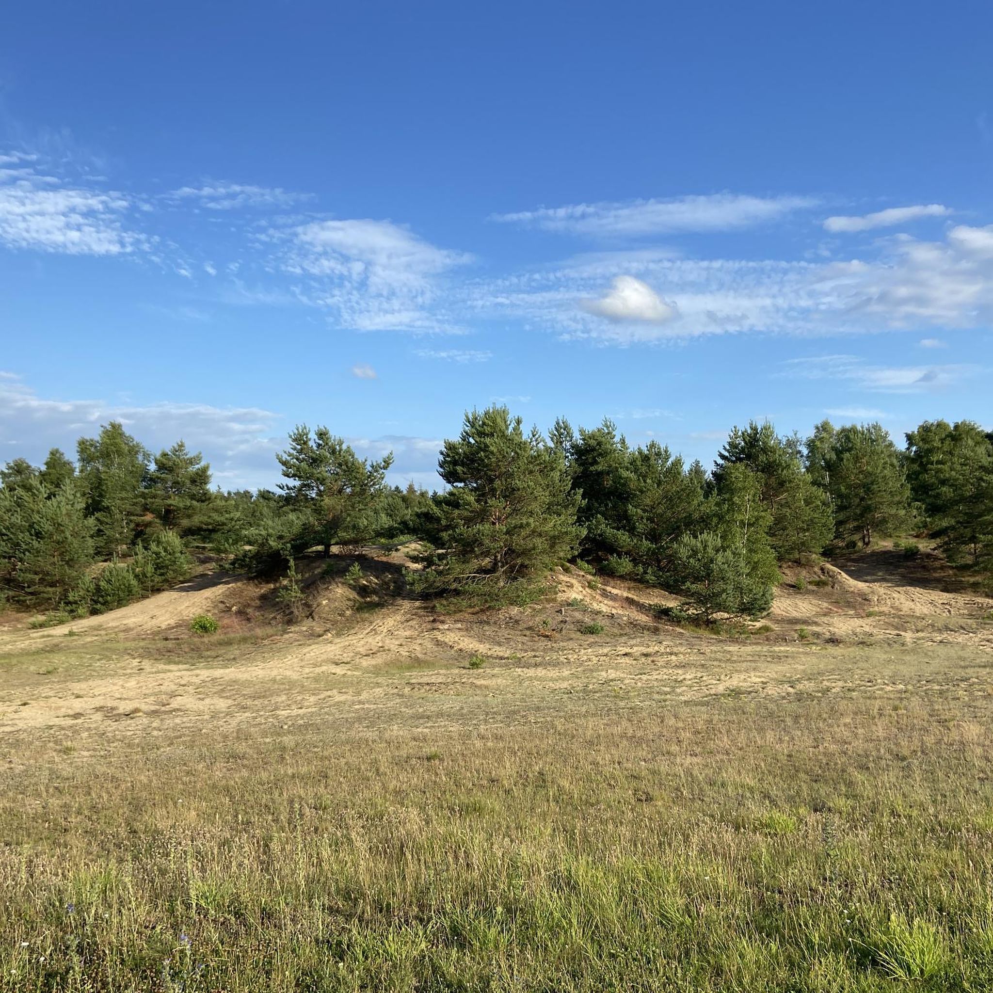
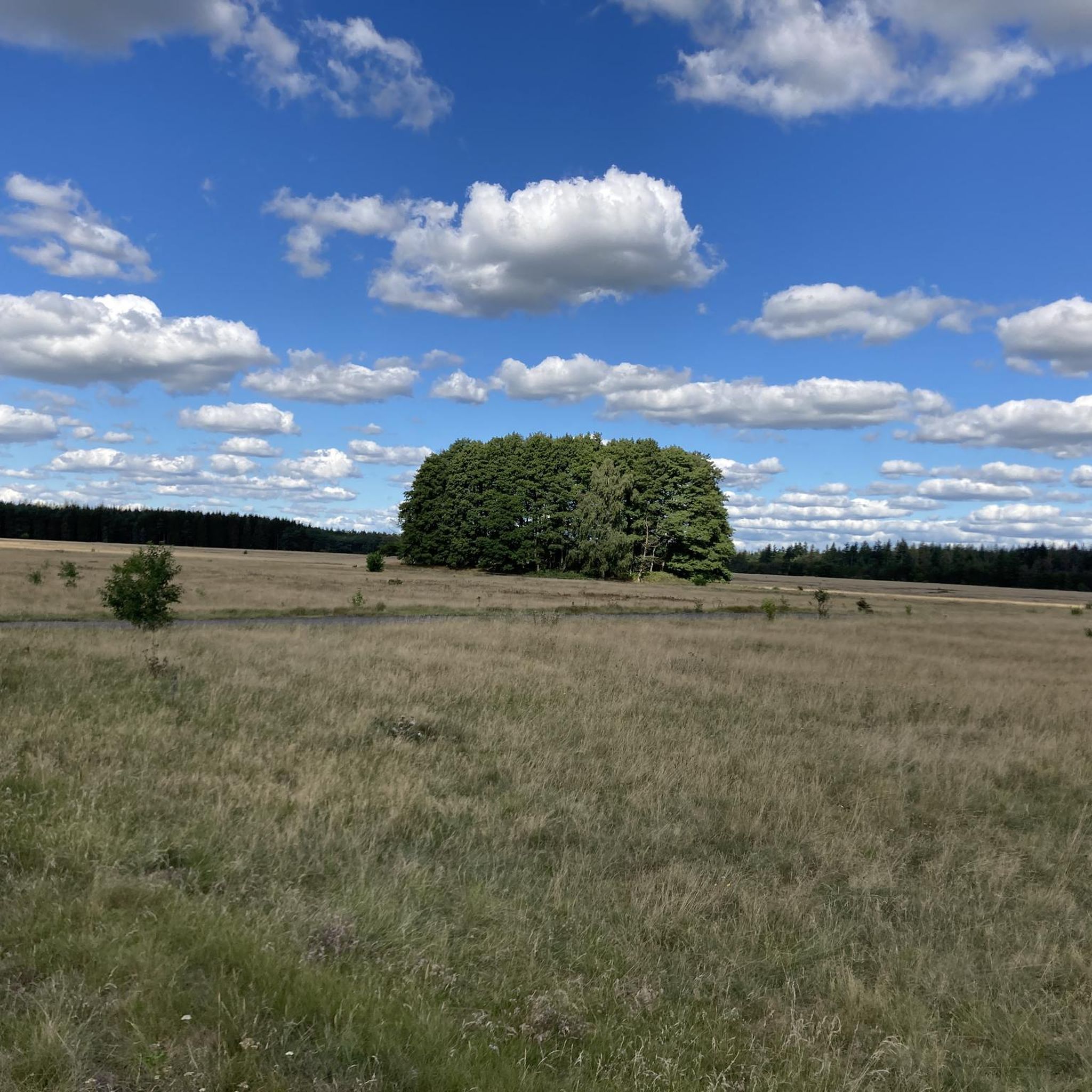
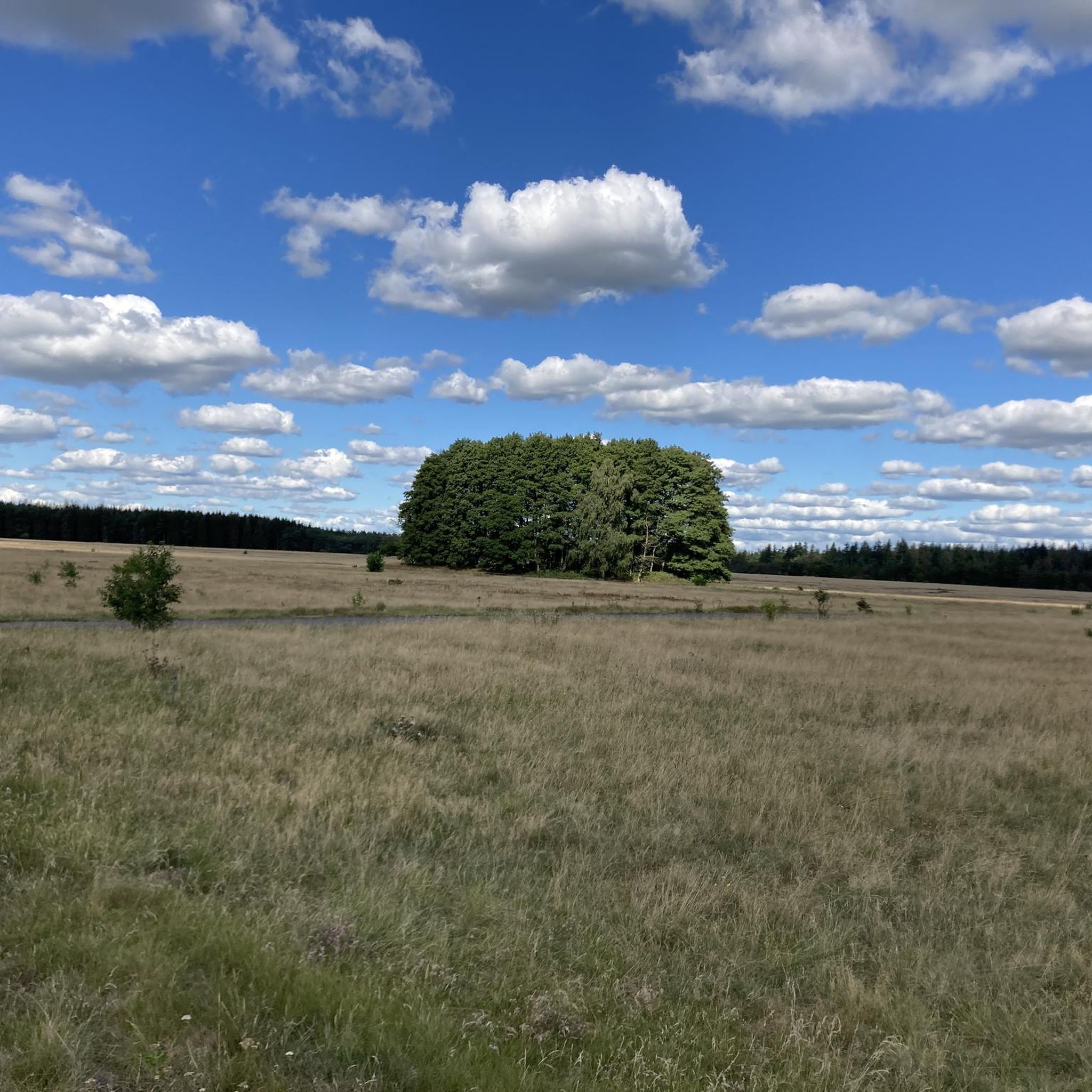
Great hiking area with wide views. Nice change between wide heather and forest.
2
0
Here you have a wonderful view over the vastness of the Kaltenkirchener Heide.
2
0
Frequently Asked Questions
How many running routes are available in Kaltenkirchener Heide?
Kaltenkirchener Heide offers a wide selection of running routes, with over 550 tours available on komoot. This includes 89 easy routes, 393 moderate routes, and 73 more challenging options, catering to all fitness levels.
What kind of terrain can I expect on the jogging paths in Kaltenkirchener Heide?
You'll find a diverse mix of terrain. The area features expansive open spaces from the former airfield, alongside a pleasant variety of heathland and wooded sections. Many routes boast predominantly consolidated paths, making them comfortable and safe for running. Information boards along the paths also highlight special habitats.
Are there any interesting sights or landmarks to see while running?
Yes, Kaltenkirchener Heide offers several points of interest. You can encounter historical sites like the Moorkaten War Graves Cemetery, the Memorial Site on the Kaltenkirchen Concentration Camp Trail, and the Former Kaltenkirchen Airfield. There's also the Kaltenkirchener Heide East Entrance, which serves as a natural monument.
Can I find routes suitable for beginners or families in Kaltenkirchener Heide?
Absolutely. Kaltenkirchener Heide has 89 easy routes, many of which are suitable for beginners or families looking for a relaxed run. The extensive network of paths and relatively flat terrain, especially in the former airfield areas, makes it very accessible. For example, the Former Kaltenkirchen Airfield loop from Moorkaten is an easy 4.9 km trail.
Are the running routes in Kaltenkirchener Heide dog-friendly?
While the guide doesn't specify explicit dog rules, as a Fauna-Flora-Habitat (FFH) area, it's generally recommended to keep dogs on a leash to protect the diverse flora and fauna. The extensive path network provides ample space for you and your dog to enjoy a run together, but always be mindful of local regulations and wildlife.
Are there many circular running routes in the area?
Yes, many of the running routes in Kaltenkirchener Heide are designed as circular loops, offering convenient starting and ending points. Popular examples include the Former Kaltenkirchen Airfield loop from Kaltenkirchener Heidkaten and the View of Kaltenkirchener Heide loop from Altspringhirsch.
What do other runners say about the trails in Kaltenkirchener Heide?
The running routes in Kaltenkirchener Heide are highly rated by the komoot community, with an average score of 4.4 stars from over 480 reviews. Runners often praise the wonderful views over the vastness of the former airfield, the nice change between wide heather and forest sections, and the well-maintained, easily accessible paths.
What is the typical length of a running route here?
The routes vary significantly in length. While there are shorter, easy routes like the 4.9 km Former Kaltenkirchen Airfield loop from Moorkaten, you can also find longer options. For instance, the Running loop from Alveslohe, Schäferei is over 10 km, and the View of Kaltenkirchener Heide loop from Langeln is also around 10 km, suitable for longer runs.
Is there parking available for visitors to Kaltenkirchener Heide?
Yes, parking is generally available at various access points to Kaltenkirchener Heide. Many routes, especially those starting from specific villages or entrances, will have designated parking areas nearby, making it convenient to begin your run.
What are the unique natural features of Kaltenkirchener Heide?
Kaltenkirchener Heide is distinguished by its status as an approximately 510-hectare Fauna-Flora-Habitat (FFH) area, ensuring a rich natural environment. It features a unique blend of expansive heathland, diverse wooded sections, and the wide, open spaces of a former airfield. This mix provides a dynamic and visually interesting environment for runners, with opportunities to observe diverse flora and fauna.
What's the best time of year to go jogging in Kaltenkirchener Heide?
Kaltenkirchener Heide is enjoyable for jogging year-round, but each season offers a different experience. Spring and autumn provide pleasant temperatures and beautiful colors, while summer allows for early morning or late evening runs to avoid the heat. The mix of heath and forest means you can find both open, sunny paths and shaded sections, offering variety regardless of the season.
Most popular routes in Kaltenkirchener Heide
Most popular attractions in Kaltenkirchener Heide

Get inspired with the komoot mobile app


Explore more
Browse the best Running Trails & Routes in other regions.
