Nationales Naturerbe Lübtheener Heide
Nationales Naturerbe Lübtheener Heide
Attractions and Places To See in Nationales Naturerbe Lübtheener Heide - Top 20
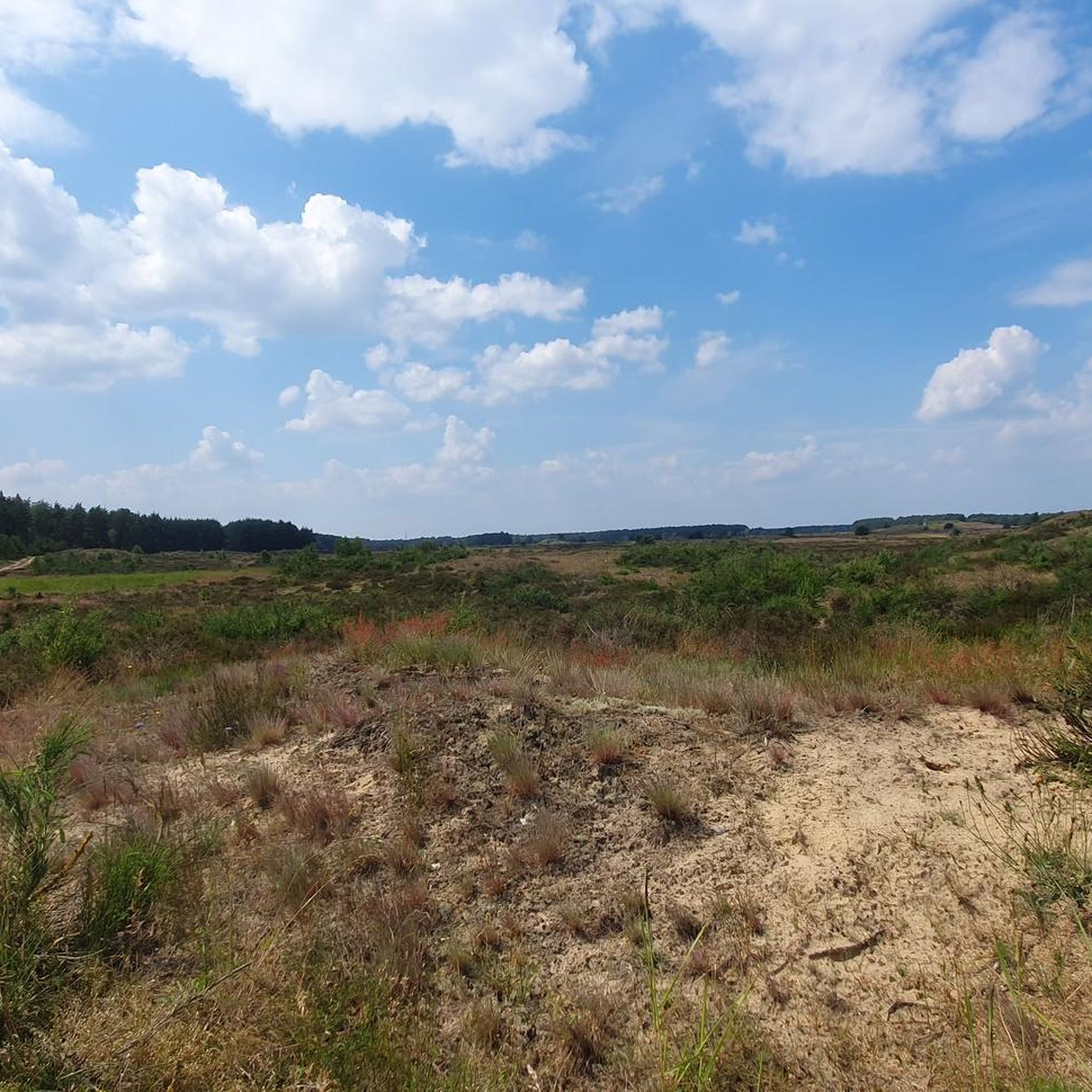
Best attractions and places to see in Nationales Naturerbe Lübtheener Heide include extensive sand and dry grasslands, making it the largest contiguous area of this type in Mecklenburg-Vorpommern. This natural heritage area, a former military training ground, features impressive inland dunes and vast heathlands. It is also part of the UNESCO Biosphere Reserve "River Landscape Elbe M-V" and offers diverse ecosystems with specialized flora and fauna. Visitors can explore designated paths to experience its unique landscape and historical context.
Best…
Last updated: July 5, 2026
Lübtheener Heide Entrance (Alt Jabel)
Highlight • Forest
-------------------------------------------------- -----------
Väle Johrn would have lasted, now one can wander up bicycle and tau faut up'n padd dör de LübtheenerHeide ströpern. …
Translated by Google •
Tip by

Quast Deserted Village Memorial in Lübtheener Heide
Highlight • Historical Site
Translated by Google •
Tip by
Sign up now to discover places like this
Get recommendations on the best single tracks, peaks, & plenty of other exciting outdoor places.
Sign up for free
Signpost to Teehaus and the viewpoint in the dunes – Lübtheener Heide
Highlight • Rest Area
-------------------------------------------------- ---
Väle Johrn would have lasted, now one can wander up bicycle and tau faut up'n padd dör …
Translated by Google •
Tip by
Directional signpost Lübtheener Heide (Lübbendorf, Probst Jesar)
Highlight • Rest Area
---------------------------
Väle Johrn would have lasted, now one can wander up bicycle and tau faut up'n padd dör de LübtheenerHeide ströpern. Dat Rebeit is välen …
Translated by Google •
Tip by
Lübtheener Heide Entrance at Probst Jesar
Highlight • Natural
-------------------------------------------------- -------------
Väle Johrn would have lasted, now one can wander up bicycle and tau faut up'n padd dör de LübtheenerHeide ströpern. Dat …
Translated by Google •
Tip by
Sign up for free to discover even more attractions in Nationales Naturerbe Lübtheener Heide.
Sign up for free
Already have an account?
Start today with a free account
Your next adventure awaits.
Login or Signup
Popular around Nationales Naturerbe Lübtheener Heide
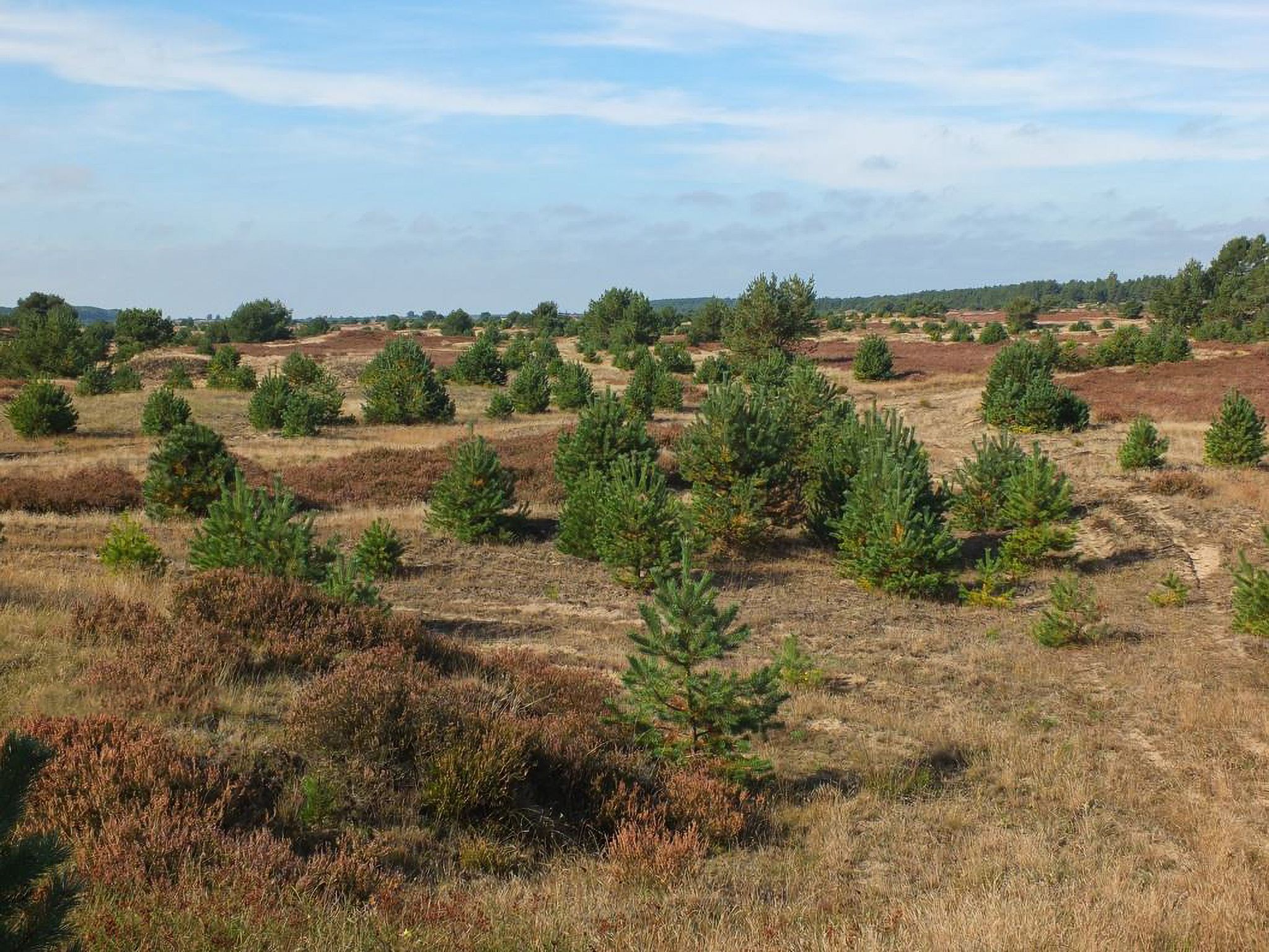
Experience Lübtheener Heide
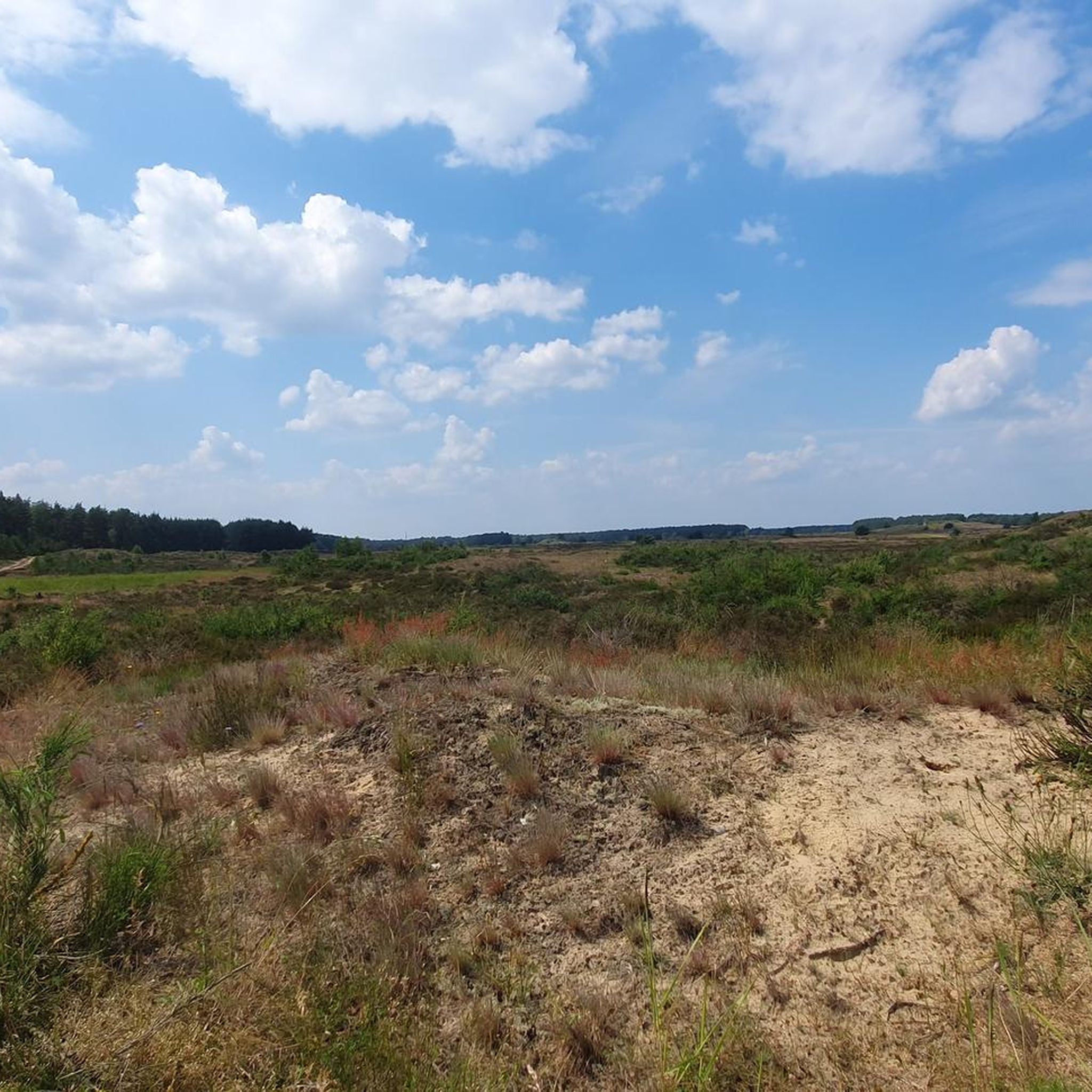
Hiking in Nationales Naturerbe Lübtheener Heide
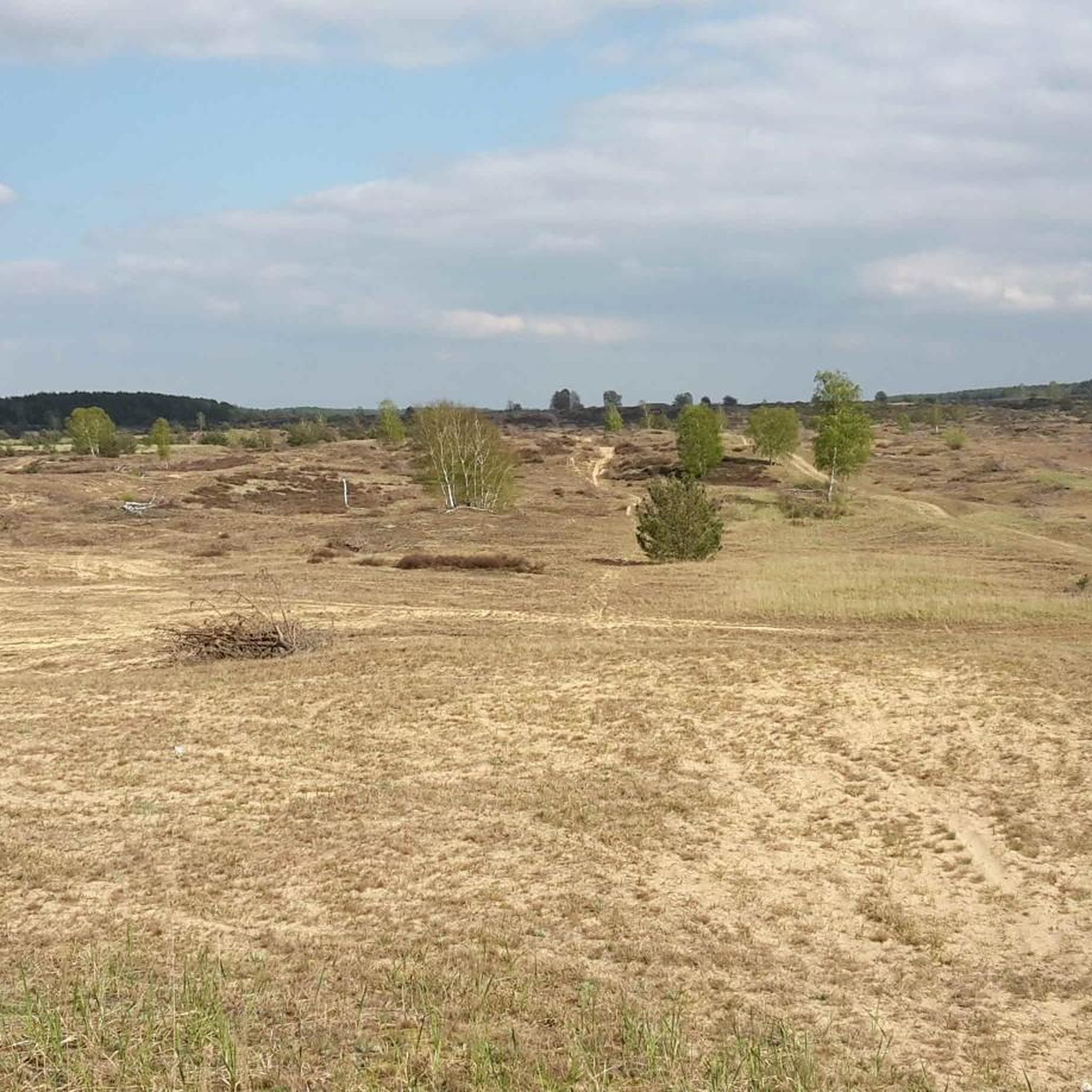
Cycling in Nationales Naturerbe Lübtheener Heide
MTB Trails in Nationales Naturerbe Lübtheener Heide
Road Cycling Routes in Nationales Naturerbe Lübtheener Heide
Running Trails in Nationales Naturerbe Lübtheener Heide

Gravel biking in Nationales Naturerbe Lübtheener Heide
Other adventures in Nationales Naturerbe Lübtheener Heide

Tips from the Community

Drive to the so-called teahouse and you will experience a lonely moonscape. Look for the monument to the gendarme Herman Spangenberg, murdered in 1918. Unfortunately, there are no map contents or signposts to it.
0
0

The signage is well done. So you can't miss a highlight
0
0
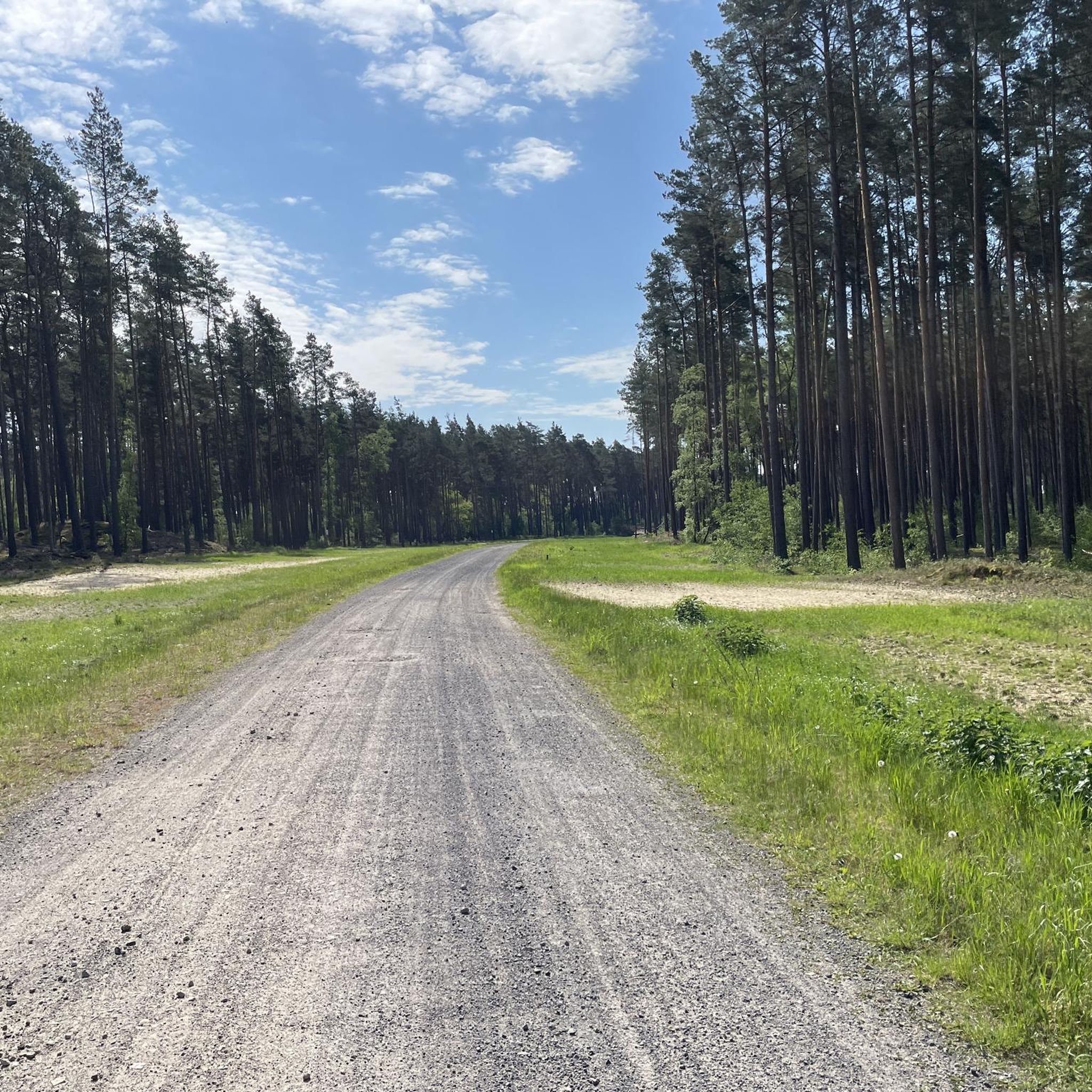
Beautiful forest path and good access to the Lübheener Heide.
2
0

In sight, to the west, you can see the only building, the "Samendarre". The only forestry facility in Mecklenburg for the storage and processing of pine seeds.
1
0
Directions to the tea house and the viewpoint in the dunes. -------------------------------------------------- --- Väle Johrn would have lasted, now one can wander up bicycle and tau faut up'n padd dör de LübtheenerHeide ströpern. Dat Rebeit is välen ok as Strepen, Streifen, Schießplatz, Truppenübungsplatz un JabelerHeide künnig. All the roads (gravel, fissures, sand, asphalt fragments) can be found in front of the villages and are now connected to the heathland. (Lübbendorf, Ramm, Belsch, Quast (Wüstung), Laupin, Loosen, Kavelmoor, HohenWoos, AltJabel, Vielank, Volzrade, Jessenitz, Trebs un ProbstJesar. Etc ...) In the year 2019 the big Waldbrand Lübtheen up grows on this flag, you can still see all the black trees for hours. To the south, the country consists here, as is mostly in the Griesen area, of well Dannbööm🌲, sand and heath🌾 - you can clearly not forget all the golden sand mountains (including black mountains) and inner dunes ... This gives in the heath banig well cross roads and twälen (fork) and there süll´n the Wieser (Hinweisschilder) help denn right padd tau find. If the meadows did not always show the right frog, you might be surprised. One who has been writing to Fritz Reuter for more than 150 years: … If ick came behind the Möhl, ick came in the heathen comfortless area! Sand and Dannenbusch and Heid´krut… so wied dat Oog reckt! Weg´gungen bi Weg´, yes, but wecker Weg what are you right? ” (F.Reuter to KalißerHeid, SüdWestMecklenb.)
0
0
Signpost Lübtheener Heide near Lübbendorf --------------------------- Väle Johrn would have lasted, now one can wander up bicycle and tau faut up'n padd dör de LübtheenerHeide ströpern. Dat Rebeit is välen ok as Strepen, Streifen, Schießplatz, Truppenübungsplatz un JabelerHeide künnig. All the roads (gravel, fissures, sand, asphalt fragments) can be found in front of the villages and are now connected to the heathland. (Lübbendorf, Ramm, Belsch, Quast (Wüstung), Laupin, Loosen, Kavelmoor, HohenWoos, AltJabel, Vielank, Volzrade, Jessenitz, Trebs un ProbstJesar. Etc ...) In the year 2019 the big Waldbrand Lübtheen up grows on this flag, you can still see all the black trees for hours. To the south, the country consists here, as is mostly in the Griesen area, of well Dannbööm🌲, sand and heath🌾 - you can clearly not forget all the golden sand mountains (including black mountains) and inner dunes ... This gives in the heath banig well cross roads and twälen (fork) and there süll´n the Wieser (Hinweisschilder) help denn right padd tau find. If the meadows did not always show the right frog, you might be surprised. One who has been writing to Fritz Reuter for more than 150 years: … If ick came behind the Möhl, ick came in the heathen comfortless area! Sand and Dannenbusch and Heid´krut… so wied dat Oog reckt! Weg´gungen bi Weg´, yes, but wecker Weg what are you right? ”
0
0
Lübtheener Heide- Jabeler Heide, entrance from Alt Jabel. -------------------------------------------------- ----------- Väle Johrn would have lasted, now one can wander up bicycle and tau faut up'n padd dör de LübtheenerHeide ströpern. Dat Rebeit is välen ok as Strepen, Streifen, Schießplatz, Truppenübungsplatz un JabelerHeide künnig. All the roads (gravel, fissures, sand, asphalt fragments) can be found in front of the villages and are now connected to the heathland. (Lübbendorf, Ramm, Belsch, Quast (Wüstung), Laupin, Loosen, Kavelmoor, HohenWoos, AltJabel, Vielank, Volzrade, Jessenitz, Trebs un ProbstJesar. Etc ...) In the year 2019 the big Waldbrand Lübtheen up grows on this flag, you can still see all the black trees for hours. To the south, the country consists here, as is mostly in the Griesen area, of well Dannbööm🌲, sand and heath🌾 - you can clearly not forget all the golden sand mountains (including black mountains) and inner dunes ... This gives in the heath banig well cross roads and twälen (fork) and there süll´n the Wieser (Hinweisschilder) help denn right padd tau find. If the meadows did not always show the right frog, you might be surprised. One who has been writing to Fritz Reuter for more than 150 years: … If ick came behind the Möhl, ick came in the heathen comfortless area! Sand and Dannenbusch and Heid´krut… so wied dat Oog reckt! Weg´gungen bi Weg´, yes, but wecker Weg what are you right? ” (F.Reuter to KalißerHeid, SüdWestMecklenb.)
3
0
Lübtheener Heide / Jabeler Heide, Einfahrt Probst-Jesar. -------------------------------------------------- ------------- Väle Johrn would have lasted, now one can wander up bicycle and tau faut up'n padd dör de LübtheenerHeide ströpern. Dat Rebeit is välen ok as Strepen, Streifen, Schießplatz, Truppenübungsplatz un JabelerHeide künnig. All the roads (gravel, fissures, sand, asphalt fragments) can be found in front of the villages and are now connected to the heathland. (Lübbendorf, Ramm, Belsch, Quast (Wüstung), Laupin, Loosen, Kavelmoor, HohenWoos, AltJabel, Vielank, Volzrade, Jessenitz, Trebs un ProbstJesar. Etc ...) In the year 2019 the big Waldbrand Lübtheen up grows on this flag, you can still see all the black trees for hours. To the south, the country consists here, as is mostly in the Griesen area, of well Dannbööm🌲, sand and heath🌾 - you can clearly not forget all the golden sand mountains (including black mountains) and inner dunes ... This gives in the heath banig well cross roads and twälen (fork) and there süll´n the Wieser (Hinweisschilder) help denn right padd tau find. If the meadows did not always show the right frog, you might be surprised. One who has been writing to Fritz Reuter for more than 150 years: … If ick came behind the Möhl, ick came in the heathen comfortless area! Sand and Dannenbusch and Heid´krut… so wied dat Oog reckt! Weg´gungen bi Weg´, yes, but wecker Weg what are you right? ” (F.Reuter to KalißerHeid, SüdWestMecklenb.)
3
0
Frequently Asked Questions
What unique natural features can I explore in Nationales Naturerbe Lübtheener Heide?
The area is renowned for its extensive sand and dry grasslands, featuring the largest contiguous inland dunes in Mecklenburg-Vorpommern. You can witness impressive shifting dunes and vast heathlands, especially beautiful when the heather is in bloom during late summer. The landscape also includes diverse ecosystems with specialized flora and fauna, bordered by large pine forests.
Are there designated hiking trails in Nationales Naturerbe Lübtheener Heide?
Yes, since April 1, 2021, several designated paths are open for pedestrians and cyclists. These are clearly marked with red-capped posts and signposts. Popular options include the Quaster Rundweg (approx. 6.5 km), the Dünenweg (approx. 7.5 km round trip) leading to a viewpoint, and the Heideweg (approx. 8 km circular path) traversing open heathlands. You can find more hiking options in the Hiking Guide for Nationales Naturerbe Lübtheener Heide.
What historical sites can I visit in the region?
The most significant historical site is the former village of Quast. Once located in the center of the area, it was evacuated in 1961. Today, a memorial stone and an information board commemorate its history and the landscape's distinctiveness. You can visit the Quast Deserted Village Memorial in Lübtheener Heide to learn more.
What kind of wildlife can I expect to see in Nationales Naturerbe Lübtheener Heide?
The diverse ecosystems support a high species diversity. Keep an eye out for specialized animals and plants such as sand lizards and tawny pipits. The area is also home to the most significant population of Boreal Owls in the state, with 70 breeding bird species recorded. The remnants of military use, like bunkers and earth mounds, also provide unique habitats for many animals.
What safety precautions should I take when visiting Nationales Naturerbe Lübtheener Heide?
Due to its past as a military training ground, large parts of the area may contain unexploded ordnance. Therefore, it is strictly prohibited to leave the marked and designated paths. Information boards are placed at access points to guide visitors. Additionally, the risk of wildfires is high, so open fires and cigarettes are strictly forbidden.
Are there good cycling routes in Nationales Naturerbe Lübtheener Heide?
Yes, the designated paths are also open for cyclists, offering opportunities to explore the unique landscape. You can find various cycling routes, including options for touring bikes and road bikes, in the Cycling Guide and Road Cycling Guide for Nationales Naturerbe Lübtheener Heide.
Are the trails in Nationales Naturerbe Lübtheener Heide suitable for families with children?
Many of the designated paths are suitable for families, offering relatively easy terrain to explore the natural beauty. The Arthur von Treuenfels Memorial Stone is noted as family-friendly, providing a nice rest spot with a story. Always ensure children stay on the marked paths for safety.
Where can I find viewpoints to enjoy the landscape?
Along the designated trails, you'll find several viewpoints and rest areas with covered seating. The Signpost to Teehaus and the viewpoint in the dunes offers directions to a spot with impressive views of the inland dune and surrounding heath landscape. The Arthur von Treuenfels Memorial Stone also offers beautiful views of the heathland, especially when the heather is in bloom.
What is the best time of year to visit Nationales Naturerbe Lübtheener Heide?
Late summer is particularly recommended for visiting, as this is when the heather is in full bloom, creating a stunning purple landscape across the heathlands. However, the area offers unique natural beauty throughout the year, with each season providing a different experience of the dunes, forests, and open spaces.
Can I bring my dog on the trails?
While the region is a natural heritage area, it's generally possible to bring dogs on the designated paths. However, due to the sensitive ecosystems and the presence of wildlife, it is crucial to keep dogs on a leash at all times and ensure they do not stray from the marked trails, especially given the safety concerns regarding unexploded ordnance.
Where are the main access points or entrances to Nationales Naturerbe Lübtheener Heide?
Key access points include Lübtheener Heide Entrance (Alt Jabel) and Lübtheener Heide Entrance at Probst Jesar. These entrances provide good starting points for exploring the area's unique landscape of sand, pine forests, and heath. Information boards are typically located at these access points.
What makes the Lübtheener Heide a 'Nationales Naturerbe' (National Natural Heritage) area?
The area is designated as National Natural Heritage due to its unique landscape, including the largest contiguous inland dunes in Mecklenburg-Vorpommern, and its high biodiversity. It's also part of the UNESCO Biosphere Reserve "River Landscape Elbe M-V," recognizing its ecological significance and the need for its protection and sustainable development.
Most popular routes in Nationales Naturerbe Lübtheener Heide
Most popular attractions in Nationales Naturerbe Lübtheener Heide

Get inspired with the komoot mobile app


Explore more
Still not found the Highlight you’re looking for? See guides of the top attractions in other regions:
