The best cycling routes in Glüsinger Bruch und Osterbruch
4.5
(3308)
15,173
riders
921
rides
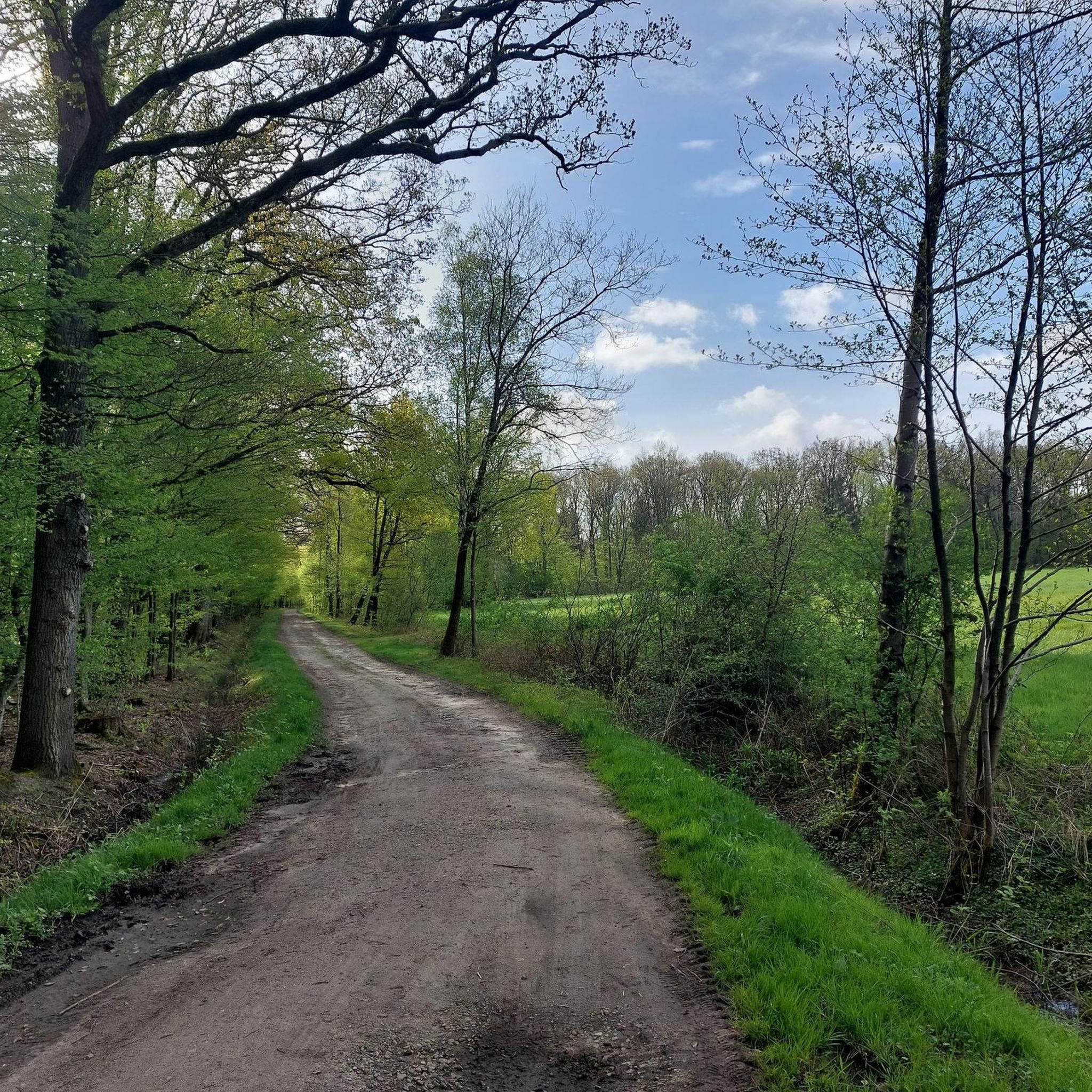
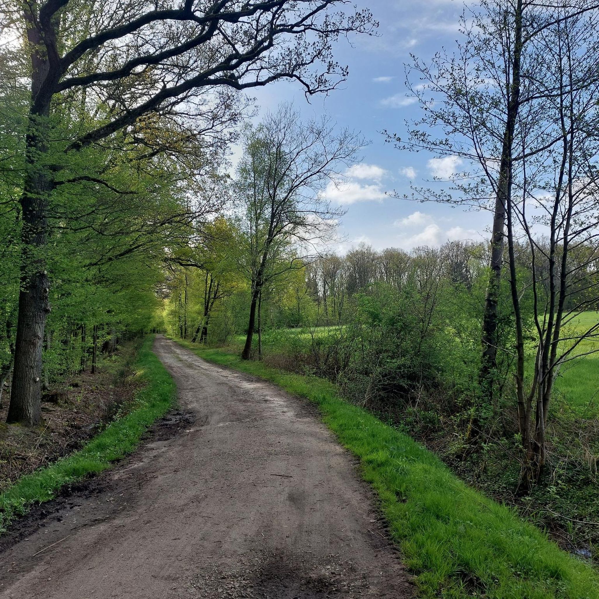
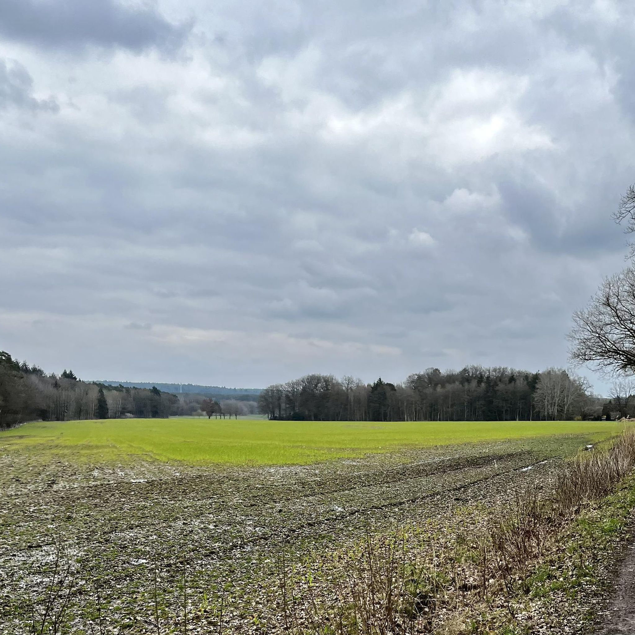
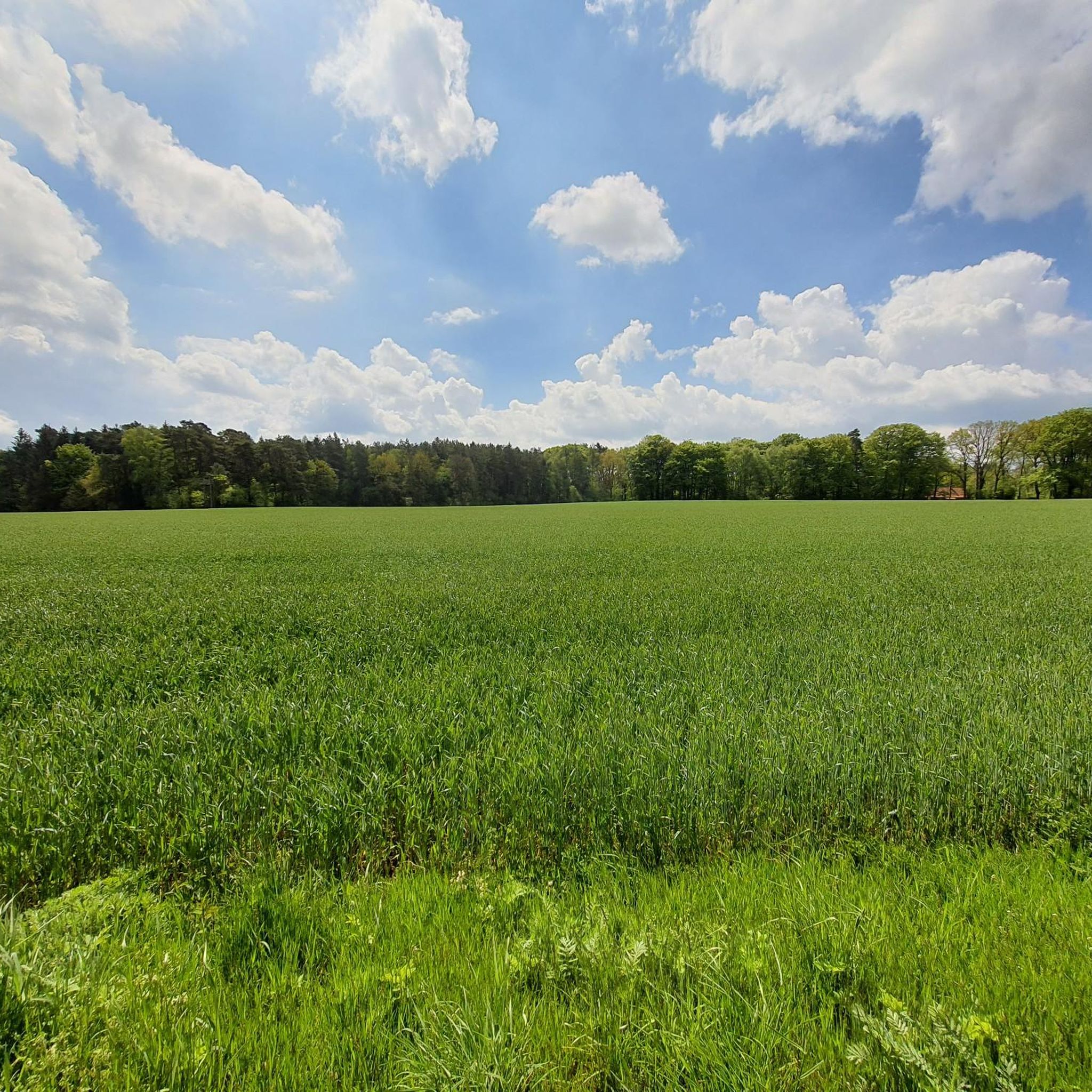
Touring cycling in Glüsinger Bruch und Osterbruch offers routes through a diverse natural landscape characterized by a mosaic of forests and open land. The region is situated within a valley lowland adjacent to the Esteaue, featuring extensive wet, mesophilic forests of oak-hornbeam and alder-ash trees. With an elevation ranging from approximately 40 to 72 meters, the terrain is generally flat to gently rolling, making it suitable for various cycling abilities. The Langeloher Bach also contributes to the natural water features…
Last updated: June 26, 2026
4.5
(31)
112
riders
34.2km
02:09
140m
140m
Moderate bike ride. Good fitness required. Mostly paved surfaces. Suitable for all skill levels.
4.8
(45)
129
riders
Moderate bike ride. Good fitness required. Mostly paved surfaces. Suitable for all skill levels.

Sign up for free
4.7
(13)
89
riders
23.1km
01:28
100m
100m
Easy bike ride. Great for any fitness level. Mostly paved surfaces. Suitable for all skill levels.
4.7
(11)
71
riders
Hard bike ride. Great for any fitness level. You may need to push your bike for some segments of this route.
4.6
(24)
77
riders
44.0km
02:40
90m
90m
Moderate bike ride. Good fitness required. Mostly paved surfaces. Suitable for all skill levels.
Get access to more routes and recommendations from other explorers.
Sign up for free
Already have an account?
Our route recommendations are based on thousands of hikes, rides, and runs completed by other people on komoot.
Start today with a free account
Your next adventure awaits.
Login or Signup
Tips from the Community

Beautiful boutique with a good selection of second-hand items and designer articles.
0
0

A very beautiful landscape
2
0
A very beautiful landscape
1
0


The former railway embankment of the railway line between Buchholz and Bremervörde is easy to ride and offers a shady route in summer.
1
0
The bridge looks a bit daunting, but it's absolutely solid. You can easily walk over the two missing beams and even push your bike across. Don't forget the beautiful view of the Este River.
1
0
The bridge over the Este River here is currently stable, so you can cross it without any problems. Cyclists should, of course, dismount and push their bikes across, but that's not a problem.
1
0
The bridge is stable, and you can cross it without any problems. Cyclists should, of course, dismount and push their bikes across, but that's not a problem.
1
0
Frequently Asked Questions
What is the typical terrain like for touring cycling in Glüsinger Bruch und Osterbruch?
The terrain in Glüsinger Bruch und Osterbruch is generally flat to gently rolling, with elevations ranging from approximately 40 to 72 meters. This makes it well-suited for touring cyclists. You'll find a mosaic of forests and open land, including extensive wet, mesophilic forests and well-developed wet meadows. Some sections of the paths are asphalted, providing smooth surfaces.
What are the difficulty levels of the touring cycling routes in this region?
Glüsinger Bruch und Osterbruch offers a range of routes suitable for various abilities. The majority of the routes are classified as easy or moderate, with 547 easy and 165 moderate tours available. There are also 181 more challenging routes for experienced cyclists. For an easy option, consider the Riepshof Sheep Barn – Upper Wümme Floodplain loop from Tostedt.
Are there any notable natural features or attractions to see along the cycling routes?
The primary attractions are the diverse natural landscapes themselves, including the extensive wet forests of oak-hornbeam and alder-ash trees, and the wet meadows. The Langeloher Bach flows through the Osterbruch, adding to the natural water features. While primarily a nature reserve, the Kampener Mühle (Kampen Mill) is a notable cultural attraction nearby that can be visited as part of a longer tour.
Where can I park my car when visiting Glüsinger Bruch und Osterbruch for cycling?
While specific parking areas within the nature reserve are limited, you can often find suitable parking in nearby towns like Tostedt, which serves as a common starting point for many tours. From there, you can easily access the cycling network.
Is public transport available to reach the cycling routes?
Access to Glüsinger Bruch und Osterbruch via public transport is possible, particularly to surrounding towns like Tostedt, which has train connections. From these points, you can cycle directly into the region. It's advisable to check local bus and train schedules for the most convenient access points.
What is the best time of year for touring cycling in Glüsinger Bruch und Osterbruch?
The region is enjoyable for touring cycling throughout much of the year. Spring and autumn offer pleasant temperatures and beautiful scenery, with spring bringing lush greenery and autumn showcasing vibrant foliage. Summer is also suitable, though some paths might be busier. Given the 'Bruchwald' (swampy woodland) nature, be prepared for potentially damp conditions, especially after rain.
Are there any family-friendly cycling routes in the area?
Yes, the generally flat to gently rolling terrain makes many routes suitable for families. The abundance of easy and moderate tours means you can find paths that are comfortable for cyclists of all ages. The scenic routes through forests and open landscapes provide a pleasant environment for a family outing. An easy option is the Riepshof Sheep Barn – Upper Wümme Floodplain loop from Tostedt.
Are dogs allowed on the cycling routes in Glüsinger Bruch und Osterbruch?
As a nature reserve, specific rules for dogs may apply. Generally, dogs are welcome on trails but should be kept on a leash to protect wildlife and other visitors. Always observe local signage regarding dog regulations, especially within sensitive ecological areas.
Are there places to eat or drink along the cycling routes?
While the nature reserve itself is primarily natural, you'll find cafes and restaurants in the surrounding villages and towns, such as Tostedt. These make for good starting or ending points for your tour, or a convenient stop for refreshments. It's a good idea to plan your route to include these stops if you wish to dine out.
What do other touring cyclists enjoy most about cycling in Glüsinger Bruch und Osterbruch?
The area is highly rated by the komoot community, with an average score of 4.5 stars from over 3,000 reviews. Reviewers often praise the quiet, diverse natural landscapes, the well-maintained paths, and the opportunity to cycle through extensive wet forests and open meadows. The generally flat terrain is also frequently highlighted as a positive aspect for enjoyable touring.
Are there any circular cycling routes available?
Yes, many of the touring cycling routes in Glüsinger Bruch und Osterbruch are designed as loops, allowing you to start and end at the same point. For example, the popular 900 Years Todtshorn Memorial – Shelter by the Cycle Path loop from Tostedt is a circular route, as is the Tree-Lined Road – Heidenau Wedding Forest loop from Tostedt.
What kind of wildlife can I expect to see while cycling?
Given the diverse natural habitats, including wet forests and meadows, you might encounter various bird species, small mammals, and insects. The area is part of a Flora-Fauna-Habitat (FFH) area, indicating its ecological significance. Keep an eye out for species adapted to wet woodland environments.
Are there any specific regulations for cycling within the nature reserve?
As Glüsinger Bruch und Osterbruch is a nature reserve, it's important to stay on designated paths to protect the sensitive ecosystems. Cycling off-path is generally prohibited. Always respect local signage regarding conservation efforts and wildlife protection. No special permits are typically required for cycling on public paths.
Most popular routes in Glüsinger Bruch und Osterbruch

Get inspired with the komoot mobile app


Explore more
Browse the best Cycling routes in other regions.
