The best mountain hikes in Harslebener Berge Und Steinholz
5.0
(23)
96
hikers
4
hikes
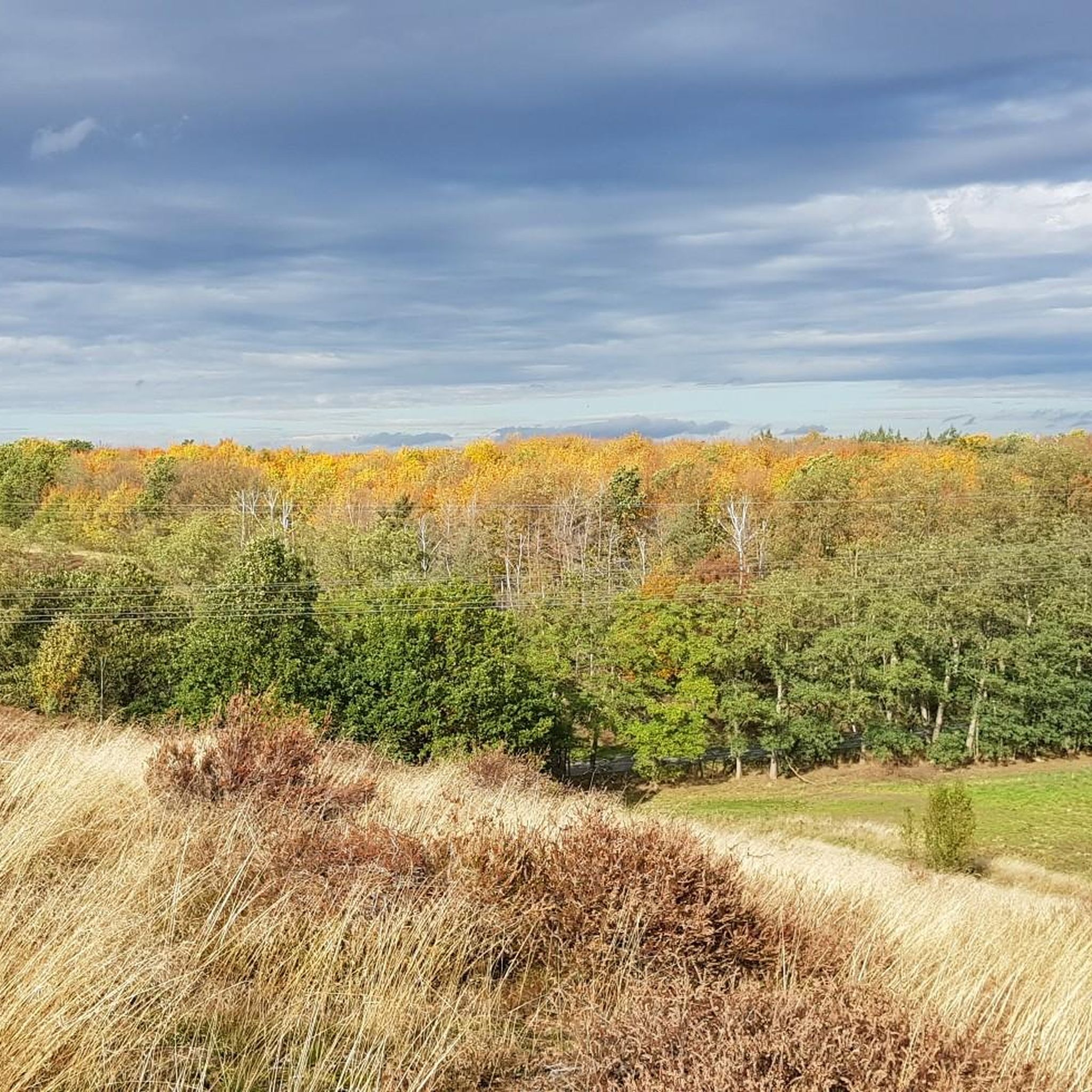
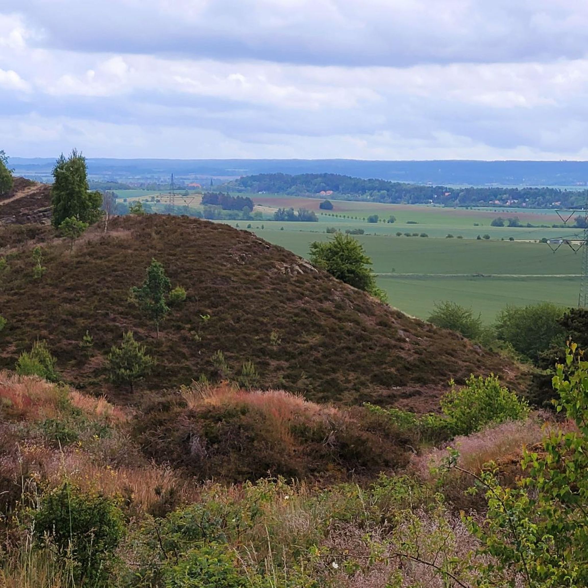
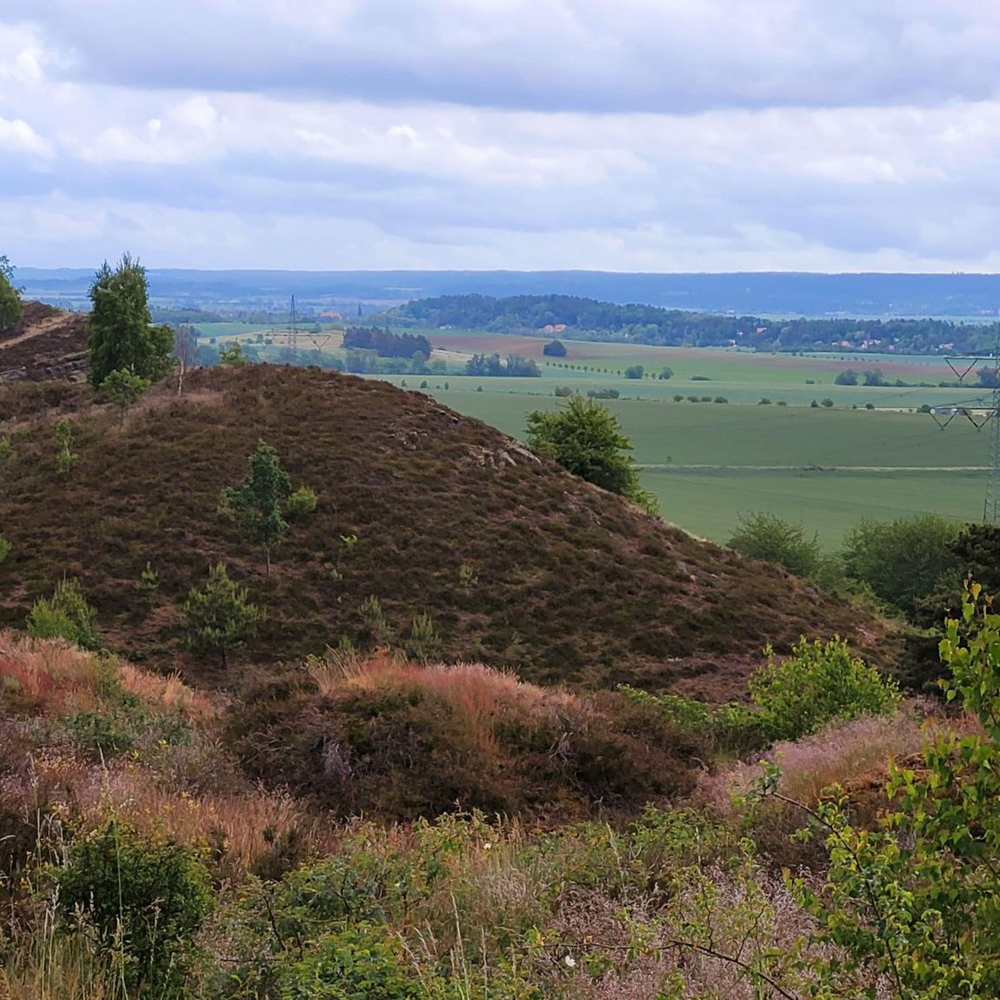
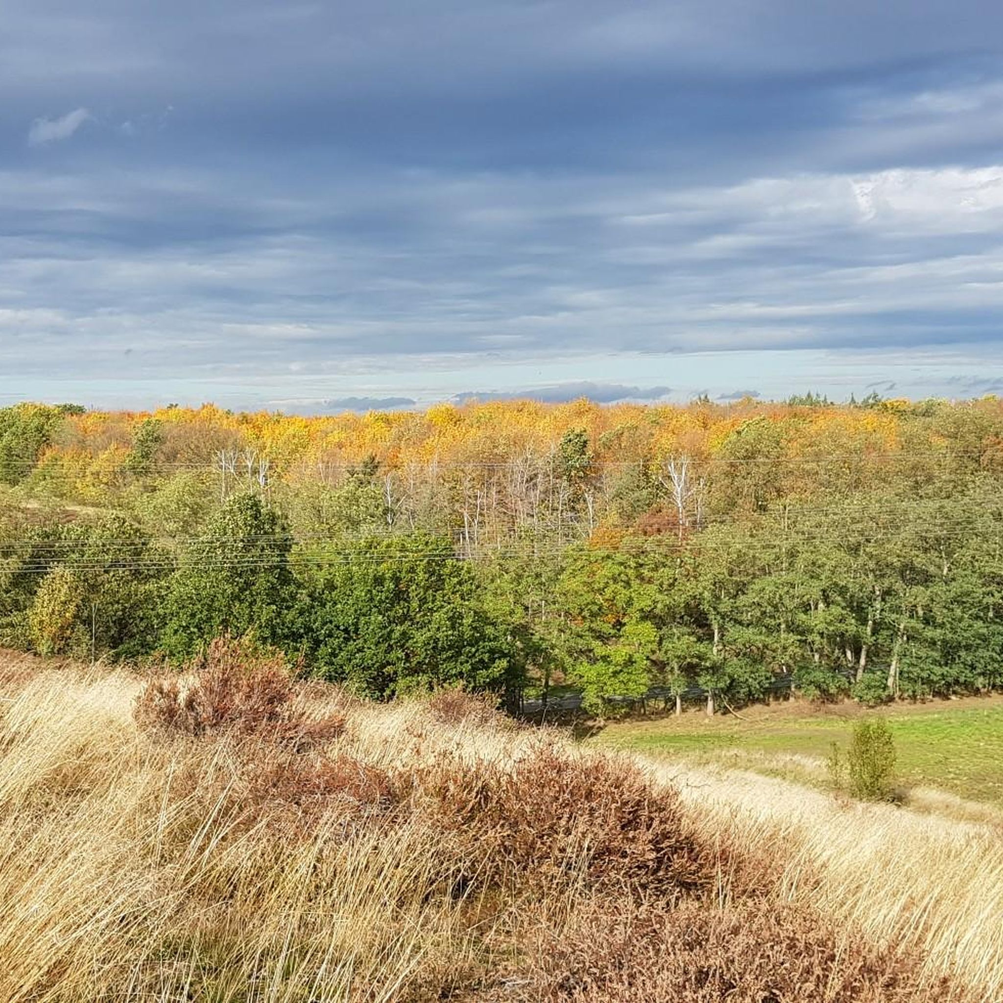
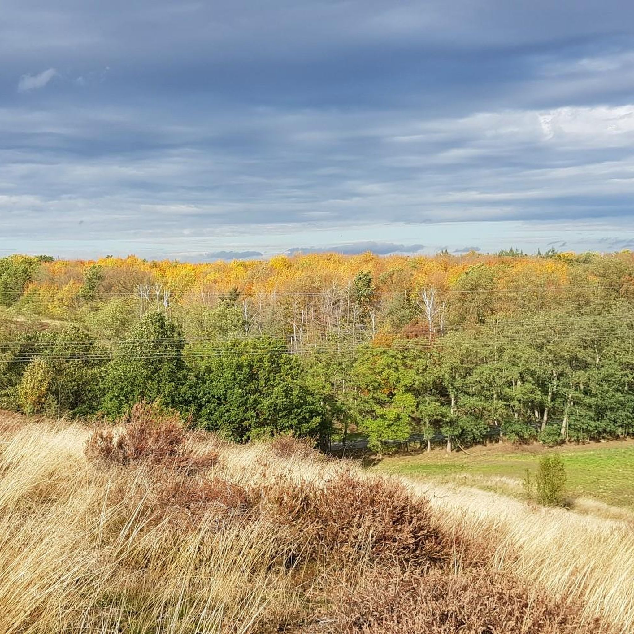
Mountaineering routes in Harslebener Berge Und Steinholz traverse a distinctive ridge landscape within the Harz foreland. The region is characterized by dry forests, grasslands, and unique geological formations of Upper Cretaceous sandstones. These features create varied topography, including steep southern slopes and northern slopes partially covered by loess, offering challenging ascents and panoramic views.
Best mountaineering routes in Harslebener Berge Und Steinholz
- The most popular mountaineering route is Devil's Wall Trail – Bode River view loop from Teufelsmauer und Bode…
Last updated: July 4, 2026
Easy mountaineering route. Great for any fitness level. Easily-accessible paths. Suitable for all skill levels.
5.0
(9)
36
hikers
7.81km
02:15
110m
110m
Hard mountaineering route. Good fitness required. Sure-footedness, sturdy shoes and alpine experience required.

Sign up for free
5.0
(1)
1
hikers
10.3km
02:59
200m
200m
Hard mountaineering route. Good fitness required. Sure-footedness, sturdy shoes and alpine experience required.
5.0
(2)
7
hikers
5.68km
01:47
150m
150m
Hard mountaineering route. Great for any fitness level. Sure-footedness, sturdy shoes and alpine experience required.
5.0
(11)
49
hikers
7.26km
02:16
150m
150m
Hard mountaineering route. Good fitness required. Sure-footedness, sturdy shoes and alpine experience required.
Our route recommendations are based on thousands of hikes, rides, and runs completed by other people on komoot.
Start today with a free account
Your next adventure awaits.
Login or Signup
Popular around Harslebener Berge Und Steinholz
Tips from the Community

The castle is situated opposite on a mountain and is a real eye-catcher.
1
0

You can climb up the steps at the back.
3
0

A nice starting point for Blankenburg, this approximately 4 km trail runs along the Devil's Wall. The trail occasionally crosses rocks, so sturdy footwear is recommended.
0
0
Just a few minutes from Timmenrode. Very easy to reach for all ages. Very beautiful view where you can linger.
0
0
Great trail, short distance but a bit challenging in some places
0
0
Also serves as a shelter in the rain, in a short distance there is also a rest area that can be used as a shelter
0
0
Very nice trail to the Hamburg coat of arms
0
0
A beautiful section along the Devil's Wall. Great views and pure nature. Sturdy footwear is required; some sections are very rocky.
0
0
Frequently Asked Questions
How many mountaineering routes are available in Harslebener Berge Und Steinholz, and what are their difficulty levels?
There are 4 mountaineering routes in Harslebener Berge Und Steinholz. These include 1 easy route and 3 difficult routes, offering options for various experience levels.
When is the best time of year to go mountaineering in Harslebener Berge Und Steinholz?
The region is particularly beautiful from July to September when the heather blooms, offering expansive panoramic views. However, the diverse landscape of dry woodlands and grasslands makes it enjoyable throughout much of the year, with spring and autumn also providing pleasant conditions.
What are some notable viewpoints or landmarks I can expect to see along the mountaineering routes?
You can discover several interesting points. The Great Thekenberg offers expansive panoramic views. You might also encounter the historic Steinholz Watchtower, a medieval structure. The region's unique geological formations, like the Fuchsklippen, also provide scenic vistas.
Are there any circular mountaineering routes in Harslebener Berge Und Steinholz?
Yes, all the mountaineering routes listed are circular. For example, you can explore the Devil's Wall Trail – Bode River view loop from Teufelsmauer und Bode nordöstlich Thale, which offers views of the Bode River.
Are there any easy mountaineering routes suitable for beginners in Harslebener Berge Und Steinholz?
Yes, there is one easy mountaineering route. The Devil's Wall Trail – Bode River view loop from Teufelsmauer und Bode nordöstlich Thale is a 4.2-mile (6.7 km) trail that takes approximately 1 hour 47 minutes to complete, making it a good option for those new to mountaineering in the area.
For experienced mountaineers, what are some challenging routes in Harslebener Berge Und Steinholz?
Experienced mountaineers can tackle routes like the Rittertreppe From Below – Großvaterfelsen loop from Timmenrode. This difficult 6.7-mile (10.7 km) path features significant elevation gain and leads through varied terrain.
What do other mountaineers enjoy most about the routes in Harslebener Berge Und Steinholz?
The routes in Harslebener Berge Und Steinholz are highly rated by the komoot community, with an average score of 5.0 stars. Mountaineers often praise the varied terrain, the unique ridge landscape, and the panoramic views, especially from prominent features like the Großer Thekenberg.
Are the mountaineering trails in Harslebener Berge Und Steinholz dog-friendly?
Generally, dogs are welcome on trails in nature reserves like Harslebener Berge Und Steinholz, especially if kept on a leash. This helps protect the diverse flora and fauna, including various bird species and reptiles, that call this area home.
Are there family-friendly mountaineering options in Harslebener Berge Und Steinholz?
While some routes are classified as difficult, the presence of an easy route, the Devil's Wall Trail – Bode River view loop, suggests that families with some hiking experience could find suitable options. The varied landscape and historical features like the Steinholzwarte can make for an engaging outing.
What kind of natural features define the landscape of Harslebener Berge Und Steinholz?
The region is characterized by a long, undulating ridge in the northern Harz foreland, with elevations like the Großer Thekenberg. It features dry woodlands, dry grasslands, and semi-dry grasslands. The geological makeup includes Upper Cretaceous sandstones, creating a terrain of peaks and ravines, and supporting unique flora such as various orchids and sand everlasting.
Is there public transport access to the mountaineering routes in Harslebener Berge Und Steinholz?
While specific public transport stops directly at trailheads are not detailed, the region is located in the Harz district of Saxony-Anhalt, Germany. It's advisable to check local bus schedules to nearby towns like Blankenburg (Harz) or Timmenrode, which serve as starting points for some routes, and plan your journey accordingly.
Where can I find parking for the mountaineering trails in Harslebener Berge Und Steinholz?
Many mountaineering routes in the area start from towns such as Teufelsmauer und Bode nordöstlich Thale, Timmenrode, or Blankenburg (Harz). These locations typically offer designated parking areas for hikers. It's recommended to check specific trailhead information for the most convenient parking options.
Most popular routes in Harslebener Berge Und Steinholz
Most popular attractions in Harslebener Berge Und Steinholz

Get inspired with the komoot mobile app


Explore more
Browse the best Mountain Hikes & Routes in other regions.
