The best mountain hikes in Nsg Bachtäler Im Oberharz Um Braunlage
4.9
(82)
343
hikers
45
hikes
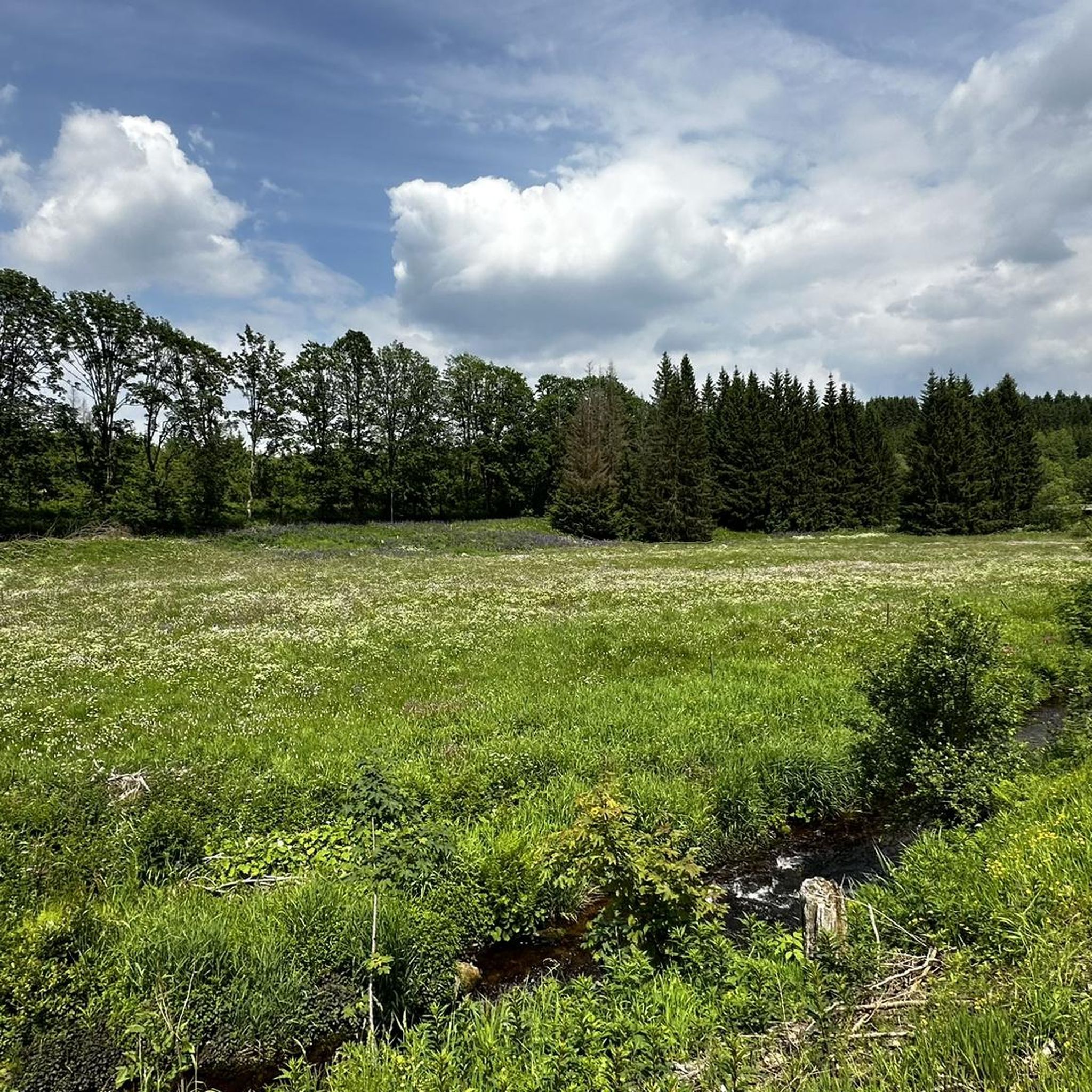
Mountaineering routes in Nsg Bachtäler Im Oberharz Um Braunlage traverse a diverse montane environment within the Harz mountains. The region is characterized by natural stream valleys, including the Bremke and Warmer Bode, featuring varied structures with steep and flat banks. Elevations range from approximately 487 meters to 875 meters above sea level, encompassing nutrient-poor spring mires, bogs, and extensive montane spruce forests, particularly on the slopes of the Wurmberg. This landscape offers challenging terrain suitable for strenuous hiking and mountaineering.
…Last updated: July 10, 2026
8
hikers
13.4km
03:57
400m
400m
Moderate mountaineering route. Good fitness required. Easily-accessible paths. Suitable for all skill levels.
5.0
(2)
11
hikers
24.5km
07:34
890m
890m
Hard mountaineering route. Very good fitness required. Mostly accessible paths. Sure-footedness required.

Sign up for free
5.0
(1)
9
hikers
9.51km
03:03
420m
420m
Moderate mountaineering route. Good fitness required. Easily-accessible paths. Suitable for all skill levels.
5
hikers
10.0km
03:06
390m
390m
Moderate mountaineering route. Good fitness required. Easily-accessible paths. Suitable for all skill levels.
5
hikers
11.3km
03:36
470m
470m
Moderate mountaineering route. Good fitness required. Easily-accessible paths. Suitable for all skill levels.
Get access to more routes and recommendations from other explorers.
Sign up for free
Already have an account?
Our route recommendations are based on thousands of hikes, rides, and runs completed by other people on komoot.
Start today with a free account
Your next adventure awaits.
Login or Signup
Popular around Nsg Bachtäler Im Oberharz Um Braunlage
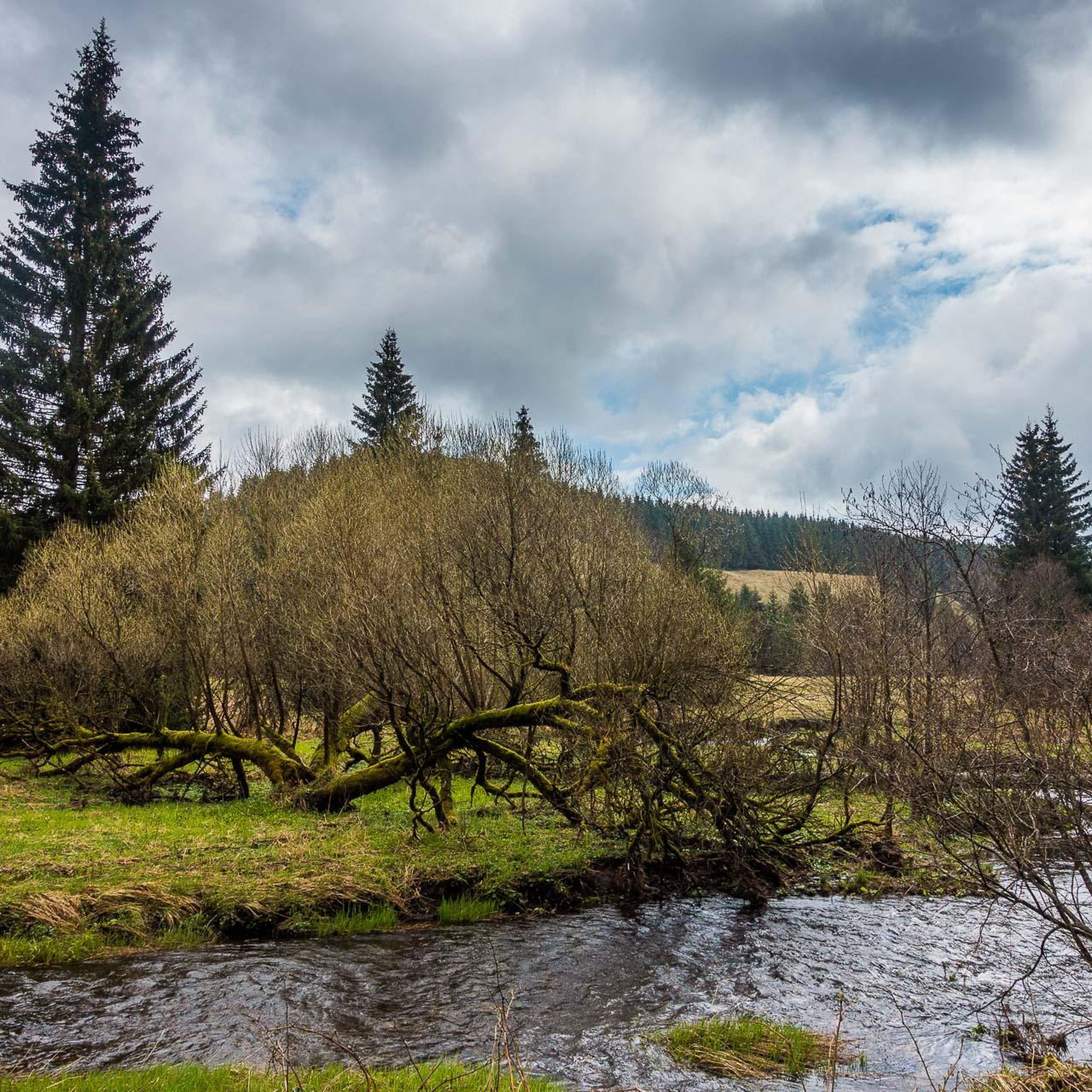
Hiking in Nsg Bachtäler Im Oberharz Um Braunlage
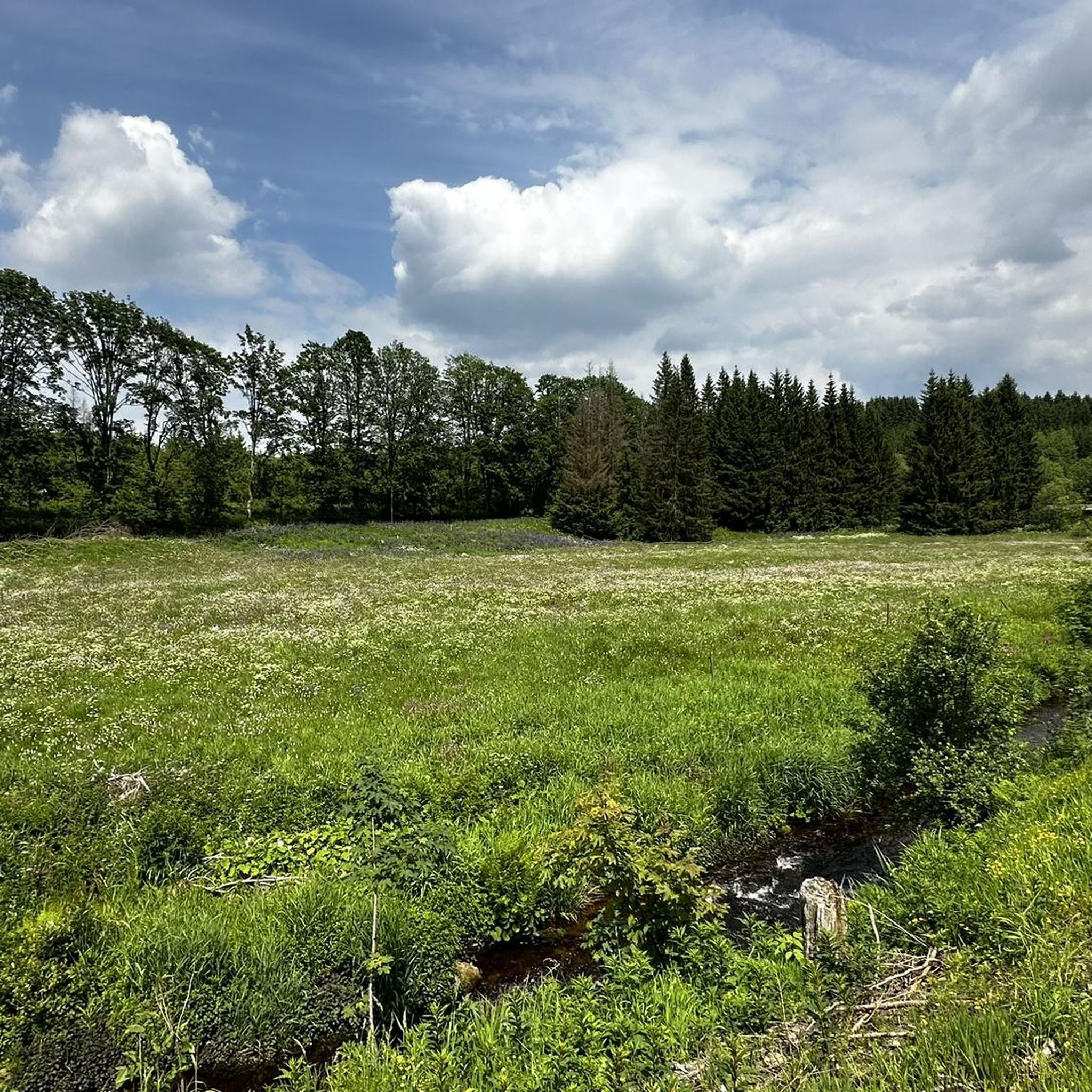
Road Cycling Routes in Nsg Bachtäler Im Oberharz Um Braunlage
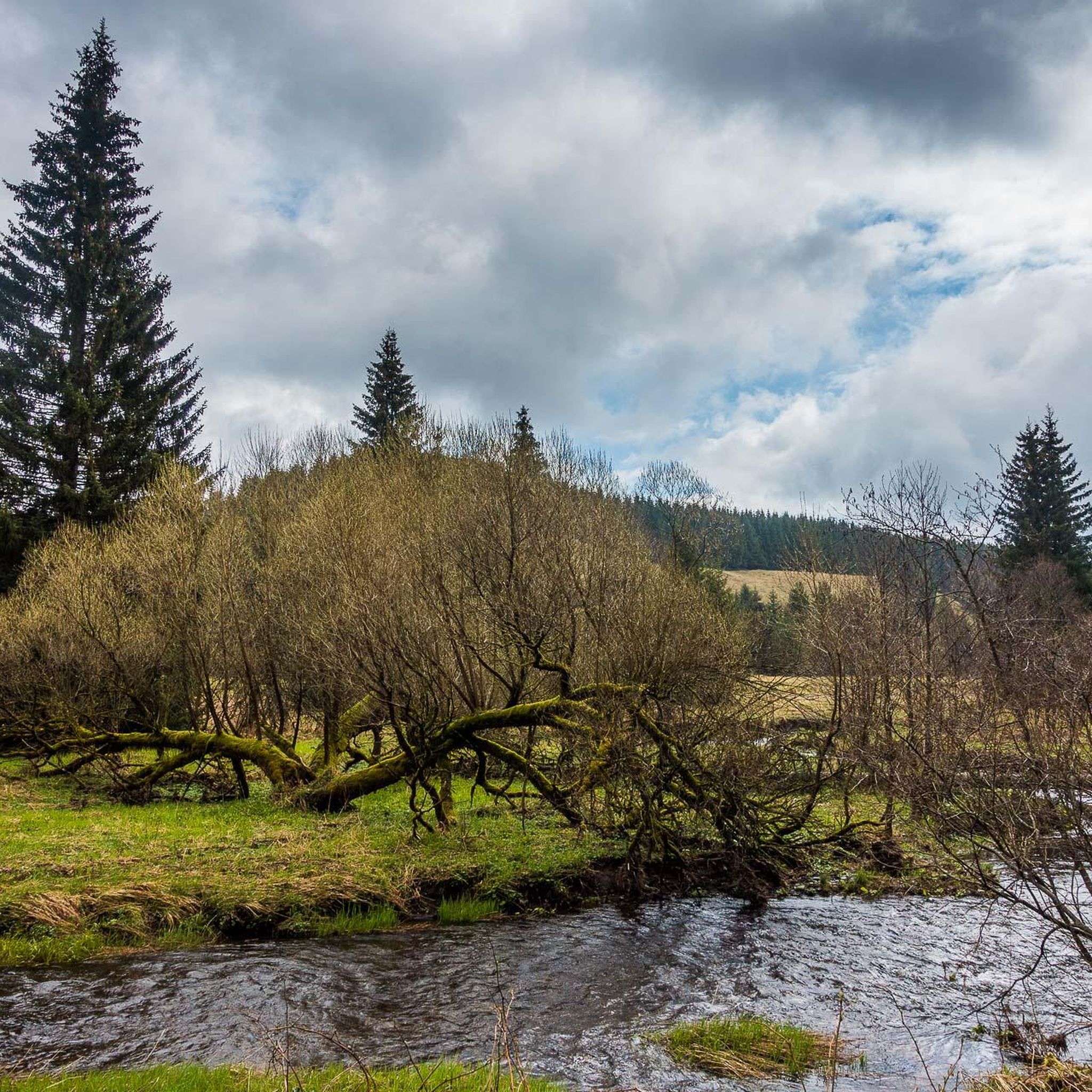
Running Trails in Nsg Bachtäler Im Oberharz Um Braunlage
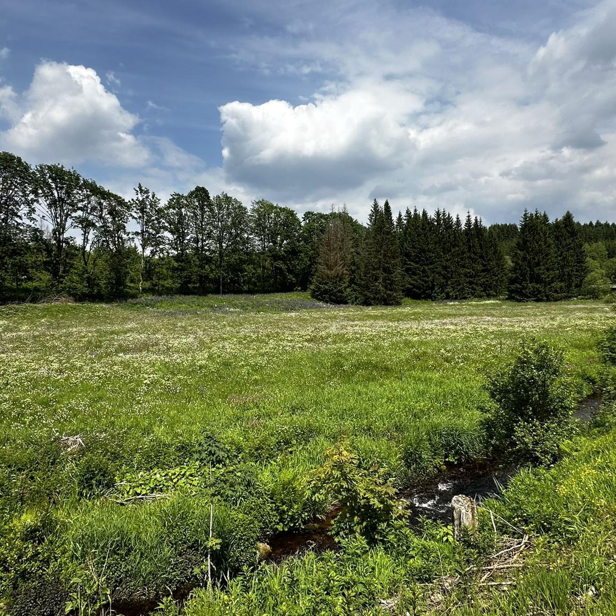
MTB Trails in Nsg Bachtäler Im Oberharz Um Braunlage

Gravel biking in Nsg Bachtäler Im Oberharz Um Braunlage
Cycling in Nsg Bachtäler Im Oberharz Um Braunlage
Tips from the Community

One thing is clear: the view here is truly beautiful.
1
0

One of the many hiking trails! Very beautiful!
7
0

Fairytale-like, idyllic, gently rippling…
3
0

375 steps lead up this staircase to Wurmberg
8
0

The bridge looks a bit wobbly but is totally stable.
0
0

Very worth seeing, you have to see it
0
0

Small, beautiful bridge over the Bremke. I cooled my feet there in the summer :-)
0
0

Frequently Asked Questions
How many mountaineering routes are available in Nsg Bachtäler Im Oberharz Um Braunlage?
There are over 45 mountaineering routes in Nsg Bachtäler Im Oberharz Um Braunlage, offering a wide range of experiences. These include 4 easy, 27 moderate, and 17 difficult trails, ensuring options for various fitness levels and preferences.
What kind of terrain can I expect on mountaineering routes in Nsg Bachtäler Im Oberharz Um Braunlage?
The terrain in Nsg Bachtäler Im Oberharz Um Braunlage is diverse, characterized by natural stream valleys like the Bremke and Warmer Bode, with both steep and flat banks. You'll encounter nutrient-poor spring mires, bogs, and extensive montane spruce forests, especially on the slopes of the Wurmberg. Elevations range from approximately 487 meters to 875 meters, providing challenging ascents and descents.
Are there any family-friendly mountaineering options in the area?
While many routes offer significant elevation changes, there are easier options suitable for families looking for a less strenuous experience. The region's diverse trails include 4 routes classified as easy, which can be a good starting point for families with some hiking experience. Always check the specific route details for suitability.
Can I bring my dog on the mountaineering trails?
The Harz region is generally dog-friendly, and many trails within Nsg Bachtäler Im Oberharz Um Braunlage are suitable for well-behaved dogs on a leash. However, it's always advisable to check local regulations, especially within the nature reserve and bordering Harz National Park, to ensure there are no specific restrictions on certain paths or during particular seasons.
Are there any circular mountaineering routes?
Yes, many routes in Nsg Bachtäler Im Oberharz Um Braunlage are designed as loops, allowing you to start and end at the same point. For example, the Warme Bode stream – Lower Bode Waterfall loop from Braunlage is a popular 13.3 km trail that winds through the scenic Warme Bode stream valley.
What are some notable landmarks or viewpoints along the routes?
The region offers several points of interest. You can explore the Valley trail in the Harzer Bachtäler nature reserve, or discover the historical Kolonnenweg (Green Belt) – Former Border Patrol Road. The slopes of the Wurmberg also provide expansive views of the surrounding Harz landscape.
Are there any challenging mountaineering routes for experienced hikers?
Absolutely. The region offers 17 routes classified as difficult, providing significant elevation changes and demanding terrain. For instance, the Große Wurmbergschanze Stairs – Wurmberg Staircase loop from Braunlage is a challenging 11.3 km route with substantial ascent, ideal for those seeking a strenuous hike.
What do other mountaineers enjoy most about the routes here?
The routes in Nsg Bachtäler Im Oberharz Um Braunlage are highly rated by the komoot community, with an average score of 5.0 stars from over 70 reviews. Mountaineers often praise the diverse stream valleys, the immersive montane spruce forests, and the rewarding ascents to viewpoints like the Wurmberg summit, which offer expansive views of the Harz landscape.
Are there any routes that lead to the Wurmberg summit?
Yes, several routes lead to the prominent Wurmberg summit, offering rewarding views. A popular choice is the Wurmberg Summit – Wurmberg Mountain Adventure World loop from Braunlage, a moderate 9.2 km path with significant elevation gain to the summit. Another option is the Wurmberg Summit – Wurmberg Staircase loop from Braunlage, which takes you through montane spruce forests towards the peak.
Is there parking available near the trailheads?
Braunlage, being a popular starting point for many trails, offers various parking options. Many routes, especially those starting directly from Braunlage, have accessible parking nearby. It's always recommended to check specific trailhead information for the most convenient parking locations before your trip.
What is the best time of year for mountaineering in Nsg Bachtäler Im Oberharz Um Braunlage?
The region is beautiful year-round, but the best time for mountaineering typically depends on your preference. Spring and autumn offer pleasant temperatures and vibrant foliage, while summer provides longer daylight hours. Winter mountaineering is possible, but requires appropriate gear and experience due to snow and ice conditions, especially at higher elevations like the Wurmberg.
Are there any cafes or places to rest along the routes?
While many routes traverse natural, undeveloped areas, you can find places to rest and refuel, particularly closer to Braunlage or at specific points of interest. For example, the HWN 9932 Forest Café Trout Pond is a highlight that offers a place to stop and enjoy refreshments.
Most popular routes in Nsg Bachtäler Im Oberharz Um Braunlage
Most popular attractions in Nsg Bachtäler Im Oberharz Um Braunlage

Get inspired with the komoot mobile app


Explore more
Browse the best Mountain Hikes & Routes in other regions.
