The best MTB trails in Nsg Bachtäler Im Oberharz Um Braunlage
4.6
(3247)
12,369
riders
11
rides
Mountain biking in Nsg Bachtäler Im Oberharz Um Braunlage features a landscape characterized by the Harz mountains, dense forests, and stream valleys. The region offers varied terrain with significant elevation changes, including routes that ascend to prominent summits like the Wurmberg. Trails often navigate through natural park areas, providing a mix of challenging climbs and descents. This environment is suitable for mountain bikers seeking demanding routes within a natural setting.
Best mountain bike trails in Nsg Bachtäler Im Oberharz Um…
Last updated: July 5, 2026
4.8
(131)
478
riders
35.2km
02:51
720m
720m
Moderate mountain bike ride. Good fitness required. Advanced riding skills necessary.
4.7
(80)
286
riders
43.3km
03:31
1,000m
1,000m
Hard mountain bike ride. Very good fitness required. Advanced riding skills necessary.

Sign up for free
4.8
(133)
490
riders
34.9km
03:09
940m
940m
Hard mountain bike ride. Very good fitness required. Advanced riding skills necessary.
4.5
(15)
35
riders
Moderate mountain bike ride. Good fitness required. Suitable for all skill levels.
5.0
(5)
18
riders
45.2km
03:48
880m
870m
Moderate mountain bike ride. Good fitness required. Suitable for all skill levels.
Get access to more routes and recommendations from other explorers.
Sign up for free
Already have an account?
Our route recommendations are based on thousands of hikes, rides, and runs completed by other people on komoot.
Start today with a free account
Your next adventure awaits.
Login or Signup
Popular around Nsg Bachtäler Im Oberharz Um Braunlage
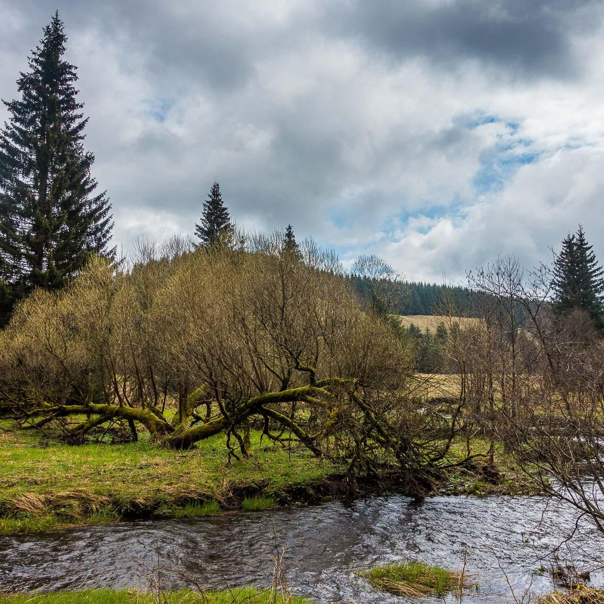
Hiking in Nsg Bachtäler Im Oberharz Um Braunlage
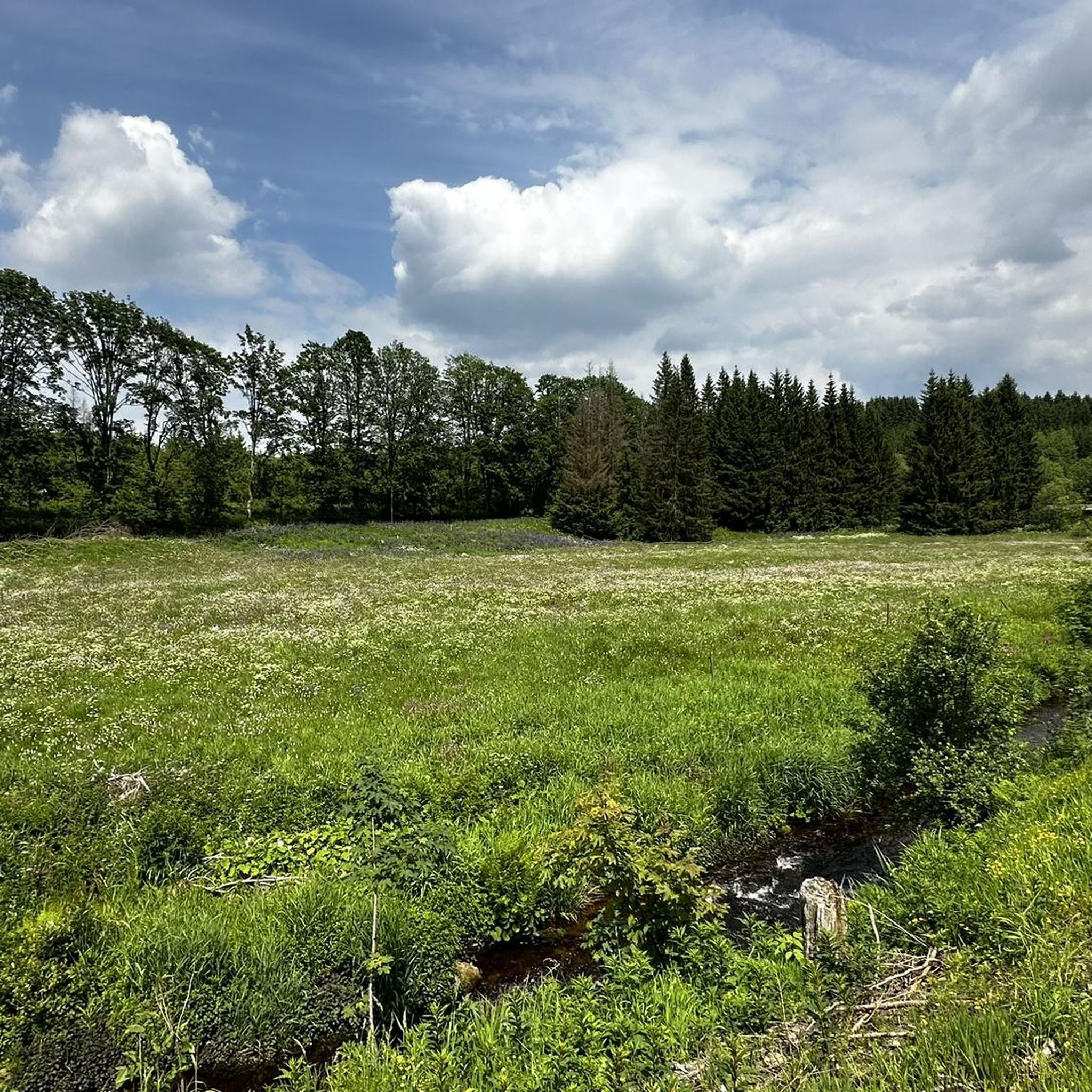
Road Cycling Routes in Nsg Bachtäler Im Oberharz Um Braunlage
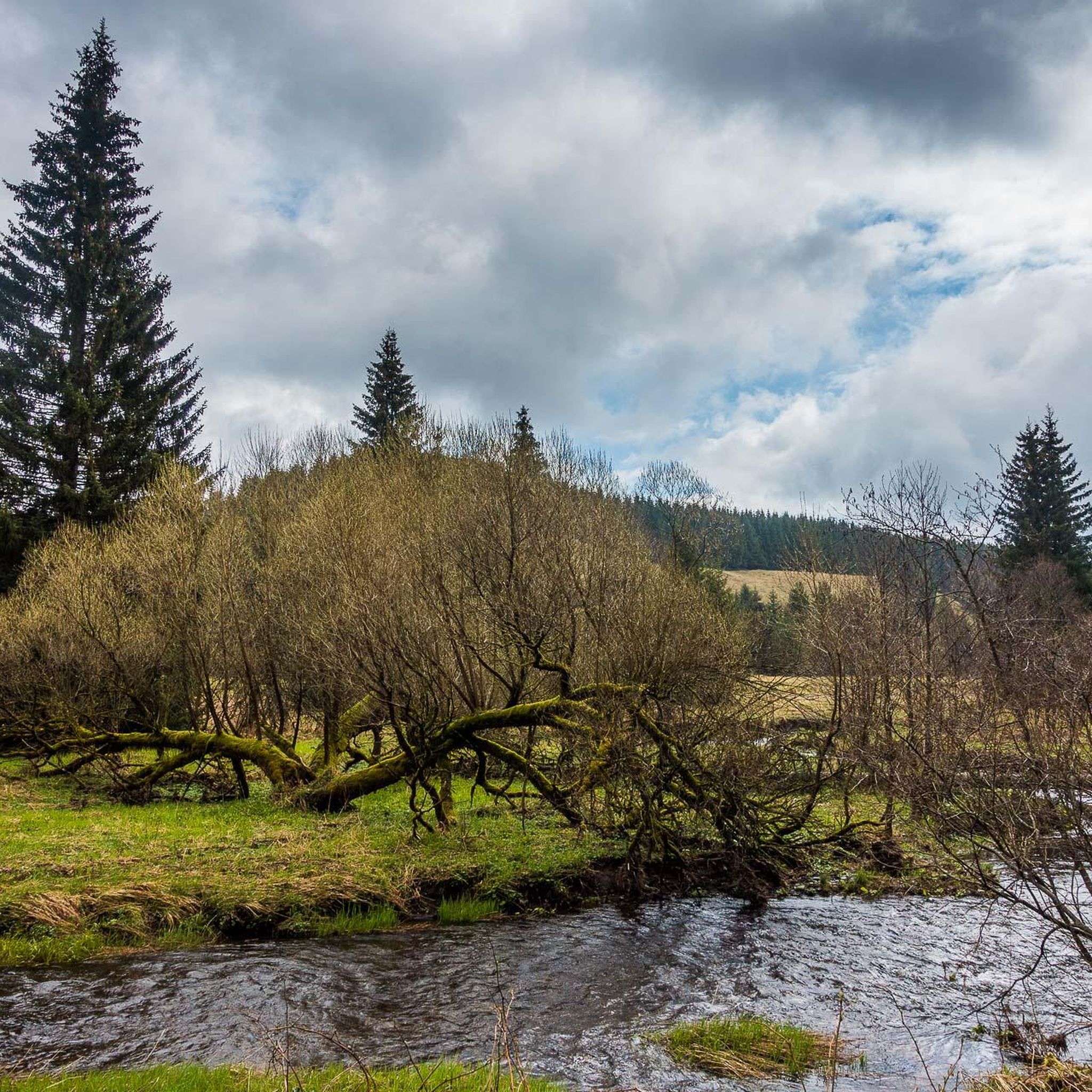
Running Trails in Nsg Bachtäler Im Oberharz Um Braunlage

Gravel biking in Nsg Bachtäler Im Oberharz Um Braunlage
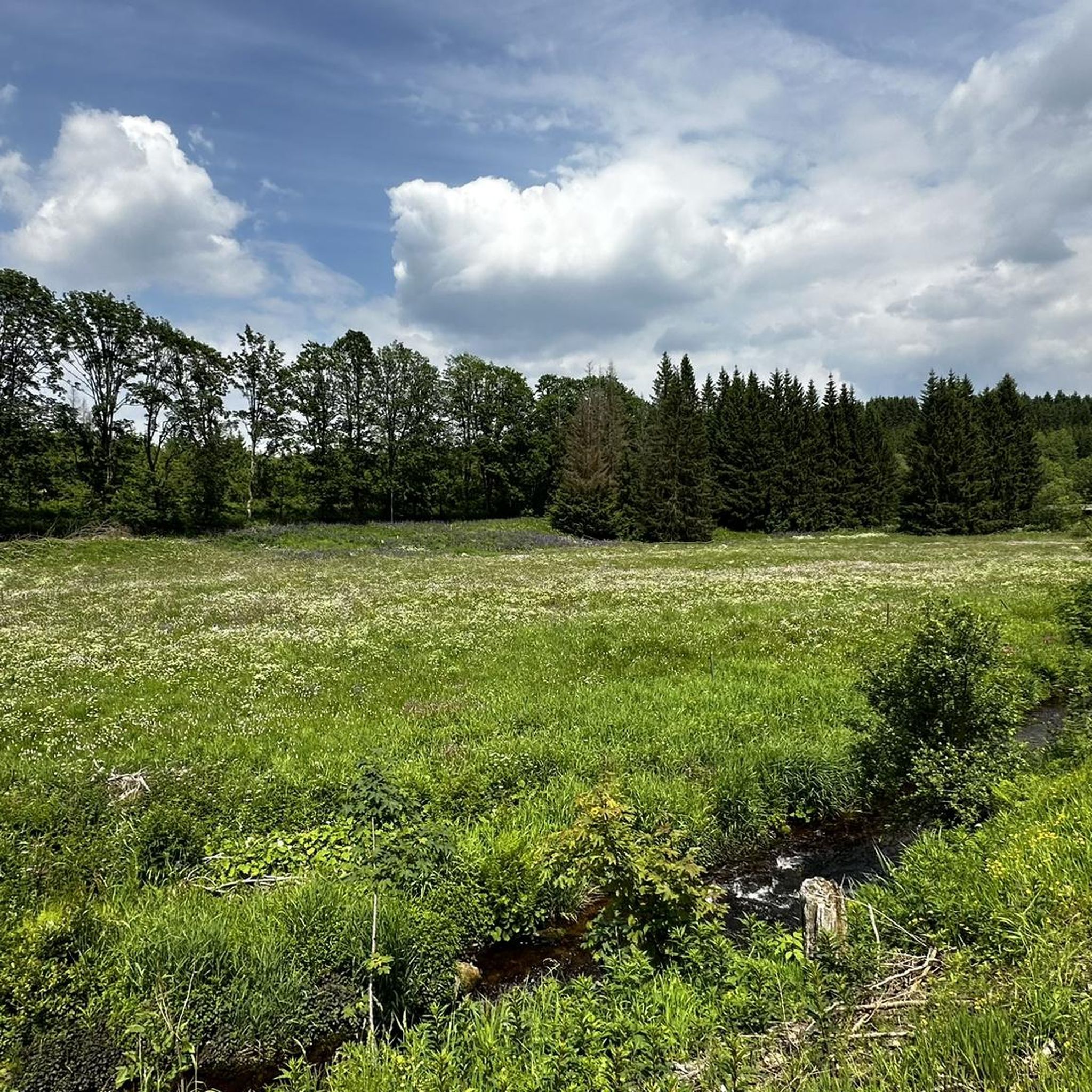
Cycling in Nsg Bachtäler Im Oberharz Um Braunlage
Mountain Hikes in Nsg Bachtäler Im Oberharz Um Braunlage
Tips from the Community

The descent is fun and as an experienced driver you can accelerate to 60-70 km/h
1
0


A popular excursion destination here, you are rarely alone when the weather is good.
5
0
Well, there is not much to see and if you don't walk across the meadow you won't find the location of the former chapel.
13
3

The scenery is very attractive when driving through the Oder valley. It is partially paved, but the majority is soft to medium gravel.
0
0


A piece of German history on the way.
0
0

Between Sankt Andreasberg and Sonneberg are the Dreibrodesteine, three oversized blocks of granite that were formed by woolsack weathering. According to legend, they were made from three loaves of bread belonging to a heartless woman who did not want to help a starving miner. With the words "I would rather have my three loaves of bread become stones," she ignored the miner and the loaves grew into huge stones and pressed the woman into the mossy ground. The granite blocks are said to be a warning against heartlessness. Source: https://www.harzer-wandernadel.de/stempelstellen/uebersichtskarte/stempelstelle-154-dreibrodestein/
2
0
Frequently Asked Questions
How many mountain bike trails are available in Nsg Bachtäler Im Oberharz Um Braunlage?
There are over 10 mountain bike trails documented in Nsg Bachtäler Im Oberharz Um Braunlage on komoot, offering a variety of experiences for riders.
What are the typical difficulty levels for mountain biking in Nsg Bachtäler Im Oberharz Um Braunlage?
The trails in Nsg Bachtäler Im Oberharz Um Braunlage are primarily categorized as moderate or difficult. There are 6 moderate routes and 5 difficult routes, making the region best suited for experienced riders. There are no easy trails listed.
Are there any family-friendly mountain bike trails in Nsg Bachtäler Im Oberharz Um Braunlage?
Given that all routes are rated as moderate or difficult, Nsg Bachtäler Im Oberharz Um Braunlage may not be ideal for families with young children or beginner riders. The terrain often includes significant elevation changes and challenging sections.
What kind of distances can I expect on mountain bike trails in this region?
Mountain bike trails in Nsg Bachtäler Im Oberharz Um Braunlage typically range from around 29 km to 47 km. For example, the Rehberger Grabenhaus (HWN 155) – Waldmühle Trail loop from Braunlage is about 29.8 km, while the Wurmberg Summit – Brocken Summit loop from Braunlage extends to 47.5 km.
Are there any circular mountain bike routes available?
Yes, many of the mountain bike routes in Nsg Bachtäler Im Oberharz Um Braunlage are designed as loops. Examples include the Achtermannshöhe Summit View – Sonnenkappe Trail S1 loop from Braunlage and the Former GDR Border Post – Glashüttenweg Trail loop from Braunlage, offering convenient starting and ending points.
What can I see along the mountain bike trails in Nsg Bachtäler Im Oberharz Um Braunlage?
The trails often pass through scenic areas and near interesting landmarks. You might encounter the Valley trail in the Harzer Bachtäler nature reserve, sections of the historic Kolonnenweg (Green Belt) – Former Border Patrol Road, or the unique Stepping Stones on the Myths Trail (Mythenpfad) in Harz National Park.
Are there any places to stop for refreshments or a break along the routes?
Yes, some routes may pass near places like the HWN 9932 Forest Café Trout Pond, offering opportunities for a break and refreshments amidst your ride.
What do other mountain bikers enjoy most about mountain biking in Nsg Bachtäler Im Oberharz Um Braunlage?
The area is highly rated by the komoot community, with an average score of 4.6 stars from over 3,000 reviews. Reviewers often praise the challenging terrain, the dense forests, and the rewarding summit views, particularly on routes connecting prominent peaks like Wurmberg and Brocken.
Is Nsg Bachtäler Im Oberharz Um Braunlage suitable for advanced mountain bikers?
Absolutely. With 5 difficult routes and significant elevation changes, the region provides ample challenge for advanced mountain bikers. Trails often include demanding climbs and descents through the Harz mountains.
What kind of terrain can I expect when mountain biking here?
You can expect varied terrain characterized by the Harz mountains, dense forests, and stream valleys. The routes often feature significant elevation changes, including ascents to prominent summits, and navigate through natural park areas.
Are there any historical points of interest along the mountain bike trails?
Yes, some trails might lead you past historical sites such as the Rams sawmill, offering a glimpse into the region's past while you ride.
Most popular routes in Nsg Bachtäler Im Oberharz Um Braunlage
Most popular attractions in Nsg Bachtäler Im Oberharz Um Braunlage

Get inspired with the komoot mobile app


Explore more
Browse the best MTB trails in other regions.
