The best mountain hikes in Großer Ronneberg-Bielstein
5.0
(3)
6
hikers
1
hike
Mountaineering routes in Großer Ronneberg-Bielstein traverse a diverse low mountain range landscape within a designated nature reserve. The region features elevations such as Großer Ronneberg (465 meters) and Großer Bielstein (479 meters), separated by the Wolfstal valley and its Wolfsbach stream. Trails lead through natural forest stands, including beech and sycamore-ash ravine forests, and open species-rich mountain meadows. The underlying geology of diabase and slate contributes to varied terrain, offering engaging ascents and valley explorations.
Best mountaineering routes in Großer…
Last updated: July 10, 2026
5.0
(2)
2
hikers
Hard mountaineering route. Good fitness required. Sure-footedness, sturdy shoes and alpine experience required.
5.0
(1)
2
hikers
7.77km
02:38
280m
280m
Hard mountaineering route. Good fitness required. Sure-footedness, sturdy shoes and alpine experience required.

Sign up for free
2
hikers
Moderate mountaineering route. Good fitness required. Mostly accessible paths. Sure-footedness required.
Our route recommendations are based on thousands of hikes, rides, and runs completed by other people on komoot.
Start today with a free account
Your next adventure awaits.
Login or Signup
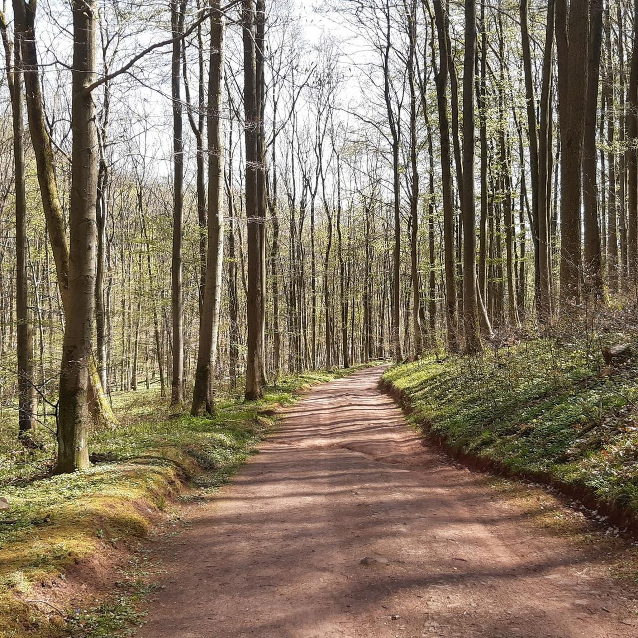
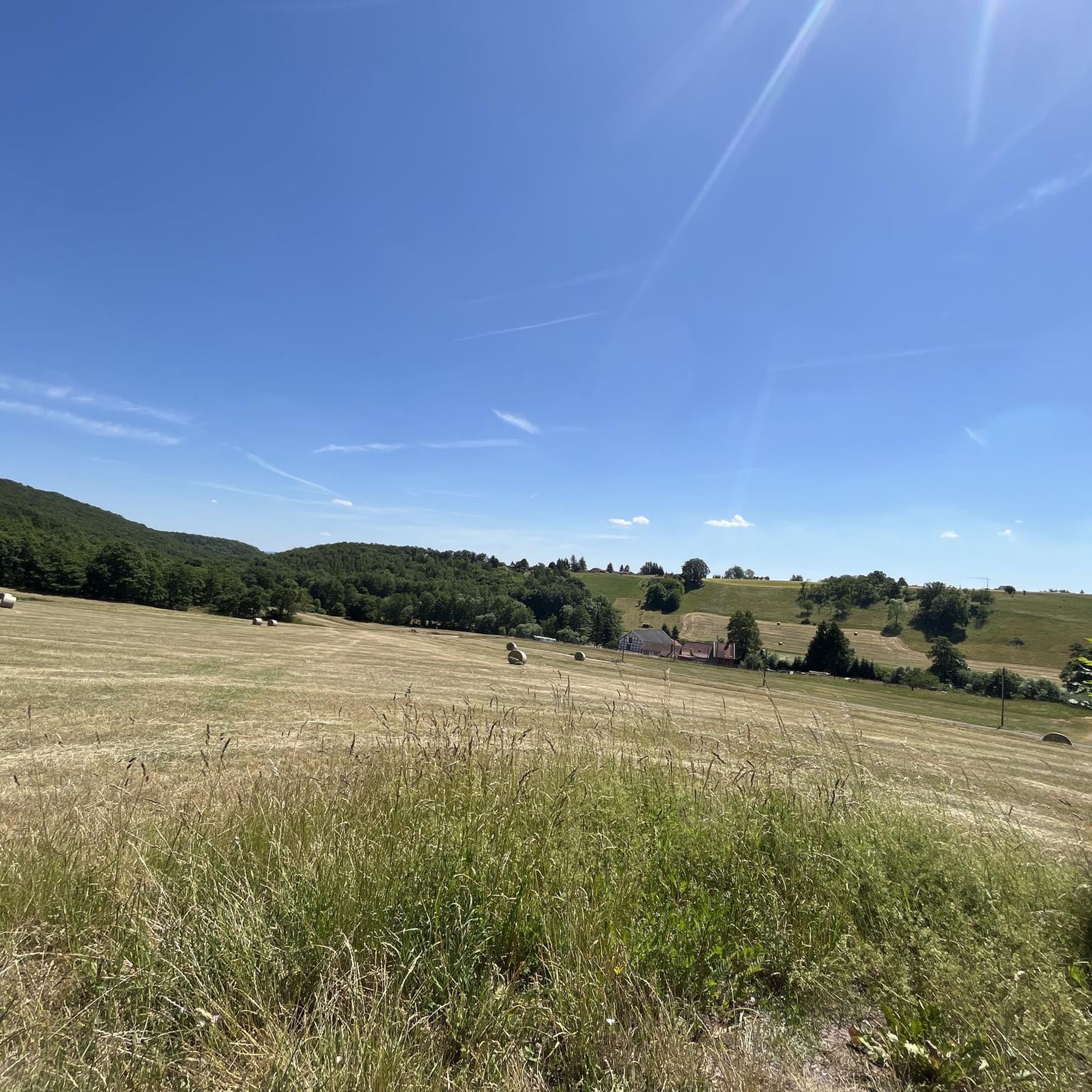
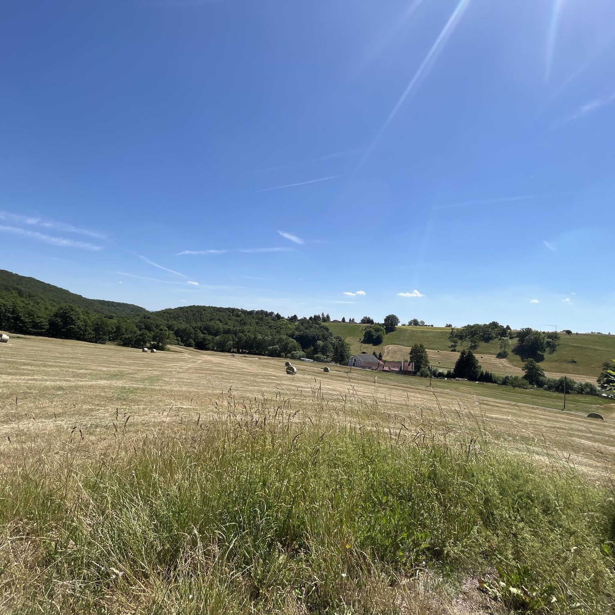
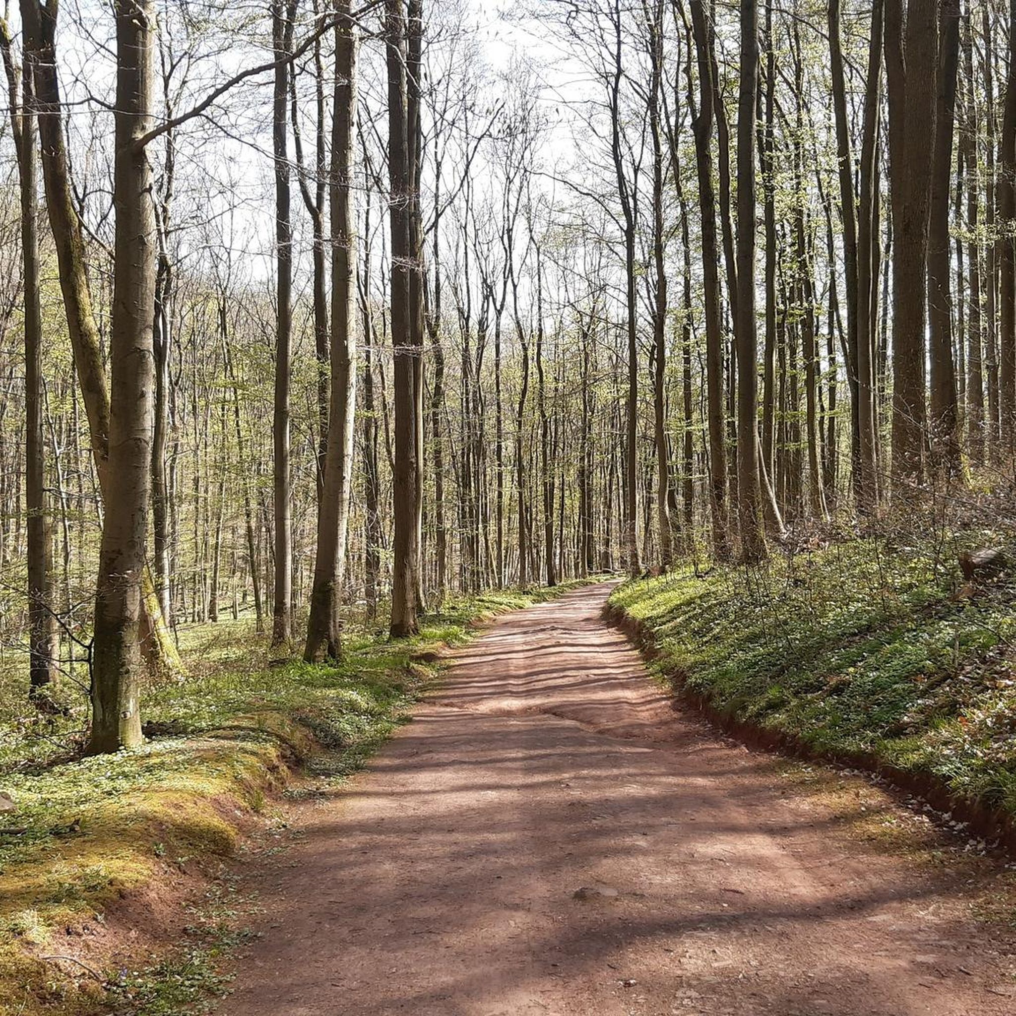
Tips from the Community

Very quiet corner. We hardly met any other hikers. The view from the tower is fantastic. You can see all the way to the Thuringian Forest, the Kyffhäuser Monument, and of course also the Brocken and the Wurmberg. And all this for free. Absolute recommendation!
0
0

nice cozy and quiet corner, the tower also seems to offer a great view (unfortunately it was too high for me) 😎👍
0
0

Pure spring awakening! Discover the fragrant wild garlic meadows in the South Harz Nature Park. A walk or a short hike through lush meadows and light forests, where you can experience the aromatic wild garlic in its natural habitat. Perfect for nature lovers, photography enthusiasts, and anyone who wants to enjoy the fresh air and colors of the South Harz.
0
0

The official hiking trails are well developed and accessible. However, if you choose the single trails T2, you will have to cross difficult terrain to get to them. Here it goes steeply uphill and downhill. The signs are easy to understand even for non-locals and there are unmissable markings every 1-2 km. This means you can get by without navigation.
0
0

Definitely worth a visit. Further information and opening hours can be found here: https://www.rabensteiner-stollen.de/. https://youtu.be/Lgy5evuXHvw?feature=shared https://de.m.wikipedia.org/wiki/Rabensteiner_Stollen
2
0

From the Dreitälerblick lookout point you can - as the name suggests - look into three valleys: Ilfelder Tal, Kalte Tal and Brandesbachtal. The view is beautiful and there is a bench where you can linger and rest. The HWN 93 stamping point is located above the Rabensteiner Stollen visitor mine and is best reached from the Harzquerbahn Netzkater stop. You can also easily incorporate the HWN 93 into a tour with the HWN 95 (Ilfelder Wettervanne) and HWN 92 (Poppenvergturm). For me, the Dreitälerblick is one of the top 50 stamping points on the HWN!
8
0

It's worth climbing the tower!
0
0
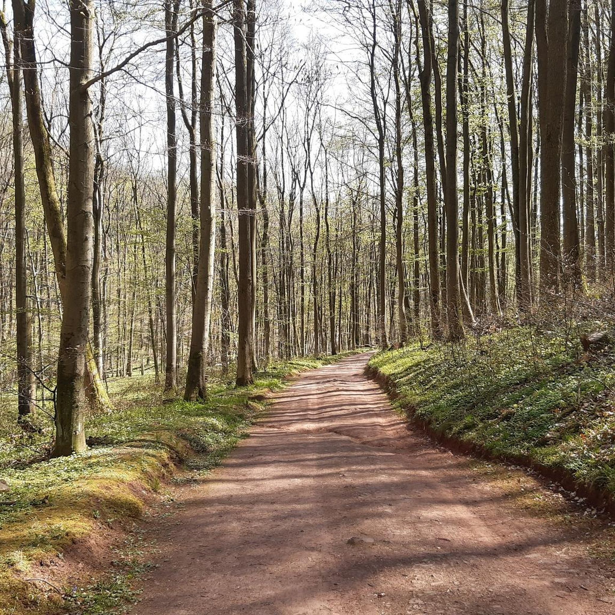
A forest can hardly be more beautiful
0
0
Frequently Asked Questions
What kind of terrain can I expect on mountaineering routes in Großer Ronneberg-Bielstein?
The terrain in Großer Ronneberg-Bielstein is characterized by a diverse low mountain range landscape. You'll encounter natural forest stands, including beech and sycamore-ash ravine forests, as well as open, species-rich mountain meadows. The routes often involve engaging ascents and descents through varied forest terrain and the scenic Wolfstal valley, shaped by underlying diabase and slate geology.
Are there any family-friendly mountaineering routes in Großer Ronneberg-Bielstein?
While many routes are challenging, the area offers options for varying ability levels. For families looking for a substantial but manageable hike, the Poppenberg Tower (HWN 92) – Three-valley view (HWN 93) loop from Ilfeld is rated as moderate. This 10.9 km trail leads through dense woodlands and past notable viewpoints, offering a rewarding experience for active families.
Can I bring my dog on the mountaineering trails?
Großer Ronneberg-Bielstein is a nature reserve, and while dogs are generally welcome on trails, it's important to keep them on a leash to protect the rich biodiversity, including species like wildcats and fire salamanders. This also helps preserve the delicate flora of the species-rich mountain meadows and ravine forests.
What are some notable landmarks or points of interest along the routes?
The region itself is a significant natural landmark. You'll traverse the heights of Großer Ronneberg and Großer Bielstein, separated by the picturesque Wolfstal valley with its winding Wolfsbach stream. Routes like the Poppenberg Tower (HWN 92) – Three-valley view (HWN 93) loop from Ilfeld will take you past notable viewpoints and through dense woodlands, offering scenic vistas of the surrounding nature reserve.
Are there circular mountaineering routes available?
Yes, many of the mountaineering routes in Großer Ronneberg-Bielstein are designed as loops, allowing you to start and end at the same point. For instance, the challenging Three-valley view (HWN 93) – Ilfeld Barbecue Area loop from Naturpark Südharz is a popular circular option, covering 11 km with significant elevation gain.
What is the best time of year to go mountaineering in Großer Ronneberg-Bielstein?
The diverse forests and species-rich mountain meadows make Großer Ronneberg-Bielstein beautiful throughout the warmer months. Spring is particularly vibrant, with the ground flora of the beech forests, such as hollow-rooted larkspur, in full bloom. Autumn offers stunning foliage. While possible, winter mountaineering requires appropriate gear due to potential snow and ice in the low mountain range.
How do I get to Großer Ronneberg-Bielstein by public transport?
Specific public transport options directly to trailheads can vary. It's advisable to research local bus or train services to nearby towns like Ilfeld or Stolberg, and then plan for a short walk or taxi to the nature reserve's access points. The region is well-connected to the surrounding Harz area.
Where can I park my car when visiting Großer Ronneberg-Bielstein?
Designated parking areas are typically available near the main access points and trailheads of nature reserves. For routes starting near Ilfeld or Naturpark Südharz, look for official parking lots. It's always recommended to check local signage for specific parking regulations within the nature reserve.
What kind of wildlife can I expect to see?
As a vital nature reserve, Großer Ronneberg-Bielstein is home to rich biodiversity. You might spot various bird species like the stock dove or Eurasian siskin. The area also provides refuge for endangered insects such as the scarce fritillary and stag beetle, and larger mammals like wildcats. Keep an eye out for fire salamanders, especially near the Wolfsbach stream.
What do other mountaineers enjoy most about Großer Ronneberg-Bielstein?
The area is highly rated by the komoot community, with an average score of 5.0 stars. Mountaineers often praise the diverse landscapes, from dense woodlands to open meadows, and the challenging yet rewarding ascents and descents. The tranquility of the protected nature reserve and the well-maintained trails are frequently highlighted.
Are there any particularly challenging mountaineering routes?
Yes, for those seeking a challenge, routes like the Goose's Beak – Three-valley view (HWN 93) loop from Ilfeld are rated as difficult. This 7.5 km path offers challenging ascents and descents through the scenic Wolfstal valley, providing a strenuous but rewarding experience for experienced mountaineers.
What should I pack for a mountaineering trip in Großer Ronneberg-Bielstein?
Given the varied terrain and potential for significant elevation changes, sturdy hiking boots are essential. Layered clothing is recommended to adapt to changing weather conditions, and rain gear is always a good idea. Don't forget water, snacks, a map or GPS device, and a first-aid kit. Trekking poles can be helpful on steeper sections.
Most popular routes in Großer Ronneberg-Bielstein

Get inspired with the komoot mobile app


Explore more
Browse the best Mountain Hikes & Routes in other regions.
