The best cycling routes in Vereinigte Mulde Eilenburg - Bad Düben
4.5
(1843)
6,646
riders
568
rides
Touring cycling routes in Vereinigte Mulde Eilenburg - Bad Düben traverse a landscape shaped by the Vereinigte Mulde river, featuring natural floodplains, diverse forest landscapes, and rural areas. The region includes wetlands and oxbow lakes, providing habitats for local flora and fauna. Towards Bad Düben, the Dübener Heide adds ecological interest. Cycling here is characterized by easy routes with minimal elevation changes, making it suitable for various fitness levels.
Best touring cycling routes in Vereinigte Mulde Eilenburg - Bad Düben
…Last updated: July 10, 2026
4.7
(17)
73
riders
41.4km
02:37
70m
70m
Moderate bike ride. Good fitness required. Mostly paved surfaces. Suitable for all skill levels.
4.7
(10)
47
riders
Easy bike ride. Great for any fitness level. Mostly paved surfaces. Suitable for all skill levels.

Sign up for free
5.0
(2)
14
riders
20.2km
01:12
100m
100m
Easy bike ride. Great for any fitness level. Mostly paved surfaces. Suitable for all skill levels.
20
riders
Easy bike ride. Great for any fitness level. Mostly paved surfaces. Suitable for all skill levels.
5.0
(6)
12
riders
Easy bike ride. Great for any fitness level. Mostly paved surfaces. Suitable for all skill levels.
Get access to more routes and recommendations from other explorers.
Sign up for free
Already have an account?
Our route recommendations are based on thousands of hikes, rides, and runs completed by other people on komoot.
Start today with a free account
Your next adventure awaits.
Login or Signup
Popular around Vereinigte Mulde Eilenburg - Bad Düben

Tips from the Community

The church in Gruna is the center of the village, right on the village square, flanked by the fire station and the community center.
0
0

After 1945, the Grunaer Church was left unused for services and exposed to weathering and destruction. The flood of the century in 2002 had ultimately also severely damaged the house of worship internally. During the renovation work in the church, precious gravestones (epitaphs) made of Italian marble and other valuable stones from the time of the von Spiegel family were found. They lay with the valuable, carved side facing down in the floor and had not been recognized as such until then. In 2005, fourteen epitaphs, after extensive reconstruction, were placed around the inner surrounding walls and are now visible to everyone. 6 years after the flood, the Grunaer Church could be returned to its original use in 2008 after extensive repair and renovation. Source https://laussig.com/index.php/kirchen/kirche-gruna
2
0
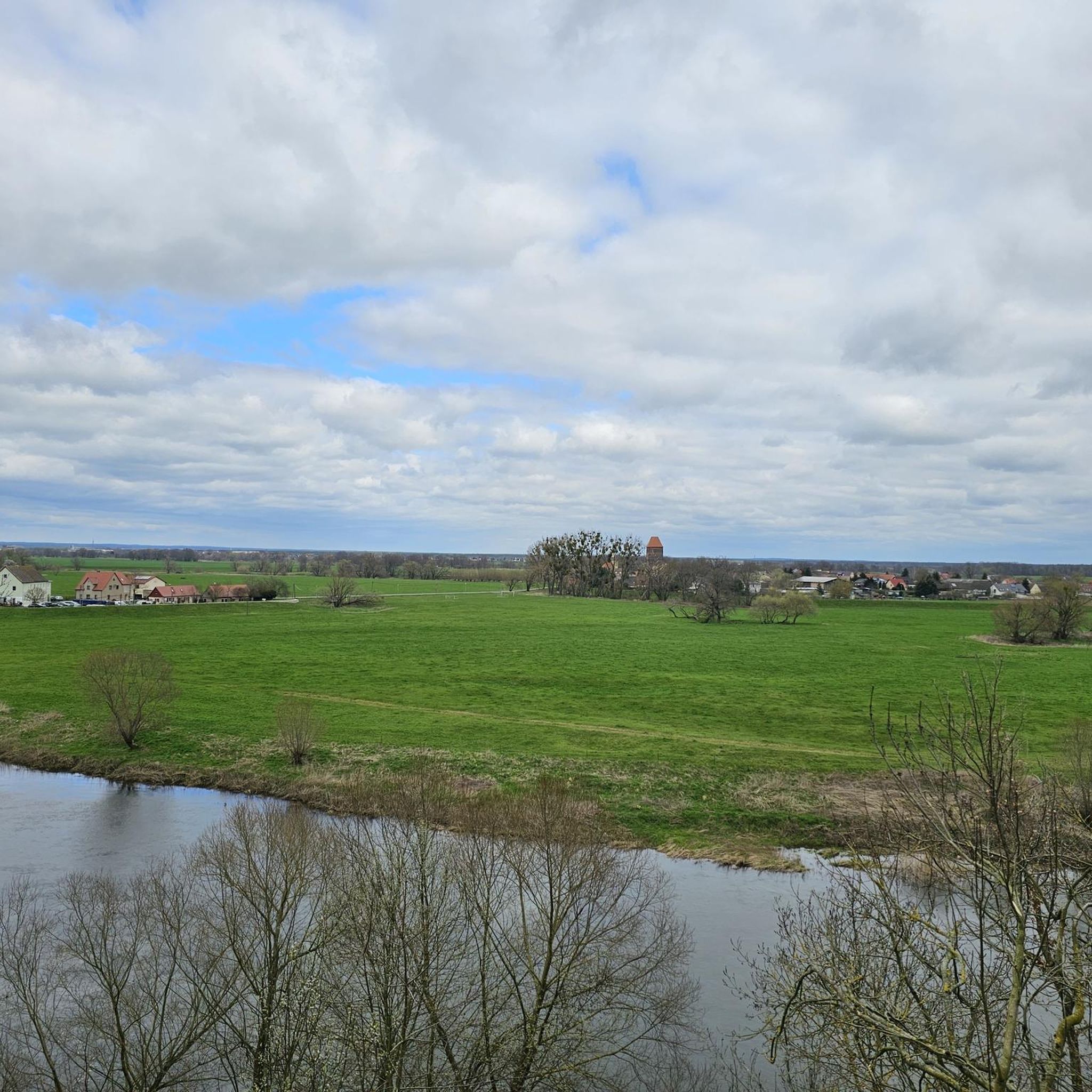
The Wendenturm, which only received this name in the 19th century, is the keep of a 14th-century moated castle. In plan, it represents a rectangle with a base area of 8 x 9.5 m and walls 2 m thick. In addition, the tower with a hipped roof is approx. 30 m high. Together with the modern manor house, it stands on an earth mound - the remains of a Slavic motte-and-bailey castle. The mound has a diameter of approx. 50 m. It is surrounded on the NE, SE, and SW sides by an approx. 30 m wide, once water-filled moat, which has a depth of approx. 2.5 to 3 m. Source https://www.burgenwelt.org/deutschland/wendenturm/object.php
1
0
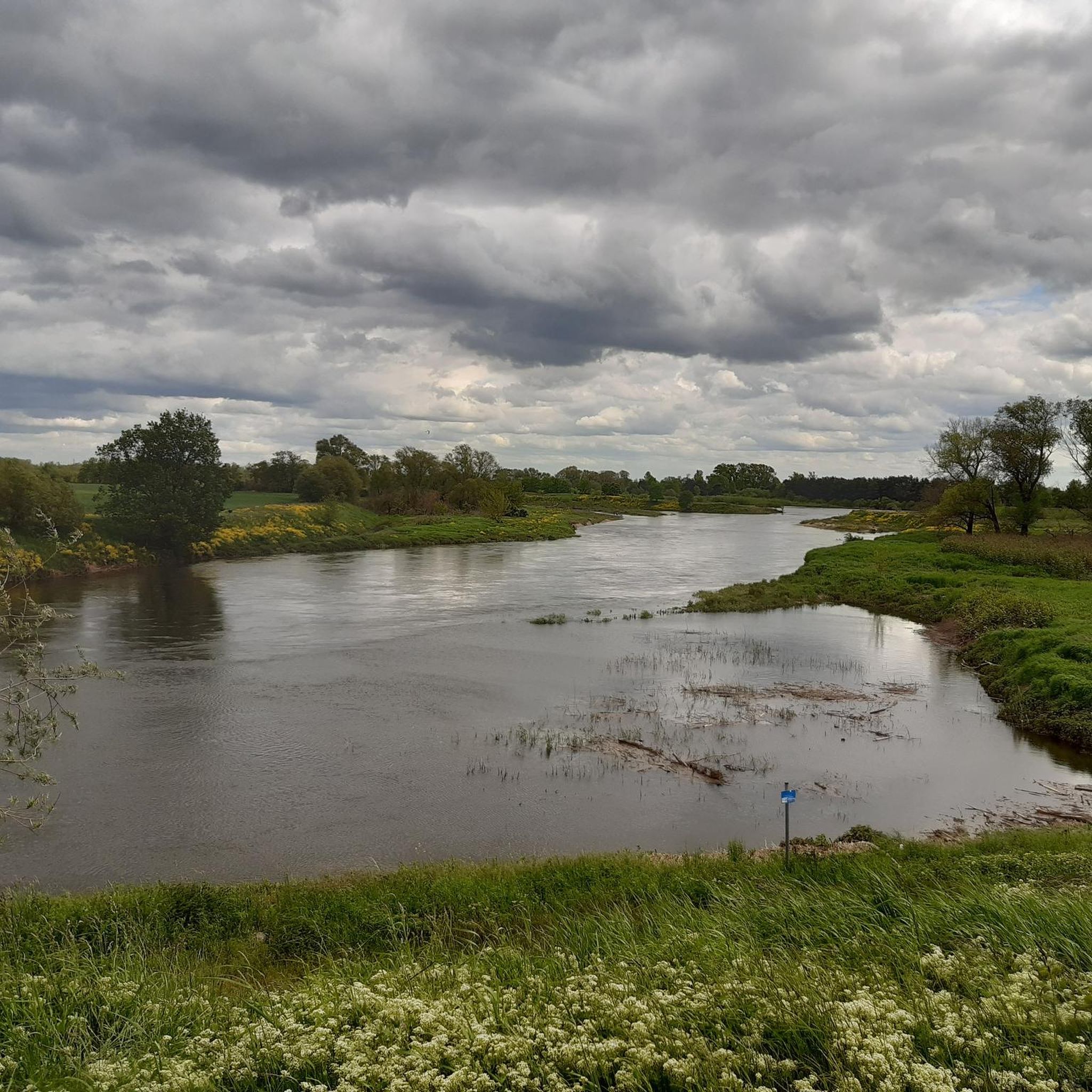
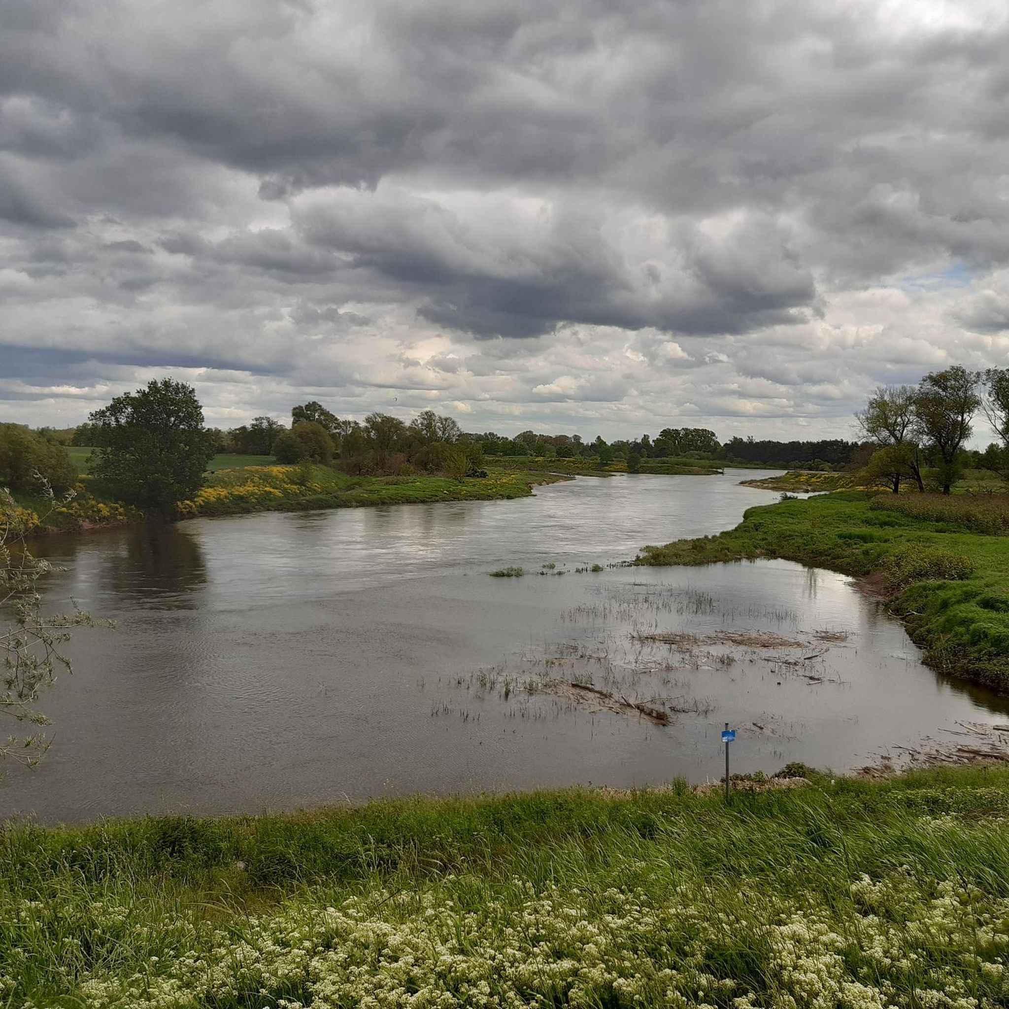
The Mulde flows exclusively in the North German Plain, initially through the Saxon Uplands, and passes Grimma, Nerchau, and Trebsen. Approximately near Wurzen, on the western edge of which it flows, the Mulde reaches the Elbe-Mulde Lowland. It then flows through Eilenburg and Bad Düben and shortly thereafter leaves Saxon territory. The remaining course to its mouth is covered by the Mulde in Saxony-Anhalt. Further downstream, until 1975, the Mulde flowed west of the two places Pouch and Friedersdorf in the area of today's Goitzschesee. Since then, it has been dammed up east of the two places in the Muldestausee – a former open-cast mine. Subsequently, the Mulde flows past Muldenstein, Jeßnitz, Raguhn, and Dessau and flows into the Elbe between Dessau and Roßlau after 147 km.[2] The revitalization project "Wilde Mulde" for the lower course in Dessau was recognized in November 2018 as an official project of the UN Decade of Biodiversity.[11][12] Source https://de.wikipedia.org/wiki/Mulde_(Fluss)#Hochwasser
4
0
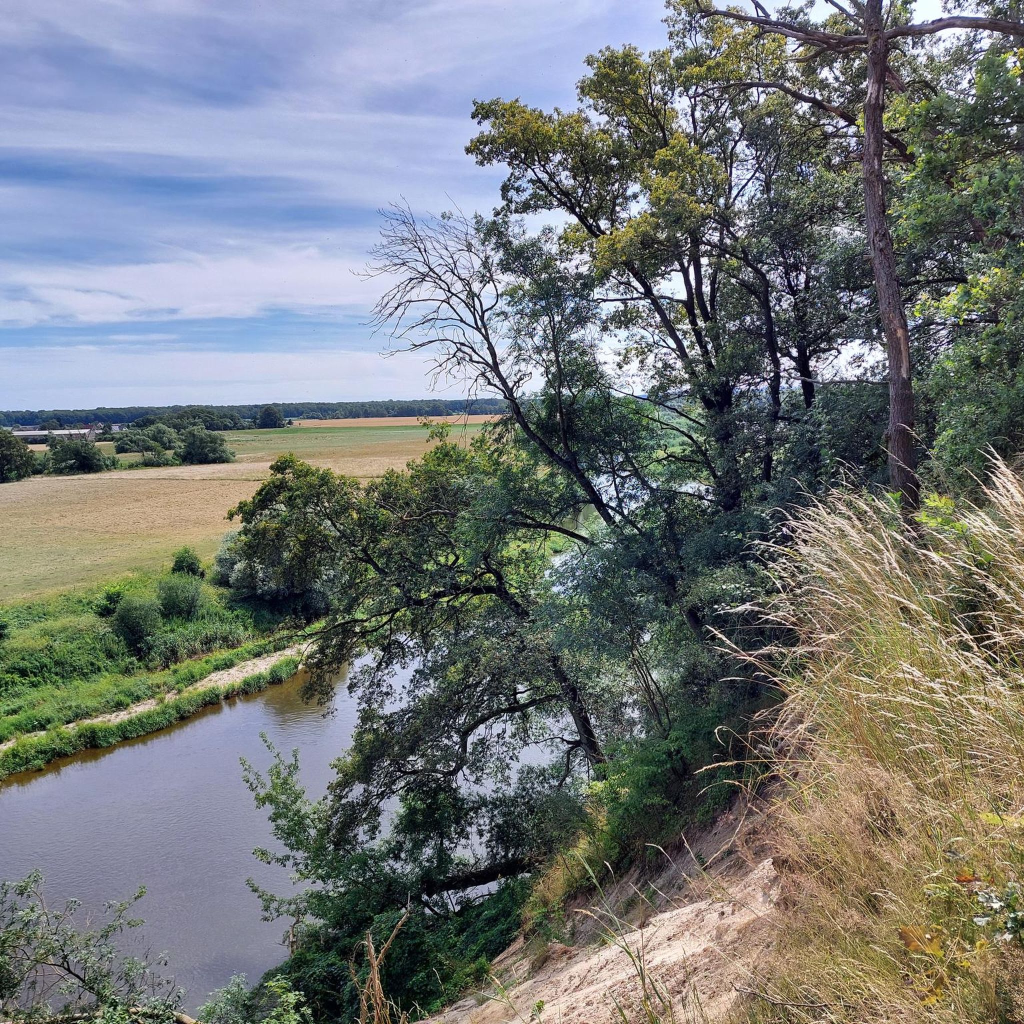
Although the confluence of the two source rivers takes place at approximately half the total length of the Mulde, the Freiberger Mulde and Zwickauer Mulde already contribute over 80% of the total water volume. This is due to the shape of the catchment area, which is very wide in the Ore Mountains and narrows towards the Elbe, and also to the higher precipitation in the mountains and simultaneously higher proportion of runoff water. The shape of the catchment areas also means that the longer Zwickauer Mulde is the smaller of the two source rivers at the confluence. The hydrologically strongly dominating main branch of the Freiberger Mulde river system is the Zschopau. In its upper catchment area, it is again a named tributary, the Flöha, that contributes the larger water flow and is thus the actual source river of the Mulde. Along this main flow path, the Mulde is approximately 267 kilometers long, and along the longest flow path (Zwickauer Mulde) a good 314 kilometers.[3] The Mulde catchment area shows total drops of 600 to 900 meters for many important flow paths, so that exceptionally high flow velocities prevail here for Northern Germany. The Mulde is sometimes even referred to as the fastest flowing river in Central Europe.[10] Source https://de.wikipedia.org/wiki/Mulde_(Fluss)#Hochwasser
4
0
Frequently Asked Questions
What kind of terrain can I expect on the touring cycling routes in the Vereinigte Mulde Eilenburg - Bad Düben region?
The region offers a diverse landscape shaped by the Vereinigte Mulde river. You'll cycle through natural floodplains, varied forest landscapes, and rural areas. The paths include a mix of forest and field paths, as well as paved and gravel sections. The routes are generally easy with minimal elevation changes, making them suitable for all fitness levels.
How many touring cycling routes are available in Vereinigte Mulde Eilenburg - Bad Düben?
There are over 600 touring cycling routes in the Vereinigte Mulde Eilenburg - Bad Düben region. Of these, more than 370 are classified as easy, 147 as moderate, and 82 as difficult, offering options for every skill level.
Are there any circular touring cycling routes in the area?
Yes, many routes in the region are designed as loops. For example, the Eilenburg Market Square – Eilenburg Town Hall loop from Eilenburg is a popular circular trail that takes you through urban and riverside areas. Another option is the Eis Café Krause Eilenburg – Eilenburg Water Tower loop from Eilenburg, which is a shorter, easy ride.
What are some notable attractions or viewpoints along the cycling routes?
The region is rich in natural beauty and historical sites. You can experience the charming Gruna Ferry, which allows cyclists to cross the Mulde River. Near Zschepplin, the Baroque Palace Hohenprießnitz with its English park is a worthwhile detour. In Bad Düben, explore the historic Burg Düben, the Bergschiffmühle, or the Museumsdorf Dübener Heide. You can also find interesting Stone Monuments in Schlosspark Hohenprießnitz.
Is the Vereinigte Mulde Eilenburg - Bad Düben region suitable for family cycling trips?
Absolutely. The region is known for its easy and relaxed cycling experience, primarily along the Mulderadweg, with minimal elevation changes. This makes it ideal for families with children or those seeking a leisurely ride. The natural floodplains and forests offer a pleasant and safe environment for all ages.
Can I bring my dog on the touring cycling routes?
Many of the natural paths and rural areas along the Mulde Cycle Path are suitable for cycling with dogs, provided they are well-behaved and kept on a leash where necessary, especially in nature protection areas. The region's extensive natural landscapes, including wetlands and oxbow lakes, offer plenty of opportunities for outdoor activity with your canine companion.
What is the best time of year to go touring cycling in this region?
Spring and summer are particularly beautiful times to visit, as the meadows along the path transform into a natural park landscape with an abundance of flowers. The weather is generally pleasant for cycling. However, the region's natural beauty can be enjoyed throughout the warmer months.
Are there any cafes or restaurants along the cycling routes?
While specific establishments vary, towns like Eilenburg and Bad Düben offer various cafes and restaurants where you can refuel. Smaller villages along the Mulde Cycle Path may also have local eateries. It's always a good idea to check opening times in advance, especially in rural areas.
How can I access the cycling routes using public transport?
Eilenburg and Bad Düben are accessible by public transport, including regional trains and buses, which often accommodate bicycles. It's recommended to check the specific transport provider's regulations regarding bicycle carriage before your trip to ensure a smooth journey to your starting point.
Where can I park my car if I want to start a cycling tour?
Parking facilities are typically available in the larger towns like Eilenburg and Bad Düben, often near train stations or town centers. When planning your route, look for designated parking areas in these towns or at popular access points along the Mulderadweg.
What do other touring cyclists enjoy most about cycling in Vereinigte Mulde Eilenburg - Bad Düben?
The region is highly rated by the komoot community, with an average score of 4.5 stars from over 1,800 reviews. Cyclists often praise the easy, flat terrain, the beautiful natural floodplains, and the peaceful atmosphere along the Mulde River. The well-maintained paths and the blend of nature and cultural sights are frequently highlighted.
Are there any less crowded or 'hidden gem' routes I should explore?
Beyond the main Mulderadweg, the region's extensive network of paths through forests and rural areas offers many quieter options. Consider exploring routes that venture slightly away from the river, such as the Gruna Cyclists' Church – Damm Cycle Path loop from Vereinigte Mulde Eilenburg - Bad Düben, which allows you to discover charming villages and serene landscapes.
Most popular routes in Vereinigte Mulde Eilenburg - Bad Düben
Most popular attractions in Vereinigte Mulde Eilenburg - Bad Düben

Get inspired with the komoot mobile app


Explore more
Browse the best Cycling routes in other regions.
