The best MTB trails in Vereinigte Mulde Eilenburg - Bad Düben
4.6
(160)
498
riders
140
rides
Mountain biking in Vereinigte Mulde Eilenburg - Bad Düben offers diverse terrain across the Mulde river landscape and the Dübener Heide. The region is characterized by extensive floodplains, meandering river sections, and the largest mixed forest in Central Germany. Riders will encounter varied landscapes including open meadows, dense woodlands, and riverine ecosystems, providing a range of natural features for exploration. This area presents a network of trails suitable for different skill levels, from gentle paths along the Mulde to more…
Last updated: July 10, 2026
4.5
(6)
14
riders
Easy mountain bike ride. Great for any fitness level. Suitable for all skill levels.
5.0
(1)
5
riders
Moderate mountain bike ride. Good fitness required. Advanced riding skills necessary.

Sign up for free
5.0
(1)
2
riders
Easy mountain bike ride. Great for any fitness level. Suitable for all skill levels.
5.0
(1)
9
riders
37.5km
02:14
120m
120m
Moderate mountain bike ride. Good fitness required. Advanced riding skills necessary.
5.0
(3)
10
riders
Moderate mountain bike ride. Good fitness required. Suitable for all skill levels.
Get access to more routes and recommendations from other explorers.
Sign up for free
Already have an account?
Our route recommendations are based on thousands of hikes, rides, and runs completed by other people on komoot.
Start today with a free account
Your next adventure awaits.
Login or Signup
Popular around Vereinigte Mulde Eilenburg - Bad Düben

Tips from the Community

Definitely worth seeing
1
0
After its construction in 1916, the tower was used to supply process water for the celluloid factory. In 2002, the water tower was no longer needed for its original purpose; however, it has since served as a fire water reservoir for the industrial and commercial area. As part of species protection, 20 nesting sites for swifts were established in the tower shaft. Optically imperceptible antenna systems from mobile network operators are installed in the upper cylindrical shell.[2][3] Source https://de.wikipedia.org/wiki/Wasserturm_(Deutsche_Celluloid-Fabrik)
4
0
The structure shapes the silhouette of the city of Eilenburg with its height of 60.5 meters. The water tower was built in the Intze style. Ten reinforced concrete columns distributed around its circumference form the basic static structure.[4] Inside, the first staircase winds spirally over 184 steps along the tower wall and the columns up to the 54,000-liter waste butanol container. Below the cylindrical shell are oval and round windows, offering a wide view over the city, the former ECW site, and the Mulde floodplain. Another 117 steps of a spiral staircase lead to the lantern under the tower's spire.[2][3] Source https://de.wikipedia.org/wiki/Wasserturm_(Deutsche_Celluloid-Fabrik)
4
0
The water tower was built in 1915–1916 by the construction company Dykerhoff & Widmann AG (Dresden branch) as a process water reservoir and to stabilize the water pressure for the then Deutsche Celluloid-Fabrik, later Eilenburger Chemiewerk (ECW). The tower had three water tanks with a capacity of 1 × 1500 m³ and 2 × 500 m³. The tower was completed in 1916, and later rectification plants were installed in the tower shaft, with which water was again removed from the technical alcohol used in drying processes. In 1950, the first renovation of the water tower took place. In 2002/2003, the tower was extensively renovated again. The rectification plants were dismantled, the 500 m³ tank in the basement was adapted as a fire water reservoir for the neighboring industrial area and supplemented with modern pumping technology. The collapse-endangered, corrosion-affected reinforced concrete structure of the conical shell roof was replaced by a steel-wood construction, nesting sites were created, and antenna systems for mobile communications were installed. For the reception and transmission of the latter, several large slots have been milled and clad into the cylindrical outer wall below the roof.[1] The lantern was rebuilt on the ground and lifted onto the conical roof by a crane. This use of the tower justified its preservation and the total renovation costs of 1,597,500 euros. The planning was the responsibility of the engineering firm Röder (Doberschütz). The renovation measure, officially completed on February 24, 2004, was carried out by 18 ABM (employment program) workers, coordinated by the Leipzig employment office and the executing company Dr. Waldenburger GmbH.[2][3] Source https://de.wikipedia.org/wiki/Wasserturm_(Deutsche_Celluloid-Fabrik)
4
0
The water tower of the former Deutsche Celluloid-Fabrik (DCF) in Eilenburg is a 60.5-meter-high water tower built in 1916 for the industrial water supply of the former chemical plant. It is registered as a cultural monument in the state monument list as a building that shapes the cityscape and an outstanding example of industrial architecture in Eilenburg. Source https://de.wikipedia.org/wiki/Wasserturm_(Deutsche_Celluloid-Fabrik)
4
0
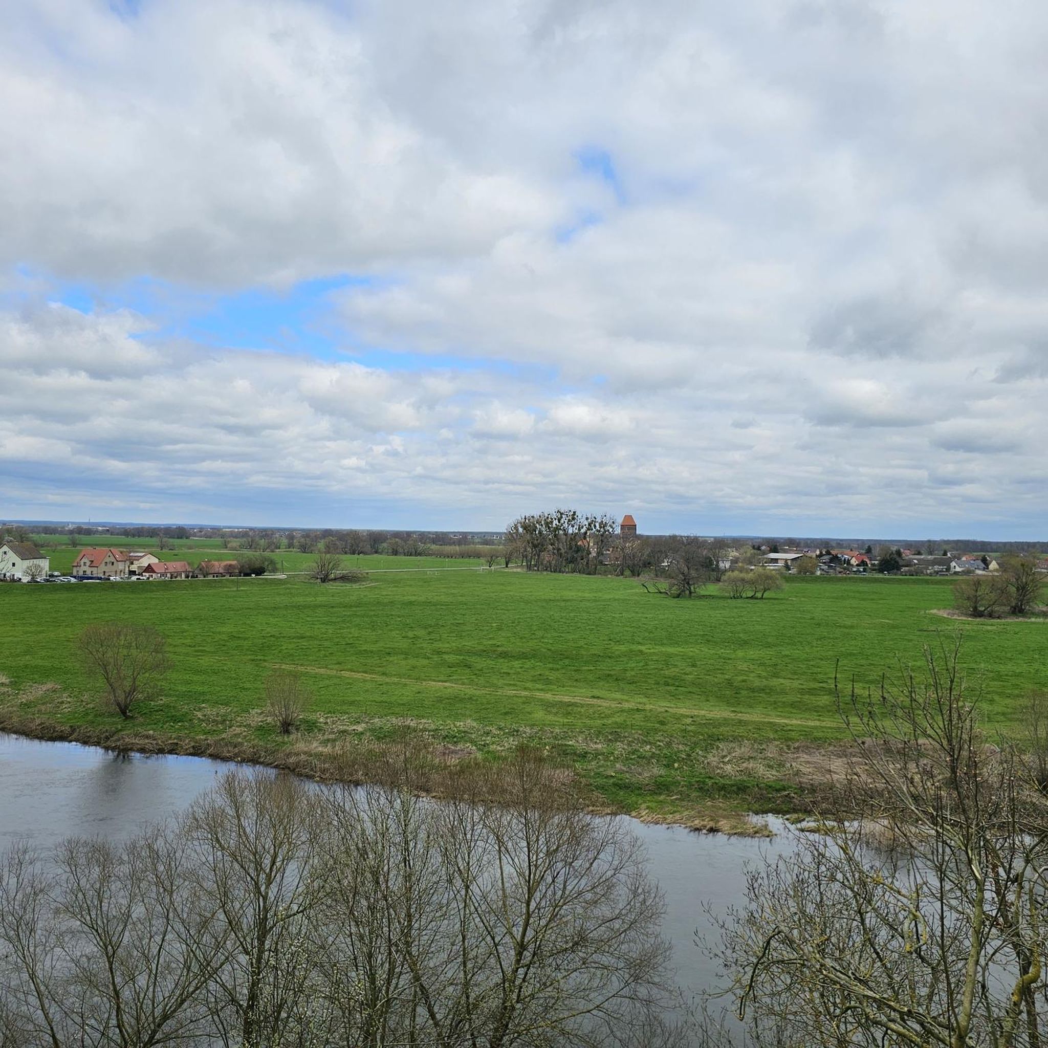
The Mulde flows exclusively in the North German Plain, initially through the Saxon Uplands, and passes Grimma, Nerchau, and Trebsen. Approximately near Wurzen, on the western edge of which it flows, the Mulde reaches the Elbe-Mulde Lowland. It then flows through Eilenburg and Bad Düben and shortly thereafter leaves Saxon territory. The remaining course to its mouth is covered by the Mulde in Saxony-Anhalt. Further downstream, until 1975, the Mulde flowed west of the two places Pouch and Friedersdorf in the area of today's Goitzschesee. Since then, it has been dammed up east of the two places in the Muldestausee – a former open-cast mine. Subsequently, the Mulde flows past Muldenstein, Jeßnitz, Raguhn, and Dessau and flows into the Elbe between Dessau and Roßlau after 147 km.[2] The revitalization project "Wilde Mulde" for the lower course in Dessau was recognized in November 2018 as an official project of the UN Decade of Biodiversity.[11][12] Source https://de.wikipedia.org/wiki/Mulde_(Fluss)#Hochwasser
4
0
Although the confluence of the two source rivers takes place at approximately half the total length of the Mulde, the Freiberger Mulde and Zwickauer Mulde already contribute over 80% of the total water volume. This is due to the shape of the catchment area, which is very wide in the Ore Mountains and narrows towards the Elbe, and also to the higher precipitation in the mountains and simultaneously higher proportion of runoff water. The shape of the catchment areas also means that the longer Zwickauer Mulde is the smaller of the two source rivers at the confluence. The hydrologically strongly dominating main branch of the Freiberger Mulde river system is the Zschopau. In its upper catchment area, it is again a named tributary, the Flöha, that contributes the larger water flow and is thus the actual source river of the Mulde. Along this main flow path, the Mulde is approximately 267 kilometers long, and along the longest flow path (Zwickauer Mulde) a good 314 kilometers.[3] The Mulde catchment area shows total drops of 600 to 900 meters for many important flow paths, so that exceptionally high flow velocities prevail here for Northern Germany. The Mulde is sometimes even referred to as the fastest flowing river in Central Europe.[10] Source https://de.wikipedia.org/wiki/Mulde_(Fluss)#Hochwasser
4
0
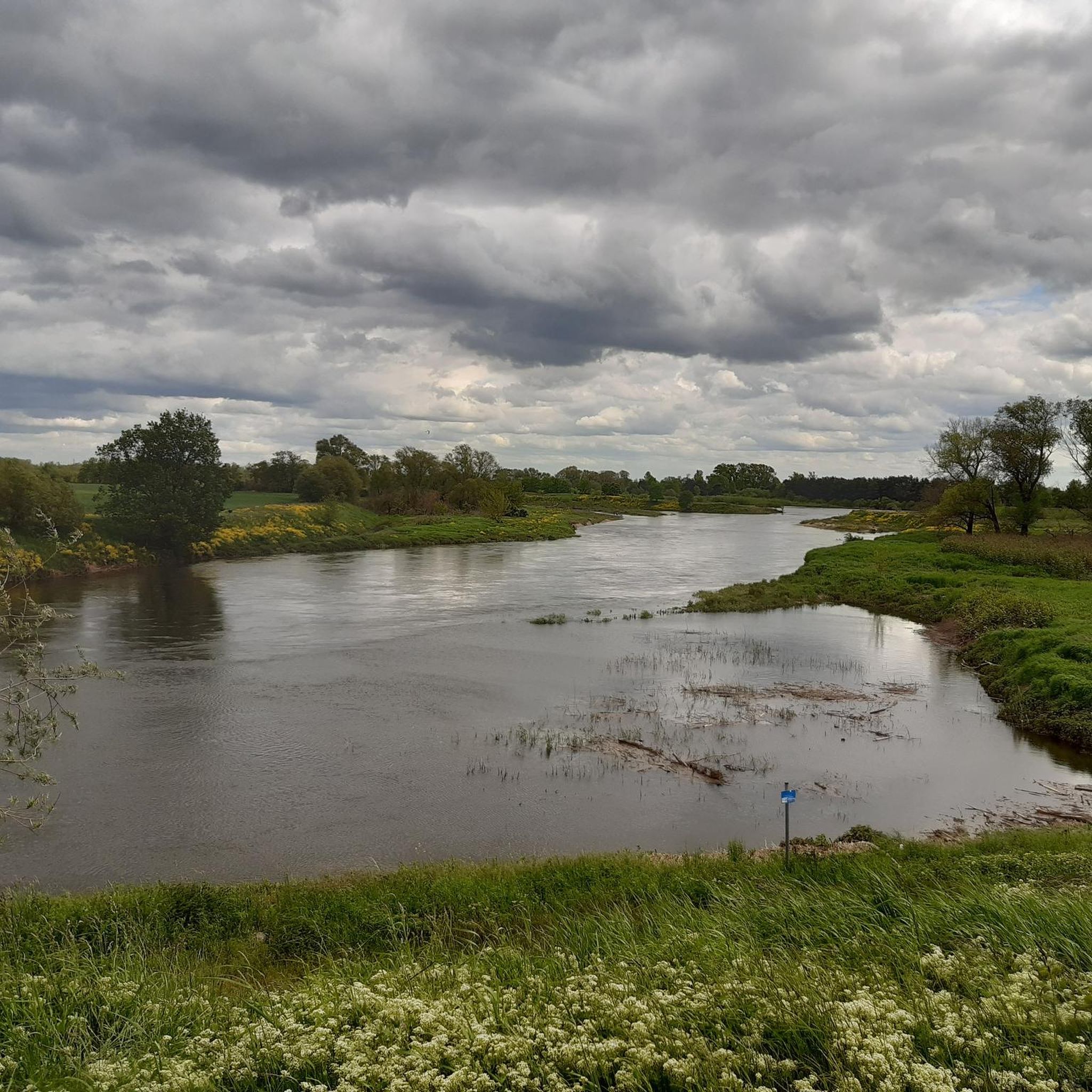
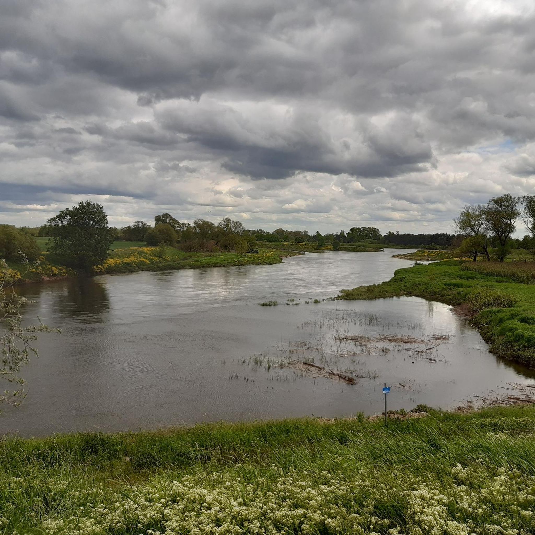
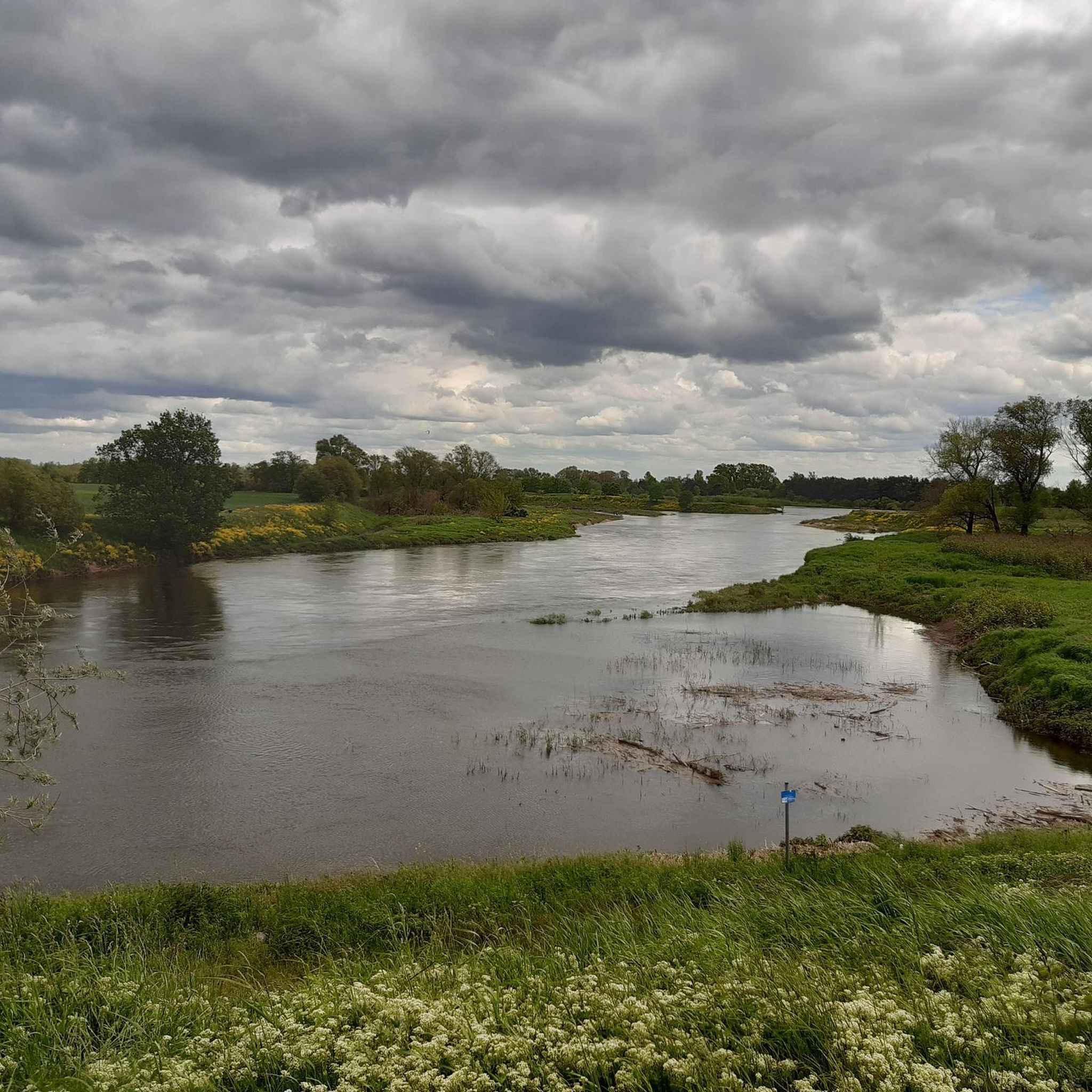
The Mulde, also known as Vereinte Mulde or Vereinigte Mulde, is a left-hand, non-navigable tributary of the Elbe. It is formed southeast of Leipzig near Sermuth (Saxony) by the confluence of two large headwaters, the longer Zwickauer Mulde and the Freiberger Mulde, which drains a larger catchment area with a greater discharge. The river's catchment area covers large parts of Saxony and, in particular, by far the largest part of the northern slopes of the Ore Mountains. With a water flow of approximately 73 m³/s at its mouth[8], it is the fourth largest tributary of the Elbe. The old name for the Mulde, Milda, is translated by linguists as "the water-rich one".[9] The word component Mel, referring to grinding, is sometimes associated with the name in view of the large number of mills previously operated on the river, which overlooks the fact that river names represent the oldest, often Slavic or Celtic, geographical name layer.
4
0
Frequently Asked Questions
How many mountain bike trails are available in Vereinigte Mulde Eilenburg - Bad Düben?
The Vereinigte Mulde Eilenburg - Bad Düben region offers a wide selection of mountain bike trails, with over 140 routes available on komoot. This includes a mix of easy, moderate, and a few more challenging options.
What kind of terrain can I expect on mountain bike trails in this region?
You can expect diverse terrain, ranging from the flat, meandering paths along the Mulde river landscape to the shaded forests and varied ground of the Dübener Heide. The region features expansive meadows, dense woodlands, and riverine ecosystems, providing a mix of surfaces from gravel paths to forest trails.
Are there easy mountain bike trails suitable for beginners or families?
Yes, there are plenty of easy trails. For instance, the Mulde River in Eilenburg – Heinzelmännchen Fountain loop from Eilenburg is an easy 11.2 km route that follows the river, offering gentle gradients and scenic views. There are 42 easy routes in total, making it a great area for less experienced riders or family outings.
Are there any challenging mountain bike routes for experienced riders?
While the majority of trails are easy to moderate, there are a few routes that offer more challenge. The region has 4 difficult trails, providing opportunities for experienced riders to test their skills on varied terrain within the Dübener Heide and Mulde floodplains.
What are some scenic highlights or natural features to look out for on the trails?
The region is rich in natural beauty. You'll encounter the protected Mulde river landscape with its old river arms and diverse wildlife, including beavers. The vast Dübener Heide offers extensive mixed forests and idyllic waters. Keep an eye out for unique geological features like the "Rote Ufer" (Red Bank) near Bad Düben. You might also cross scenic spots like the Bridge Over the Idyllic Muldenaue.
Are there any circular mountain bike routes in Vereinigte Mulde Eilenburg - Bad Düben?
Yes, many routes in the region are designed as loops. A popular moderate circular route is the View of the Muldestausee – Mulde Bridge, Bad Düben loop from Bad Düben, which covers 37.5 km and offers diverse scenery. Another option is the Mulde River in Eilenburg – Mulden Bridge Eilenburg loop from Eilenburg, a 14.7 km easy trail.
Can I bring my dog on the mountain bike trails?
Many trails in the Vereinigte Mulde Eilenburg - Bad Düben region are suitable for mountain biking with dogs, especially those through the extensive forests of the Dübener Heide or along the Mulde river. However, as parts of the area are protected nature reserves, it's always best to keep dogs on a leash to protect local wildlife and respect other trail users.
What is the best time of year for mountain biking in this area?
The region is enjoyable for mountain biking throughout much of the year. Spring and autumn offer pleasant temperatures and beautiful scenery with blooming meadows or colorful foliage. Summer is also great, especially for rides through the shaded forests of the Dübener Heide. During bird breeding seasons, some areas along the Mulde river might have restrictions, so it's good to check local signage.
Are there places to eat or stay near the mountain bike trails?
The town of Bad Düben, a spa town, offers various amenities including cafes, restaurants, and accommodation options. Eilenburg also provides facilities for visitors. You'll find places to refresh and refuel in and around these main towns, often conveniently located near trailheads.
What do other mountain bikers say about the trails in Vereinigte Mulde Eilenburg - Bad Düben?
The mountain bike trails in Vereinigte Mulde Eilenburg - Bad Düben are highly rated by the komoot community, with an average score of 4.6 stars from over 150 reviews. Riders often praise the diverse landscapes, the peaceful river sections, and the well-maintained paths through the Dübener Heide.
Are there any historical or cultural attractions along the mountain bike routes?
Yes, the region offers cultural points of interest. Bad Düben itself is a historic spa town with a castle. You might also encounter sites like the Remains of Defensive Trenches from April 1945 or the Stone Monuments in Schlosspark Hohenprießnitz, adding a historical dimension to your ride.
Is there public transport access to the mountain bike trails?
The towns of Eilenburg and Bad Düben serve as good starting points and are generally accessible by public transport. From these towns, you can often connect directly to various trail networks. It's advisable to check local bus or train schedules for specific access points to the trails.
Where can I find parking for mountain biking in the region?
Parking is typically available in and around the main towns like Eilenburg and Bad Düben, which serve as common starting points for many routes. Look for designated parking areas near trailheads or in town centers, often with good access to the trail network.
Most popular routes in Vereinigte Mulde Eilenburg - Bad Düben
Most popular attractions in Vereinigte Mulde Eilenburg - Bad Düben

Get inspired with the komoot mobile app


Explore more
Browse the best MTB trails in other regions.
