The best road cycling routes in Endmoränenlandschaft Ringenwalde
4.7
(60)
320
riders
20
rides
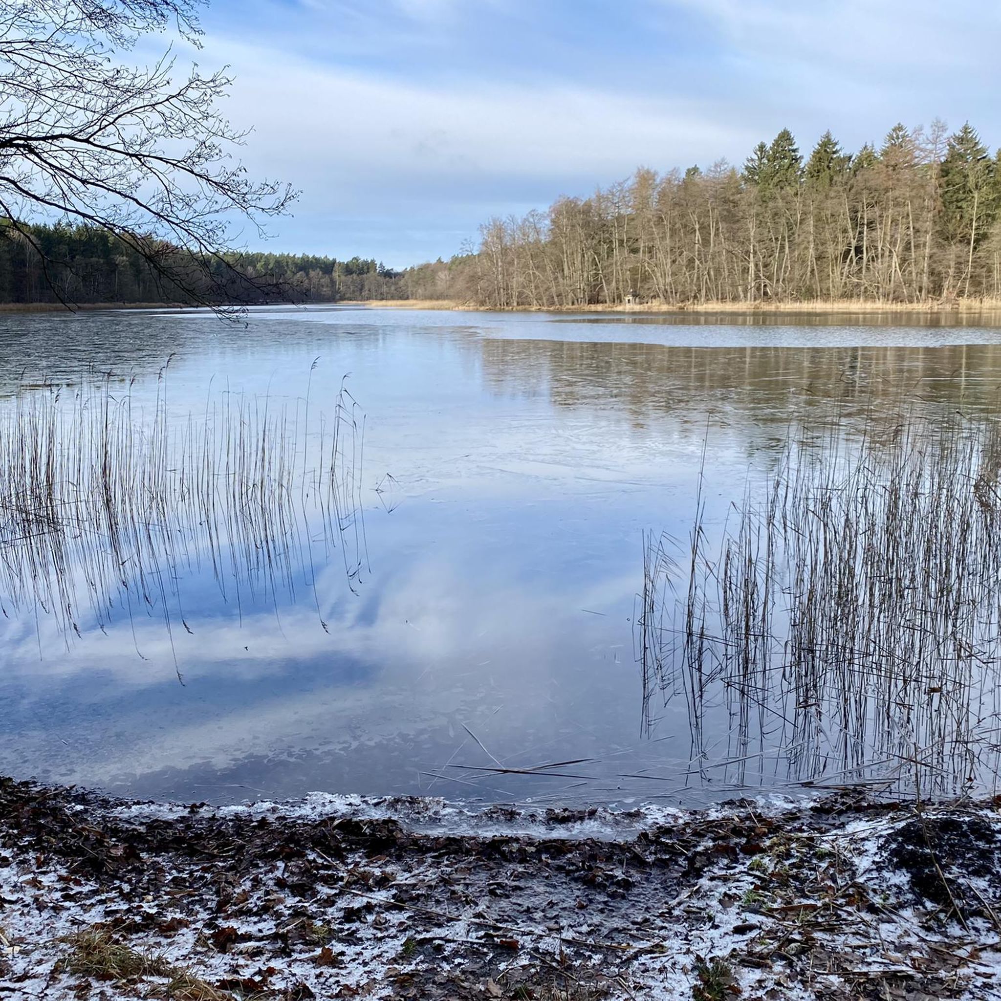
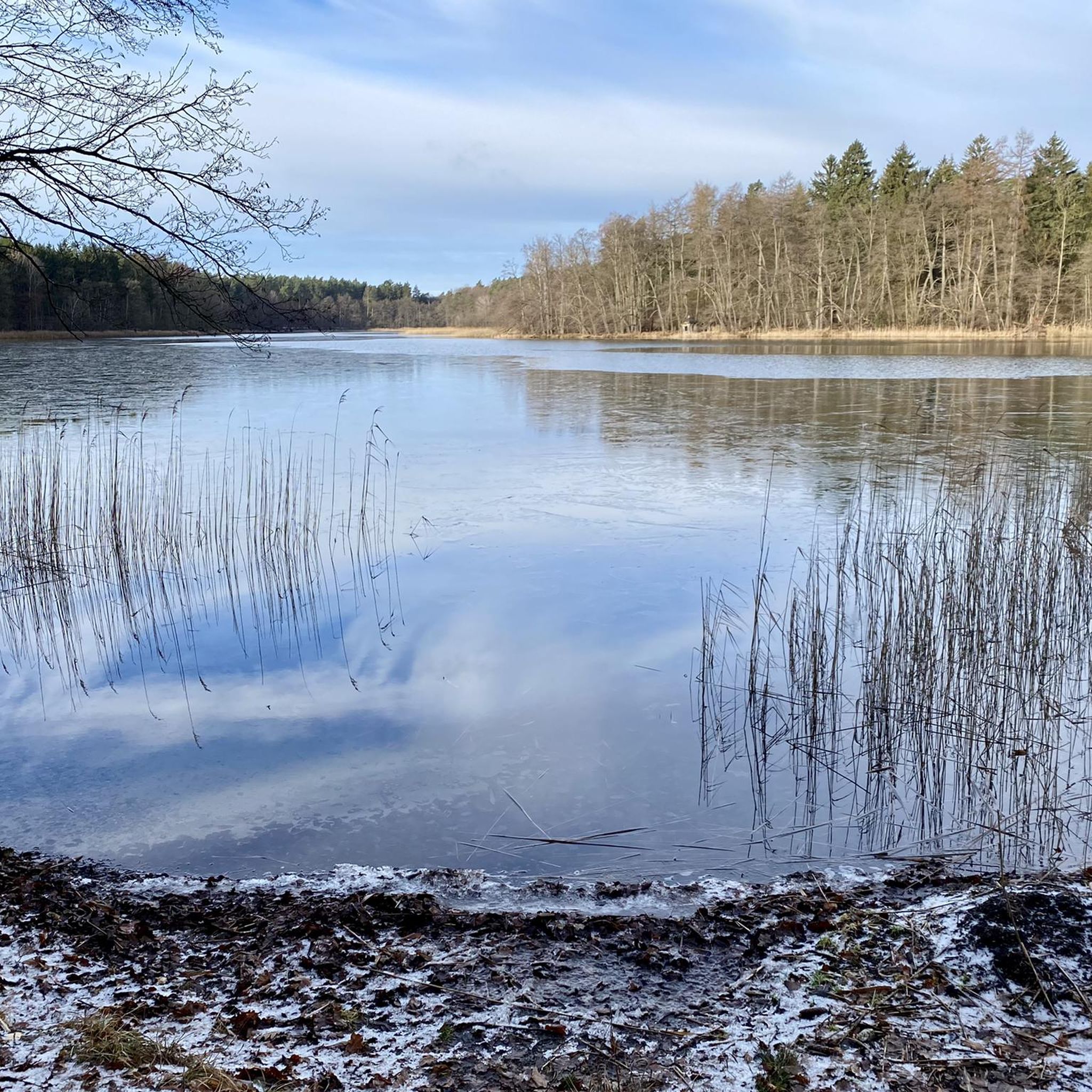
Road cycling routes in Endmoränenlandschaft Ringenwalde traverse a landscape shaped by the Ice Age, featuring wide valleys, undulating moraine hills, and numerous gully lakes. The region, part of the Uckermark, offers a diverse terrain of natural beech forests, heaths, and ancient avenues. Cyclists can find well-maintained cycle paths and smaller country roads, often with low traffic, making it suitable for various preferences. The area is characterized by its water-rich environment, with many routes passing by lakes such as the Oberuckersee.
…Last updated: July 12, 2026
4.3
(3)
34
riders
Moderate road ride. Great for any fitness level. Some segments of this route may be unpaved and difficult to ride.
5.0
(8)
22
riders
Moderate road ride. Good fitness required. Some segments of this route may be unpaved and difficult to ride.

Sign up for free
11
riders
Moderate road ride. Good fitness required. Some segments of this route may be unpaved and difficult to ride.
3
riders
Moderate road ride. Good fitness required. Some segments of this route may be unpaved and difficult to ride.
2
riders
Moderate road ride. Good fitness required. Some segments of this route may be unpaved and difficult to ride.
Get access to more routes and recommendations from other explorers.
Sign up for free
Already have an account?
Our route recommendations are based on thousands of hikes, rides, and runs completed by other people on komoot.
Start today with a free account
Your next adventure awaits.
Login or Signup

Tips from the Community

Perfect if you want to clear your head. It goes up and down and you have things to see everywhere.
0
0

The paved path is also easy to ride on a road bike. It's a nice, undulating route.
2
0


30.05.25: Is everything still closed at the lido?!
0
0


There is also the possibility to spend the night with a tent in the outdoor pool
0
0

Cycle path between Ahlimbsmühle and Gollin next to the L100 country road. Good asphalt
0
0
Always beautiful. Well asphalted route
1
0
Frequently Asked Questions
What kind of terrain can I expect when road cycling in Endmoränenlandschaft Ringenwalde?
The Endmoränenlandschaft Ringenwalde, shaped by the Ice Age, offers a diverse landscape for road cyclists. You'll encounter gently undulating moraine hills, wide valleys, and numerous gully lakes. Routes often traverse extensive natural beech forests, heaths, and ancient avenues, providing varied scenery. While there are some climbs, the region is generally characterized by rolling hills rather than steep mountain ascents.
Are there road cycling routes suitable for beginners or those looking for an easier ride?
Yes, the region offers routes for various ability levels. While most routes are classified as moderate, there is at least one route specifically rated as easy. For example, you can find routes that are shorter and have less elevation gain, allowing for a more relaxed cycling experience. The well-maintained cycle paths and low traffic levels on smaller country roads also contribute to an enjoyable ride for less experienced cyclists.
What are some notable sights or landmarks I can see along the road cycling routes?
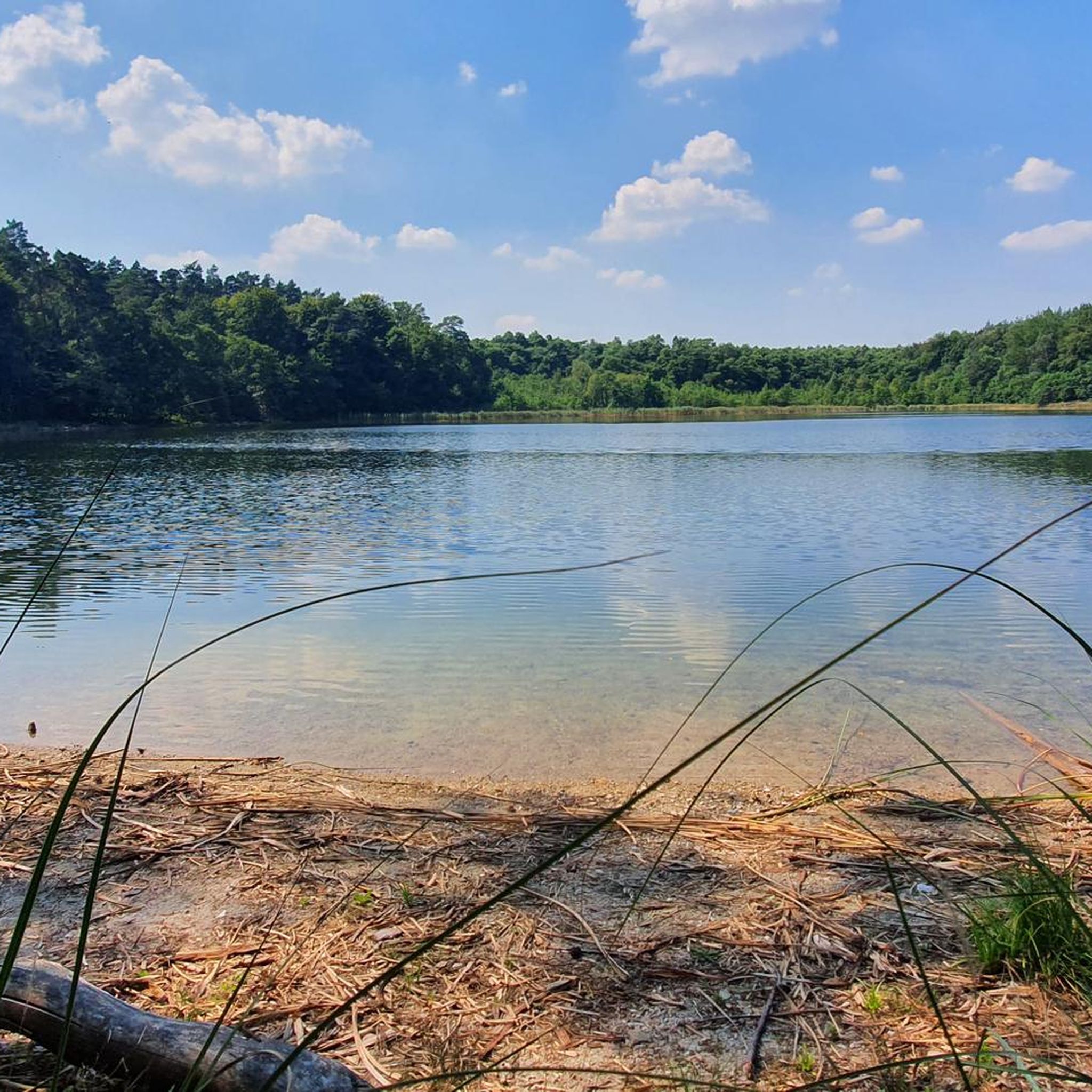
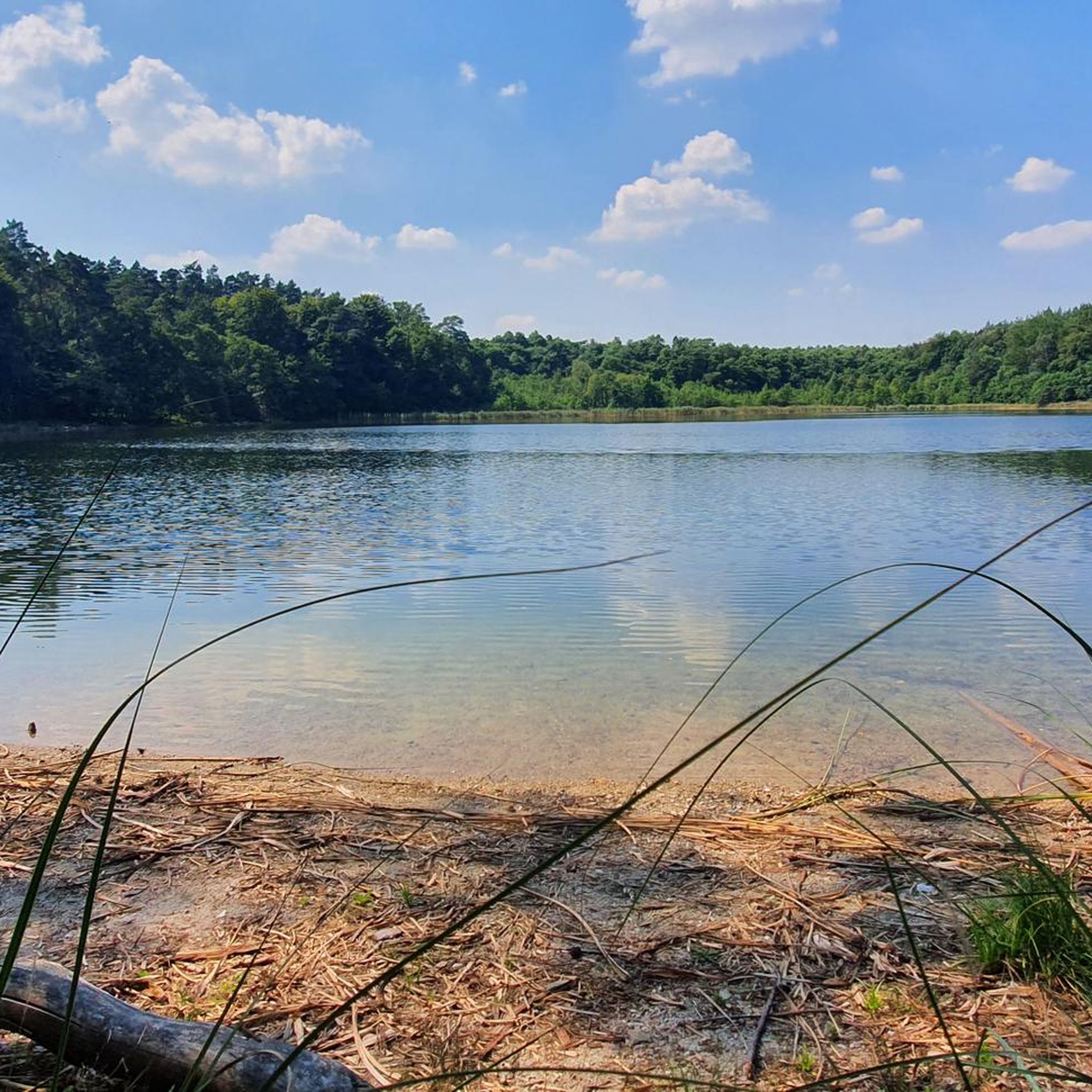
Road cycling routes in Endmoränenlandschaft Ringenwalde often pass by beautiful natural and historical attractions. You can enjoy views of serene lakes like Stabs Lake and the idyllic Oberuckersee. Some routes also lead past swimming spots such as Libbesickesee swimming spot or offer views of Lübbesee Beach. The broader Uckermark region also features historic town centers like Templin and the historic Chorin Monastery within the Schorfheide-Chorin Biosphere Reserve.
When is the best time of year to go road cycling in Endmoränenlandschaft Ringenwalde?
The best seasons for road cycling in Endmoränenlandschaft Ringenwalde are spring and summer. During these months, mild temperatures and blooming nature enhance the outdoor experience. The region's many lakes and forests are particularly inviting, and the weather is generally favorable for longer rides.
Are there any circular road cycling routes available?
Yes, many of the road cycling routes in Endmoränenlandschaft Ringenwalde are designed as loops, allowing you to start and end at the same point. An example is the View of Lübbesee Beach – Tree-Lined Road by Lübbesee loop from Ringenwalde (bei Templin), which is a moderate 45.9 km route. Another option is the Konsum Coffee, Wolletz Café – View of Krummes See loop from Ringenwalde (bei Templin), a 57.5 km loop that passes by local cafes.
What are the typical distances and durations for road cycling routes in this region?
Road cycling routes in Endmoränenlandschaft Ringenwalde vary in length and duration. You can find routes ranging from around 45 km, like the View of Lübbesee Beach – Tree-Lined Road by Lübbesee loop from Ringenwalde (bei Templin) which takes about 1 hour 53 minutes, to longer tours over 100 km, such as the Riverside Cycle Path – Pioneer Bridge, Templin loop from Ringenwalde (bei Templin), which is 104.8 km and takes around 4 hours 20 minutes.
Can I find places to eat or stay overnight along the road cycling routes?
The Endmoränenlandschaft Ringenwalde and the broader Uckermark region offer various options for refreshments and accommodation. Some routes, like the Konsum Coffee, Wolletz Café – View of Krummes See loop from Ringenwalde (bei Templin), are known to pass by local cafes. Charming historic town centers such as Templin, Kremmen, and Angermünde, which are accessible via cycling routes, provide restaurants and accommodation options for cyclists.
How can I get to the Endmoränenlandschaft Ringenwalde area for cycling, and what about parking?
The Endmoränenlandschaft Ringenwalde is accessible, and many starting points for routes offer parking facilities. For those using public transport, the region's network of paths connects to various towns, some of which have train stations. It's advisable to check specific route starting points for detailed parking information or public transport connections.
What do other road cyclists enjoy most about road cycling in Endmoränenlandschaft Ringenwalde?
The area is highly rated by the komoot community, with an average score of 4.7 stars from over 50 reviews. Reviewers often praise the diverse natural features, including wide valleys, undulating moraine hills, and numerous gully lakes. The well-maintained cycle paths and low traffic levels on smaller country roads are also frequently highlighted as contributing to a relaxed and enjoyable cycling experience.
Are there any advanced or challenging road cycling routes in the region?
While most routes are moderate, the Endmoränenlandschaft Ringenwalde does offer options for more challenging rides. These routes typically feature greater distances and more significant elevation gains, requiring good fitness. For example, the Riverside Cycle Path – Pioneer Bridge, Templin loop from Ringenwalde (bei Templin) covers over 100 km with more than 500 meters of elevation gain, providing a more demanding experience.
Is the Endmoränenlandschaft Ringenwalde suitable for family-friendly road cycling?
Yes, the region can be suitable for family-friendly road cycling, especially on its well-maintained cycle paths and quieter country roads. While some routes are moderate, there are easier loops available. The scenic landscape with lakes and forests, combined with low traffic, creates a pleasant environment for families to enjoy cycling together. It's recommended to choose shorter, flatter routes for younger or less experienced family members.
Can I bring my dog on the road cycling routes?
While road cycling routes are generally on paved surfaces and roads, the Endmoränenlandschaft Ringenwalde is a nature-rich area. If your dog is accustomed to running alongside a bike or can be safely carried in a trailer, many routes would be accessible. However, always ensure your dog's safety and comfort, especially on roads, and be mindful of local regulations regarding dogs in nature reserves or specific areas.
Most popular routes in Endmoränenlandschaft Ringenwalde
Most popular attractions in Endmoränenlandschaft Ringenwalde

Get inspired with the komoot mobile app


Explore more
Browse the best Road cycling routes in other regions.
