The best MTB trails in Wittenberge-Rühstädter Elbniederung
4.4
(51)
168
riders
32
rides
Mountain bike trails in Wittenberge-Rühstädter Elbniederung traverse an expansive Elbe River landscape, characterized by floodplains and wide natural riparian zones. The region offers a mix of easy to moderate routes, many with minimal elevation gain, making them accessible for various skill levels. Paths often run along dikes, providing open views of the river and surrounding countryside. This area is part of the UNESCO biosphere reserve "Elbe River Landscape," known for its rich biodiversity.
Best mountain bike trails in Wittenberge-Rühstädter Elbniederung
…Last updated: July 11, 2026
4.9
(10)
29
riders
Moderate mountain bike ride. Good fitness required. Suitable for all skill levels.
4.3
(3)
7
riders
23.8km
01:13
30m
30m
Easy mountain bike ride. Great for any fitness level. Suitable for all skill levels.

Sign up for free
3
riders
19.2km
01:00
30m
30m
Easy mountain bike ride. Great for any fitness level. Suitable for all skill levels.
4.3
(4)
16
riders
Moderate mountain bike ride. Good fitness required. Suitable for all skill levels.
5.0
(5)
18
riders
Moderate mountain bike ride. Good fitness required. Suitable for all skill levels.
Get access to more routes and recommendations from other explorers.
Sign up for free
Already have an account?
Our route recommendations are based on thousands of hikes, rides, and runs completed by other people on komoot.
Start today with a free account
Your next adventure awaits.
Login or Signup
Popular around Wittenberge-Rühstädter Elbniederung
Tips from the Community

The bridge can be used by cyclists and pedestrians. It is open, as of 2026. From here, of course, you have a good view of the Elbe meadows and the city.
0
0
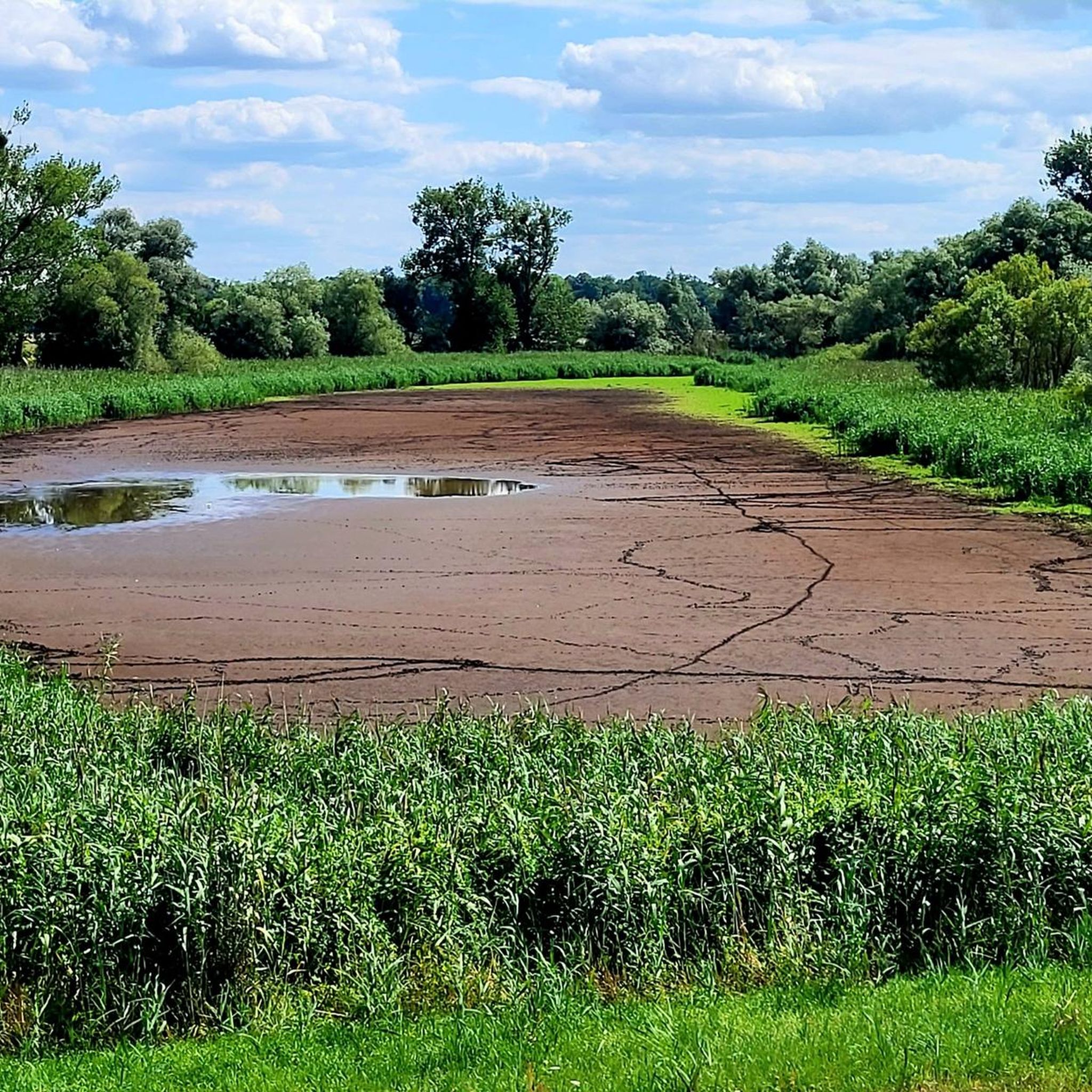
yes, there is a small hut here. You can observe birds well from here.
0
0
Great natural landscape here, where the rivers run parallel for 20km and then merge.
0
0
beautiful bridge over the Havel with a good view of the city's churches.
0
0

The new B189 bridge near Wittenberge is part of the A14 motorway expansion and the dilapidated old bridge to the north (built in 1978, longest GDR road bridge). The new construction, which is scheduled to open to traffic in mid-2026, is part of a major infrastructure project to modernize the Elbe crossing and replace the old structure.
3
0
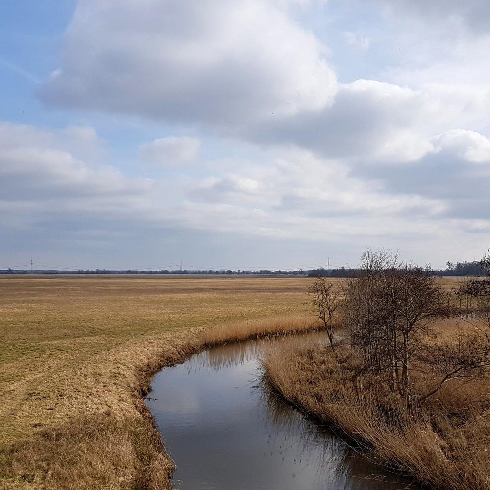
In the Hitzacker-Wittenberge section, nature and history, embedded in the UNESCO Biosphere Reserve "Elbe River Landscape", offer an interesting tour section on the Elbe Cycle Route. The silence between the towns and the colorful wildlife with storks, cranes, beavers, and sheep hint at the primordial nature of the landscape. In spring and autumn, they shape.
3
0

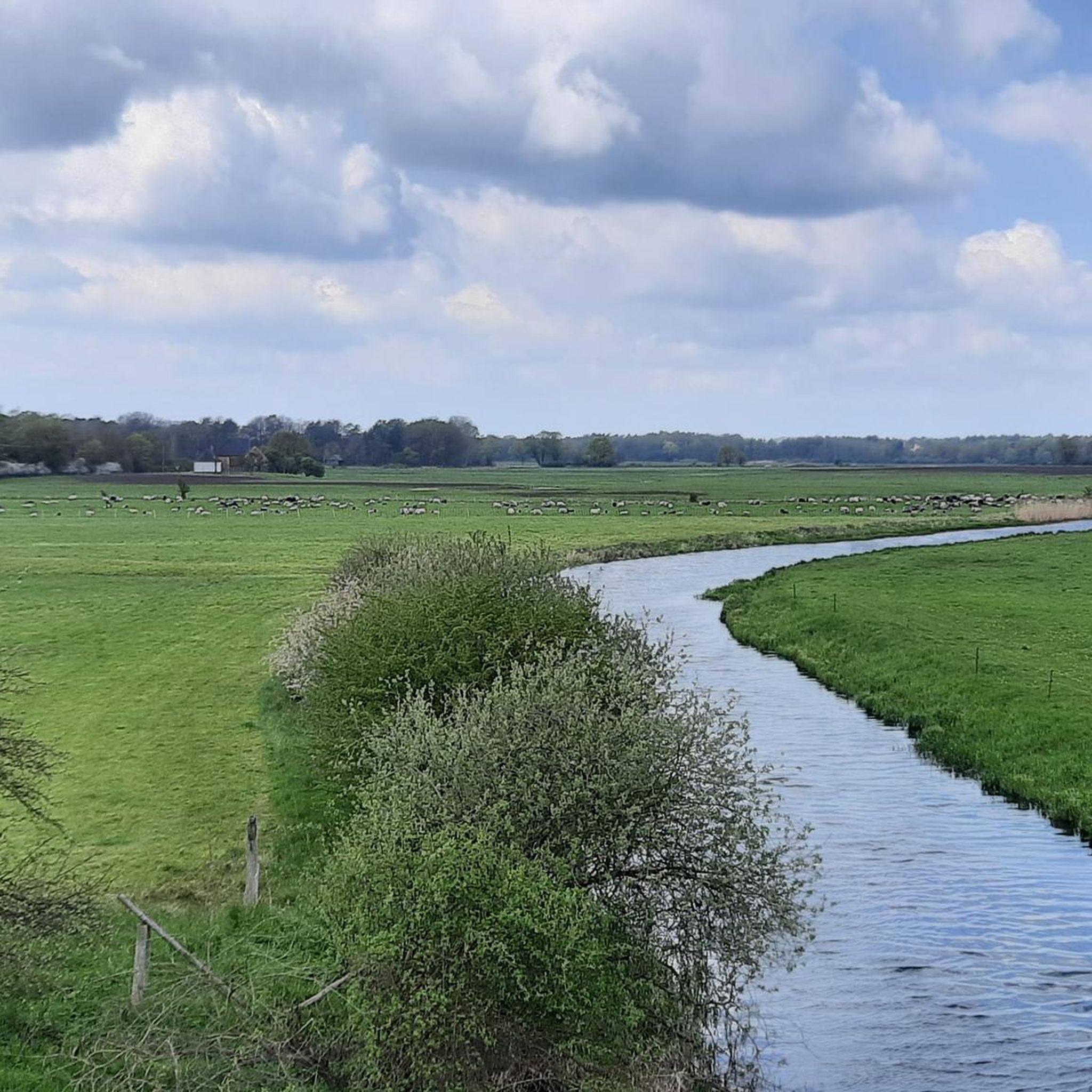
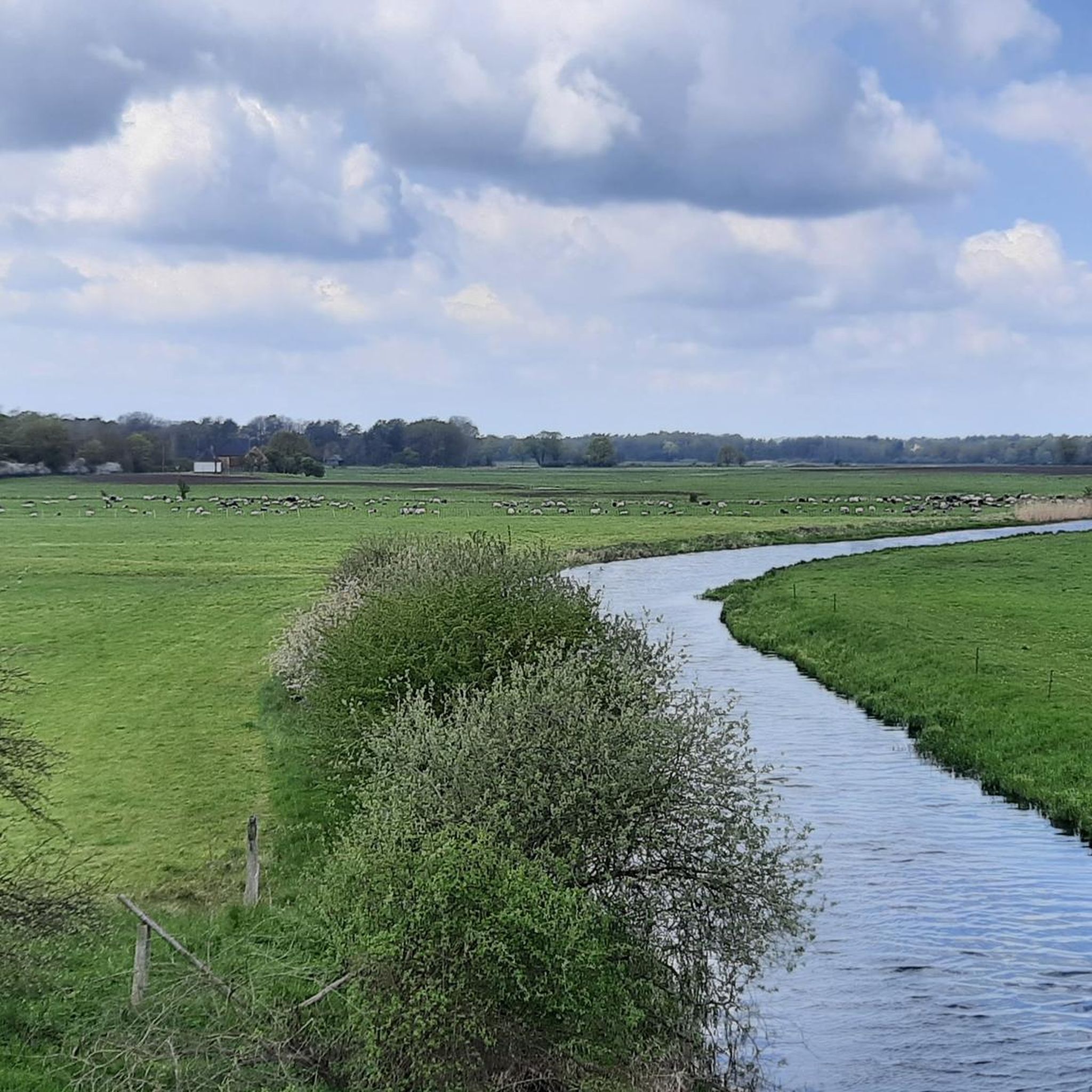
The Gnevsdorf drainage canal near Gnevsdorf is an approximately eleven-kilometer-long, artificially constructed drainage channel that connects the Havel River to the Elbe River and serves as an additional distributary. It was created to shift the backwater effect of the Elbe downstream to a lower level and to relieve pressure on the Lower Havel during floods. In conjunction with the Gnevsdorf weir and the Havelberg lock, the drainage canal regulates the water level, improves the flow of the Havel, and protects the surrounding lowlands. At the same time, the route along the drainage canal serves as an attractive route for cyclists on the Elbe Cycle Path, offering views of the Elbe landscape and opportunities for nature observation.
0
0
The Gnevsdorf drainage canal is an approximately eleven-kilometer-long, artificially constructed canal between the Havel and Elbe rivers, serving as an additional outlet into the Elbe. Its design aimed to shift the Elbe's backwater level downstream to a lower level, thus effectively relieving pressure on the Lower Havel during floods. Simultaneously, the canal improves the flow of Havel water to the Elbe, which has a steeper gradient. The Gnevsdorf drainage canal is part of a comprehensive flood protection system that also includes several weirs and the Havelberg lock.
0
0
Frequently Asked Questions
How many mountain bike trails are there in Wittenberge-Rühstädter Elbniederung?
There are over 30 mountain bike trails available in Wittenberge-Rühstädter Elbniederung, offering a diverse range of experiences for different skill levels.
What are the typical difficulty levels for mountain biking in this region?
The trails in Wittenberge-Rühstädter Elbniederung primarily range from easy to moderate. You'll find 12 easy routes, perfect for a relaxed ride, and 20 moderate routes for those seeking a bit more challenge. There are no difficult trails listed in this guide.
Are there any family-friendly mountain bike trails in Wittenberge-Rühstädter Elbniederung?
Yes, many trails are suitable for families due to the region's generally minimal elevation gain and well-developed cycle paths. An excellent easy option is the Farm café with garden – Havel Confluence With the Elbe loop from Rühstädt, which explores picturesque riverine environments over 14.8 miles (23.8 km).
What natural features can I expect to see while mountain biking here?
The region is defined by the expansive Elbe River landscape, featuring floodplains and wide natural riparian zones. Many paths run along dikes, offering uninterrupted views of the river and surrounding countryside. You can also experience the significant confluence of the Havel and Elbe rivers. The area is part of the UNESCO biosphere reserve "Elbe River Landscape," known for its rich biodiversity, including various birds like white-tailed eagles and storks.
Are there any notable landmarks or attractions along the mountain bike routes?
Yes, you can encounter several interesting points. The Confluence of the Gnevsdorfer Vorfluter and the Elbe is a significant natural feature. The Bridge Over the Karthane offers great photo opportunities and birdwatching. The town of Wittenberge itself has historical significance, with structures like the "Alte Ölmühle Wittenberge" (Old Oil Mill) and the iconic Clock Tower of the former Singer sewing machine factory.
What do other mountain bikers enjoy most about the trails in Wittenberge-Rühstädter Elbniederung?
The area is highly rated by the komoot community, with an average score of 4.5 stars from over 45 reviews. Reviewers often praise the expansive river landscape, the well-developed cycle routes, and the unique natural environment, especially the views from atop the dikes.
Are there mountain bike routes that form a loop?
Yes, many of the mountain bike trails in the region are designed as loops. For example, the Hinzdorf Farm Café – Stepenitz Bridge loop from Wittenberge is an 11.9-mile (19.2 km) route that takes you through the river landscape.
Is it possible to bring dogs on the mountain bike trails?
While specific regulations can vary, many of the natural paths and dikes in the Wittenberge-Rühstädter Elbniederung are generally dog-friendly. However, it's always recommended to keep dogs on a leash, especially in nature reserve areas, to protect local wildlife and ensure a pleasant experience for all users.
What is the best time of year to go mountain biking in Wittenberge-Rühstädter Elbniederung?
The spring and autumn months are generally ideal for mountain biking in this region. The weather is typically milder, and the natural landscape, especially the floodplains and riparian zones, is particularly vibrant. Summer can also be pleasant, but be prepared for warmer temperatures and potentially more insects near the water.
Are there any cafes or places to stop for refreshments along the routes?
Yes, the region offers options for refreshments. The Farm café with garden – Havel Confluence With the Elbe loop from Rühstädt and the Hinzdorf Farm Café – Stepenitz Bridge loop from Wittenberge both indicate cafes as part of their routes, suggesting opportunities for a break. Additionally, the Picnic Area by the Elbe at Rühstädt Stork Village is a good spot for a self-catered break.
Are there any longer mountain bike routes for experienced riders?
For those looking for a longer ride, the Former Cumlosen Border Tower – View of the River loop from Wittenberge is a moderate 67.3-mile (108.3 km) route. It offers an extensive exploration of the Elbe River landscape and takes approximately 4 hours to complete.
How accessible are the mountain bike trails by public transport or car parking?
Wittenberge is a regional hub with train connections, making some routes accessible by public transport. Many trailheads, especially those starting from towns like Wittenberge or Rühstädt, typically offer parking facilities. It's advisable to check specific starting points for detailed parking information.
Most popular routes in Wittenberge-Rühstädter Elbniederung
Most popular attractions in Wittenberge-Rühstädter Elbniederung

Get inspired with the komoot mobile app


Explore more
Browse the best MTB trails in other regions.
