The best running trails in Lüchower Landgrabenniederung
4.3
(57)
806
runners
75
runs
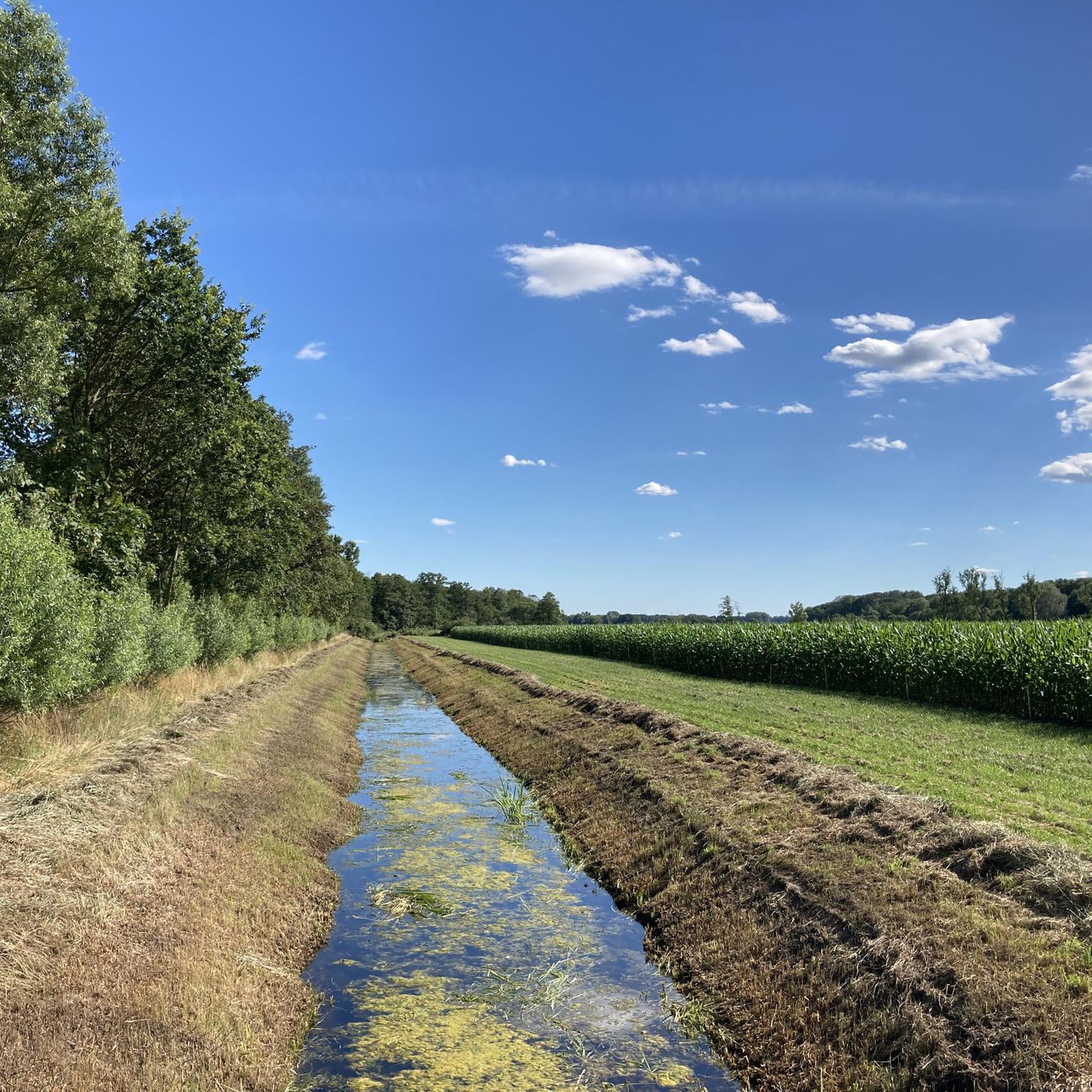
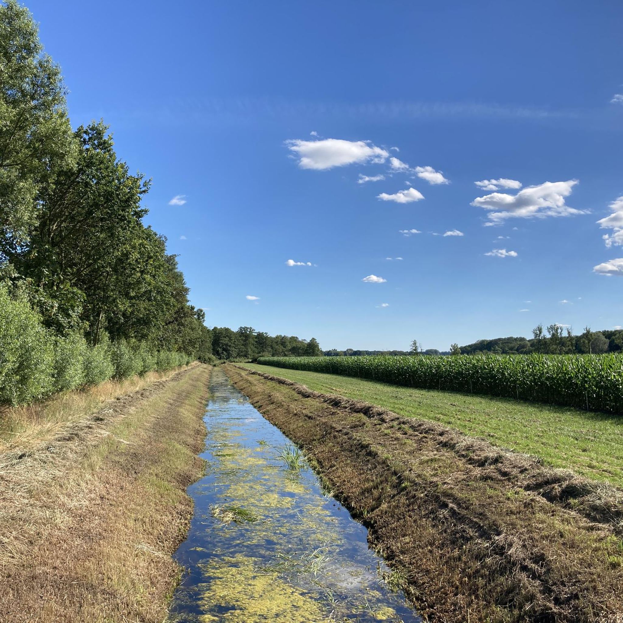
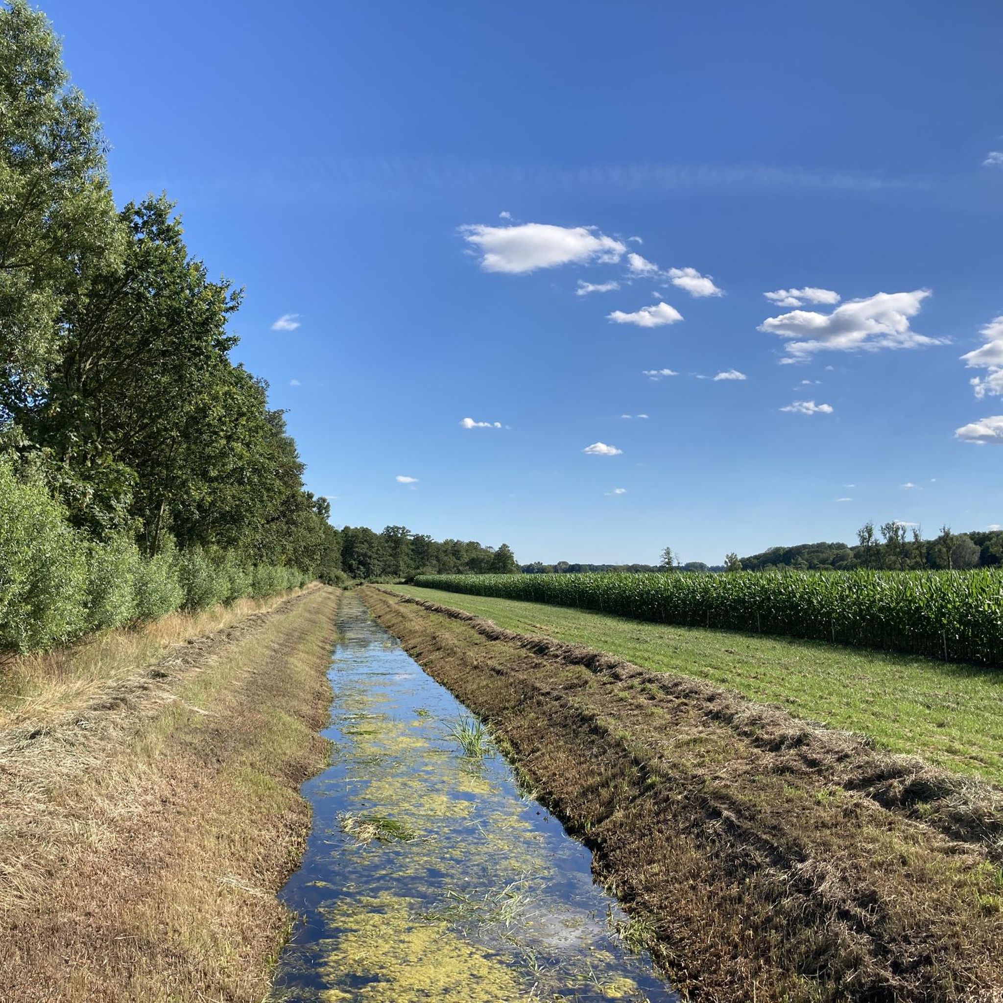
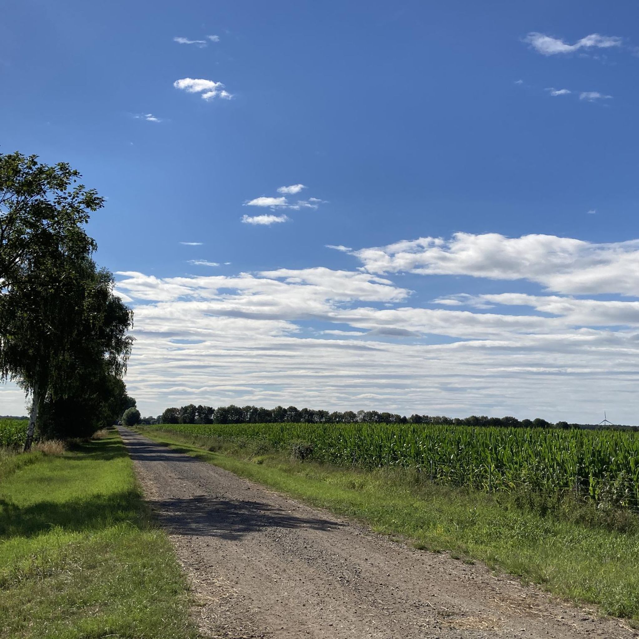
Jogging in Lüchower Landgrabenniederung offers routes through a partially drained lowland area, largely protected as a nature reserve. The landscape features a mosaic of natural forests, including birch-oak and oak-hornbeam stands, alongside agricultural land and wetlands such as reed beds and sedge meadows. Runners can explore paths that trace the historical "Green Belt," the former inner-German border, providing a unique blend of natural beauty and historical reflection. The terrain generally offers minimal elevation changes, making it suitable for a comfortable…
Last updated: July 11, 2026
4
runners
Moderate run. Good fitness required. Mostly paved surfaces. Suitable for all skill levels.
4.0
(1)
5
runners
6.94km
00:43
10m
10m
Moderate run. Good fitness required. Mostly paved surfaces. Suitable for all skill levels.

Sign up for free
3
runners
9.93km
01:03
20m
20m
Moderate run. Good fitness required. Mostly paved surfaces. Suitable for all skill levels.
21
runners
8.36km
00:52
20m
20m
Moderate run. Good fitness required. Mostly paved surfaces. Suitable for all skill levels.
9
runners
10.4km
01:04
10m
10m
Moderate run. Good fitness required. Mostly paved surfaces. Suitable for all skill levels.
Get access to more routes and recommendations from other explorers.
Sign up for free
Already have an account?
Our route recommendations are based on thousands of hikes, rides, and runs completed by other people on komoot.
Start today with a free account
Your next adventure awaits.
Login or Signup
Popular around Lüchower Landgrabenniederung
Frequently Asked Questions
How many running routes are available in Lüchower Landgrabenniederung?
The Lüchower Landgrabenniederung offers a wide selection of running routes, with over 80 trails documented on komoot. These range from easy strolls to more challenging runs, ensuring options for all fitness levels.
What kind of terrain can I expect on the jogging paths in Lüchower Landgrabenniederung?
The terrain in Lüchower Landgrabenniederung is generally flat with minimal elevation changes, making it ideal for comfortable jogging. You'll encounter a mosaic of natural forests, agricultural land, and wetlands. While some former DDR-era patrol roads (Kolonnenwege) can be uneven, alternative paths often run alongside them, offering smoother surfaces.
Are there any historical landmarks or points of interest along the running trails?
Yes, the region is rich in history. Many paths trace the historical "Green Belt," the former inner-German border. You can encounter former DDR border posts and informational plaques. Notable historical sites include the Former Inner German Border – Green Belt and DDR Border Post 368, offering a unique blend of natural beauty and historical reflection.
Are the running routes in Lüchower Landgrabenniederung suitable for beginners?
Absolutely. With 14 easy routes available, the Lüchower Landgrabenniederung is very welcoming for beginners. The generally flat terrain and diverse natural settings provide a pleasant introduction to outdoor running. Consider an easy route like the Running loop from Bösel for a gentle start.
Can I bring my dog on the jogging trails?
The Lüchower Landgrabenniederung is a nature reserve and an EU bird sanctuary, so it's important to respect local wildlife. While many trails are generally dog-friendly, it's crucial to keep your dog on a leash, especially in protected areas, to prevent disturbance to ground-nesting birds and other animals. Always check local signage for specific rules.
Are there any circular running routes in the area?
Yes, many of the running routes in Lüchower Landgrabenniederung are designed as circular loops, offering convenient starting and ending points. For example, the Running loop from Saaße is a popular circular option that allows you to experience the diverse landscape without retracing your steps.
What do other runners say about the trails in Lüchower Landgrabenniederung?
The running trails in Lüchower Landgrabenniederung are highly regarded by the komoot community, with an average rating of 4.4 stars from over 50 reviews. Runners often praise the varied scenery, the historical context of the Green Belt, and the peaceful, natural environment perfect for a refreshing run.
Is public transport available to access the running routes?
While specific public transport connections directly to every trailhead might be limited, the region is generally accessible. It's advisable to check local bus schedules to nearby towns or villages like Lüchow (Wendland) or Dangenstorf, and then plan your route from there. Many routes are designed to start from accessible points within the region.
Where can I find parking for the jogging trails?
Parking is typically available near the starting points of many popular routes, especially in or near the villages that border the nature reserve. Look for designated parking areas in places like Lüchower Landgrabenniederung itself or Dangenstorf, which serve as common access points for the trails.
What are the best times of year to go running in Lüchower Landgrabenniederung?
The Lüchower Landgrabenniederung offers a beautiful running experience throughout much of the year. Spring and autumn provide pleasant temperatures and vibrant scenery. Summer is also great, but be mindful of warmer temperatures. In winter, the landscape can be serene, but some paths might be muddy or icy, especially in the wetland areas.
Are there any longer running routes for experienced runners?
Yes, for those looking for a longer challenge, there are several extended running routes. For instance, the Running loop from Lüchower Landgrabenniederung offers a moderate 10.3 km (6.4 miles) path, providing an extended experience through the diverse natural and historical landscapes of the region.
What kind of wildlife might I see while jogging?
As a nature reserve and EU bird sanctuary, the Lüchower Landgrabenniederung is home to diverse wildlife. Joggers might spot various bird species, especially in the reed beds and sedge meadows. Keep an eye out for deer and other small mammals in the forest areas. Remember to observe from a distance and avoid disturbing the animals.
Most popular routes in Lüchower Landgrabenniederung
Most popular attractions in Lüchower Landgrabenniederung

Get inspired with the komoot mobile app


Explore more
Browse the best Running Trails & Routes in other regions.
