The best walks and hikes in Lüchower Landgrabenniederung
4.6
(910)
2,913
hikers
156
hikes
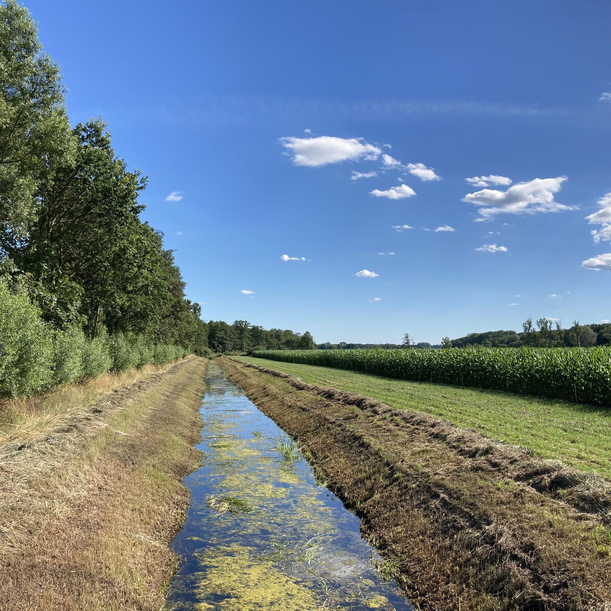
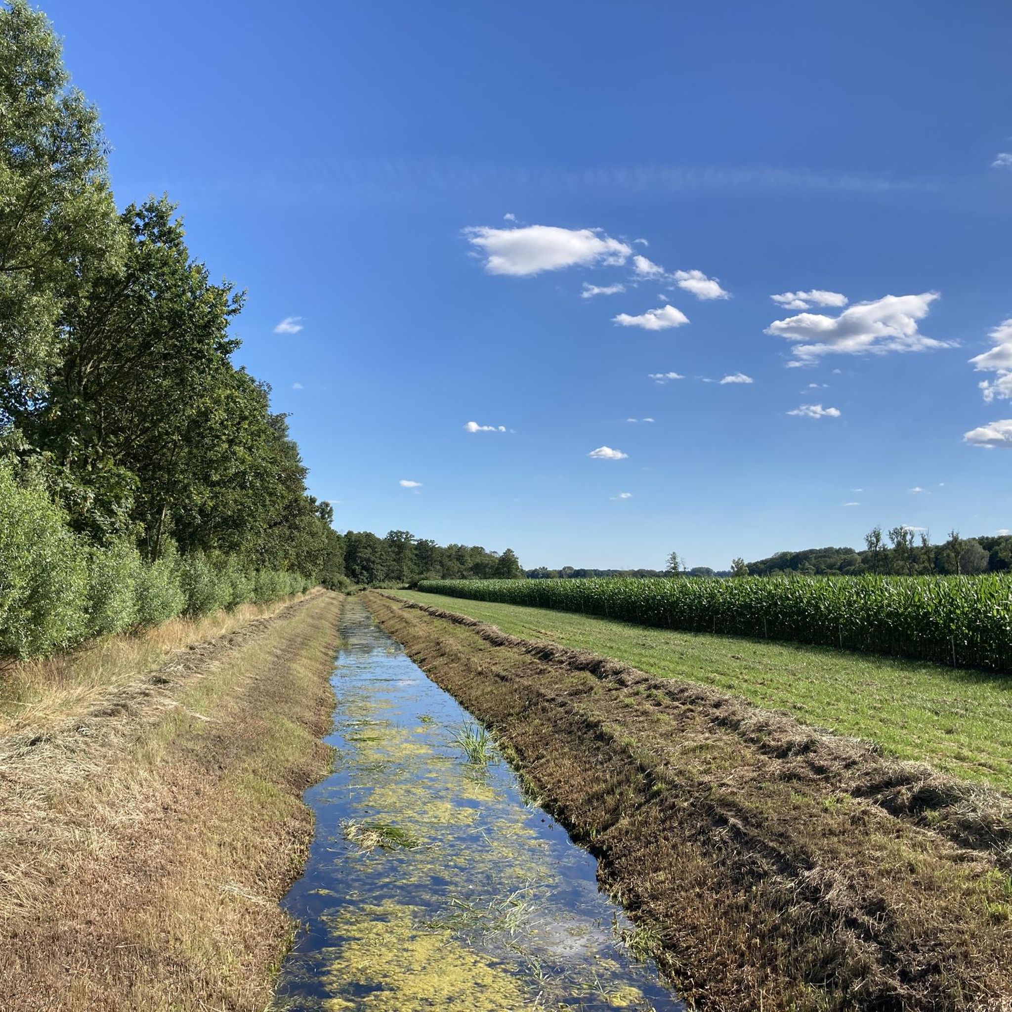
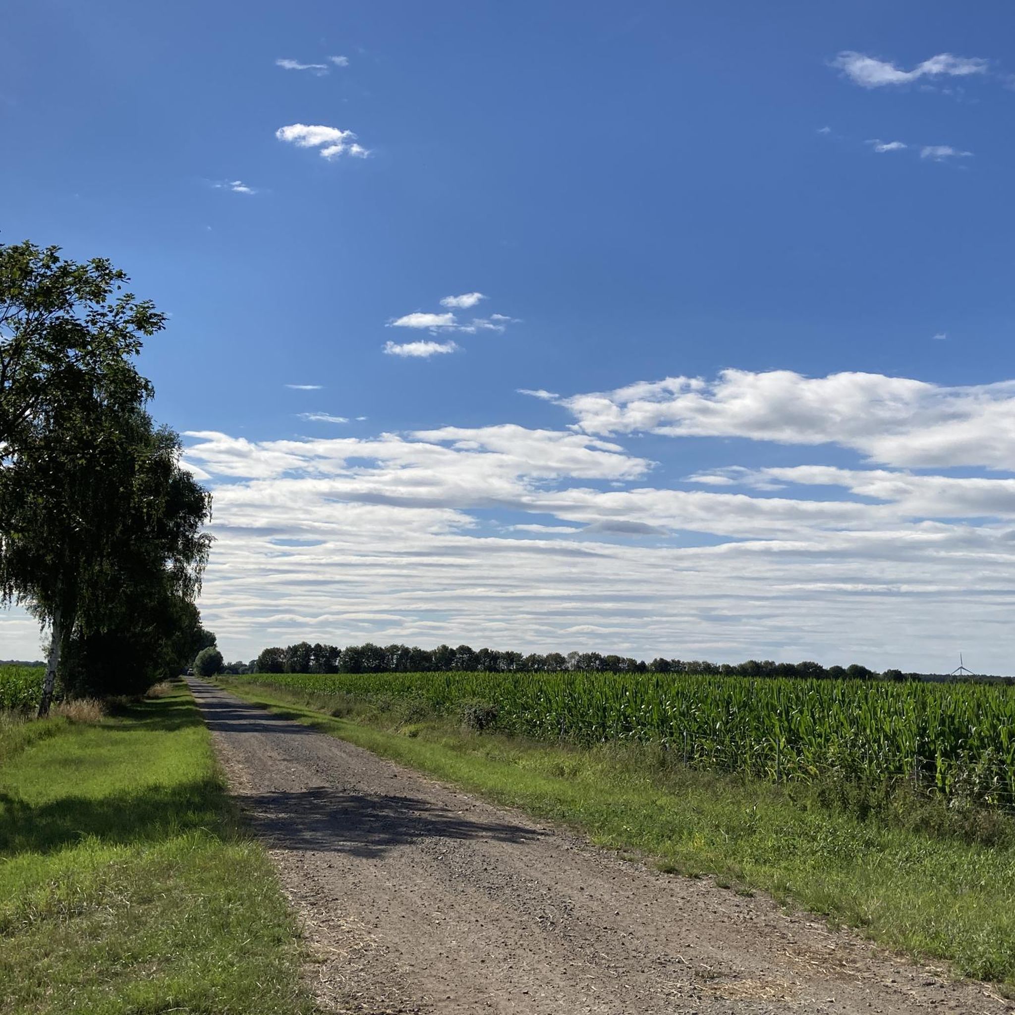
Hiking trails in Lüchower Landgrabenniederung traverse a partially drained lowland area, recognized for its ecological significance as a nature reserve and part of the Naturpark Wendland.Elbe. The terrain features diverse forest types, including near-natural forests on wet ground, birch-oak, and oak-hornbeam forests. Wetlands, reeds, sedge meadows, and meadow ponds characterize the landscape, alongside structured agricultural land with grasslands and fields. The elevation changes are minimal, with routes generally remaining below 20 meters of ascent.
Best hiking trails in Lüchower Landgrabenniederung
…Last updated: October 14, 2026
5.0
(4)
9
hikers
Moderate hike. Good fitness required. Easily-accessible paths. Suitable for all skill levels.
5.0
(2)
5
hikers
Easy hike. Great for any fitness level. Easily-accessible paths. Suitable for all skill levels.

5.0
(1)
6
hikers
Moderate hike. Good fitness required. Easily-accessible paths. Suitable for all skill levels.
5.0
(1)
2
hikers
Easy hike. Great for any fitness level. Easily-accessible paths. Suitable for all skill levels.
3
hikers
Moderate hike. Good fitness required. Easily-accessible paths. Suitable for all skill levels.
Get access to more routes and recommendations from other explorers.
Already have an account?
Our route recommendations are based on thousands of hikes, rides, and runs completed by other people on komoot.
Start today with a free account
Your next adventure awaits.
Tips from the Community

Best preserved and accessible. The ladders are firm and stable. The arduous path there is worth it.
0
0

BT-9 of the GDR border guards. The observation tower is always a few meters away from the patrol road.
0
0
one of many political wastelands that the GDR regime left behind, ..about how everything was better before
0
0

Fieldstone church from the 14th century. East gable with blind niches in brick construction. Neo-Gothic west tower.
0
0

With the Grenzwandler app, your smartphone becomes a travel guide and provides information and interviews with contemporary witnesses about the village: https://www.grenzwandler.app/install
0
0
The Grenzwandler app turns your smartphone into a travel guide, offering information and interviews with contemporary witnesses about the village's history. https://www.grenzwandler.app/install
0
1

On the way along the green belt stands this tower from the times of division
3
0
There are many renovated half-timbered houses
1
0
Frequently Asked Questions
How many hiking trails are available in Lüchower Landgrabenniederung?
There are over 170 hiking routes available in Lüchower Landgrabenniederung, offering a wide range of options for exploring the diverse landscapes of this nature reserve.
What is the typical terrain like for hiking in Lüchower Landgrabenniederung?
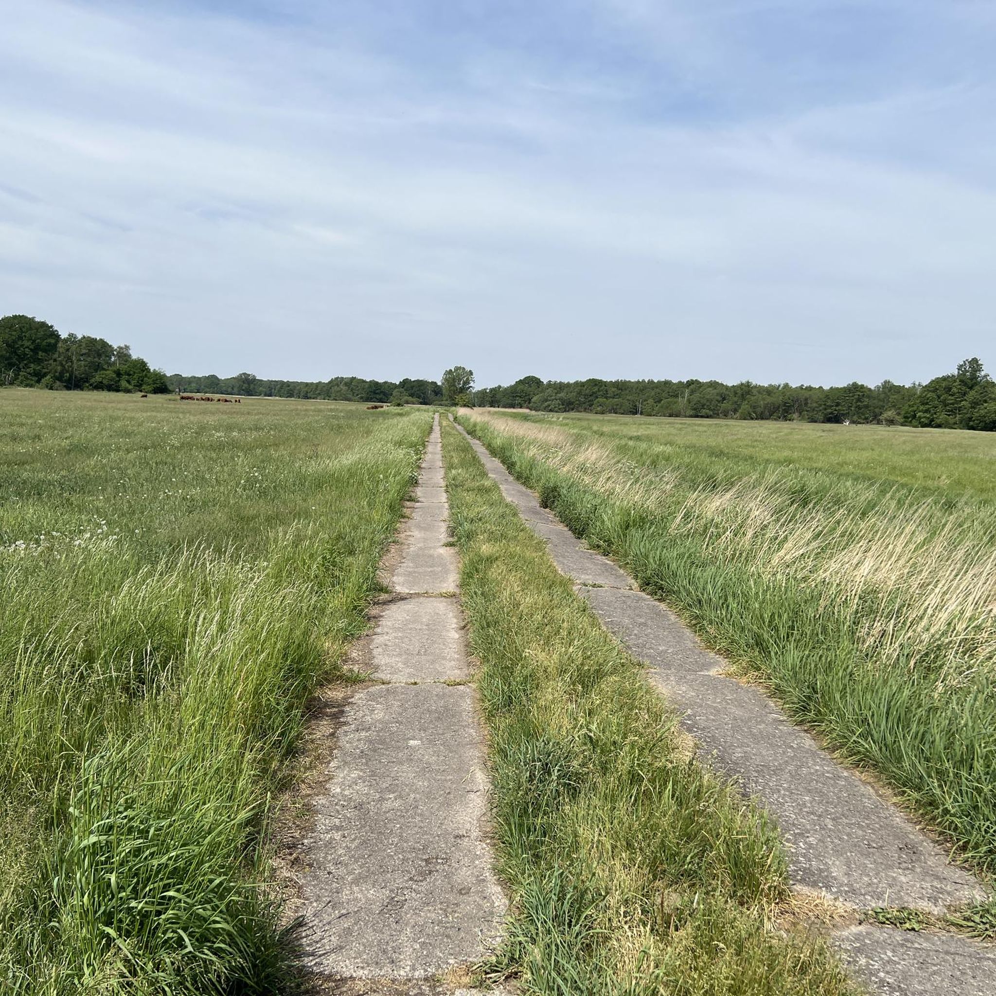
The terrain in Lüchower Landgrabenniederung is characterized by its lowland nature, featuring diverse forest types, wetlands, and agricultural areas. You'll find near-natural forests, birch-oak, and oak-hornbeam forests, alongside reeds, sedge meadows, and meadow ponds. Many trails utilize paved farm roads, and elevation changes are minimal, generally staying below 20 meters of ascent, making for a tranquil hiking experience.
What makes hiking in Lüchower Landgrabenniederung unique?
Hiking in Lüchower Landgrabenniederung offers a unique blend of ecological significance and historical context. As a nature reserve and part of the Naturpark Wendland.Elbe, it boasts diverse ecosystems, including untouched natural forest reserves. The area also features historical border landmarks, providing a glimpse into its past, all within a very quiet and tranquil atmosphere.
What do other hikers enjoy most about the trails here?
The trails in Lüchower Landgrabenniederung are highly rated by the komoot community, with an average score of 4.5 stars from over 800 reviews. Hikers often praise the tranquil atmosphere, the diverse natural scenery including forests and wetlands, and the well-maintained paths that make for enjoyable walks.
Are there easy hiking options suitable for beginners in Lüchower Landgrabenniederung?
Yes, Lüchower Landgrabenniederung offers plenty of easy hiking options. Out of the 170 available routes, 116 are categorized as easy, making them suitable for beginners or those looking for a relaxed walk. An example of an easy route is the Abandoned Village of Jahrsau – DDR Border Post 368 loop from Lüchower Landgrabenniederung, which is about 3.7 miles (5.9 km) long.
Are the hiking trails in Lüchower Landgrabenniederung generally accessible?
Many of the trails in Lüchower Landgrabenniederung are quite accessible, featuring paved farm roads and minimal elevation changes. This makes them suitable for a wide range of hikers, though specific trail conditions can vary. It's always a good idea to check individual route details on komoot for the most current information.
Are there any family-friendly hiking routes in Lüchower Landgrabenniederung?
Given the area's generally flat terrain and numerous easy routes, many trails in Lüchower Landgrabenniederung are suitable for families. The tranquil environment and diverse natural features, like meadow ponds and varied forests, offer engaging experiences for children. Look for the 'easy' rated trails on komoot for the best family options.
Can I bring my dog on the hiking trails in Lüchower Landgrabenniederung?
Yes, dogs are generally welcome on the hiking trails in Lüchower Landgrabenniederung. As it is a nature reserve, it's important to keep your dog on a leash to protect wildlife and ensure a pleasant experience for all visitors. Always remember to clean up after your pet.
What natural features or landmarks can I see along the hiking trails?
Along the hiking trails in Lüchower Landgrabenniederung, you can explore diverse natural features such as near-natural forests, wetlands, reeds, sedge meadows, and meadow ponds. The area also holds historical significance with landmarks like the Former Inner German Border – Green Belt, DDR Border Post 368, and the site of the Deserted village of Jahrsau.
Are there any circular hiking routes available?
Yes, many of the hiking routes in Lüchower Landgrabenniederung are designed as circular loops, allowing you to start and end at the same point. An example is the DDR Border Post 368 – St. Petri Chapel Volzendorf loop from Lüchower Landgrabenniederung, which offers a convenient way to explore the area.
What is the best time of year to go hiking in Lüchower Landgrabenniederung?
Lüchower Landgrabenniederung can be enjoyed year-round, but spring and autumn are particularly pleasant for hiking. In spring, the wetlands and forests come alive with new growth, while autumn offers beautiful foliage. Summer provides warm weather for longer excursions, and even winter can be scenic, especially after a fresh snowfall, though some paths might be muddy or icy.
Are there any historical sites to explore while hiking?
Yes, the region is rich in history, particularly related to the former Inner German Border. You can visit sites like the Former Inner German Border – Green Belt, DDR Border Post 368, and the Deserted village of Jahrsau. These sites offer a unique historical perspective alongside the natural beauty of the landscape.
Most popular routes in Lüchower Landgrabenniederung
Most popular attractions in Lüchower Landgrabenniederung

Get inspired with the komoot mobile app


Explore more
Browse the best Hikes in other regions.
