The best road cycling routes around Hochneukirchen-Gschaidt
4.4
(93)
2,431
riders
172
rides
Road cycling routes around Hochneukirchen-Gschaidt are set within the hilly landscape of the Bucklige Welt, offering diverse terrain between 500 and 900 meters above sea level. The region features a mix of lush green fields and varied coniferous and mixed forests, providing both flat sections and significant elevation gains. This topographical variety ensures mostly paved surfaces suitable for road cycling, with extensive panoramic views across the surrounding areas.
Best road cycling routes around Hochneukirchen-Gschaidt
- The most popular road cycling route…
Last updated: July 10, 2026
5.0
(1)
26
riders
Moderate road ride. Good fitness required. Some segments of this route may be unpaved and difficult to ride.
5.0
(1)
14
riders
Moderate road ride. Good fitness required. Mostly well-paved surfaces and easy to ride.

Sign up for free
5.0
(1)
8
riders
88.6km
04:23
1,340m
1,340m
Hard road ride. Very good fitness required. Mostly well-paved surfaces and easy to ride.
12
riders
Moderate road ride. Good fitness required. Mostly well-paved surfaces and easy to ride.
4.5
(2)
11
riders
55.1km
03:02
1,080m
1,080m
Hard road ride. Very good fitness required. Mostly well-paved surfaces and easy to ride.
Get access to more routes and recommendations from other explorers.
Sign up for free
Already have an account?
Our route recommendations are based on thousands of hikes, rides, and runs completed by other people on komoot.
Start today with a free account
Your next adventure awaits.
Login or Signup
Popular around Hochneukirchen-Gschaidt

Viennese Alpenbogen – Lower Austria's most beautiful peaks
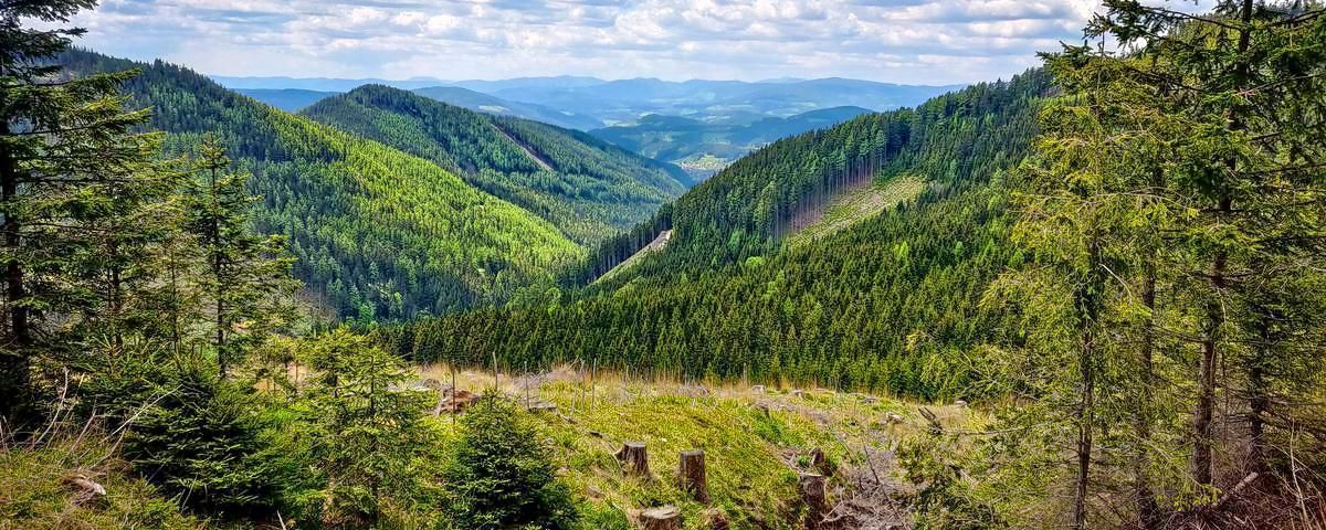
Alpannonia – Crossing borders from Austria to Hungary
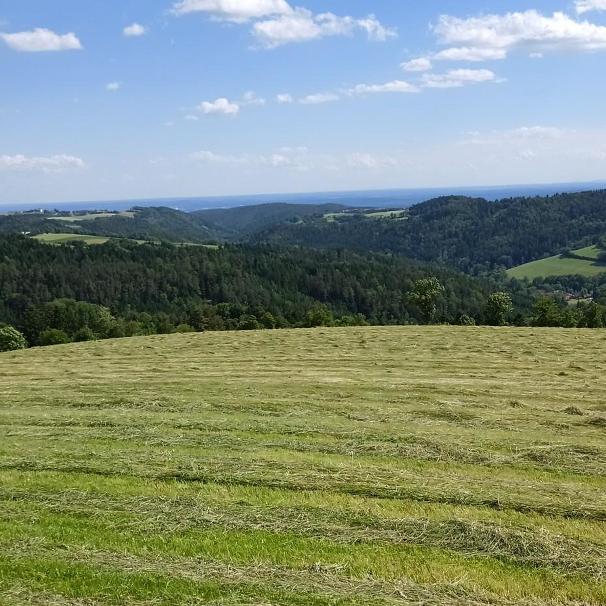
Hiking around Hochneukirchen-Gschaidt
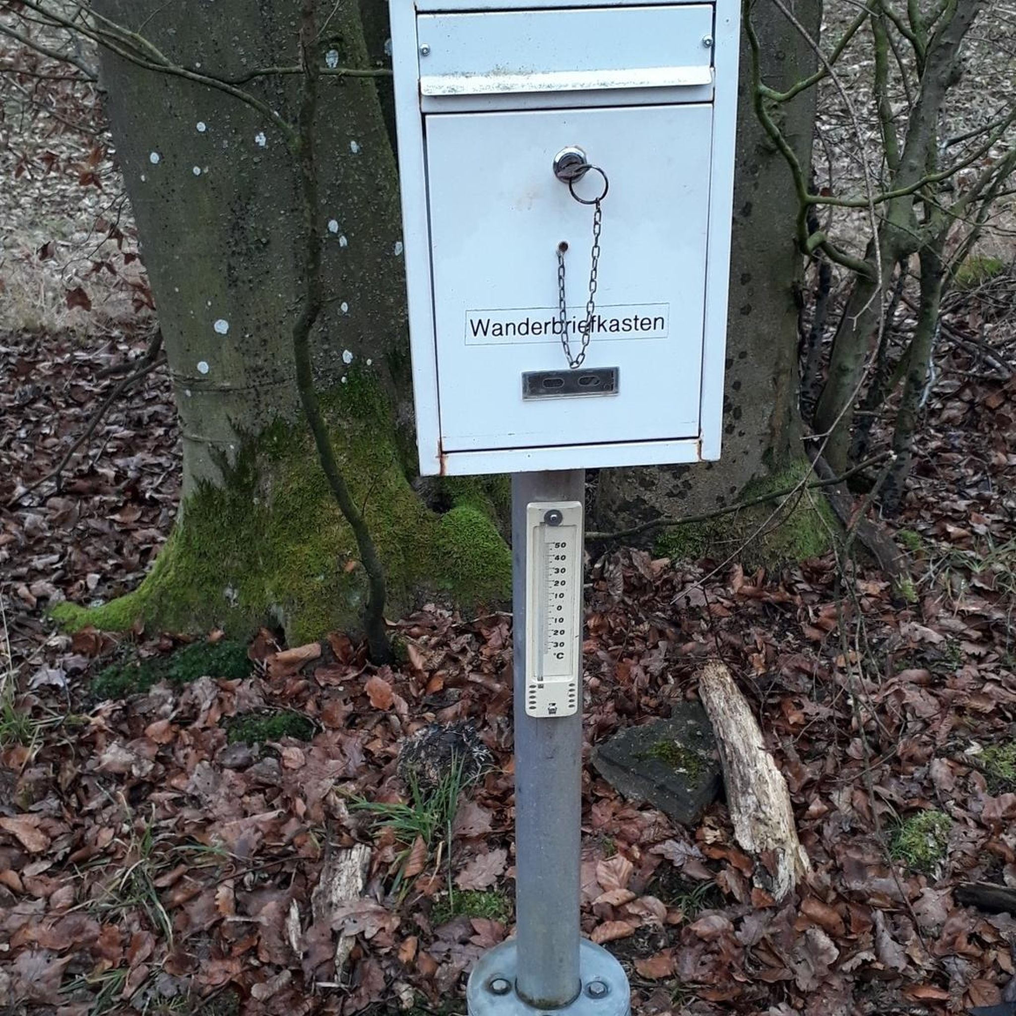
Gravel biking around Hochneukirchen-Gschaidt
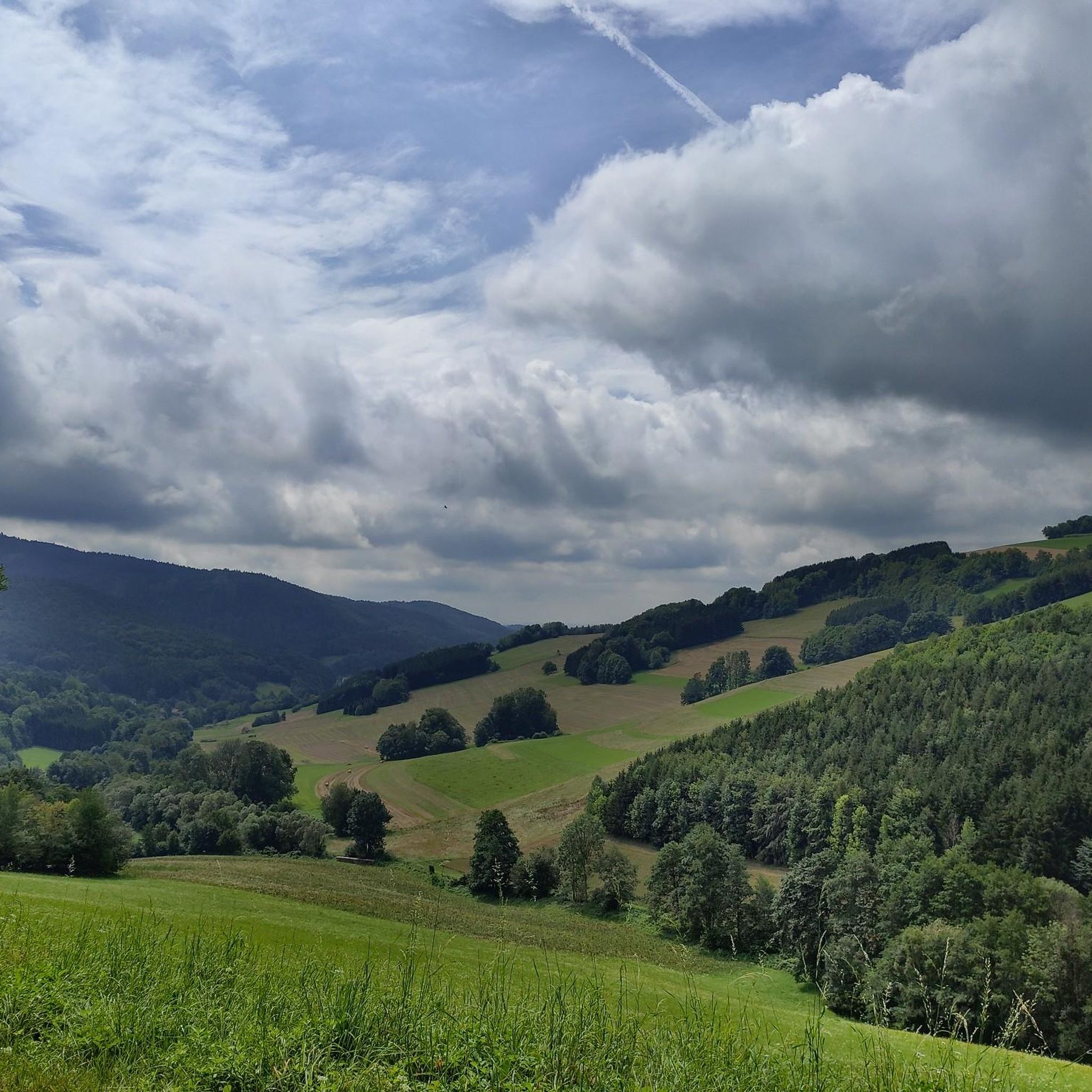
Running Trails around Hochneukirchen-Gschaidt
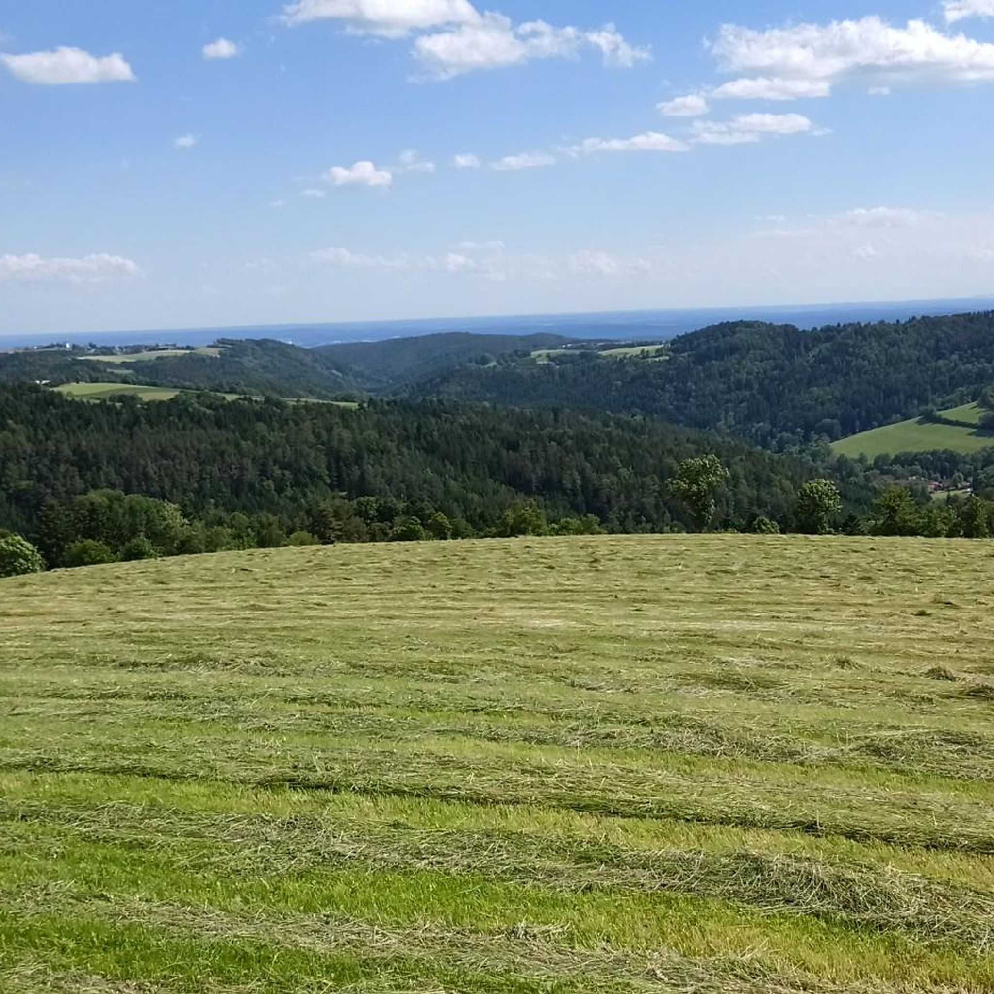
Cycling around Hochneukirchen-Gschaidt
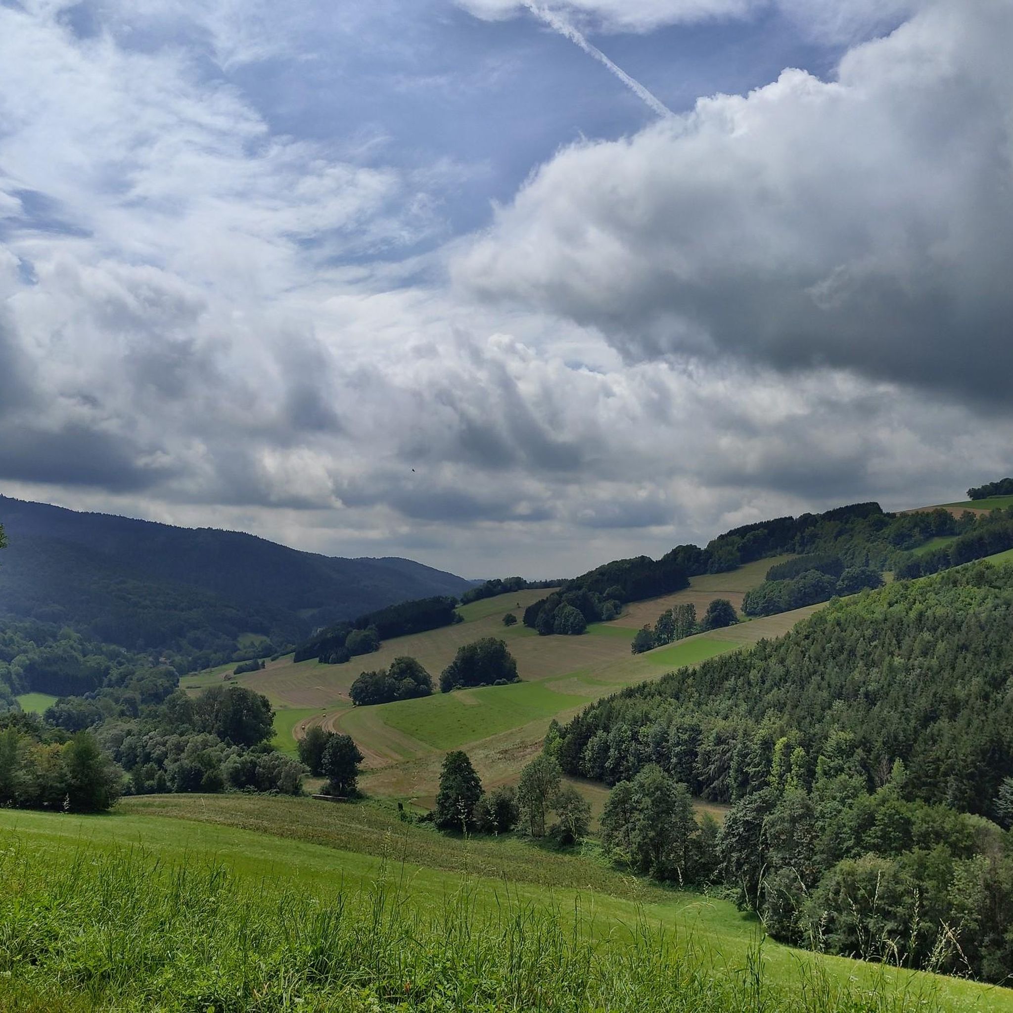
MTB Trails around Hochneukirchen-Gschaidt
Other adventures around Hochneukirchen-Gschaidt


Tips from the Community

We were wondering what to do with this platform during our hike... "Ah, a viewpoint" - we only realized that when we were inside here 😅 Oh well, we'll catch up on the view (which is surely beautiful). In any case, you'll also find a bench to rest here and a drinks machine.
0
0
I hiked past here and absolutely had to stop in. I couldn't just walk past the sign "The best coffee in Burgenland". It had to be tested. And lo and behold, it tasted good. And of course, I wanted to know more. The owner of the hotel actually roasts the beans himself. And you can taste it. But... just try it yourself :)
0
0

The present-day parish area initially belonged to the parish of Bromberg, from 1200 to Edlitz, and from 1250 to Krumbach, before becoming its own parish around 1320. However, as early as around 1120, the first church building in the Romanesque style was erected on the present site. The structure also served as the first part of a three-part defensive system, which consisted of the fortified house (the present-day rectory), an upstream farmstead to the north, and a rampart system. In 1320, additions were made (chancel and choir chapel, today the sacristy) in the early Gothic style. In the 15th century, the defensive capabilities of the church were further enhanced by the construction of a defensive wall around the cemetery surrounding the church, and a "Pechnase" (a defensive projection). Furthermore, a defensive storey was built above the nave, possibly with large parts of the nave itself being rebuilt. A well is also located inside the church.
0
0
A main square of the prettier kind. Have been here several times. In addition to the sights, some gastronomic establishments also invite you to stop by. Especially worth a visit in summer, because of the floral decorations.
0
0
A really nice, lively place. Lots of floral decorations, fountains, church, town hall, monuments, statues... and some places to eat. Worth stopping by.
0
0

Great cycle path along the stream, few crossings, several wooden bridges, also well suited for racing bikes.
0
0

Can be recommended but nothing spectacular but ideal for spa guests
0
0

At the church there is a parking lot as well as a good inn
1
0
Frequently Asked Questions
What kind of terrain can I expect when road cycling around Hochneukirchen-Gschaidt?
The region, part of the "Bucklige Welt," offers a diverse and hilly landscape with elevations between 500 and 900 meters above sea level. You'll find a mix of lush green fields and varied forests, providing both flatter sections and significant climbs. The routes are mostly on paved surfaces, suitable for road cycling, and often feature extensive panoramic views.
Are there road cycling routes suitable for beginners or those looking for an easier ride?
Yes, Hochneukirchen-Gschaidt offers a variety of routes for different fitness levels. While many routes feature significant elevation gain, there are 17 easy road cycling tours available. For a moderate option, consider the Pinkafeld Main Square – Quiet road along the Pinka loop from Hochneukirchen-Gschaidt, which follows quiet roads through the Pinka valley.
Where can I find challenging road cycling routes with significant climbs?
The hilly nature of the Bucklige Welt means there are plenty of challenging options. There are 73 difficult road cycling routes in the area. A notable challenging route is the Pilgrimage Church of St. Anna – Sparkassenteich loop from Redlschlag, which covers 88.7 km with substantial elevation gain through scenic landscapes.
What are the best times of year for road cycling in Hochneukirchen-Gschaidt?
The region is appealing for outdoor activities throughout the warmer months. Spring and autumn offer pleasant temperatures and beautiful scenery, with lush green fields in spring and vibrant colors in autumn. Summer is also suitable, but be prepared for potentially warmer weather on climbs. Clear days often provide the best panoramic views.
Are there any interesting landmarks or viewpoints along the road cycling routes?
Absolutely! The region is rich in scenic viewpoints and historical sites. You can visit the Hutwisch Observation Tower, which offers breathtaking 360-degree views across five regions, including the Schneeberg and even the Slovenian Alps on clear days. Another historical landmark is the Dreiländerstein, marking the historical intersection of three Austrian states.
What do other road cyclists say about the routes in Hochneukirchen-Gschaidt?
The road cycling routes in Hochneukirchen-Gschaidt are highly rated by the komoot community, with an average score of 4.4 stars from over 70 reviews. Cyclists often praise the varied terrain, the extensive panoramic views, and the mix of lush green fields and forests that define the region.
Are there any family-friendly road cycling options in the area?
While many road cycling routes in Hochneukirchen-Gschaidt involve significant elevation, some of the easier routes or sections of longer trails might be suitable for families with older children who are comfortable with road cycling. For general family outdoor activities, the region also offers options like the Bakabu children's adventure trail to Hutwischwarte.
Can I find loop routes for road cycling in Hochneukirchen-Gschaidt?
Yes, many of the road cycling routes in the area are designed as loops, allowing you to start and end at the same point. An example is the Church in Hochneukirchen – Café Simon loop from Hochneukirchen, a 43.3 km trail that takes you through local villages and countryside.
Are there any long-distance road cycling trails that pass through or near Hochneukirchen-Gschaidt?
The region is part of a larger cycling infrastructure. The Pinka Cycle Route (Pinkaradweg), a 31-37 km trail in Southern Burgenland, is an example of a route that can be integrated into longer rides. While not exclusively road cycling, the area's network allows for extended tours, such as the Schlaining Castle – Rotenturm Castle loop from Hochneukirchen-Gschaidt, which covers over 77 km.
Are there cafes or places to stop for refreshments along the road cycling routes?
The routes often pass through local villages and countryside, providing opportunities to find cafes or inns for refreshments. For example, the Church in Hochneukirchen – Café Simon loop from Hochneukirchen explicitly mentions 'Café Simon' in its name, indicating a potential stop. It's always a good idea to check local opening times before you set out.
How many road cycling routes are available in Hochneukirchen-Gschaidt?
There are over 175 road cycling routes available around Hochneukirchen-Gschaidt, offering a wide range of options for different skill levels and preferences.
Can I combine road cycling with other outdoor activities in the region?
Absolutely. Hochneukirchen-Gschaidt is a hub for various outdoor pursuits. Beyond road cycling, the area is excellent for hiking, with well-signposted trails like the Gscheidter Rundwanderweg. It's also integrated into the NÖ Süd-alpin mountain bike network, offering extensive mountain biking opportunities.
Most popular routes around Hochneukirchen-Gschaidt
Most popular attractions around Hochneukirchen-Gschaidt

Get inspired with the komoot mobile app


Explore more
Browse the best Road cycling routes in other regions.
