Cisowsko-Orłowiński Park Krajobrazowy
Cisowsko-Orłowiński Park Krajobrazowy
The best road cycling routes in Cisowsko-Orłowiński Park Krajobrazowy
4.7
(31)
728
riders
77
rides
Road cycling routes in Cisowsko-Orłowiński Park Krajobrazowy traverse a landscape characterized by diverse terrain, including the Orłowińskie, Ociesęckie, and Cisowskie ranges, along with the Bardziańskie Hills. The region features gentle hills and elevations suitable for road cycling, with 63% of the park covered by extensive forests. River valleys such as the Belnianka, Łagowica, Czarna Staszowska, and Pierzchnianka also define the park's scenic beauty. This environment provides varied road cycling terrain for different skill levels.
Best road cycling routes in Cisowsko-Orłowiński…
Last updated: July 18, 2026
4.7
(11)
205
riders
79.8km
03:48
1,080m
1,080m
Hard road ride. Very good fitness required. Mostly well-paved surfaces and easy to ride.
13
riders
39.3km
01:46
170m
170m
Easy road ride. Great for any fitness level. Mostly well-paved surfaces and easy to ride.

Sign up for free
15
riders
60.8km
02:39
300m
300m
Moderate road ride. Good fitness required. Mostly well-paved surfaces and easy to ride.
5.0
(1)
17
riders
50.6km
02:09
310m
310m
Moderate road ride. Good fitness required. Mostly well-paved surfaces and easy to ride.
5.0
(1)
8
riders
55.7km
02:33
280m
280m
Moderate road ride. Good fitness required. Some segments of this route may be unpaved and difficult to ride.
Get access to more routes and recommendations from other explorers.
Sign up for free
Already have an account?
Our route recommendations are based on thousands of hikes, rides, and runs completed by other people on komoot.
Start today with a free account
Your next adventure awaits.
Login or Signup
Popular around Cisowsko-Orłowiński Park Krajobrazowy
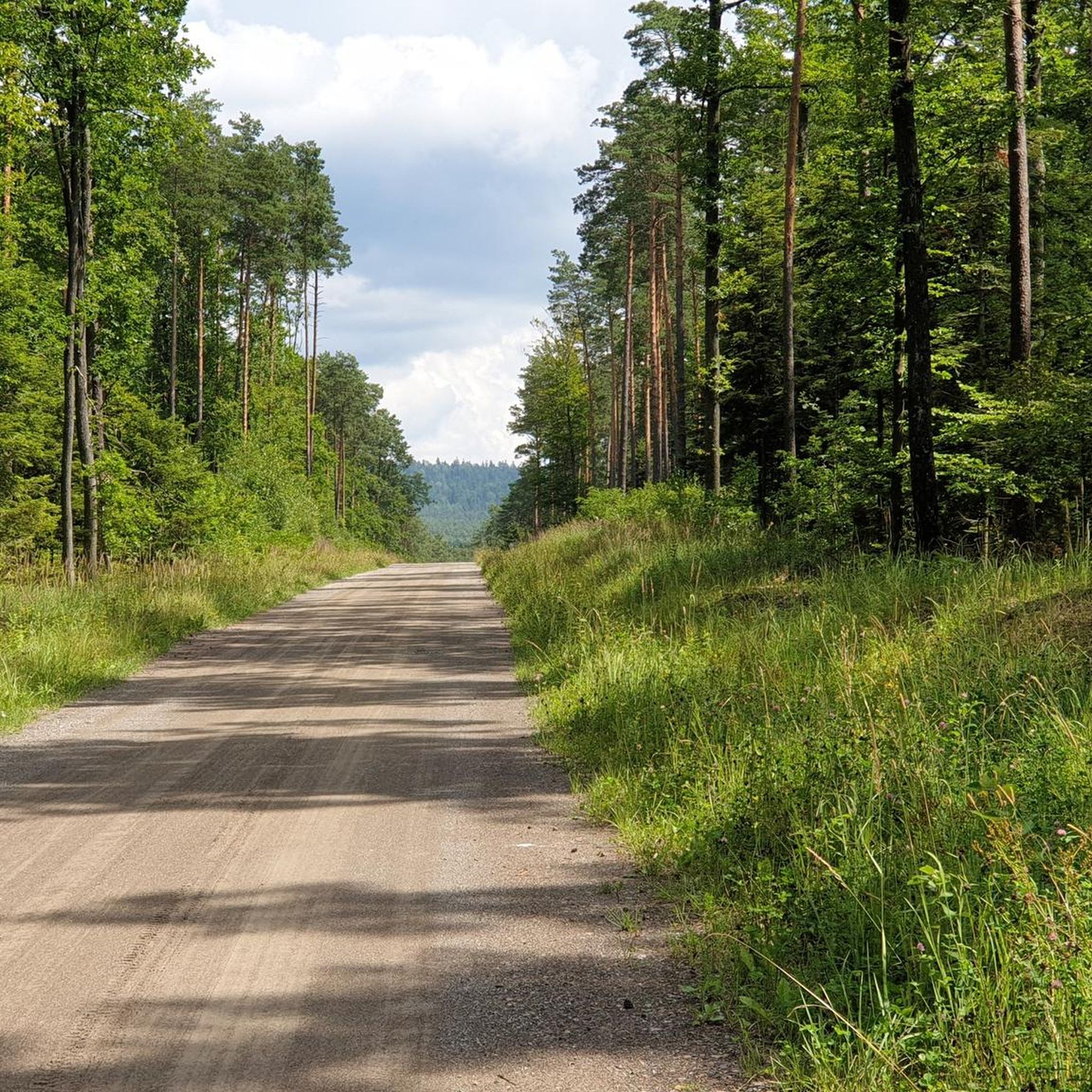
Cycling in Cisowsko-Orłowiński Park Krajobrazowy
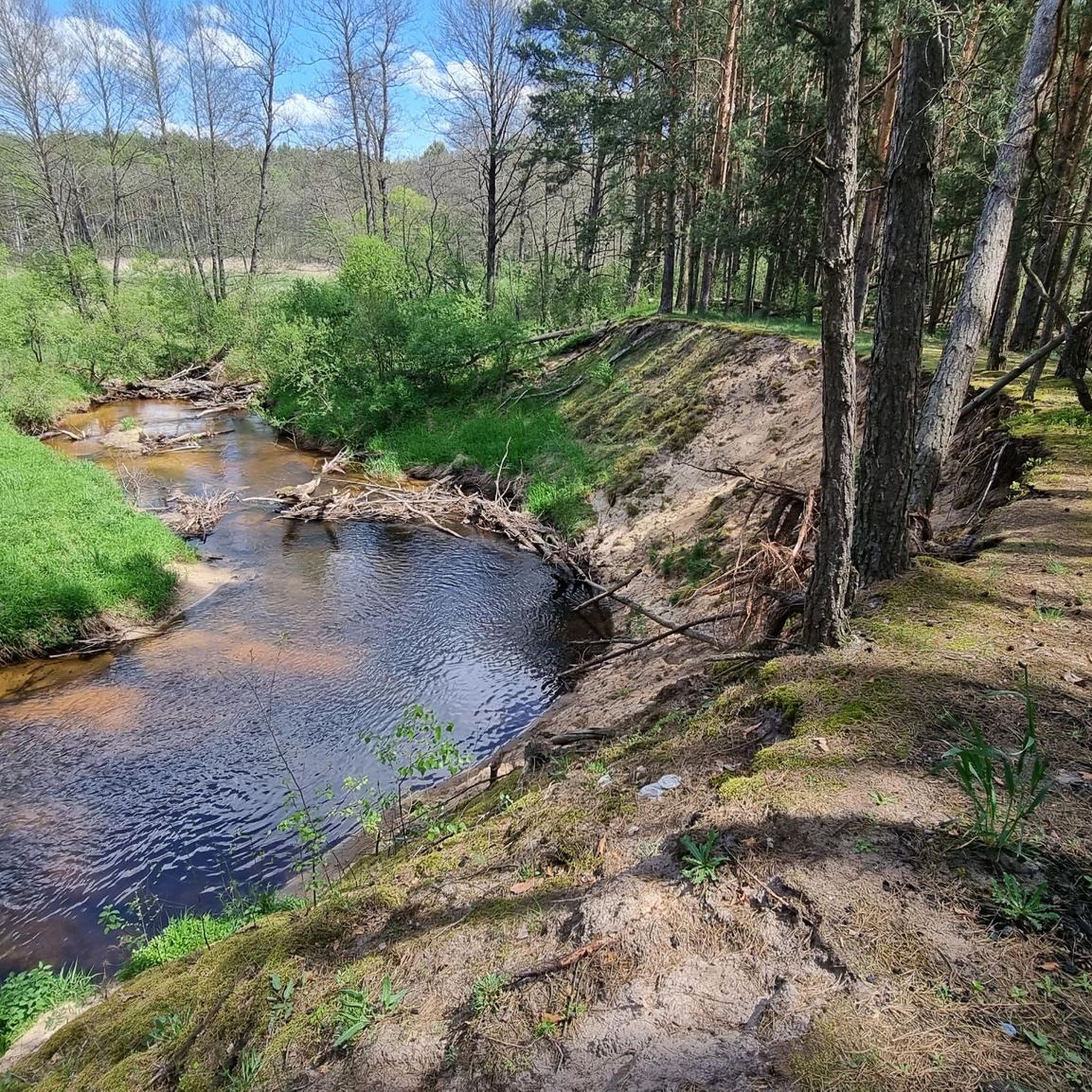
MTB Trails in Cisowsko-Orłowiński Park Krajobrazowy
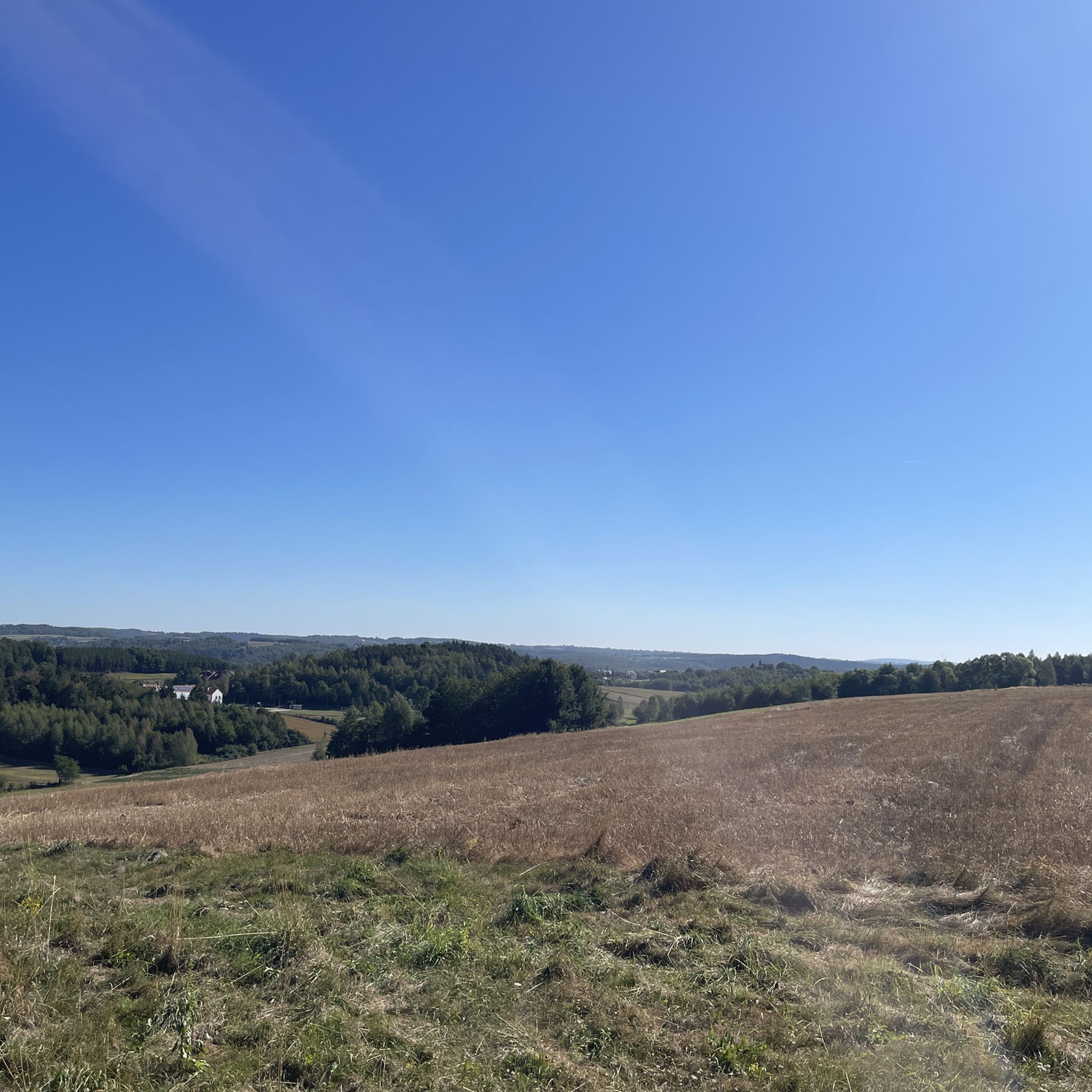
Hiking in Cisowsko-Orłowiński Park Krajobrazowy
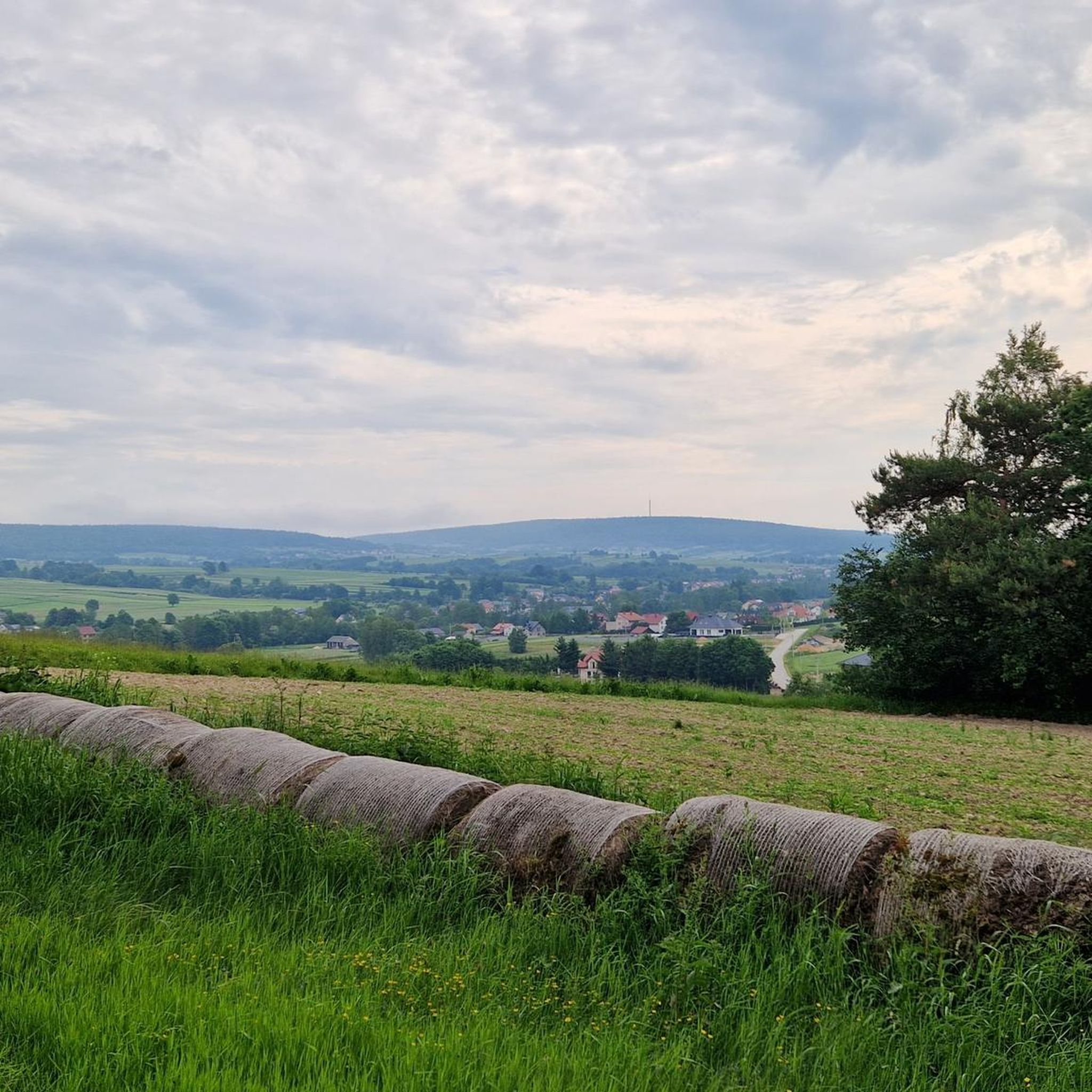
Running Trails in Cisowsko-Orłowiński Park Krajobrazowy

Mountain Hikes in Cisowsko-Orłowiński Park Krajobrazowy

Gravel biking in Cisowsko-Orłowiński Park Krajobrazowy
Tips from the Community

Cool area. I'd like to live somewhere nearby.
0
0

Nice gravel, forest section of GV. Nice view from the bridge on Czarna.
0
0

The Holy Cross and Łysa Góra have been places of worship for centuries, first pagan, and from the 12th century Roman Catholic. It is worth stopping here, because it is a true monument and a place with a considerable history.
3
0

One of the most beautiful climbs in the Świętokrzyskie province. The climb is 6.3 km long, the elevation gain is 270 m. The gradient ranges from 1% to 10%. We enter Łysa Góra (595 m) through the gate to the Świętokrzyski National Park.
1
0
The Holy Cross is a place of extraordinary historical and spiritual significance. At the top of Łysa Góra is the Sanctuary of the Relics of the Holy Cross, one of the oldest and most important sanctuaries in Poland. In addition to religious values, the area around the Holy Cross offers beautiful landscapes of the Świętokrzyskie Mountains. For cyclists, there are many routes of varying difficulty, leading through picturesque forests and hills. It is worth remembering to be properly prepared, as some of the climbs can be demanding.
3
0

Currently, there is a b1 sign on this footbridge (does not apply to two-wheelers or pedestrians) but boars still drive there in cars. You should set up a camera sometime, take some pictures and send them to the police :-) Besides, the police should install cameras there, they would have a harvest.
0
0

The reservoir built in 1976[3] has an area of 35.70 hectares and a volume of 685.6 thousand m³ (normal water level). At normal water level, the water surface is at a height of 245.5 m above sea level, and at winter water level, at a height of 245.0 m above sea level. The greatest depth of the reservoir is over four meters, with an average depth of two meters. The reservoir has two islands
3
0
Zalew Borków is a nice place to relax, easy access and parking
3
0
Frequently Asked Questions
What kind of terrain can I expect when road cycling in Cisowsko-Orłowiński Park Krajobrazowy?
The park is situated within the Kielce Upland, featuring a diverse landscape with gentle hills and more challenging ascents across the Orłowińskie, Ociesęckie, and Cisowskie ranges, as well as the Bardziańskie Hills. You'll find routes that traverse extensive forests, covering 63% of the park, and follow scenic river valleys like the Belnianka, Łagowica, Czarna Staszowska, and Pierzchnianka. This varied topography provides dynamic and engaging rides for different skill levels.
How many road cycling routes are available in Cisowsko-Orłowiński Park Krajobrazowy?
There are over 70 road cycling routes available in Cisowsko-Orłowiński Park Krajobrazowy. These routes cater to various abilities, with 27 easy, 43 moderate, and 4 difficult options, ensuring there's a suitable ride for every cyclist.
Are there any family-friendly road cycling routes in the park?
Yes, the park offers several routes suitable for families. For an easier ride, consider the District Office loop from Daleszyce, an easy 22.9 miles (36.8 km) path that provides a less strenuous journey through scenic areas. The varied terrain ensures options for different family cycling experiences.
What are some notable landmarks or viewpoints along the road cycling routes?
While cycling through the park, you can encounter several interesting points. The Orłowiny Memorial Site offers a historical stop, and you might pass by natural features like Kiełków (452 m a.s.l.), Jaźwina Mountain (361 m), and Włochy Summit (429 m). The Borków Reservoir is also a prominent feature along some routes, offering pleasant views.
Is the Green Velo Eastern Cycling Trail connected to routes in Cisowsko-Orłowiński Park Krajobrazowy?
Yes, the Green Velo Eastern Cycling Trail, Poland's longest cycling route, passes through Cisowsko-Orłowiński Park Krajobrazowy. This integration provides excellent opportunities for longer rides and connects the park's local routes with a broader cycling network.
What is the best time of year for road cycling in Cisowsko-Orłowiński Park Krajobrazowy?
The park's diverse landscapes, including extensive forests and river valleys, are particularly beautiful during spring and autumn. These seasons typically offer pleasant temperatures and vibrant scenery, making them ideal for road cycling. Summer is also suitable, though some routes might be more shaded by the dense forests.
Are there any circular road cycling routes available?
Yes, many of the routes in Cisowsko-Orłowiński Park Krajobrazowy are designed as loops. For example, the Borków Reservoir – Rębajło Oak Monument loop from Szczecno is a popular moderate trail that leads through forested areas and past the Borków Reservoir, offering a complete circular experience.
What do other road cyclists say about their experience in Cisowsko-Orłowiński Park Krajobrazowy?
The area is highly rated by the komoot community, with an average score of 4.5 stars from more than 20 reviews. Cyclists often praise the varied terrain, the scenic beauty of the forests and river valleys, and the availability of routes for different skill levels, from easy to more challenging.
Are there options for longer road cycling tours in the park?
Yes, for those seeking longer rides, routes like the Grocery Store – Borków Reservoir loop from Niwy cover approximately 39.1 miles (62.9 km) and offer a moderate challenge. The park's connection to the Green Velo trail also facilitates extended cycling adventures.
What are the parking options for cyclists in Cisowsko-Orłowiński Park Krajobrazowy?
While specific parking locations are not detailed for every route, the presence of towns like Łagów, Raków, Daleszyce, and Dębno in the vicinity suggests that parking facilities are available in or near these urban centers, providing convenient access points for cyclists looking to explore the park's routes.
Can I find amenities like cafes or accommodation near the cycling routes?
The region includes several historic urban layouts such as Łagów, Raków, Daleszyce, and Dębno. These towns are likely to offer various amenities, including cafes, pubs, and accommodation options, providing convenient stops and places to stay for cyclists exploring Cisowsko-Orłowiński Park Krajobrazowy.
Most popular routes in Cisowsko-Orłowiński Park Krajobrazowy
Most popular attractions in Cisowsko-Orłowiński Park Krajobrazowy

Get inspired with the komoot mobile app


Explore more
Browse the best Road cycling routes in other regions.
