The best running trails in Gimmlitztal
4.6
(158)
1,605
runners
99
runs
Jogging routes in Gimmlitztal offer diverse natural landscapes, characterized by the pristine Gimmlitz river and extensive spruce forests. The valley forms the eastern border of the Erzgebirge/Vogtland Nature Park, providing a largely natural environment for outdoor activities. Trails often feature protected meadows, historic watermills, and rocky formations like the "Knochen," which offers panoramic views. The terrain includes varied elevations suitable for different running preferences.
Best jogging routes in Gimmlitztal
- The most popular jogging route is View of the Snowy Forest…
Last updated: November 8, 2026
3
runners
4.93km
00:31
40m
40m
Easy run. Mostly paved surfaces.
3
runners
5.69km
00:41
150m
150m
Moderate run. Good fitness required. Mostly paved surfaces.

3
runners
10.6km
01:14
260m
260m
Moderate run. Good fitness required. Mostly paved surfaces.
5.0
(1)
5
runners
11.6km
01:15
210m
210m
Moderate run. Good fitness required. Mostly paved surfaces.
3
runners
3.38km
00:23
60m
60m
Easy run. Mostly paved surfaces.
Get access to more routes and recommendations from other explorers.
Already have an account?
Our route recommendations are based on thousands of hikes, rides, and runs completed by other people on komoot.
Start today with a free account
Your next adventure awaits.
Other adventures in Gimmlitztal

Tips from the Community

The individual character of our rooms ranges from classic and traditional to modern and exclusive. They all share a welcoming atmosphere and individual, upscale furnishings. They express the coziness, security, and warmth of our hotel. Here, you'll easily find peace and relaxation—whether you're traveling alone, as a couple, or with your family. See: https://www.frauensteinerhof.de/de/hotel
3
1

Beautiful hiking trail in the countryside along the stream.
0
0

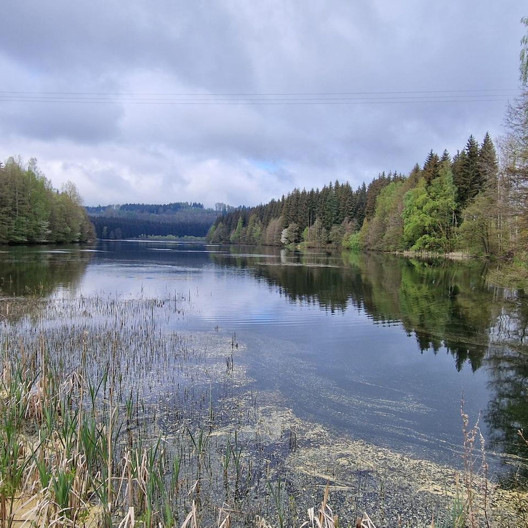
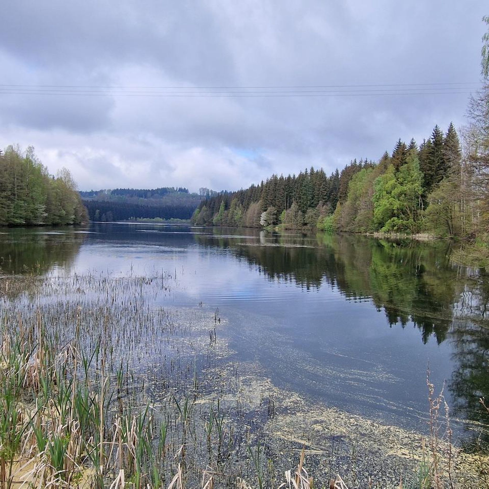
Pure nature on the Gimmlitz before it is dammed.
1
0

The path follows the Gimmlitzbach stream, which meanders through the valley close to the path.
1
0

"The Royal Saxon Triangulation (here with its historical name) is a national survey carried out in the years 1862 to 1890 on the territory of the Kingdom of Saxony with the simultaneous creation of a trigonometric network. The aim was to record the territory of the state in a scientifically and geodetically precise manner and to create the basis for the production of precise maps by establishing permanently marketed fixed points." - https://de.wikipedia.org/wiki/K%C3%B6niglich-S%C3%A4chsische_Triangulirung The triangulation network created by August Nagel was considered one of the most precise surveying networks in the world at the time. The Nagel columns are now preserved as technical monuments. Unfortunately, no other stations can be seen from the Kannelberg, but the mountain can be seen from other stations. For example, Sandberg in Frauenstein, Opitzhöhe above Freital, Neuklingenberger Höhe, etc.
1
0

The Gimmlitz rises here and flows into the Freiberger Mulde near Lichtenberg.
1
0

Beautiful portal and church
0
0

Nice hotel. Can be recommended.
0
1
Frequently Asked Questions
How many running routes are available in Gimmlitztal?
Gimmlitztal offers a wide selection of running routes, with over 100 different trails to explore. These include options for all skill levels, from easy riverside paths to more challenging routes with significant elevation changes.
Are there easy jogging routes suitable for beginners or a relaxed run?
Yes, Gimmlitztal has several easy running routes. For a gentle introduction, consider the View of the Snowy Forest – Gimmlitz Spring loop from Neuhermsdorf, an easy 3.1-mile (4.9 km) trail that takes about 30 minutes and passes the charming Gimmlitz Spring. Another easy option is the Pig in Minecraft Barn loop from Hermsdorf/Erzgebirge.
What kind of terrain can I expect on the running trails in Gimmlitztal?
The terrain in Gimmlitztal is quite diverse, ranging from flat paths along the pristine Gimmlitz river to trails through extensive spruce forests and protected meadows. You'll also encounter varied elevations, including rocky formations like the "Knochen," which offers panoramic views. The valley forms the eastern border of the Erzgebirge/Vogtland Nature Park, ensuring a largely natural and varied running experience.
Are there any scenic viewpoints or natural landmarks along the jogging routes?
Absolutely! Many routes offer stunning views. The Knochen loop from Hermsdorf/Erzgebirge leads to the "Knochen," a 712-meter-high rocky granite porphyry formation with beautiful vistas of the Gimmlitztal and Frauenstein. You can also discover the Gimmlitz Spring with its small water wheel, and the Orchid Meadows in the Gimmlitz Valley.
Can I find circular running routes in Gimmlitztal?
Yes, many of the running routes in Gimmlitztal are designed as loops, allowing you to start and finish at the same point. Examples include the View of the Snowy Forest – Gimmlitz Spring loop and the Knochen loop, both offering convenient circular options for your run.
Are there any historical attractions or points of interest to see while running?
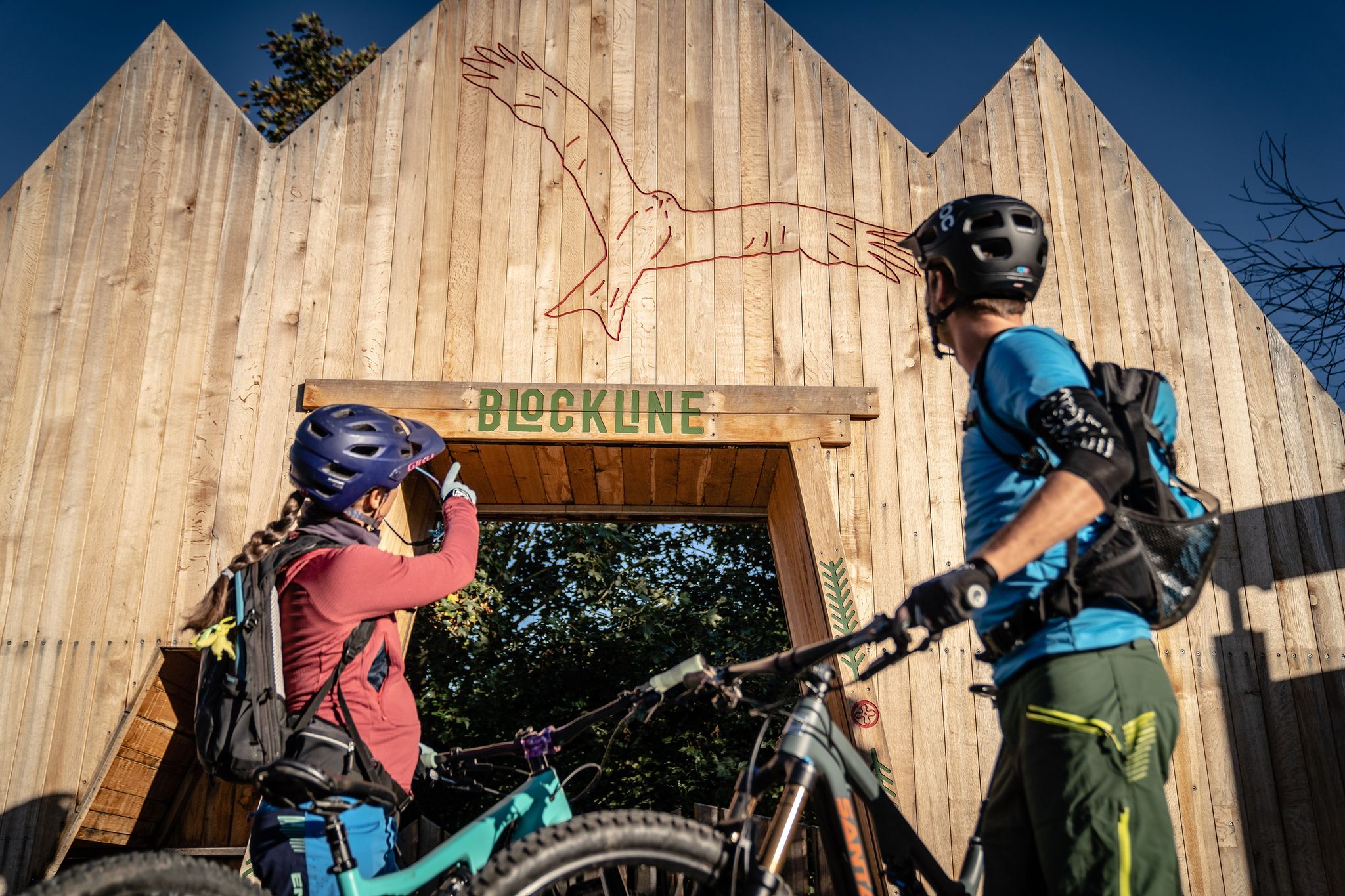
Gimmlitztal is known as the "Valley of Mills," and you can encounter several historic watermills. The Illing Mill — Historic Sawmill is a notable example, preserved as a functional technical monument. You might also spot the BLOCKLINE Black Woodpecker Sculpture at the Frauenstein shelter or the unique Gundi Rocket at Freie Republik Gimmlitztal.
What do other runners say about the trails in Gimmlitztal?
The running routes in Gimmlitztal are highly rated by the komoot community, with an average score of 4.6 stars from over 100 reviews. More than 1500 runners have explored the varied terrain, often praising the pristine natural environment, the clean Gimmlitz river, and the well-maintained paths through shaded spruce forests.
Are there any facilities or rest areas along the running paths?
Yes, you can find pleasant rest areas along some routes. The Forest Classroom Gimmlitztal, for instance, provides informative display boards about local history, offering a good spot to recuperate. The Gundi Rocket at Freie Republik Gimmlitztal is also described as an aid station.
What is a good route for a longer, more challenging run?
For a longer and more challenging run, consider the Drachenkopf Summit loop from Hermsdorf/Erzgebirge. This moderate 6.6-mile (10.6 km) trail leads through varied terrain and typically takes about 1 hour 15 minutes to complete, offering a good workout with significant elevation changes.
Are there any routes that pass by the Gimmlitz river?
Many routes in Gimmlitztal follow the course of the Gimmlitz river, which is known for its very clean water. Running along its banks provides a refreshing experience. The Stone Bridge Over Stream – Hotel Frauensteiner Hof loop from Frauenstein is one such route that offers views of the river and its surroundings.
When is the best time of year to go running in Gimmlitztal?
Gimmlitztal offers a beautiful setting for running throughout much of the year. The spruce forests provide shaded trails ideal for warmer months, while the diverse natural landscapes are particularly scenic in spring with blooming flora like orchids, and in autumn with vibrant foliage. The region's natural state makes it appealing across seasons, though checking local weather is always recommended.
Most popular routes in Gimmlitztal
Most popular attractions in Gimmlitztal
Get inspired with the komoot mobile app


Explore more
Browse the best Running Trails & Routes in other regions.