The best road cycling routes in Mittleres Seidewitztal
4.6
(673)
9,584
riders
220
rides
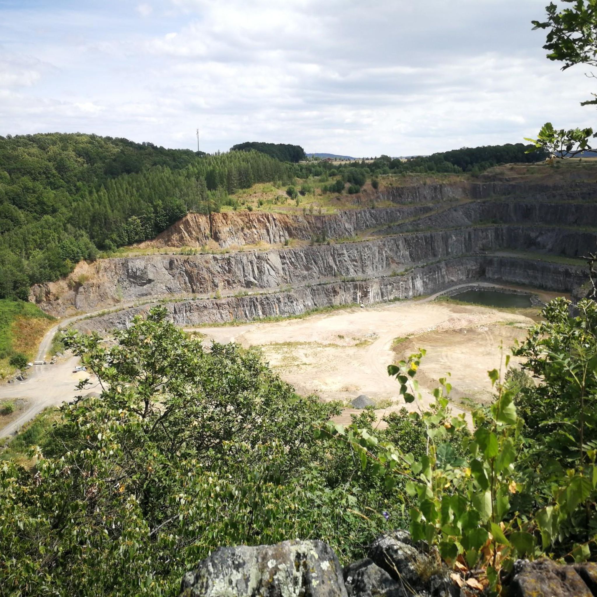
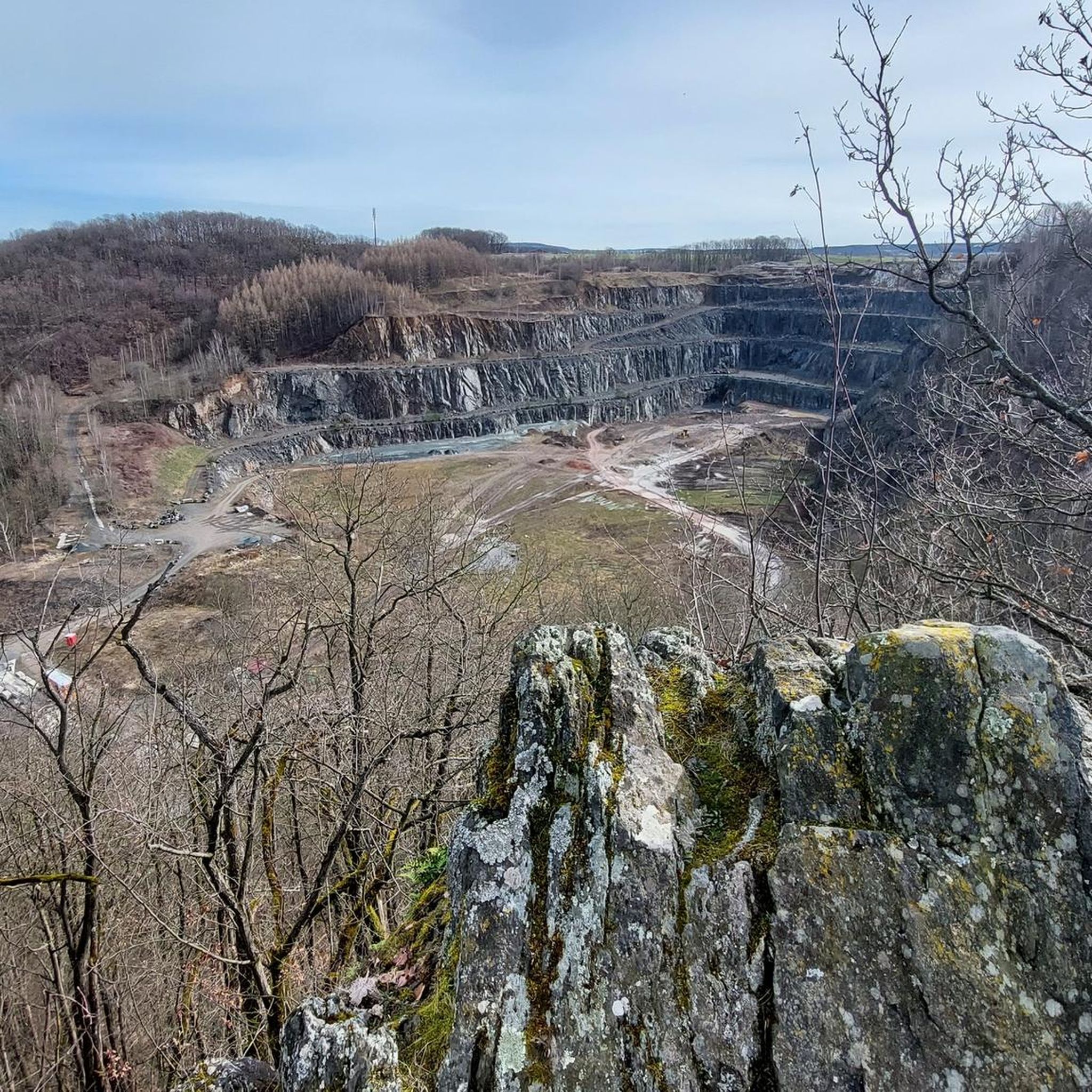
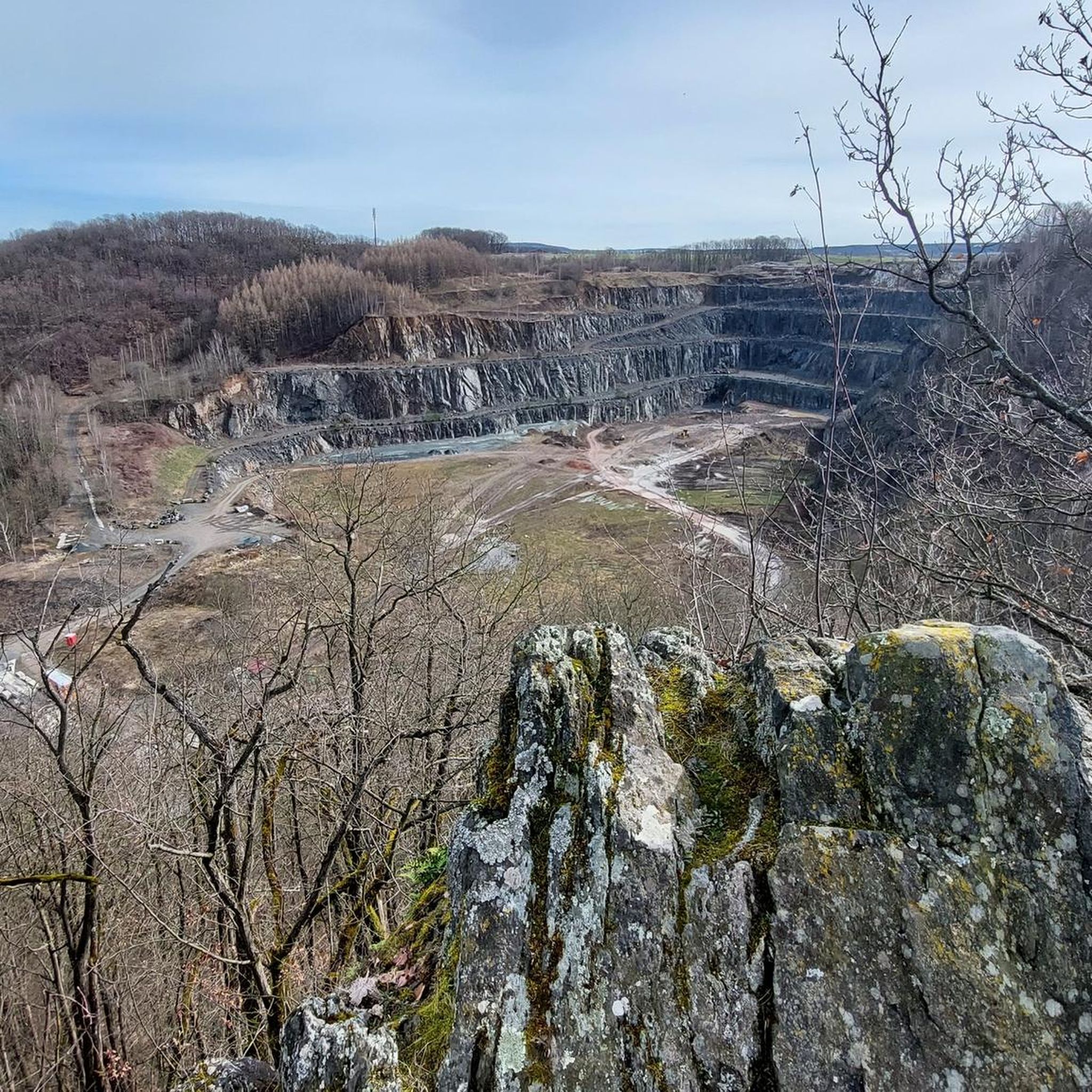
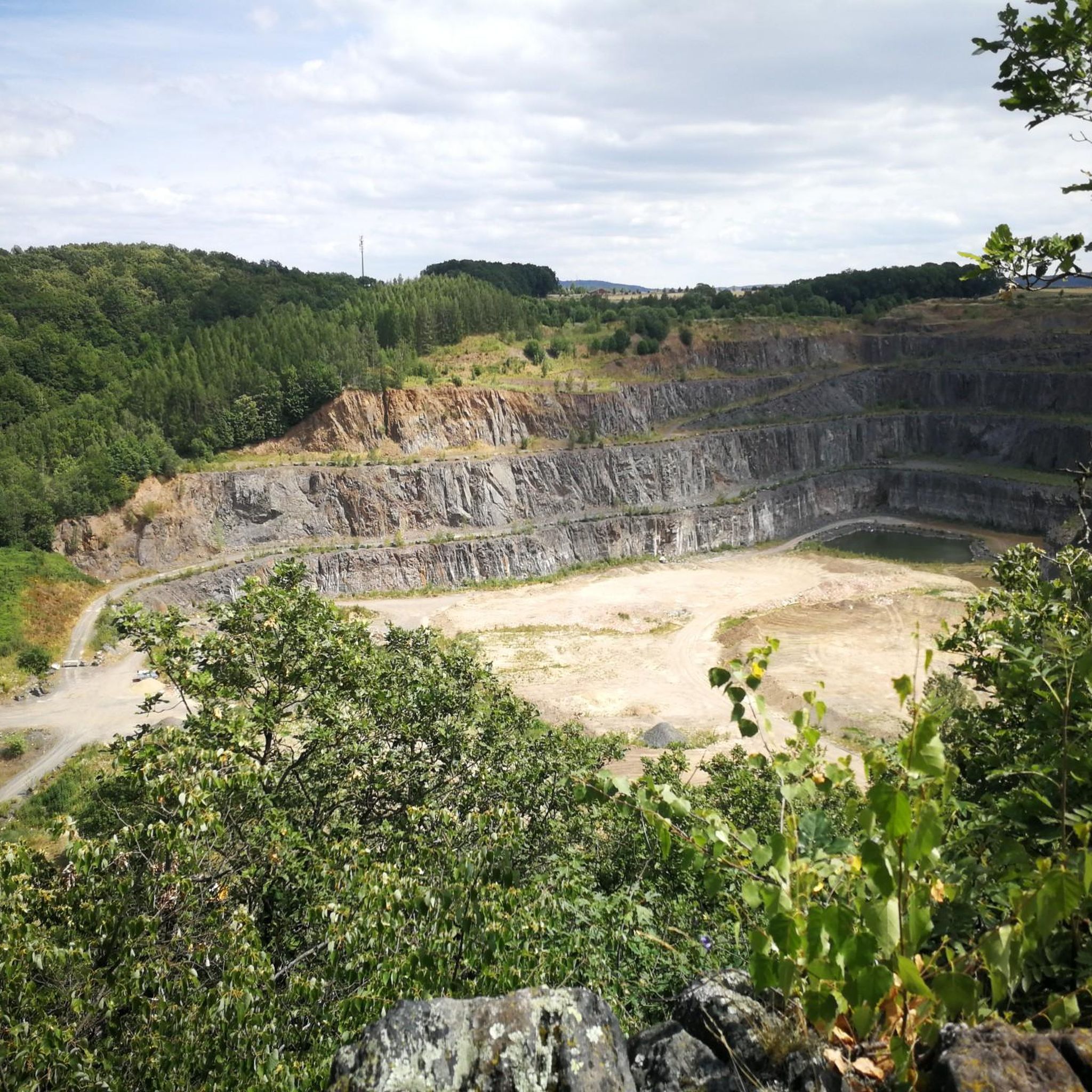
Road cycling routes in Mittleres Seidewitztal traverse a picturesque nature reserve within the Sächsische Schweiz-Osterzgebirge district. The region features a narrow valley carved by the Seidewitz river, characterized by diverse valley and hillside meadows alongside natural deciduous mixed forests. Cyclists can expect undulating terrain, offering varied challenges and scenic backdrops, particularly in areas adjacent to the valley. The geological diversity, including former quarries and lime deposits, adds to the landscape's unique character.
Best road cycling routes in Mittleres Seidewitztal
- The…
Last updated: July 11, 2026
5.0
(2)
9
riders
Moderate road ride. Good fitness required. Mostly well-paved surfaces and easy to ride.
5.0
(1)
5
riders
75.5km
04:04
1,420m
1,420m
Hard road ride. Very good fitness required. Mostly well-paved surfaces and easy to ride.

Sign up for free
4.5
(8)
76
riders
66.5km
03:17
840m
840m
Moderate road ride. Good fitness required. Mostly well-paved surfaces and easy to ride.
5.0
(2)
15
riders
42.2km
02:02
590m
600m
Moderate road ride. Good fitness required. Mostly well-paved surfaces and easy to ride.
3.0
(1)
9
riders
Moderate road ride. Good fitness required. Mostly well-paved surfaces and easy to ride.
Get access to more routes and recommendations from other explorers.
Sign up for free
Already have an account?
Our route recommendations are based on thousands of hikes, rides, and runs completed by other people on komoot.
Start today with a free account
Your next adventure awaits.
Login or Signup
Tips from the Community

Asphalt has just been renewed. The finest 👍
0
0

Pleasant climb, although briefly relatively steep. Low-traffic road and good asphalt. Therefore also suitable for descents.
0
0

a beautiful destination and highly recommended
0
0

It's simply breathtakingly beautiful here 😊.
0
0

The castle park offers a great view of the castle.
0
1

There are several pedestrian bridges over the Weißeritz, and the riverbed is 3 meters high and blooming with greenery and flowers. It's beautiful to look at, but it seems that people in Freital have largely forgotten the flood of 2002 and the events surrounding the raging and destructive Weißeritz at that time.
0
0

Uphill isn't as bad as it might seem. Rides great.
0
0

Great track, no cars sticking to your butt :-)
0
0
Frequently Asked Questions
How many road cycling routes are available in Mittleres Seidewitztal?
The Mittleres Seidewitztal region offers a wide selection of road cycling routes, with over 220 tours available on komoot. These routes cater to various skill levels, from moderate valley rides to more challenging climbs.
What kind of terrain can I expect when road cycling in Mittleres Seidewitztal?
Road cycling in Mittleres Seidewitztal features undulating terrain, with routes traversing the picturesque narrow valley of the Seidewitz river, diverse meadows, and natural deciduous mixed forests. You'll find a mix of gentle gradients along river valleys and more demanding ascents, especially in areas adjacent to the nature reserve.
Are there routes suitable for beginners or those looking for an easier ride?
Yes, out of the over 220 routes, approximately 35 are classified as easy, and 126 as moderate. These routes often follow river valleys, providing a less strenuous experience. For example, the Müglitztal Road from Glashütte – Müglitztal Cycle Path loop from Burkhardswalde-Maxen is a moderate route offering pleasant riverside views.
What are some notable landmarks or scenic points I can see along the road cycling routes?
The region is rich in natural beauty and historical interest. You can expect views of diverse valley and hillside meadows, natural deciduous mixed forests, and the meandering Seidewitz river. Some routes also offer glimpses of historical sites, such as the former quarries and lime deposits near Nentmannsdorf, or views of structures like Weesenstein Castle, which you can see on the View of Weesenstein Castle – Western ascent to Börnchen loop from Weesenstein route.
Are there any challenging road cycling routes in the area?
Absolutely. For experienced cyclists seeking a challenge, there are 67 difficult routes available. These often include significant ascents and longer distances. The View of Weesenstein Castle – Western ascent to Börnchen loop from Weesenstein is a prime example, covering 75.5 km with substantial elevation gain.
What is the best time of year to go road cycling in Mittleres Seidewitztal?
The spring season is particularly noted for its abundance of flowering plants, making it a beautiful time to visit. Generally, late spring through early autumn offers the most favorable weather conditions for road cycling, with pleasant temperatures and lush landscapes. Always check the local weather forecast before heading out.
Are there loop routes available for road cyclists?
Yes, many of the road cycling routes in Mittleres Seidewitztal are designed as loops, allowing you to start and end at the same point. Examples include the Weißeritztal – Malter Dam loop from Mühlbach (Pirna) and the View of Saxon Switzerland loop from Liebstadt.
What do other road cyclists think about the routes in Mittleres Seidewitztal?
The routes in Mittleres Seidewitztal are highly rated by the komoot community, with an average score of 4.5 stars from over 580 reviews. Cyclists often praise the varied terrain, scenic views, and the opportunity to explore the region's natural beauty.
Is public transport accessible for reaching road cycling routes in Mittleres Seidewitztal?
While the core of Mittleres Seidewitztal is a nature reserve, the broader Sächsische Schweiz-Osterzgebirge district is committed to developing cycling infrastructure and accessibility. Towns like Pirna, Dippoldiswalde, and Altenberg, which are good starting points for routes in the wider area, generally have public transport connections. It's advisable to check local bus and train schedules for specific starting points.
Are there options for food and accommodation near the road cycling trails?
The region surrounding Mittleres Seidewitztal, including nearby villages and towns like Liebstadt, Zehista, and Glashütte, offers various options for cafes, pubs, and accommodation. These can serve as convenient stops for refreshments or overnight stays during your cycling tour.
Can I find routes that offer views of Saxon Switzerland?
Yes, some routes in the Mittleres Seidewitztal area extend to offer panoramic views of the wider Sächsische Schweiz region. The View of Saxon Switzerland loop from Liebstadt is an excellent example, providing scenic vistas of the iconic landscape.
What is the typical elevation gain on road cycling routes here?
The elevation gain varies significantly depending on the route's difficulty. Moderate routes like the Müglitztal Road from Glashütte – Müglitztal Cycle Path loop from Burkhardswalde-Maxen might have around 540 meters of ascent, while more difficult routes, such as the View of Weesenstein Castle – Western ascent to Börnchen loop from Weesenstein, can feature over 1400 meters of climbing.
Most popular routes in Mittleres Seidewitztal

Get inspired with the komoot mobile app


Explore more
Browse the best Road cycling routes in other regions.
