The best walks and hikes in Mittleres Seidewitztal
4.6
(10698)
39,053
hikers
1,245
hikes
Hiking in Mittleres Seidewitztal, located within the Saxon Switzerland-Osterzgebirge region, features a diverse landscape shaped by the Seidewitz river. The area is characterized by narrow valley sections, natural deciduous and mixed forests, and rocky slopes formed by quartz porphyry. Unique limestone scree slopes and rocks are present, providing varied terrain for outdoor activities.
Best hiking trails in Mittleres Seidewitztal
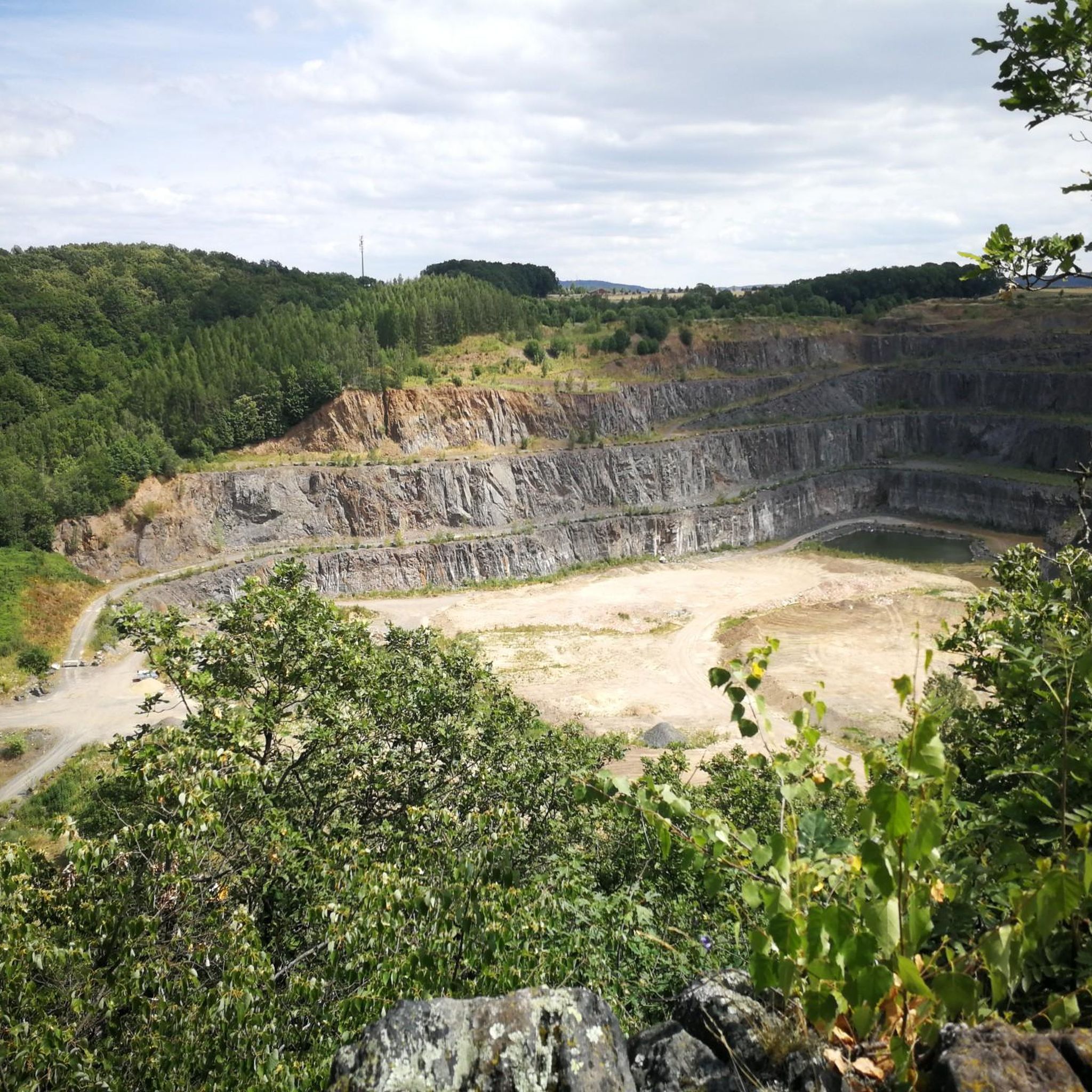
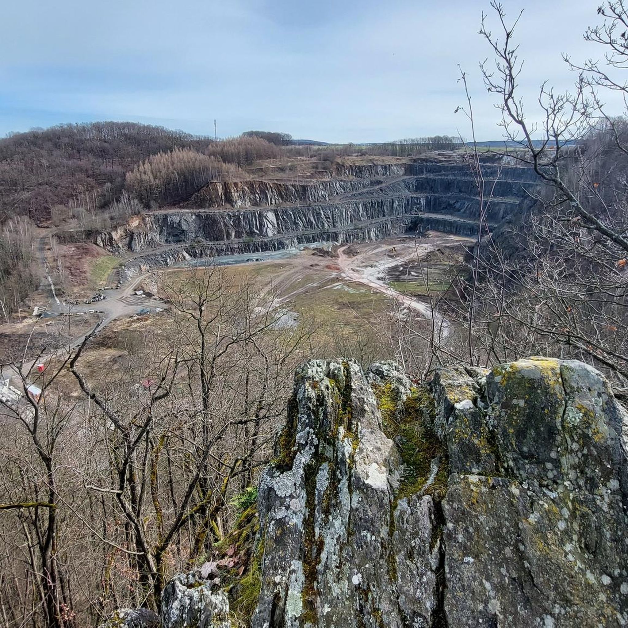
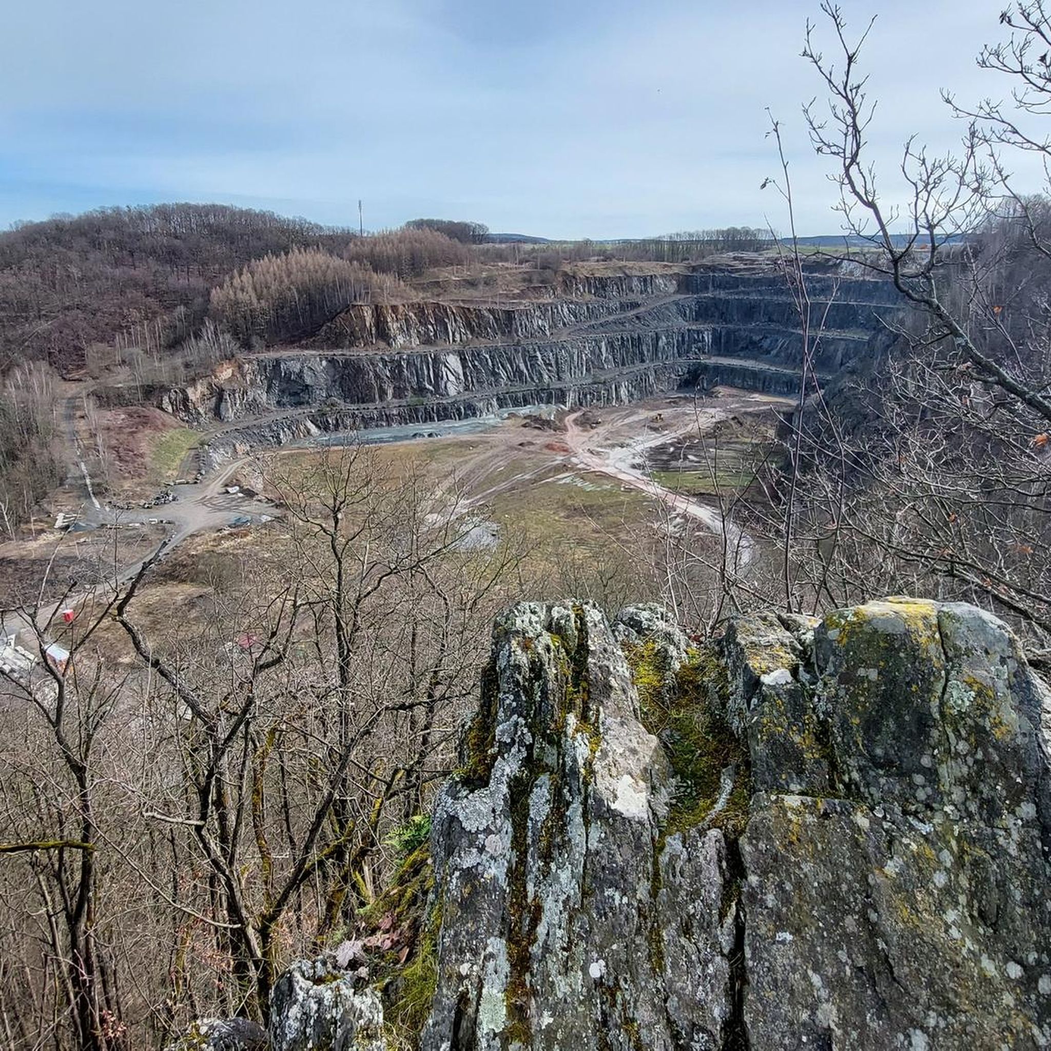
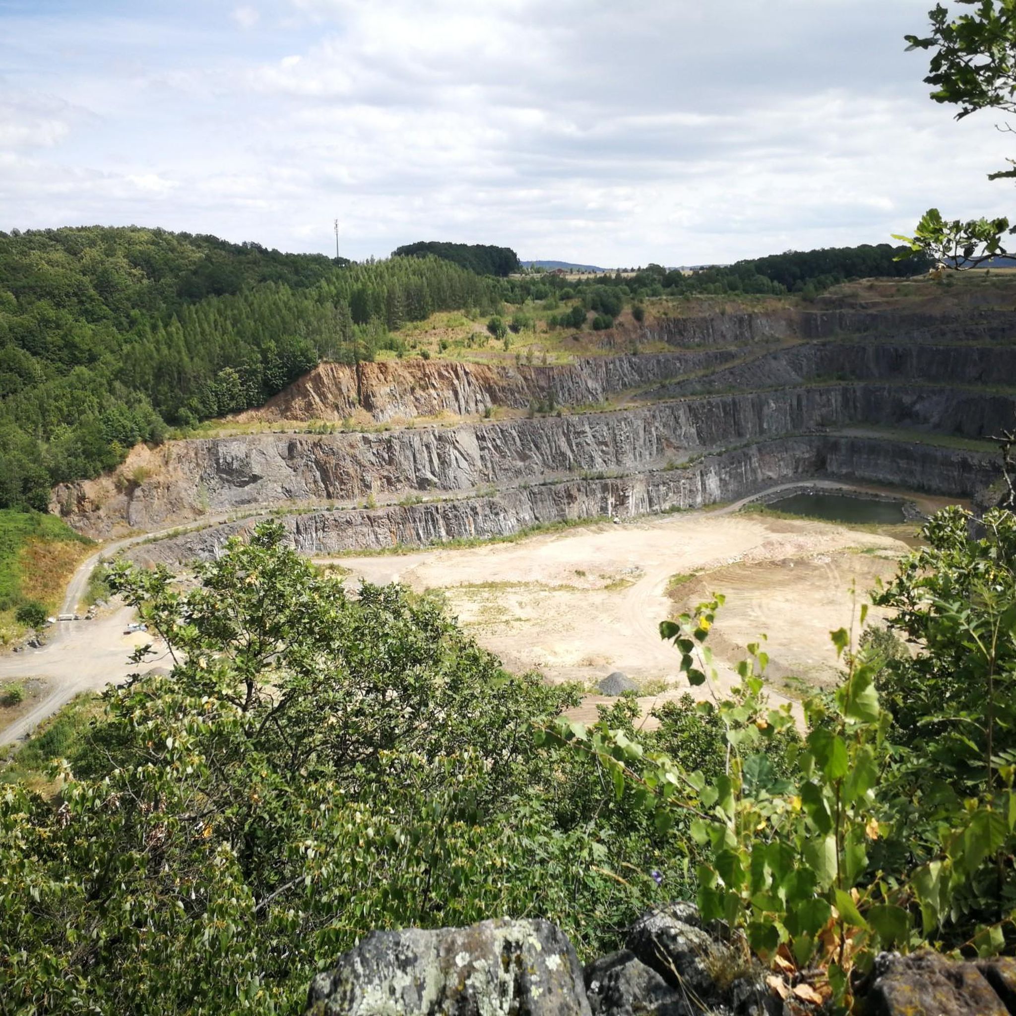
- The most popular hiking route is Kleine Bastei Viewpoint – View from Kleine Bastei loop from Herbergen, a 3.8 miles…
Last updated: June 28, 2026
4.5
(14)
48
hikers
6.20km
01:57
170m
170m
Moderate hike. Great for any fitness level. Mostly accessible paths. Sure-footedness required.
4.7
(3)
15
hikers
Moderate hike. Good fitness required. Easily-accessible paths. Suitable for all skill levels.

Sign up for free
3.6
(5)
12
hikers
Easy hike. Great for any fitness level. Easily-accessible paths. Suitable for all skill levels.
2
hikers
19.6km
05:52
490m
490m
Hard hike. Very good fitness required. Mostly accessible paths. Sure-footedness required.
4.6
(27)
80
hikers
Moderate hike. Good fitness required. Easily-accessible paths. Suitable for all skill levels.
Get access to more routes and recommendations from other explorers.
Sign up for free
Already have an account?
Our route recommendations are based on thousands of hikes, rides, and runs completed by other people on komoot.
Start today with a free account
Your next adventure awaits.
Login or Signup
Tips from the Community

The old, historic stone bridge was used for the church path from Neudörfel to Liebenau. It was reconstructed in 1999 according to old plans.
1
0

a beautiful excursion destination and highly recommended
0
0
Starting point of my hike and you can also park here for free
0
0
really very interestingly designed and informative - there are still several more to discover here
0
0

View of Weesenstein Castle. Information: First documented in 1318 as "Weysinberg, dem huse," this medieval fortification stands on a rocky outcrop of nodular mica schist with quartzite inclusions, overlooking the Müglitz Valley.
1
0

Just before reaching the remains of the Belvedere, a look back towards Meusegast.
0
1

The park invites you to take a stroll and offers beautiful views of the Müglitz Valley.
7
1
The castle park is designed in the French style and forms a beautiful contrast to the wooded surroundings.
7
0
Frequently Asked Questions
How many hiking trails are available in Mittleres Seidewitztal?
Mittleres Seidewitztal offers a wide variety of hiking experiences, with over 1200 routes available. These range from easy strolls to more challenging excursions, ensuring there's a suitable path for every hiker.
What kind of terrain and difficulty levels can I expect on hikes in Mittleres Seidewitztal?
The region is characterized by diverse terrain, including narrow river valleys, natural deciduous and mixed forests, and rocky slopes formed by quartz porphyry. You'll find a good mix of difficulty levels: over 670 easy routes, nearly 500 moderate trails, and about 65 more challenging paths that may require good sure-footedness.
Are there family-friendly hiking options in Mittleres Seidewitztal?
Yes, Mittleres Seidewitztal has many routes suitable for families. For an easy and scenic option, consider the View from Kanitzberg – Kanitzberg Rest Area loop from Mittleres Seidewitztal, which is just under 3 km and leads to a viewpoint.
Can I bring my dog on the hiking trails in Mittleres Seidewitztal?
Generally, dogs are welcome on the hiking trails in Mittleres Seidewitztal. However, as parts of the area are designated nature reserves, it's advisable to keep dogs on a leash, especially to protect the diverse wildlife, including various bat and bird species, and to respect other hikers.
Are there many circular hiking routes in Mittleres Seidewitztal?
Yes, many of the hiking routes in Mittleres Seidewitztal are designed as circular walks, allowing you to start and end at the same point without retracing your steps. Examples include the popular Kleine Bastei Viewpoint – View from Kleine Bastei loop from Herbergen and the View of Weesenstein Castle – Müglitz Bridge loop from Mittleres Seidewitztal.
What notable landmarks or viewpoints can I discover while hiking in Mittleres Seidewitztal?
Hikers can explore several picturesque viewpoints and historical sites. The Aussichtspunkt Kleine Bastei offers scenic vistas, while the historic Schloss Weesenstein is a prominent landmark visible from certain trails. The Kanitzberg also provides panoramic views, and the Steinbrücke im Trebnitzgrund is an interesting feature on a longer route.
What natural features make Mittleres Seidewitztal unique for hikers?
The region's uniqueness stems from its geological diversity, including a broad barrier of quartz porphyry that the Seidewitz stream cut through, creating a ravine-like valley. Rare limestone scree slopes and rocks provide habitats for calciphilous plants and various animal species, such as bats, fire salamanders, and numerous bird species. The Hochwasserrückhaltebecken Seidewitz, a flood retention basin, also adds to the landscape.
Is parking available near the hiking trailheads in Mittleres Seidewitztal?
Yes, parking options are generally available in the vicinity of popular trailheads and towns like Liebstadt, which serves as a good starting point for many hikes in the Mittleres Seidewitztal region.
What is the best time of year to go hiking in Mittleres Seidewitztal?
The spring season is particularly vibrant, showcasing a rich display of blossoms within this relatively undisturbed area. However, the diverse landscapes and well-maintained paths make Mittleres Seidewitztal an attractive destination for hiking throughout much of the year, with each season offering its own unique charm.
What do other hikers enjoy the most about hiking in Mittleres Seidewitztal?
The area is highly rated by the komoot community, with an average score of 4.6 stars from over 10,000 reviews. Reviewers often praise the diverse landscapes, the well-maintained paths, and the combination of natural beauty with historical points of interest like Schloss Weesenstein.
Are there any longer, more challenging hikes in the area?
Yes, for those seeking a more demanding experience, routes like the Stone bridge in the Trebnitzgrund – Trebnitzgrund loop from Herbergen offer a significant challenge. This difficult route covers nearly 20 km with substantial elevation changes, providing a rewarding adventure for experienced hikers.
Most popular routes in Mittleres Seidewitztal

Get inspired with the komoot mobile app


Explore more
Browse the best Hikes in other regions.
