Wiesent-Tal Mit Seitentälern
Wiesent-Tal Mit Seitentälern
The best mountain hikes in Wiesent-Tal Mit Seitentälern
4.8
(7)
92
hikers
24
hikes
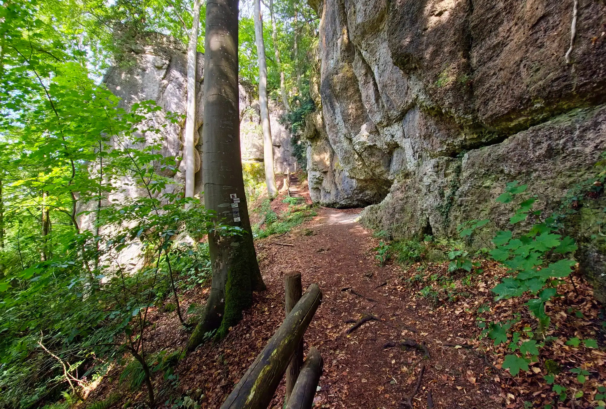
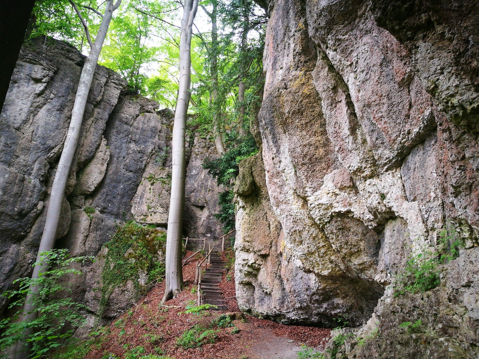
Mountaineering routes in Wiesent-Tal Mit Seitentälern are set within Franconian Switzerland, a region known as one of Germany's premier climbing areas and often called the "rockiest region outside the Alps." The terrain is characterized by wild rock massifs, distinctive rock formations, and idyllic valleys carved by the Wiesent River. This diverse landscape offers a natural environment for mountaineering, featuring deep rock gorges and mixed forests alongside steep rock faces.
Best mountaineering routes in Wiesent-Tal Mit Seitentälern
- The most popular mountaineering…
Last updated: July 9, 2026
5.0
(2)
15
hikers
Moderate mountaineering route. Good fitness required. Mostly accessible paths. Sure-footedness required.
5.0
(2)
15
hikers
Moderate mountaineering route. Good fitness required. Easily-accessible paths. Suitable for all skill levels.

Sign up for free
6
hikers
22.9km
07:05
790m
800m
Hard mountaineering route. Very good fitness required. Mostly accessible paths. Sure-footedness required.
10
hikers
11.6km
03:20
280m
280m
Moderate mountaineering route. Good fitness required. Easily-accessible paths. Suitable for all skill levels.
9
hikers
13.3km
03:53
350m
350m
Moderate mountaineering route. Good fitness required. Easily-accessible paths. Suitable for all skill levels.
Get access to more routes and recommendations from other explorers.
Sign up for free
Already have an account?
Our route recommendations are based on thousands of hikes, rides, and runs completed by other people on komoot.
Start today with a free account
Your next adventure awaits.
Login or Signup
Popular around Wiesent-Tal Mit Seitentälern
Ultratrail Fränkische Schweiz – 2 Days Burgen, Wälder, Trails
Forests, rocks and castles – 5-day circular through Franconian Switzerland

The National Natural Landscapes in Bavaria
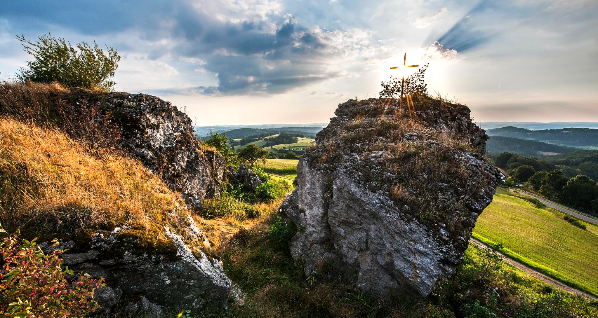
Fun hiking and wonderful views in Franconian Switzerland
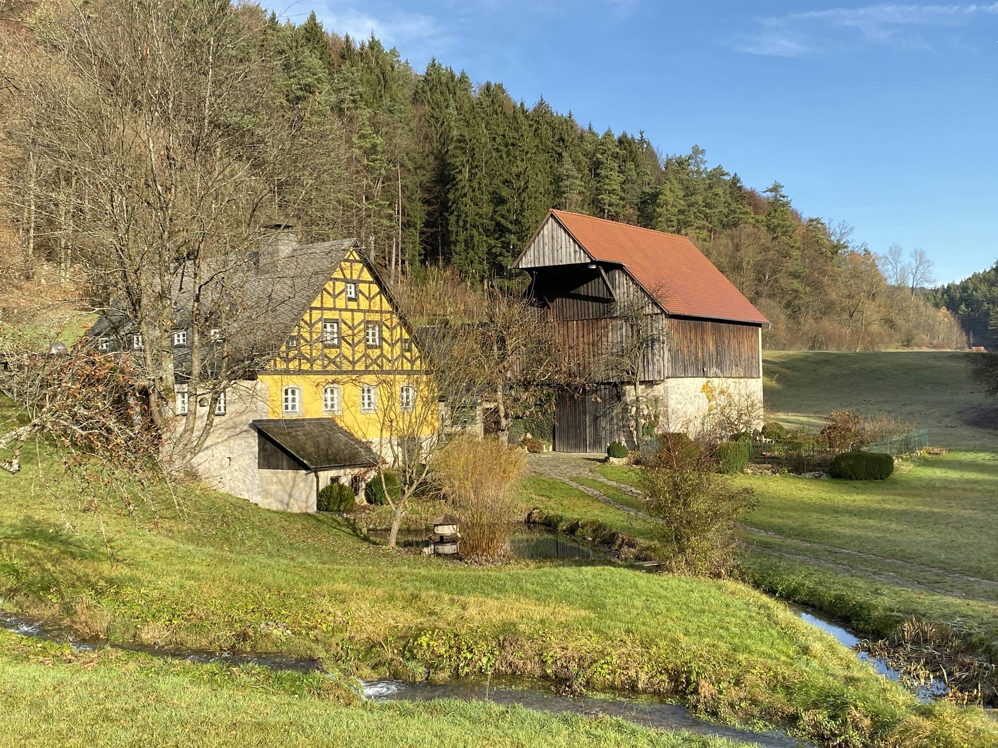
From the view to the Seidla – Nature and BeerEnjoyment in the Franconian Switzerland

The Franconian Trail – A Diverse Hiking Dream Across 24 Stages
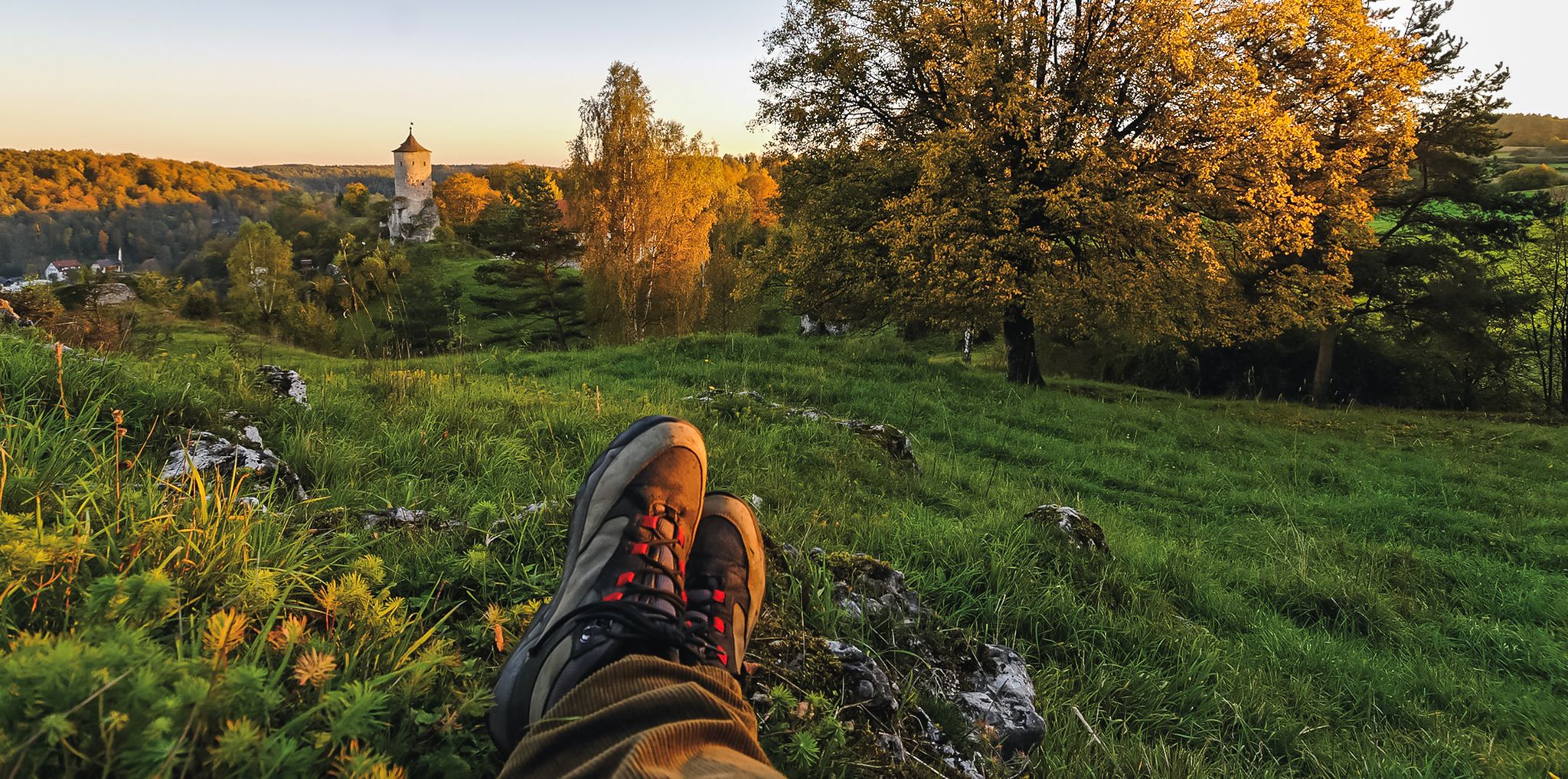
Breweries, hops & beer – Four days hiking in Franconian Switzerland
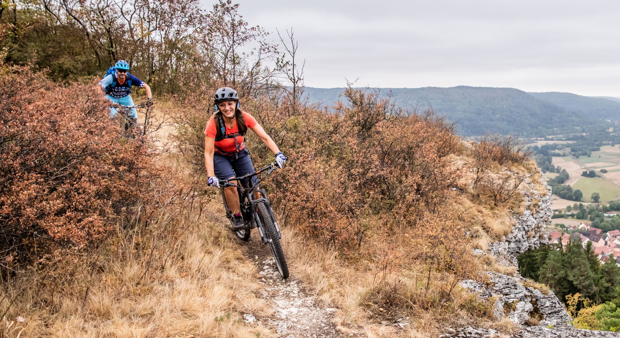
Castles, mountains, beer & trails – bikepacking in Franconian Switzerland

Hike & Beer in Franconia and Upper Palatinate — the VGN leisure tips
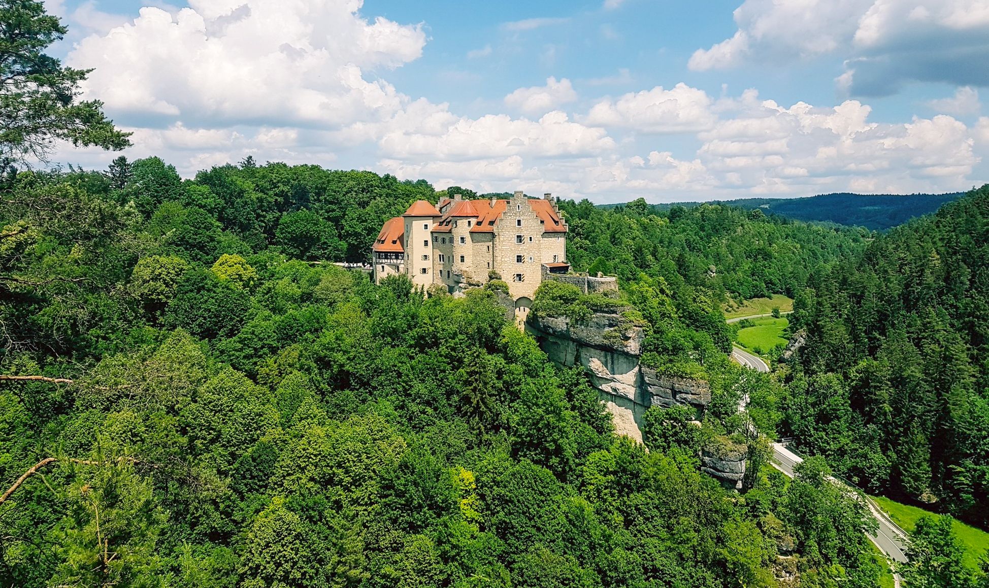
Hikes for tiny boots – VGN recreational activities for families
Other adventures in Wiesent-Tal Mit Seitentälern


Tips from the Community

The rocky path to the 🏰 is also absolutely impressive. A very beautiful castle and, in winter, also romantically illuminated.
8
0

We can only recommend stopping here and the restaurant is perfect for cyclists.
0
0

Located directly on the hiking trail.
0
0

Great cave... as I later discovered on a sign, as big as a beer mat, away from the cave... reserved for bats in the winter months... the sign could be better positioned
10
0
Please note the opening hours… Check out www.
8
0
Crossing the Wiesent and changing sides of the valley.
0
0
Completely overgrown in summer.
0
0

Frequently Asked Questions
How many mountaineering routes are available in Wiesent-Tal Mit Seitentälern?
Wiesent-Tal Mit Seitentälern offers a diverse network of over 25 mountaineering routes. These trails cater to various skill levels, from moderate ascents to more challenging climbs, all set within the region's wild rock massifs and deep rock gorges.
Are there any easy mountaineering routes suitable for beginners?
Yes, the region provides several easier options. There are 6 routes classified as easy, perfect for those new to mountaineering or looking for a less strenuous experience. These trails still offer the beautiful scenery of Franconian Switzerland without demanding significant elevation gain.
What kind of terrain can I expect on mountaineering routes in Wiesent-Tal Mit Seitentälern?
The terrain is characterized by wild rock massifs, bizarre rock formations, and idyllic valleys carved by the Wiesent River. You'll encounter deep rock gorges, mixed forests, and steep rock faces, providing a varied and engaging experience. The region is known as one of Germany's top climbing areas, often called the 'rockiest region outside the Alps'.
Are there any circular mountaineering routes?
Yes, many routes in the region are circular. For example, the Kuchenmühle in the Aufseß Valley – Hohes Kreuz Observation Tower loop from Doos is a moderate 8.6-mile trail offering varied terrain and views. Another option is the Gößweinstein Castle – Gößweinstein Rock Trail loop from Burggaillenreuth, which is 7.2 miles long.
What are some notable natural landmarks or viewpoints along the routes?
The region is rich in natural landmarks. You can explore fascinating caves like the Oswald Cave or the impressive Riesenburg Collapse Cave. For panoramic views, consider routes that pass by the View over the Wiesent Valley or the Adlerstein, a famous viewpoint rock above Engelhardsberg.
Are there any historical sites to see while mountaineering?
Yes, the region blends natural beauty with historical interest. You can find historical sites such as the Ruins of Neideck Castle and Streitburg, which add a cultural dimension to your outdoor excursions. Some routes, like the Sachsenmühle Beer Garden – Cycle Path Along the Wiesent loop from Gößweinstein, might pass by such points of interest.
What do other mountaineers enjoy most about the routes here?
The routes in Wiesent-Tal Mit Seitentälern are highly rated by the komoot community, with an average score of 4.75 stars. Reviewers often praise the diverse landscape, from mixed forests to steep rock faces, and the well-maintained network of hiking trails. The unique geological formations and the challenge of the terrain are frequently highlighted.
Are there any challenging routes for experienced mountaineers?
Absolutely. For those seeking a significant challenge, the region offers difficult routes with substantial elevation gain. An example is the Hohes Kreuz Observation Tower – Riesenburg Collapse Cave loop from Muggendorf, a 14.2-mile trail that typically takes over 7 hours to complete and features nearly 800 meters of ascent.
Can I find family-friendly mountaineering options?
While many routes involve rugged terrain, some are more suitable for families. Look for routes with lower difficulty ratings and shorter distances. The region's exemplary maintained network of hiking trails ensures that even less challenging paths are enjoyable and safe for a family outing.
Is there public transport access to the trailheads?
The region is well-connected, but specific public transport options to individual trailheads can vary. It's advisable to check local bus schedules or regional train connections to towns like Muggendorf or Gößweinstein, which serve as good starting points for many routes. From there, some trailheads might be accessible by foot or short local bus rides.
What is the best time of year for mountaineering in Wiesent-Tal Mit Seitentälern?
The spring and autumn months generally offer the most pleasant conditions for mountaineering, with milder temperatures and beautiful foliage. Summer is also popular, but routes can be busier, and it's essential to stay hydrated. Winter mountaineering is possible but requires appropriate gear and caution due to potentially icy conditions on rock faces and trails.
Are there places to eat or stay near the mountaineering routes?
Yes, the region has various options for refreshments and accommodation. Towns and villages nestled in the valleys, such as Muggendorf or Gößweinstein, offer cafes, pubs, and guesthouses where you can refuel and relax after your mountaineering adventures. Many routes pass close to these amenities.
Most popular routes in Wiesent-Tal Mit Seitentälern
Most popular attractions in Wiesent-Tal Mit Seitentälern

Get inspired with the komoot mobile app


Explore more
Browse the best Mountain Hikes & Routes in other regions.
