The best walks and hikes in Wiesent-Tal Mit Seitentälern
4.6
(29324)
106,486
hikers
958
hikes
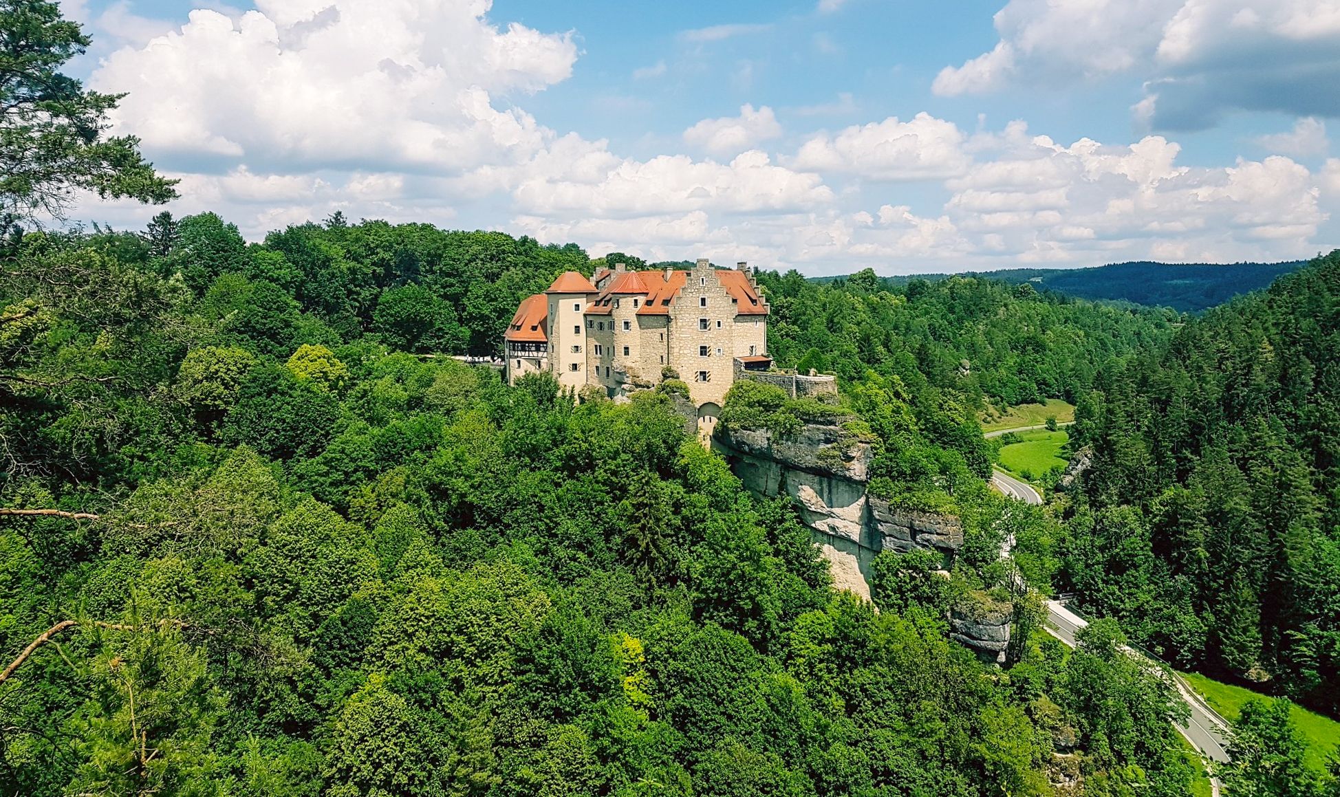
Hiking trails in Wiesent-Tal Mit Seitentälern traverse a diverse landscape within Franconian Switzerland, characterized by wooded hills, gentle river courses, and impressive rock formations. The region features a dramatic karst landscape with limestone cliffs and the meandering Wiesent river. Hikers can explore a variety of natural habitats, including grasslands, forests, and unique geological features.
Best hiking trails in Wiesent-Tal Mit Seitentälern
- The most popular hiking route is Valley and uplands hike, a 6.9 miles (11.1 km) moderate trail that…
Last updated: July 9, 2026
4.5
(315)
1,079
hikers
11.1km
03:03
180m
180m
Moderate hike. Good fitness required. Easily-accessible paths. Suitable for all skill levels.
4.3
(263)
905
hikers
13.0km
03:42
300m
300m
Moderate hike. Good fitness required. Easily-accessible paths. Suitable for all skill levels.

Sign up for free
4.8
(1332)
4,692
hikers
13.1km
03:58
430m
430m
Moderate hike. Good fitness required. Easily-accessible paths. Suitable for all skill levels.
4.7
(129)
421
hikers
6.09km
01:41
110m
110m
Moderate hike. Great for any fitness level. Mostly accessible paths. Sure-footedness required.
4.7
(932)
3,324
hikers
10.7km
03:04
220m
220m
Moderate hike. Good fitness required. Mostly accessible paths. Sure-footedness required.
Get access to more routes and recommendations from other explorers.
Sign up for free
Already have an account?
Our route recommendations are based on thousands of hikes, rides, and runs completed by other people on komoot.
Start today with a free account
Your next adventure awaits.
Login or Signup
Popular around Wiesent-Tal Mit Seitentälern
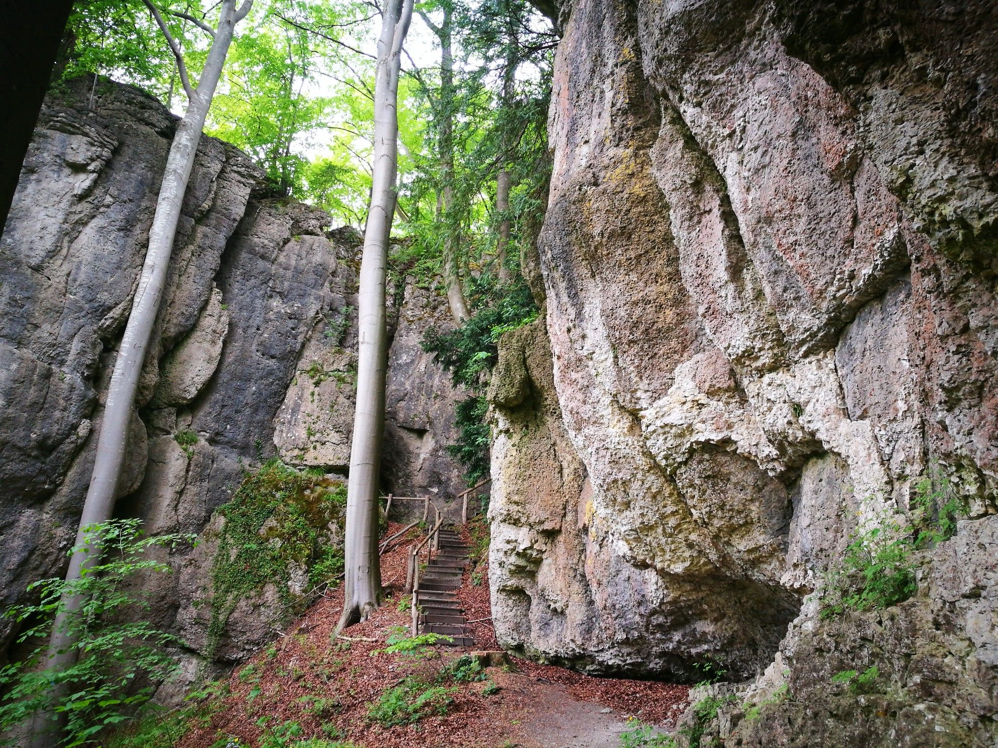
Forests, rocks and castles – 5-day circular through Franconian Switzerland

The National Natural Landscapes in Bavaria
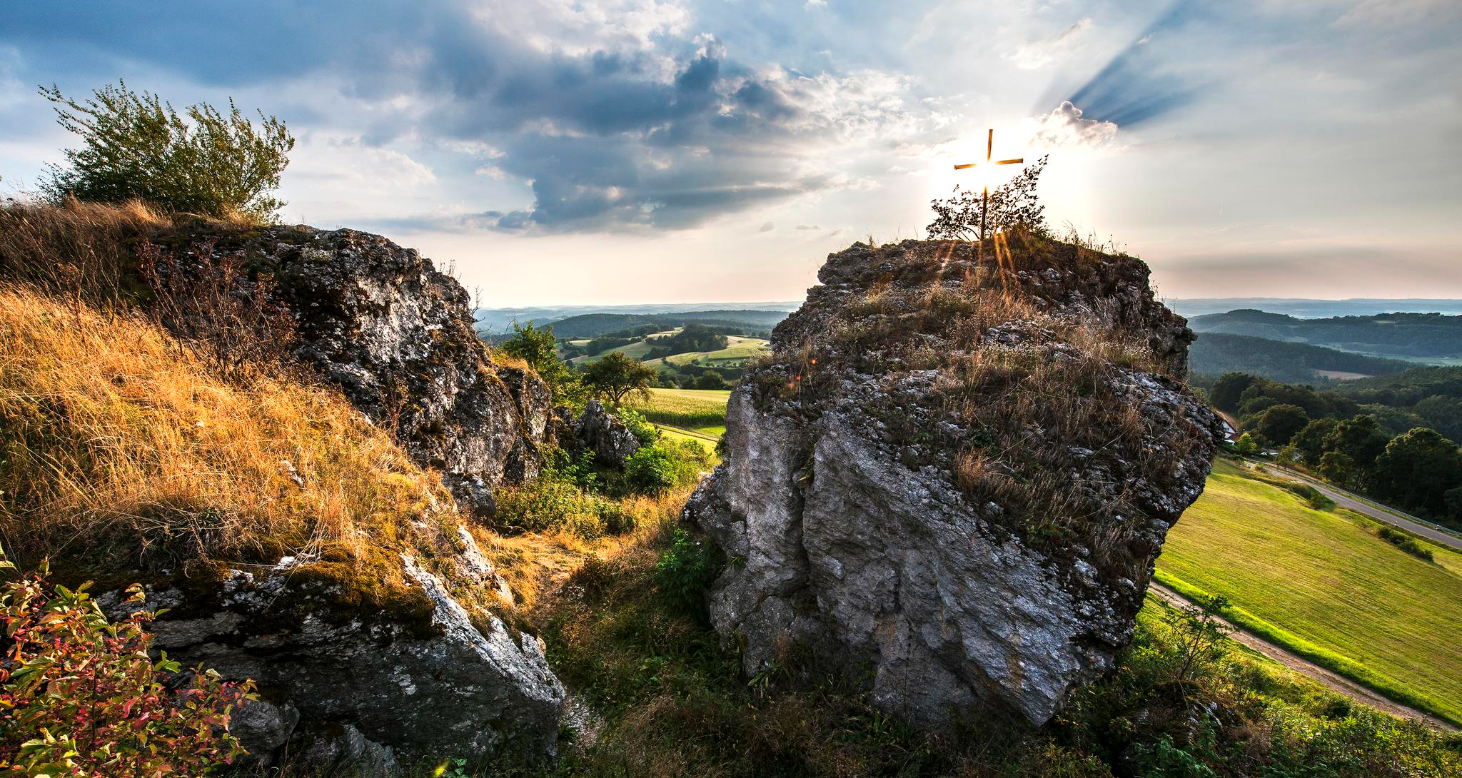
Fun hiking and wonderful views in Franconian Switzerland
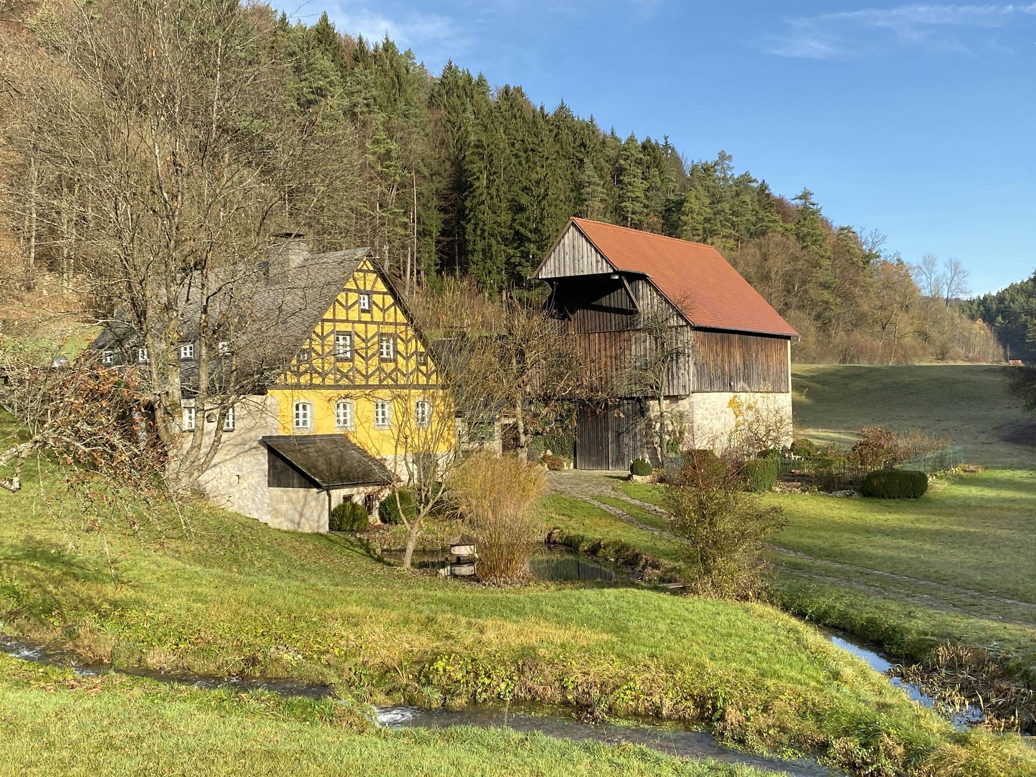
From the view to the Seidla – Nature and BeerEnjoyment in the Franconian Switzerland

The Franconian Trail – A Diverse Hiking Dream Across 24 Stages
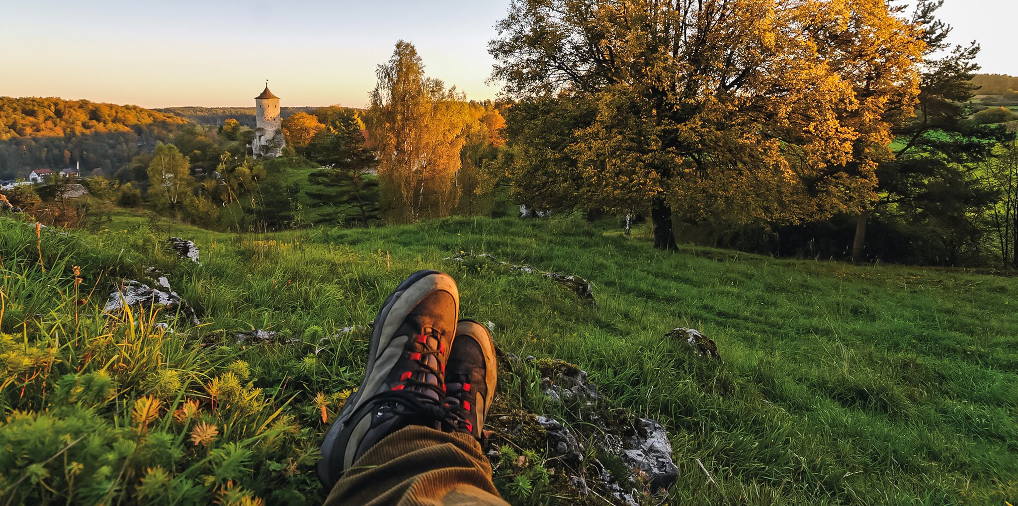
Breweries, hops & beer – Four days hiking in Franconian Switzerland

Hike & Beer in Franconia and Upper Palatinate — the VGN leisure tips
Hikes for tiny boots – VGN recreational activities for families
Franconian Switzerland — on the trace of the Purity Law
Delightful hiking in Franconian Switzerland
Other adventures in Wiesent-Tal Mit Seitentälern


Tips from the Community

Between Pretzfeld and the Pretzfelder Keller, in the middle of the cherry growing area, stands a beautiful little chapel, directly on the Pretzfelder Kirschenweg
0
0

Don't forget your flashlight, and it's best to set off early so you have more time for the hells.
0
0

From November 9, 2025, the cave will be in winter mode, meaning it will only be open on Sundays. Guided tours will take place on Sundays at the following fixed times: 11:00 AM, 12:20 PM, 1:40 PM, and 3:00 PM. Between December 26 and January 6, the cave will be open daily at the same tour times.
8
0
Tüchersfeld is the typical Franconian "showcase town" with its striking rocks and the location of the half-timbered houses, which in some cases seem to be glued to the rocks.
9
0

The Bayreuth–Hollfeld railway line was a branch line. It branched off the Schnabelwaid–Bayreuth railway line at the Kreuzstein junction in Bayreuth and led to Hollfeld in northern Franconian Switzerland.
1
0

Brilliant, there's a slightly hidden outhouse here 😊 I really think it's a luxury 😃👍🏻
0
0

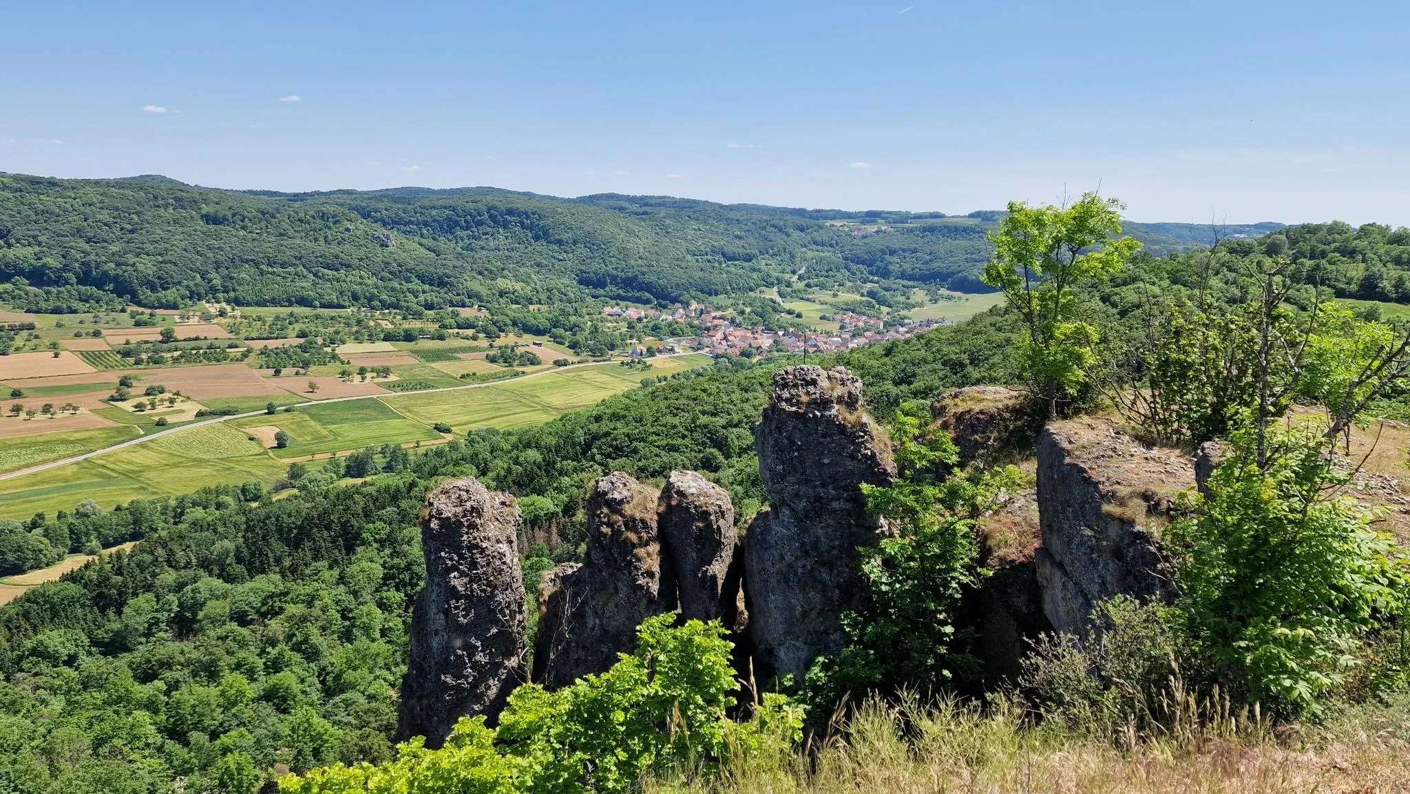
A great rock with a beautiful view of the valley. Especially recommended in spring and summer.
1
0

Always follow the path along the edge of the "Hohlen Berg" upwards, past some beautiful spots, you reach the striking rock needle with a view down into the Wiesenttal 🏔
1
0
Frequently Asked Questions
What kind of terrain can I expect on hiking trails in Wiesent-Tal Mit Seitentälern?
The region features a diverse landscape characterized by wooded hills, gentle river courses, and impressive karst rock formations. You'll encounter limestone cliffs, the meandering Wiesent river, and various natural habitats including grasslands, forests, and unique geological features like caves and sinter terraces. Trails can range from valley floors to elevated sections.
Are there easy hiking trails suitable for beginners in Wiesent-Tal Mit Seitentälern?
Yes, Wiesent-Tal Mit Seitentälern offers a good selection of easier routes. Out of nearly 1000 total tours, approximately 350 are rated as easy, making them suitable for beginners or those looking for a less strenuous walk. These often follow the Wiesent river or explore gentler forest paths.
Can I find trails that lead to caves or unique rock formations?
Absolutely. The region is famous for its accessible caves and spectacular rock formations. Many trails lead to sites like the Binghöhle in Streitberg, known for its sinter formations, or the Quackenschloss and Riesenburg rock formations. The Oswald Cave – Rock Gate in the Forest loop from Muggendorf is one such route that explores notable rock features.
Are there any waterfalls or lakes to see along the hiking routes?
Yes, the area features several beautiful water-related highlights. You can find natural monuments like the Sinter terraces and waterfall on the Wasserwiesenbach or the Weißenbach Sinter Terraces. For lakes, consider visiting the Heiligenstadt Natural Swimming Lake or the Heiligenstadt Lake, which are popular spots in the region.
What historical landmarks or castles can I explore while hiking?
The region is dotted with historical sites. You can discover ancient castle ruins like the Burgruine Neideck and Burgruine Streitburg, which offer panoramic views. Some routes, like the 'Schlösserrunde' mentioned in regional research, connect castles such as Wiesentfels and Freienfels, providing a blend of nature and history.
Are there family-friendly hiking options in Wiesent-Tal Mit Seitentälern?
Yes, many trails are suitable for families. The diverse landscape with its caves, rock formations, and gentle river paths offers engaging experiences for all ages. Look for routes marked as 'easy' or 'moderate' for suitable family outings, often with less elevation gain and shorter distances.
Can I bring my dog on the hiking trails in Wiesent-Tal Mit Seitentälern?
Generally, dogs are welcome on hiking trails in Wiesent-Tal Mit Seitentälern. However, it's always advisable to keep your dog on a leash, especially in nature reserves, near wildlife, or in agricultural areas. Please be mindful of local regulations and ensure your dog is well-behaved around other hikers and animals.
What is the best time of year to go hiking in this region?
The Wiesent-Tal Mit Seitentälern is beautiful throughout much of the year. Spring brings blooming wildflowers, while summer offers lush greenery and pleasant temperatures. Autumn is particularly scenic with vibrant fall foliage. While winter hiking is possible, some paths might be slippery or less accessible, so check conditions beforehand.
Are there circular hiking routes available?
Yes, many of the trails in Wiesent-Tal Mit Seitentälern are designed as circular routes, allowing you to start and end at the same point without retracing your steps. An example is the Erdgeschichte erwandern – Rundtour in der Fränkischen Schweiz, which offers a loop experience.
What do other hikers say about the trails in Wiesent-Tal Mit Seitentälern?
The hiking trails in Wiesent-Tal Mit Seitentälern are highly regarded by the komoot community, with an average rating of 4.6 stars from over 21,000 reviews. Hikers often praise the varied terrain, the stunning karst landscapes, the well-maintained paths, and the blend of natural beauty with historical sites like castle ruins and unique rock formations.
Is public transport an option to reach trailheads in Wiesent-Tal Mit Seitentälern?
Public transport options are available to reach various towns and villages within the Wiesent-Tal Mit Seitentälern, which serve as starting points for many trails. It's recommended to check local bus schedules and connections to plan your journey to specific trailheads, as service frequency can vary.
Where can I find parking for hiking trails in Wiesent-Tal Mit Seitentälern?
Designated parking areas are typically available in or near the villages that serve as starting points for popular hiking routes, such as Muggendorf or Streitberg. Look for signs indicating 'Wanderparkplatz' (hiker parking). Some smaller trailheads might have limited parking, so arriving early is advisable, especially on weekends.
Most popular routes in Wiesent-Tal Mit Seitentälern
Most popular attractions in Wiesent-Tal Mit Seitentälern

Get inspired with the komoot mobile app


Explore more
Browse the best Hikes in other regions.
