The 15 Most Amazing Peaks in Naturpark Altmühltal
Best mountain peaks in Naturpark Altmühltal are characterized by diverse landscapes, including rolling hills, dramatic rock formations, and meandering rivers. These elevated points offer geological insights, historical context, and panoramic views across Bavaria, Germany. The region features prominent elevations that are significant natural and historical sites. Visitors can explore a variety of terrains, from ancient fortified settlements to unique geological formations.
Best mountain peaks in Naturpark Altmühltal
- The most popular mountain peaks is Summit cross on the Schellenberg, a…
Last updated: July 5, 2026
Harburg Castle
Highlight • Castle
Translated by Google •
Tip by

Summit cross on the Schellenberg
Highlight • Viewpoint
Translated by Google •
Tip by

Sign up now to discover places like this
Get recommendations on the best single tracks, peaks, & plenty of other exciting outdoor places.
Sign up for free
Teufelsfelsen Take-off Ramp and View over the Altmühl Valley
Highlight • Viewpoint
There is a legend that on the rock once a monastery is said to have been destroyed by the devil. …
Translated by Google •
Tip by

Bschütt-Berg (Eichstätt Matterhorn)
Highlight • Monument
The …
Translated by Google •
Tip by

Gelber Berg (Gelbe Bürg) Viewpoint
Highlight • Viewpoint
A map shows the directions with prominent sights.
Translated by Google •
Tip by

Sign up for free to discover even more peaks in Naturpark Altmühltal.
Sign up for free
Already have an account?
Start today with a free account
Your next adventure awaits.
Login or Signup
Popular around Naturpark Altmühltal

Augsburger Jakobsweg – Through Bavarian-Swabia

The Romantic Road – To the Pearls of Southern Germany
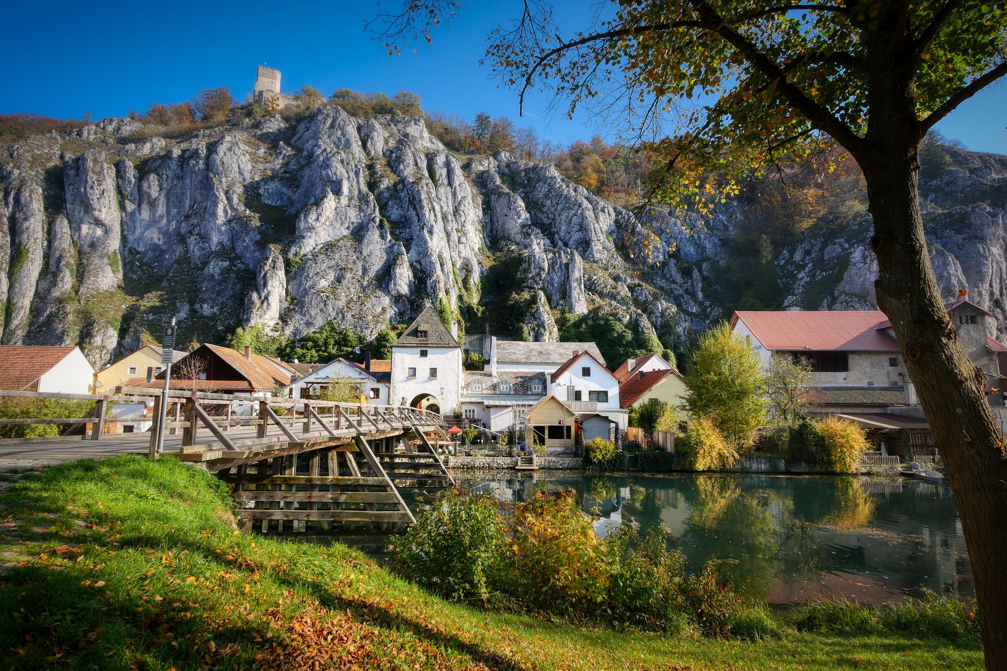
Jurasteig — hiking in the heart of Bavaria
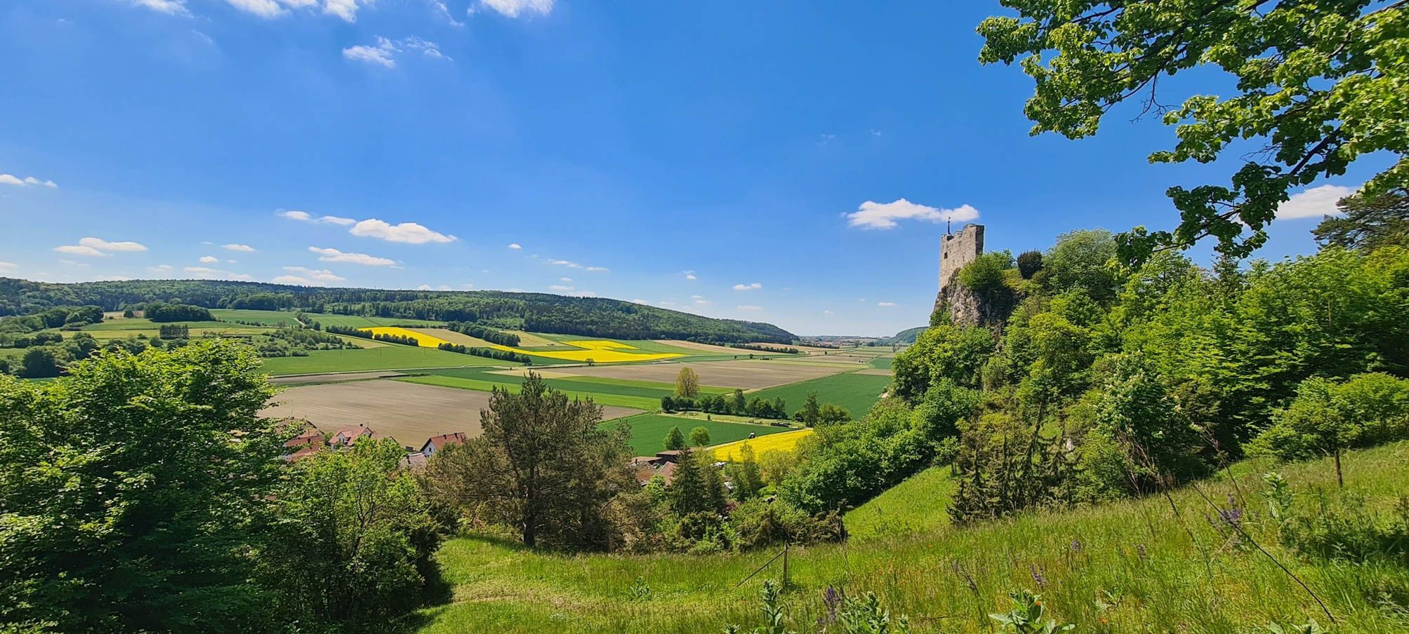
Urdonautalsteig – Hiking through past times

German Limes Cycle Path – Riding from the Rhine to the Danube
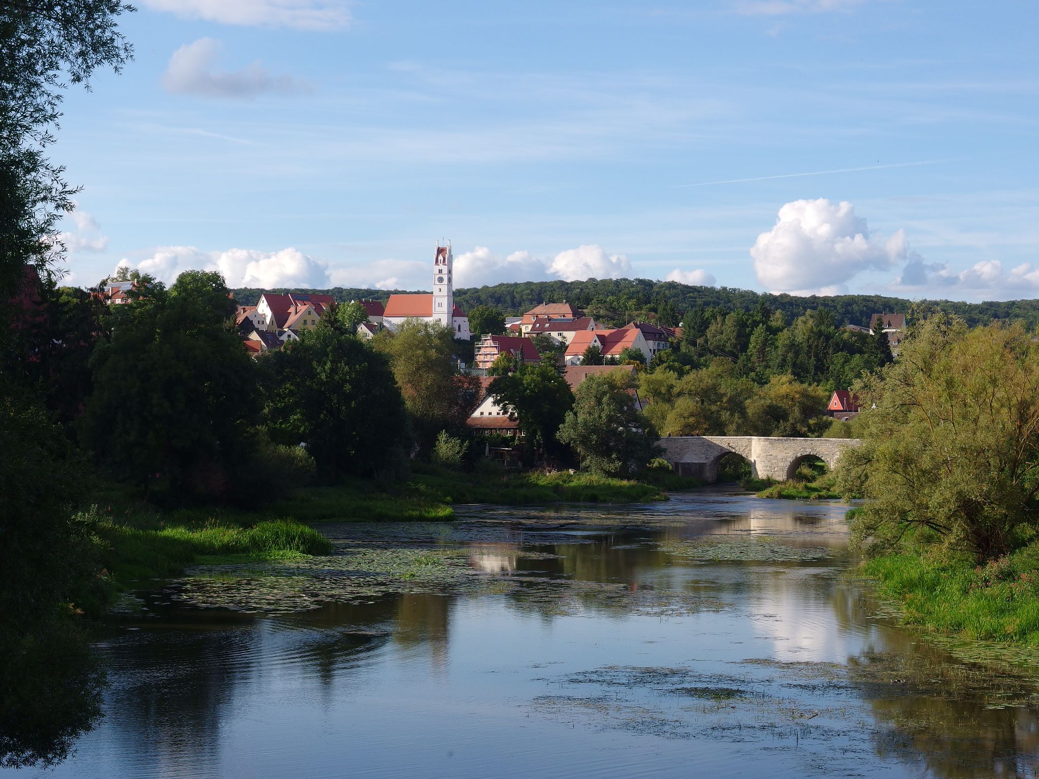
The Romantic Road – 10 fabulous stages
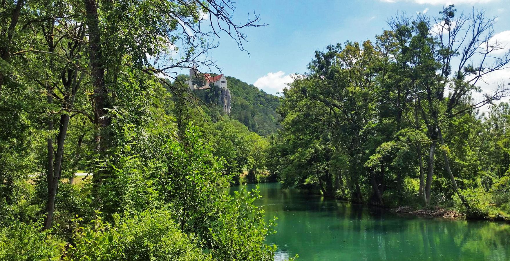
Five Rivers Cycle Path — 5 stages along Bavaria's most beautiful rivers
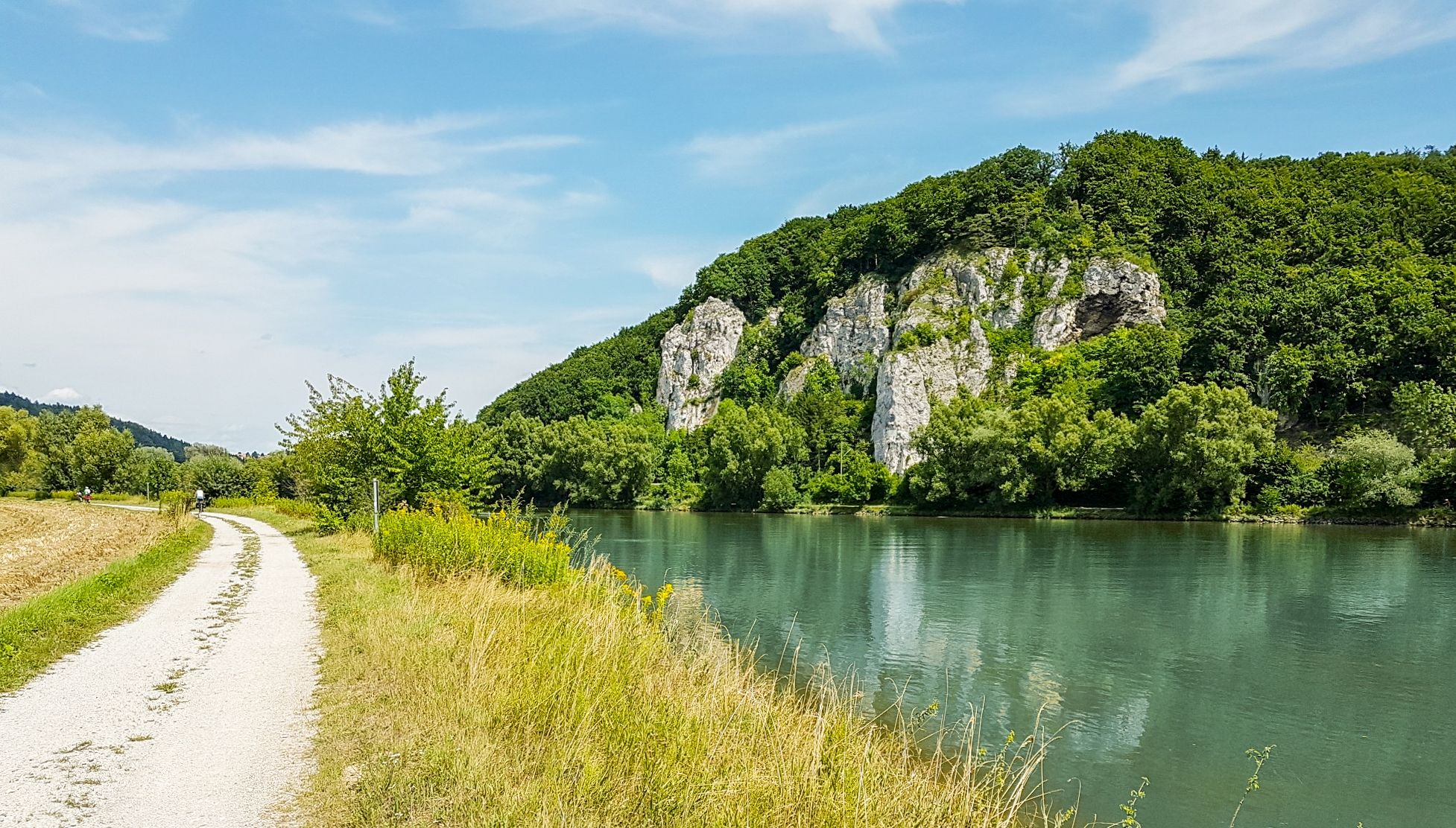
Donau-Panoramaweg – 10 days nature views and cultural insights
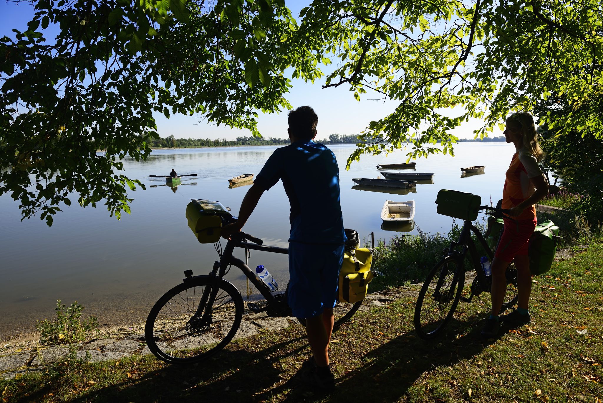
Niederbayerntour in 7 stages — Swim trunks, beer, baroque
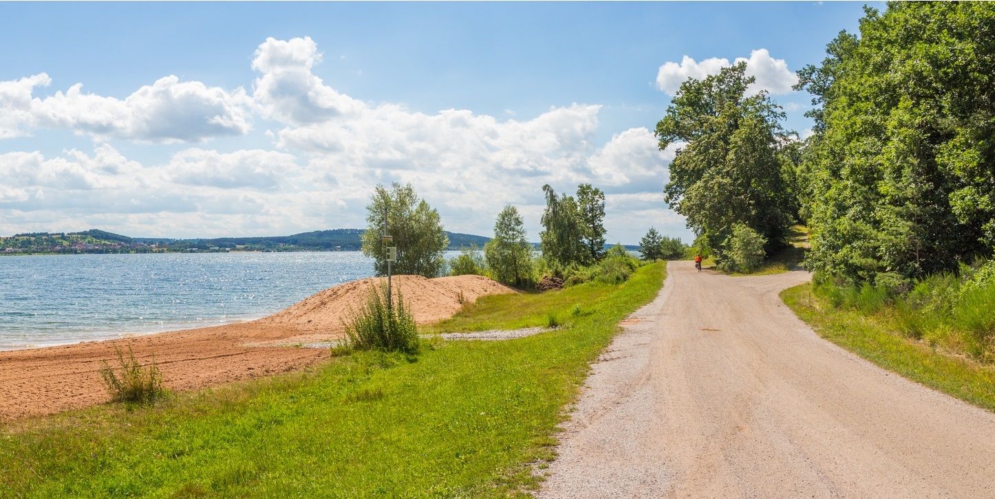
The Franconian Water Bike Path – 8 days of creeks, lakes & rivers
Other adventures in Naturpark Altmühltal


Tips from the Community

When coming up the wide path, you encounter a prohibition sign including a provisional "barrier" (see picture). Unfortunately, I did not find a summit book, as reported here.
0
0

And there is a summit book like on a "real" mountain.
1
0

There is a free telescope to see the surroundings in more detail, several places to sit and a great view. A map shows the directions with prominent sights.
11
0
There is a free telescope to see the surroundings in more detail, several places to sit and a great view. A map shows the directions with notable sights. The Hesselberg (the highest elevation in Middle Franconia), the Altmühlsee and the Brombachsee are listed. But the small towns with their church towers also fit together wonderfully to create a wonderful panorama.
9
0

The so-called Eichstätter Matterhorn is probably the highest slag heap in Eichstätt and is clearly visible as it is the only slag heap with a summit cross around Eichstätt. The B Schütt mountain, whose summit is at 574 meters, is probably one of the most striking slag heaps in the Jura. The Matterhorn reflects an important part of Eichstätter's mining and quarrying history. It was initially piled up without permission as part of the mining of limestone on the Jura. Approval was finally granted retrospectively in the early 2000s. From the summit of the Eichstätter "Matterhorn" you can see the Zugspitze massif when the weather is clear.
4
0

The summit cross on the Schellenberg can be easily reached via the demanding Keltensteig near Enkering. The fantastic view rewards the climb, there is also some seating.
29
0
The castle was a highlight for me, it is located on the outskirts of Harburg, the mighty castle complex can only amaze you, with individual use, including a hotel for festivities or guided tours. Entry prices start at €3.50.
6
0

From the Schellenberg you have a very nice view of the Anlautertal.
9
0
Frequently Asked Questions
What are some of the most popular viewpoints in Naturpark Altmühltal?
The Naturpark Altmühltal offers several stunning viewpoints. Among the most popular are the Summit cross on the Schellenberg, which provides expansive views of the Altmühltal valley, and the Gelber Berg (Gelbe Bürg) Viewpoint, offering panoramic vistas of the Gunzenhausen Plain and the Franconian Lake District. Another favorite is the Teufelsfelsen Take-off Ramp and View over the Altmühl Valley, known for its dramatic outlook and as a hang-gliding launch site.
Are there any mountain peaks in Naturpark Altmühltal with significant historical importance?
Yes, the Schellenberg near Kinding is particularly rich in history. It boasts evidence of human settlement dating back over 7,000 years to the Neolithic period, including remains of an Urnfield-era ring wall fortification. An archaeological educational trail explores these ancient sites, making it a fascinating destination for history enthusiasts.
What unique geological features can I explore among the peaks of Naturpark Altmühltal?
The region is renowned for its geological formations. The Twelve Apostles near Solnhofen are iconic dolomite rock formations, remnants of a Jurassic Sea reef belt formed millions of years ago. The Arnsberger Leite also features impressive dolomite rock formations and steep slopes, showcasing the area's ancient geological past.
Are there family-friendly hiking options around the mountain peaks in Naturpark Altmühltal?
Many trails in Naturpark Altmühltal are suitable for families, offering varying levels of difficulty. While specific 'family-friendly' categories aren't always assigned to individual peaks, the general hiking routes in the region, such as those found in the Hiking in Naturpark Altmühltal guide, often include easier sections or circular walks that are enjoyable for all ages. For example, the areas around the Twelve Apostles are accessible and offer scenic walks.
What kind of outdoor activities can I do near the mountain peaks in Naturpark Altmühltal?
Beyond hiking, the Naturpark Altmühltal offers a variety of outdoor activities. You can find numerous running trails, such as the 'Reisberg Summit – Reisberg near Lippertshofen loop', detailed in the Running Trails in Naturpark Altmühltal guide. For cyclists, there are extensive gravel biking routes, including the 'Solnhofer Platten-Runde', which you can explore in the Gravel biking in Naturpark Altmühltal guide.
Where can I find panoramic views of the Altmühltal and surrounding areas?
For extensive panoramic views, the Teufelsfelsen Take-off Ramp and View over the Altmühl Valley near Riedenburg is an excellent choice, offering vistas over Lake St. Agatha and the Main-Danube Canal. The Bschütt-Berg (Eichstätt Matterhorn) also provides broad views over Eichstätt and the surrounding landscape, and on clear days, you might even spot the Zugspitze massif.
Are there any nature reserves or areas with special flora and fauna near the peaks?
Yes, the Arnsberger Leite, located between Arnsberg and Böhming, is a designated nature reserve. It's known for its unique vegetation, including juniper bushes and sparse forests, and harbors rare plant species. The area also features a grazing project with Angora goats to maintain its steppe heath, making it a rich spot for nature observation.
What is the 'Eichstätter Matterhorn' and what makes it unique?
The 'Eichstätter Matterhorn' is the local name for Bschütt-Berg, a prominent elevated point near Eichstätt. What makes it unique is its origin: it's the highest spoil heap in the vicinity, a testament to Eichstätt's mining and quarrying history. Now reclaimed by nature and marked with a summit cross, it offers distinct panoramic views over the town and surrounding landscape.
Can I observe unique activities like hang-gliding from any of the peaks?
Absolutely! The Teufelsfelsen Take-off Ramp and View over the Altmühl Valley near Riedenburg is a well-known launch site for hang-gliders. Visitors can enjoy the spectacle of gliders taking off, especially on days with good wind conditions, adding an exciting dimension to the scenic views.
What are some notable hiking trails that pass by these prominent elevated points?
The Altmühltal Panorama Trail is a key route that connects many of the region's highlights. It leads directly past impressive natural monuments like the Twelve Apostles and through the diverse ecosystem of the Arnsberger Leite. Additionally, the demanding Keltensteig near Enkering provides access to the Summit cross on the Schellenberg.
What do visitors particularly enjoy about the mountain peaks in Naturpark Altmühltal?
Visitors frequently appreciate the combination of natural beauty, historical significance, and the diverse views offered by the peaks. The opportunity to explore ancient settlements, witness unique geological formations, and enjoy breathtaking panoramas, often with the Altmühl river winding through the landscape, makes these elevated points highly rewarding. The komoot community has contributed over 410 photos and given more than 370 upvotes to the various highlights in the region, reflecting widespread enjoyment.
Most popular routes in Naturpark Altmühltal
Most popular attractions in Naturpark Altmühltal

Get inspired with the komoot mobile app


Explore more
See even more amazing summits in Naturpark Altmühltal with these guides:
