The best mountain hikes in Naturpark Altmühltal
4.3
(85)
401
hikers
18
hikes
Mountaineering routes in Naturpark Altmühltal traverse a landscape shaped by ancient geological history, featuring prominent limestone and dolomite rock formations. The region is characterized by steep calcareous rocks and diverse rock formations, providing varied terrain for mountaineering. River valleys and juniper heathlands also contribute to the scenic environment, offering a mix of challenges and views. This large nature park in Bavaria, Germany, presents a network of trails suitable for exploring its unique geological features.
Best mountaineering routes in Naturpark Altmühltal
…Last updated: July 5, 2026
4.4
(35)
145
hikers
6.86km
02:21
180m
170m
Hard mountaineering route. Good fitness required. Sure-footedness, sturdy shoes and alpine experience required.
4.4
(30)
127
hikers
7.10km
02:25
190m
190m
Hard mountaineering route. Good fitness required. Sure-footedness, sturdy shoes and alpine experience required.

Sign up for free
4.0
(1)
11
hikers
11.6km
03:30
310m
310m
Hard mountaineering route. Good fitness required. Sure-footedness, sturdy shoes and alpine experience required.
5.0
(2)
14
hikers
6.71km
02:08
90m
100m
Hard mountaineering route. Good fitness required. Sure-footedness, sturdy shoes and alpine experience required.
3.0
(2)
9
hikers
2.26km
00:50
80m
80m
Hard mountaineering route. Great for any fitness level. Sure-footedness, sturdy shoes and alpine experience required.
Get access to more routes and recommendations from other explorers.
Sign up for free
Already have an account?
Our route recommendations are based on thousands of hikes, rides, and runs completed by other people on komoot.
Start today with a free account
Your next adventure awaits.
Login or Signup
Popular around Naturpark Altmühltal

Augsburger Jakobsweg – Through Bavarian-Swabia

The Romantic Road – To the Pearls of Southern Germany
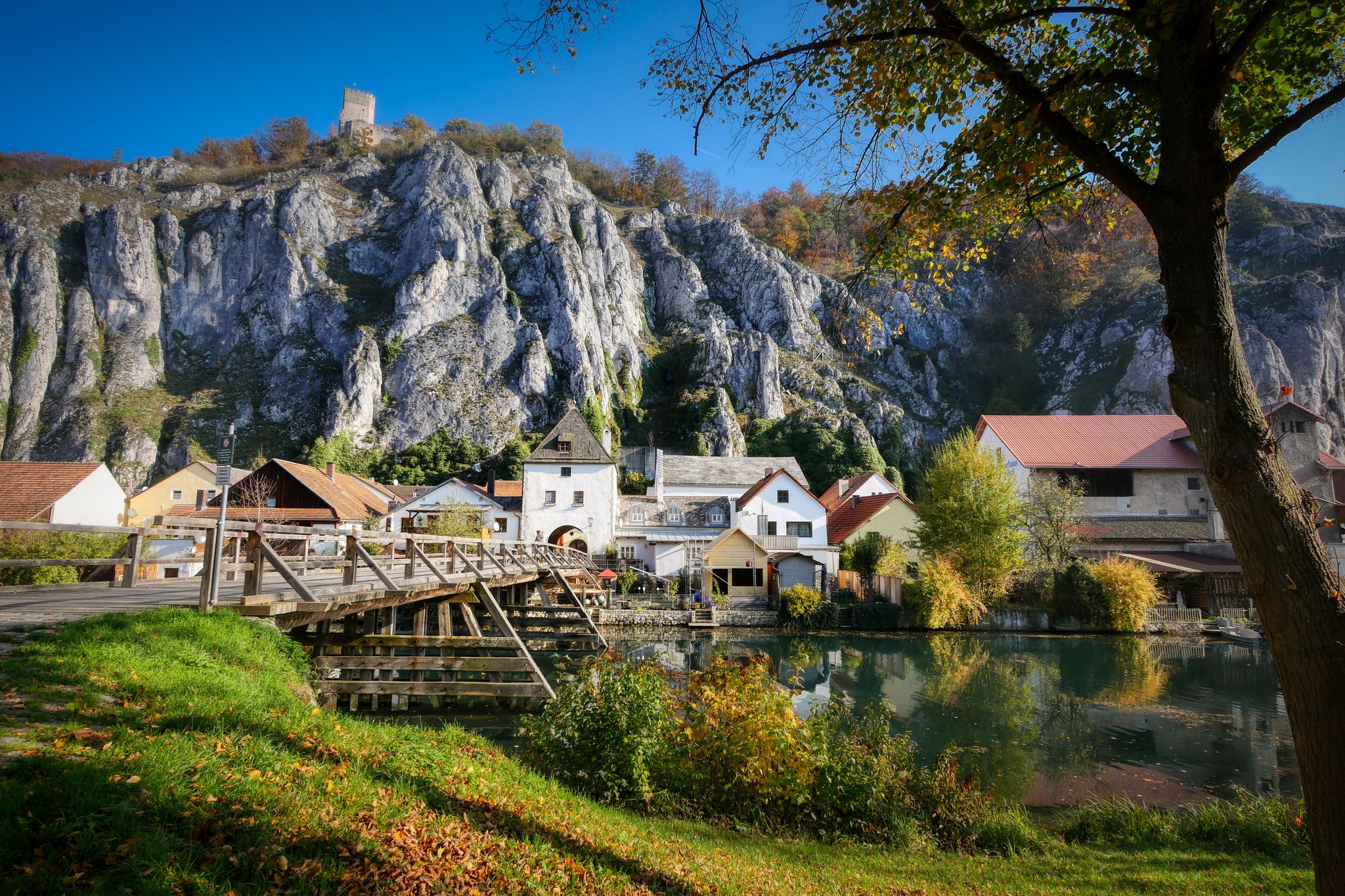
Jurasteig — hiking in the heart of Bavaria
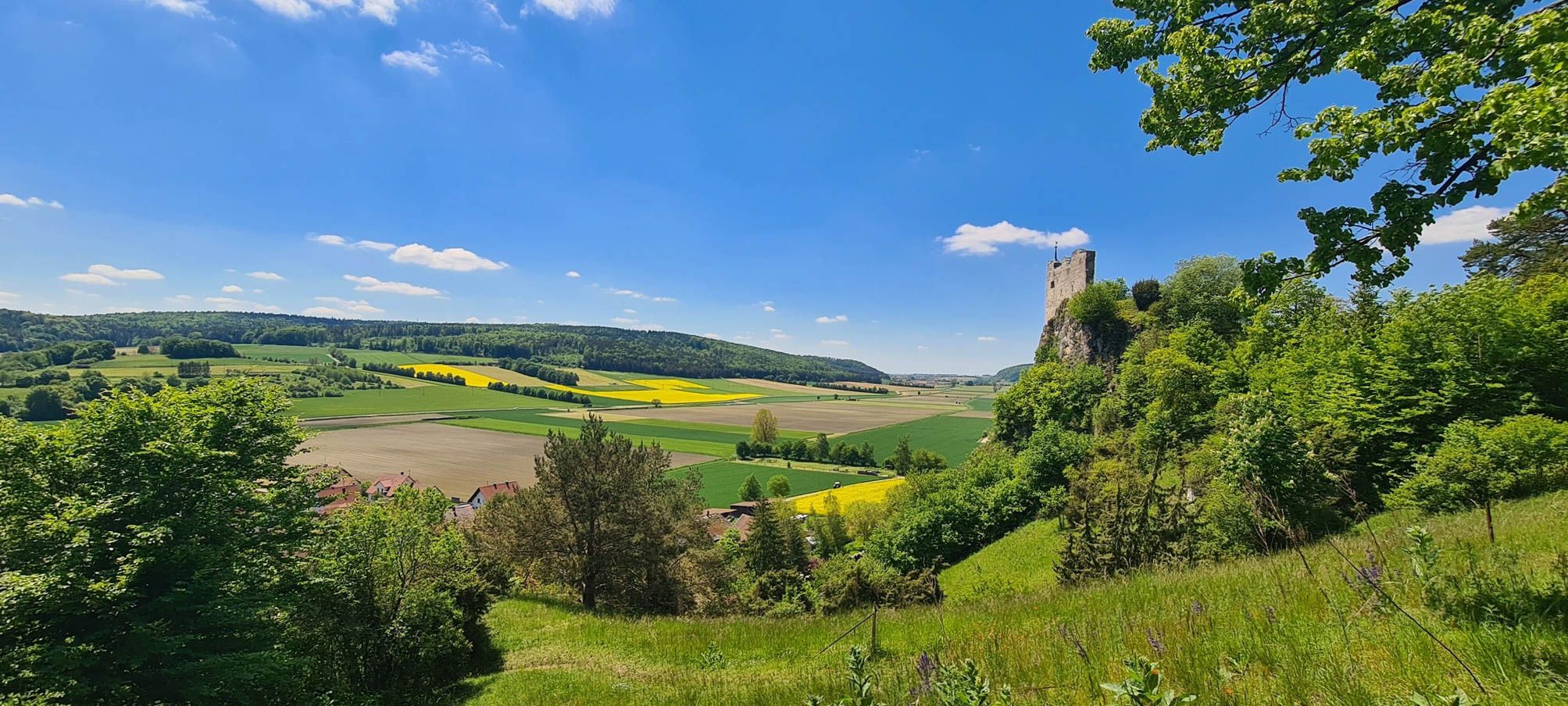
Urdonautalsteig – Hiking through past times

German Limes Cycle Path – Riding from the Rhine to the Danube
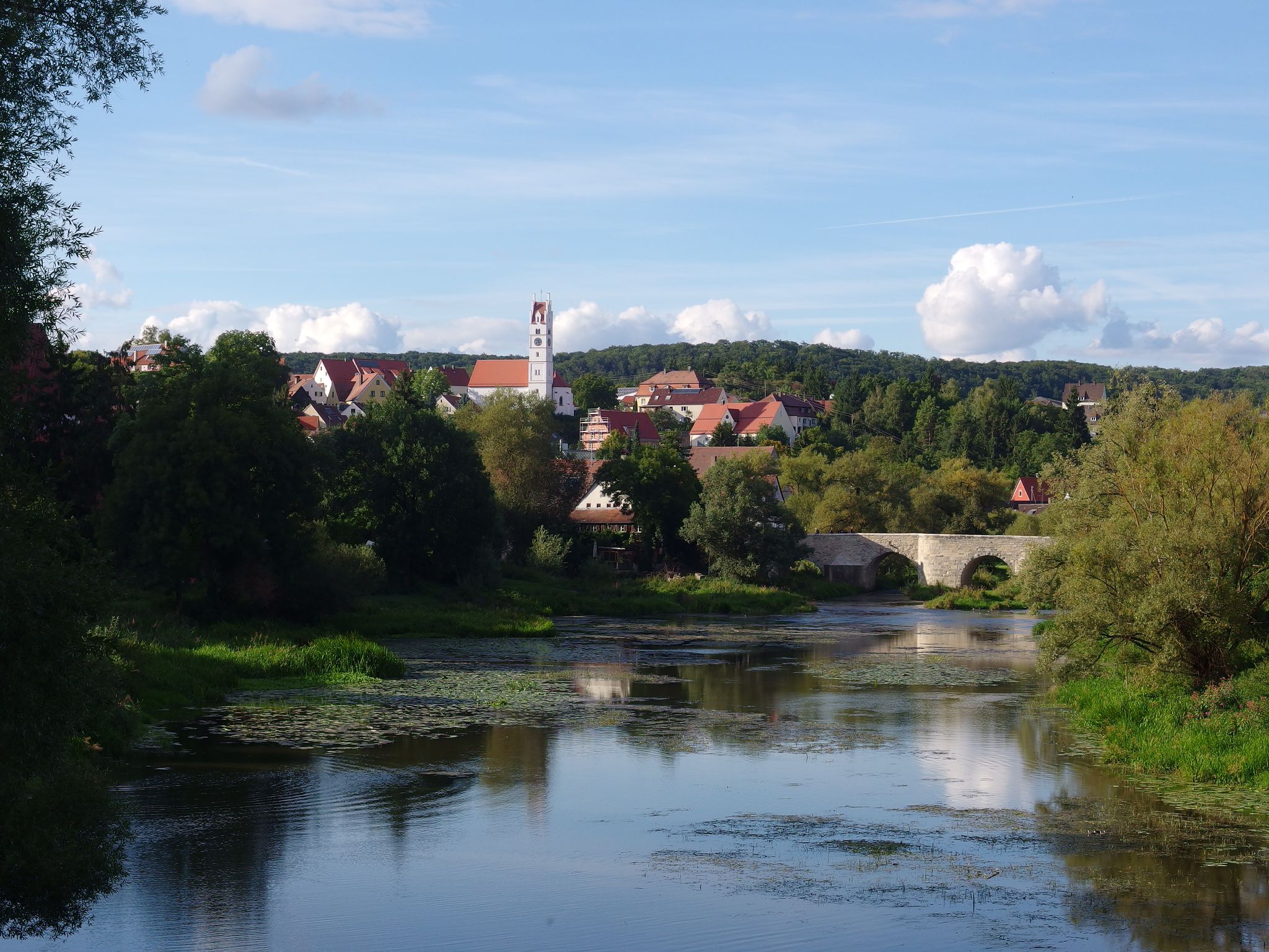
The Romantic Road – 10 fabulous stages
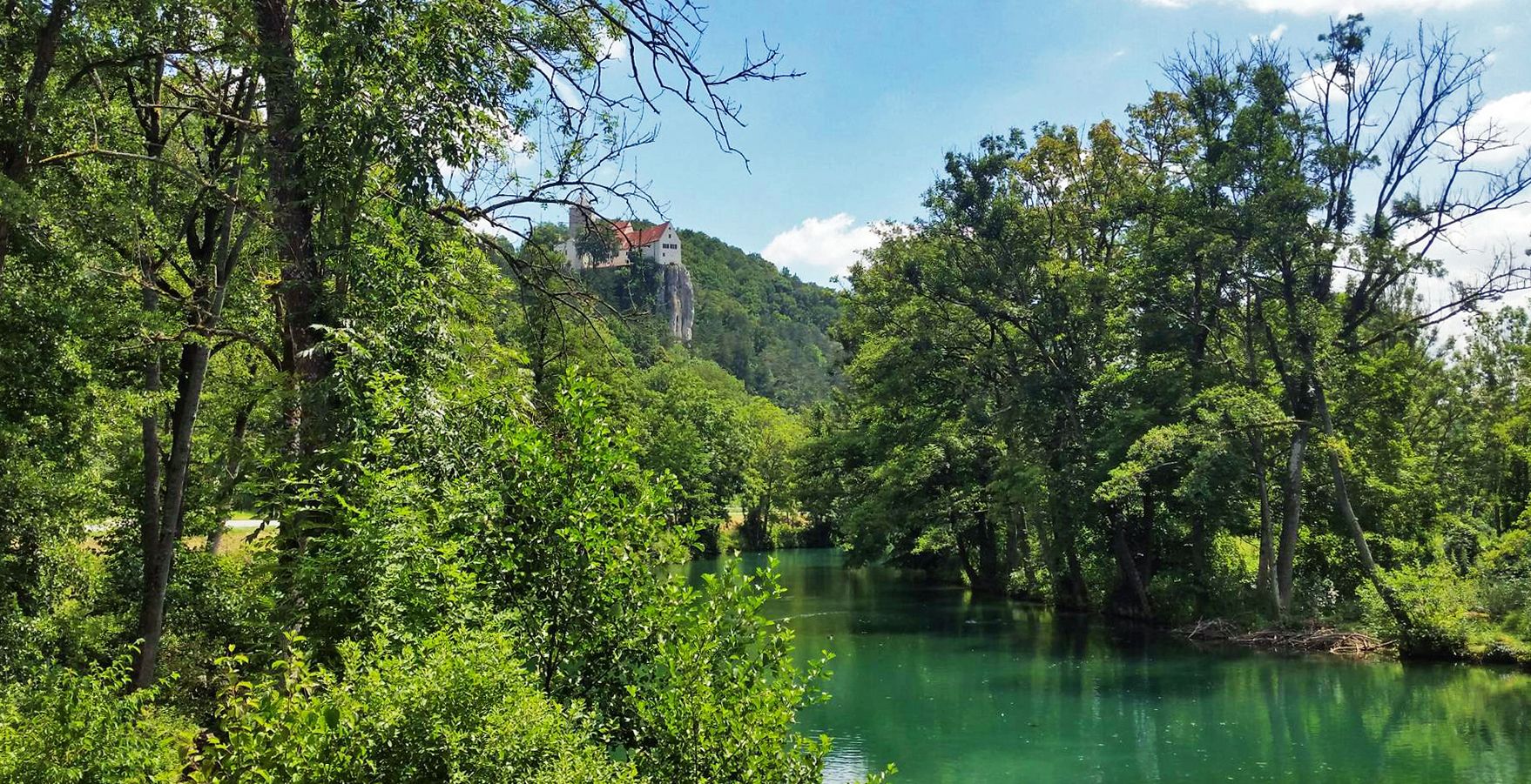
Five Rivers Cycle Path — 5 stages along Bavaria's most beautiful rivers
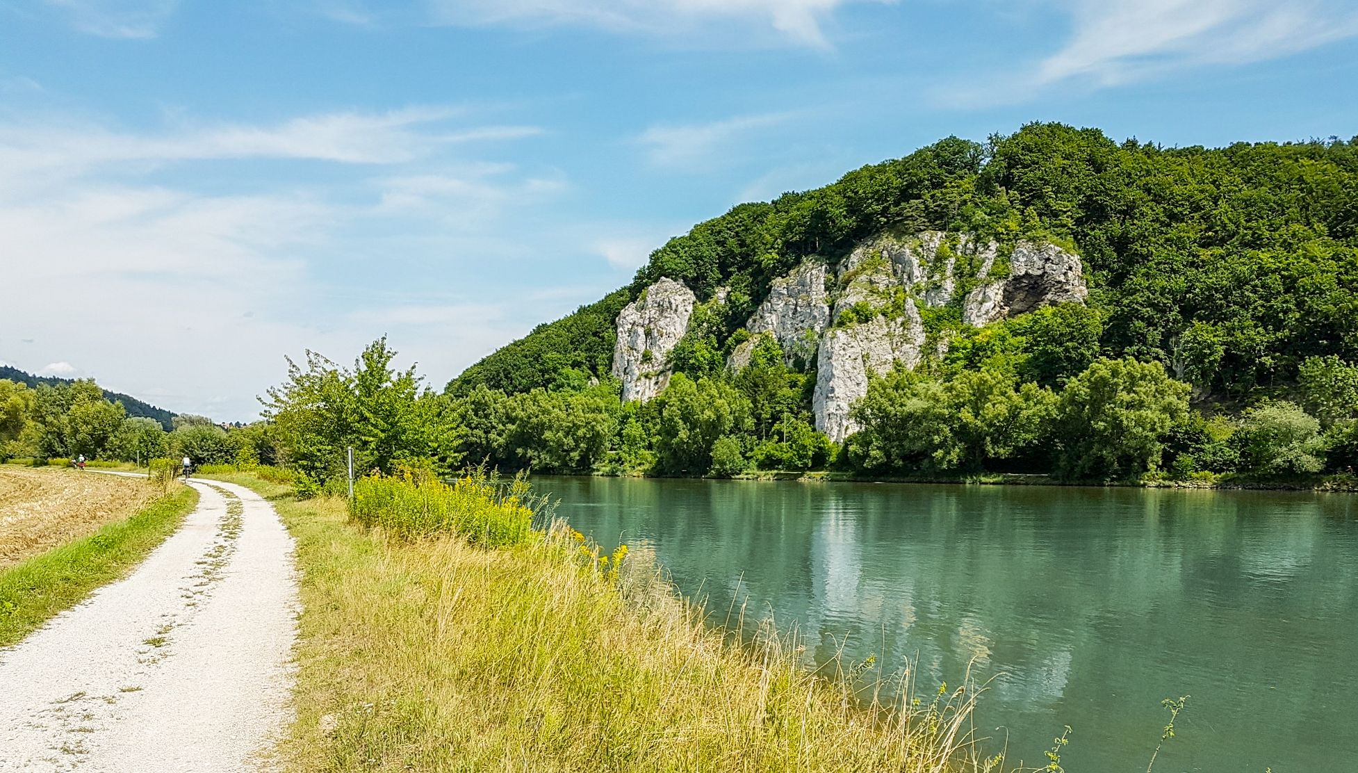
Donau-Panoramaweg – 10 days nature views and cultural insights
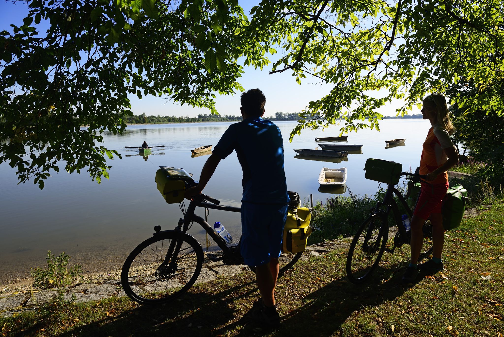
Niederbayerntour in 7 stages — Swim trunks, beer, baroque
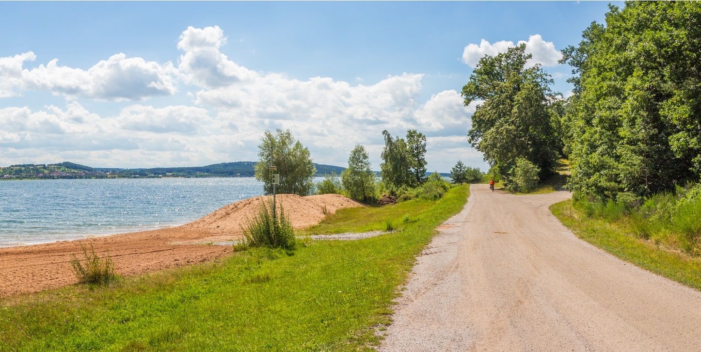
The Franconian Water Bike Path – 8 days of creeks, lakes & rivers
Other adventures in Naturpark Altmühltal


Tips from the Community

Nice path, but by no means as demanding and scrambly as variously announced.
0
0

You have a view of the Wellheim dry valley all the way to the castle ruins
0
0
Challenging path with magnificent views into the valley
0
0
Beautiful sculpture carved from a tree trunk
0
0
Beautiful, flat forest path, which leads you back to the parking lot after walking the Jägersteig.
0
0
In several places, there are very beautiful views of the Wellheimer Trockental.
0
0
Wonderful path, which however requires a certain degree of sure-footedness, a head for heights and, above all, good footwear.
0
0
Very nice trail guidance. However, you should be sure-footed and pay attention that the ground / stones are slippery in wet / damp weather.
0
0
Frequently Asked Questions
What kind of terrain can I expect on mountaineering routes in Naturpark Altmühltal?
Mountaineering in Naturpark Altmühltal is defined by its unique geological history. You'll encounter steep dolomite rock formations, dramatic limestone cliffs, and diverse rock formations. The routes often traverse river valleys and juniper heathlands, offering a varied and scenic environment.
Are there routes suitable for beginners or those looking for a less strenuous climb?
Yes, Naturpark Altmühltal offers a range of mountaineering routes. While many are considered difficult, there are 8 moderate routes available, providing options for those seeking a less strenuous experience or for beginners to gain confidence in the region's unique terrain.
What are some notable natural features or viewpoints I can see along the mountaineering routes?
The region is rich in impressive natural features. You can experience stunning views from highlights like the Teufelsfelsen Take-off Ramp and View over the Altmühl Valley. Another striking natural monument is the 'Zwölf Apostel' (Twelve Apostles) rock formation, showcasing the area's dramatic geology. Many routes offer expansive views of the meandering Altmühl River and its surrounding landscapes.
Can I find any historical sites or castles along the mountaineering trails?
Yes, the Naturpark Altmühltal is dotted with historical and cultural treasures. For instance, the route View of Riedenburg – View of Prunn Castle loop from Schloss Prunn offers views of the historic Prunn Castle. You might also encounter other castle ruins and Roman relics along the Roman Limes UNESCO World Heritage Site, adding a cultural dimension to your mountaineering adventure.
What do other mountaineers say about the routes in Naturpark Altmühltal?
The mountaineering routes in Naturpark Altmühltal are highly regarded by the komoot community, holding an average rating of 4.2 stars from over 70 reviews. Mountaineers often praise the distinctive rock formations and the challenging yet rewarding climbs, with many enjoying the expansive views from prominent cliffs like the Dohlenfelsen.
Are there any circular mountaineering routes available?
Yes, many of the mountaineering routes in Naturpark Altmühltal are designed as loops. For example, you can explore the Dohlenfelsen – Rock Window loop from Wellheim or the View from Dohlenfelsen – Dohlenfelsen loop from Konstein, which offer a complete experience starting and ending at the same point.
What is the best time of year for mountaineering in Naturpark Altmühltal?
The region offers good conditions for climbing almost year-round, thanks to its diverse rock formations. However, for the most pleasant experience, spring and autumn generally provide ideal temperatures and stable weather for mountaineering. Summer can also be excellent, but be prepared for warmer conditions.
Are there any routes that are particularly challenging for experienced mountaineers?
For experienced mountaineers seeking a challenge, Naturpark Altmühltal offers 11 difficult routes. The View of Riedenburg – View of Prunn Castle loop from Schloss Prunn is a longer, difficult option covering over 11 km with significant elevation gain, providing a demanding and rewarding experience.
Can I find accommodation or places to eat near the mountaineering trails?
Naturpark Altmühltal is well-equipped with amenities for visitors. Historic towns like Eichstätt offer various hotels, restaurants, and cafes. Many smaller villages near trailheads also provide guesthouses and traditional Bavarian pubs where you can refuel after your mountaineering adventures.
What makes the geology of Naturpark Altmühltal unique for mountaineering?
The geology of Naturpark Altmühltal is unique due to its origin from an ancient ocean during the Jurassic period. This has resulted in a landscape dominated by towering limestone and dolomite rock formations, including the 'Felsmassive des Frankenjura' (rock massifs of Franconian Jura), which are recognized as one of Germany's most significant climbing areas. These formations provide diverse and challenging climbing opportunities.
Are there any specific areas known for their rock climbing opportunities within the park?
Yes, the 'Felsmassive des Frankenjura' within Naturpark Altmühltal is a renowned climbing area, offering a wide variety of routes. Specific formations like the 'Burgsteinfelsen' near Dollnstein are also highlighted as dedicated natural climbing rocks, providing excellent conditions for climbers of all levels.
How long do mountaineering routes typically take in Naturpark Altmühltal?
The duration of mountaineering routes varies depending on their length and difficulty. For example, the Dohlenfelsen – View from Dohlenfelsen loop from Konstein is a shorter, difficult trail that can be completed in about 1 hour 42 minutes. Longer, more challenging routes, like the View of Riedenburg – View of Prunn Castle loop from Schloss Prunn, can take over 3 hours.
Most popular routes in Naturpark Altmühltal
Most popular attractions in Naturpark Altmühltal

Get inspired with the komoot mobile app


Explore more
Browse the best Mountain Hikes & Routes in other regions.
