The best MTB trails in Fóti-Somlyó Természetvédelmi Terület
4.6
(13)
258
riders
43
rides
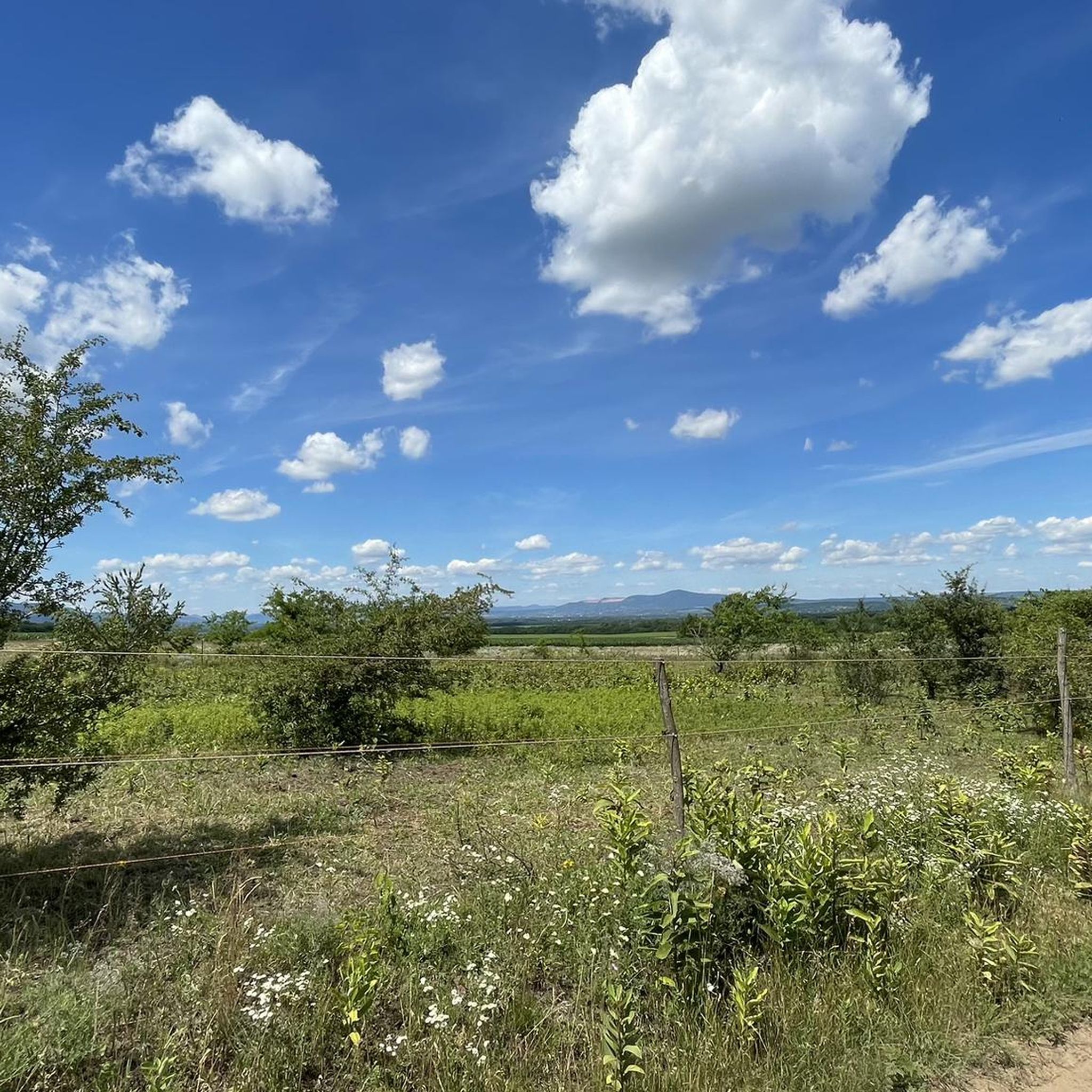
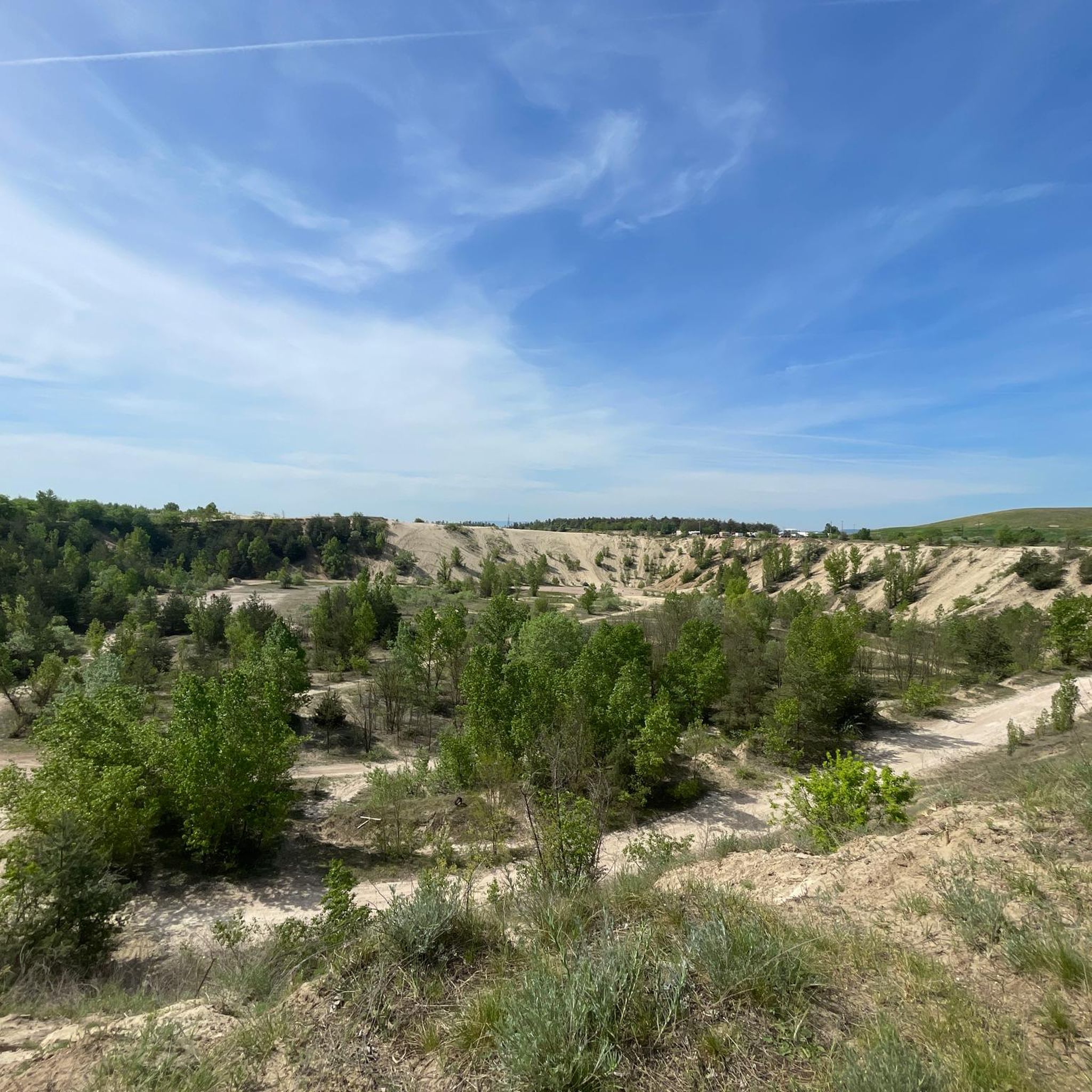
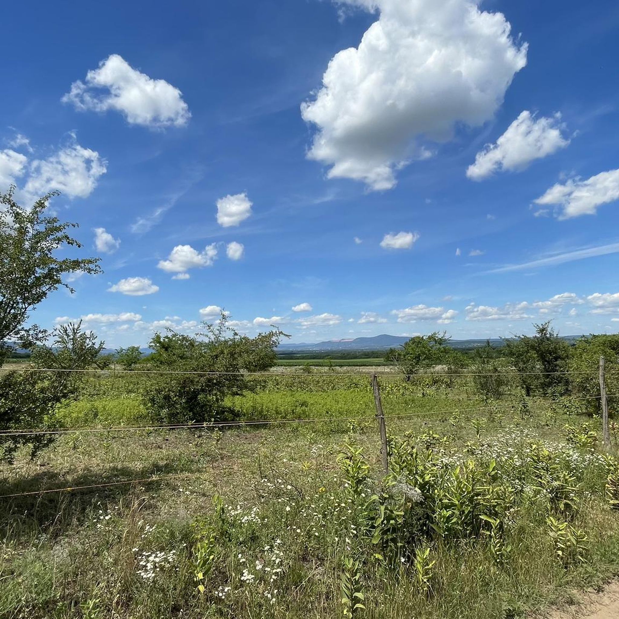
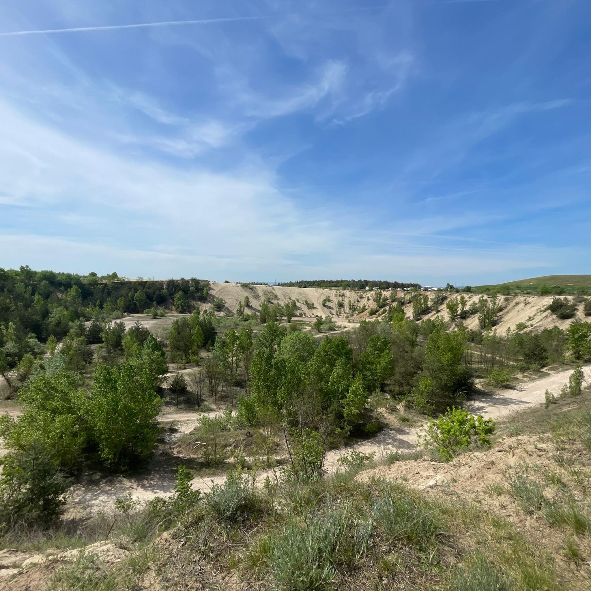
Mountain biking in Fóti-Somlyó Természetvédelmi Terület offers routes through a unique landscape situated on the edge of the Gödöllő Hills. This area, despite its modest 288-meter elevation, presents varied terrain including pyroxenandesite tuff, limestone, and sandy sediments. Riders can experience a transition between lowland and central mountain regions, with panoramic views extending across the Budai, Pilis, and Visegrád Mountains. The diverse ecosystems include forest paths and open areas, providing a range of surfaces for mountain bike trails.
Best mountain bike…
Last updated: July 15, 2026
5.0
(1)
30
riders
10.6km
00:47
130m
130m
Easy mountain bike ride. Great for any fitness level. Suitable for all skill levels.
2
riders
40.5km
03:23
580m
580m
Moderate mountain bike ride. Good fitness required. Advanced riding skills necessary.

Sign up for free
6
riders
27.7km
02:11
260m
260m
Moderate mountain bike ride. Good fitness required. Advanced riding skills necessary.
4.5
(4)
37
riders
Moderate mountain bike ride. Good fitness required. Advanced riding skills necessary.
10
riders
Easy mountain bike ride. Great for any fitness level. Suitable for all skill levels.
Get access to more routes and recommendations from other explorers.
Sign up for free
Already have an account?
Our route recommendations are based on thousands of hikes, rides, and runs completed by other people on komoot.
Start today with a free account
Your next adventure awaits.
Login or Signup
Tips from the Community

The Hungarian Parliament Building (Országház) in Budapest is not only the seat of the National Assembly but also arguably the country's most famous landmark. It is considered one of the most beautiful government buildings in the world.
0
0
The Reformed Church on Szilágyi Dezső Square (Hungarian: Szilágyi Dezső téri református templom) is one of the most striking landmarks in the Buda district of Budapest. Located directly on the bank of the Danube, it impresses above all with its Neo-Gothic architecture and its colorful exterior.
0
1
The beach of Dunakeszi (Hungarian: Dunakeszi Szabadstrand) is a real insider tip for everyone who wants to enjoy the flair of the Danube without plunging into the hustle and bustle of Budapest city center. Since Dunakeszi is located only about 15 kilometers north of Budapest, it is a popular destination for a relaxed day trip.
0
0

West side of the Danube bank, easily recognizable by the red color of the bricks that make up its facades.
2
0


Budapest Castle Garden Bazaar
2
0

BEACH! Pebbly, sandy part of the Danube bank. A pleasant place to relax. On the other side of the dam is the Duna Csárda.
0
0

55 km, in January. 😃
2
0
Frequently Asked Questions
How many mountain bike trails are available in Fóti-Somlyó Természetvédelmi Terület?
There are over 45 mountain bike trails recorded in Fóti-Somlyó Természetvédelmi Terület on komoot. These routes offer a variety of experiences, from easy loops to more challenging rides.
Are there any easy mountain bike trails suitable for beginners in Fóti-Somlyó Természetvédelmi Terület?
Yes, Fóti-Somlyó Természetvédelmi Terület offers several easy mountain bike trails. For example, the Csömör XCO Track – Csömör XCO Trail loop from Zsófialiget is an easy 10.7 km route featuring a dedicated XCO track. Another accessible option is the Horány–Dunakeszi Ferry – Duna Riverside Beach loop from Dunakeszi-Gyártelep, which is 20.1 km long and also rated easy.
What kind of terrain can I expect on mountain bike trails in Fóti-Somlyó Természetvédelmi Terület?
The terrain in Fóti-Somlyó Természetvédelmi Terület is varied, reflecting its unique geological composition. You'll encounter paths over pyroxenandesite tuff, freshwater and Miocene limestone, and loose, sandy Pannonian sediments. This creates a diverse riding experience, transitioning between lowland and central mountain-like regions, despite the modest elevation.
Are there any mountain bike routes that offer panoramic views?
Yes, Fóti-Somlyó Természetvédelmi Terület is known for its panoramic viewpoints. From various spots, you can enjoy expansive vistas stretching from Szentendre to Százhalombatta, encompassing the Budai Mountains, Pilis, and Visegrád Mountains, and even parts of the Danube Bend on clear days.
What are some notable natural features or wildlife I might encounter while mountain biking?
Fóti-Somlyó Természetvédelmi Terület is renowned for its rich biodiversity, often called the 'mountain of butterflies,' with nearly 650 species, including the protected Fóti's fritillary. You might also spot various native Hungarian lizard species, rich birdlife like woodpeckers and bee-eaters, and ancient oak trees, some over 200 years old.
Are there any historical landmarks or attractions along the mountain bike trails?
While mountain biking, you might pass by or near historical sites. The region's educational trail, the 'Lepke tanösvény,' features the Fáy Press House, a significant meeting place from the Hungarian Reform Era. The distinctive four-towered church in Fót, designed by Miklós Ybl, is also visible from the Somlyó.
What do other mountain bikers say about the trails in Fóti-Somlyó Természetvédelmi Terület?
The mountain bike trails in Fóti-Somlyó Természetvédelmi Terület are highly rated by the komoot community, with an average score of 4.8 stars from over 9 reviews. Riders often praise the varied terrain and the opportunity to explore both natural and historical landmarks.
Are there any long-distance mountain bike routes in the area?
Yes, there are longer routes available. For instance, the Leander Terrace – Hungarian Parliament Building loop from Dunakeszi-Gyártelep is a moderate 48.5 km trail. Another moderate option is the Trianon Memorial – Gödöllő Royal Palace loop from Szilasliget, which covers 40.5 km and connects historical landmarks.
Are there any specific mountain biking tracks or XCO courses?
Yes, the area includes dedicated mountain biking facilities. The Csömör XCO Track – Csömör XCO Trail loop from Zsófialiget is an example of a route that features a dedicated XCO track for mountain biking enthusiasts.
What is the overall difficulty level of mountain biking in Fóti-Somlyó Természetvédelmi Terület?
The trails in Fóti-Somlyó Természetvédelmi Terület cater to various skill levels. Out of 46 routes, 9 are rated easy, 35 are moderate, and 2 are difficult, offering options for beginners to more experienced riders.
Is Fóti-Somlyó Természetvédelmi Terület suitable for family mountain biking?
While the region offers varied terrain, some easy routes are suitable for families. However, it's important to note that the area is a sensitive natural reserve. Responsible riding on designated paths is crucial to protect the ecosystem, especially for families with children.
Are there any circular mountain bike routes in Fóti-Somlyó Természetvédelmi Terület?
Many of the mountain bike routes in Fóti-Somlyó Természetvédelmi Terület are designed as loops, allowing you to start and end at the same point. Examples include the Csömör XCO Track – Csömör XCO Trail loop from Zsófialiget and the Csömör XCO Track – Csömör Fishing Lake loop from Szilasliget.
Most popular routes in Fóti-Somlyó Természetvédelmi Terület

Get inspired with the komoot mobile app


Explore more
Browse the best MTB trails in other regions.
