The best walks and hikes in Fóti-Somlyó Természetvédelmi Terület
4.8
(17)
117
hikers
4
hikes
Hiking in Fóti-Somlyó Természetvédelmi Terület features a landscape characterized by rolling hills and woodlands, offering diverse natural environments for outdoor activities. The area is a nature reserve, providing protected habitats and scenic paths. Trails often lead through forested sections and open areas, with moderate elevation changes.
Best hiking trails in Fóti-Somlyó Természetvédelmi Terület
- The most popular hiking route is Ancient Oak Tree loop from Fót, a 2.2 miles (3.6 km) trail that takes 1 hour 1 minute to complete.…
Last updated: July 18, 2026
4.8
(9)
85
hikers
3.59km
01:01
80m
90m
Easy hike. Great for any fitness level. Easily-accessible paths. Suitable for all skill levels.
3.00km
00:55
100m
100m
Easy hike. Great for any fitness level. Easily-accessible paths. Suitable for all skill levels.

Sign up for free
5.0
(6)
14
hikers
12.6km
03:35
280m
280m
Moderate hike. Good fitness required. Easily-accessible paths. Suitable for all skill levels.
Our route recommendations are based on thousands of hikes, rides, and runs completed by other people on komoot.
Start today with a free account
Your next adventure awaits.
Login or Signup
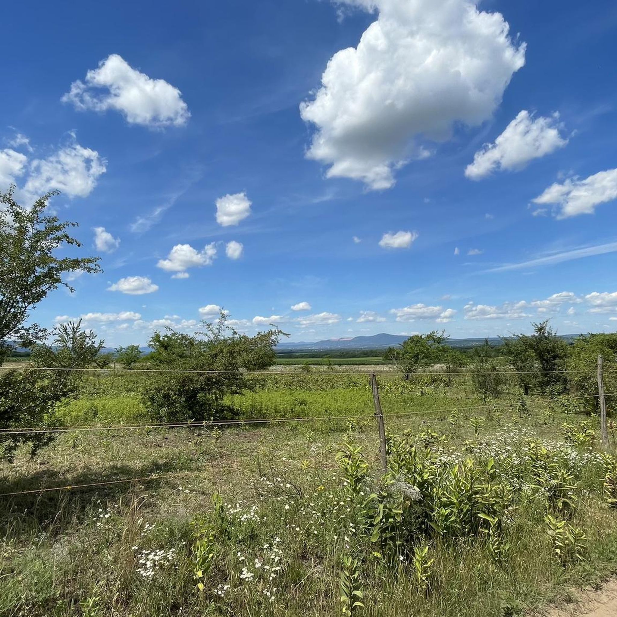
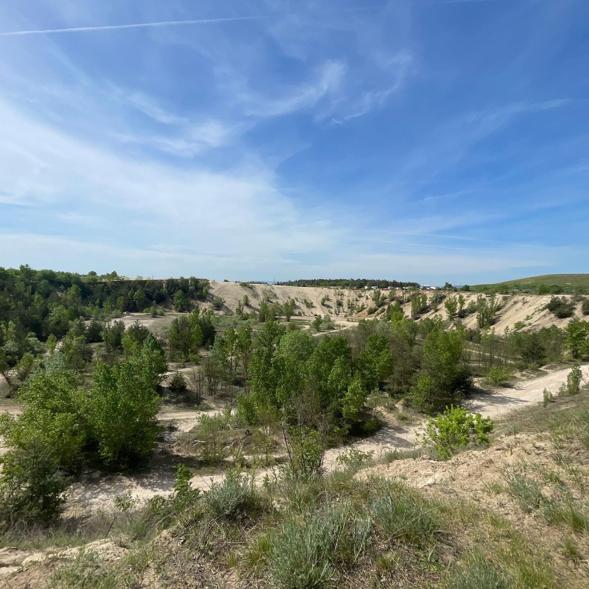
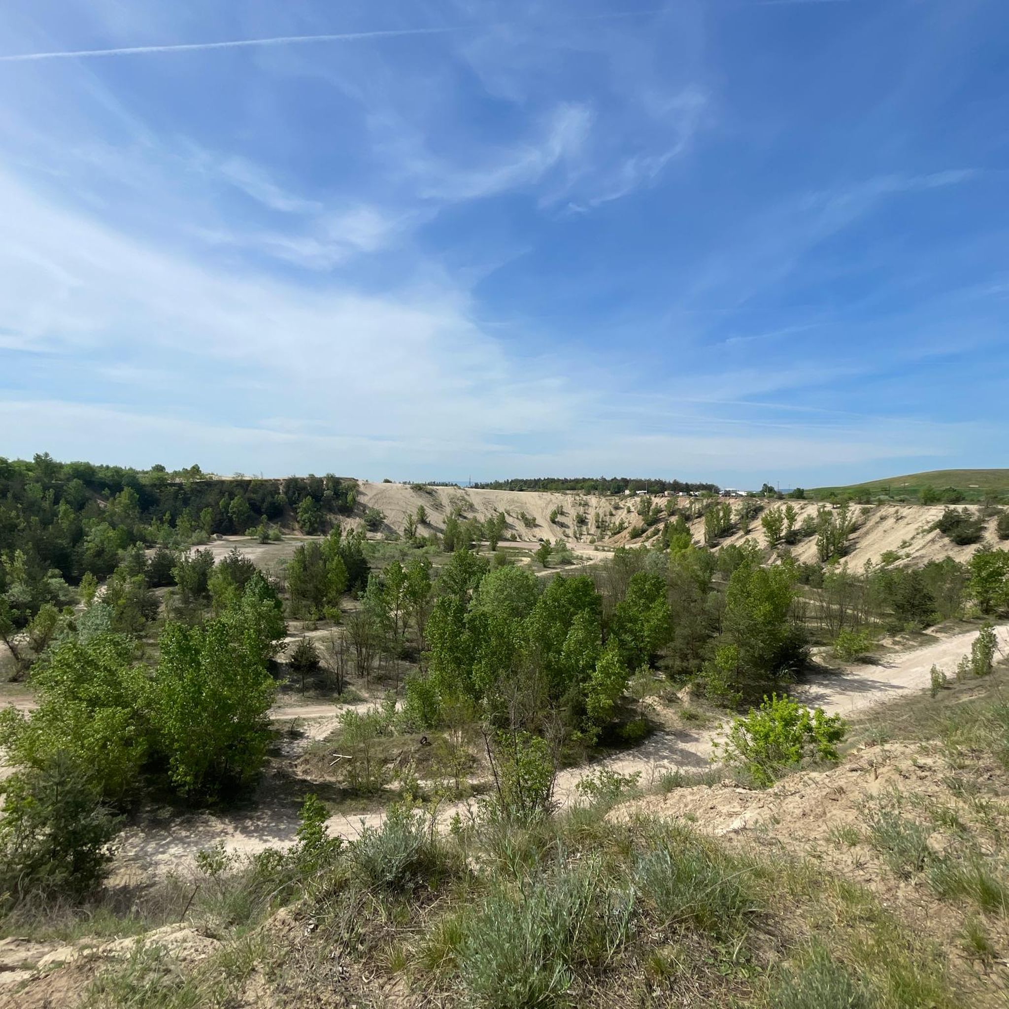
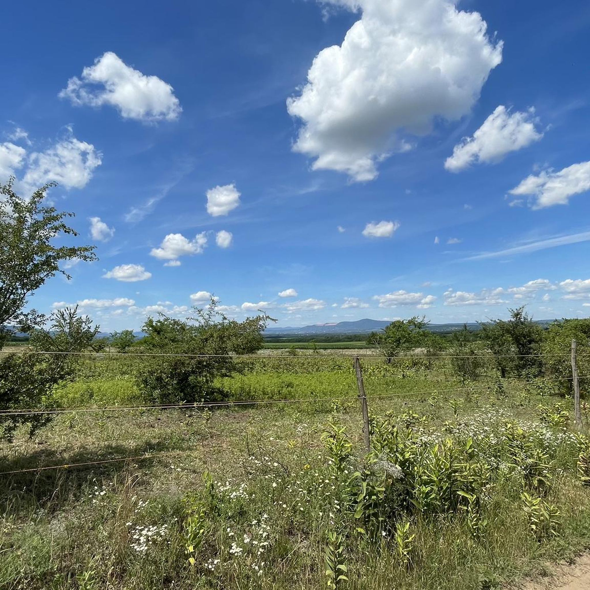
Tips from the Community

Climbing the tower is at your own risk! Do not climb in rainy, windy, snowy weather, or with muddy shoes!
0
0
Frequently Asked Questions
What is the general difficulty of hiking trails in Fóti-Somlyó Természetvédelmi Terület?
The trails in Fóti-Somlyó Természetvédelmi Terület are predominantly easy to moderate. Out of the available routes, 3 are classified as easy, and 1 is moderate. This makes the area suitable for a wide range of hikers, from beginners to those looking for a slightly more challenging experience.
How long do hikes typically take in Fóti-Somlyó Természetvédelmi Terület?
Hikes in Fóti-Somlyó Természetvédelmi Terület vary in length. Shorter, easy loops like the Ancient Oak Tree loop from Fót can be completed in about an hour. Longer, moderate routes such as the Margita Geodetic Tower – Margita loop from Szada can take around 3.5 hours.
Are there family-friendly hiking options in Fóti-Somlyó Természetvédelmi Terület?
Yes, Fóti-Somlyó Természetvédelmi Terület offers several family-friendly hiking options. Many of the trails are easy and pass through pleasant woodlands with gentle elevation changes, making them suitable for children. The shorter loop trails are particularly good for families.
Can I bring my dog on the hiking trails in Fóti-Somlyó Természetvédelmi Terület?
Generally, dogs are welcome on trails in Fóti-Somlyó Természetvédelmi Terület, as it is a nature reserve with public access. However, it's always recommended to keep dogs on a leash to protect local wildlife and ensure a pleasant experience for all hikers. Please check local signage for any specific restrictions.
Are there any circular hiking routes available?
Yes, Fóti-Somlyó Természetvédelmi Terület features several circular hiking routes. Examples include the Ancient Oak Tree loop from Fót and the Margita Geodetic Tower – Margita loop from Szada, which allow you to start and end at the same point without retracing your steps.
What is the best time of year to go hiking in Fóti-Somlyó Természetvédelmi Terület?
The best time to hike in Fóti-Somlyó Természetvédelmi Terület is typically during spring and autumn. In spring, the woodlands are vibrant with new growth, and in autumn, the foliage offers beautiful colors. Summer can also be pleasant, especially in the shaded forest sections, but be mindful of warmer temperatures. Winter hiking is possible, but trails may be muddy or icy.
What kind of wildlife can I expect to see while hiking?
As a nature reserve, Fóti-Somlyó Természetvédelmi Terület is home to various wildlife. You might encounter common forest animals such as deer, foxes, and a variety of bird species. The protected habitats support diverse flora and fauna, making it a rewarding area for nature observation.
What do other hikers enjoy most about Fóti-Somlyó Természetvédelmi Terület?
The area is highly rated by the komoot community, with an average score of 4.7 stars from over 15 reviews. Hikers often praise the quiet woodlands, the well-maintained paths, and the opportunity to enjoy nature close to urban areas. The varied terrain, from gentle slopes to moderate climbs, is also frequently highlighted.
Are there any viewpoints or notable landmarks along the trails?
Yes, the Margita Geodetic Tower – Margita loop from Szada offers views from the geodetic tower. The region is characterized by rolling hills and woodlands, providing scenic vistas, especially from higher points.
Is there parking available near the hiking trails?
While specific parking areas are not detailed in the route descriptions, Fót and Szada, the starting points for many trails, are accessible by car. It is generally possible to find parking in or near these towns, often close to trailheads or public areas. We recommend checking local maps or community information for designated parking spots before your visit.
How many hiking trails are there in Fóti-Somlyó Természetvédelmi Terület?
There are over 4 hiking routes recorded in Fóti-Somlyó Természetvédelmi Terület on komoot, offering a variety of experiences for different skill levels.
Most popular routes in Fóti-Somlyó Természetvédelmi Terület

Get inspired with the komoot mobile app


Explore more
Browse the best Hikes in other regions.
