The best running trails in Vilnios Hidrografinis Draustinis
4.7
(3)
307
runners
21
runs
Jogging in Vilnios Hidrografinis Draustinis offers a diverse natural landscape, characterized by the meandering Vilnia River and extensive forested areas. The region encompasses 1222 hectares, featuring a mix of spruce, birch, and pine woodlands interspersed with open meadows. The shallow floodplain valley of the Vilnia River provides a serene backdrop for running, with varied terrain suitable for different fitness levels. This protected area, established in 1992, preserves the middle section of the Vilnia River valley, making it an ideal location…
Last updated: July 10, 2026
22
runners
Hard run. Very good fitness required. Mostly paved surfaces. Suitable for all skill levels.
11
runners
7.34km
00:51
50m
50m
Moderate run. Good fitness required. Mostly paved surfaces. Suitable for all skill levels.

Sign up for free
61
runners
6.48km
00:45
30m
30m
Moderate run. Good fitness required. Mostly paved surfaces. Suitable for all skill levels.
9
runners
5.44km
00:34
60m
60m
Moderate run. Good fitness required. Mostly paved surfaces. Suitable for all skill levels.
5.0
(1)
2
runners
12.0km
01:17
100m
100m
Moderate run. Good fitness required. Mostly paved surfaces. Suitable for all skill levels.
Get access to more routes and recommendations from other explorers.
Sign up for free
Already have an account?
Our route recommendations are based on thousands of hikes, rides, and runs completed by other people on komoot.
Start today with a free account
Your next adventure awaits.
Login or Signup
Popular around Vilnios Hidrografinis Draustinis
Tips from the Community

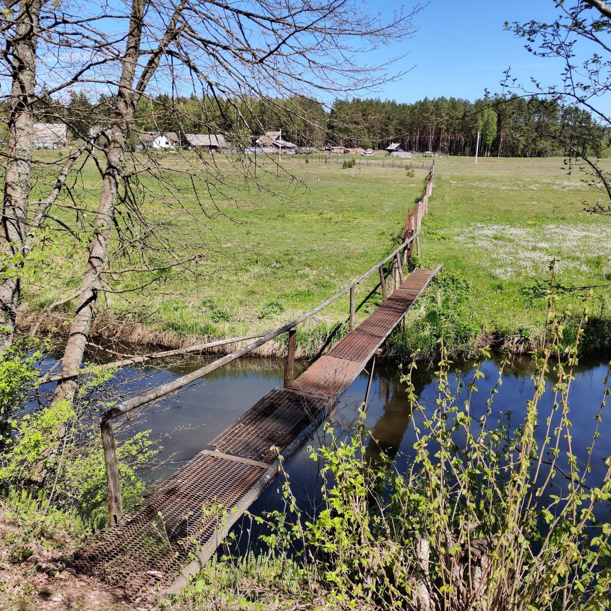
A great place to stay or take a walk...
0
0
Frequently Asked Questions
How many running routes are available in Vilnios Hidrografinis Draustinis?
Vilnios Hidrografinis Draustinis offers a good selection of running trails, with over 20 routes available for you to explore. These range in difficulty and length, catering to various preferences.
What kind of terrain can I expect when running in Vilnios Hidrografinis Draustinis?
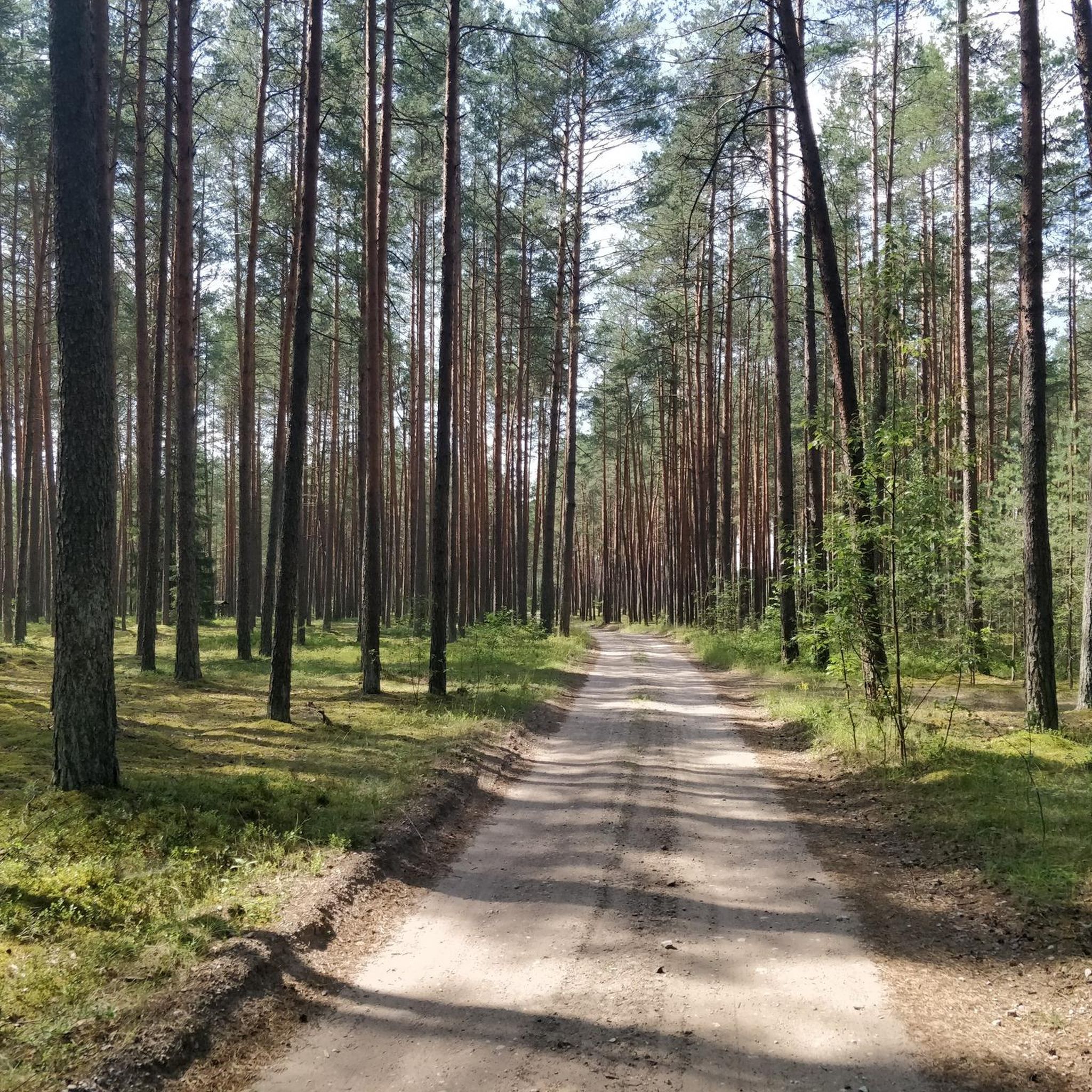
The terrain in Vilnios Hidrografinis Draustinis is quite diverse, characterized by the meandering Vilnia River valley. You'll find yourself running through extensive forested areas with spruce, birch, and pine trees, interspersed with open, sunny meadows. The shallow floodplain valley of the Vilnia River provides a serene and varied backdrop for your run.
Are there running routes suitable for beginners or those looking for an easy jog?
Yes, Vilnios Hidrografinis Draustinis has several easy running paths perfect for beginners or a relaxed jog. There are 4 routes specifically categorized as easy, offering gentle gradients and pleasant surroundings.
Are there challenging long-distance running trails in the reserve?
Absolutely. For those seeking a more challenging experience, there are 3 routes categorized as difficult. One notable option is the Skarbelis Lake Recreation Area – Tapeliai Lake First Beach loop from Bezdoniai Eldership, which spans 16.8 km (10.4 miles) and features varied terrain with moderate elevation changes.
Can I find circular running routes in Vilnios Hidrografinis Draustinis?
Yes, many of the running trails in Vilnios Hidrografinis Draustinis are designed as loops, offering convenient circular routes. For example, the popular Running loop from Galgiai is a moderate 7.3 km (4.6 miles) path, and the Tapeliai Lake First Beach loop from Tapelių ežeras is a 6.5 km (4.0 miles) trail that takes you through forests and along the lake.
Are there any scenic viewpoints or natural features to look out for while running?
While running in Vilnios Hidrografinis Draustinis, you'll be surrounded by natural beauty. The meandering Vilnia River itself is a constant scenic feature, along with diverse forests and open meadows. The reserve's purpose is to preserve this hydrographic landscape, so every route offers picturesque views of the river valley and its natural environment.
Is Vilnios Hidrografinis Draustinis suitable for family-friendly running or jogging with children?
Yes, the varied terrain and presence of easy routes make Vilnios Hidrografinis Draustinis suitable for family-friendly running. The tranquil natural setting provides a pleasant environment for children to enjoy the outdoors while jogging or walking alongside. Look for the easier, shorter loop trails for a more relaxed family experience.
Are dogs allowed on the running trails in Vilnios Hidrografinis Draustinis?
Generally, natural reserves in Lithuania, including Vilnios Hidrografinis Draustinis, are welcoming to dogs, provided they are kept on a leash and owners clean up after them. It's always best to observe local signage for any specific restrictions in certain areas, but the trails are typically dog-friendly.
What are the parking options for accessing the running trails?
While specific parking lots aren't detailed in the guide data, natural areas like Vilnios Hidrografinis Draustinis typically have designated parking areas near popular access points or trailheads. Given the presence of small villages like Pečiulinė, Žagariškės, and Taurija within the park, you may find parking facilities in or near these settlements.
Is public transport available to reach Vilnios Hidrografinis Draustinis for running?
Access to Vilnios Hidrografinis Draustinis by public transport might be limited, as it's a natural reserve. However, some local bus routes may serve the small villages located within or on the periphery of the park, such as Pečiulinė, Žagariškės, and Taurija. It's advisable to check local public transport schedules for routes connecting to these areas.
Are there any amenities like cafes or places to rest near the running routes?
The reserve itself is primarily a natural area, so dedicated cafes or extensive amenities directly on the trails are unlikely. However, the small villages located within the park, such as Pečiulinė, Žagariškės, and Taurija, might offer basic facilities or local shops. For more comprehensive amenities, you would likely need to visit larger towns nearby.
What do other runners enjoy the most about jogging in Vilnios Hidrografinis Draustinis?
The area is highly rated by the komoot community, with an average score of 4.7 stars from 3 reviews. Runners often praise the diverse natural landscape, the tranquility of the Vilnia River valley, and the varied terrain that makes for an engaging running experience. The mix of dense woodlands and open meadows is frequently highlighted as a key attraction.
Most popular routes in Vilnios Hidrografinis Draustinis

Get inspired with the komoot mobile app


Explore more
Browse the best Running Trails & Routes in other regions.
